Maps & PrintsBartele Gallery · Langweer
Home / Antique Maps / Australia & Oceania

Australia & Oceania · 19th century

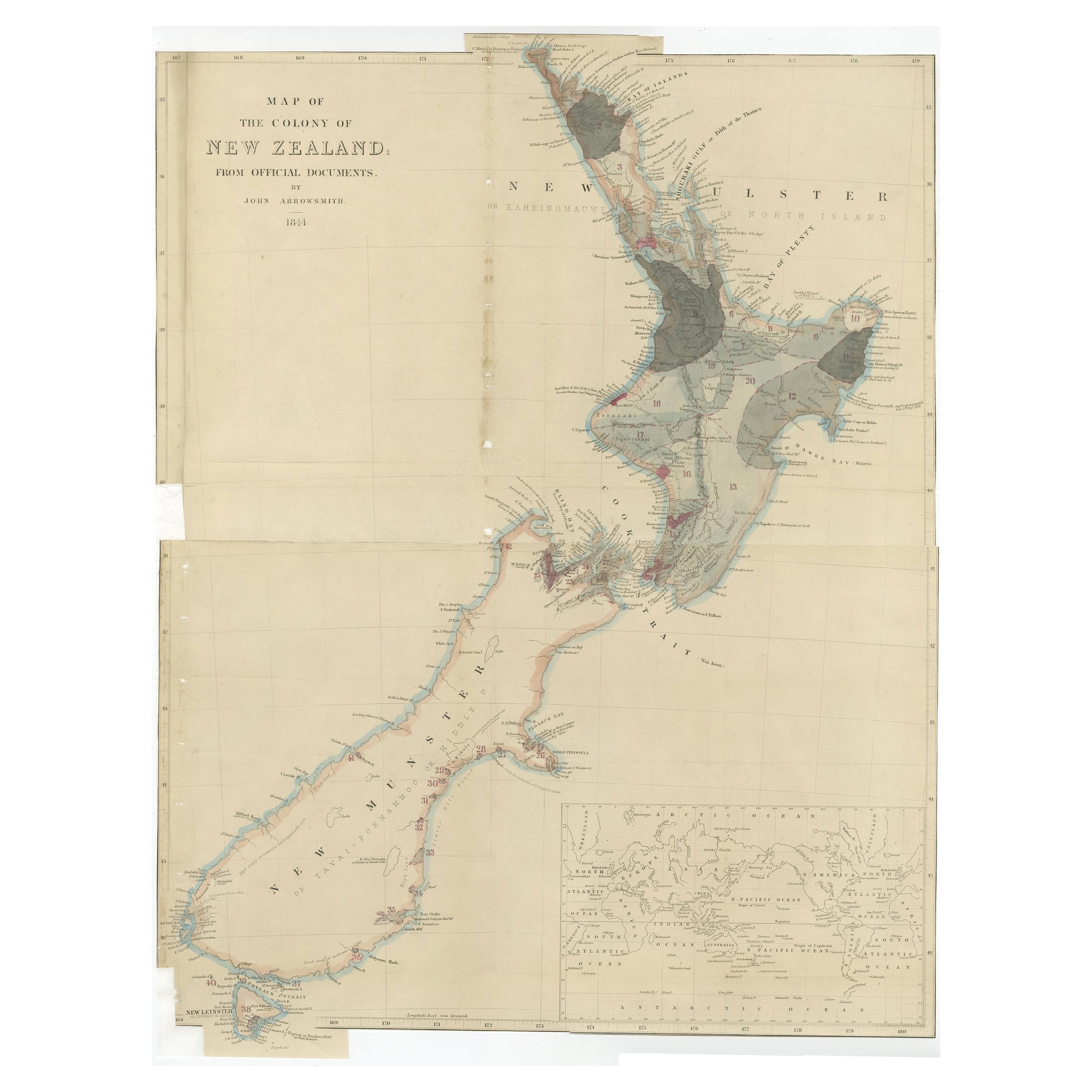
Antique Map of New Zealand by Arrowsmith '1844'

€ 1 750

One of a kind: this is the sheet in the photographs. Ships from Langweer, the Netherlands.

Date
1844
Sheet size
60 × 47 cm (23.6 × 18.5 in)
Condition
Fair
Reference
BG-11727

Condition

Repaired: Professional re-backing. Professionally restored, some defects still visible. Shows some wear, please study images carefully.
About this sheet

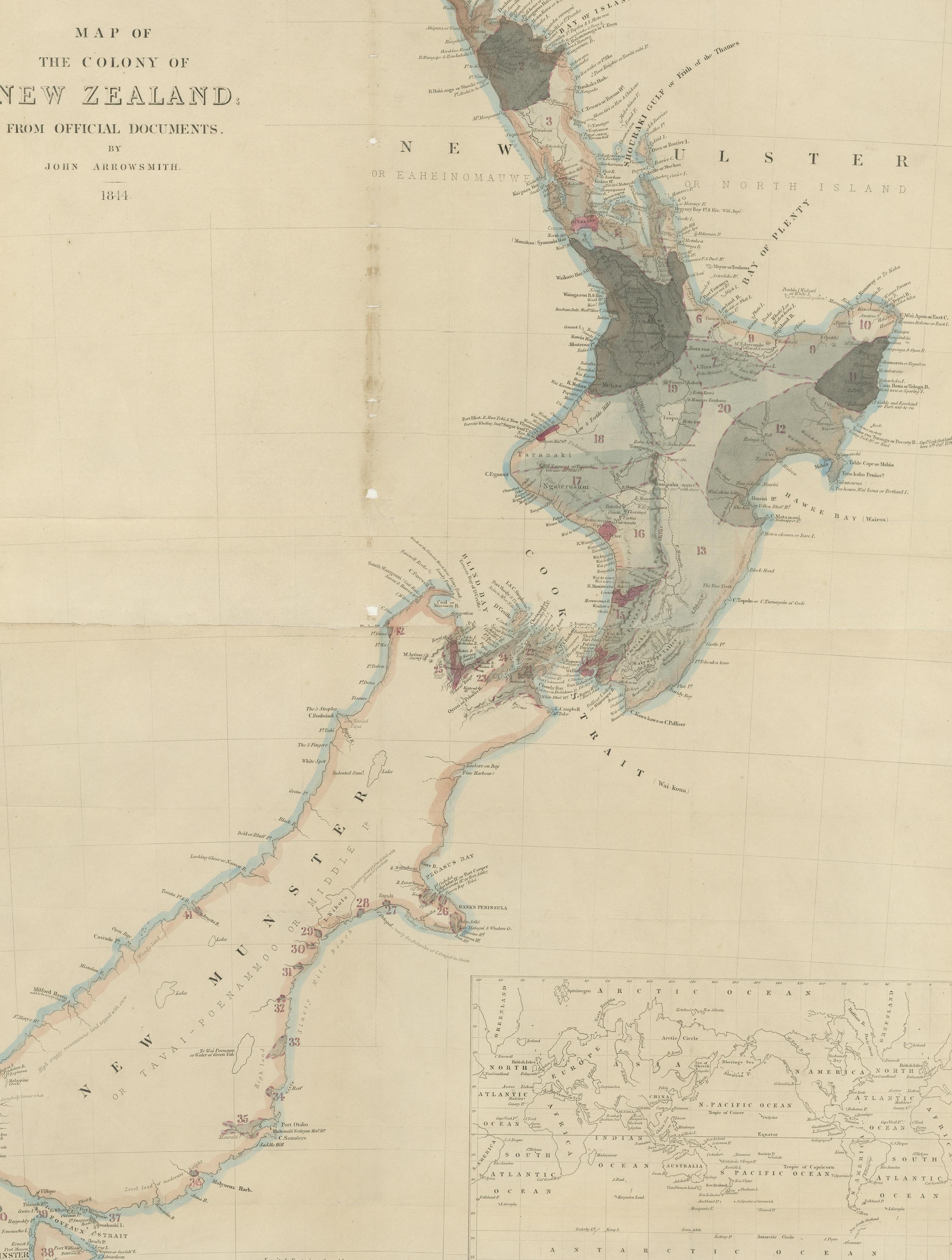
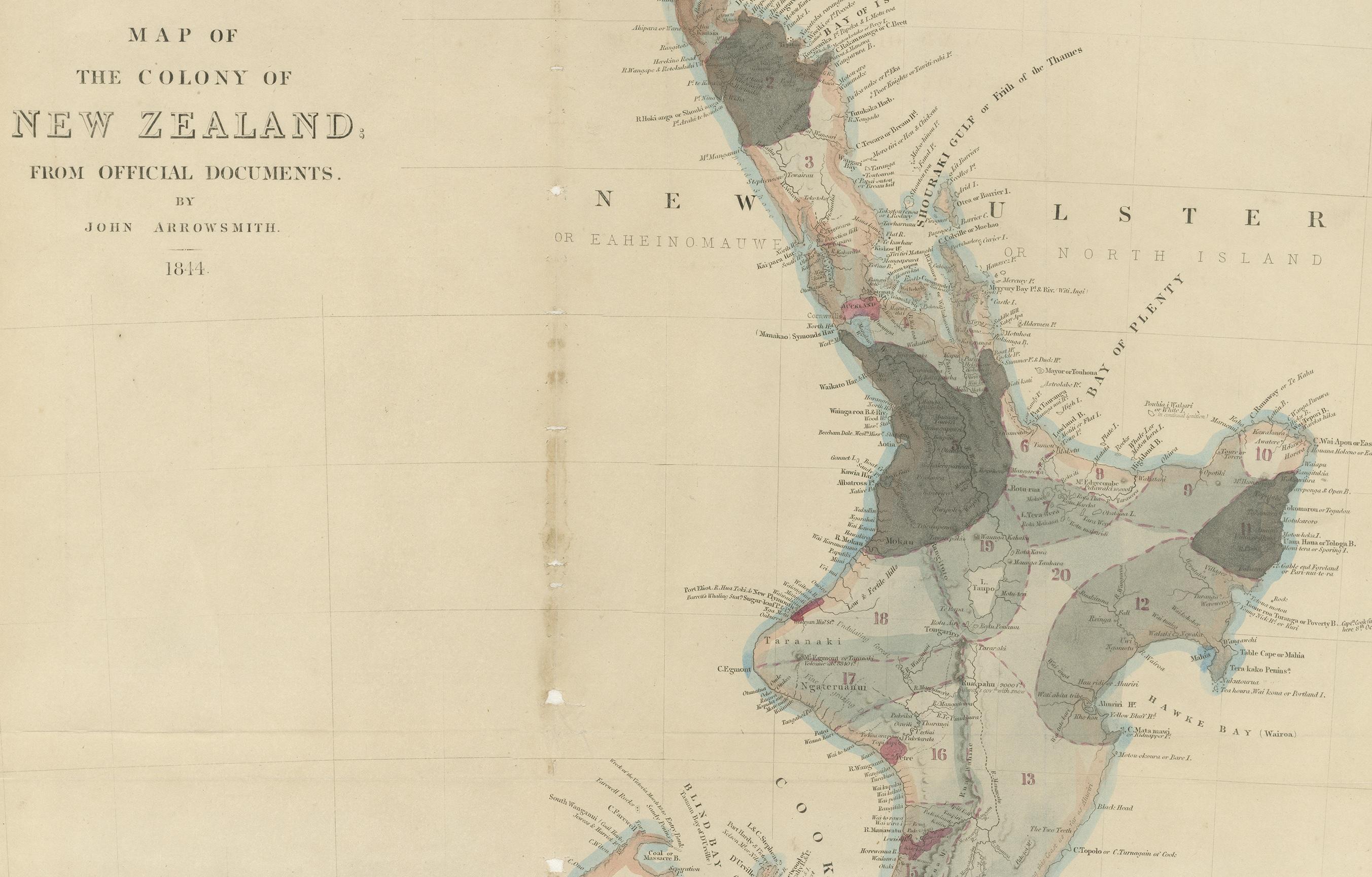
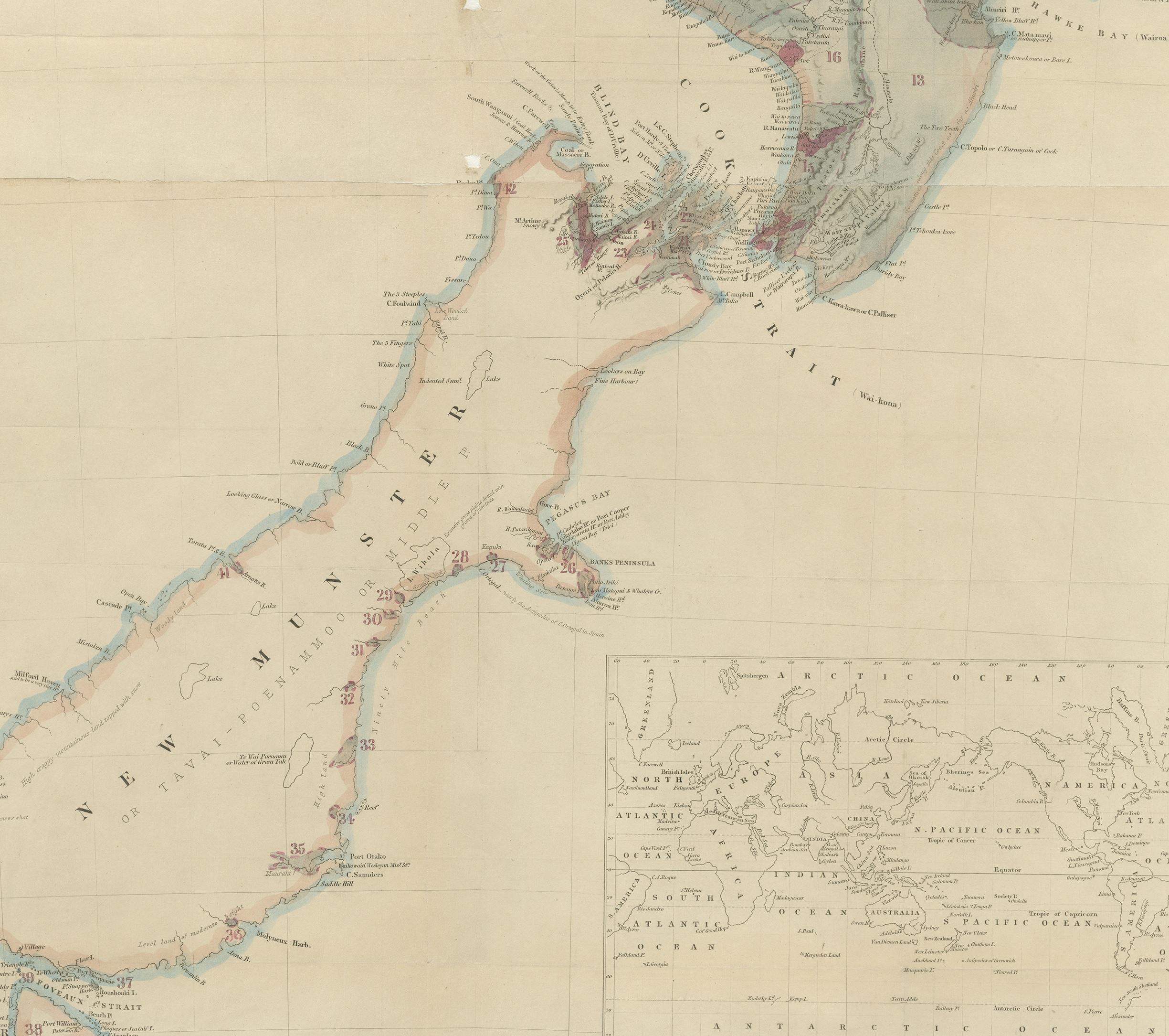
Antique map titled 'Map of the colony of New Zealand from official documents'. A scarce map of New Zealand. First issued in the 1830s, this state shows the progress in the exploration and development of New Zealand, but still pre-dates the addition of New Zealand's counties.The three islands of New Zealand are labelled as New Ulster, New Munster and New Leinster, a nomenclature soon abandoned, that coincided with the period of Irish immigration following the Potato Famine. Published by John Arrowsmith, 1844.

More from Australia & Oceania

Ask about this sheet

Antique Map of New Zealand by Arrowsmith '1844'
1844 · Ref. BG-11727 · € 1 750
We reply by email, usually within one working day.