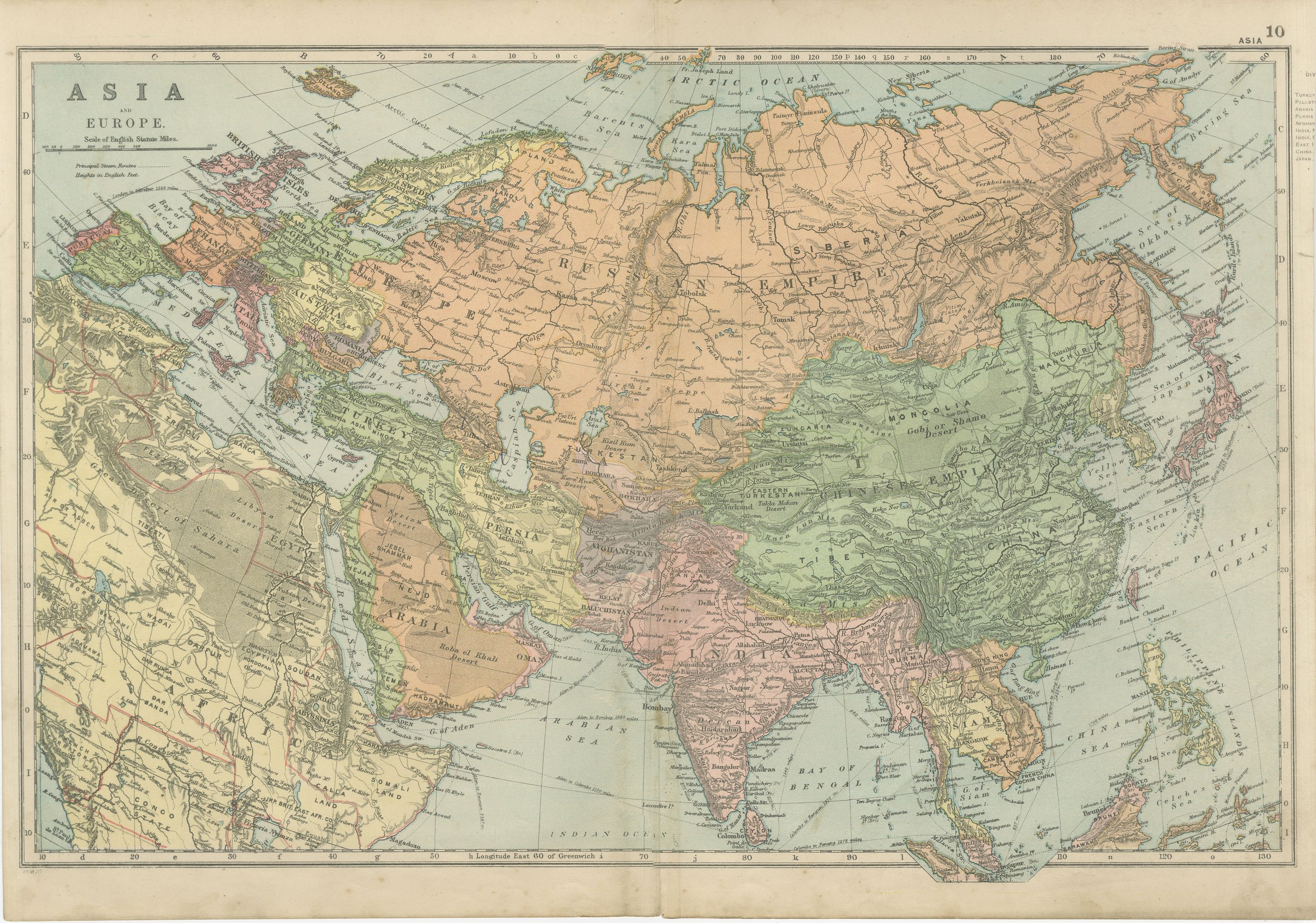
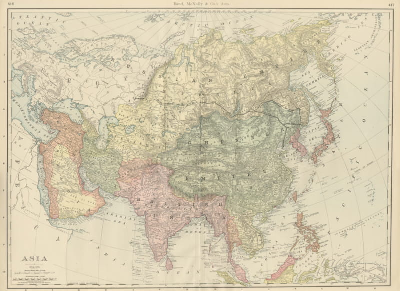
Antique Map of Asia and Europe, the Russian and Chinese Empires, 1898
€ 265
Original antique · The actual sheet photographed · Certificate of authenticity on request · Sold unframed · Worldwide shipping from € 15 (rates)
Date
1898
Mapmaker / artist
George Washington Bacon
Publisher
G. W. Bacon and Company, Limited, 127 Strand, London
Technique
Lithograph
Coloring
Printed color
Sheet size
34 × 54 cm (13.4 × 21.3 in)
Condition
Good
Reference
BG-06675-10
What the condition grades mean
Excellent
Bright and clean, with no faults worth mentioning.
Very good
Only light signs of age, such as faint toning.
Good
Normal signs of age for a sheet of this period: toning, some foxing, small marks or neat old repairs.
Fair
Clear faults such as staining, tears or repairs, priced to match.
Every fault we see is written in the condition note, and the whole sheet is shown uncropped in the photos.
Condition
Even age toning, the paper a warm cream, with the paper darker along the bottom edge and gray handling soiling in the margins. The printed image itself is clean.
About this sheet
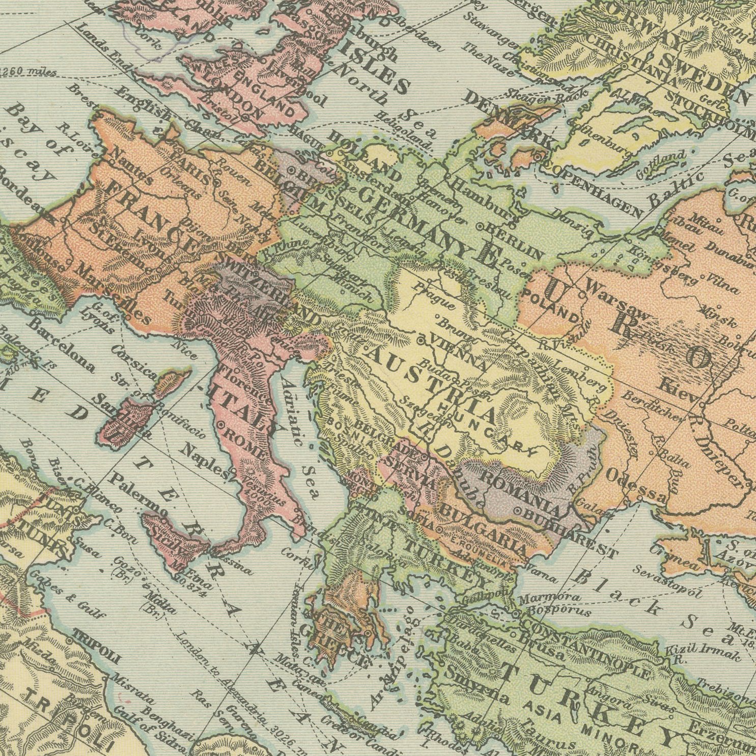
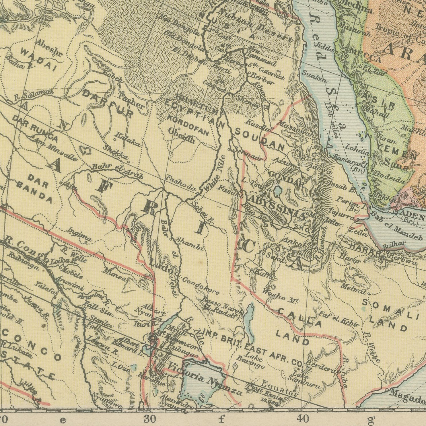
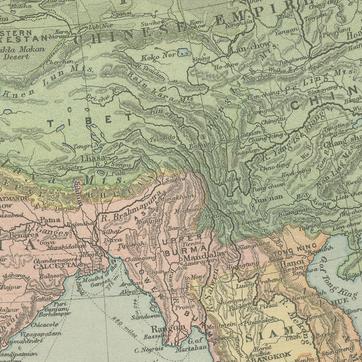
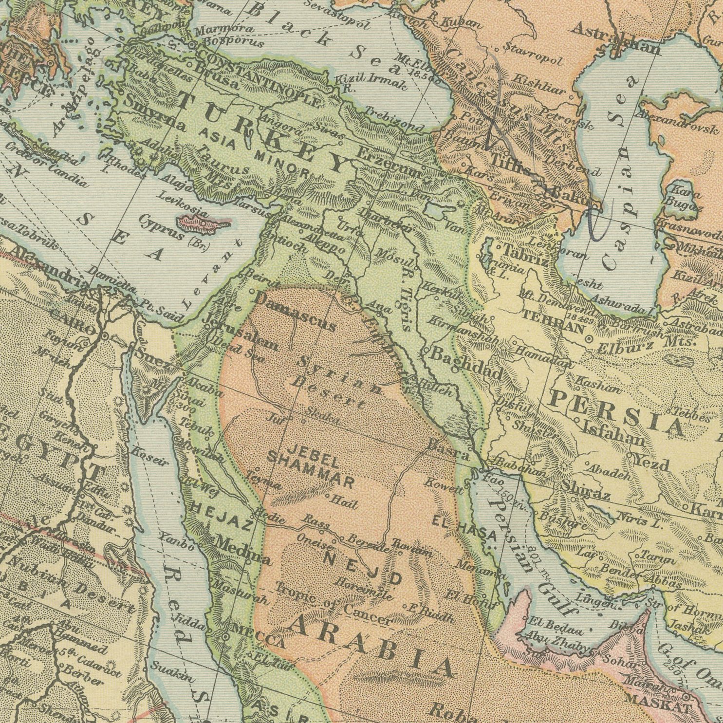
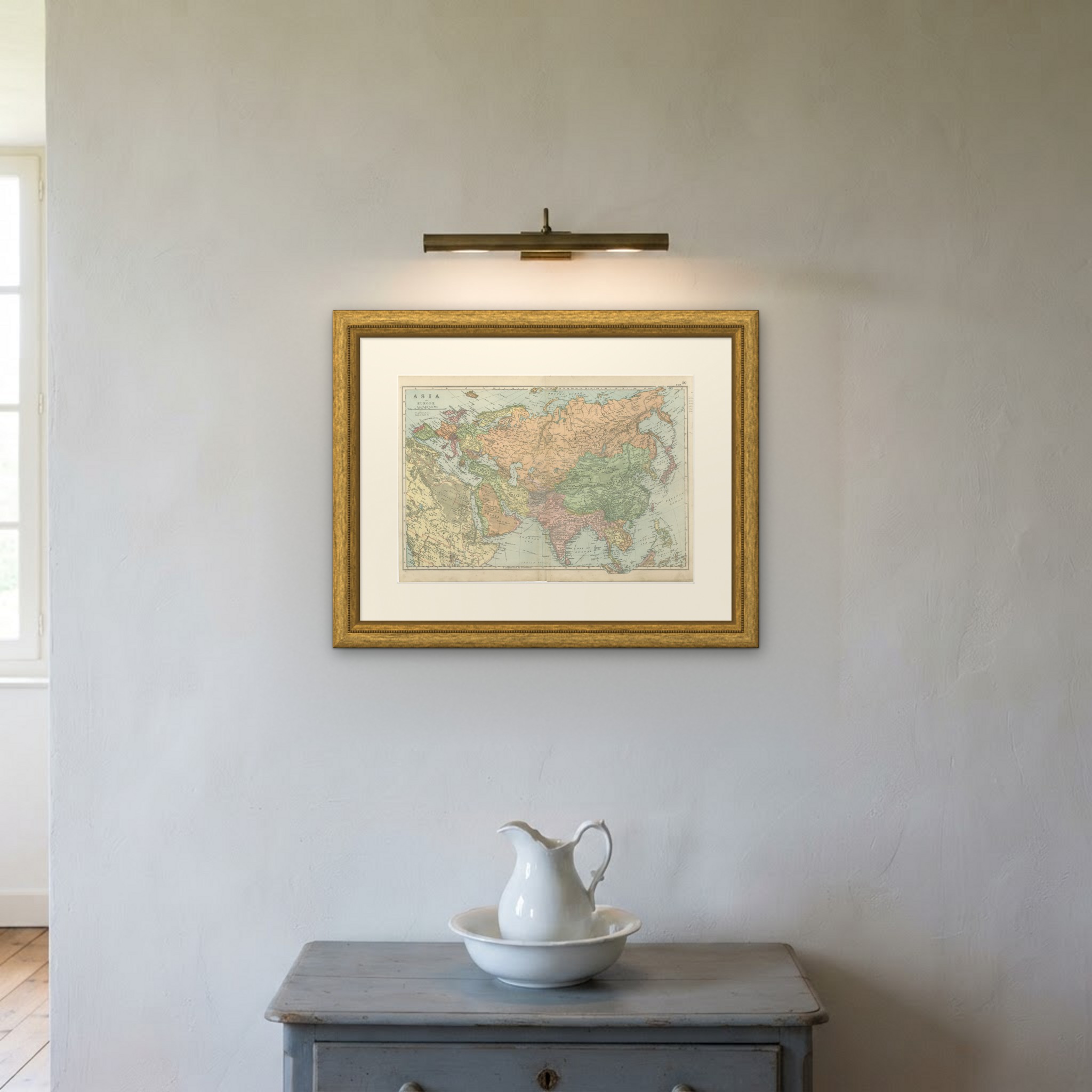
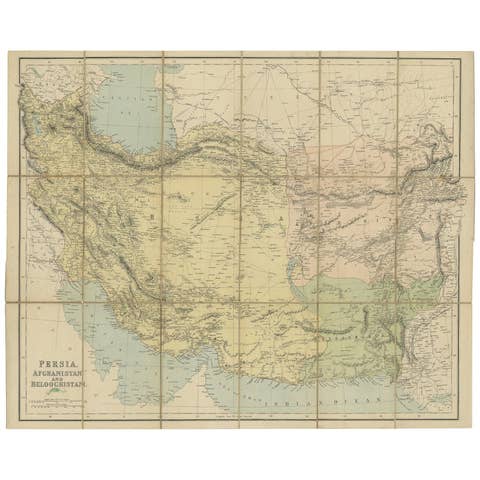
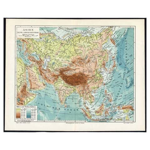
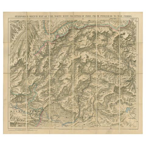
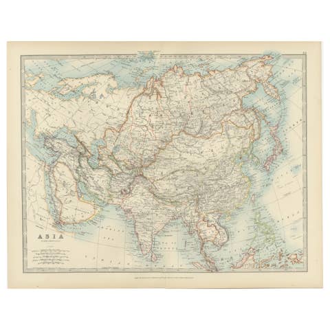
Original antique map of Asia and Europe on one double page sheet, color printed in 1898 for Bacon's Commercial and Library Atlas of the World. The map runs from the Atlantic to Japan and from the Arctic coast to the Indian Ocean, each empire and dependency washed in its own color: the Russian Empire across the whole north, the Chinese Empire with Mongolia and Tibet, British India, French Indo-China, Persia, Afghanistan, Siam and the Dutch East Indies, with the caravan roads and the first railway lines marked across central Asia.
The sheet was printed for the Commercial and Library Atlas of the World, the reference atlas G. W. Bacon and Company, Limited published from the Strand in London in 1898. Bacon edited it himself, and his Geographical Establishment drew, printed and colored every plate. One hundred double page maps and one hundred insets covered the whole of the known world, with the railway and steamship lines that were then remaking it marked throughout.
The sheet shows the chessboard of the Great Game as it stood a year before the century turned, with Russian and British spheres pressed together along the Afghan and Persian frontiers and the Trans-Siberian line being pushed east. For a buyer it is an uncommonly useful single map, because the whole of the old world sits on one page at a scale that still names provinces and ports. It reads well framed and is a natural choice for anyone with a connection to Asia or to the history of empire.
Even age toning, the paper a warm cream, with the paper darker along the bottom edge and gray handling soiling in the margins. The printed image itself is clean.
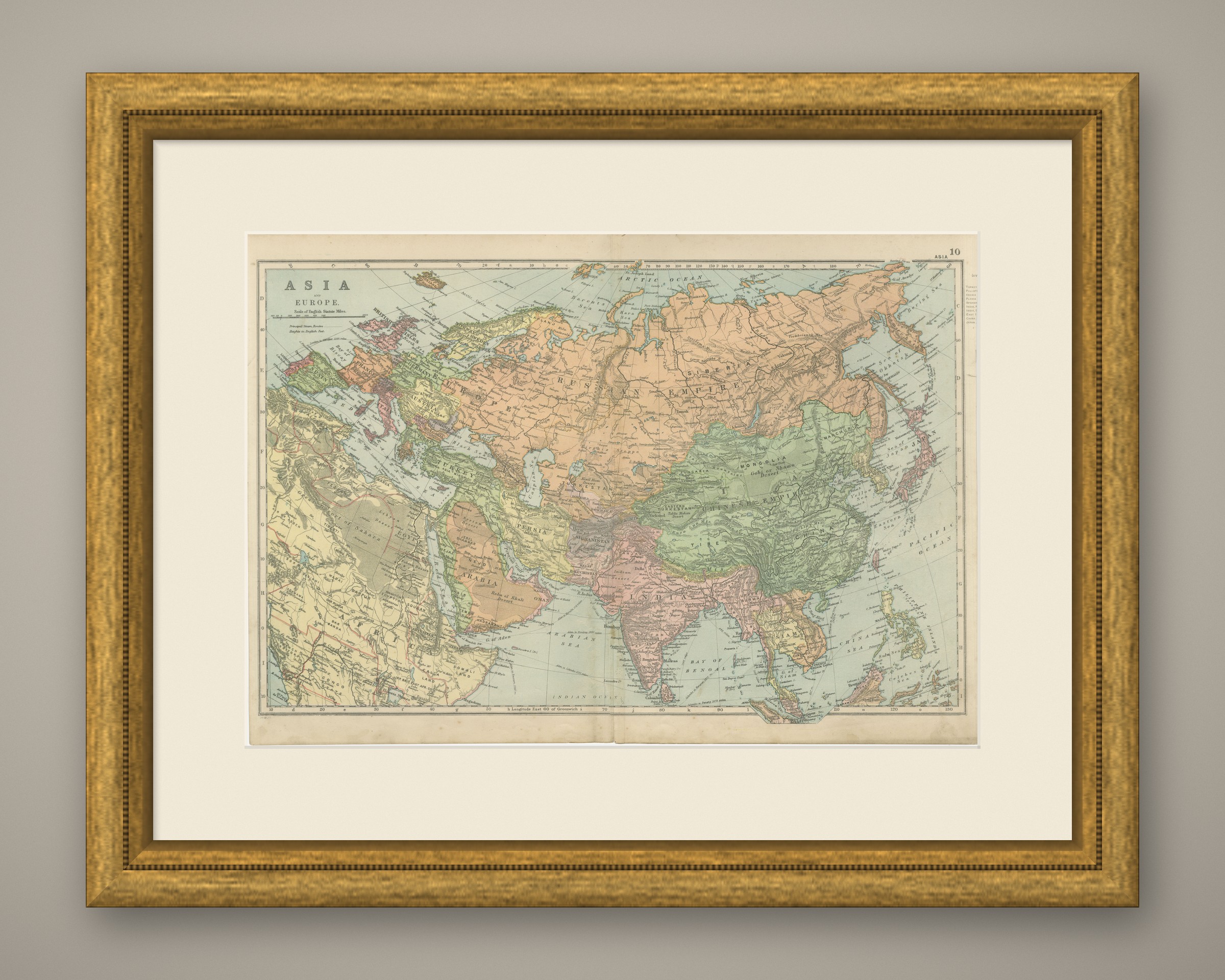
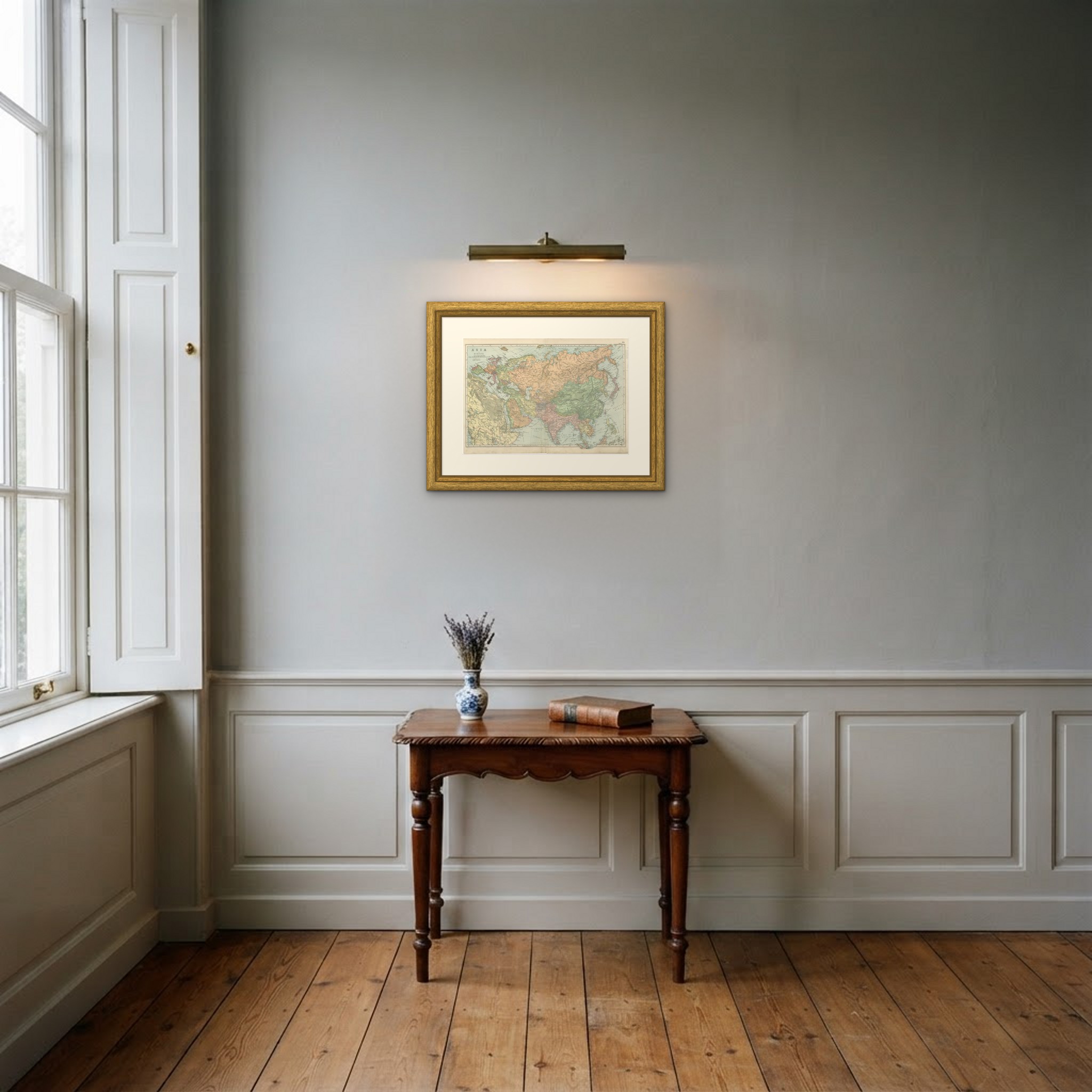
Framed simply, a sheet of this size holds a wall on its own, and the clear color printing reads well across a room. It suits a study, a library, an office or a hallway, and it is an easy gift for anyone with a connection to the place it shows. This is an original antique map, not a modern reproduction. This item is sold unframed. Any framed or interior images are shown for presentation and inspiration only, unless the listing explicitly states that the item is sold framed.