

Maps & PrintsBartele Gallery · Langweer
Home / Antique Maps / America

America

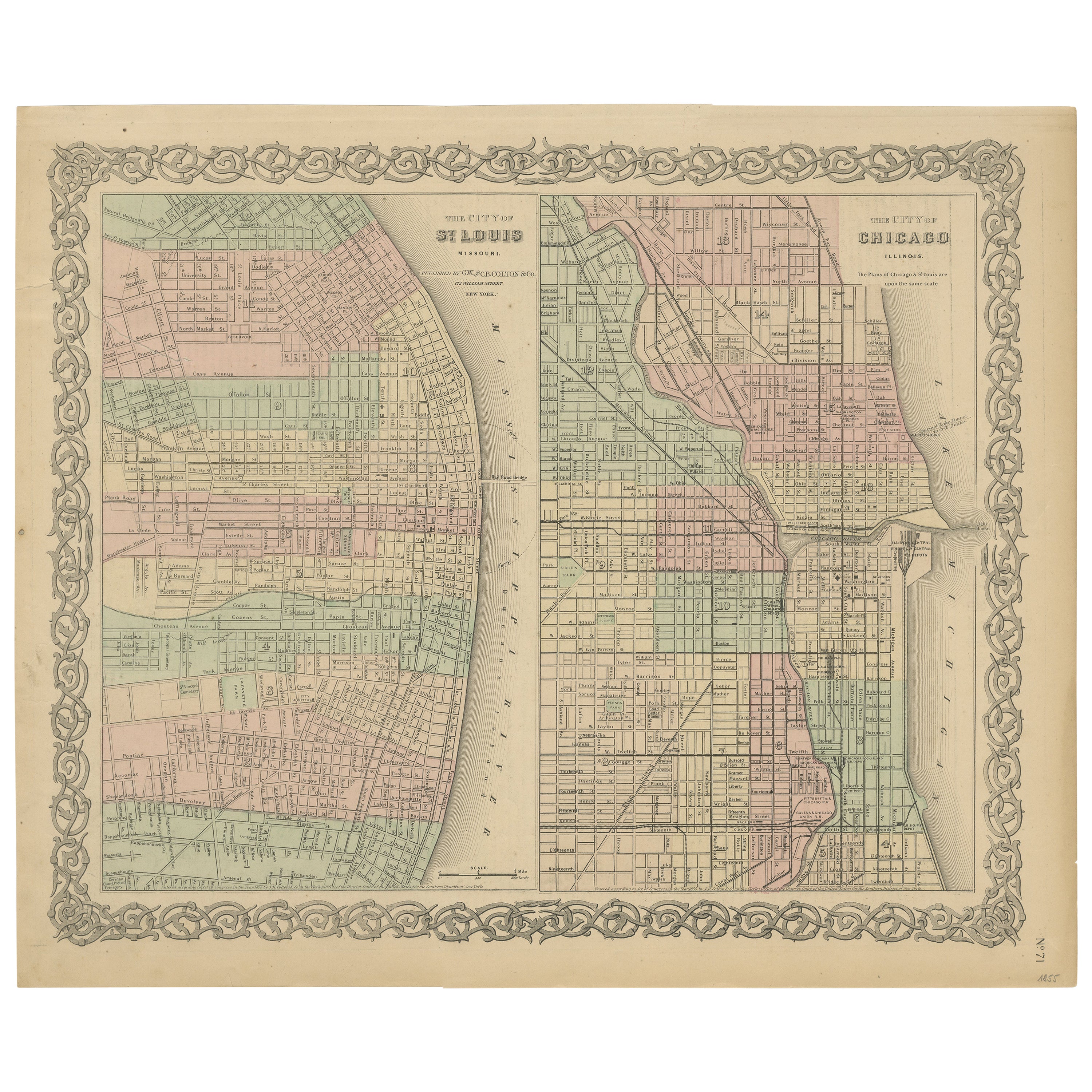
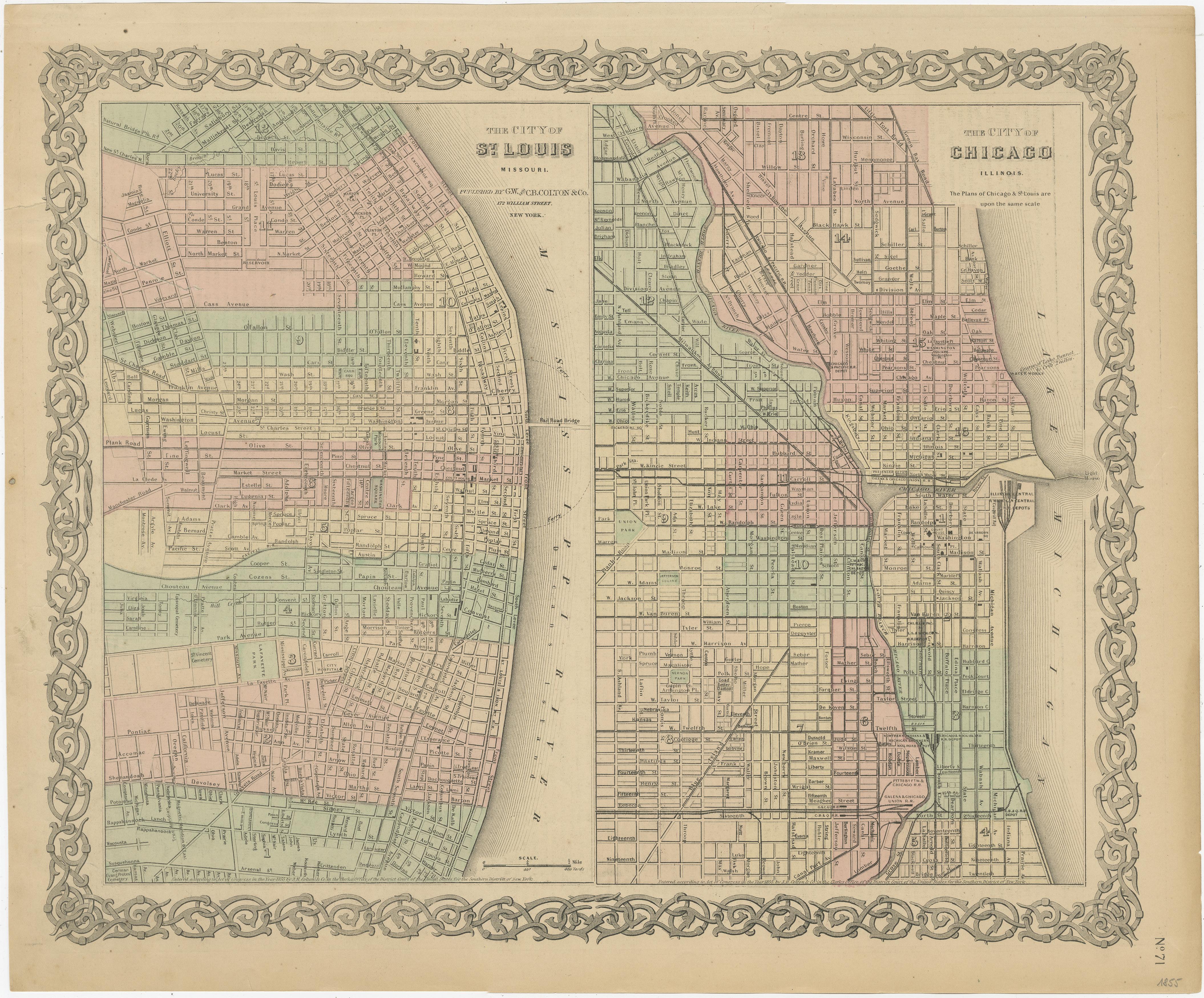
Antique Map of St. Louis and Chicago

€ 150

One of a kind: this is the sheet in the photographs. Ships from Langweer, the Netherlands.

Sheet size
36 × 43.7 cm (14.2 × 17.2 in)
Condition
Fair
Reference
BG-13191-2

Condition

Repaired. Wear consistent with age and use. Age-related toning. Minor wear. Repaired tear in left margin (top), also affecting image. English text on verso. Please study image carefully.
About this sheet

Antique map titled 'The City of St. Louis Missouri - The City of Chicago Illinois'. Dual map on single page showing St. Louis and Chicago. Finely produced lithograph that was hand colored at the time of publication. This map originates from 'Colton's General Atlas Of The World' published 1855.

More from America

Ask about this sheet

Antique Map of St. Louis and Chicago
Ref. BG-13191-2 · € 150
We reply by email, usually within one working day.