About this sheet
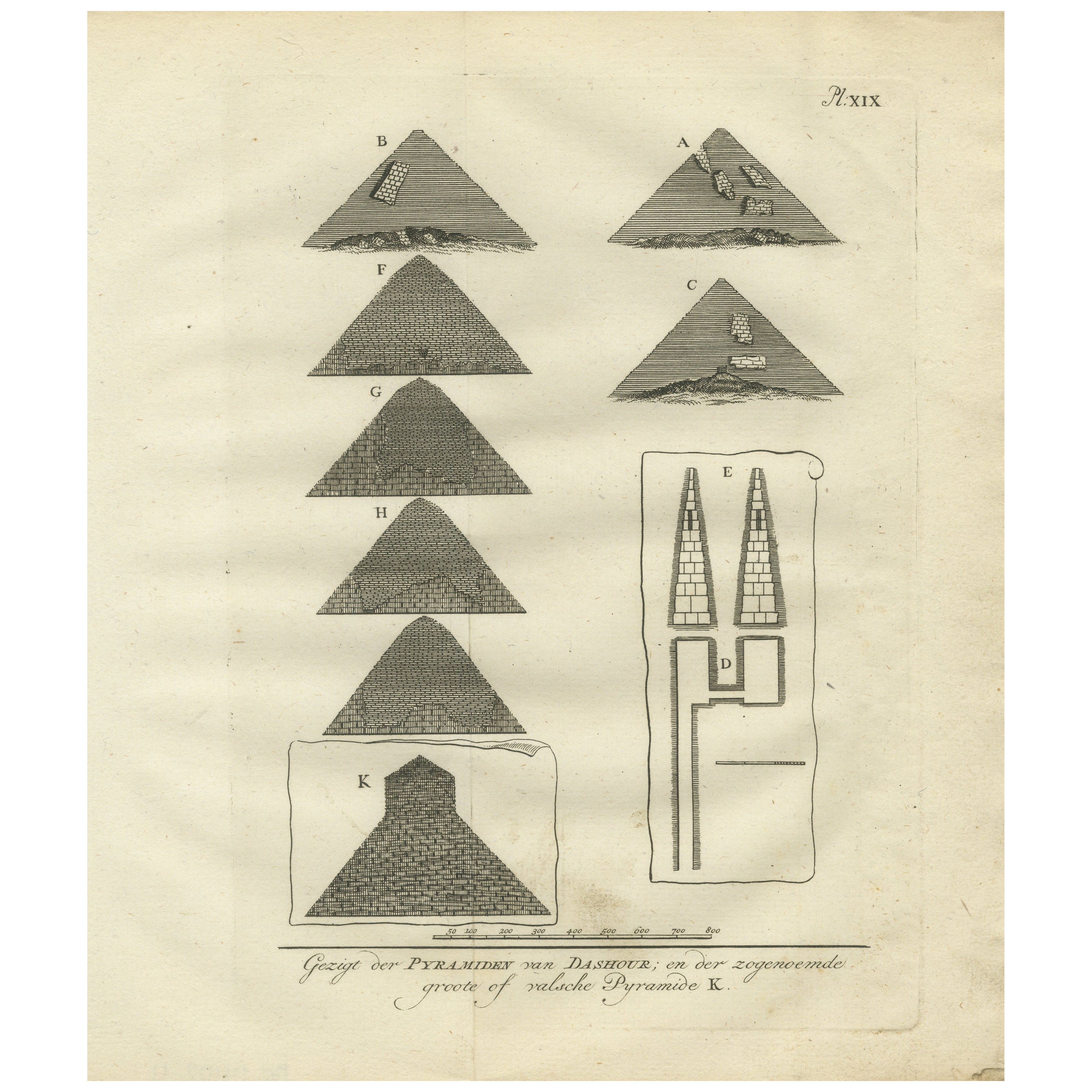
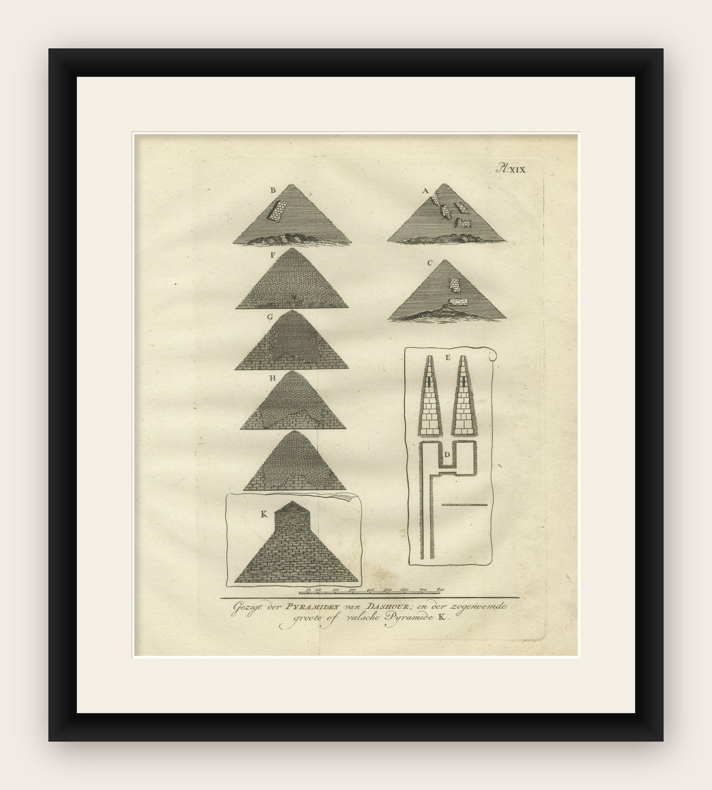
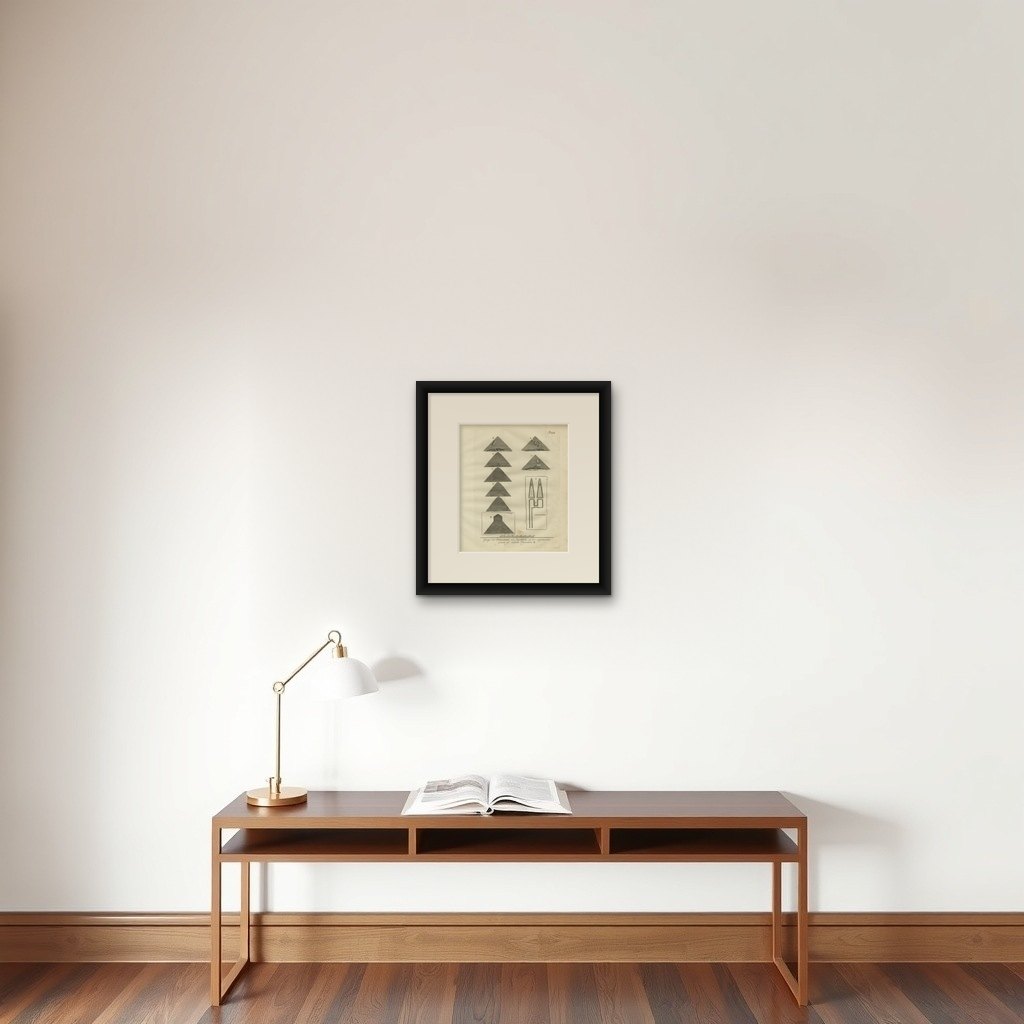
This original engraving from 1776 features a series of views and architectural diagrams of the pyramids located at Dashur, south of Cairo, including the so-called "False Pyramid" or "Bent Pyramid." The plate, numbered XIX, originates from the Dutch edition of Richard Pococke’s illustrated travel account and reflects early European efforts to study and classify the pyramids of ancient Egypt.
On the left side of the plate are nine illustrations labeled A through K, each depicting a different pyramid at Dashur. These include both well-preserved structures and partially ruined ones, observed with visible casing stones or stepped surfaces. The pyramids are drawn in profile and vary in size and preservation, giving a comparative overview of their forms. The one labeled K, shown within a boxed outline at the bottom, represents the distinctive "Bent Pyramid," named for its sudden change in angle halfway up its structure.
To the right, figure E presents two cross-sectional views of pyramidal structures, and beneath them is a diagram labeled D showing a ground plan or interior layout. These diagrams attempt to convey the internal construction and burial chambers, part of the Enlightenment-era interest in understanding Egyptian engineering.
The Dutch caption reads, "Gezigt der Pyramiden van Dashour, en der zogenoemde groote of valsche Pyramide K," which translates as "View of the pyramids of Dashur and the so-called large or false pyramid K."
This plate appears in Beschryving van het Oosten en van eenige andere landen (Description of the East and Some Other Lands), translated by Ernst Willem Cramerus and published in 1776 in Utrecht, Rotterdam, and Amsterdam. Richard Pococke’s observations remain among the earliest systematic European descriptions of these monumental sites.
Condition report:
Good condition. Light age toning and minimal foxing. Slight corner wear at lower right, not affecting the image. Clear plate mark with strong impression. Folding lines as issued. Verso blank.
Framing tips:
Frame in a black or dark walnut frame with a cream mat to emphasize the clean architectural lines and contrasting shapes. This print makes a strong addition to a series of historical or archaeological works focusing on ancient Egypt.