About this sheet
Monastery Maps of St. Paulus and St. Antonius in the Egyptian Desert – c.1776
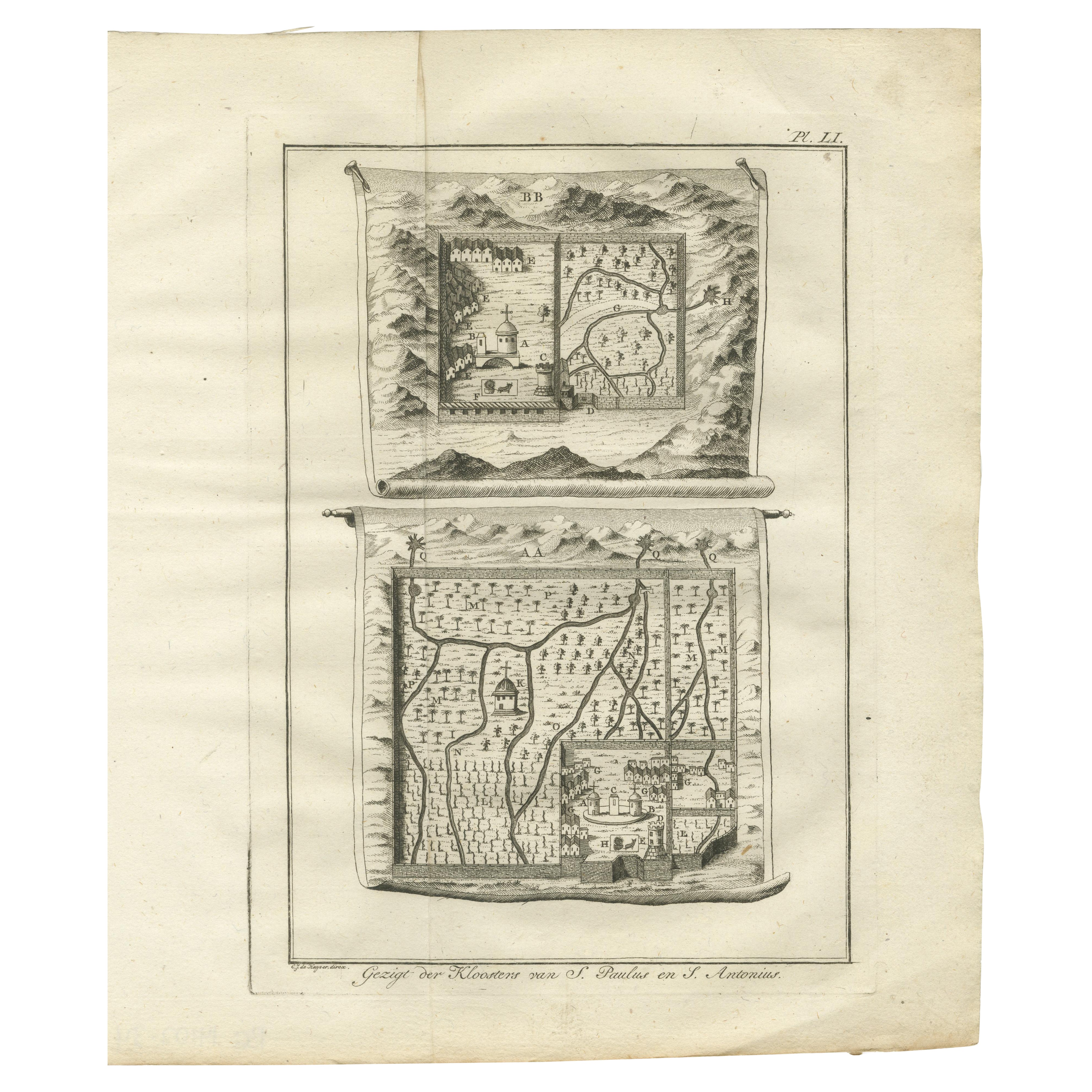
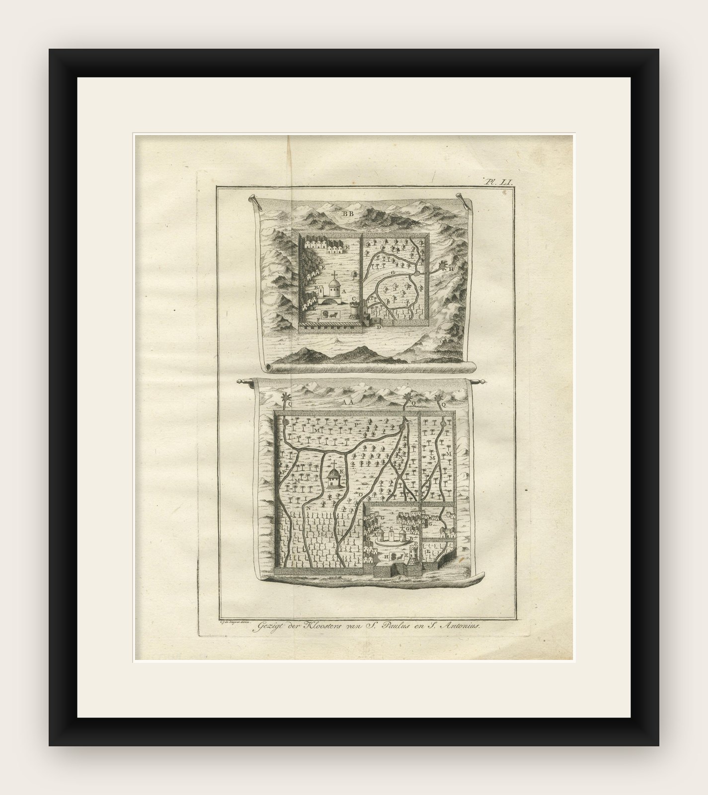
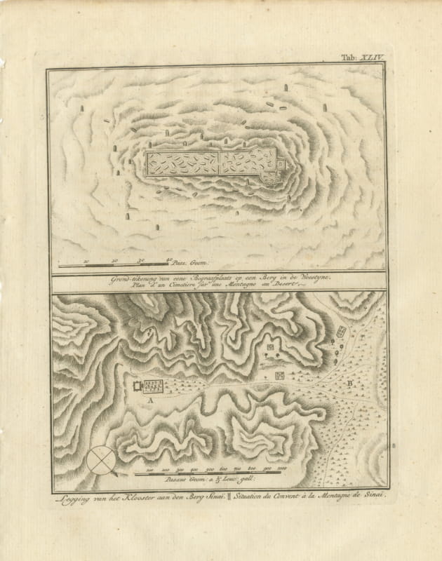
This evocative 18th-century engraving depicts stylized maps of two important early Christian monastic sites in Egypt: the Monastery of St. Paulus (top) and the Monastery of St. Antonius (bottom). These are among the oldest active Christian monasteries in the world, nestled in the Eastern Desert near the Red Sea coast.
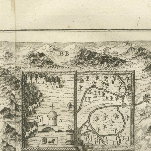
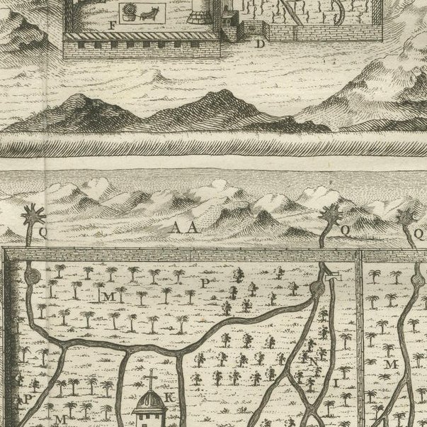
The image features two separate map panels rendered as unfurled scrolls. Each "scroll" combines topographic representation with a symbolic layout of the monastery grounds and surrounding landscape. The maps show monastic complexes enclosed by walls, chapels, gardens, and paths leading to isolated hermitages. Prominent churches, palm groves, and desert trails are included, along with visual references to the mountainous terrain surrounding both monasteries. Though not geographically accurate in the modern sense, these schematic views provide an invaluable historical window into 18th-century European perceptions of Coptic Christian heritage.
The Dutch caption at the bottom reads: Gezigt der Kloosters van St. Paulus en St. Antonius, or “View of the Monasteries of St. Paul and St. Anthony.” These monasteries were revered pilgrimage sites and spiritual retreats for centuries, dating back to the 3rd and 4th centuries AD, and this image reflects the continued Western fascination with Christian antiquities in Egypt during the Enlightenment.
The engraving is attributed to the Dutch engraver C. Bagerts and likely originates from an illustrated travel account published in the late 18th century, possibly based on the explorations of Frederik Ludvig Norden or other European visitors to the Nile Valley and Egyptian deserts.
Good impression on laid paper. Mild age-toning and a vertical centerfold crease from binding. Minor edge wear and a faint spot at the upper margin. Full plate border visible.
Framing tips:
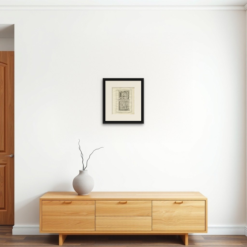
A dark wood frame with a warm cream or light parchment-colored mount will enhance the aged paper tone and emphasize the scroll motifs. Ideal as part of a gallery wall on early Christianity or historical cartography.