Large Antique Plan of Cairo, Bulaq, Old Cairo and Giza, 1776
€ 260
Original antique · The actual sheet photographed · Certificate of authenticity on request · Sold unframed · Worldwide shipping from € 15 (rates)
Date
1776
Mapmaker / artist
Carsten Niebuhr; engraved by Th. Koning
Publisher
S. J. Baalde, Amsterdam, and J. van Schoonhoven and Comp., Utrecht
Technique
Copper engraving
Coloring
Uncolored
Sheet size
32 × 53 cm (12.6 × 20.9 in)
Condition
Good
Reference
BG-14407-1-12
What the condition grades mean
Excellent
Bright and clean, with no faults worth mentioning.
Very good
Only light signs of age, such as faint toning.
Good
Normal signs of age for a sheet of this period: toning, some foxing, small marks or neat old repairs.
Fair
Clear faults such as staining, tears or repairs, priced to match.
Every fault we see is written in the condition note, and the whole sheet is shown uncropped in the photos.
Condition
A loss at the lower right corner and a torn section of the right margin, outside the printed border. Light uneven toning, browner toward the edges. A few small foxing spots in the margin. Folding plate, original folds as issued.
About this sheet
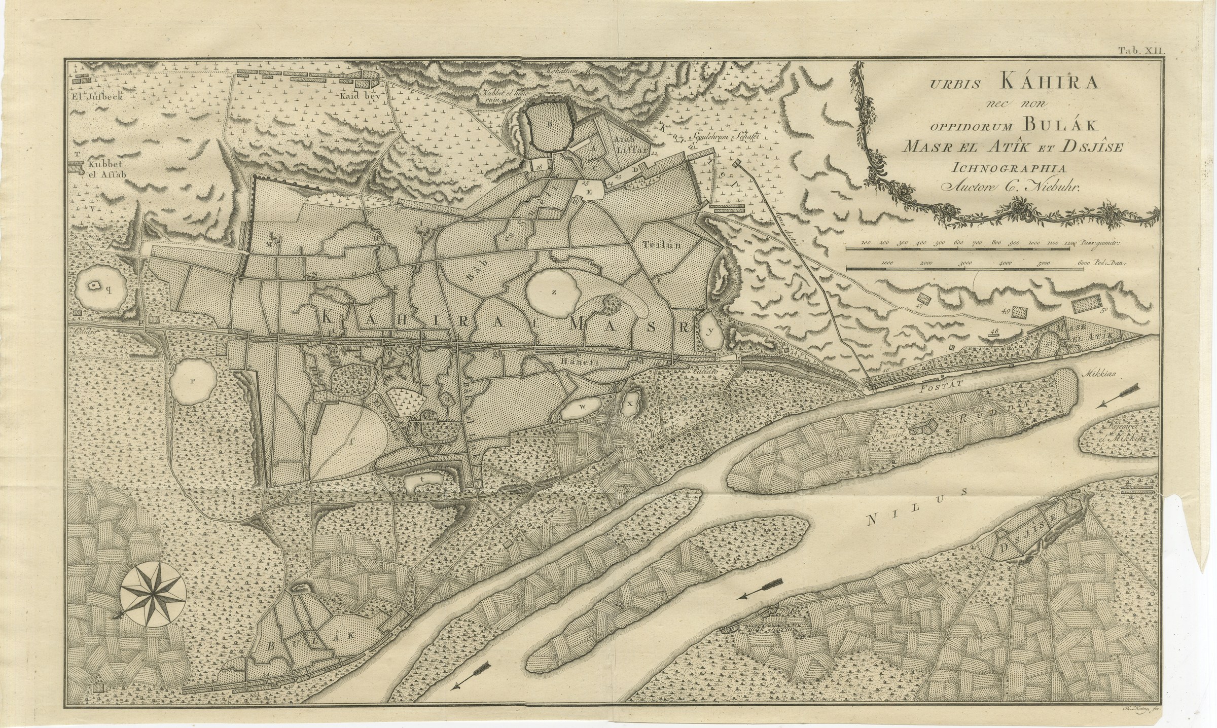
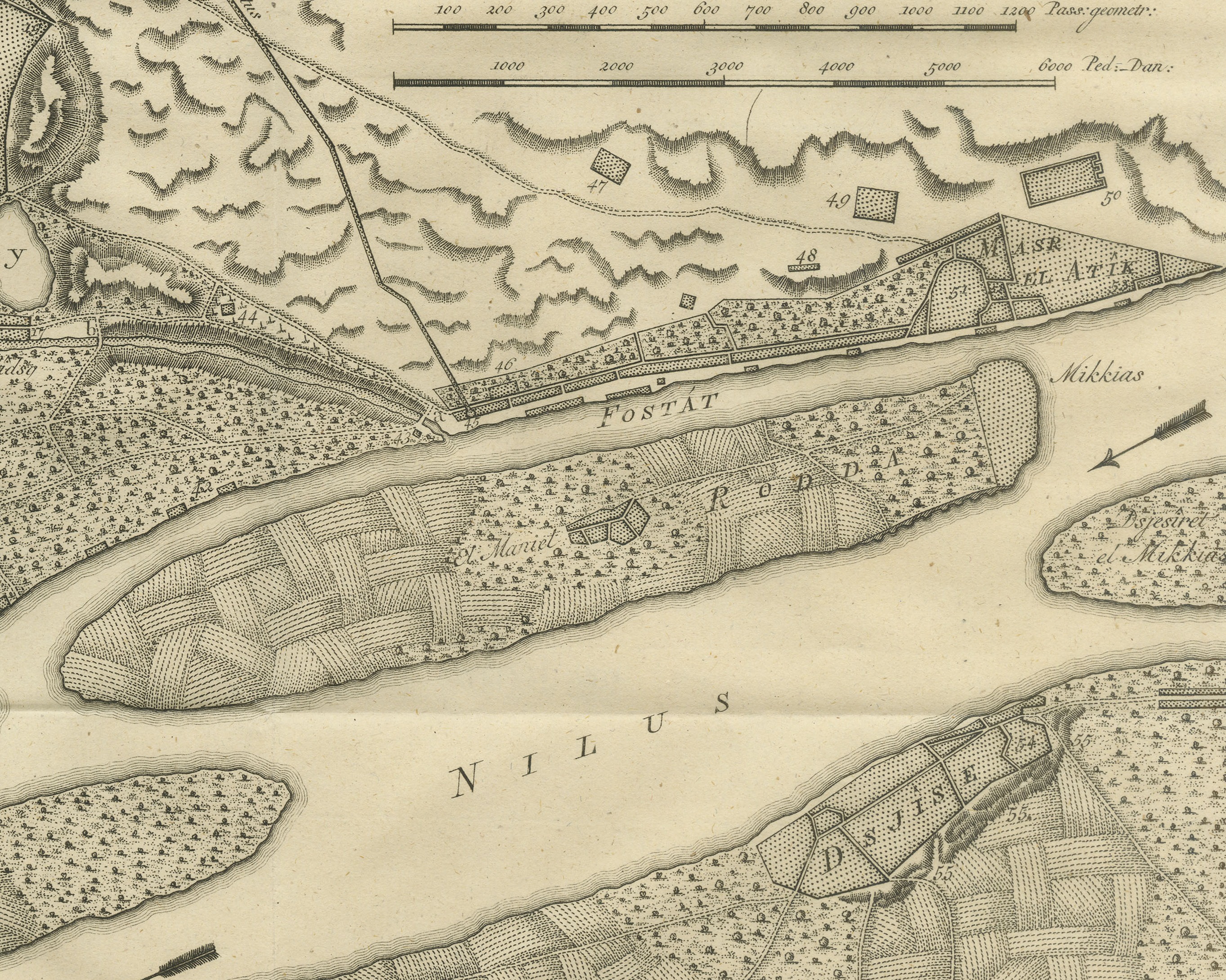
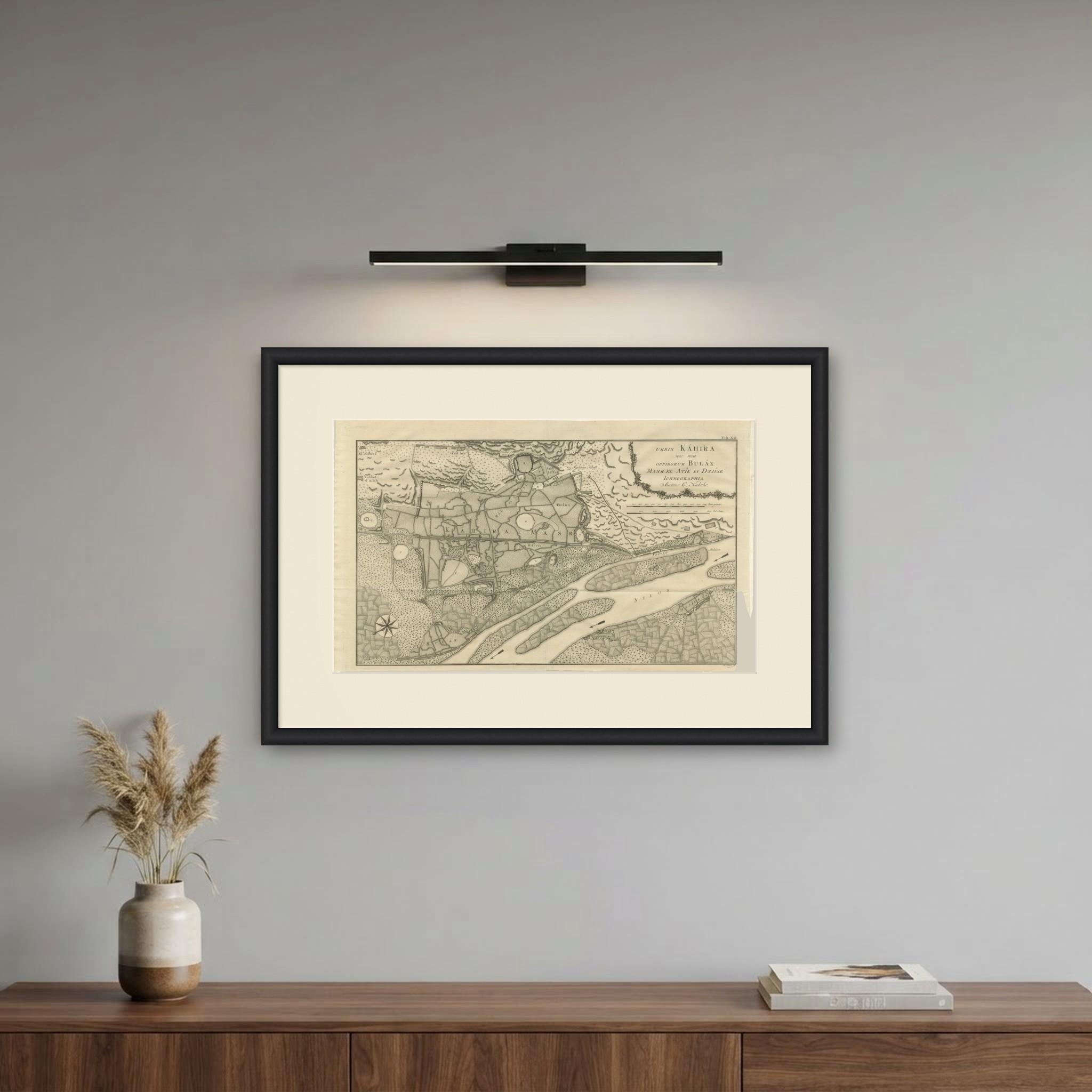
This is an original antique copper engraved plan from 1776 of Cairo and its neighboring towns. The title is engraved at the upper right inside a garland of flowers: URBIS KÁHIRA nec non OPPIDORUM BULÁK MASR EL ATÎK ET DSJÎSE ICHNOGRAPHIA Auctore C. Niebuhr., meaning ground plan of the city of Cairo and also of the towns of Bulak, Masr el Atik (Old Cairo) and Giza, by C. Niebuhr.
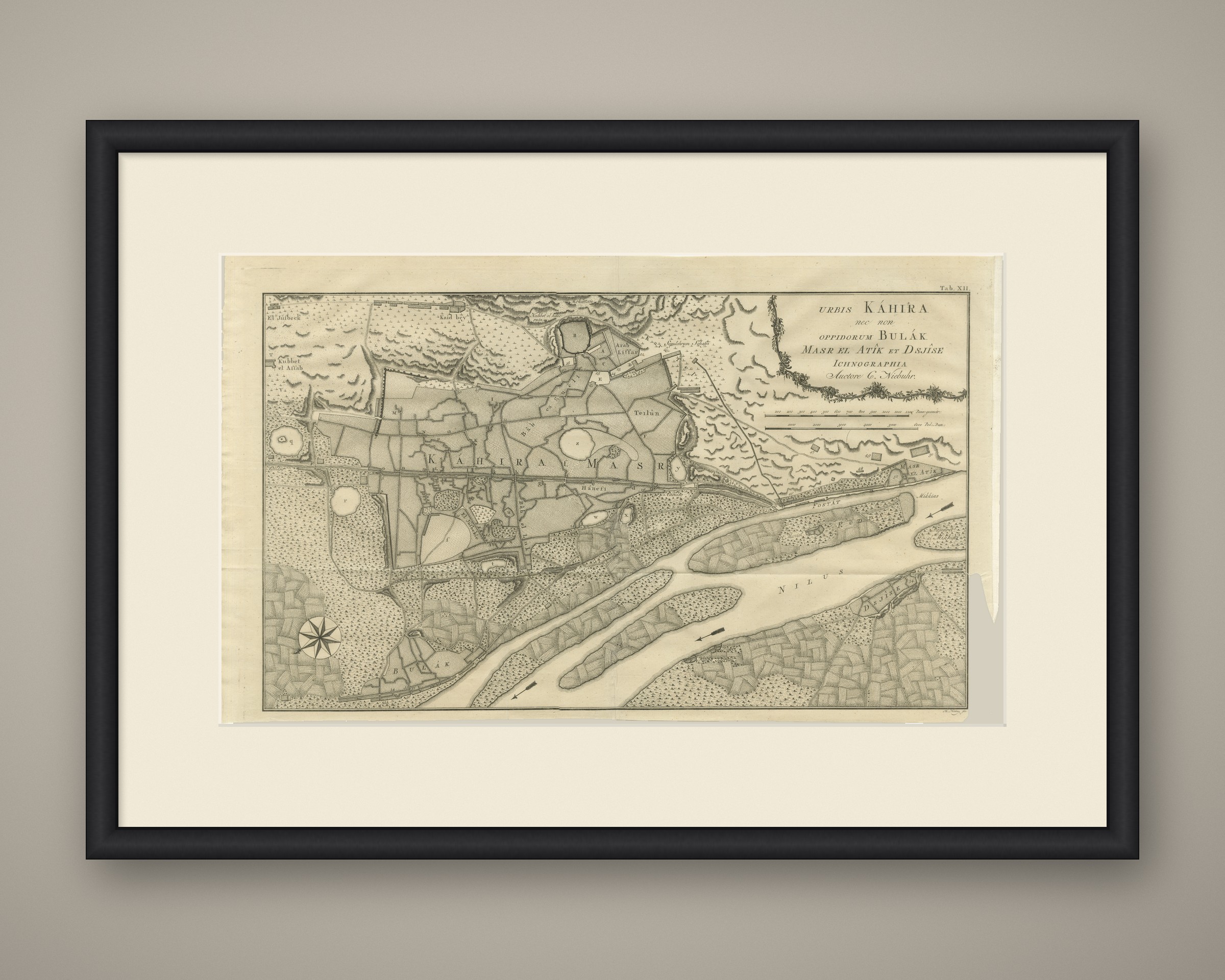
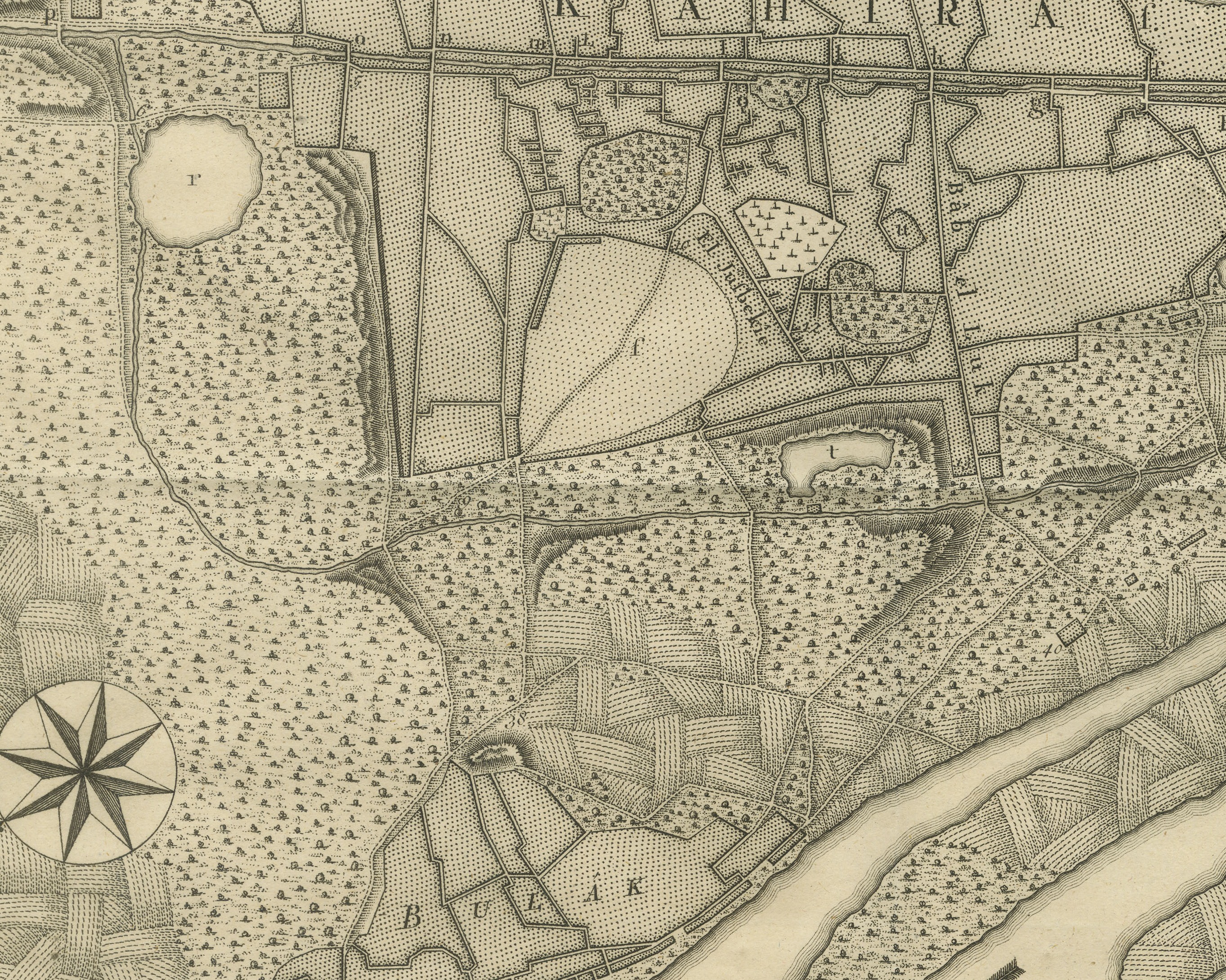
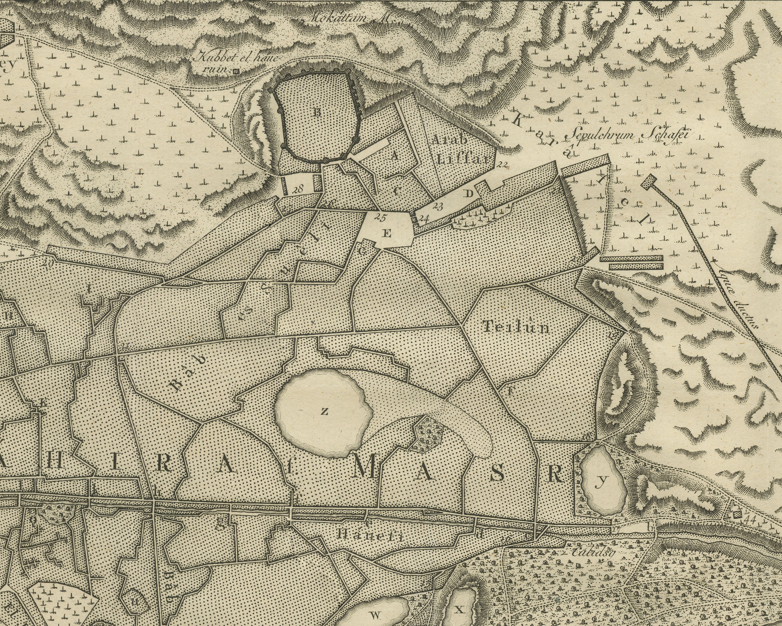
The city fills the upper left half, lettered across its center KÁHIRA s. MASR, a close network of streets and quarters with ponds and open spaces marked by letters, a long street running through it, and the walled citadel on high ground at the top. Beyond the walls lie gardens, cemeteries and hills, with names such as Sepulchrum Schafei and Kaid bey. The Nile runs across the lower right with arrows showing its flow and long islands in its course. BULÁK lies on the bank at the lower left, FOSTÁT and MASR EL ATÎK along the shore at the right, the island of RODDA with Mikkias at its tip in midstream, and Giza on the far bank at the lower right. A compass rose sits at the lower left.
Two scales below the title are lettered Pass: geometr: and Ped: Dan:. The credit Th. Koning, fec. is lettered under the lower right corner, and the plate number Tab. XII. is engraved at the upper right.
The plate comes from the first volume of Voyage en Arabie & en d'autres Pays circonvoisins, the French translation of Carsten Niebuhr's account, its title page reading TOME PREMIER. Traduit de l'Allemand. A AMSTERDAM, chez S. J. BAALDE. A UTRECHT, chez J. VAN SCHOONHOVEN & COMP. MDCCLXXVI. Carsten Niebuhr (1733 to 1815) was a German born surveyor in Danish service and the only member of the Danish expedition to Arabia (1761 to 1767), sent by King Frederick V of Denmark, to return alive. The account was first published in German at Copenhagen; this is the French translation printed in Amsterdam and Utrecht.
A loss at the lower right corner and a torn section of the right margin, outside the printed border. Light uneven toning, browner toward the edges. A few small foxing spots in the margin. Folding plate, original folds as issued.
This is an original antique print, not a modern reproduction. This item is sold unframed. Any framed or interior images are shown for presentation and inspiration only, unless the listing explicitly states that the item is sold framed.