About this sheet
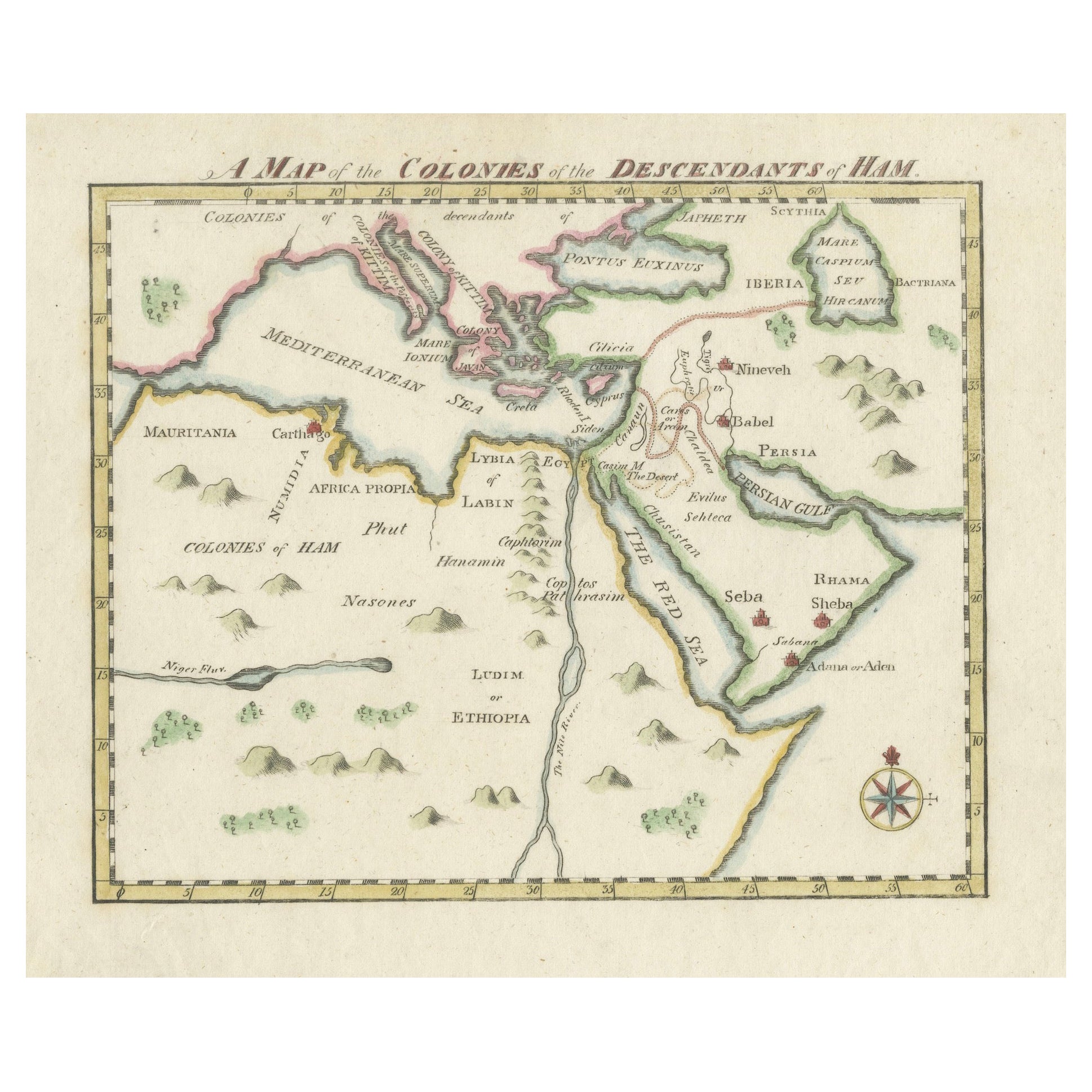
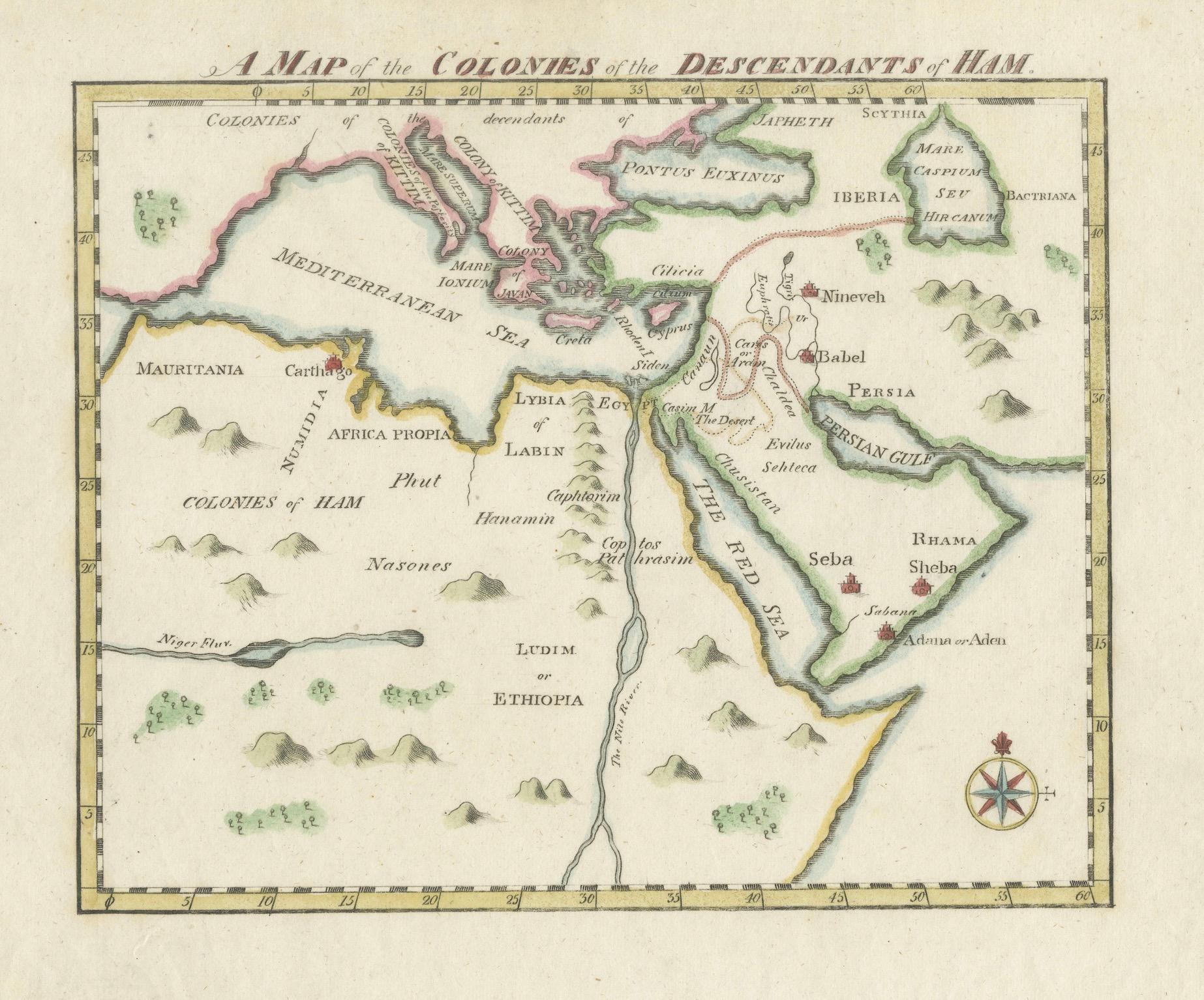
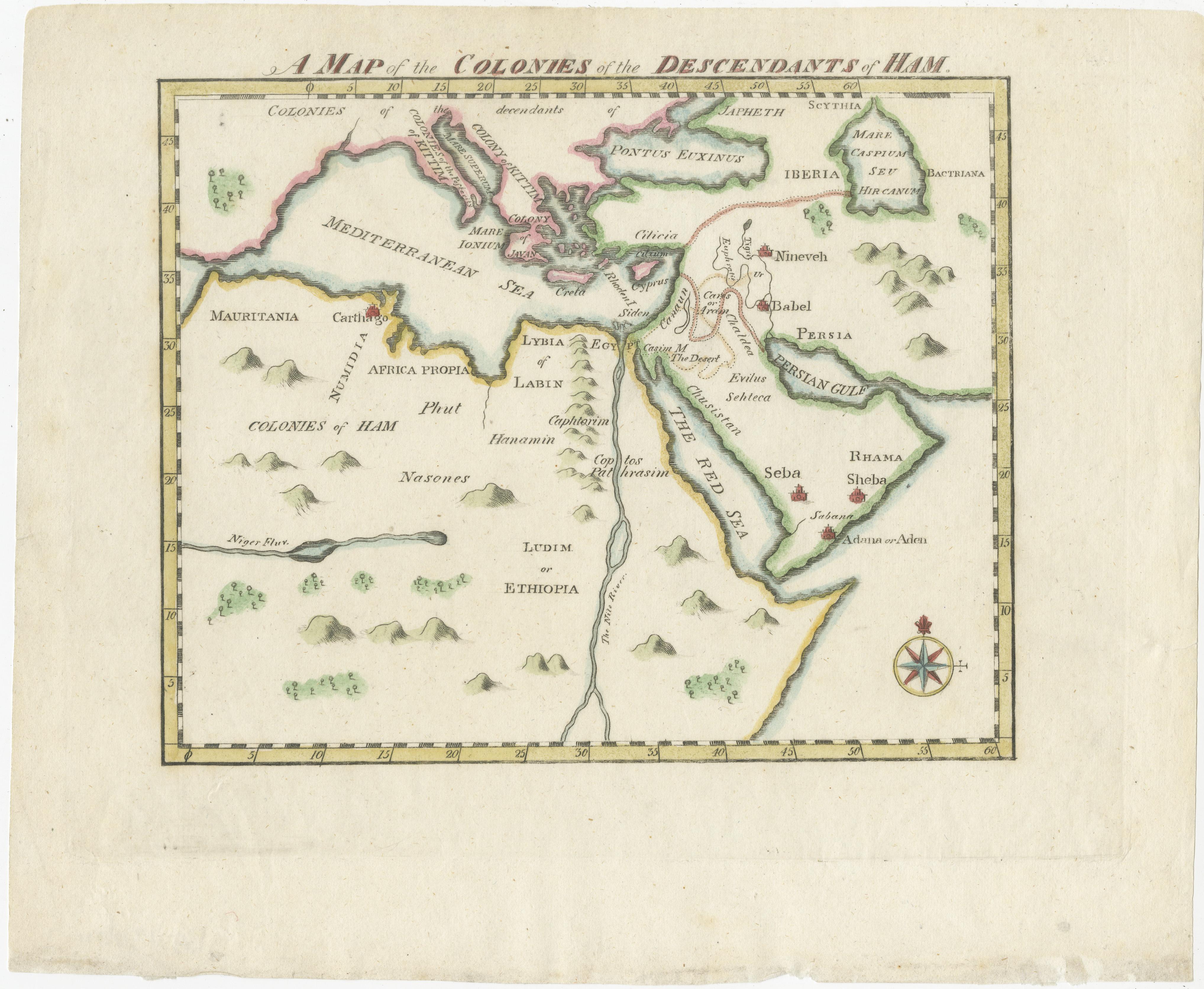
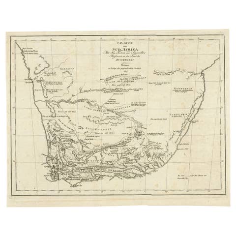
This map, titled "A Map of the Colonies of the Descendants of Ham," dates to around 1790. It illustrates regions in Africa, the Middle East, and parts of Europe that were traditionally believed to be settled by the descendants of Ham, one of Noah's sons, according to the Book of Genesis and to biblical tradition.
The map's style, with speculative geographic features, is reminiscent of the work of the polymath Athanasius Kircher. It was created for an English biblical history and likely drawn by Lodge. This map reflects early cartographic attempts to merge religious stories with geographic understanding.
### Key Features and Analysis:
1. Regions Depicted:
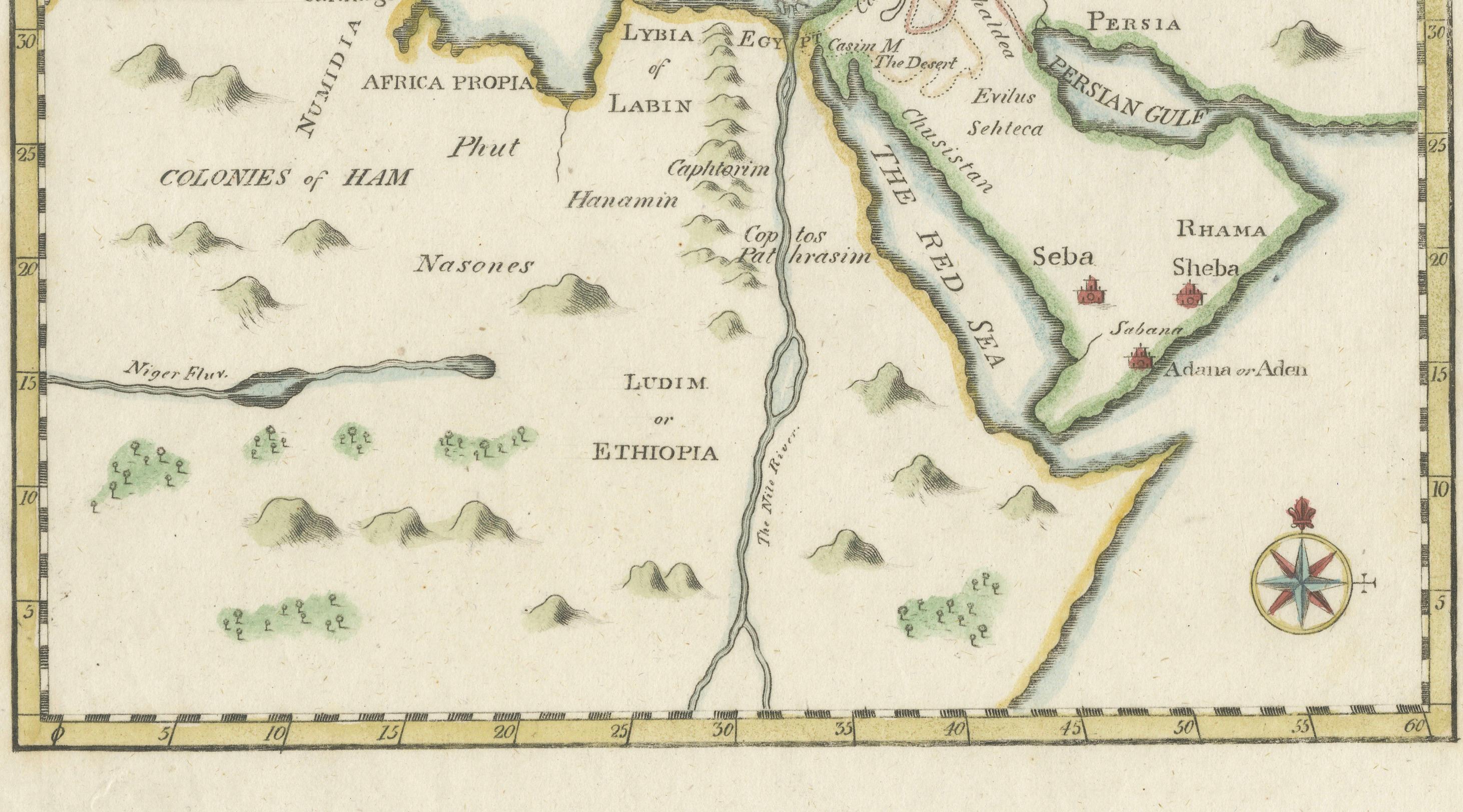
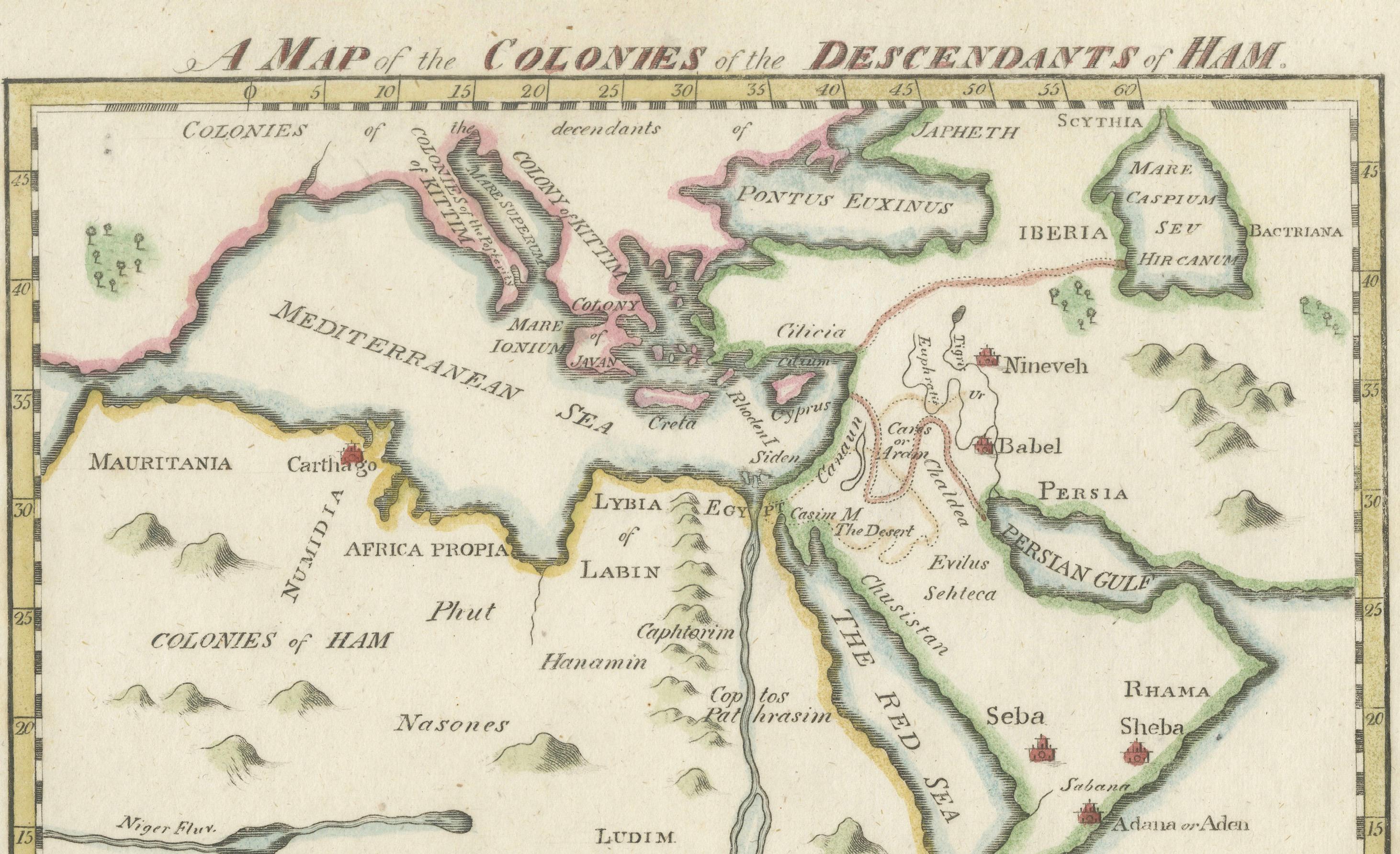
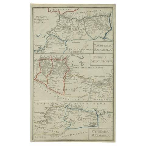
- North Africa: The map shows the regions of Mauritania, Carthage, Numidia, and "Africa Propria." These areas align with modern-day North Africa, including Libya, Tunisia, and parts of Algeria.
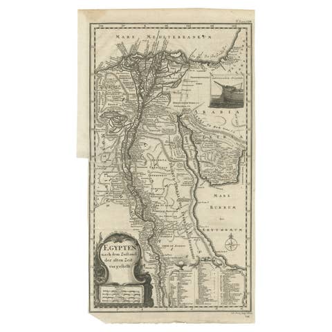
- Egypt and Ethiopia: The map highlights Egypt and regions labeled "Ludim or Ethiopia," which corresponds to ancient Cush. The Red Sea and the Nile River are prominently depicted, emphasizing their significance in ancient history and biblical narratives.
- Persia and Mesopotamia: Mesopotamian cities like Nineveh and Babel (Babylon) are marked, along with Persia, underlining their importance in biblical accounts.
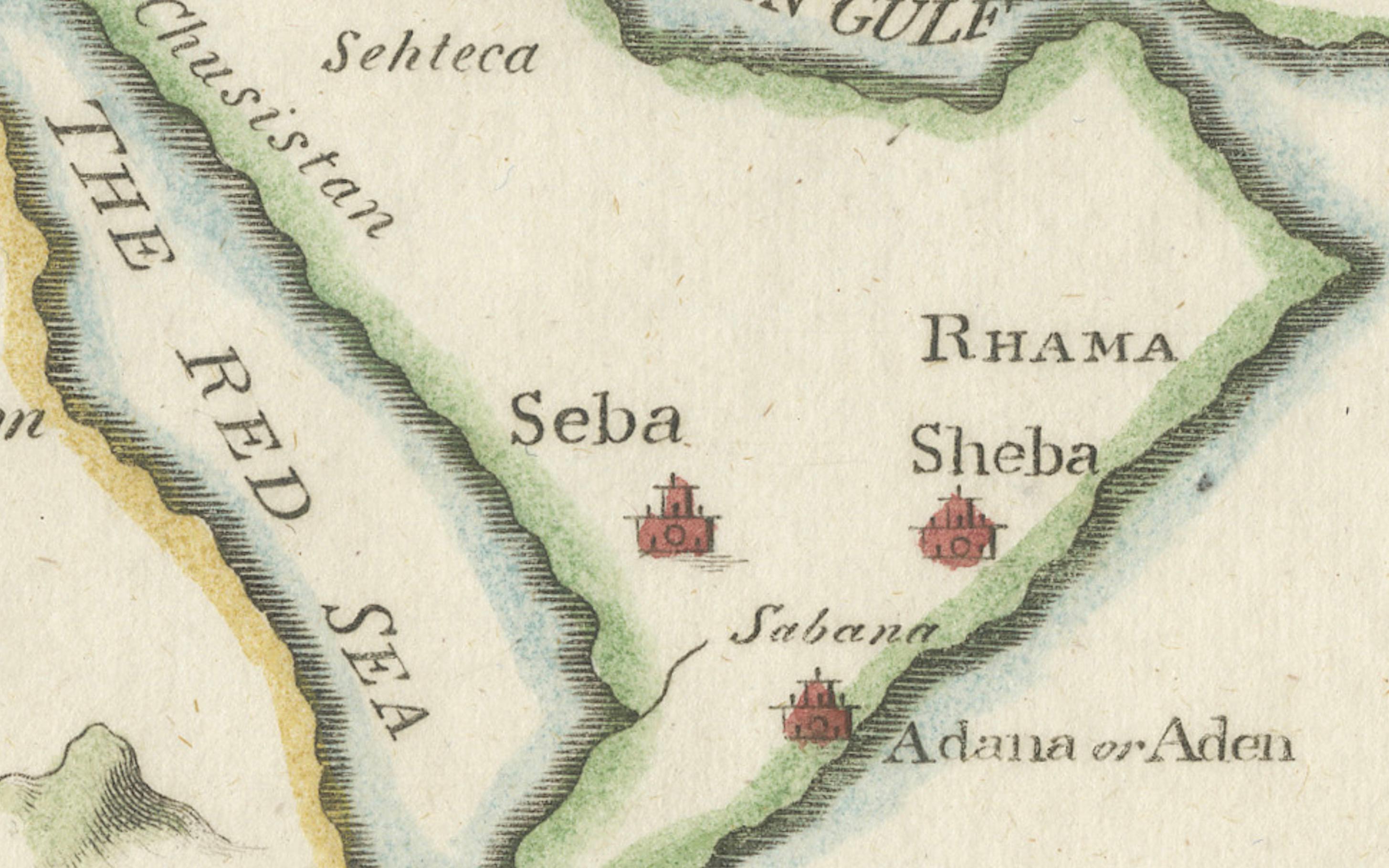
- Arabian Peninsula: The Arabian Peninsula is labeled with places such as Sheba and Seba, areas famously connected to the Queen of Sheba in biblical texts.
- Southern Europe: Parts of Southern Europe, such as Iberia (Spain) and regions around the Mediterranean, are shown as the extent of these "colonies."
2. Colonies of Ham:
According to biblical tradition, the descendants of Ham are thought to have settled in Africa and parts of the Middle East, and this map reflects the traditional geographic distribution based on religious interpretations. Ham's sons, such as Cush, Mizraim (Egypt), and Phut, are represented by the areas where their descendants were believed to have settled.
3. Map Aesthetic:
The map uses a simplistic style with soft pastel colors to differentiate regions. The place names are written in a mix of Latin and English, indicative of the European cartographic traditions of the period. It features a decorative compass rose in the bottom right, which adds a classic touch to the historical design.
4. Historical Context:
This map is part of a tradition in which European cartographers combined biblical narratives with contemporary geographic knowledge. These maps were not intended to be accurate representations of geography but rather visualizations of religious or historical interpretations. They were popular in the 17th and 18th centuries, especially among audiences interested in biblical history.
### Significance:
This map is an intriguing blend of geography and theology, illustrating how Europeans of the early modern period sought to reconcile biblical stories with the geographic knowledge available to them. The mapping of Ham's descendants reflects both the biblical narrative of the dispersal of Noah's family and the importance of these stories to the worldview of the time.
This map serves as an artifact of a time when biblical narratives heavily influenced geographic understanding, offering a fascinating glimpse into the intersection of faith and cartography in early modern Europe.