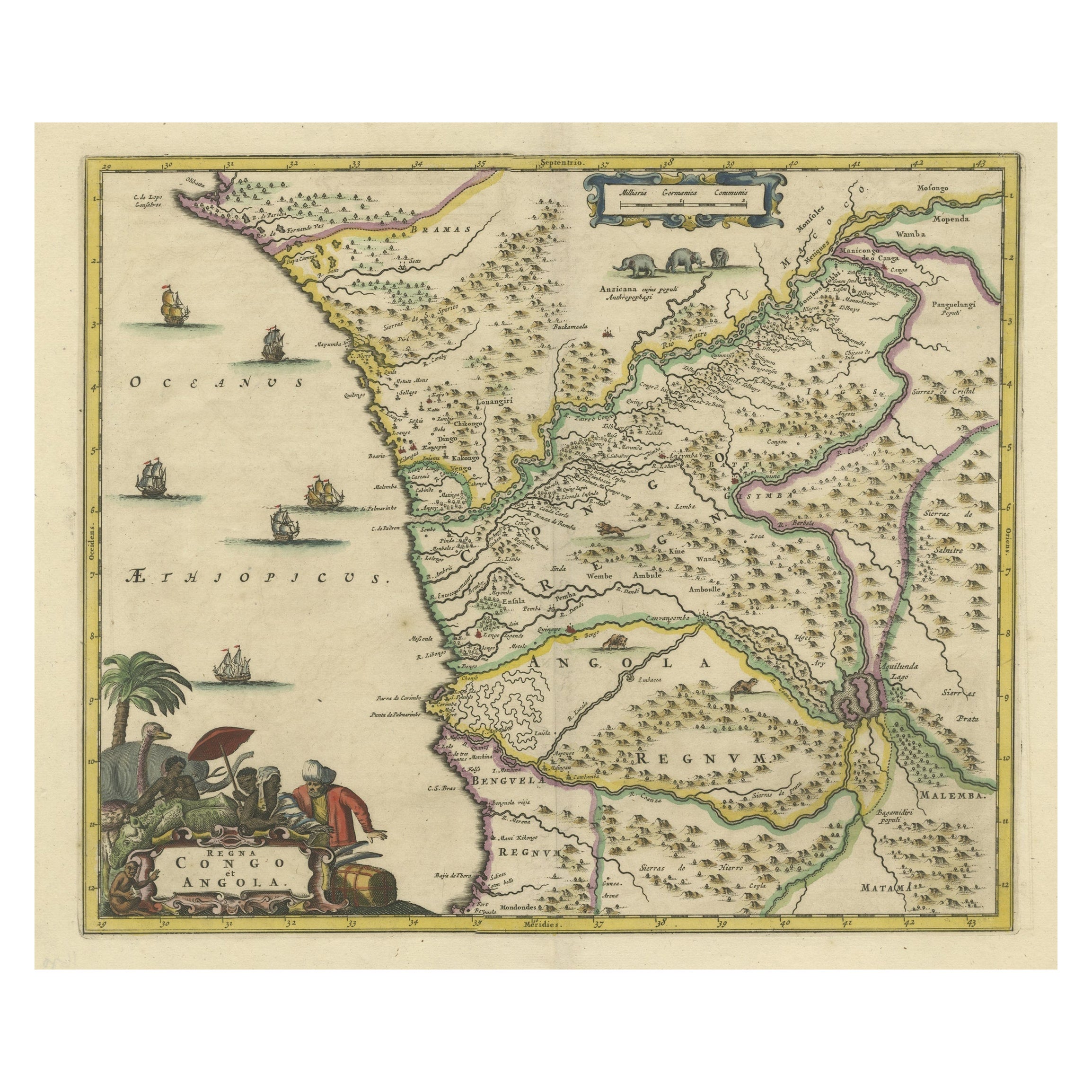
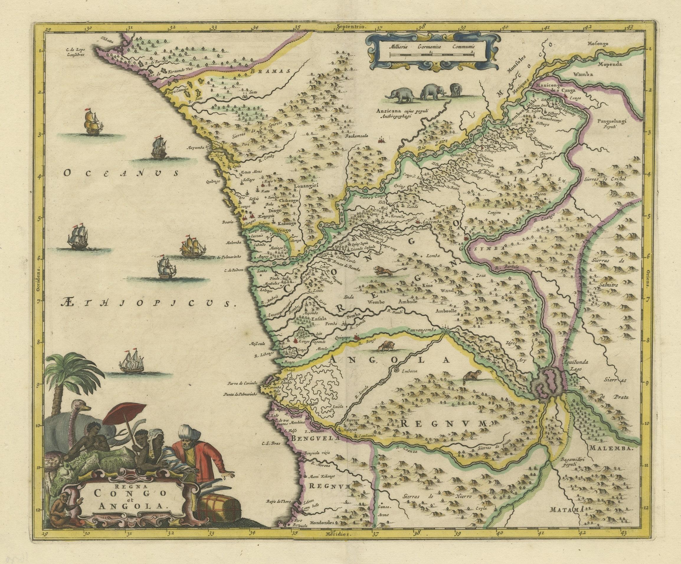
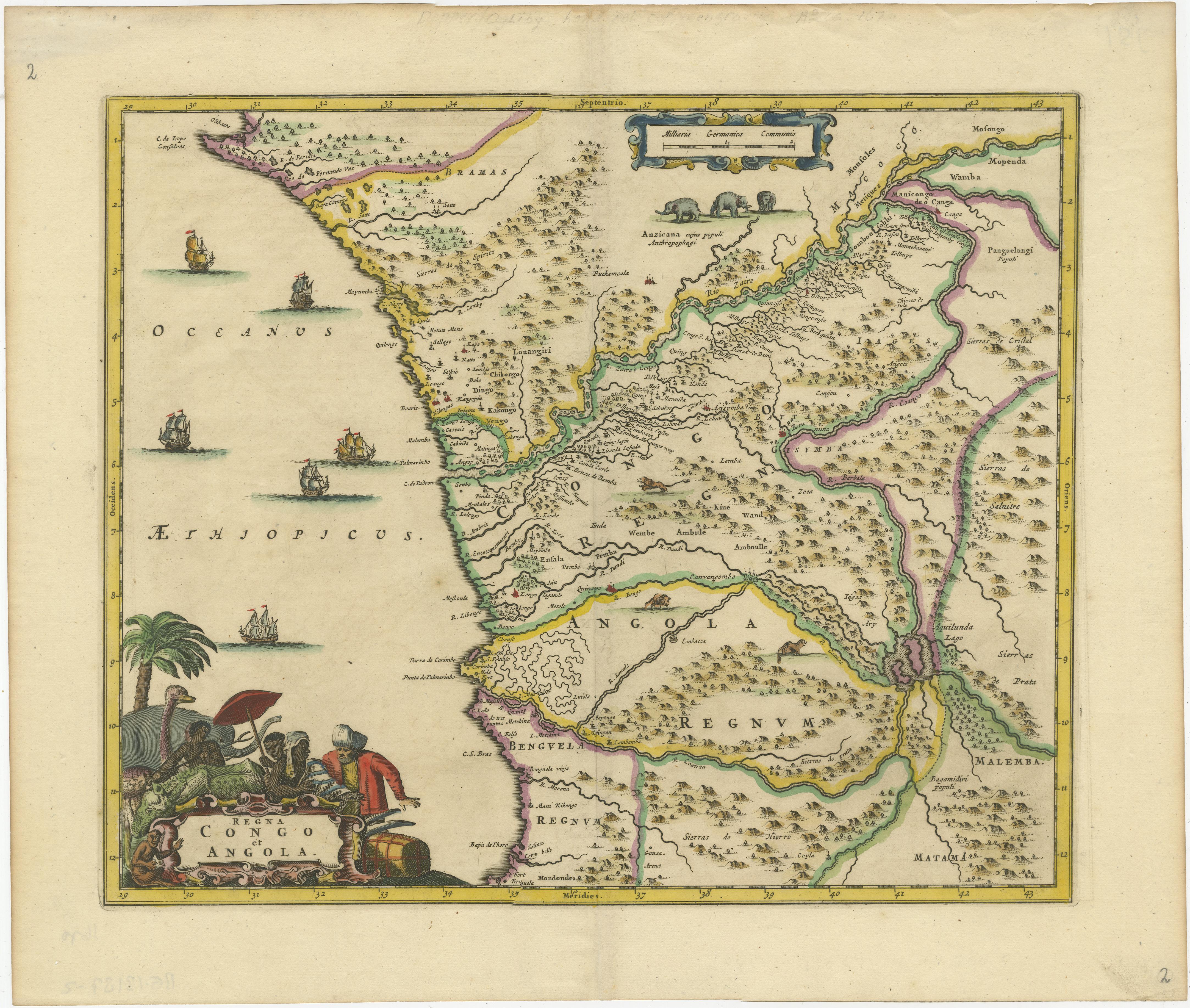
Antique Map of West Africa, focused on the Congo and Angola
€ 850
One of a kind: this is the sheet in the photographs. Ships from Langweer, the Netherlands.
Sheet size
35.2 × 41.6 cm (13.9 × 16.4 in)
Condition
Good
Reference
BG-13187-2
Condition
Wear consistent with age and use. General age-related toning, minor wear. Original folding line, blank verso. Please study image carefully.
About this sheet
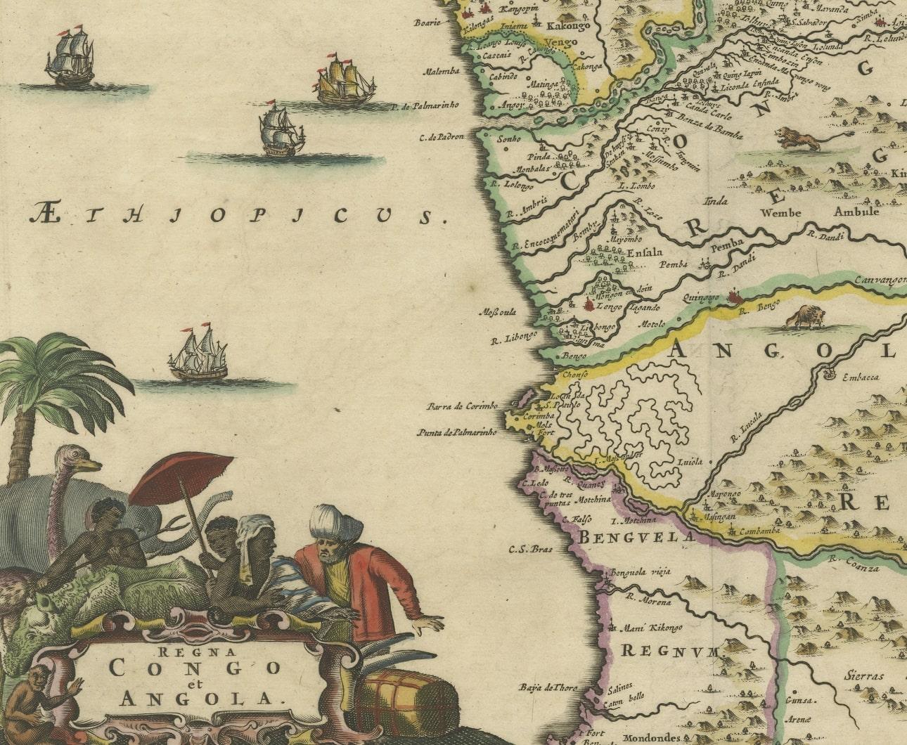
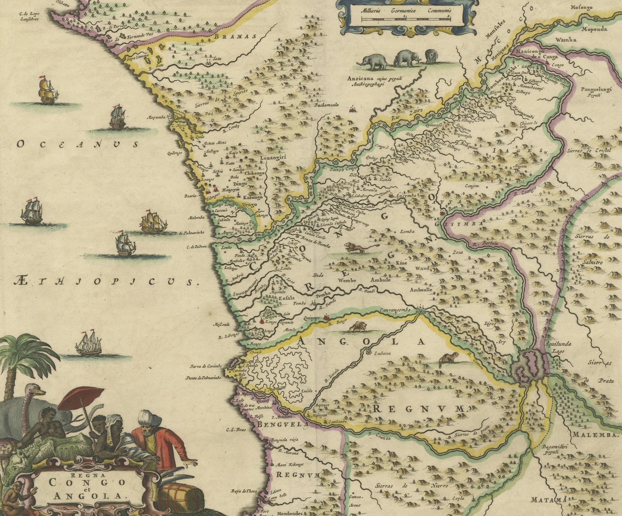
Original antique map titled 'Regna Congo et Angola'. Decorative 17th Century English map of a portion of West Africa, focused on the Congo and Angola. The map is centered on the Zaire River (Congo) and Coanza River, which show a common source of the Aquilunda River. The map is drawn from a similar map published by Blaeu in Amsterdam.
Published by John Ogilby, circa 1670. John Ogilby (1600-1676) was an English geographer and publisher, one of the most prominent of the seventeenth century. Little is known of his early life but by 1619 he was apprenticed to John Draper, a dancing-master in London. He worked as a dancing-master, courtier, and theater owner form 1620-1641. From 1649 he worked as a poet, translator, and publisher of classical texts. It is only in the last decade of his life that he entered into geography.