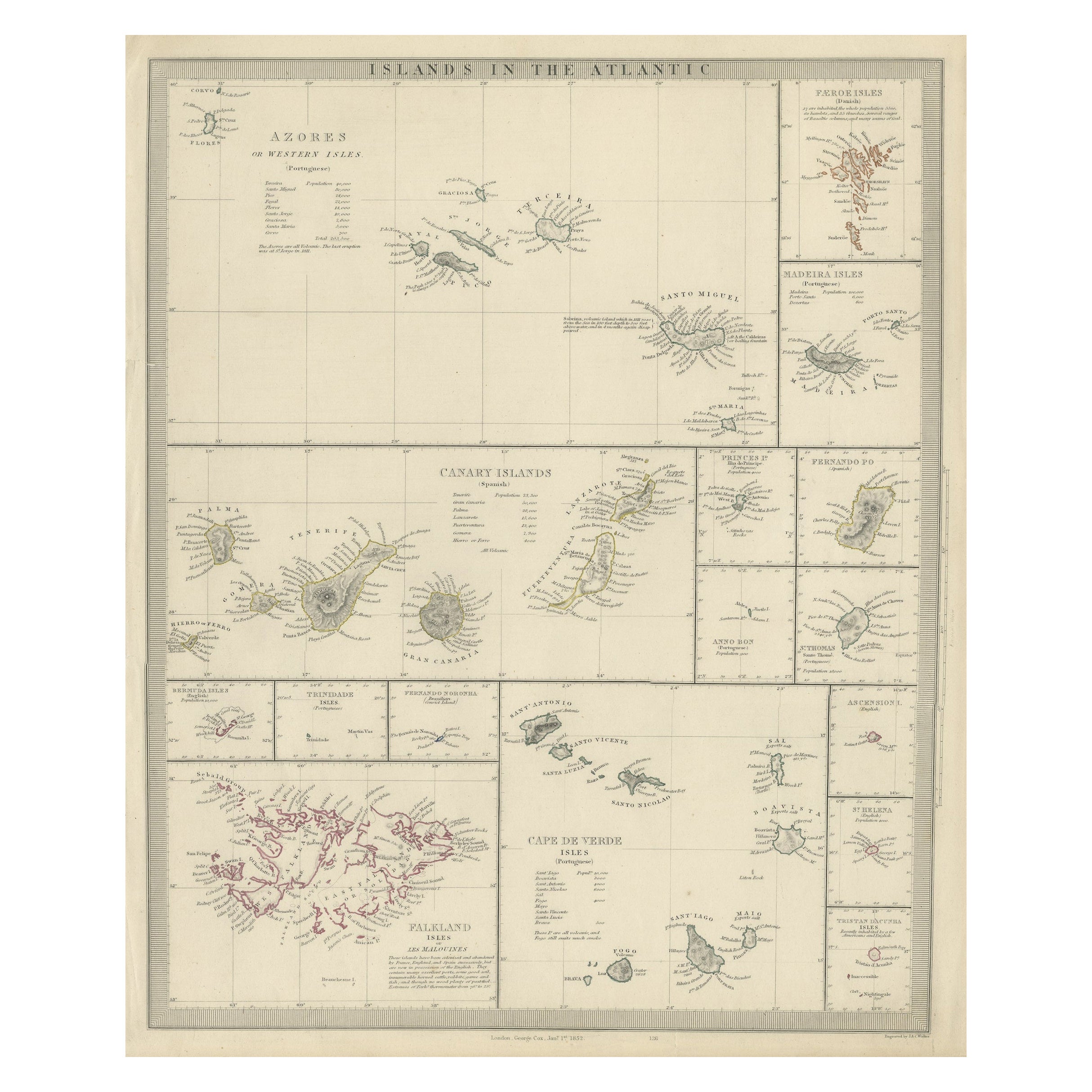
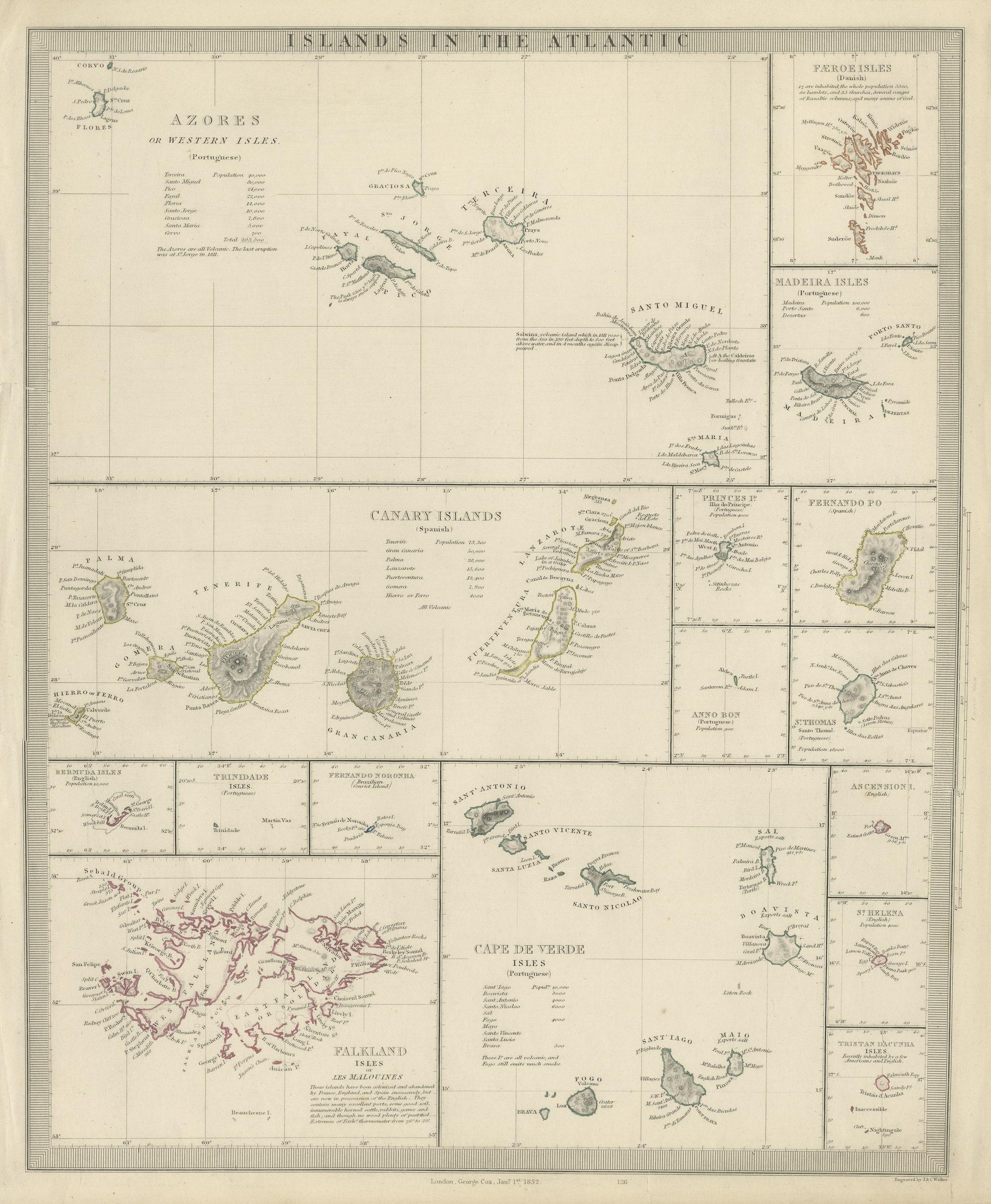
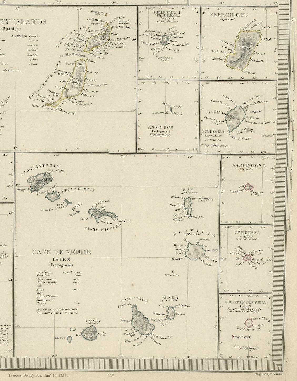
Antique Map of the Islands in the Atlantic Ocean including Bermuda & Cape Verde
€ 290
One of a kind: this is the sheet in the photographs. Ships from Langweer, the Netherlands.
Sheet size
43.3 × 36.5 cm (17.0 × 14.4 in)
Condition
Fair
Reference
BG-13188-9
Condition
Wear consistent with age and use. General age-related toning. Shows some wear and soiling. Few tears in margins, sl. affecting image. Blank verso. Please study image carefully.
About this sheet
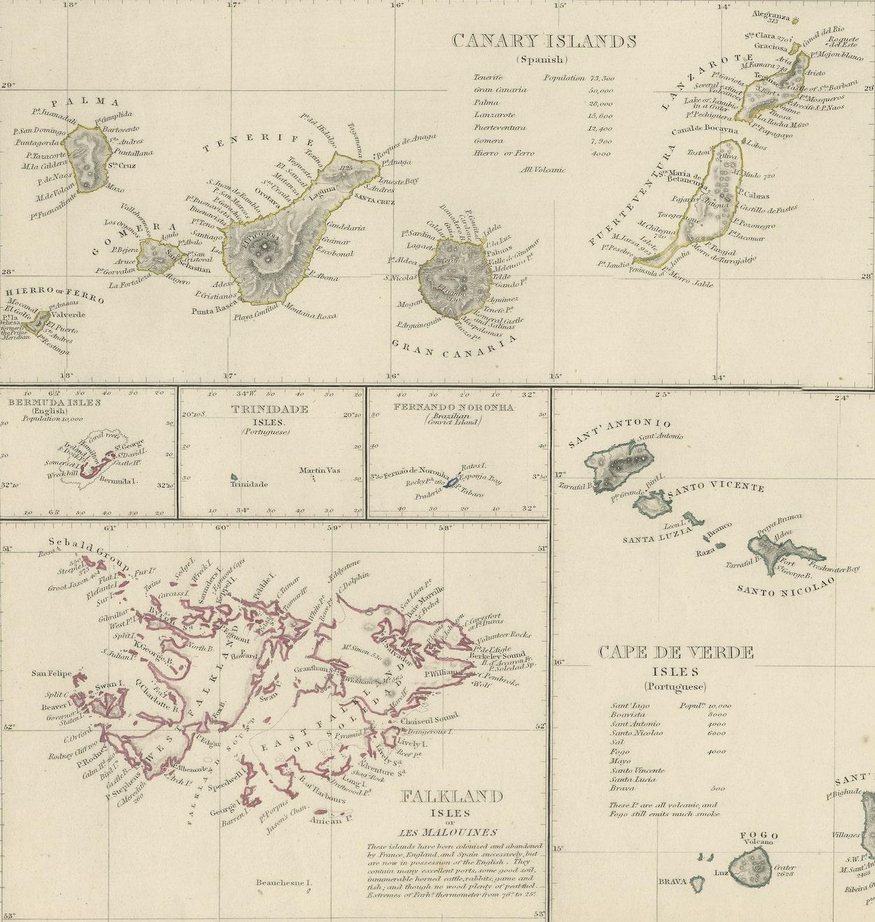
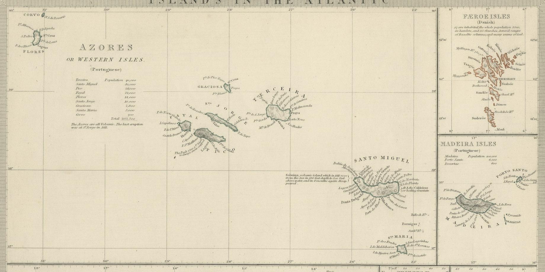
Antique map titled 'Islands in the Atlantic'. Steel engraved map of the islands in the Atlantic Ocean. It shows 16 individual maps on one sheet. Covers the Azores or Western Isles, Faeroe Isles, Madeira Isles, Princes Island, Canary Islands, Fernando Po, Anno Bon, St. Thomas, Bermuda Isles, Trinidade Isles, Fernando Noronha, Cape Verde Isles, Ascension Island, St. Helena, Tristan d'Acunha Isles and the Falkland Isles.
Engraved by J. & C. Walker. Published by George Cox, 1852.