About this sheet
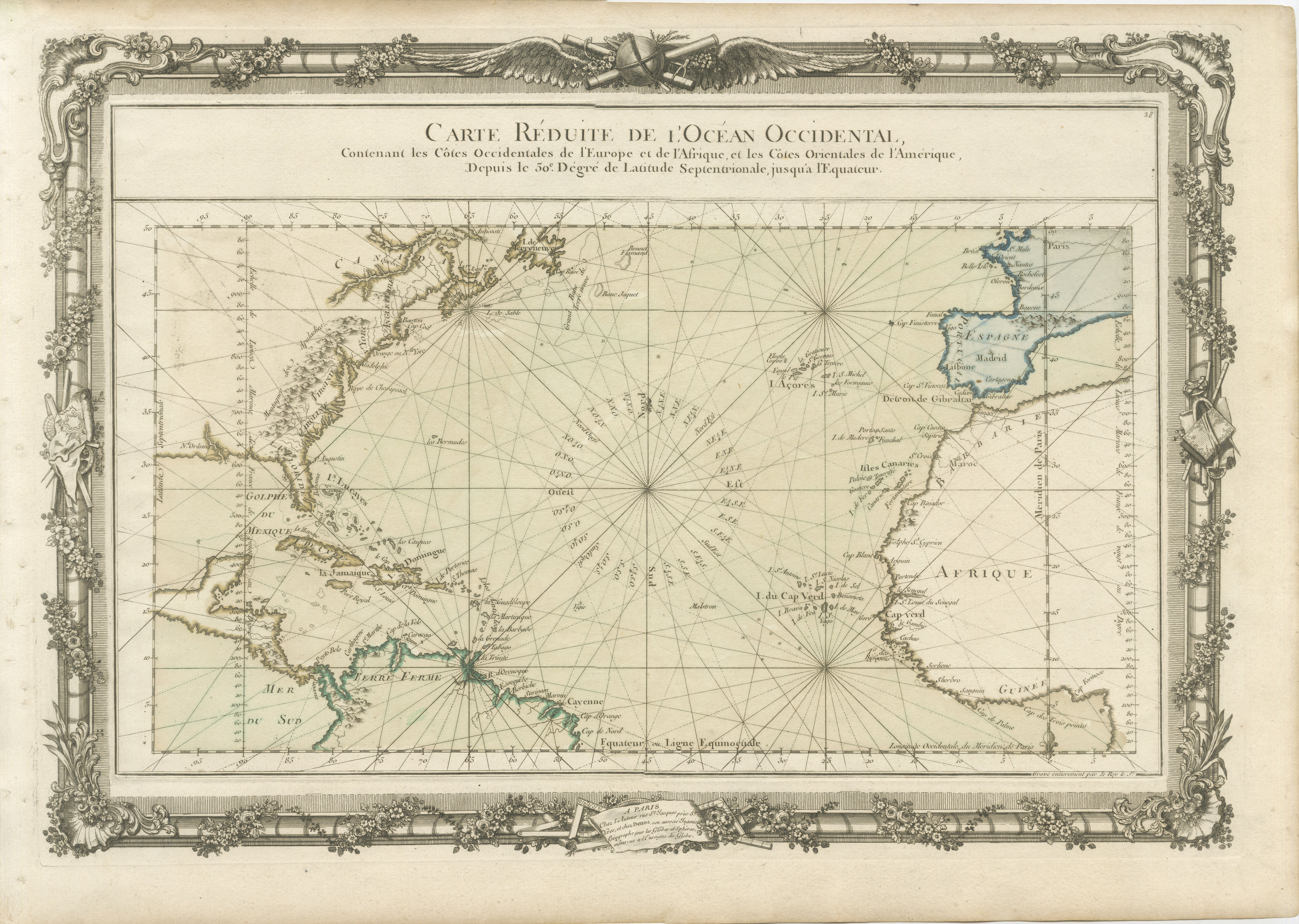
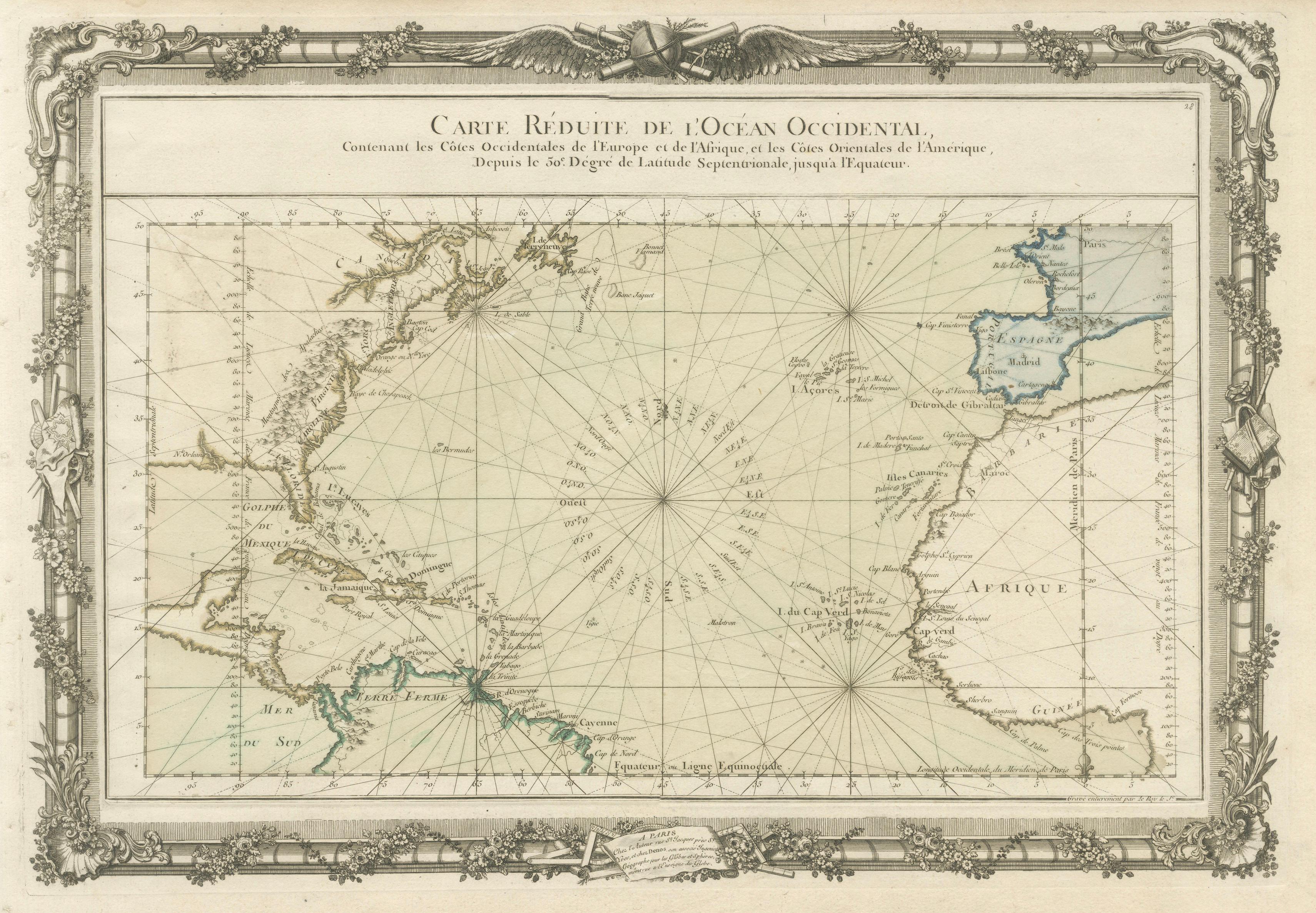
Antique Map of the Atlantic Ocean by Desnos with Ornate Border, 1761
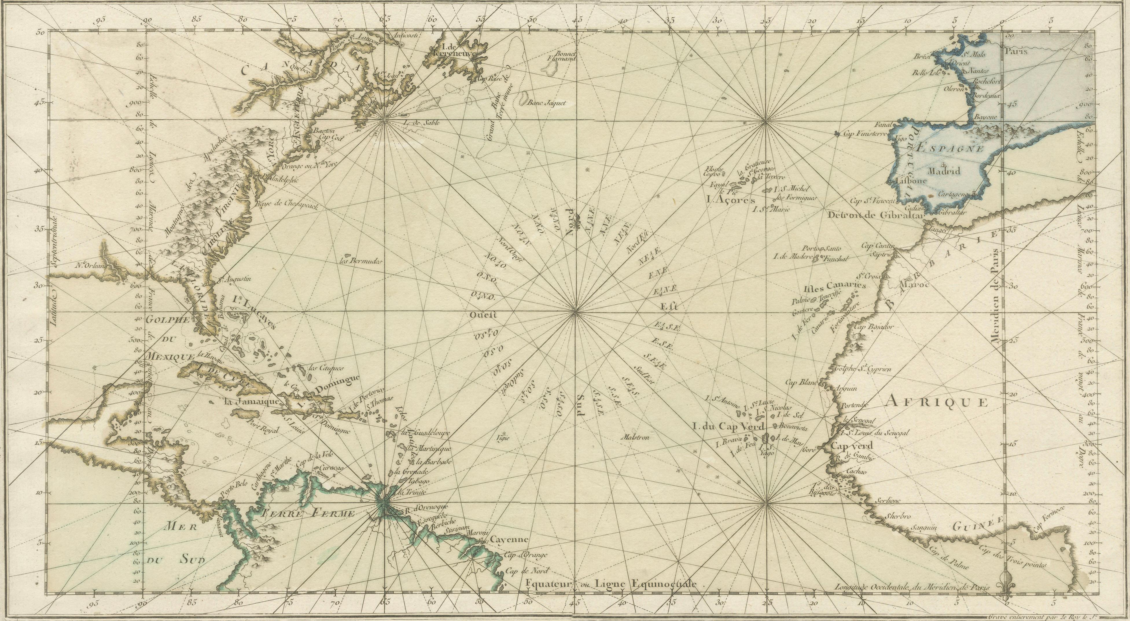
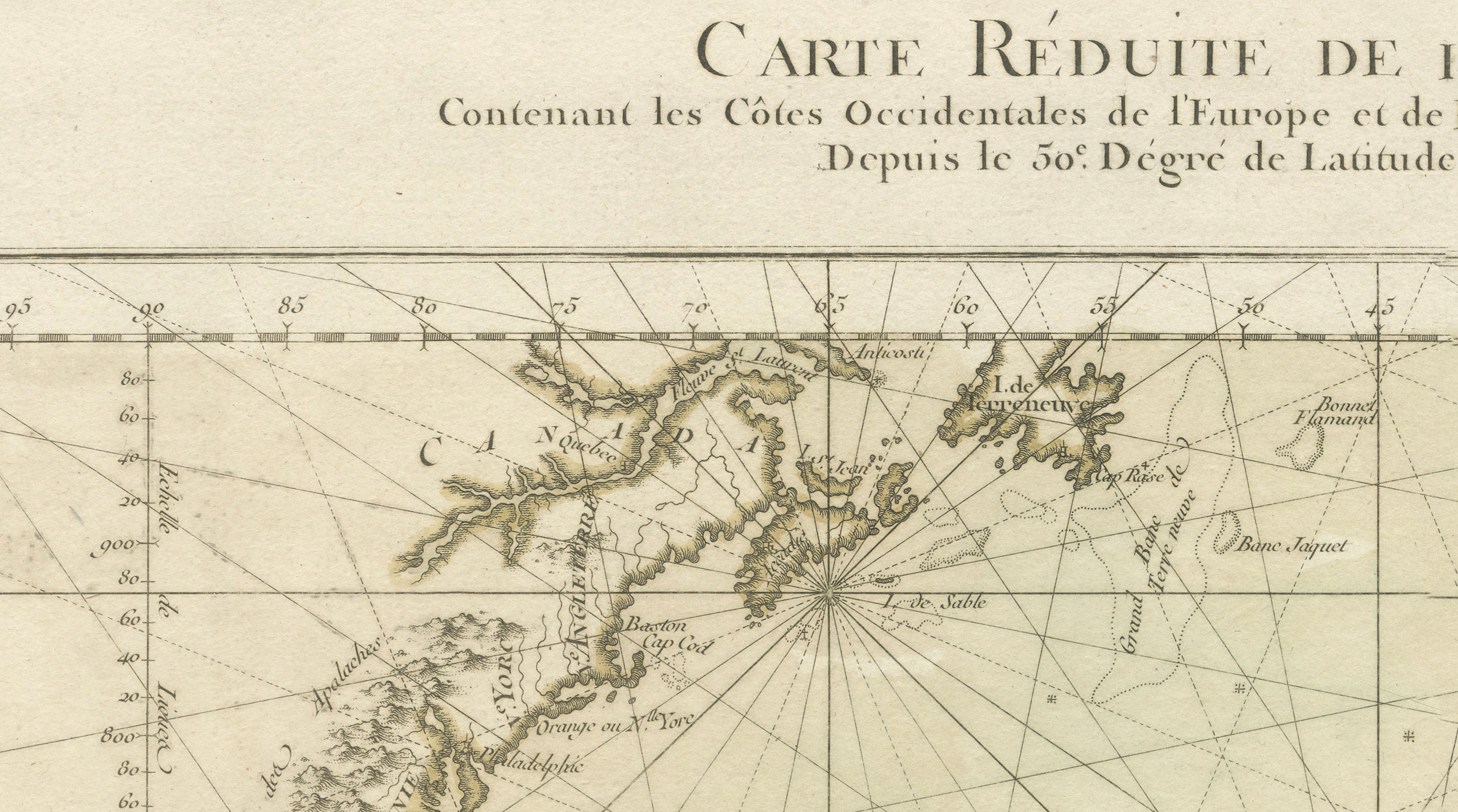
A rare and highly decorative nautical chart titled “Carte Réduite de l’Océan Occidental,” engraved by the French cartographer Louis-Charles Desnos and published in Paris in 1761. This elegant copperplate engraving represents the Atlantic Ocean during the height of the Age of Sail and was produced in the context of the Seven Years’ War, a period when accurate maritime charts were of strategic importance.
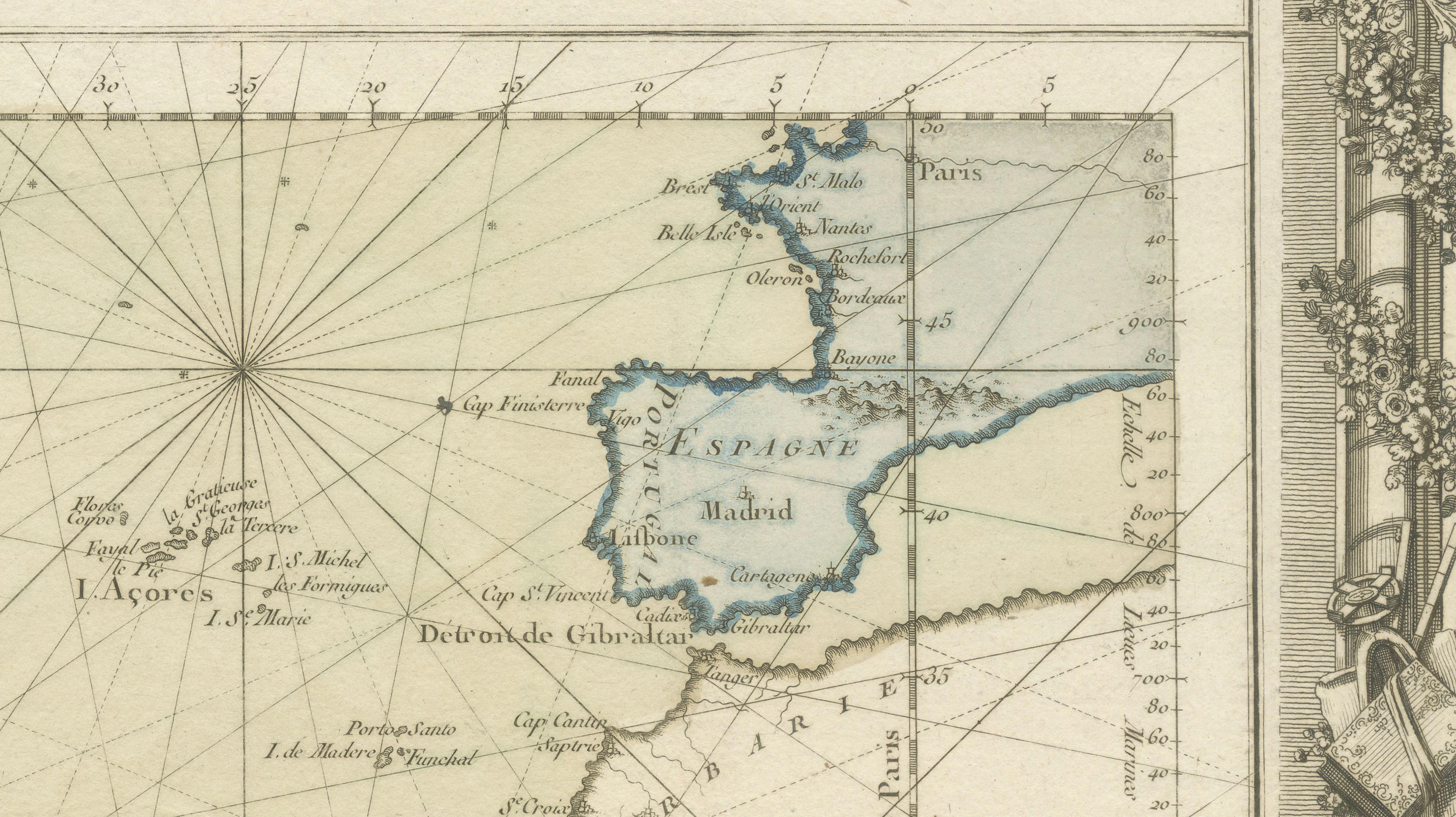
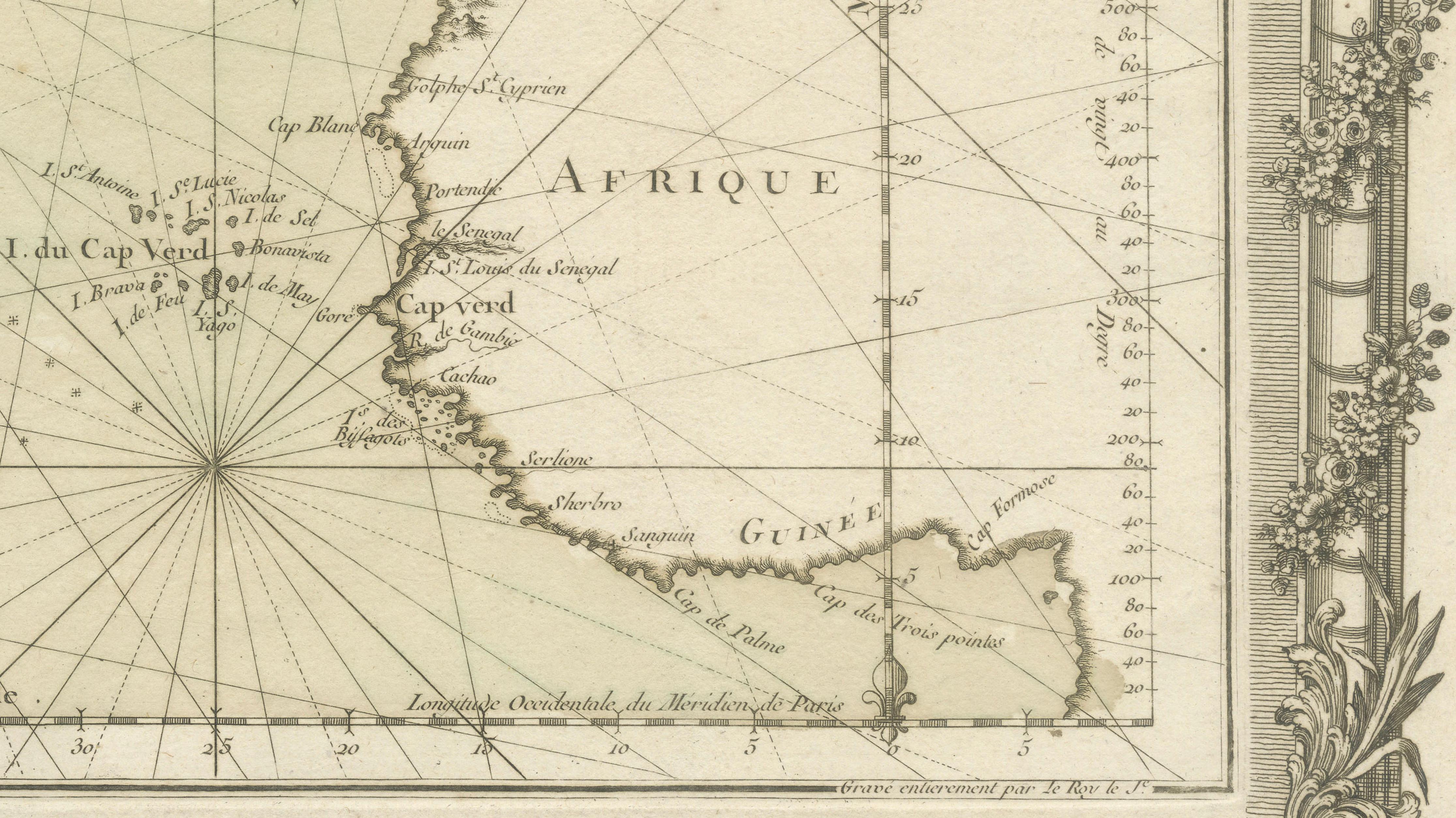
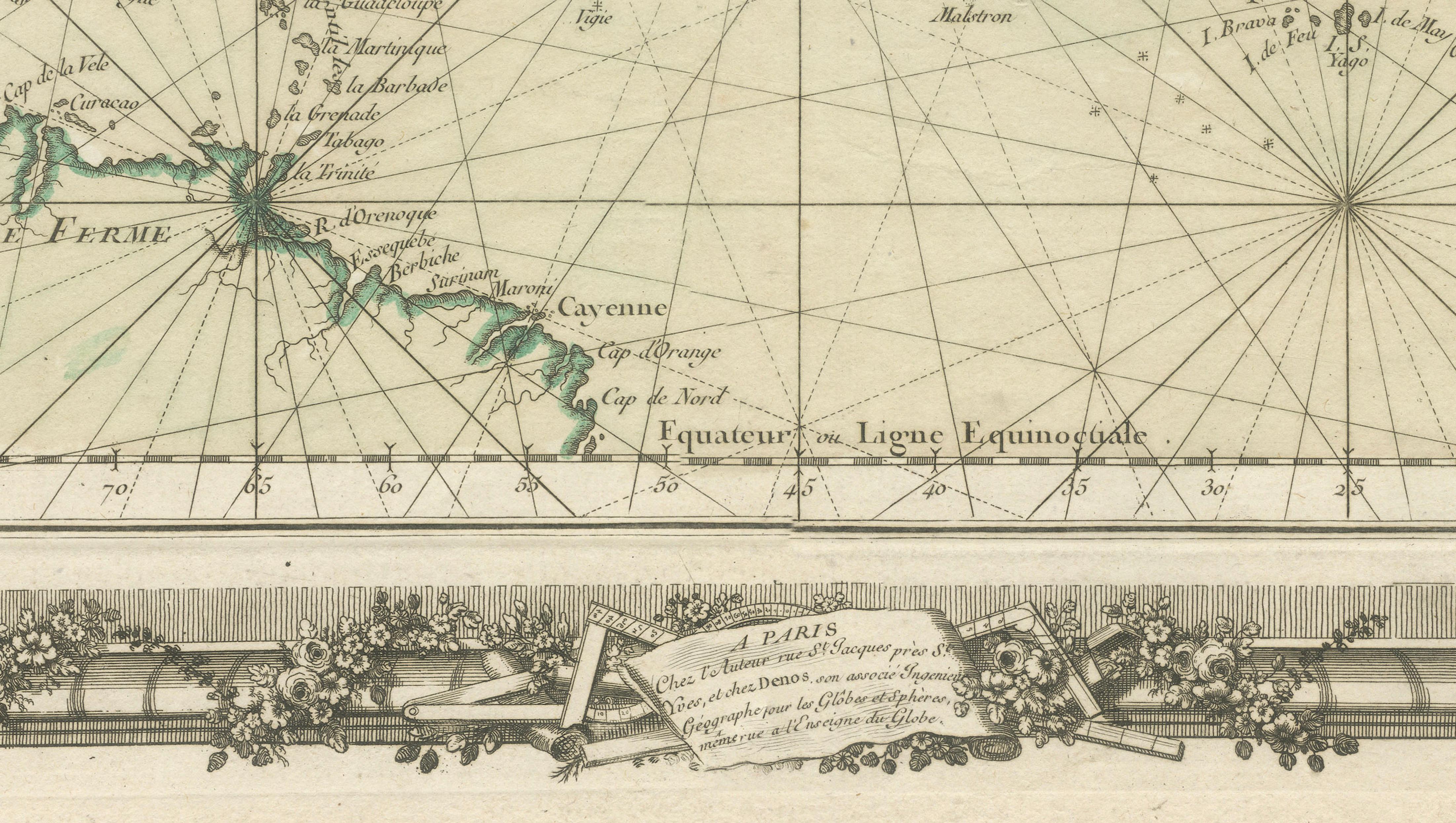
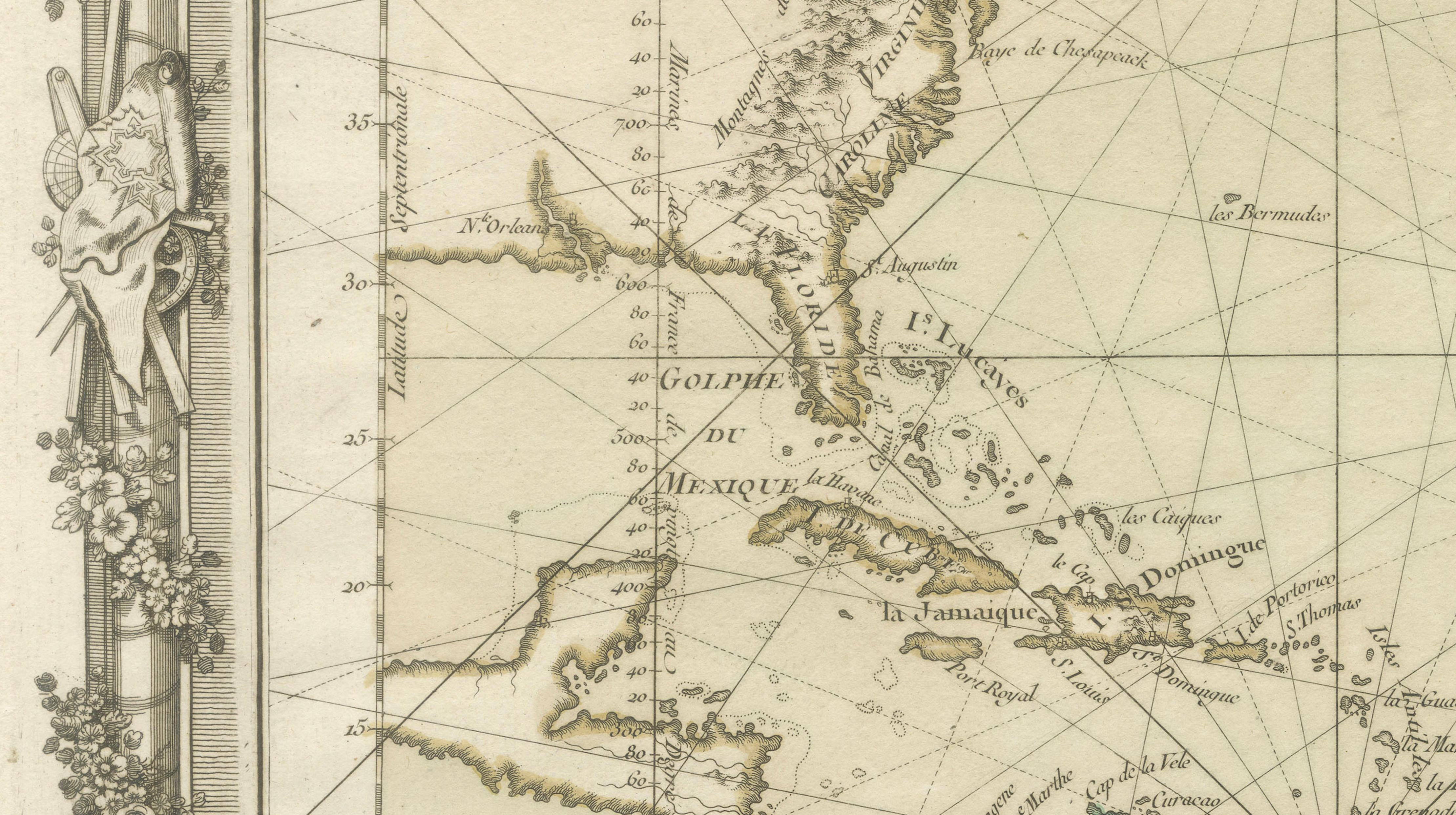
The map presents a wide transatlantic view, showing the western coasts of Europe and Africa alongside the eastern seaboards of North and South America. It extends from approximately the 50th degree of northern latitude down to the equator, encompassing key maritime regions such as Spain, France, the Caribbean, the Gulf of Mexico, and the northern coast of South America. Important island groups including the Azores and Canary Islands are clearly delineated, reflecting their crucial role as navigational waypoints.
A defining feature of this chart is the intricate network of rhumb lines radiating across the ocean from compass centers, designed to aid sailors in plotting courses across open water. These navigational elements, combined with carefully engraved coastlines and place names, highlight the practical function of the map while also contributing to its strong visual rhythm.
The composition is enclosed within an exceptionally ornate floriate border, richly decorated with garlands, classical motifs, and cartographic instruments. This elaborate frame elevates the map into a statement piece, blending scientific precision with the decorative refinement characteristic of high-quality French cartography of the 18th century. Subtle contemporary outline coloring enhances the coastal regions, adding clarity and a refined aesthetic.
Louis-Charles Desnos (1725–1805), a prominent Parisian mapmaker and Royal Globemaker to King Christian VII of Denmark, was known for producing maps that combined functionality with strong decorative appeal. This example stands as a fine representation of his work and of French nautical chart production during this period.
This is an original 18th-century engraving, not a reproduction. All items we offer are authentic period works of art over 100 years old. The print is sold unframed; any framed images are shown for presentation and interior inspiration only and not always on scale in the visual presentation.
Condition: Good condition with age-related toning and light surface wear. Central fold as issued. Minor spotting and handling marks, consistent with age. Margins intact, with a strong and clear impression and well-preserved contemporary outline coloring.
Framing tips: This map is ideally suited to a prominent wall display. A dark walnut or ebonized frame combined with a wide ivory or warm off-white mat will enhance both the ornate border and the open ocean composition, creating a refined, museum-quality presentation.
Technique: Copper engraving with contemporary outline color
Maker: Louis-Charles Desnos, Paris, 1761
Keywords: Atlantic Ocean map Desnos 1761 nautical chart sea chart rhumb lines compass rose Europe Africa America Caribbean Gulf of Mexico Azores Canary Islands Spain France West Africa South America North America antique map French cartography 18th century engraving decorative border maritime navigation Seven Years War ocean chart sailing routes vintage map wall decor