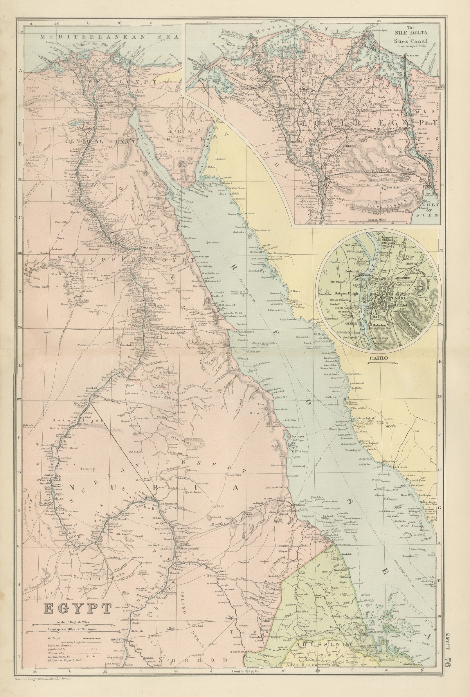
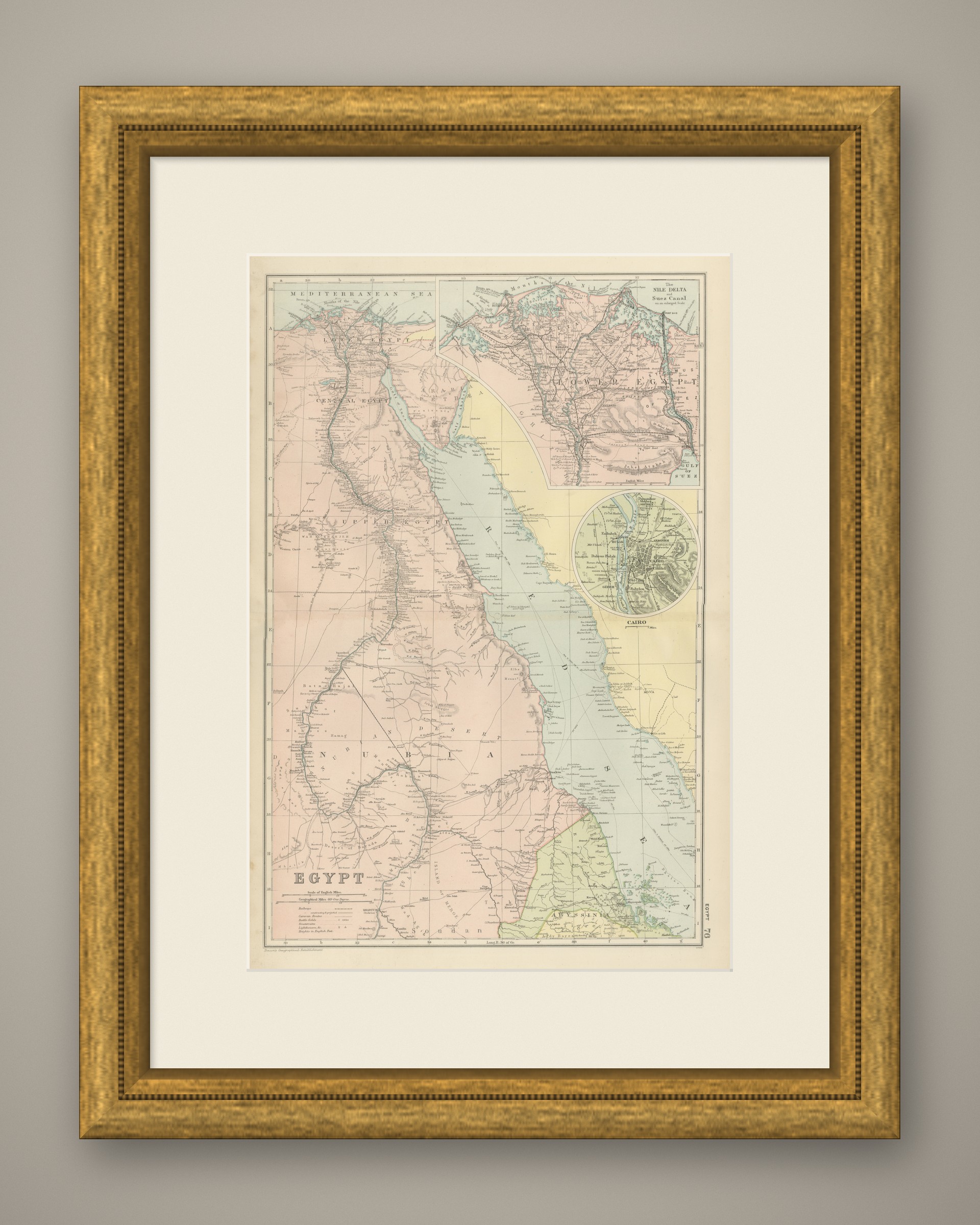
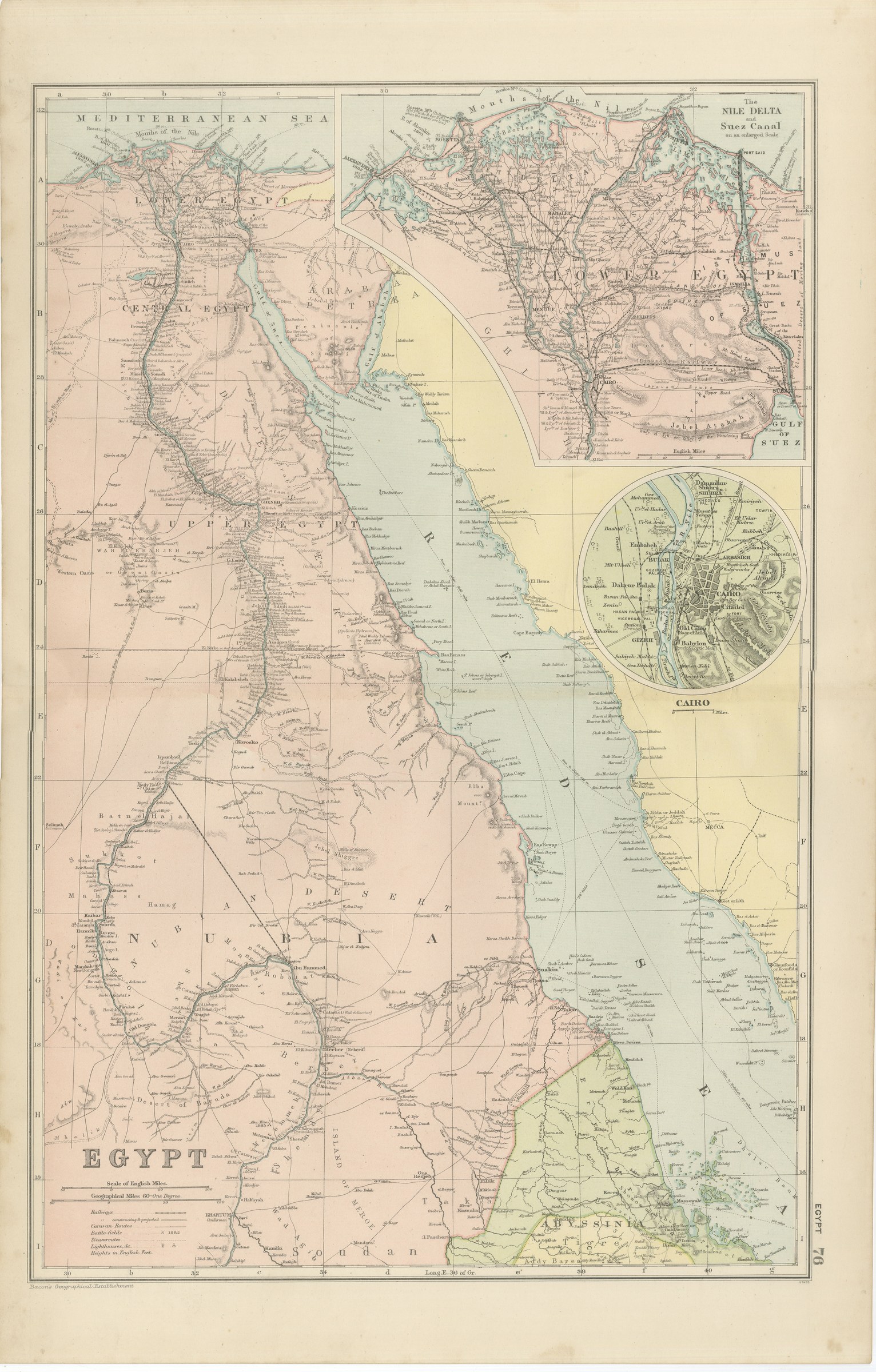
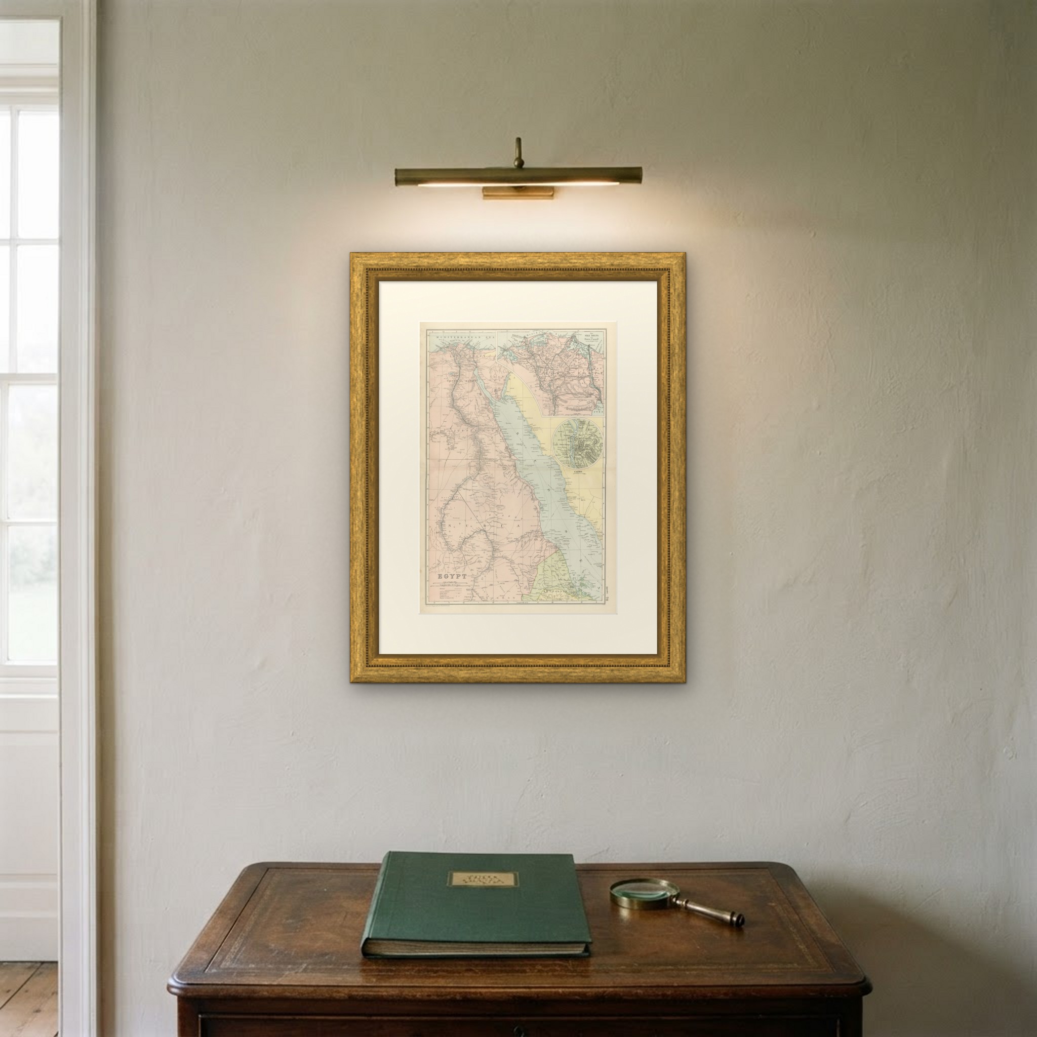
Antique Map of Egypt, the Nile Delta, Suez Canal and Cairo, 1898
€ 265
Original antique · The actual sheet photographed · Certificate of authenticity on request · Sold unframed · Worldwide shipping from € 15 (rates)
Date
1898
Mapmaker / artist
George Washington Bacon
Publisher
G. W. Bacon and Company, Limited, 127 Strand, London
Technique
Lithograph
Coloring
Printed color
Sheet size
54 × 34 cm (21.3 × 13.4 in)
Condition
Good
Reference
BG-06675-76
What the condition grades mean
Excellent
Bright and clean, with no faults worth mentioning.
Very good
Only light signs of age, such as faint toning.
Good
Normal signs of age for a sheet of this period: toning, some foxing, small marks or neat old repairs.
Fair
Clear faults such as staining, tears or repairs, priced to match.
Every fault we see is written in the condition note, and the whole sheet is shown uncropped in the photos.
Condition
Light overall age toning, with the paper darker along the left edge and a few handling marks in the margins. The printed image itself is clean.
About this sheet
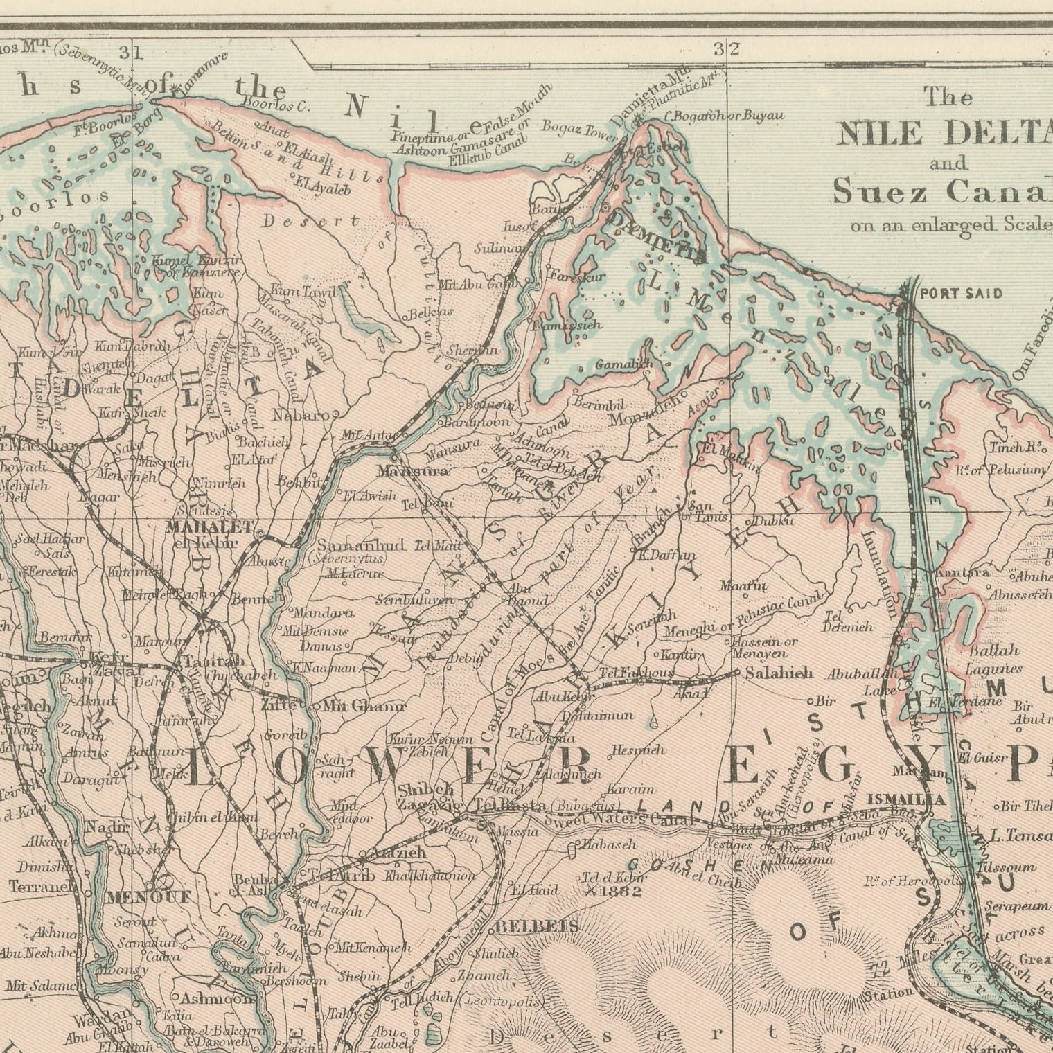
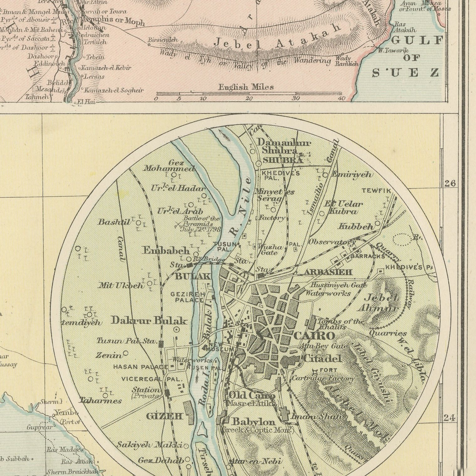
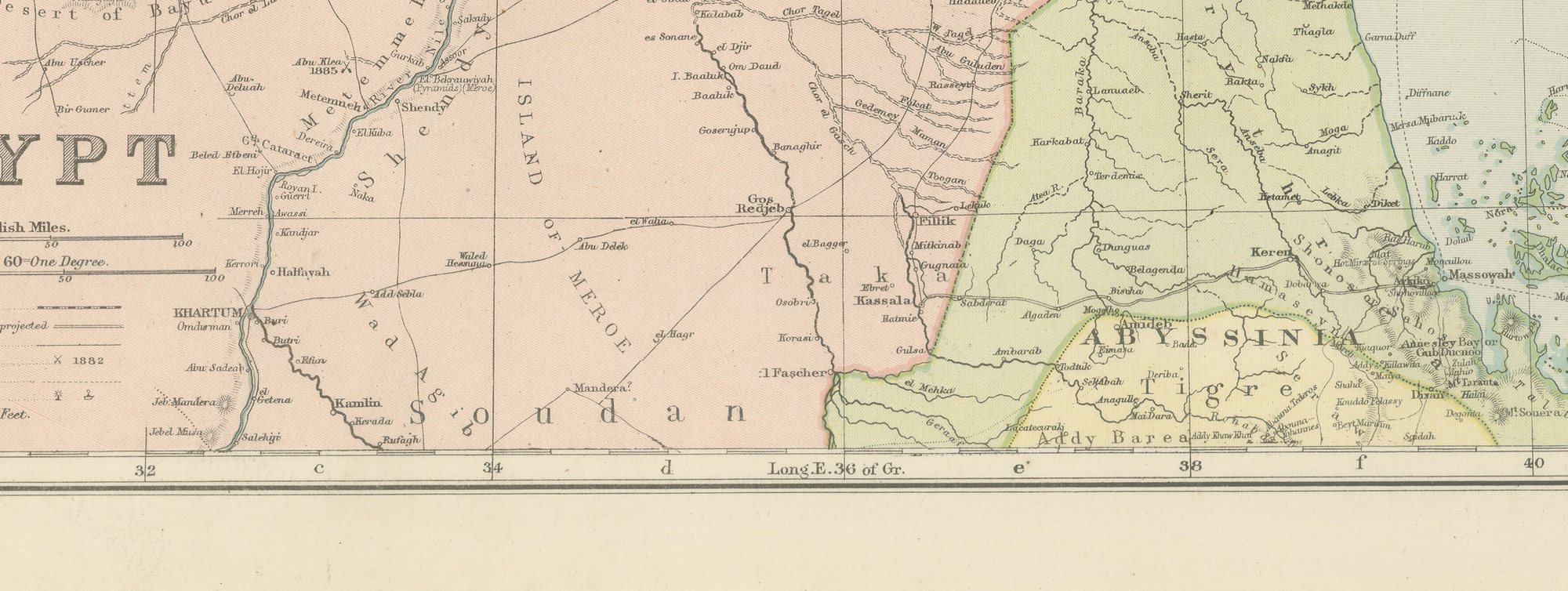
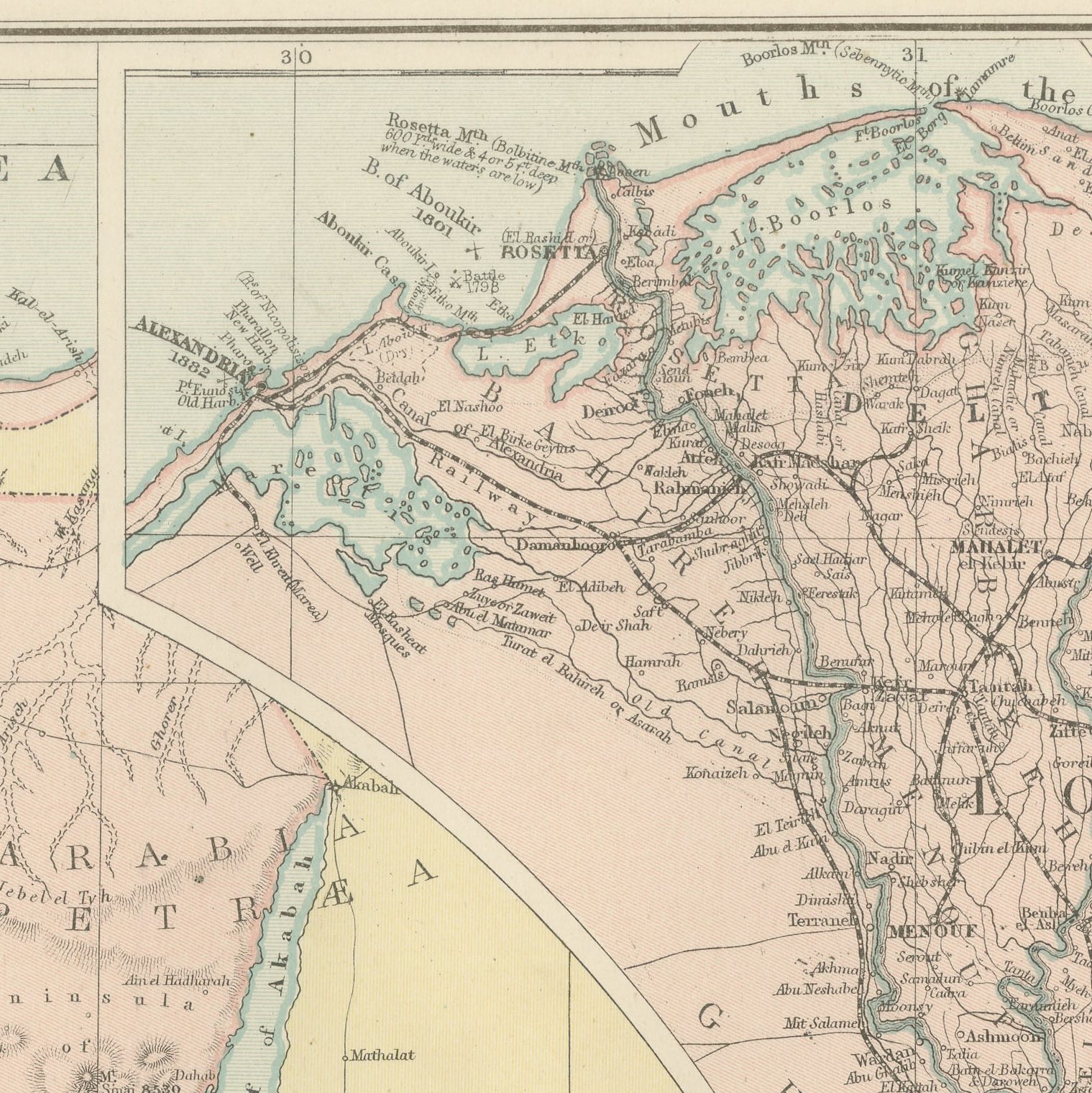
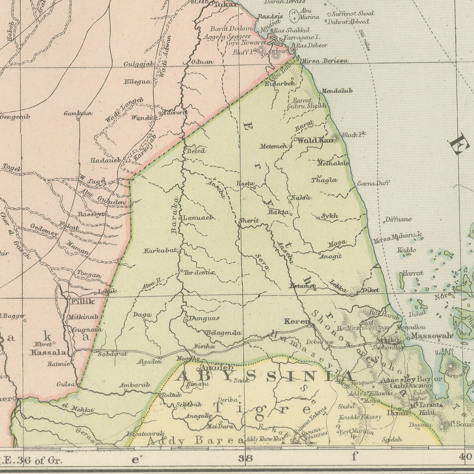
Original antique map of Egypt from the 1898 Commercial and Library Atlas of the World, edited by G. W. Bacon in London and printed in color. The upright double page follows the Nile from the Mediterranean to Nubia and the Soudan, with Lower, Central and Upper Egypt colored separately, the Arabian and Libyan deserts shaded on either side, and the Red Sea coast with its ports drawn down to the Sudanese frontier. Two insets give the Nile Delta with the Suez Canal at an enlarged scale, and a plan of Cairo with Gizeh and the pyramids.
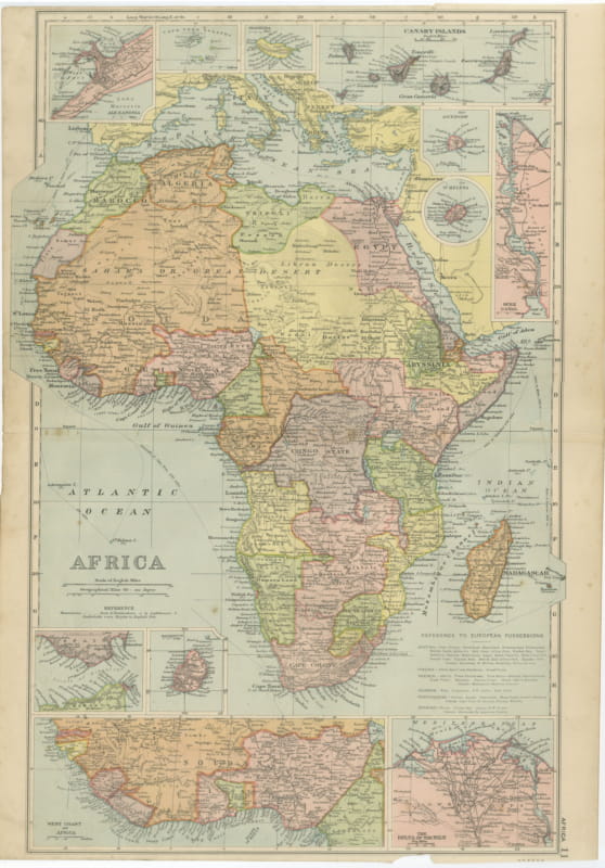
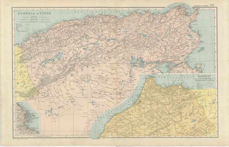
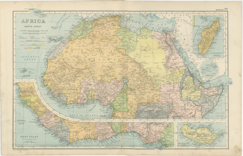
The sheet was printed for the Commercial and Library Atlas of the World, the reference atlas G. W. Bacon and Company, Limited published from the Strand in London in 1898. Bacon edited it himself, and his Geographical Establishment drew, printed and colored every plate. One hundred double page maps and one hundred insets covered the whole of the known world, with the railway and steamship lines that were then remaking it marked throughout.
The map was printed in the year of Omdurman, when Kitchener's army retook the Soudan, and the southern frontier on the sheet is the one that campaign was about to move. Egypt itself was under British occupation while remaining nominally Ottoman, an arrangement the coloring quietly reflects. The Suez inset shows the canal thirty years after it opened, with Port Said, Ismailia and Suez named, and the Cairo plan reaches out to the pyramids.
Light overall age toning, with the paper darker along the left edge and a few handling marks in the margins. The printed image itself is clean.
Framed simply, a sheet of this size holds a wall on its own, and the clear color printing reads well across a room. It suits a study, a library, an office or a hallway, and it is an easy gift for anyone with a connection to the place it shows. This is an original antique map, not a modern reproduction. This item is sold unframed. Any framed or interior images are shown for presentation and inspiration only, unless the listing explicitly states that the item is sold framed.