

Black Friday Sale now on: up to 30% off until Monday 30 November →
Orders placed from 15 to 30 November ship from 1 December, in time for Christmas. Our shipping partner: InXpress.
Maps & PrintsBartele Gallery · Langweer
Home / Antique Maps / Africa

Africa · 19th century

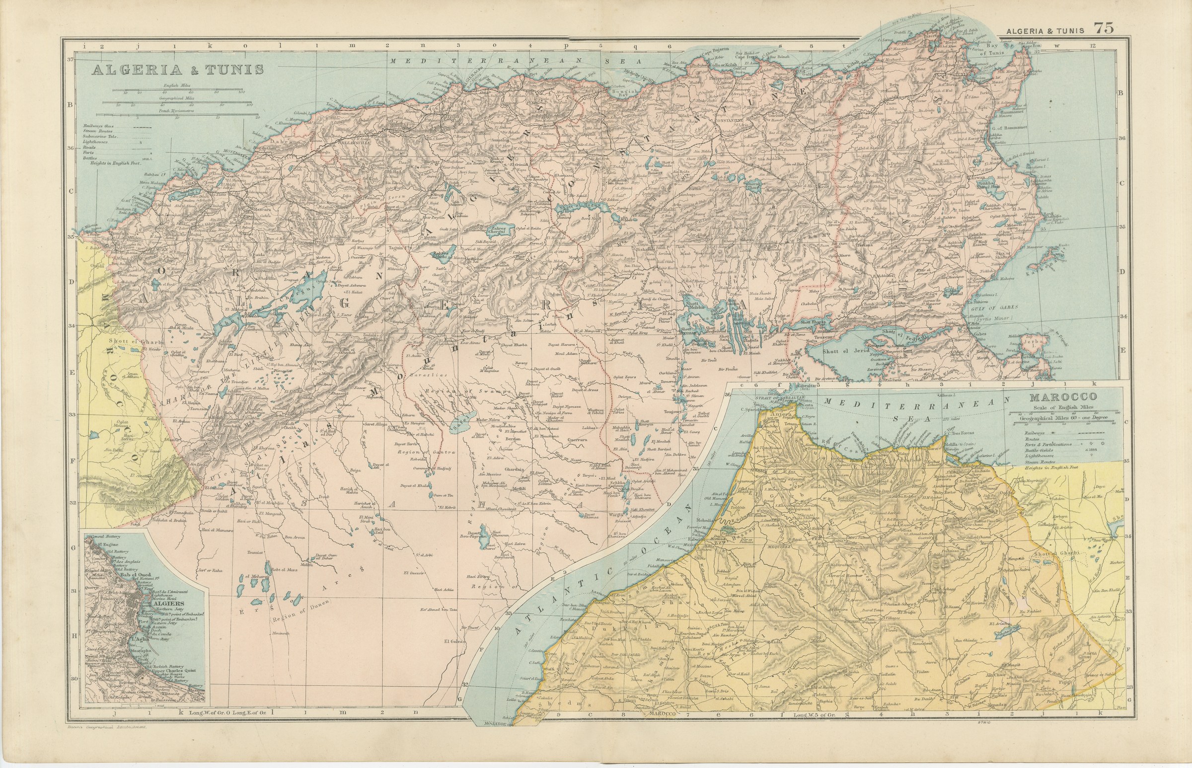
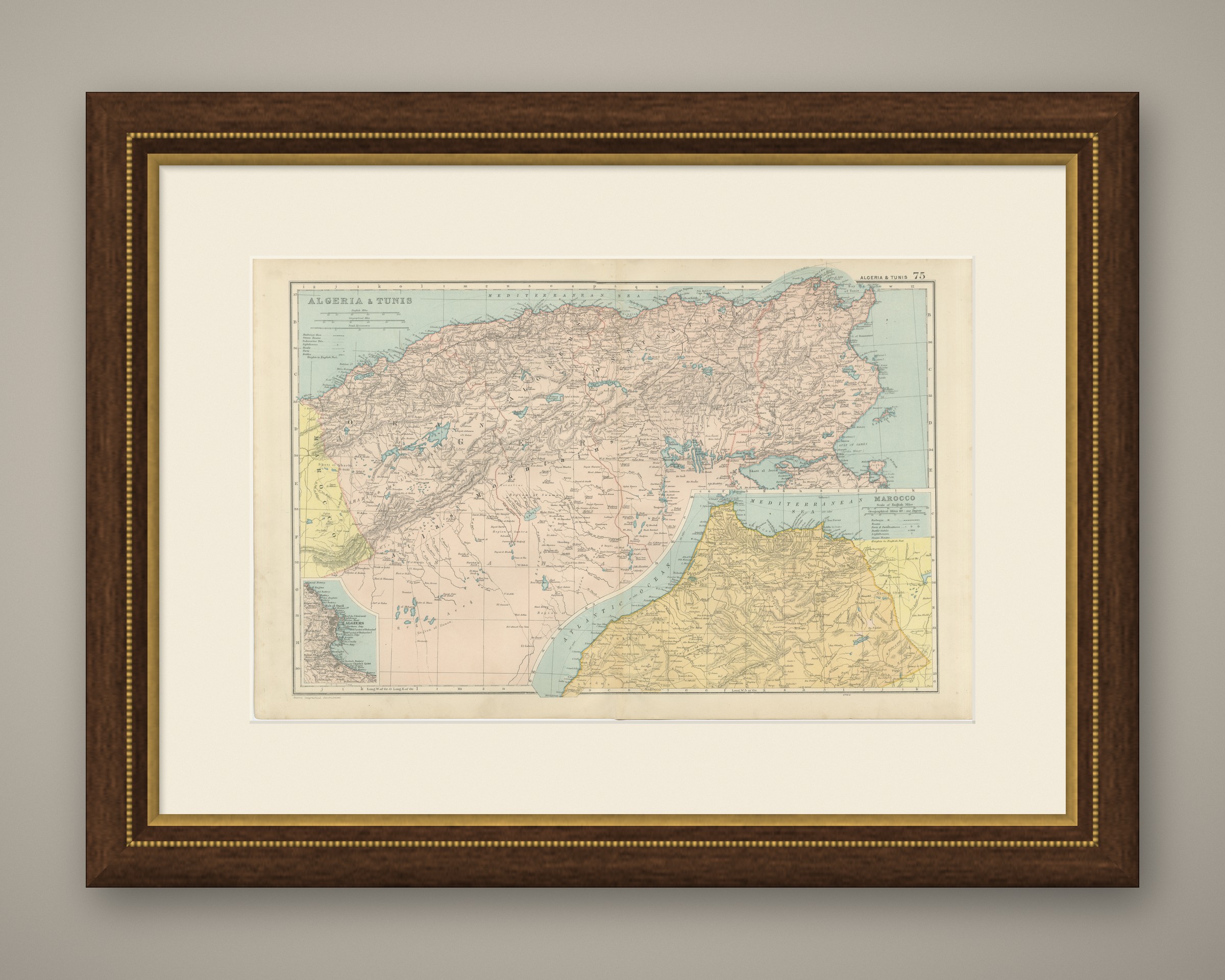
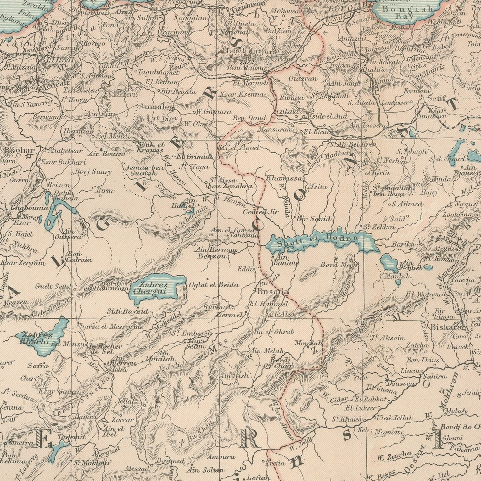
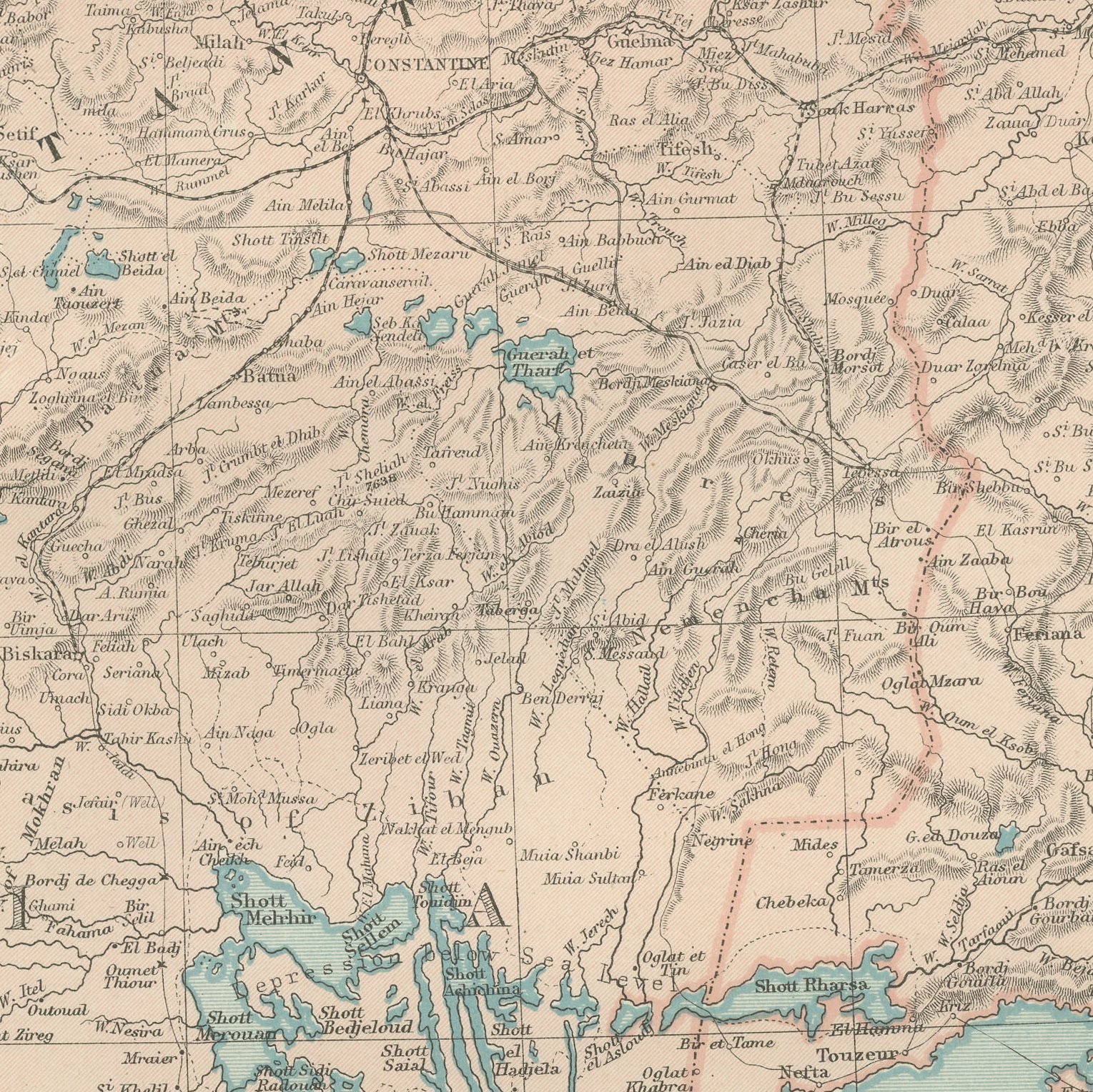
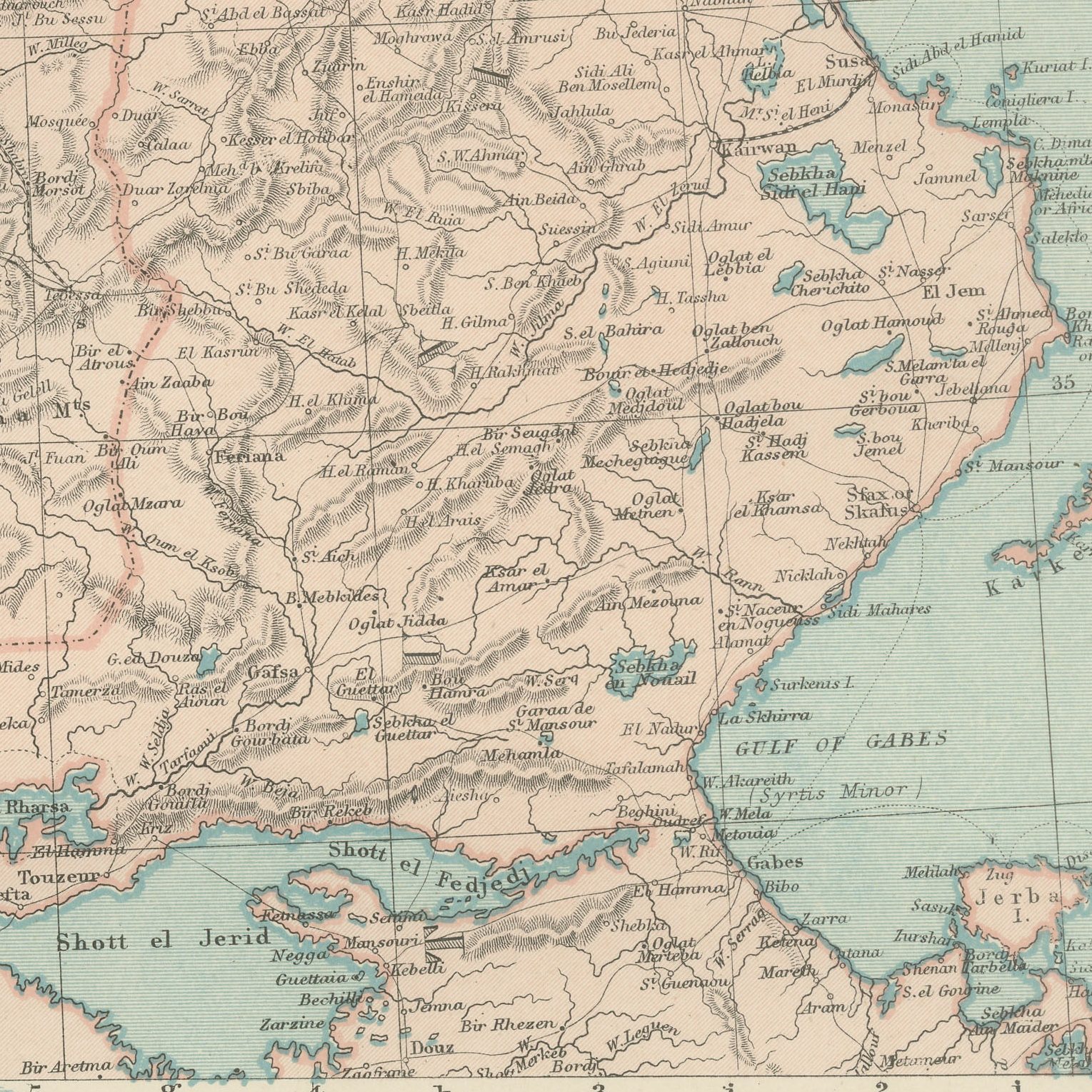
Antique Map of Algeria and Tunis, with Morocco and Algiers, 1898

€ 275

Original antique · The actual sheet photographed · Certificate of authenticity on request · Sold unframed · Worldwide shipping from € 15 (rates)

Date
1898
Mapmaker / artist
George Washington Bacon
Publisher
G. W. Bacon and Company, Limited, 127 Strand, London
Technique
Lithograph
Coloring
Printed color
Sheet size
34 × 54 cm (13.4 × 21.3 in)
Condition
Good
Reference
BG-06675-75
What the condition grades mean
Excellent
Bright and clean, with no faults worth mentioning.
Very good
Only light signs of age, such as faint toning.
Good
Normal signs of age for a sheet of this period: toning, some foxing, small marks or neat old repairs.
Fair
Clear faults such as staining, tears or repairs, priced to match.

Every fault we see is written in the condition note, and the whole sheet is shown uncropped in the photos.

Condition

Light overall age toning, with the paper darker along the top edge. The printed image itself is clean.
About this sheet

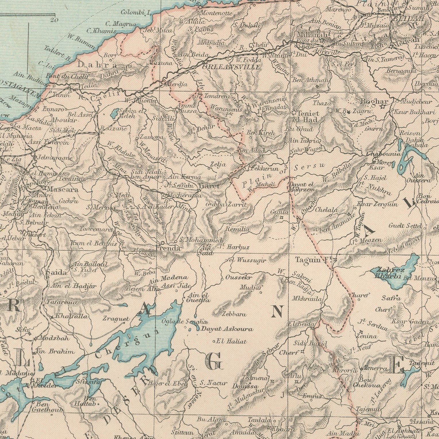
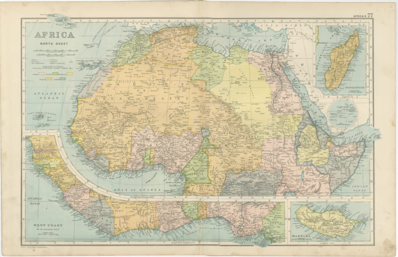
A large color printed antique map of Algeria and Tunis, published in London by G. W. Bacon in 1898 for his Commercial and Library Atlas of the World. The double page runs along the Barbary coast from the Moroccan frontier to the Gulf of Gabes, with the Tell Atlas and the Saharan Atlas shaded, the shotts drawn as salt lakes in the interior, and the French departments and military territories colored separately. Two insets give the Sultanate of Marocco and a plan of Algiers with its bay.

The plate belongs to the 1898 edition of Bacon's Commercial and Library Atlas of the World with Index-Gazetteer, edited by G. W. Bacon of 127 Strand, London. Printed and colored at Bacon's Geographical Establishment, the atlas set out one hundred double page maps and one hundred inset maps, and its purpose was practical: it recorded the political world as the Victorians left it, a year after the Diamond Jubilee and a year before the South African War.

French Algeria was a settled colony by 1898, with vineyards, railways and European place names laid over the older geography, and the map shows both layers at once. Tunis had been a protectorate for seventeen years. Morocco, in the inset, was still an independent sultanate and would remain so until 1912, which gives the sheet a clear place in the history of North Africa. The Roman sites of the interior are marked among the modern towns.

Light overall age toning, with the paper darker along the top edge. The printed image itself is clean.
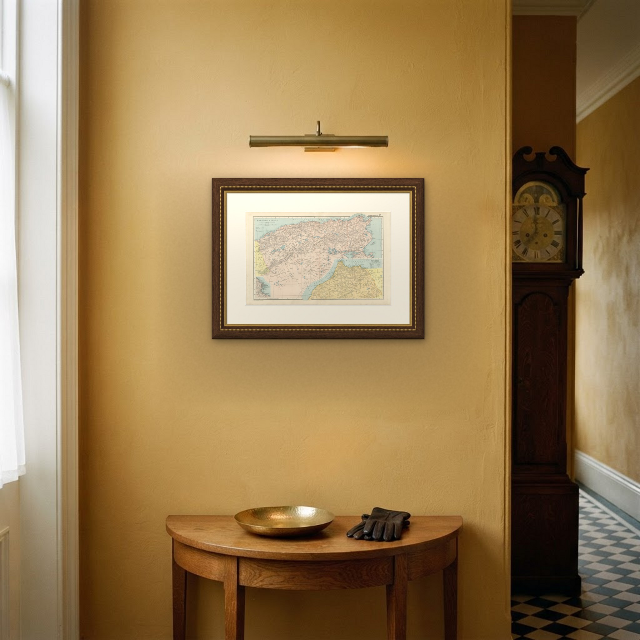
A map like this rewards close looking, so hang it where people pass near it: a hall, a landing, a study or a meeting room. The printed color is soft and the lettering fine, and it sits comfortably beside both antique and modern furniture. This is an original antique map, not a modern reproduction. This item is sold unframed. Any framed or interior images are shown for presentation and inspiration only, unless the listing explicitly states that the item is sold framed.

More from Africa

Ask about this sheet

Antique Map of Algeria and Tunis, with Morocco and Algiers, 1898
1898 · Ref. BG-06675-75 · € 275
We reply by email, usually within one working day.

Your favorites

Saved in this browser. Email the list to yourself to keep it on any device.

We use your email to send this list and, only if you tick the box and confirm, for occasional new arrivals. Every email has an unsubscribe link. Bartele Gallery, the Netherlands.

Powered by SiteKeys