

Maps & PrintsBartele Gallery · Langweer
Home / Antique Maps / Africa

Africa

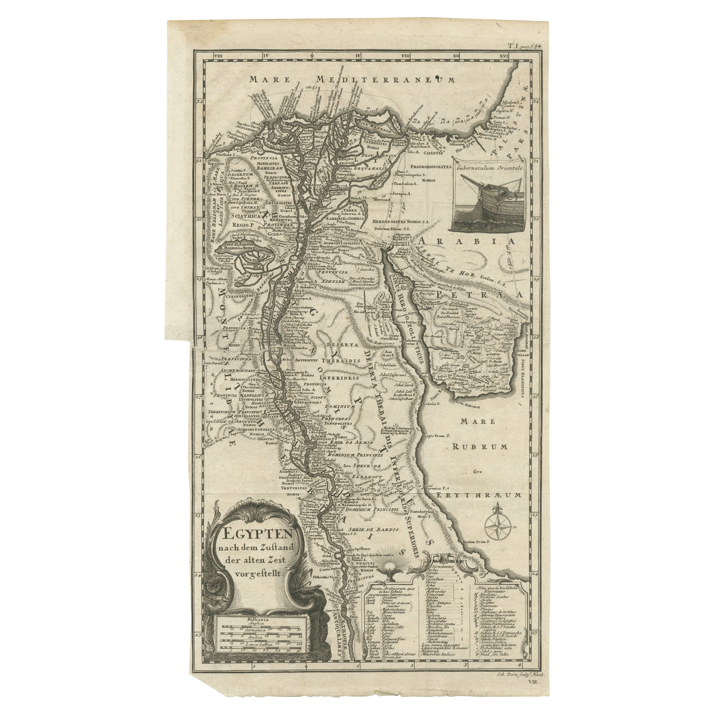
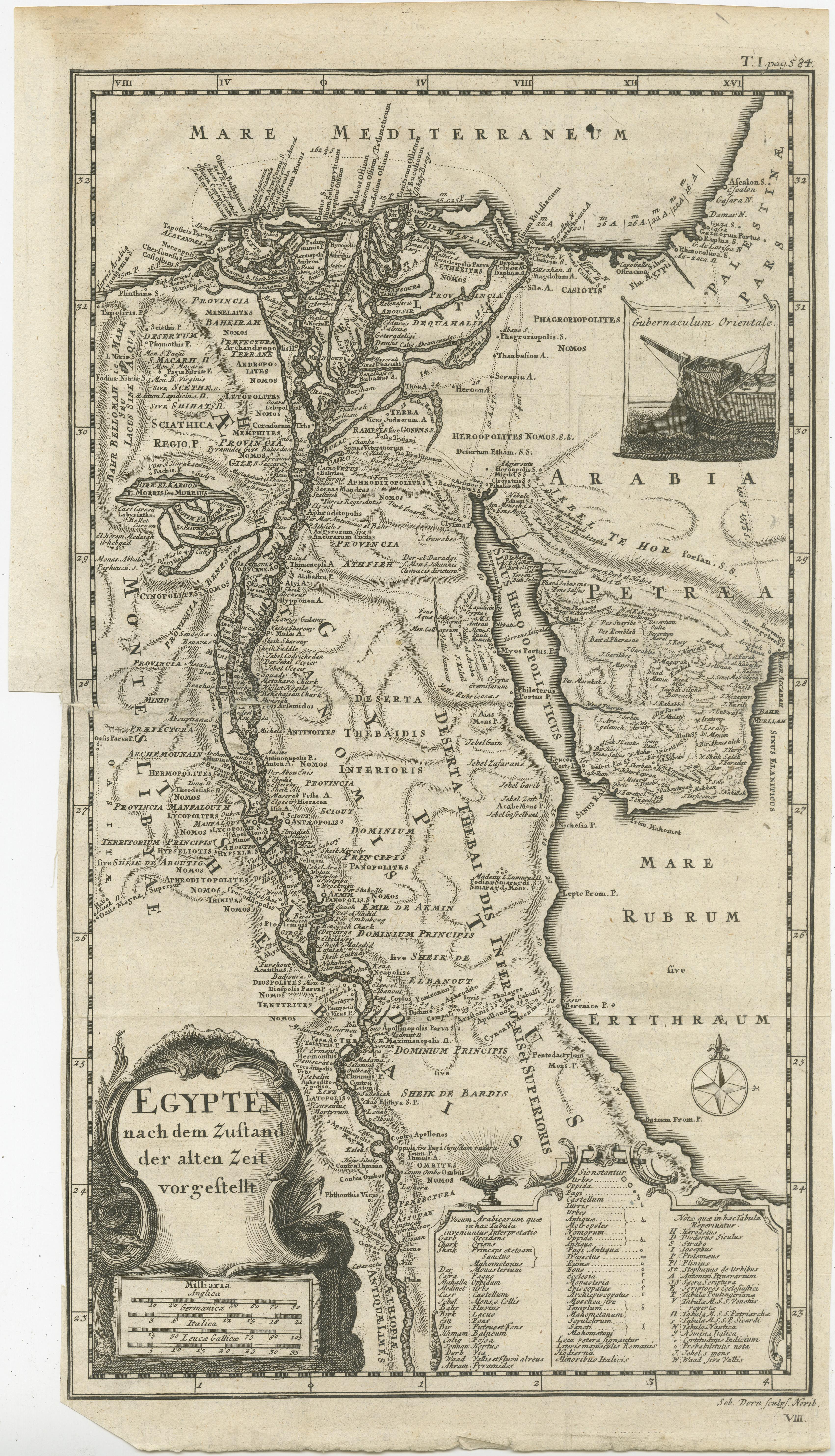
Antique Map of Egypt and the Nile River

€ 340

One of a kind: this is the sheet in the photographs. Ships from Langweer, the Netherlands.

Sheet size
40 × 22.2 cm (15.7 × 8.7 in)
Condition
Fair
Reference
BG-13365-4

Condition

Repaired: Closed tear left part of the map. Closed tear left part of the map, also affecting image. Original folding lines. Narrow margins. Small defect bottom left corner. Shows some wear and soiling, blank verso. Please study image carefully.
About this sheet

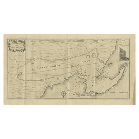
Antique map titled 'Egypten nach dem Zustand der alten Zeit vorgestellt'. This uncommon and richly detailed map of Egypt features hundreds of place names along the Nile. The Sinai Peninsula is shown with a strangely stub-like tip. An inset at right demonstrates the rudder system used in boats in the region. A decorative cartouche at bottom contains a key that translates Arabic geographical terms into Latin and explains the symbols used on the map. Another ornate cartouche at bottom left includes the title and four distance scales. Engraved by Sebastian Dorn. Published circa 1746.

More from Africa

Ask about this sheet

Antique Map of Egypt and the Nile River
Ref. BG-13365-4 · € 340
We reply by email, usually within one working day.