Maps & PrintsBartele Gallery · Langweer
Home / Antique Maps / Africa

Africa · 18th century

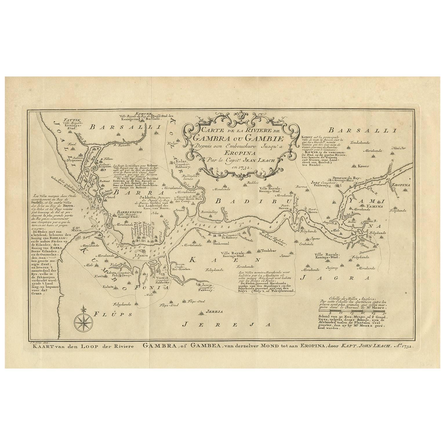
Antique Map of the Gambia River by J. Van Schley, circa 1750

€ 227

One of a kind: this is the sheet in the photographs. Ships from Langweer, the Netherlands.

Date
1750
Sheet size
25 × 37.5 cm (9.8 × 14.8 in)
Condition
Good
Reference
BG-03507

Condition

Please study image carefully.
About this sheet

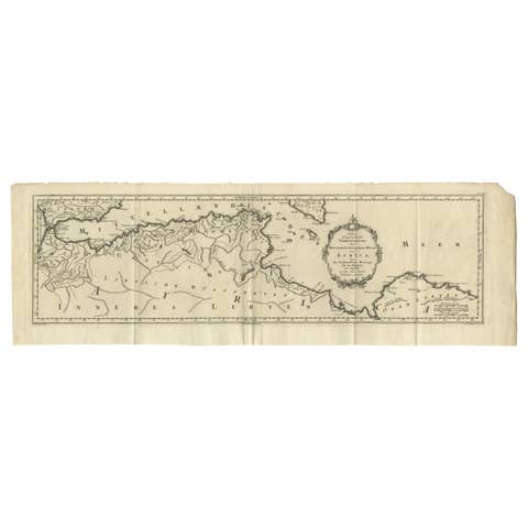
"Carte de la Riviere de Gambra ou Gambie. Depuis son Embouchure Jusqu a Eropina". Orig. copper-engraving after Capt. J. Leach's map of the region from 1732. With ornamental title cartouche and Dutch title under the map ("Kaart van den Loop der Riviere Gambra, of Gambea, van derzelver Mond tot aan Eropina").

A map of western part of the river Gambia from its mouth to the place named "Eropina". Many small settlements are shown.

More from Africa

Ask about this sheet

Antique Map of the Gambia River by J. Van Schley, circa 1750
1750 · Ref. BG-03507 · € 227
We reply by email, usually within one working day.