About this sheet
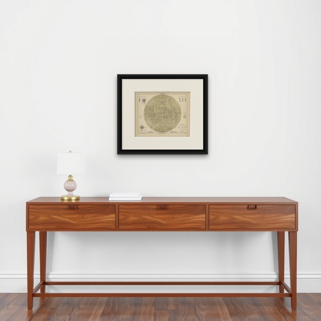
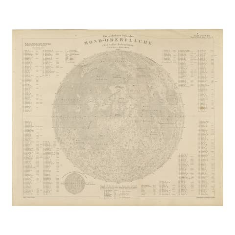
Antique Lunar Map “Der Mond”, German Scientific Chart Meyers Leipzig c.1900
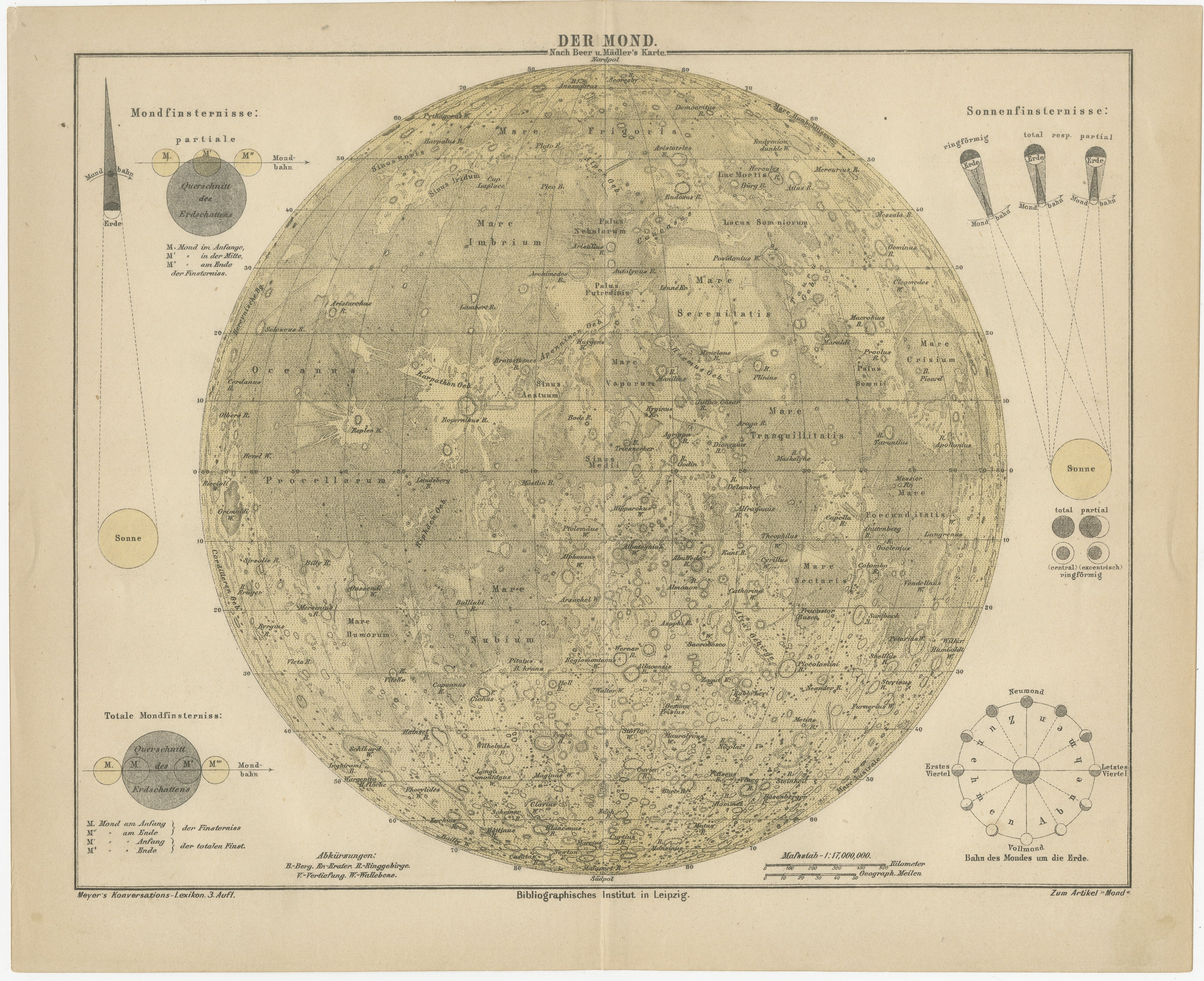
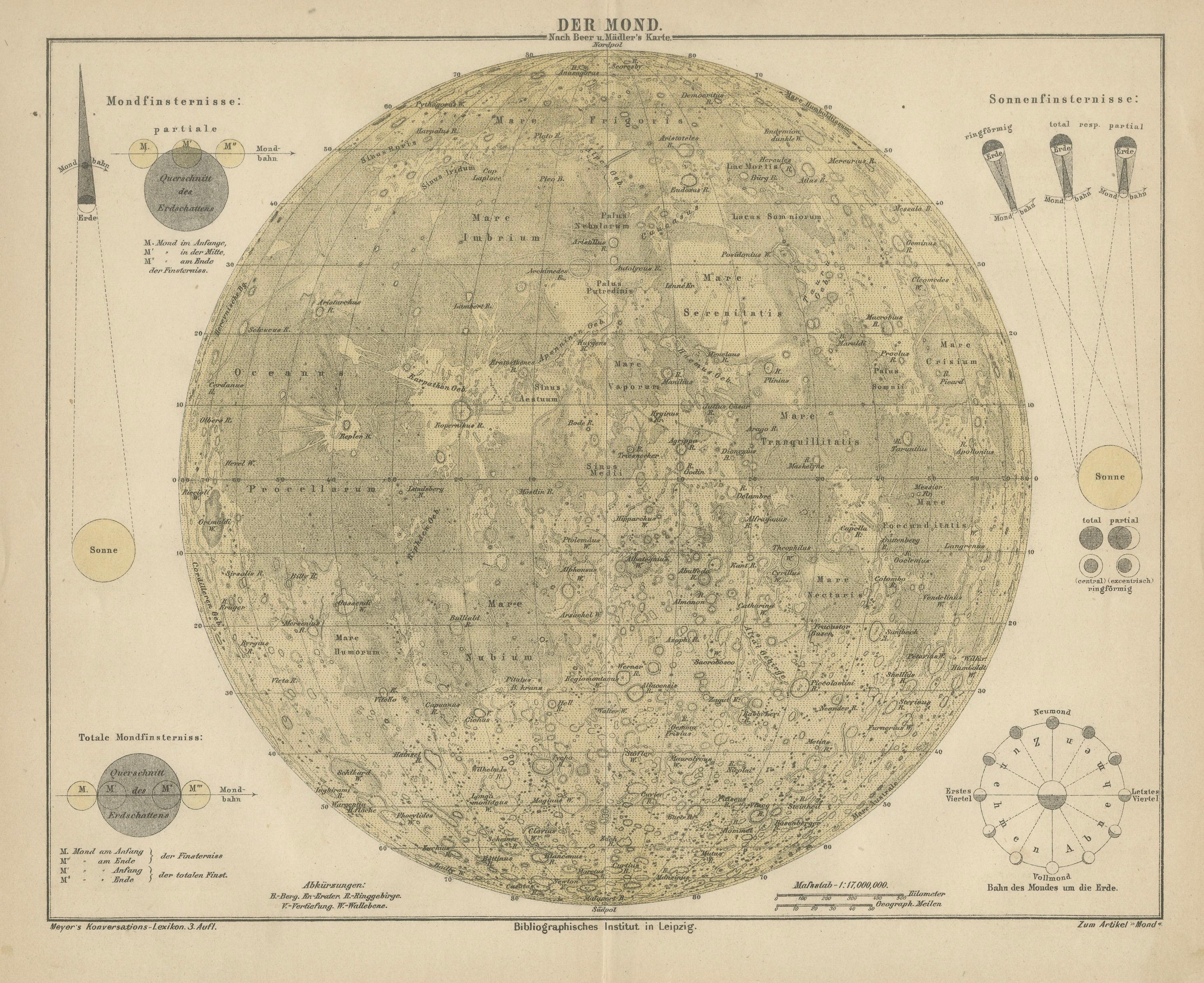
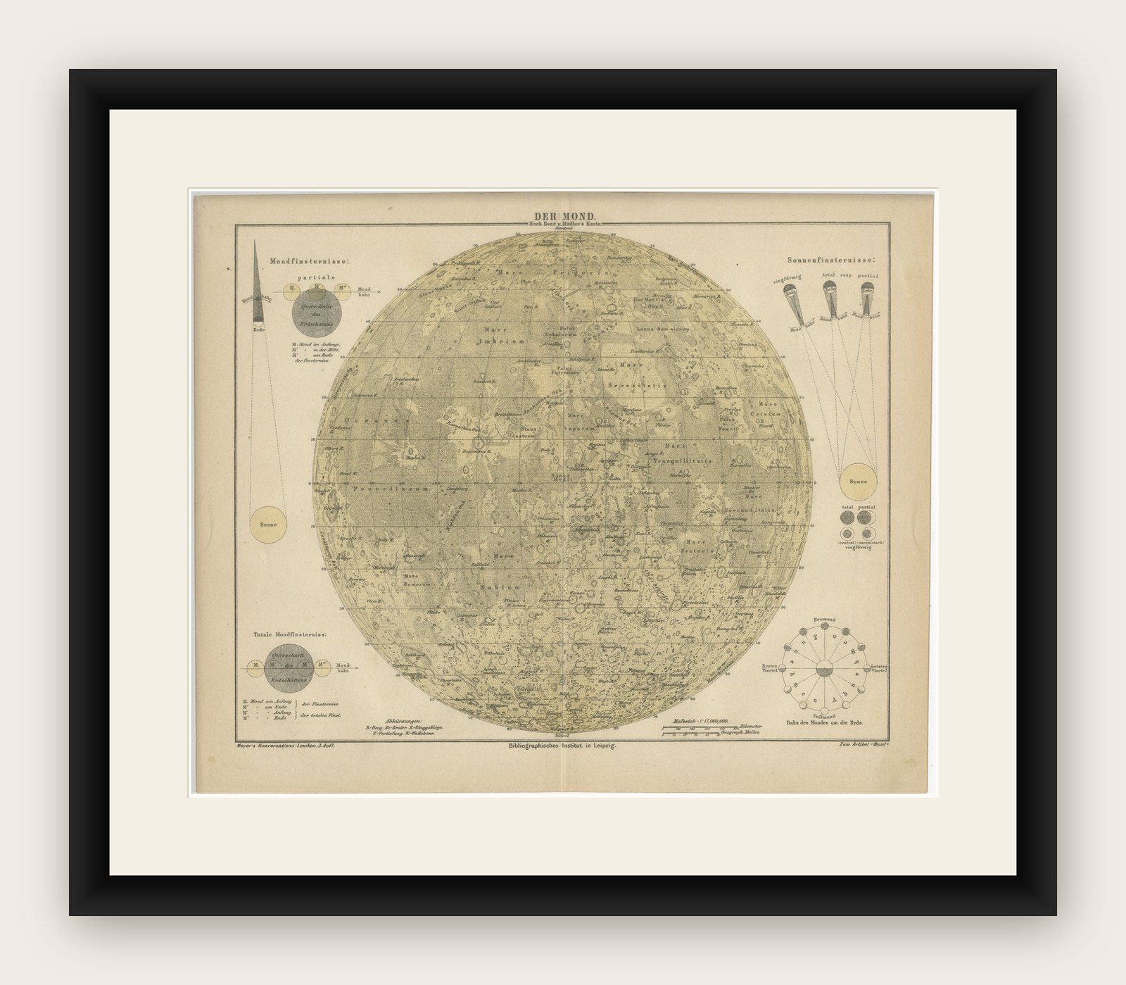
A finely detailed and highly decorative antique lunar chart titled “Der Mond” (The Moon), published in Meyers Konversations-Lexikon in Leipzig around 1900. This impressive scientific plate presents a comprehensive mapped view of the lunar surface, combining cartographic precision with the refined aesthetic typical of late 19th-century German chromolithography.
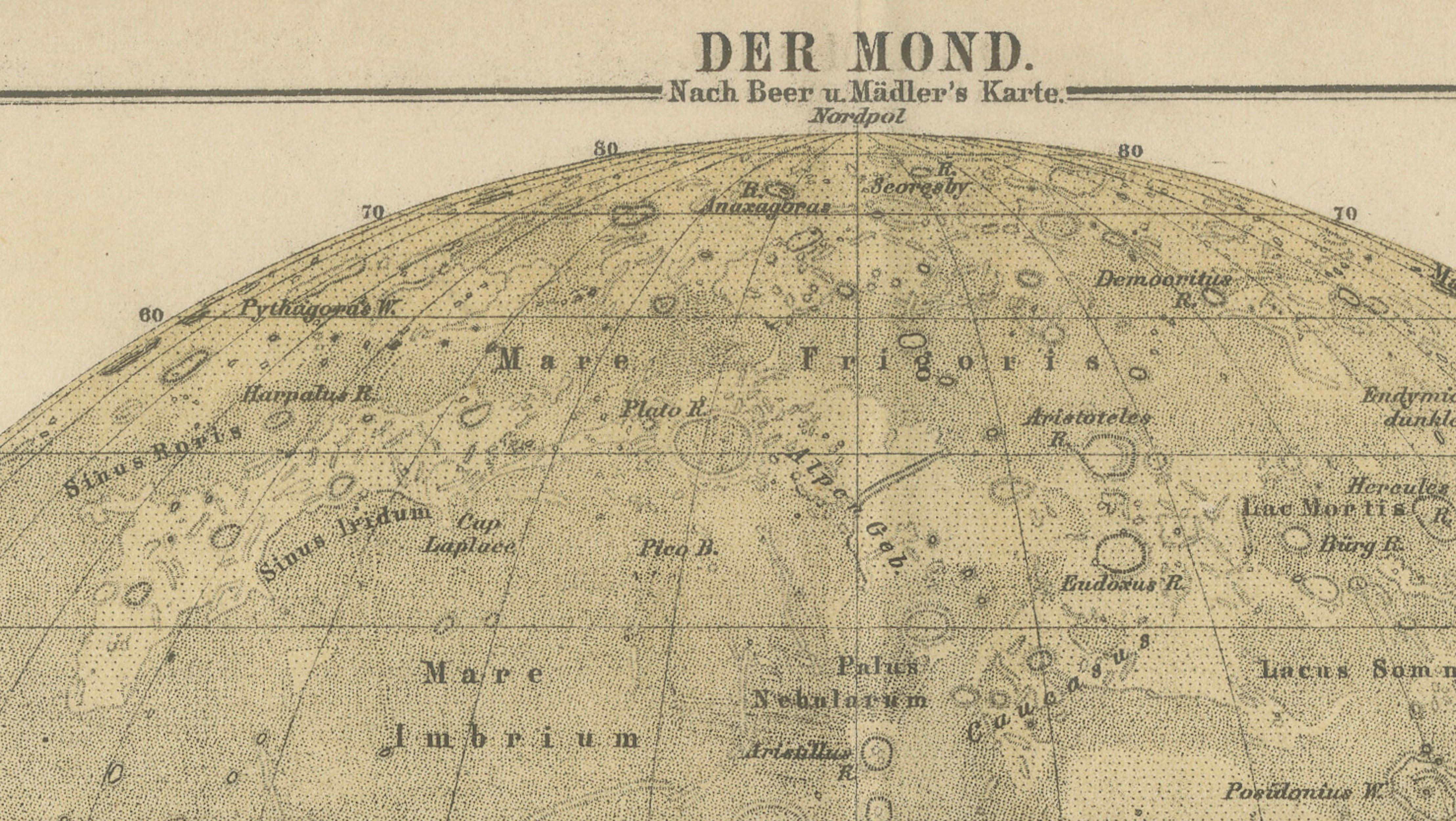
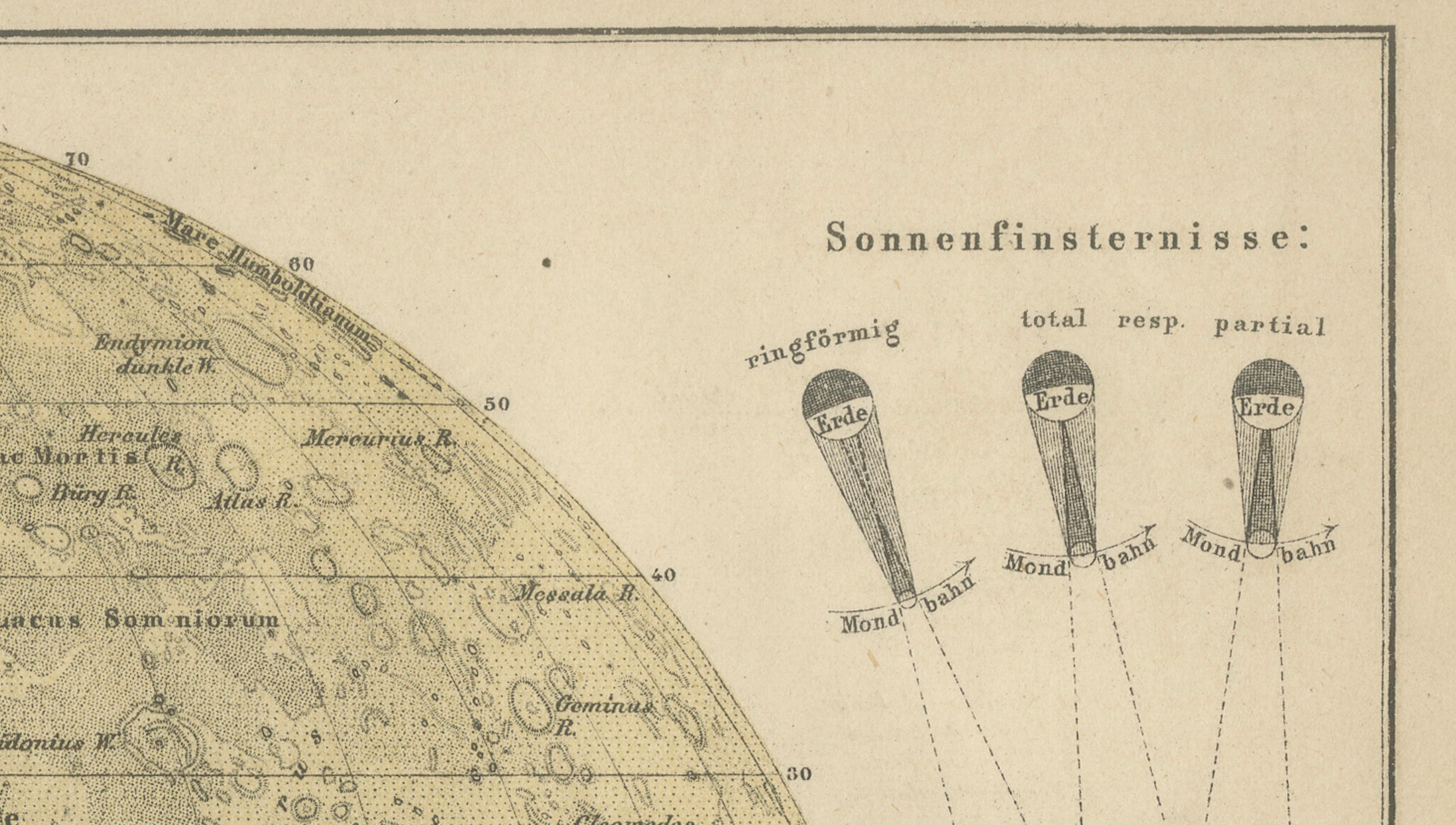
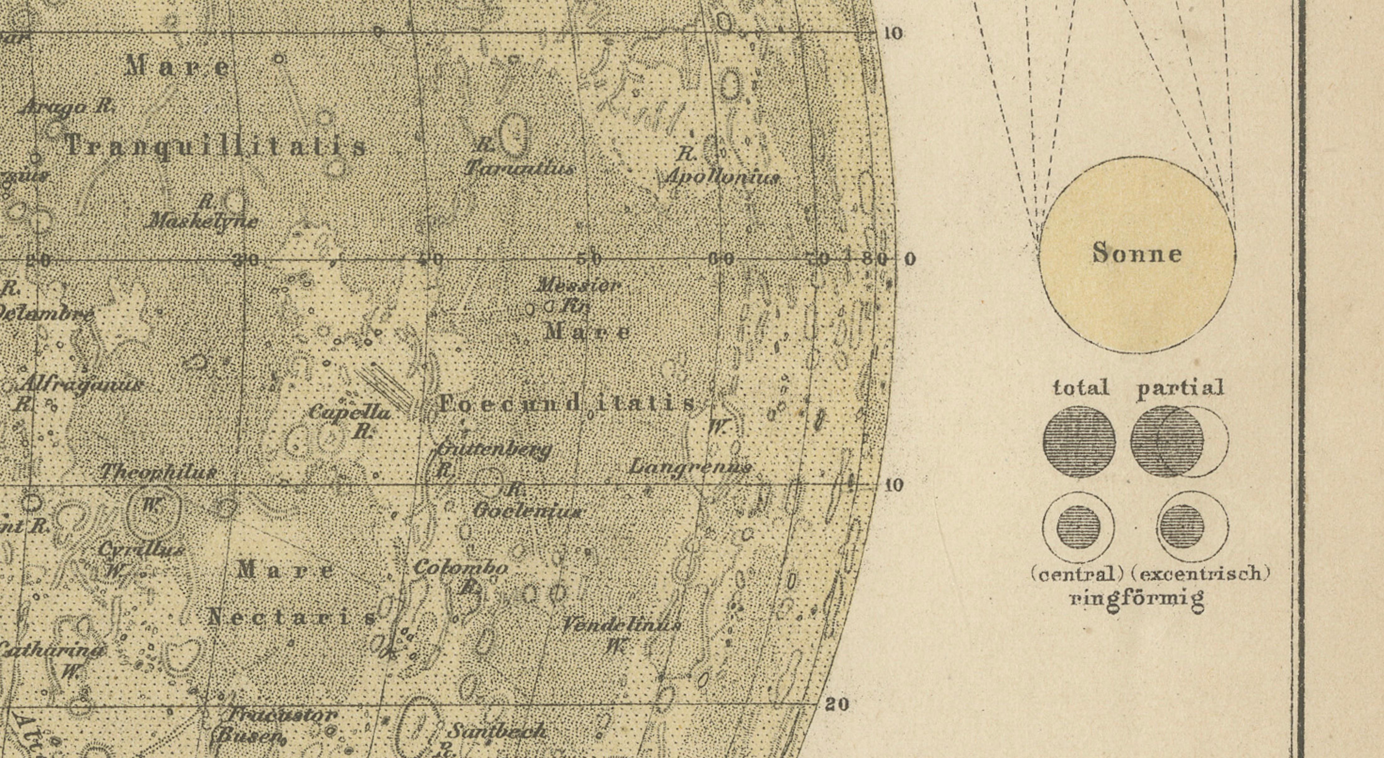
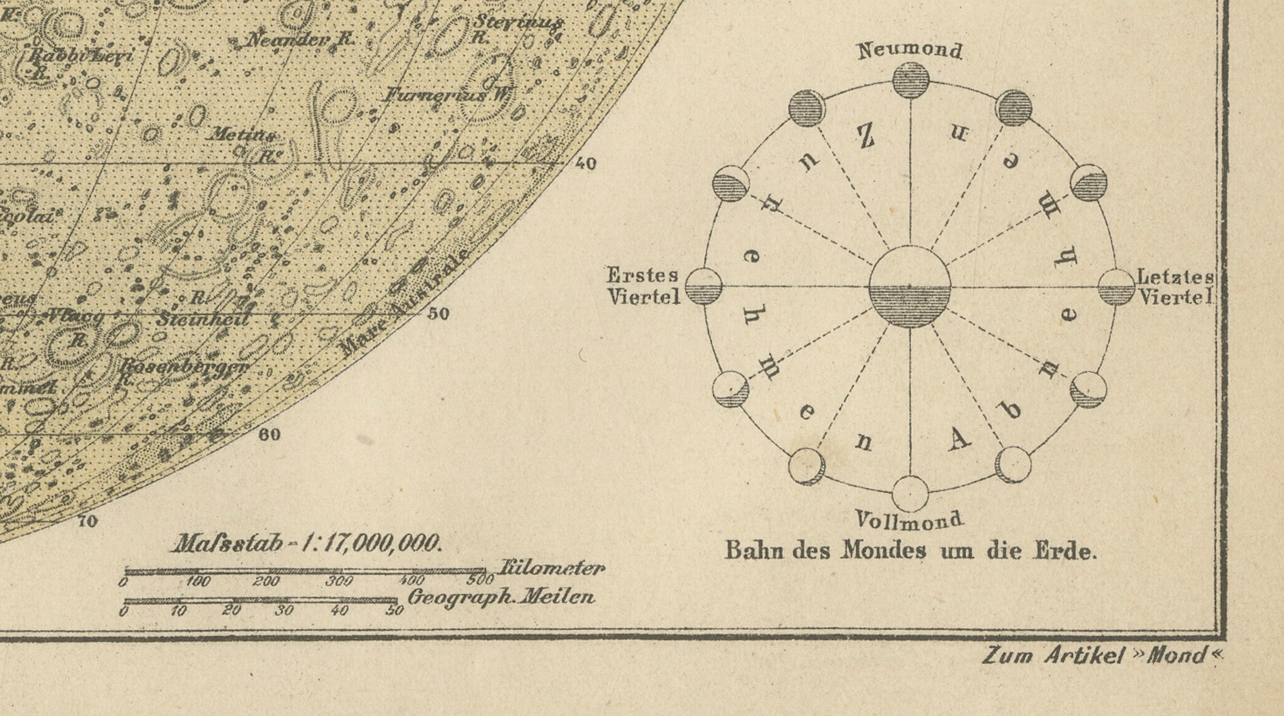
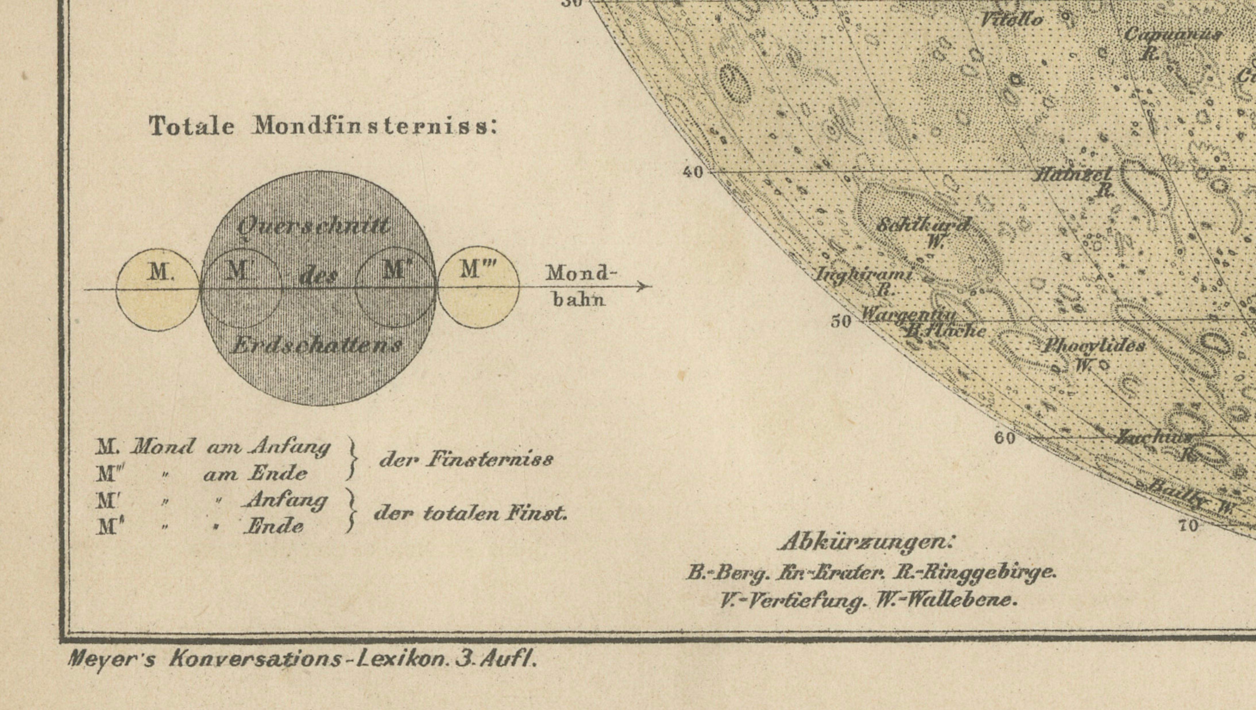
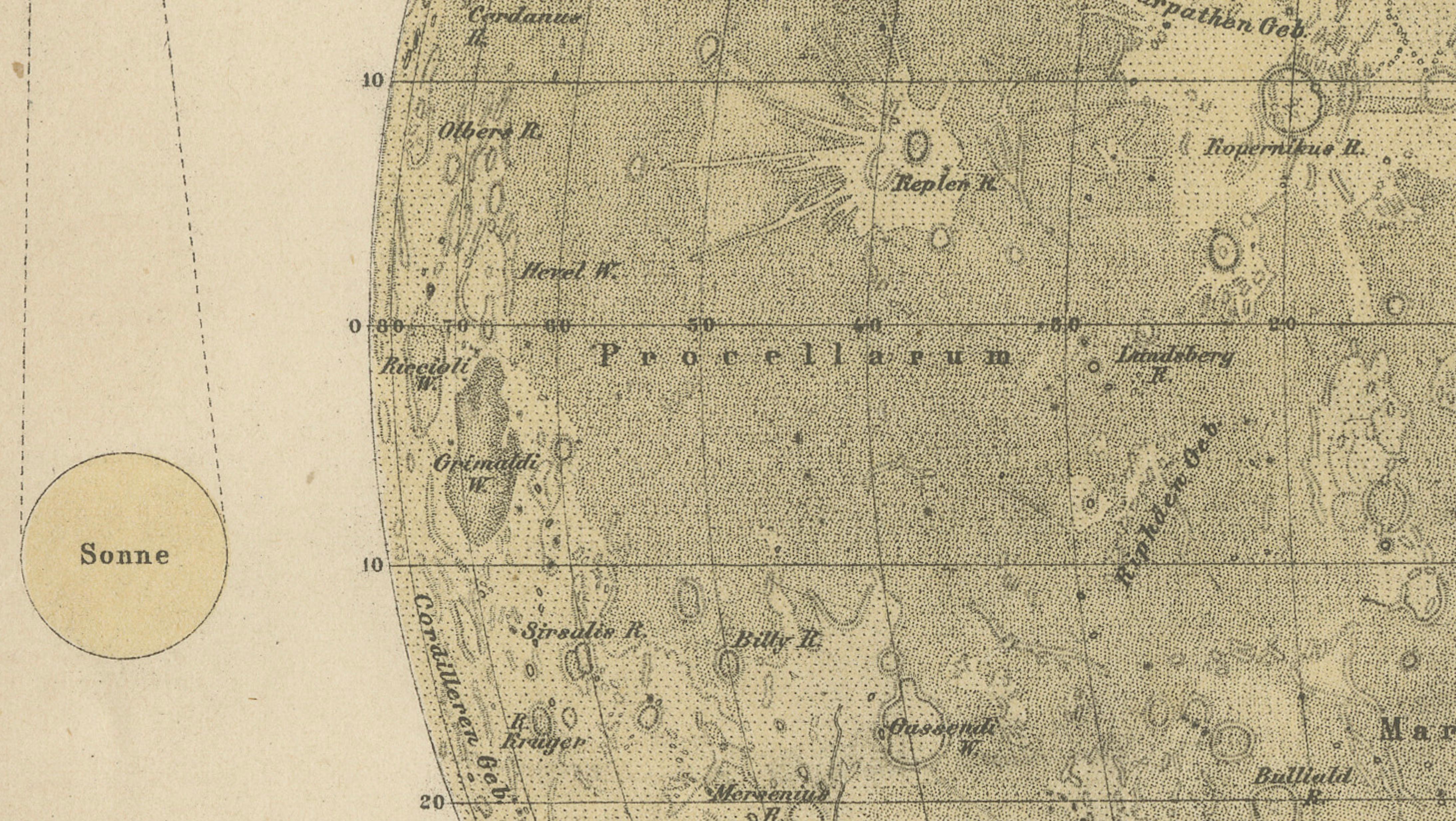
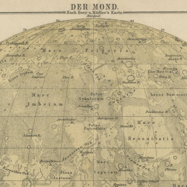
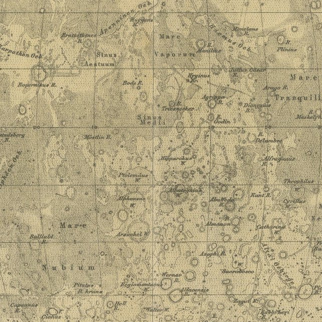
The central feature is a large, meticulously rendered circular map of the Moon, showing an extraordinary level of detail. Craters, maria, mountain ranges, and other lunar formations are carefully labeled, reflecting the state of astronomical knowledge of the period. The chart is based on the work of leading lunar observers such as Beer and Mädler, whose systematic mapping of the Moon in the 19th century laid the groundwork for modern selenography.
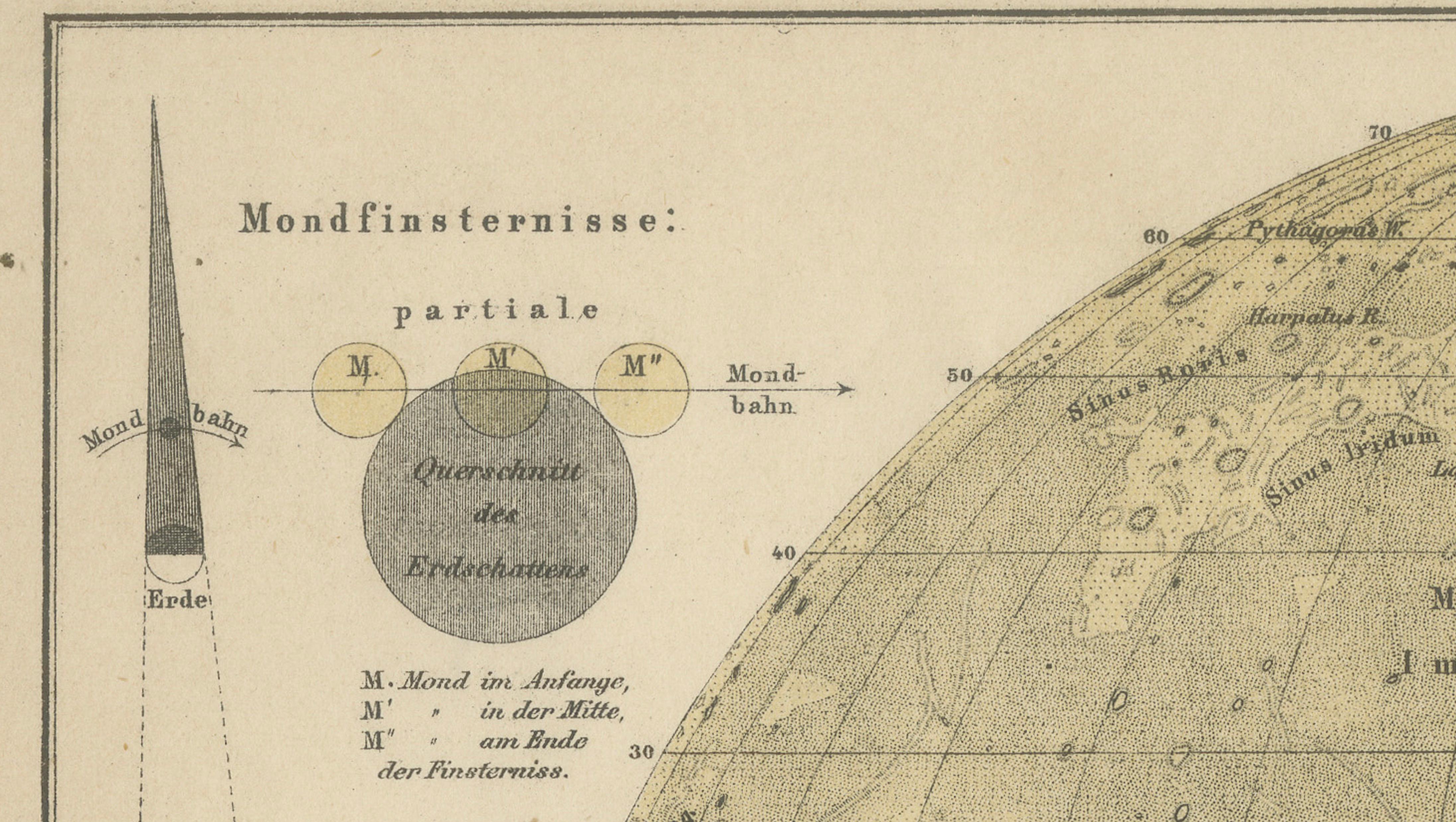
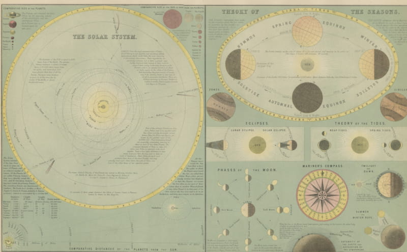
Surrounding the main lunar map are additional scientific diagrams illustrating celestial phenomena, including lunar and solar eclipses, the phases of the Moon, and the orbital relationship between the Earth, Moon, and Sun. These smaller diagrams enhance the educational value of the piece, making it not only a visual centerpiece but also a complete scientific study of lunar observation as understood at the time.
The restrained palette of warm sepia tones, combined with the precise linework, gives the print a timeless and sophisticated character. It bridges the worlds of science and art, making it particularly appealing to collectors of astronomical material, historical maps, and decorative prints with intellectual depth.
As part of Meyers Konversations-Lexikon, one of the most important encyclopedic publications of its era, this chart reflects a period when scientific knowledge was widely disseminated through beautifully crafted illustrations. Today, it stands as both a historical document and an elegant decorative object.
Condition report: Good condition overall with even age toning and light spotting consistent with age. A central fold line is present as issued, typical for bound encyclopedia plates. The print remains clear and well-preserved, with all details sharp and legible.
Framing tips: This piece benefits from a wide ivory or museum-white mat to balance the strong central composition. A dark walnut or ebonized wood frame enhances the contrast and gives it a museum-quality presence. In a more contemporary setting, a slim black or bronze frame can provide a refined and understated look.
Special note: This is an original early 19th century print, not a reproduction. The print is sold unframed; any framed images are shown for presentation and interior inspiration only and may not always be to scale.