Maps & PrintsBartele Gallery · Langweer
Home / Antique Maps / Europe / Western Europe / Germany

Antique Maps of Germany

4 original sheets
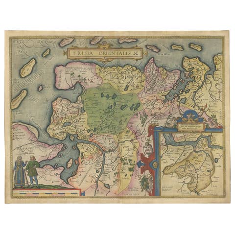
Map of East Frisian Islands & Northwestern Tip of Germany, Ostfriesland, c.1595
1595 · € 1 750
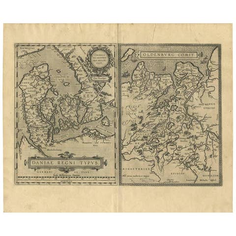
Daniae Regni & Oldenburg – Antique Maps of Denmark and Saxony by Ortelius, 1598
1598 · € 821
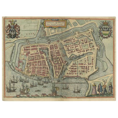
Antique Town Plan of Emden ‘Germany’ by Braun & Hogenberg, 1597
1597 · € 850
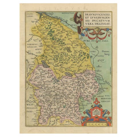
Duchy of Brunswick-Lüneburg, 1595: A Renaissance Cartographic Masterpiece
1595 · € 350

Your favorites

Saved in this browser. Email the list to yourself to keep it on any device.

We use your email to send this list and, only if you tick the box and confirm, for occasional new arrivals. Every email has an unsubscribe link. Bartele Gallery, the Netherlands.

Powered by SiteKeys