Antique Maps of France
575 original sheets
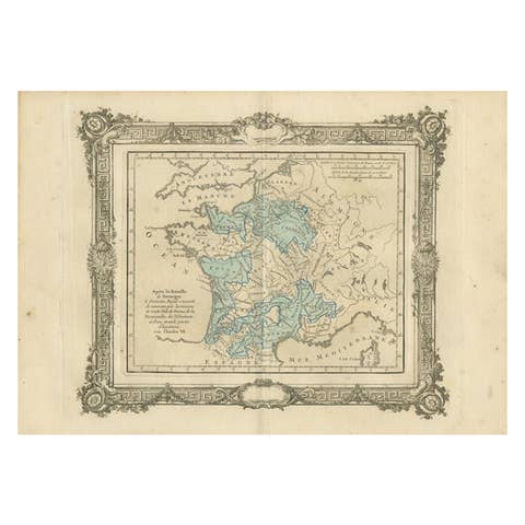
Antique Map of France under the reign of Charles VII by Zannoni, 1765
1765 · € 148
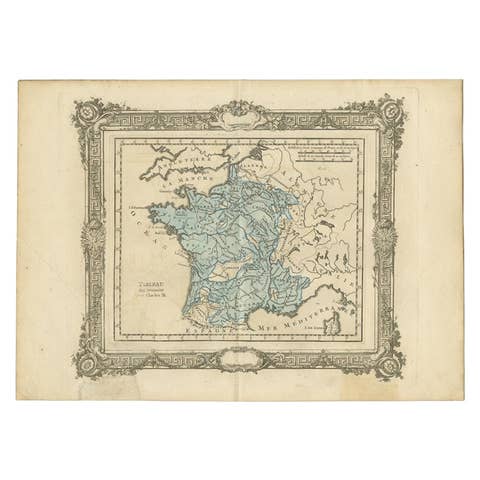
Antique Map of France under the Reign of Charles IX by Zannoni, 1765
1765 · € 125
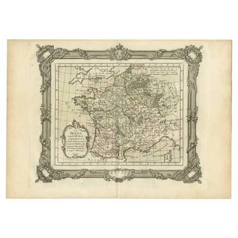
Antique Map of France in the 7th Century by Zannoni, 1765
1765 · € 159
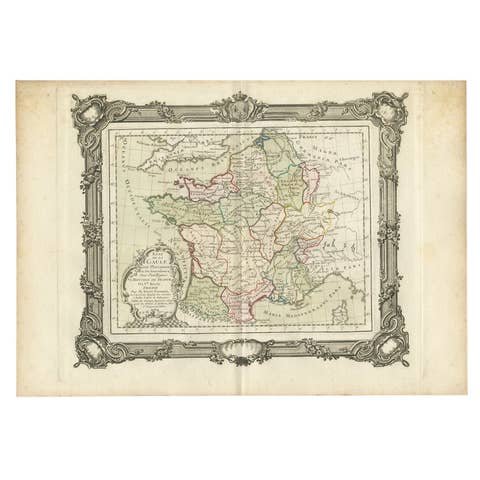
Antique Map of France in the 5th Century by Zannoni, 1765
1765 · € 159
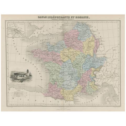
Antique Map of France in Ancient Roman Times, 1880
1880 · € 190
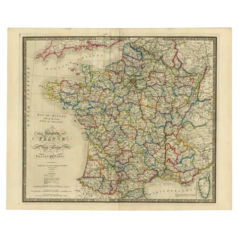
Antique Map of France according to the Treaty of Paris '1815', Published in 1854
1815 · € 770

Antique Map of France by British Mapmaker Wells, c.1710
1710 · € 360

Antique Map of France with Beautiful Title Cartouche and Border, c.1740
1740 · € 450
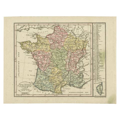
Antique Map of France with an Inset Map of the Island of Corsica, c.1820
1820 · € 180
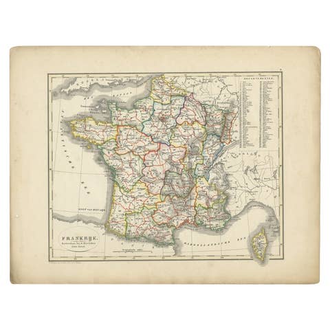
Antique Map of France from an Old Dutch School Atlas, 1852
1852 · € 120
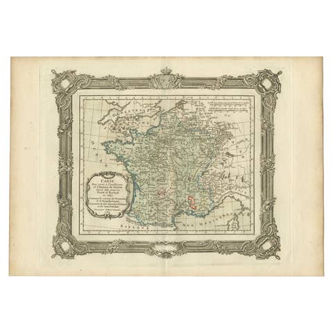
Antique Map of France up-to the Peace of Ryswick by Zannoni, 1765
1765 · € 150
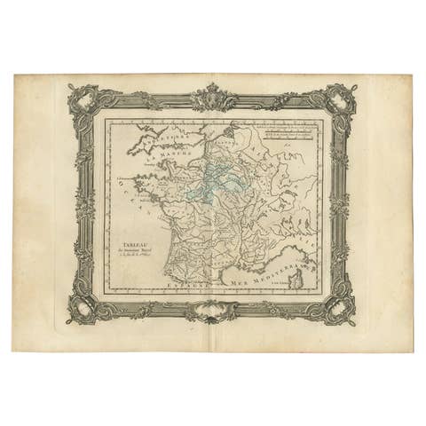
Antique Map of France under the Second Race by Zannoni, 1765
1765 · € 150
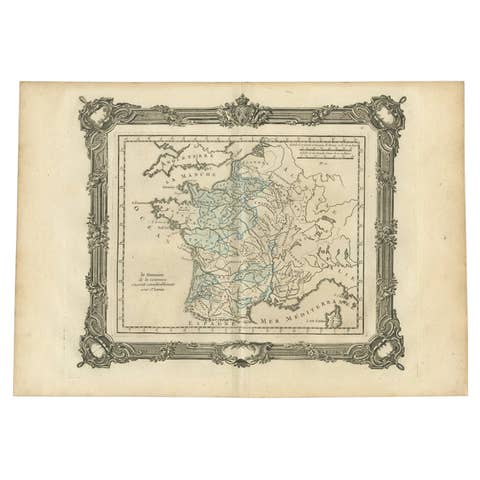
Antique Map of France under the Reign of St. Louis by Zannoni, 1765
1765 · € 150
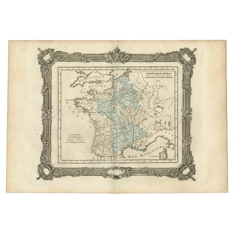
Antique Map of France under the Reign of Philip VI by Zannoni, 1765
1765 · € 150
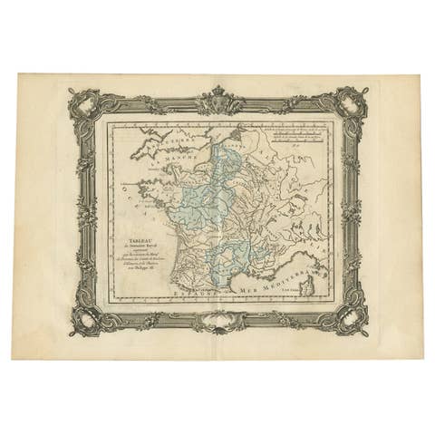
Antique Map of France under the Reign of Philip III by Zannoni, 1765
1765 · € 148
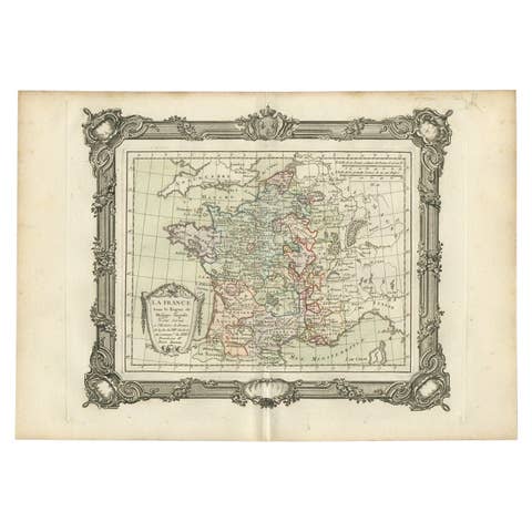
Antique Map of France under the Reign of Philip II by Zannoni, 1765
1765 · € 157
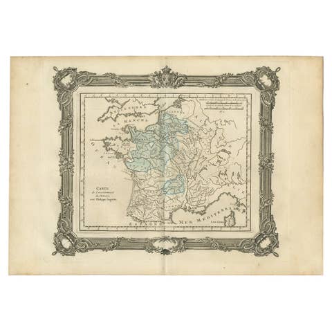
Antique Map of France under the Reign of Philip II by Zannoni, 1765
1765 · € 148
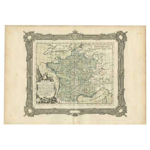
Antique Map of France under the Reign of Louis XV by Zannoni, 1765
1765 · € 159
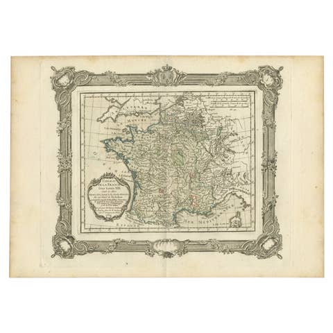
Antique Map of France under the Reign of Louis XIII by Zannoni, 1765
1765 · € 155
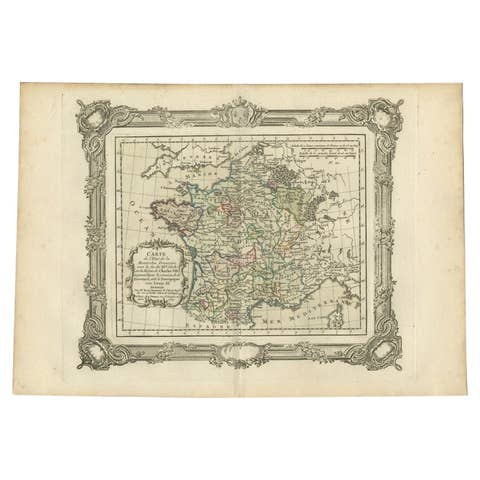
Antique Map of France under the Reign of Louis XI by Zannoni, 1765
1765 · € 155
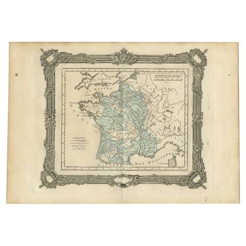
Antique Map of France under the Reign of Louis XI by Zannoni, 1765
1765 · € 148
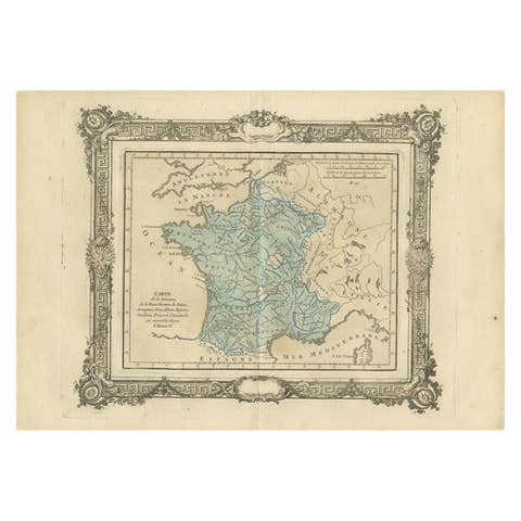
Antique Map of France under the Reign of Henry IV by Zannoni, 1765
1765 · € 153
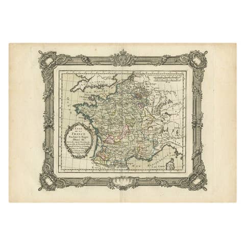
Antique Map of France under the Reign of Henry III by Zannoni, 1765
1765 · € 153
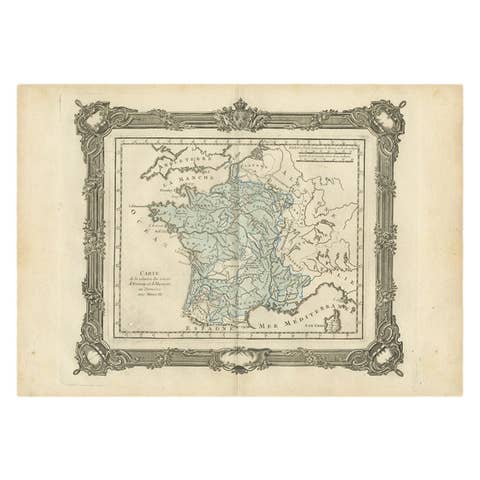
Antique Map of France under the reign of Henry III by Zannoni, 1765
1765 · € 148
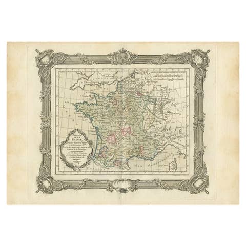
Antique Map of France under the Reign of Henry and Francois II by Zannoni, 1765
1765 · € 159

Antique Map of France under the Reign of Francois II, 1765
1765 · € 148

Antique Map of France by Zannoni, 1765
1765 · € 520
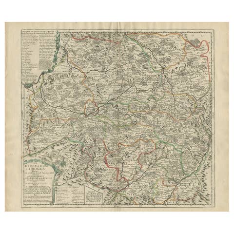
Antique Map of the Limoges Region in France, c.1690
1690 · € 650
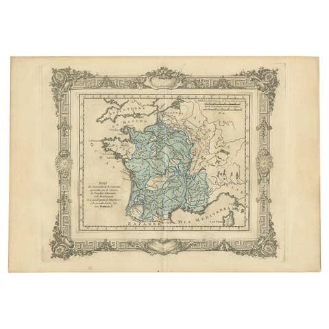
Antique Map of France under the Reign of Francois I, 1765
1765 · € 148
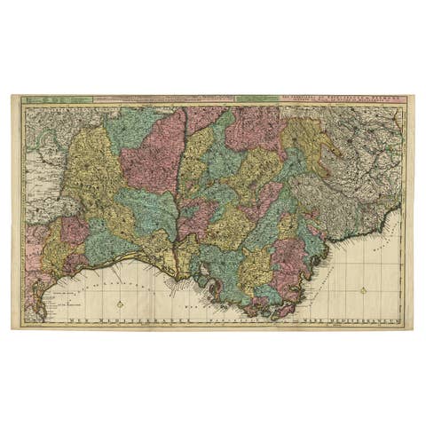
Map of Languedoc-Roussillon and Provence in France and Piedmont in Italy, c1680
€ 2 750

Striking Antique Map of Luxembourg and Northern France 'Lotharingen', c.1680
1680 · € 650
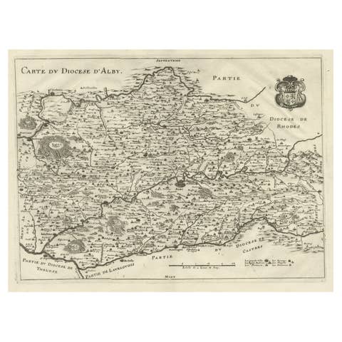
Original Old Copper Engraved Map of the Region of Albi, Southern France, 1663
1663 · € 550
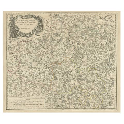
Large Antique Map of the Region of Berry, Nivernois & Bourbonnais, France, 1753
1753 · € 560
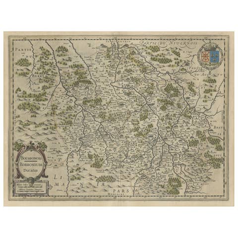
Old Map of the Bourbonnais Region of France, ca.1630
1630 · € 630
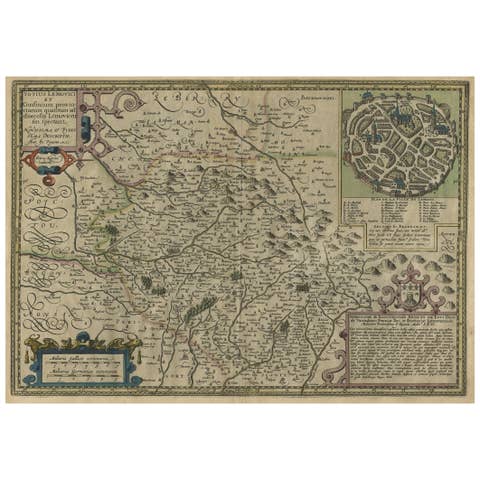
Original Very Old Hand-Colored Map of Limousin or Limoges, France, ca.1600
1600 · € 1 400
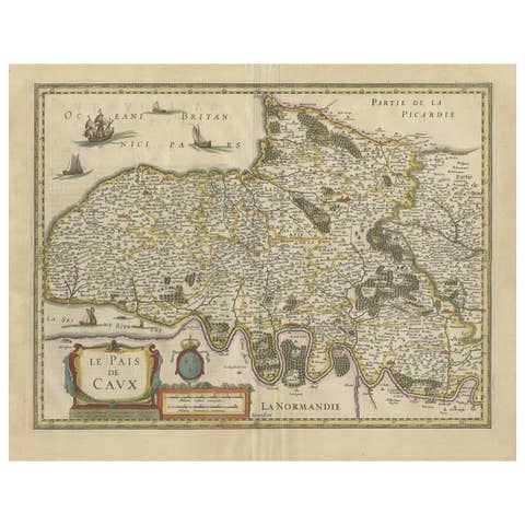
Old Handcolored Antique Map of Pays De Caux in Normandy, France, ca.1640
1640 · € 1 350
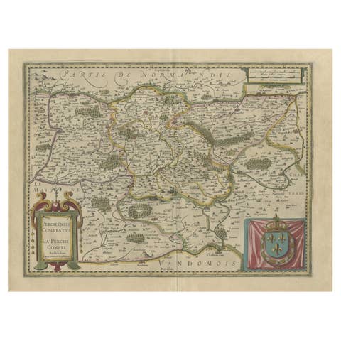
Old Original Handcolored Map of the Former Province of Perche, France, ca.1640
1640 · € 720
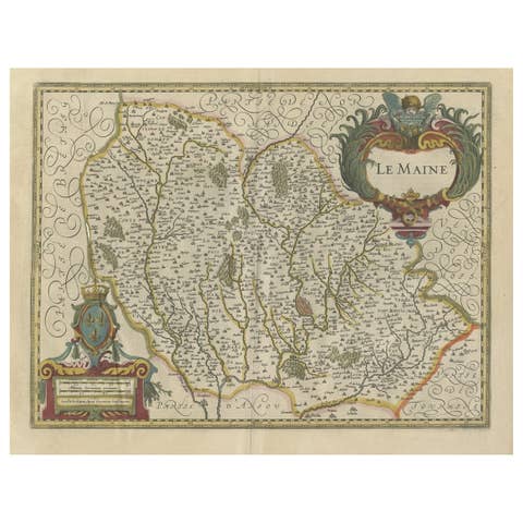
Antique Map of the French Province Maine, Showing Le Mans, Alencon Etc., Ca1640
€ 550
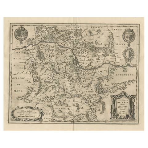
Old Map Focusing on the Wine Region of Metz, the Moselle Region of France, 1657
1657 · € 630
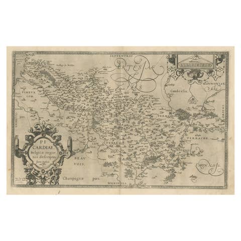
Original Antique Map of the Region of Picardy, France, ca.1602
1602 · € 650
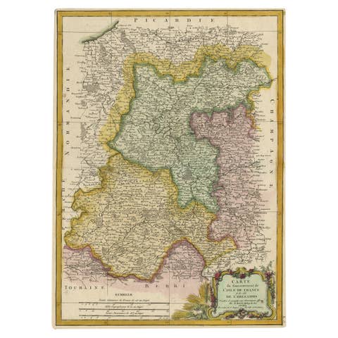
Decorative Rare Map of the French Regions of Isle De France and Orleans, ca.1780
1780 · € 690
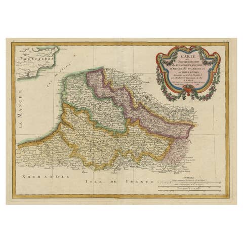
Decorative Map of the French Regions of Picardy, Artois & French Flanders, c1780
€ 690
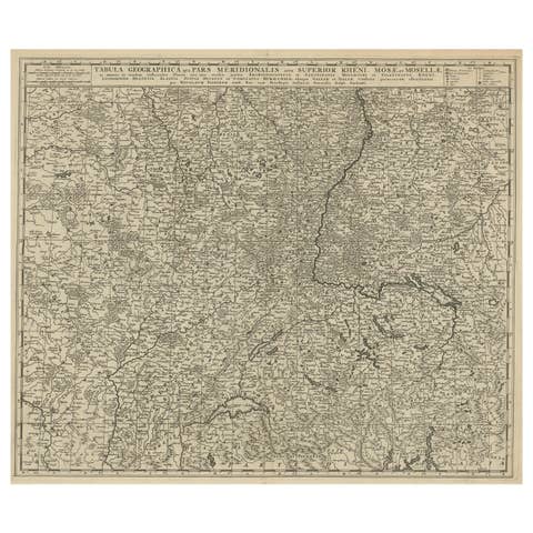
Original Antique Detailed Map of the Rhine and Moselle River Regions, ca.1680
1680 · € 550
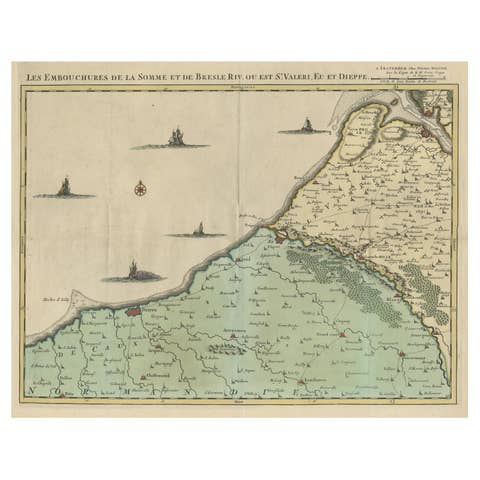
Beautiful Antique Map of the French Coast, from St. Valeri to Dieppe, 1720
1720 · € 1 100
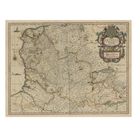
Original Hand-Colored Antique Map of Artois or Artesia, France, ca.1650
1650 · € 340
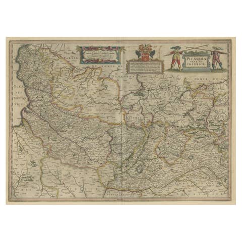
Detailed Original Antique Map of the Picardy Region of France, 1657
1657 · € 490
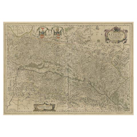
Map of the Alsace, France Incl the Rhine from Phillipsburg to South Basle, c1650
€ 360
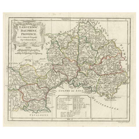
Beautiful Antique Map of Southeastern France with Decorative Cartouche, ca.1790
1790 · € 380