Antique Maps of Europe
1,158 original sheets
Western Europe 1908Northern Europe 146Central Europe 88Eastern Europe 102South-East Europe 135Southern Europe 275Europe as a Whole 169
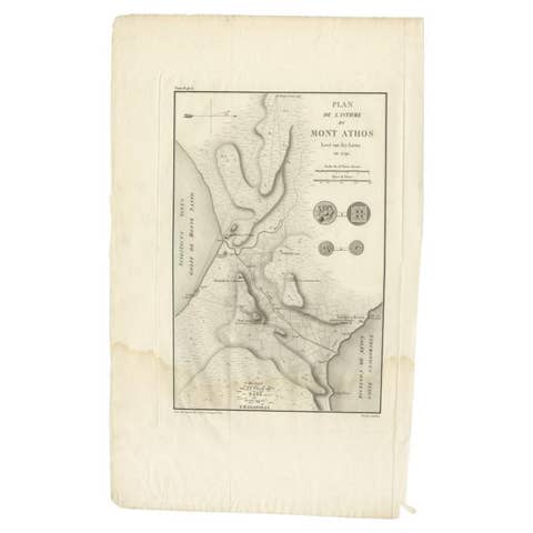
Antique Map of the Isthmus of Mount Athos by Choiseul-Gouffier, 1809
1809 · € 129
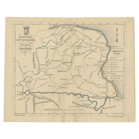
Antique Map of the Oost-Dongeradeel Township by Behrns, 1861
1861 · € 89
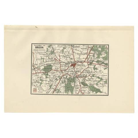
Antique Map of the Region of Breda by Craandijk, 1884
1884 · € 87
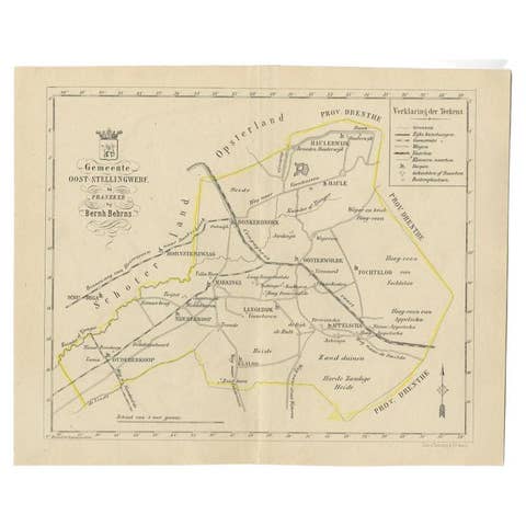
Antique Map of the Oost-Stellingwerf Township by Behrns, 1861
1861 · € 89
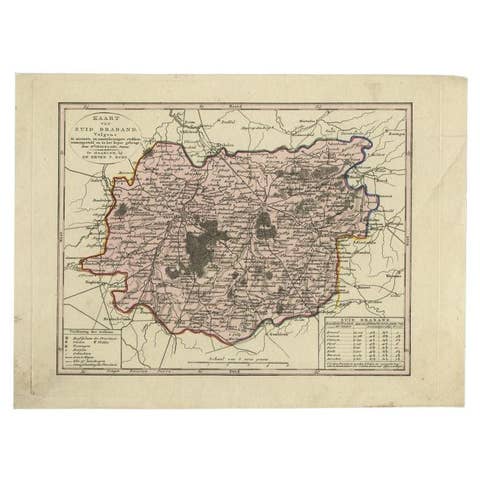
Antique Map of the Province of Brabant in Belgium by Veelwaard, C.1840
1840 · € 120
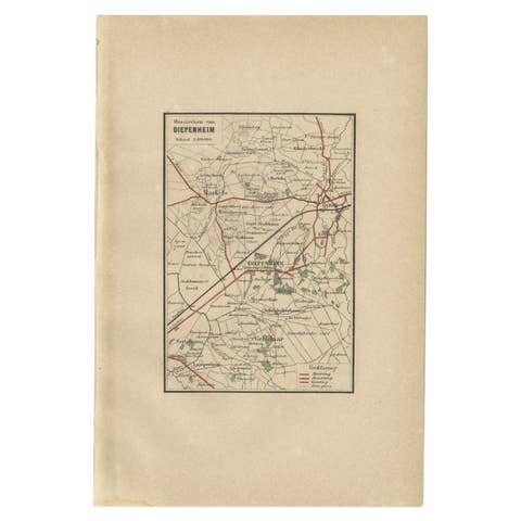
Antique Map of the Region of Diepenheim by Craandijk, 1884
1884 · € 87
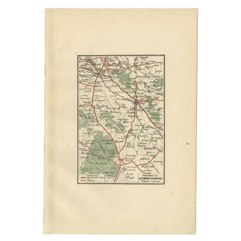
Antique Map of the Region of Doetinchem by Craandijk, 1884
1884 · € 87
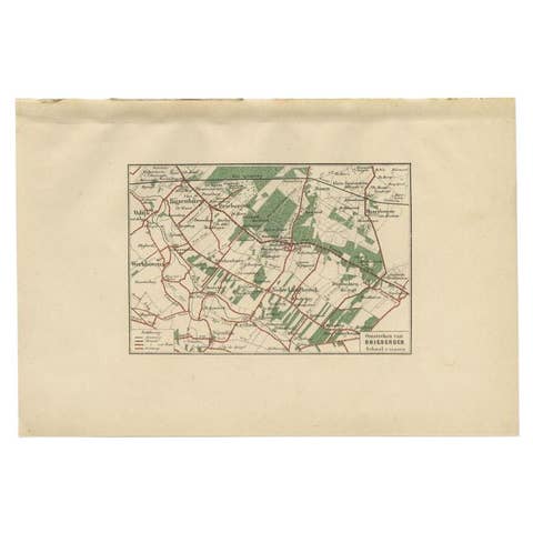
Antique Map of the Region of Driebergen by Craandijk, 1884
1884 · € 87
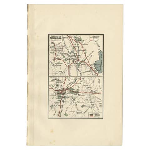
Antique Map of the Region of Paterwolde and Assen by Craandijk, 1884
1884 · € 87
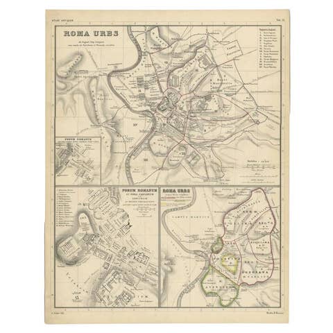
Detailed Original Antique Map of the Region of Rome in Italy, c.1870
1870 · € 240

Antique Map of the Region of 's-Graveland by Kuyper, c.1870
1870 · € 80
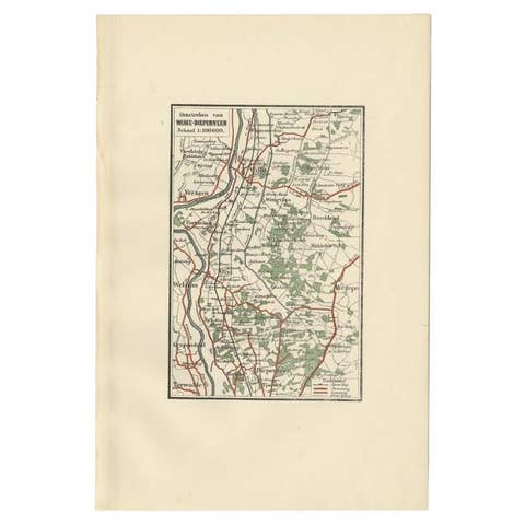
Antique Map of the Region of Wijhe-Diepenveen by Craandijk, 1884
1884 · € 87
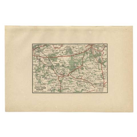
Antique Map of the Region of Zutphen by Craandijk, 1884
1884 · € 87
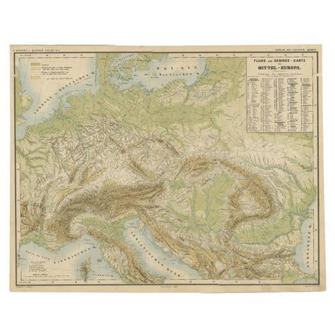
Nice Colorful Antique Map of the Rivers and Mountains of Europe c.1870
1870 · € 240
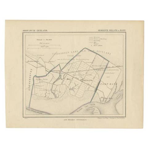
Antique Map of the Region of Rilland and Maire, Zeeland, the Netherlands, 1866
1866 · € 160

Antique Map of the Indre Region in France, ca. 1852
1852 · € 225
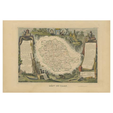
Antique Map of the Department De Tarn, 'France' by v. Levasseur, c. 1852
1852 · € 225
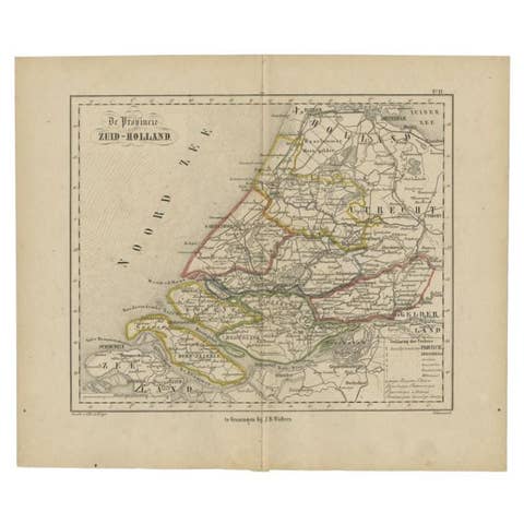
Original Antique Map of Zuid-Holland by Brugsma, 1864
1864 · € 83
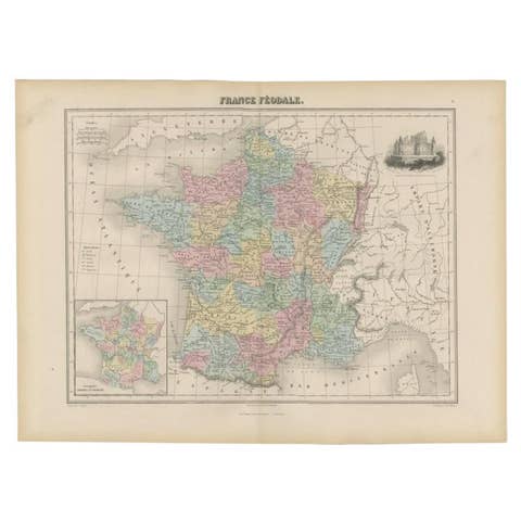
Antique Political Map of France, 1880
1880 · € 120
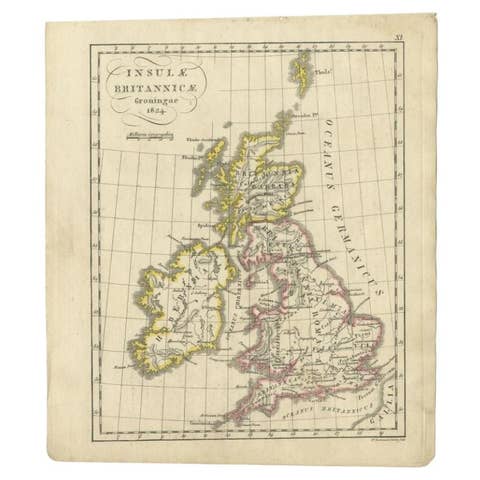
Antique Map of the United Kingdom and Ireland, circa 1825
1825 · € 140

Antique 1842 Map of Turkey and Greece by Pierre M. Lapie, 68x50.5 cm
1842 · € 248
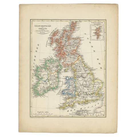
Antique Map of the United Kingdom and Ireland, 1852
1852 · € 130
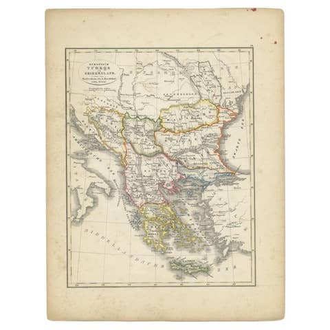
Antique Map of Turkey and Greece, 1852
1852 · € 120
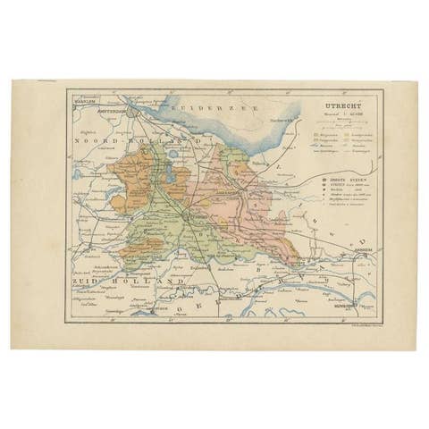
Antique Map of Utrecht in The Netherlands, 1883
1883 · € 220
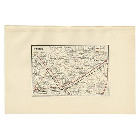
Antique Map of the Region of Twente, in The East of The Netherlands, 1884
1884 · € 160
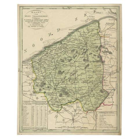
Antique Map of West Flanders in Belgium, c.1840
1840 · € 290

Original Antique Map of West Europe, circa 1870
1870 · € 169
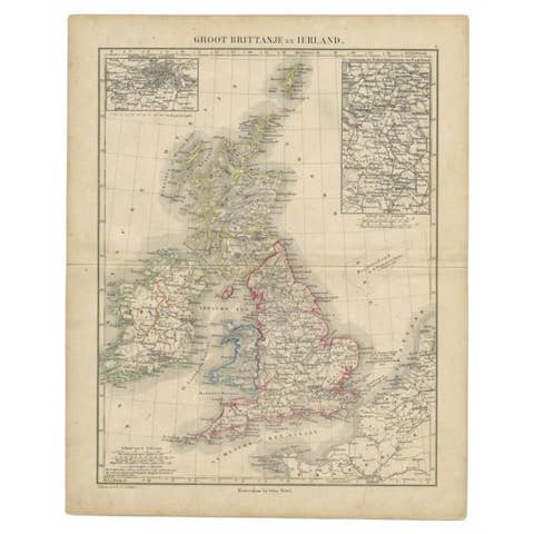
Antique Map of the United Kingdom and Ireland, c.1873
1873 · € 125

Antique Map of Turkey and Greece by Petri, c.1873
1873 · € 120
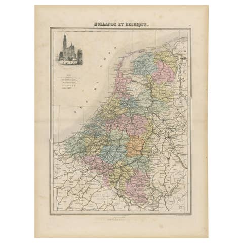
Antique Map of the Netherlands and Belgium, circa 1880
1880 · € 190
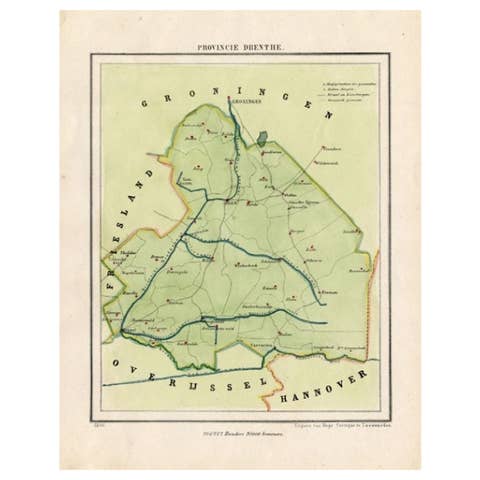
Antique Map of The Province of Drenthe in the Northern Netherlands, 1865
1865 · € 220
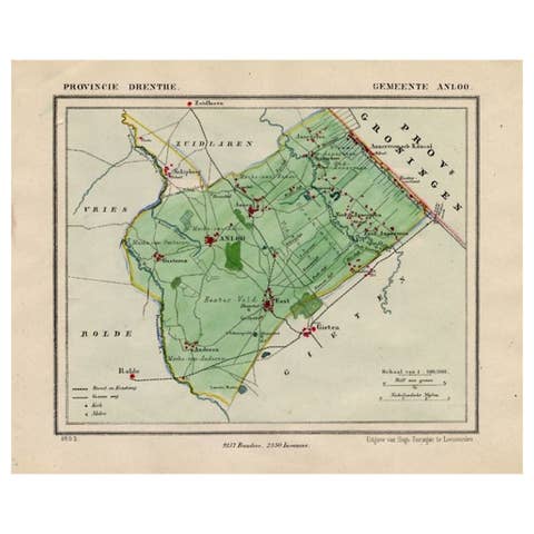
Antique Map of the Township of Anloo in the Netherlands, 1865
1865 · € 140
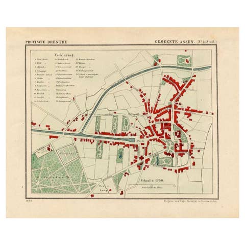
Antique Map of the City of Assen in The Netherlands, 1865
1865 · € 290
Original Antique Map of the Township of Beilen in the Netherlands, 1865
1865 · € 190
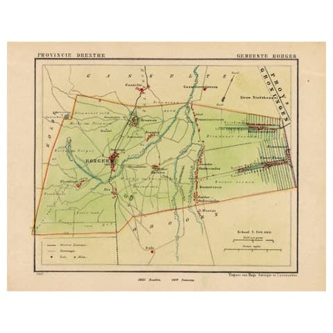
Original Antique Map of the Township of Borger in The Netherlands, 1865
1865 · € 180
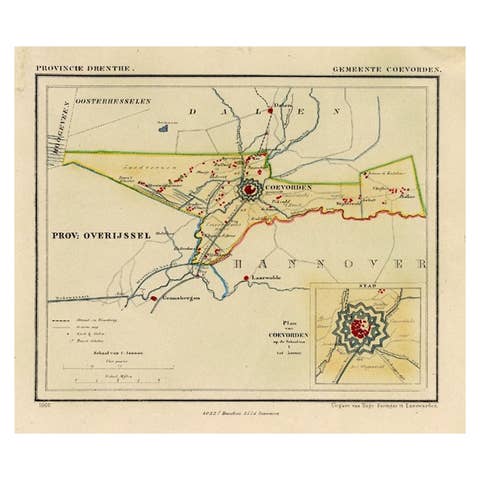
Antique Map of the Township of Coevorden in The Netherlands, 1865
1865 · € 150
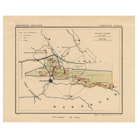
Antique Map of the Township of Dalen, Schoonebeek in The Netherlands, 1865
1865 · € 170
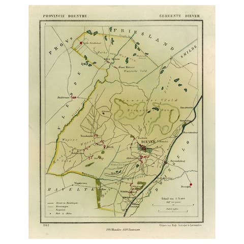
Antique Map of the Township of Diever, Drenthe in The Netherlands, 1865
1865 · € 140
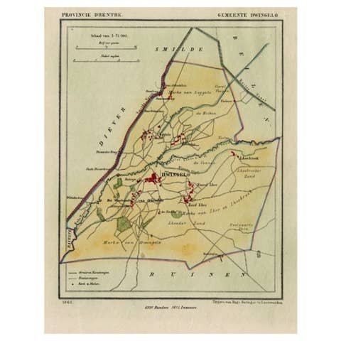
Antique Map of the Township of Dwingelo in The Netherlands, 1865
1865 · € 170
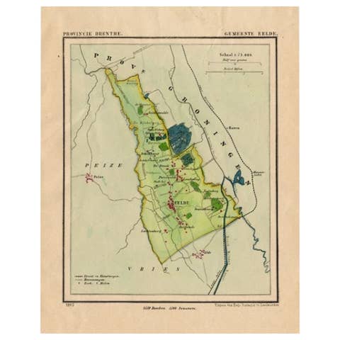
Antique Map of the Township of Eelde in Drenthe, The Netherlands, 1865
1865 · € 180
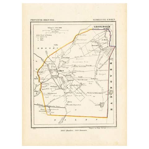
Antique Map of the Township of Emmen, Drenthe in The Netherlands, 1865
1865 · € 170
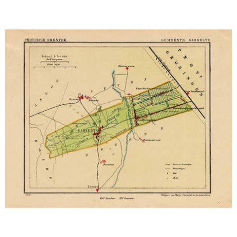
Antique Map of the Township of Gasselte in The Netherlands, 1865
1865 · € 130
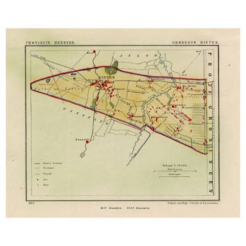
Antique Map of the Township of Gieten in the Netherlands, 1865
1865 · € 190
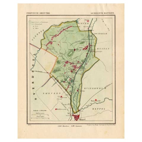
Antique Map of the Township of Havelte in The Netherlands, 1865
1865 · € 190
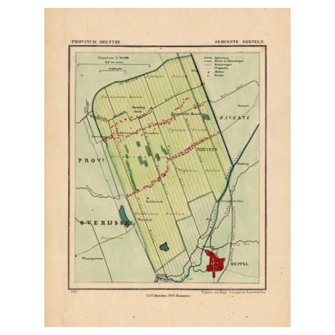
Antique Map of the Township of Nijeveen in The Netherlands, 1865
1865 · € 190
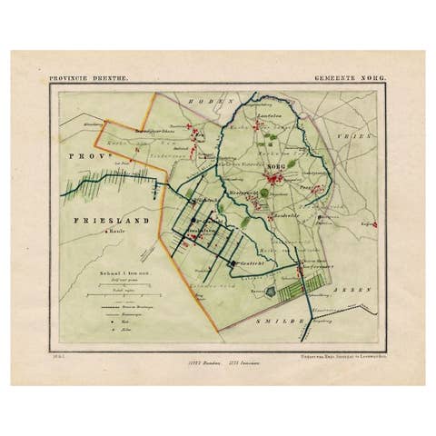
Antique Map of the Township of Norg in Drenthe, the Netherlands, 1865
1865 · € 190
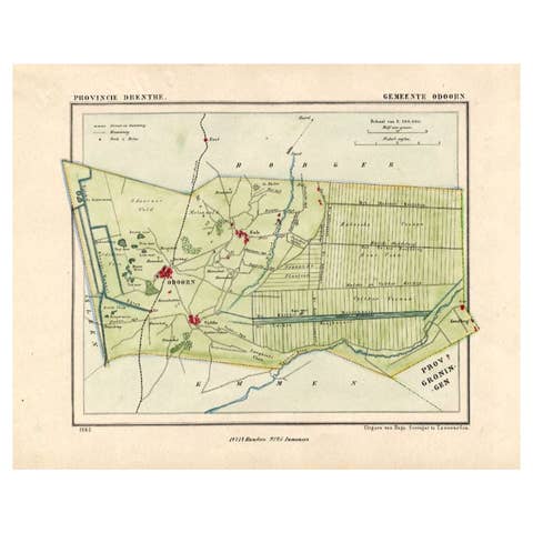
Antique Map of the Township of Odoorn in the Netherlands, 1865
1865 · € 190
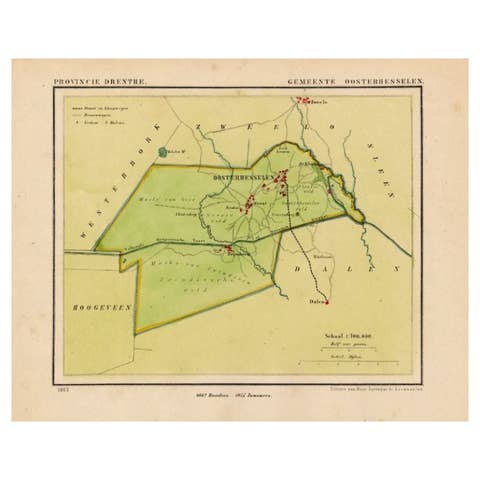
Antique Map of the Township of Oosterhesselen in the Netherlands, 1865
1865 · € 190