The History of the Royal Canadian Mounted Police, Published in 1966
€ 900
Original antique · The actual sheet photographed · Certificate of authenticity on request · Sold unframed · Worldwide shipping from € 15 (rates)
Date
1966
Sheet size
48.5 × 69.3 cm (19.1 × 27.3 in)
Condition
Good
What the condition grades mean
Excellent
Bright and clean, with no faults worth mentioning.
Very good
Only light signs of age, such as faint toning.
Good
Normal signs of age for a sheet of this period: toning, some foxing, small marks or neat old repairs.
Fair
Clear faults such as staining, tears or repairs, priced to match.
Every fault we see is written in the condition note, and the whole sheet is shown uncropped in the photos.
Condition
Very good. There are a few tiny creases and minor spots in the blank margins, otherwise fine.
About this sheet
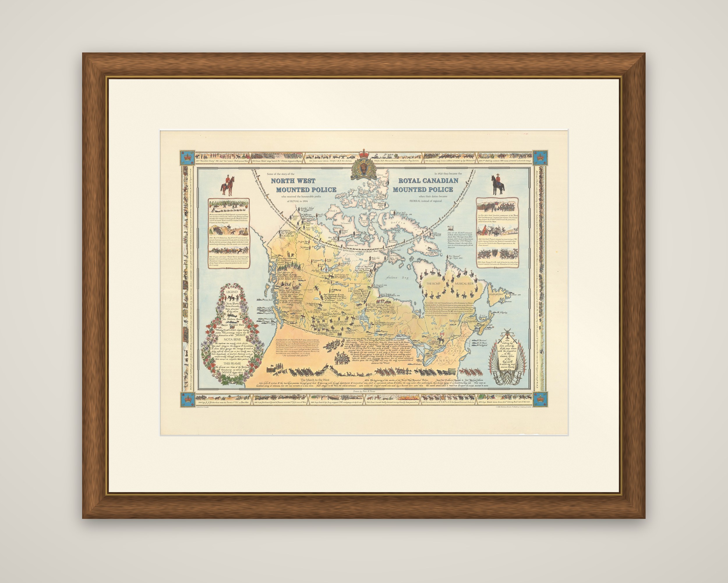
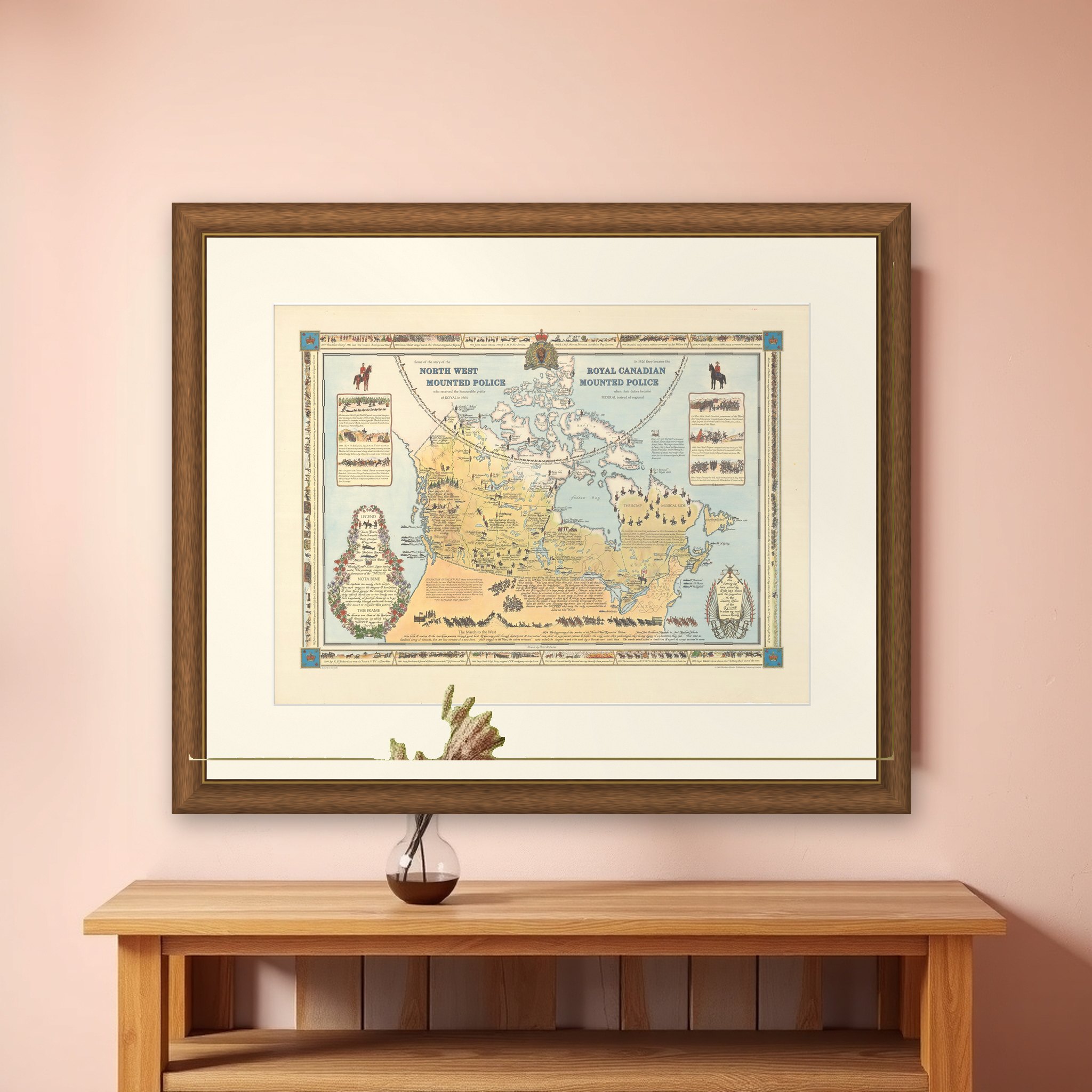
A pictorial map of Canada celebrating the history of the Royal Canadian Mounted Police, drawn by Peter R. Furse and published in 1966 by Maclean-Hunter Publishing Company Limited. The map was produced with the cooperation of the RCMP, as acknowledged in a cartouche at lower right. Its headings explain the story: the North West Mounted Police received the prefix Royal in 1904, and became the Royal Canadian Mounted Police in 1920 when their duties became federal instead of regional.
Canada is drawn in warm yellow against pale blue seas, filled with small scenes of Mounties in action and long notes on the force's history. The RCMP Musical Ride gallops across northern Quebec, chains of dog sled teams mark the Arctic Circle, and the force's badge crowns the map at top center. A legend at lower left, wreathed in native flora, identifies forts, posts, detachments, air and marine division bases, and "whiskey forts". Vignettes of important events appear at left and right and along the border, and a decorative band of small scenes frames the sheet.
Furse (1901 to 1970), born in England, settled in New Brunswick in 1962 and made pictorial maps in a style that joins twentieth-century graphic design to the elegance of earlier mapmaking.