Castellón de la Plana 1901: A Cartographic Perspective of the Valencian Coast
€ 420
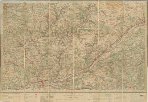
One of a kind: this is the sheet in the photographs. Ships from Langweer, the Netherlands.
Date
1901
Sheet size
37.5 × 51 cm (14.8 × 20.1 in)
Condition
Good
Reference
BG-13642-11
Condition
Good condition. Central vertical folding lines as issued. Aged paper with typically warm, yellowish-brown hue, especially around the edges. Check the images carefully.
About this sheet
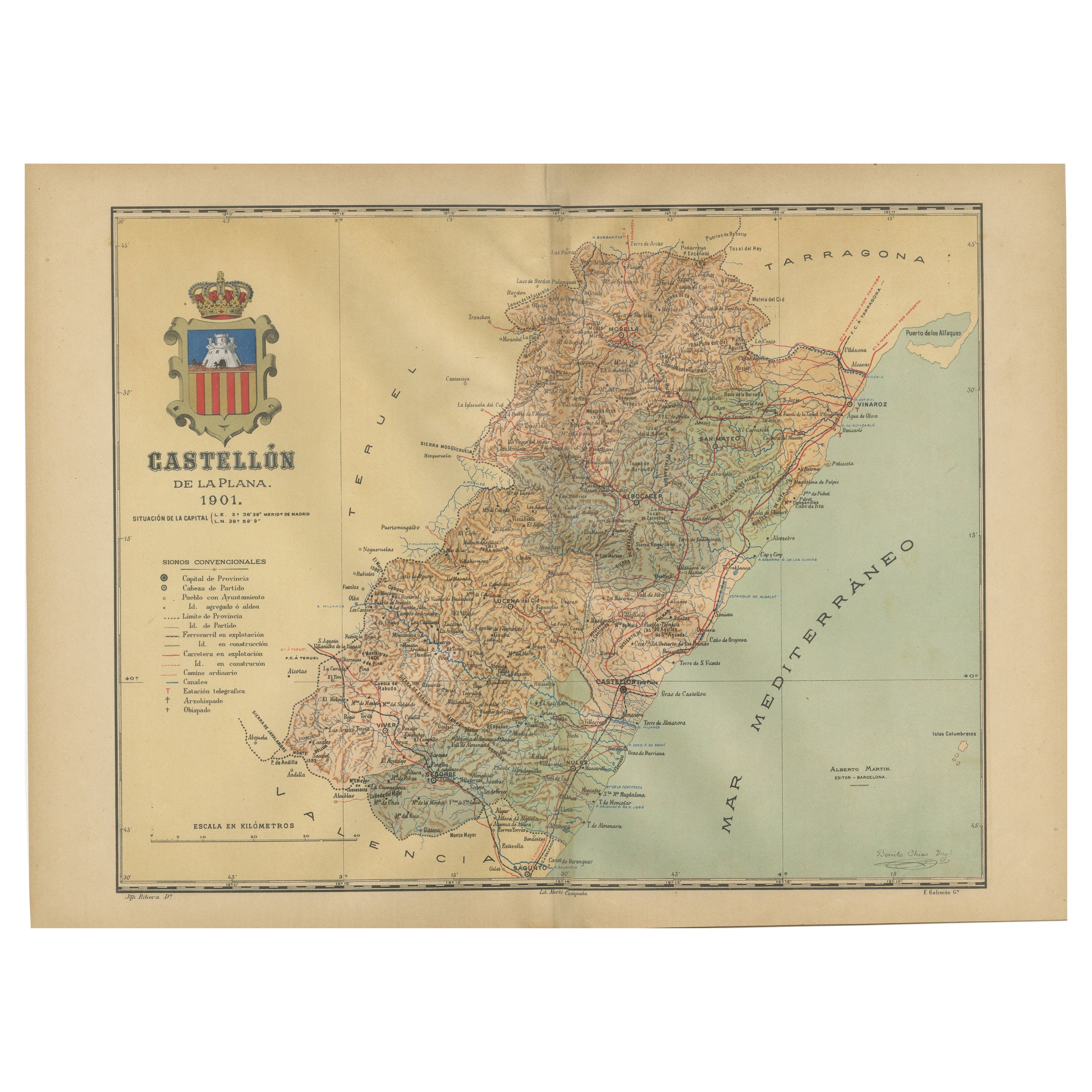
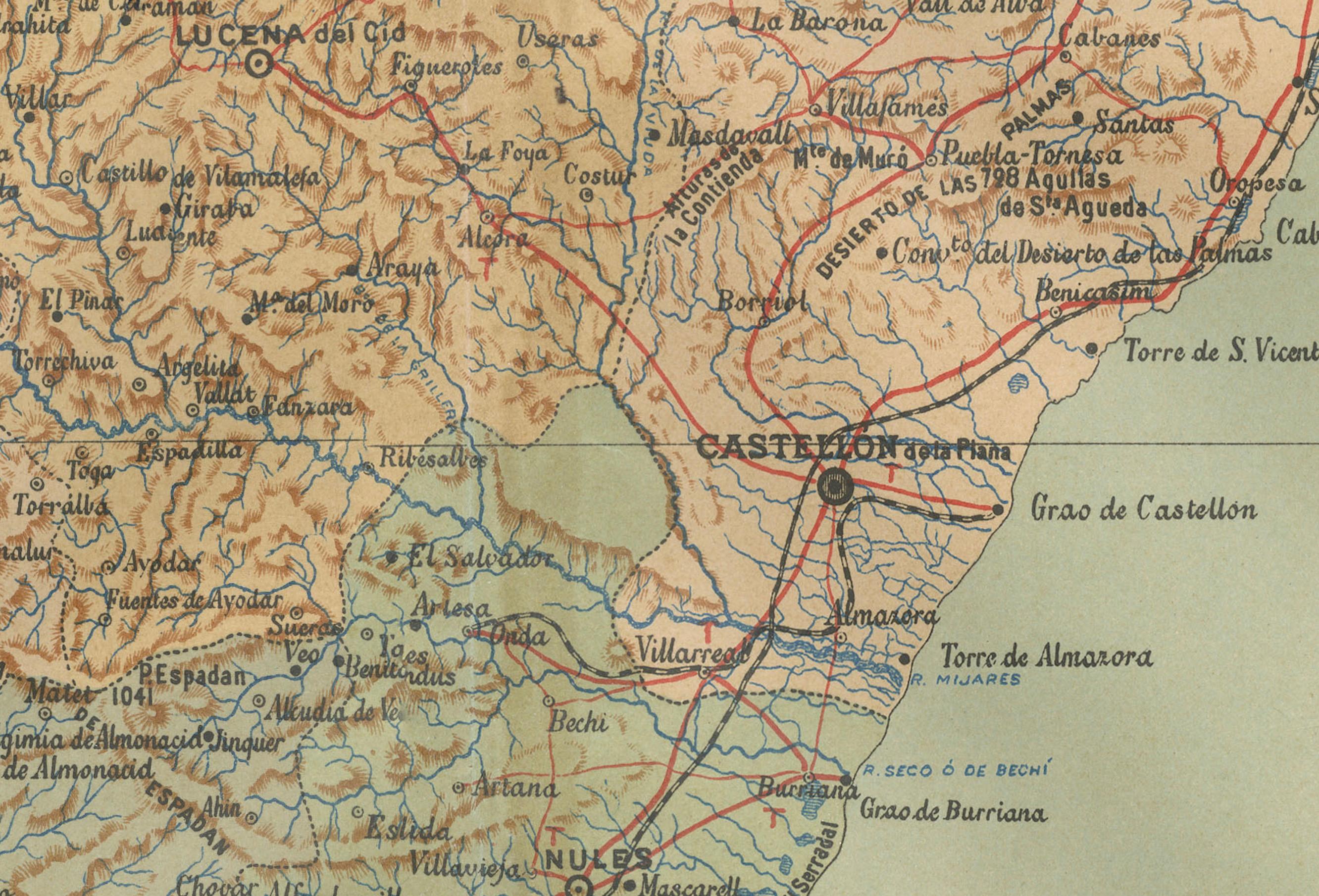
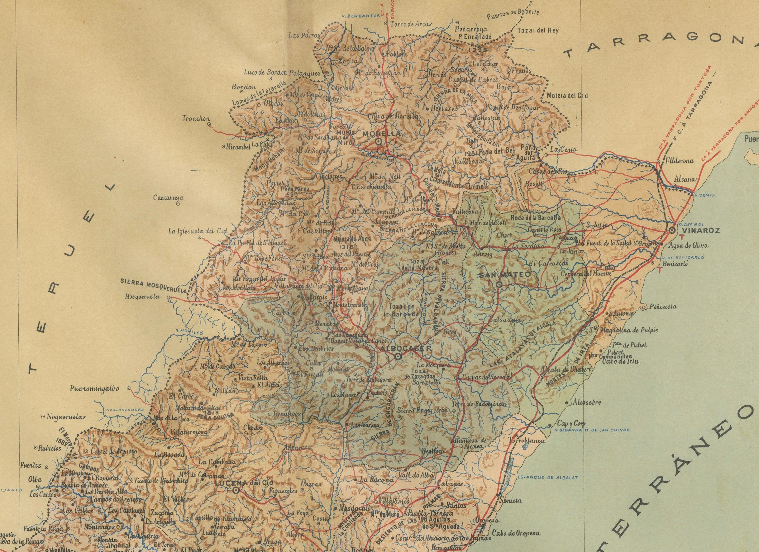
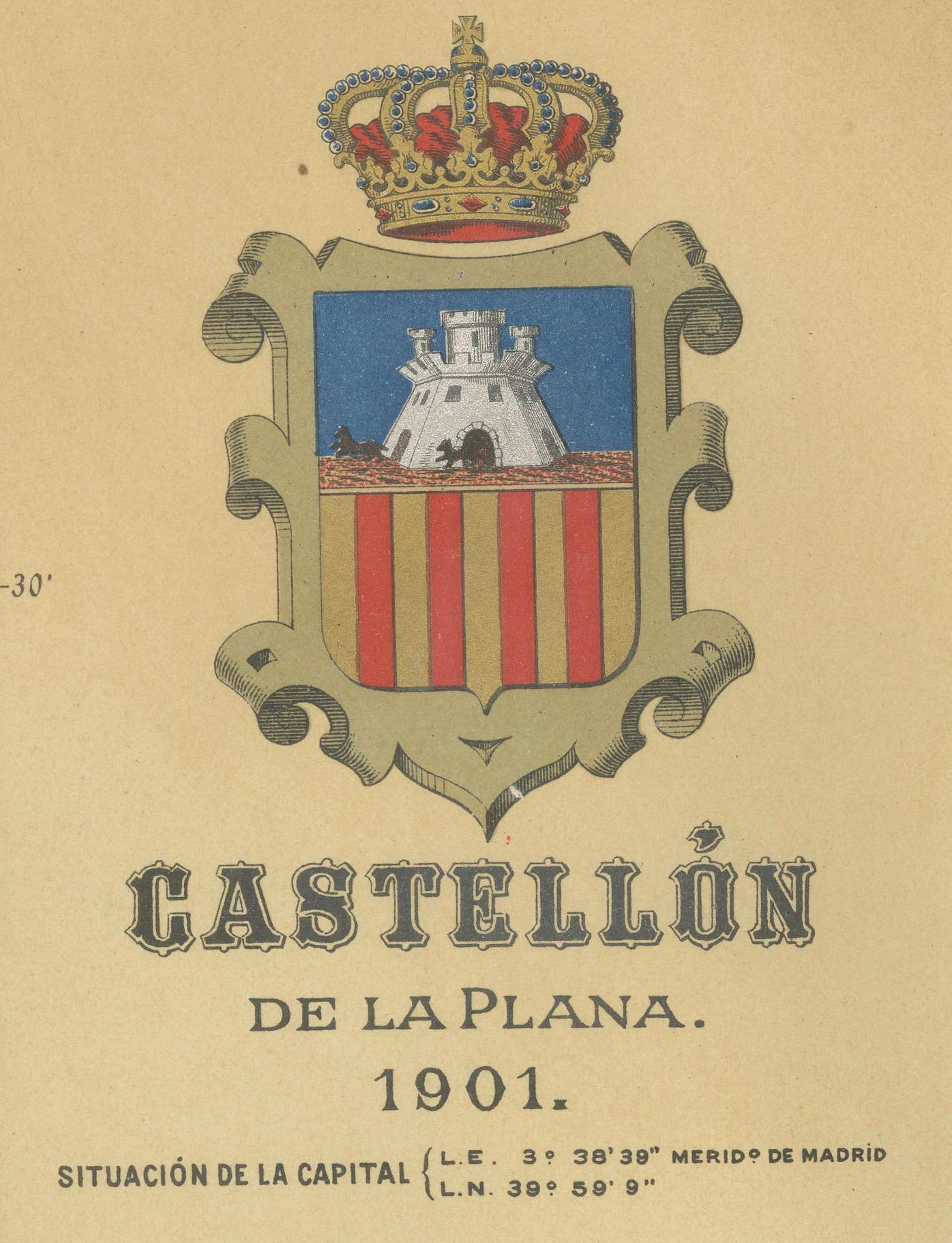
The authentic map depicts the province of Castellón de la Plana, often referred to simply as Castellón, situated in the eastern part of Spain in the Valencian Community, and the map is from the year 1901. Here's an overview of its features:
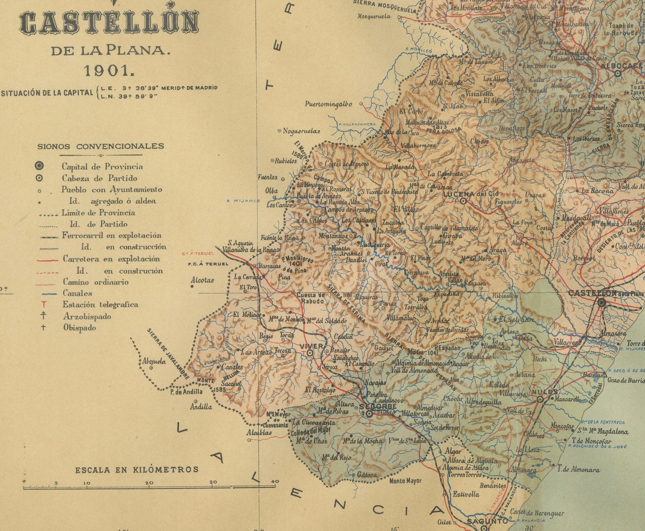
The map shows the mountainous terrain, likely including the Desert de les Palmes mountain range near the coast and the interior mountain ranges. It outlines the coastal line along the Mediterranean Sea, indicative of Castellón's location on the eastern coast of Spain. Blue lines represent rivers flowing through the province, which may include the Mijares and Palancia rivers. Red lines trace the road and rail networks, showing how the province is connected both internally and with neighboring regions. Symbols indicate the locations of cities, towns, and villages, with the capital city of Castellón de la Plana likely given prominence. Dotted lines suggest the provincial boundaries within the Valencian Community. There is a legend (Signos Convencionales) detailing the map's symbols for provincial capitals, roads, railways, and boundaries.
The coat of arms of Castellón is featured prominently, displaying a castle and a lion, both common heraldic symbols with historical significance.
About the province of Castellón:
Castellón is renowned for its beautiful coastline, the Costa del Azahar, known for its orange blossoms. The province's interior is characterized by mountainous terrain and picturesque villages, along with the presence of natural parks like the Prat de Cabanes-Torreblanca. The economy of Castellón has historically been based on agriculture, particularly citrus fruits, and it has developed a significant ceramics and tile industry, which is one of the most important in Spain. The capital city, Castellón de la Plana, is an economic and cultural center with a rich history reflected in its architecture and festivals. The province also has several protected natural areas and a variety of landscapes, from beaches to high mountain peaks.