maps-prints.com
✦
Black Friday Sale
Friday 20 to Monday 30 November: up to 30% off original antique maps and prints
The terms
- Up to 30% off selected original antique maps and prints. Every piece is an original, printed in its own time; none is a reproduction.
- The sale runs from Friday 20 November to Monday 30 November. Sale prices shown here apply from Friday 20 November; until then pieces are sold at their regular price.
- Free FedEx shipping on qualifying orders placed on our own websites: USA, Canada, UK and Europe over $500 / €450; rest of the world over $750 / €675. Smaller orders pay our normal shipping rate.
- Orders placed from 15 to 30 November ship from 1 December, in time for Christmas. Our shipping partner is InXpress.
- Each piece is unique, so the sale is while stock lasts.
Collection:AllAmericanSea chartsMilitaryNatural historyFashionArchitectureBotanicalSacredEast Indies
Sale prices apply from Friday 20 November. Save the pieces you like with the heart and come back on Friday.
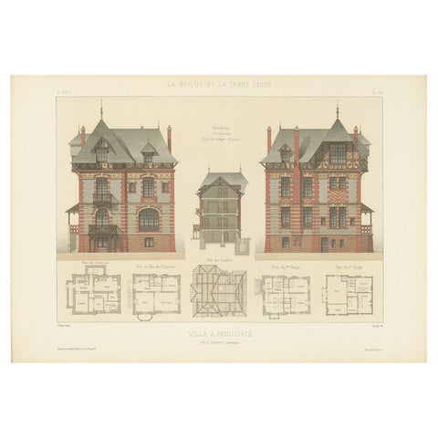 Pl. XII Villa a Houlgate, Chabat, c.1900
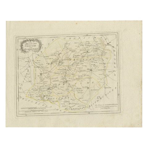 Antique Map of Part of Overijssel by Von Reilly, 1792
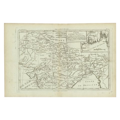 Antique Map of Part of Southern Asia by Bonne, c.1780
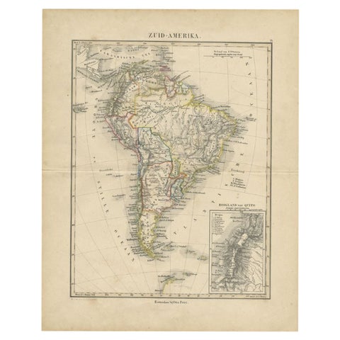 Antique Map of South America by Petri, c.1873
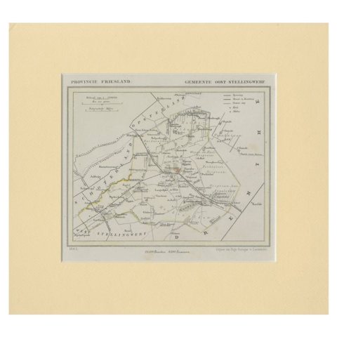 Antique Map of Ooststellingwerf by Kuyper, 1868
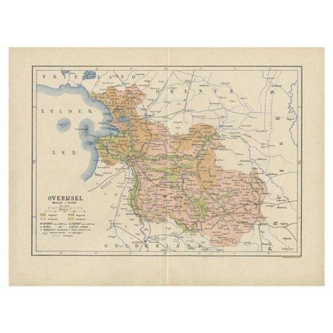 Antique Map of Overijssel by Kuyper, 1883
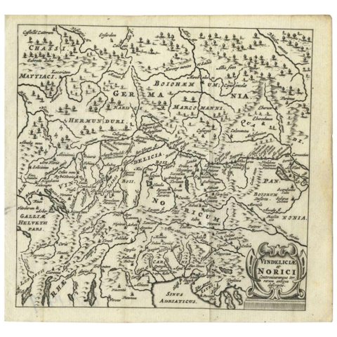 Antique Map of Southern Germany and Switzerland by Cluver, 1685
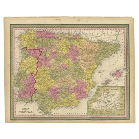 Antique Map of Spain and Portugal by Mitchell, 1846
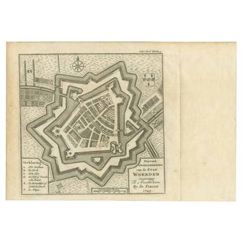 Antique Map of the City of Woerden by Tirion, c.1750
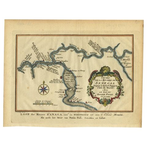 Antique Map of the Course of the Sanaga River by Van Schley, 1747
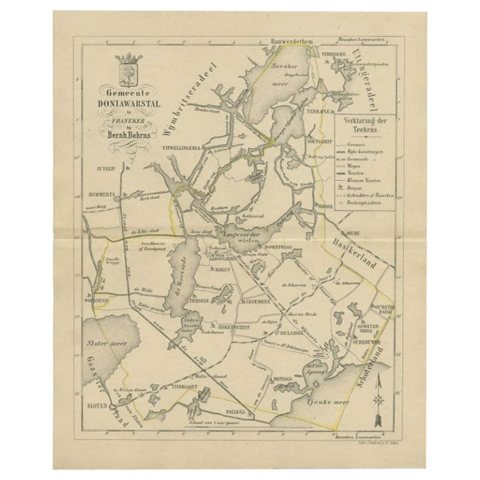 Antique Map of the Doniawerstal Township by Behrns, 1861
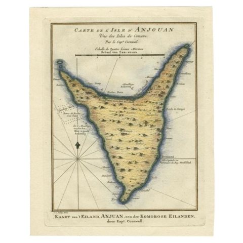 Antique Map of the Island Anjouan by Van Schley, c.1750
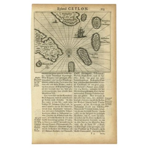 Antique Map of the Islands Near Ceylon by Baldaeus, 1672
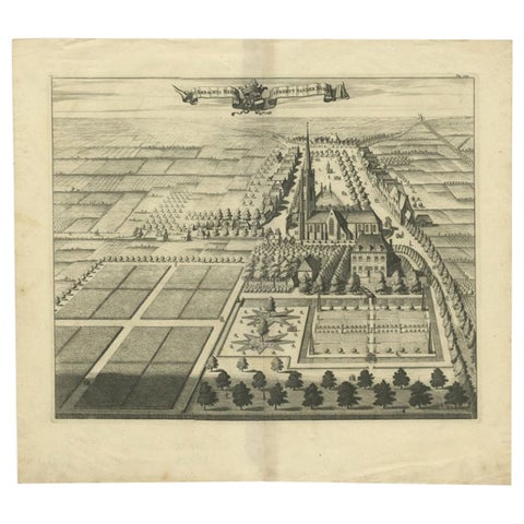 Antique Print of the Heerlijkheid Nisse Estate by Smallegange, 1696
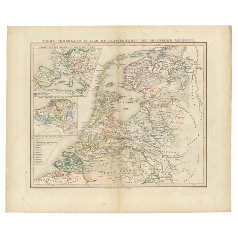 Antique Map of the Netherlands in 1530 by Mees, 1852
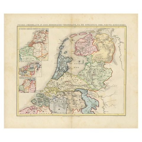 Antique Map of the Netherlands in 1560 by Mees, 1853
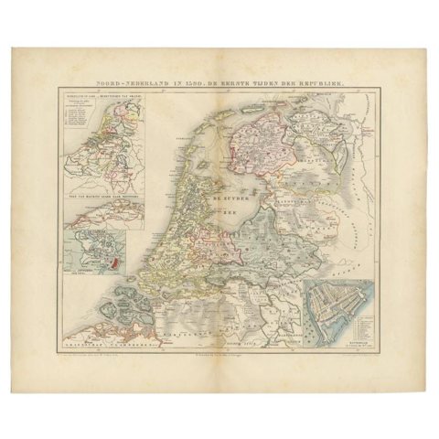 Antique Map of the Netherlands in 1590 by Mees, 1854
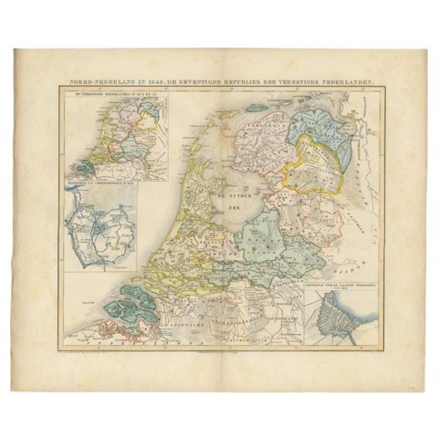 Antique Map of the Netherlands in 1648 by Mees, 1855
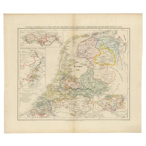 Antique Map of the Netherlands in 1740 by Mees, 1857
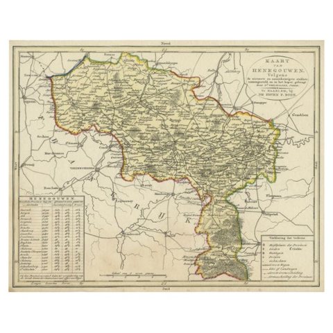 Antique Map of the Region of Henegouwen by Veelwaard, C.1840
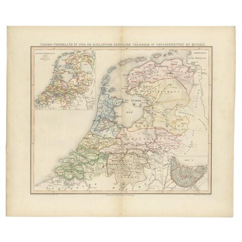 Antique Map of the Netherlands in 1798 by Mees, 1851
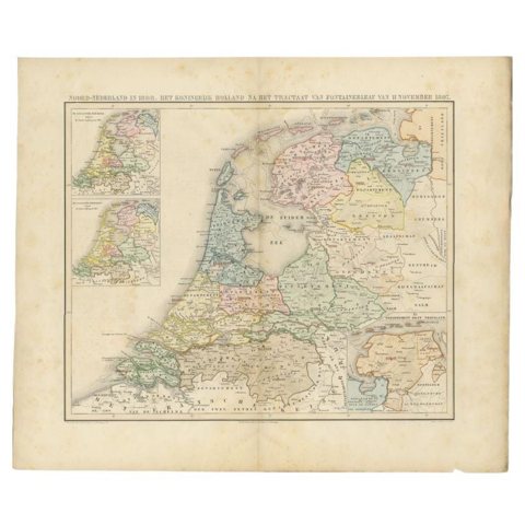 Antique Map of the Netherlands in 1808 by Mees, 1857
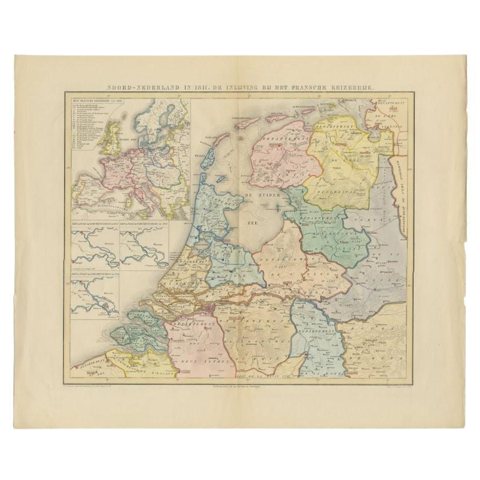 Antique Map of the Netherlands in 1811 by Mees, 1858
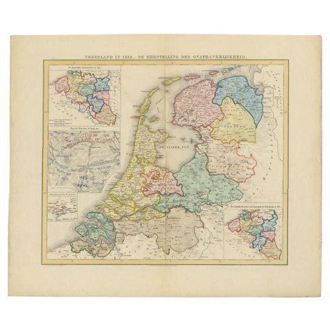 Antique Map of the Netherlands in 1814 by Mees, 1858
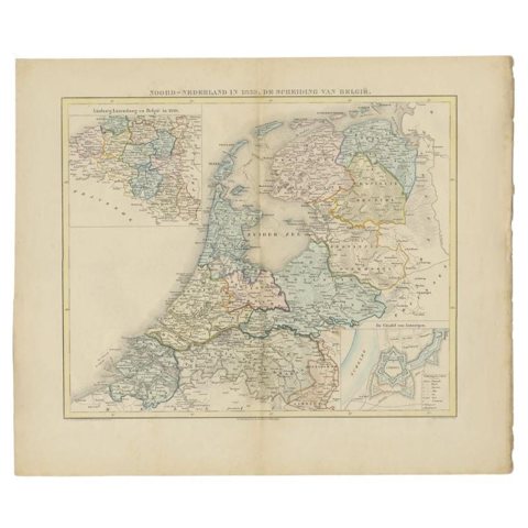 Antique Map of the Netherlands in 1839 by Mees, 1860
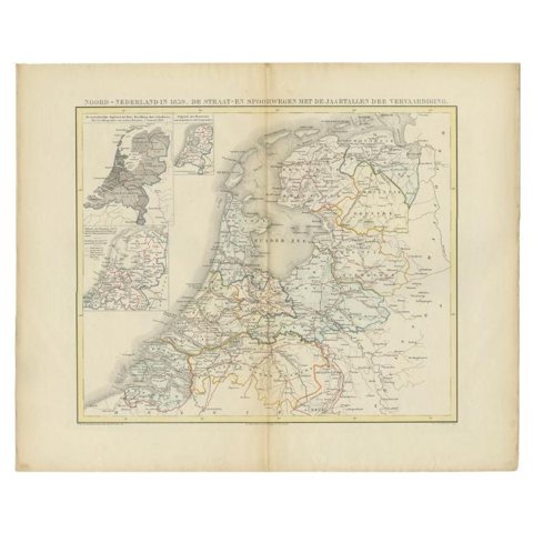 Antique Map of the Netherlands in 1859 by Mees, 1861
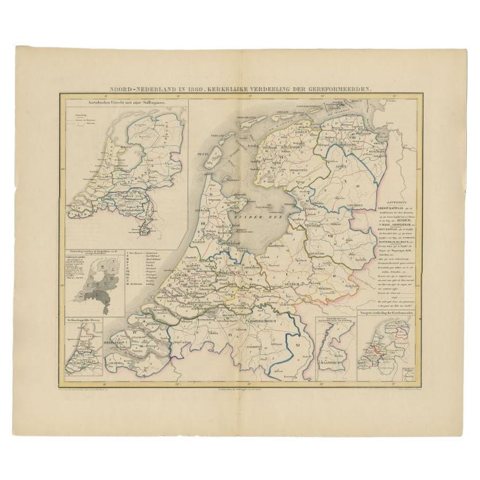 Antique Map of the Netherlands in 1860 by Mees, 1862
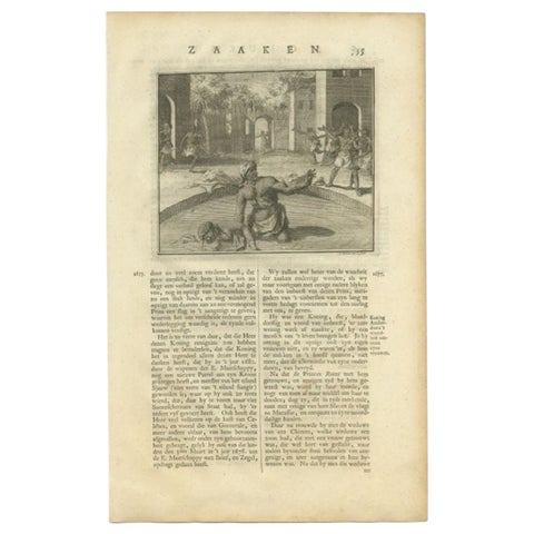 Antique Print of the King Murdering his Wife by Valentijn, 1726
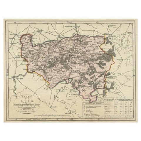 Antique Map of the Region of Luik by Veelwaard, C.1840
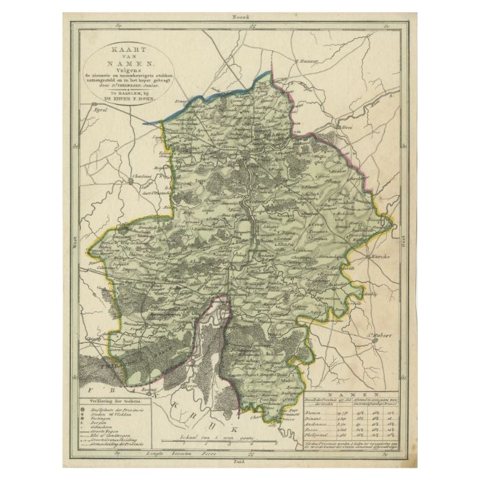 Antique Map of the Region of Namen by Veelwaard, c.1840
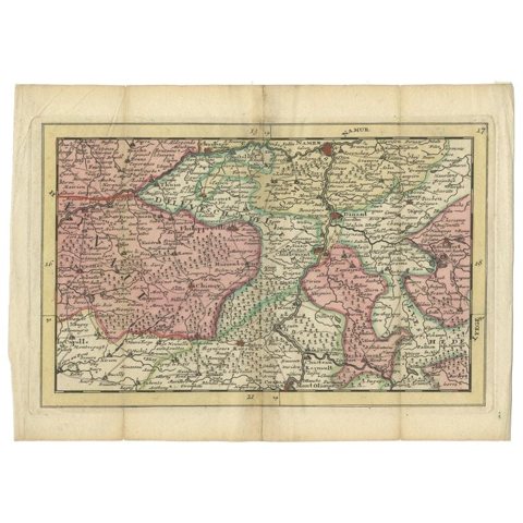 Antique Map of the Region of Namur by De Lat, 1737
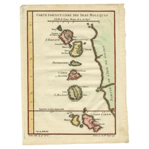 Antique Map of the Maluku Islands by Bellin, c.1750
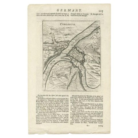 Antique Map of the Koblentz Region by Moll, 1695
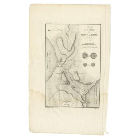 Antique Map of the Isthmus of Mount Athos by Choiseul-Gouffier, 1809
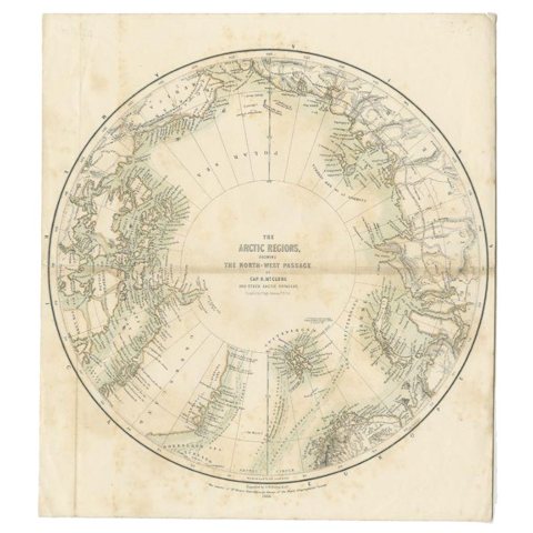 Antique Map of the North Pole by Fullarton, 1856
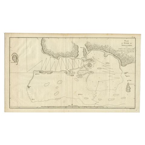 Antique Map of the Northern Coast of Tongatapu by Benard, c.1785
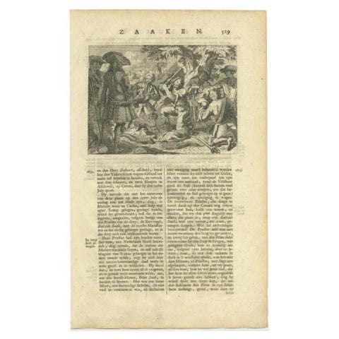 Antique Print of the Murder of Kaitsjili Saidi by Valentijn, 1726
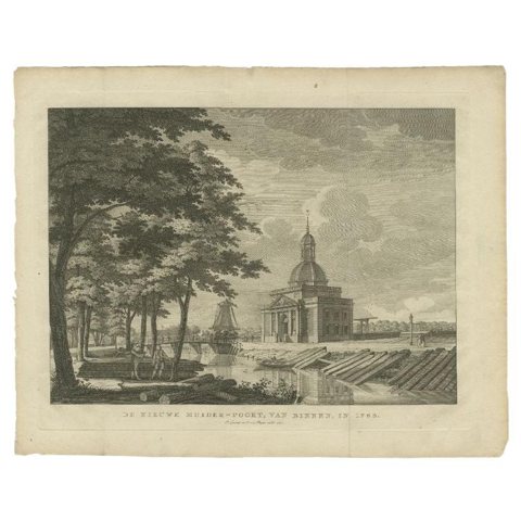 Antique Print of the 'Nieuwe Muiderpoort' by Conradi, 1787
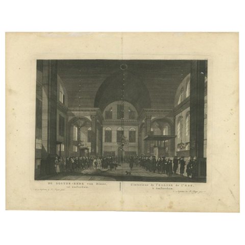 Antique Print of the 'Oosterkerk' in Amsterdam by Fouquet, 1783
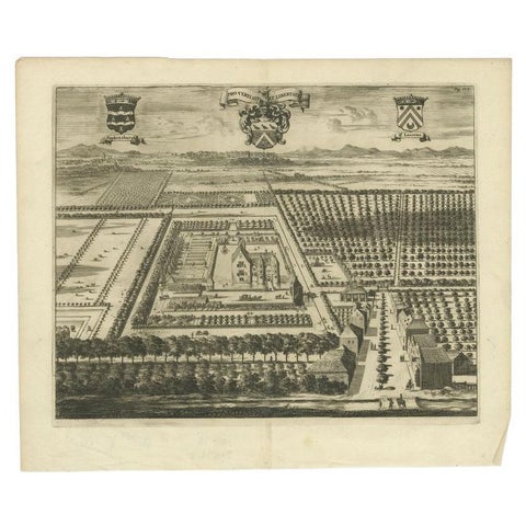 Antique Print of the Popkensburg Estate by Smallegange, 1696
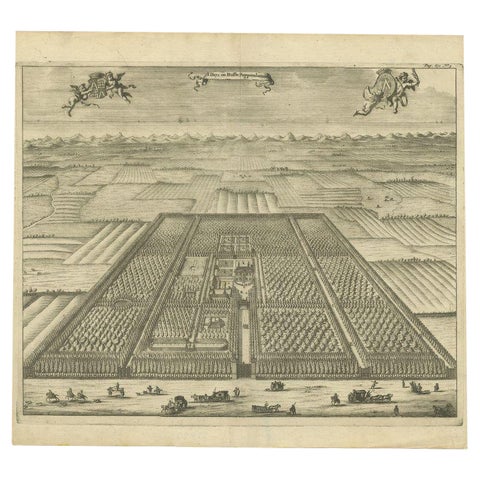 Antique Print of the Poppendam Estate by Smallegange, 1696
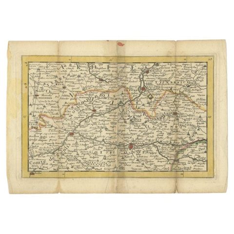 Antique Map of the Region of Soissons in France, 1737
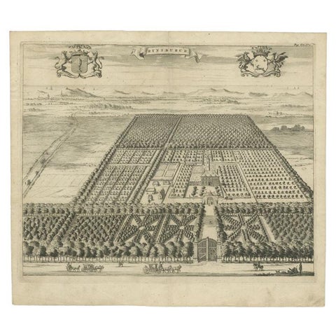 Antique Print of the Rijnsburg Estate by Smallegange, 1696
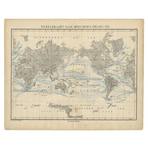 Antique Mercator Projection World Map by Petri, c.1873
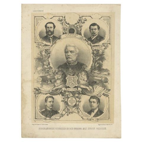 Old Portrait Dutch Officers Who Died in the Aceh War in the Dutch East Indies
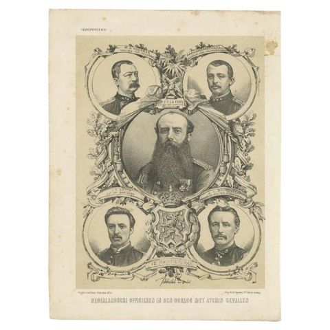 Portrait of Dutch Officers Who Died in the (Atjeh) Aceh War, Dutch East Indies
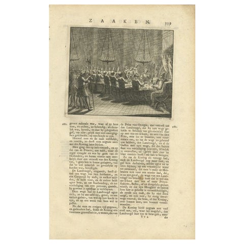 Antique Print of a Dinner in the Moluccas by Valentijn, 1726
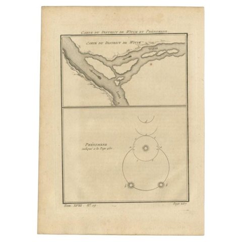 Antique Map of the Vitim and Lena Rivers, Russia, 1768
Sharing the sale? Download the Black Friday banners.