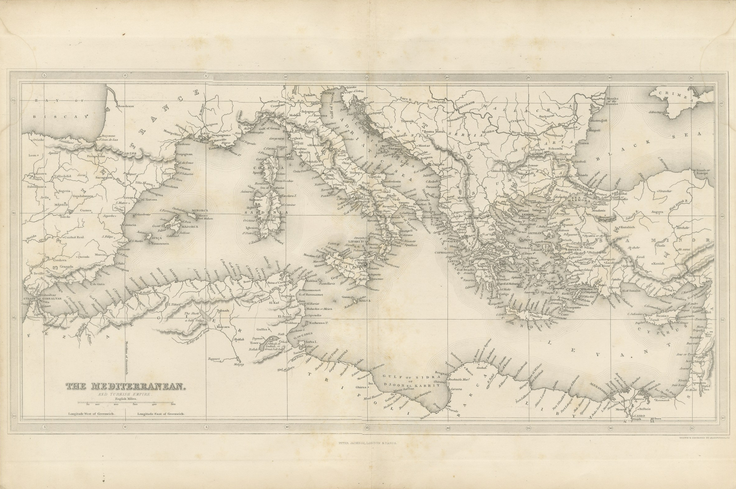
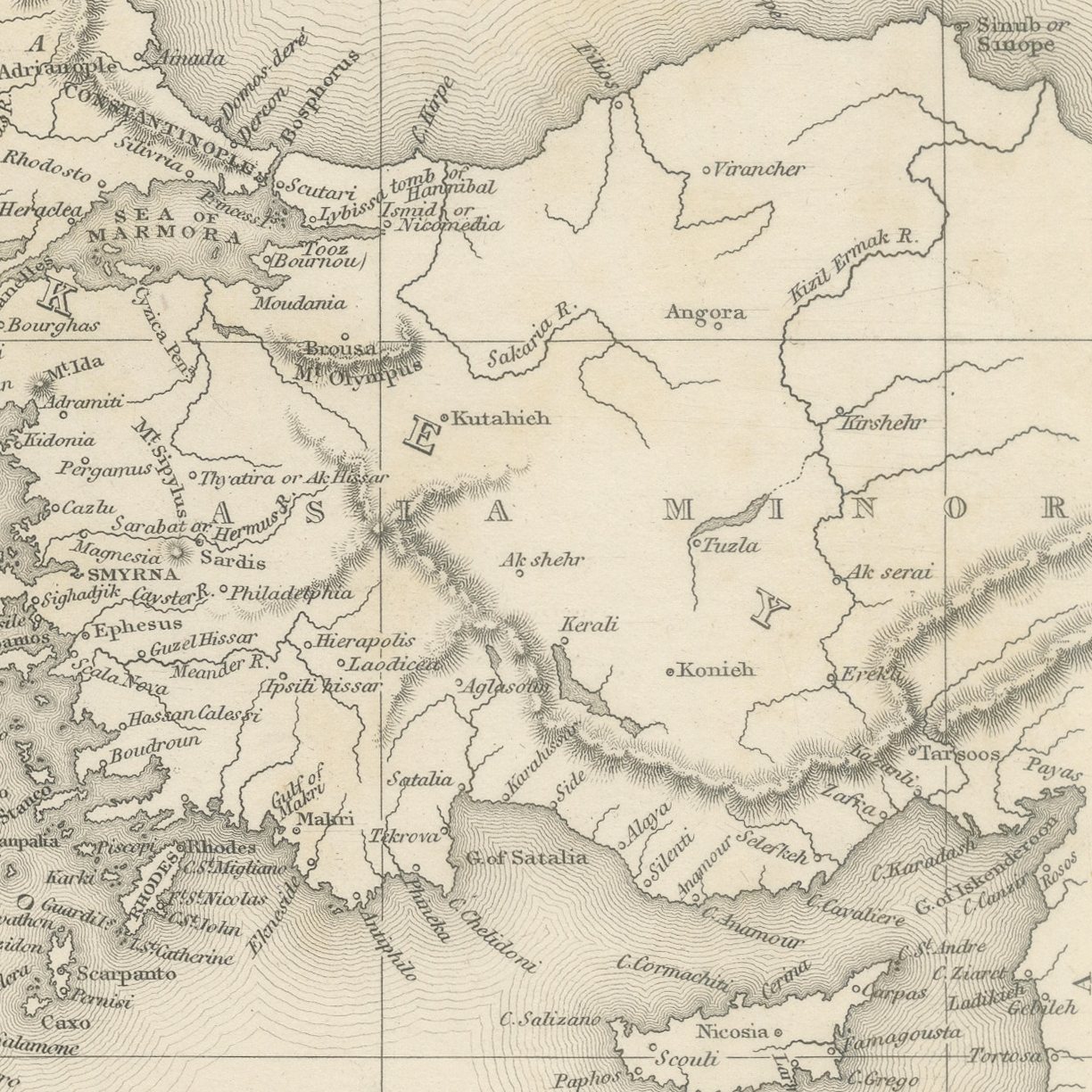
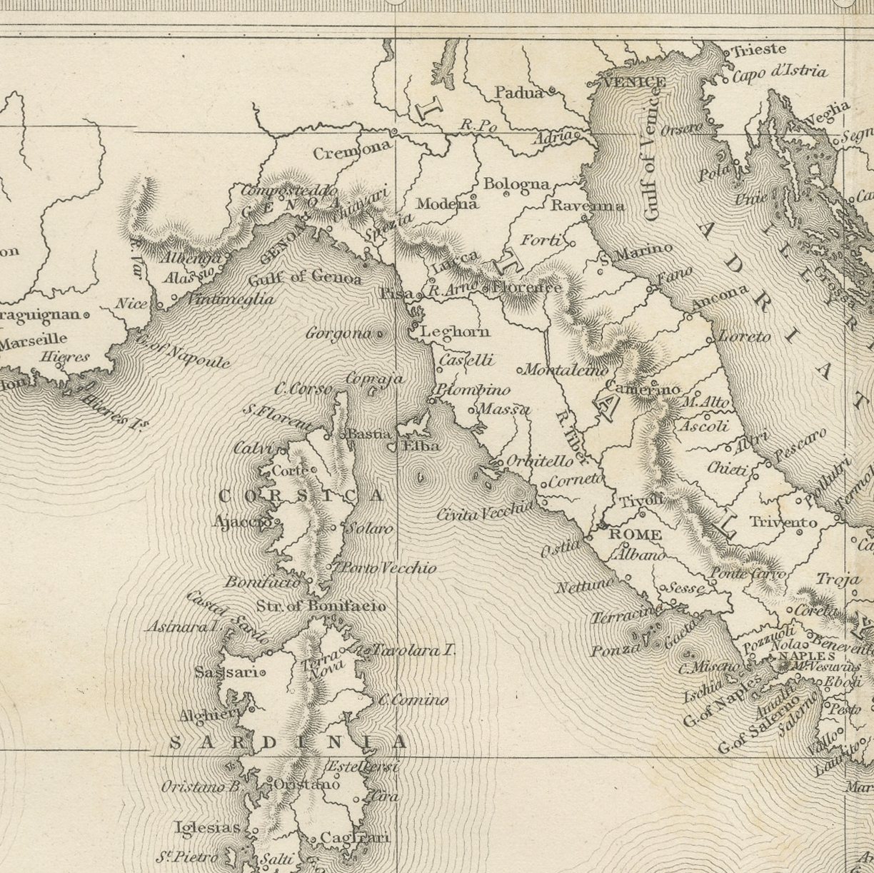
Antique Map of the Mediterranean and Turkish Empire by Findlay, circa 1850
€ 420
Original antique · The actual sheet photographed · Certificate of authenticity on request · Sold unframed · Worldwide shipping from € 15 (rates)
Date
circa 1850
Mapmaker / artist
Alexander Findlay
Publisher
Peter Jackson, late Fisher, Son and Co., London and Paris
Technique
Steel Engraving
Coloring
Uncolored
Sheet size
21 × 27 cm (8.3 × 10.6 in)
Condition
Good
Reference
BG-14186-1-49
What the condition grades mean
Excellent
Bright and clean, with no faults worth mentioning.
Very good
Only light signs of age, such as faint toning.
Good
Normal signs of age for a sheet of this period: toning, some foxing, small marks or neat old repairs.
Fair
Clear faults such as staining, tears or repairs, priced to match.
Every fault we see is written in the condition note, and the whole sheet is shown uncropped in the photos.
Condition
Light uneven toning, browner toward the edges. Marked handling soiling along the bottom, left and top edges. Scattered light foxing in the margin. All four corners complete.
About this sheet
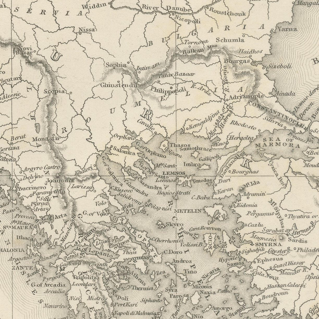
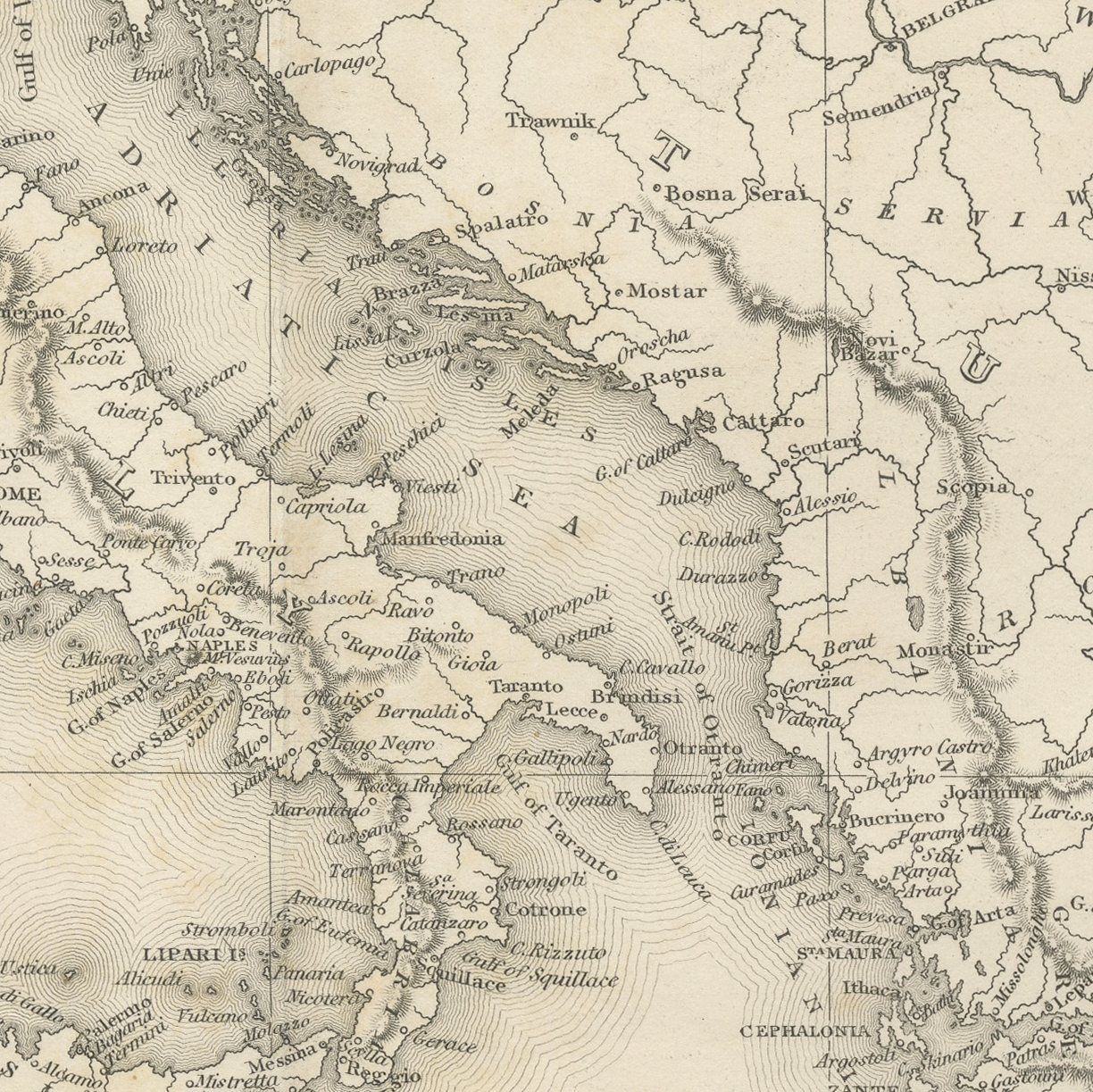
This original antique map of the Mediterranean and the Turkish Empire was drawn and engraved on steel by Alexander Findlay for the first volume of The Turkish Empire Illustrated, published in London by Peter Jackson about 1850. A wide folding map of the whole Mediterranean and the Turkish Empire, running from the Bay of Biscay and Gibraltar east to the Crimea, the Levant and the Dead Sea, engraved with fine hachured coastlines, graduated borders and a dense network of place names.
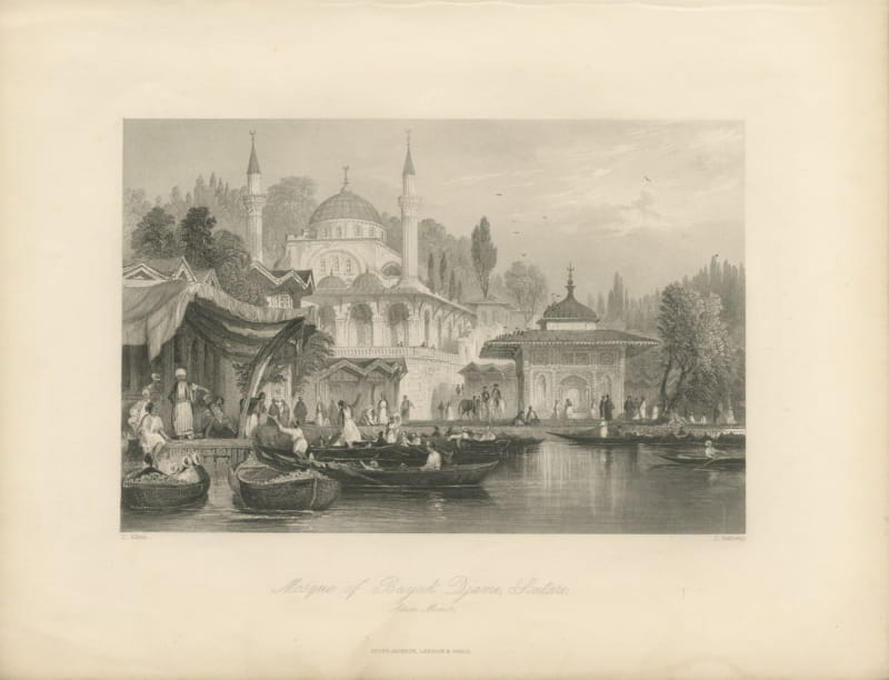
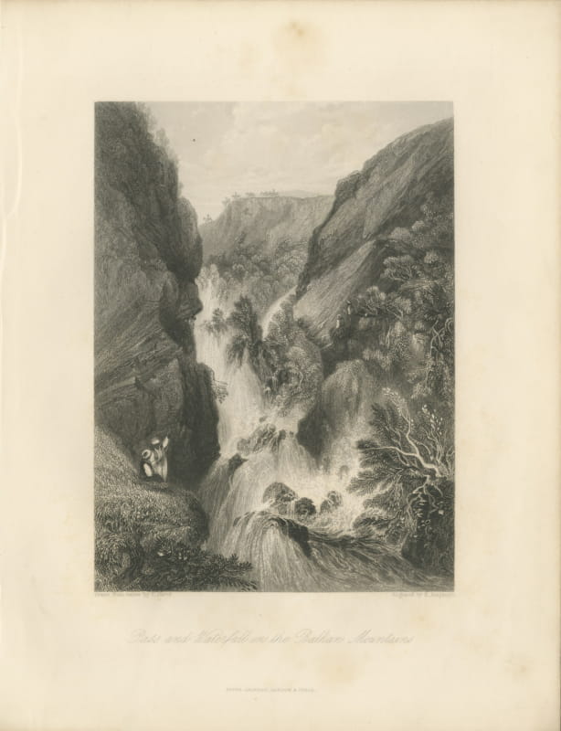
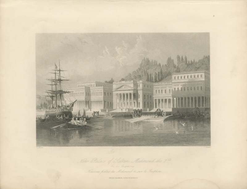
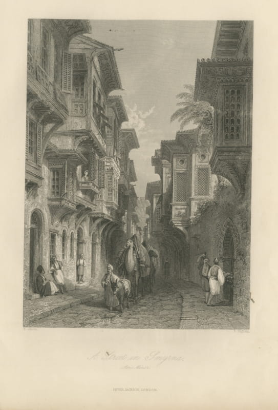
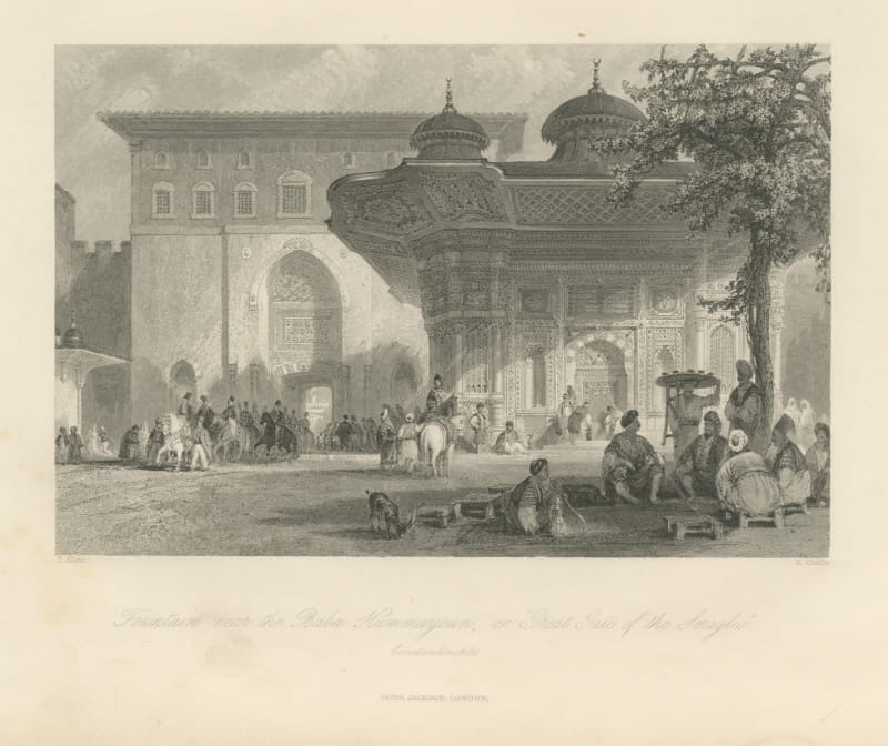
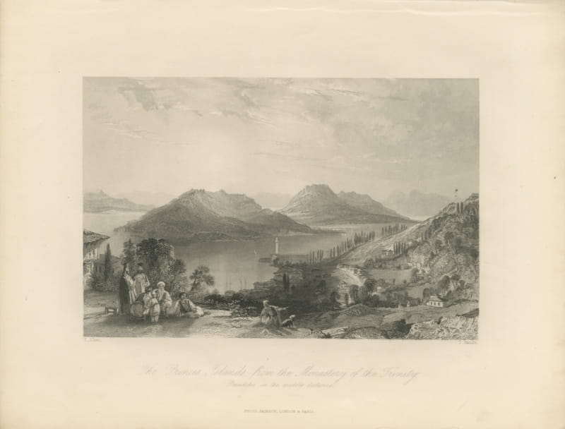
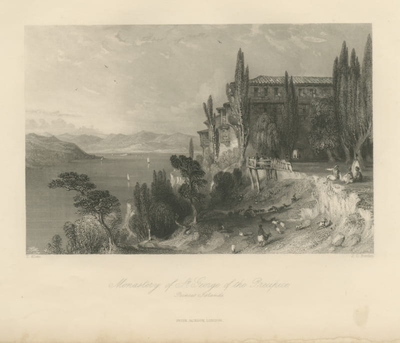
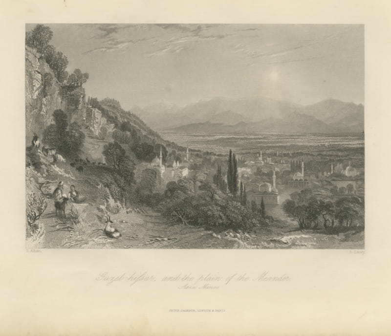
This sheet was published in London about 1850 by Peter Jackson, late Fisher, Son and Company, in the first volume of The Turkish Empire Illustrated. Thomas Allom traveled through Constantinople and Asia Minor making the original drawings, and the Reverend Robert Walsh, who had served as chaplain at the British embassy to the Porte, wrote the letterpress. The plates are steel engravings, a technique that holds a far finer line than copper and allowed the long print runs these illustrated travel books required. Each plate in the series carries the draftsman at the lower left and the engraver at the lower right, both printed inside the plate mark, with the English title in script below and a French translation beneath it on many sheets, which is how the publisher sold the work on both sides of the Channel. The fine tonal gradation is the work of the burin alone, with no aquatint or added wash.
Alexander Findlay was the leading British commercial hydrographer of his generation and this is the only map in the volume, drawn and engraved by him to show the whole theater the letterpress describes. Framed in gilt or in plain polished wood it suits a study, a library or a dining room, and it sits easily beside maps, marine prints and other nineteenth century travel material.
Light uneven toning, browner toward the edges. Marked handling soiling along the bottom, left and top edges. Scattered light foxing in the margin. All four corners complete.
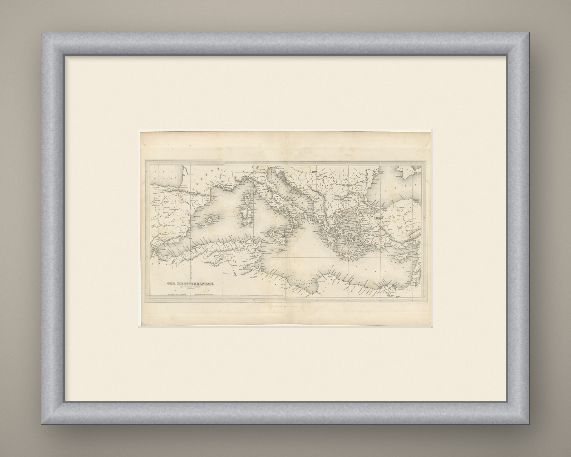
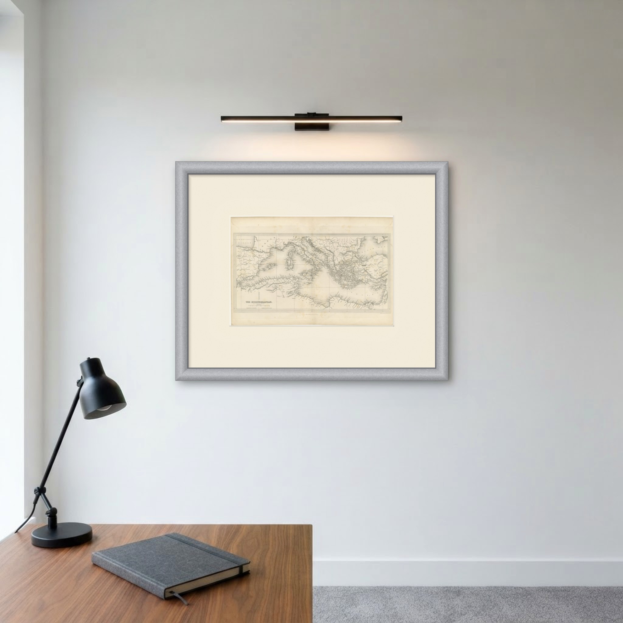
This is an original antique map, not a modern reproduction. This item is sold unframed. Any framed or interior images are shown for presentation and inspiration only, unless the listing explicitly states that the item is sold framed.