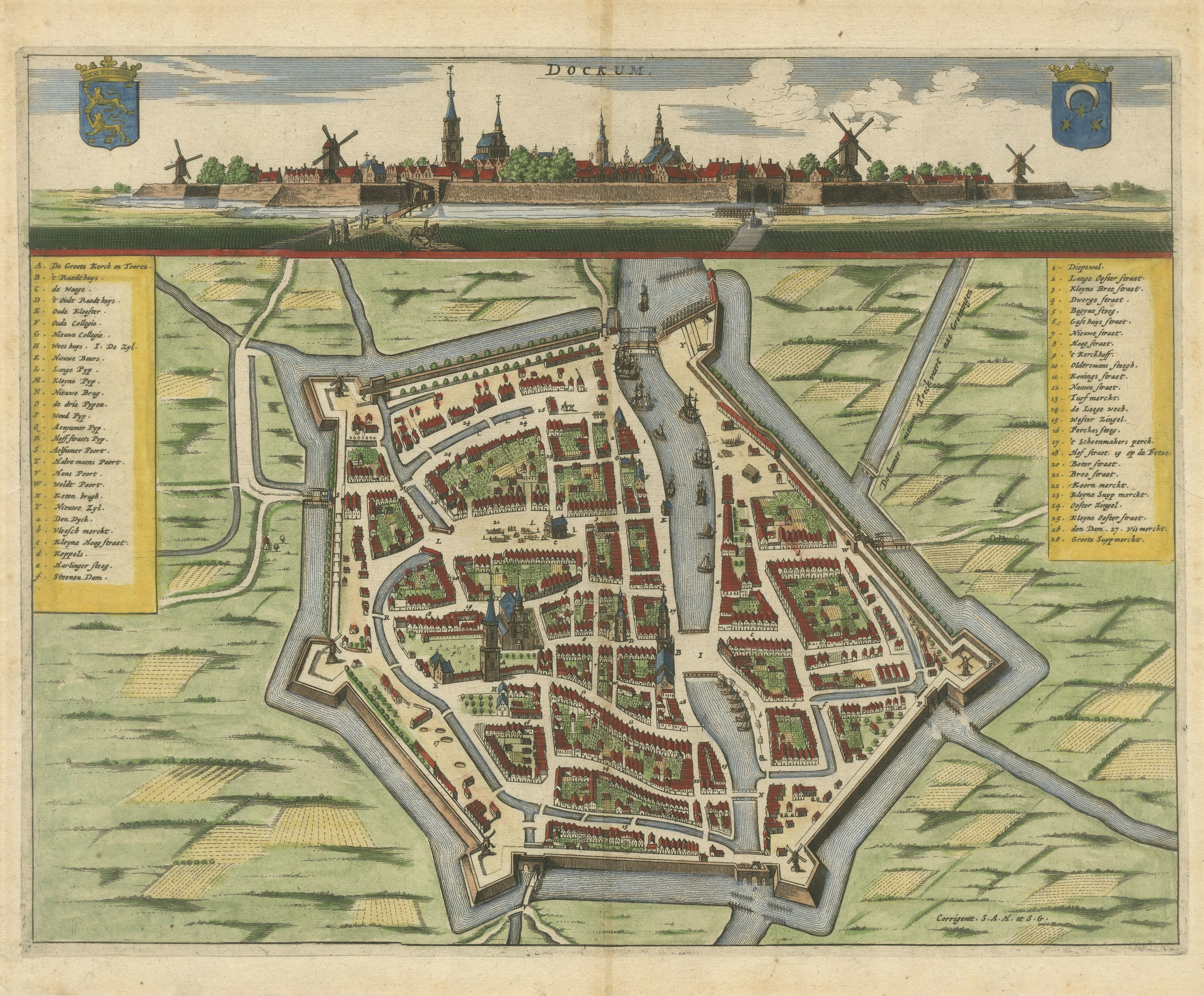
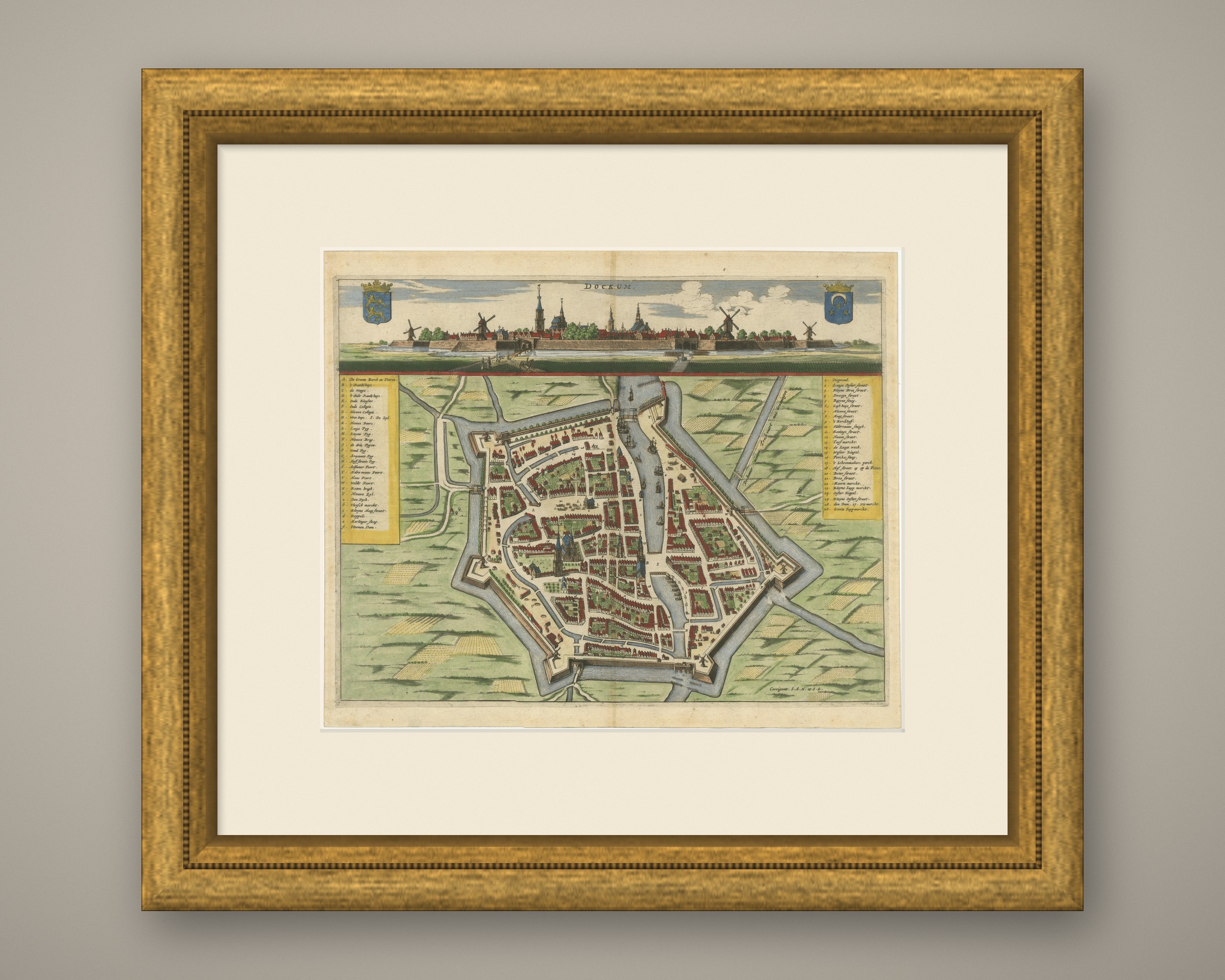
Antique Town Plan and View of Dokkum, Friesland, circa 1650
€ 940
Original antique · The actual sheet photographed · Certificate of authenticity on request · Sold unframed · Worldwide shipping from € 15 (rates)
Date
circa 1650
Mapmaker / artist
Unnamed Dutch engraver
Publisher
Published in Amsterdam
Technique
Copper Engraving
Coloring
Original hand color
Sheet size
31 × 38 cm (12.2 × 15.0 in)
Condition
Good
Reference
BG-14431
What the condition grades mean
Excellent
Bright and clean, with no faults worth mentioning.
Very good
Only light signs of age, such as faint toning.
Good
Normal signs of age for a sheet of this period: toning, some foxing, small marks or neat old repairs.
Fair
Clear faults such as staining, tears or repairs, priced to match.
Every fault we see is written in the condition note, and the whole sheet is shown uncropped in the photos.
Condition
Light uneven toning, browner towards the edges. Handling soiling along the top edge. Scattered light foxing in the margin. Slight wear at the top right corner.
About this sheet
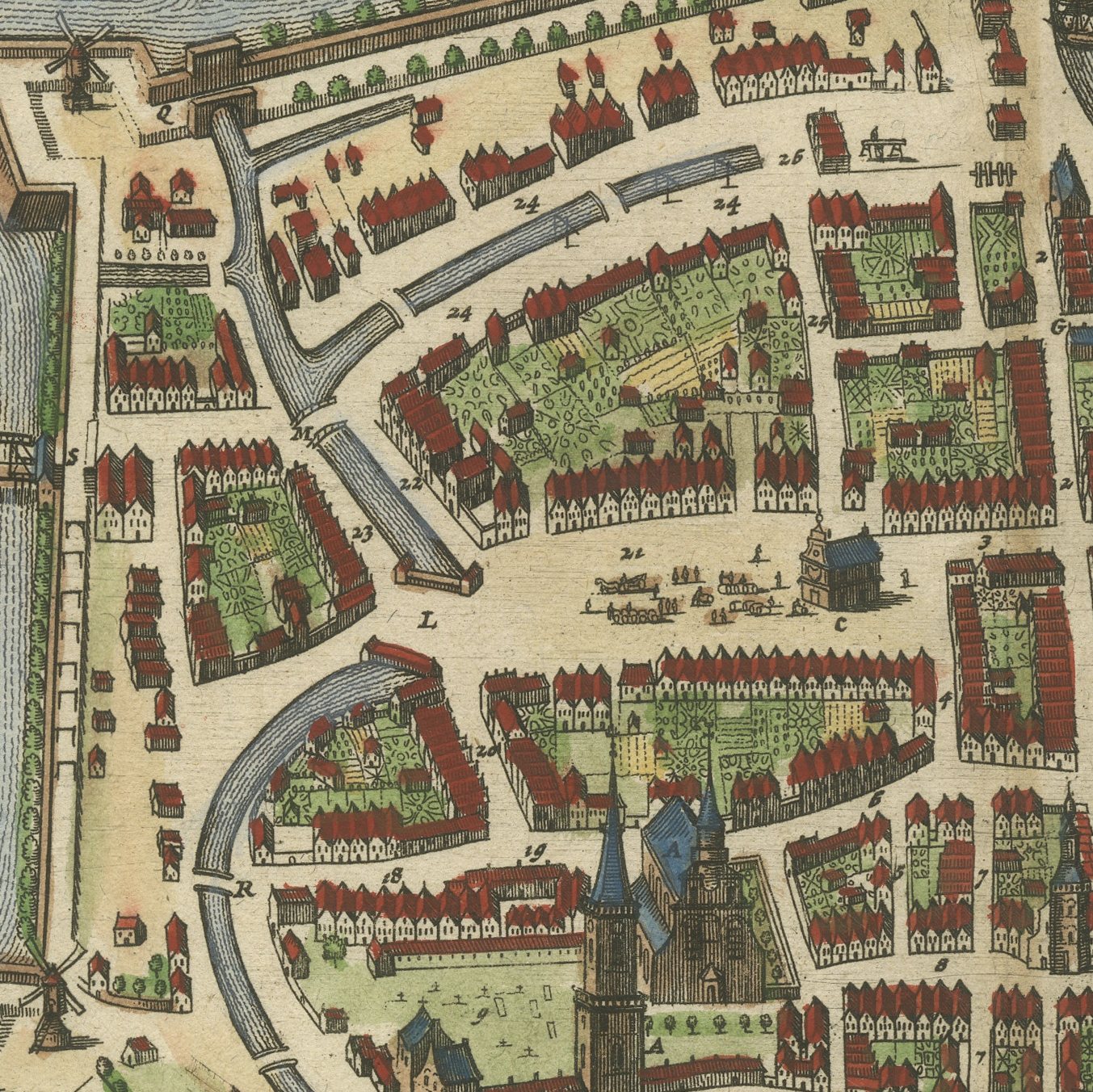
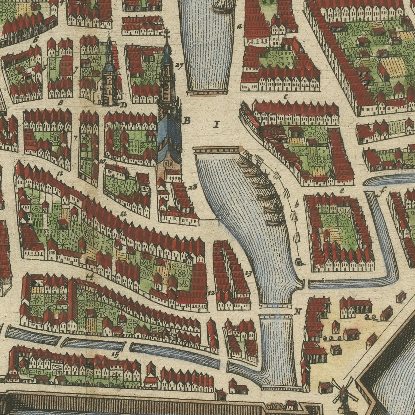
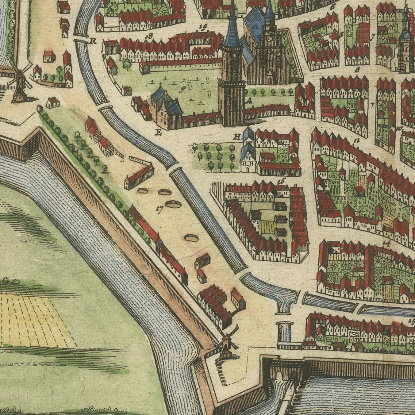
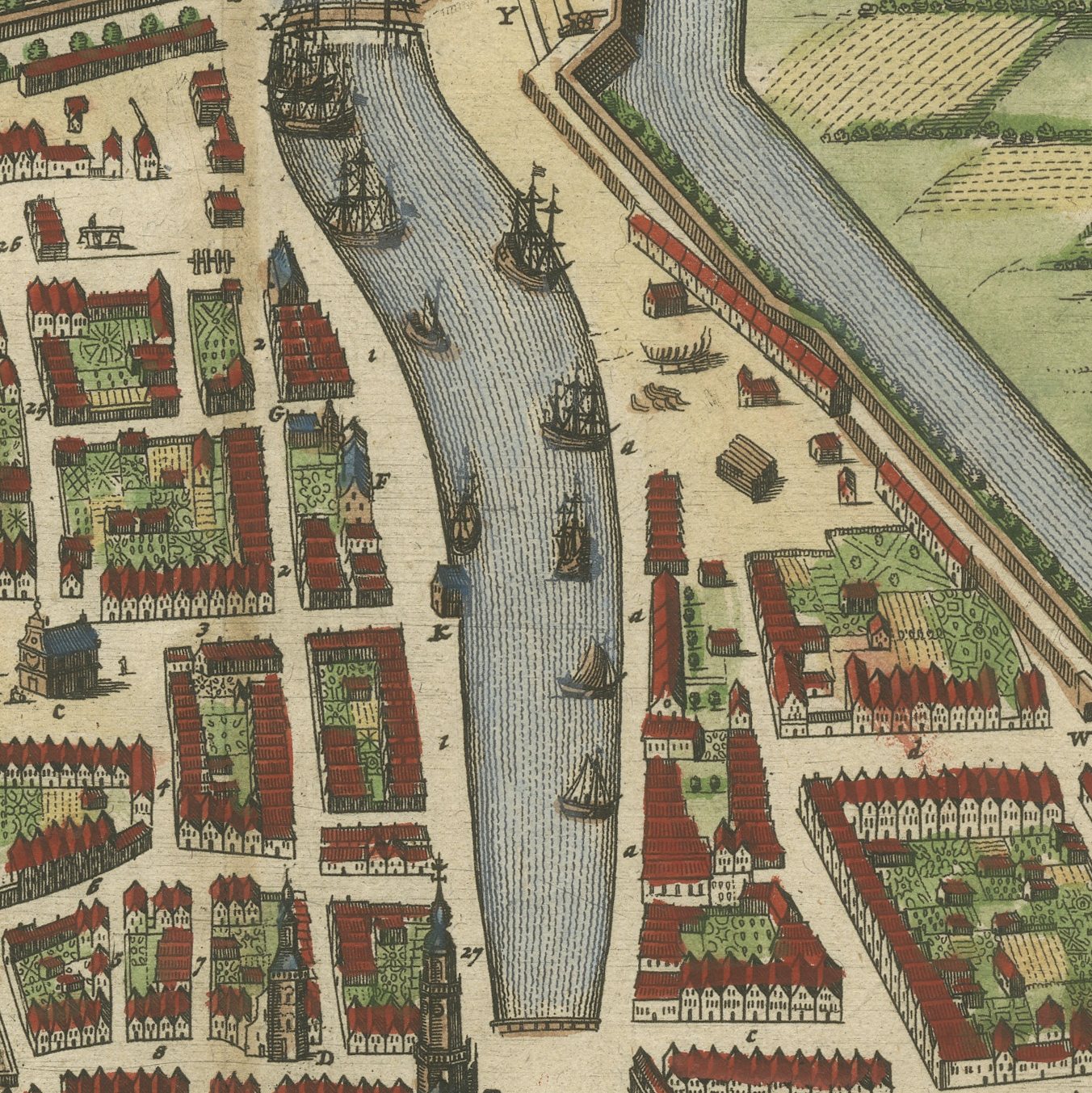
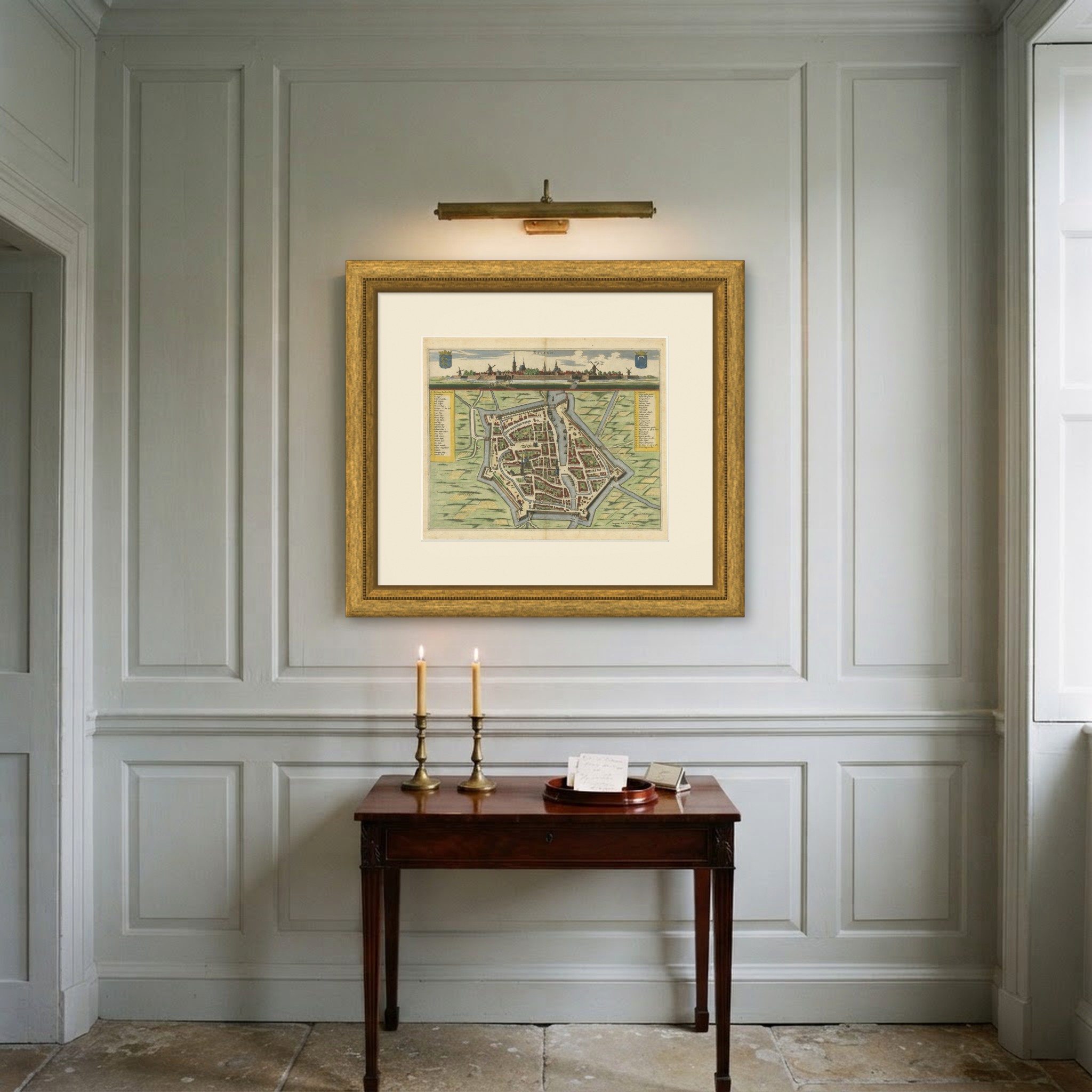
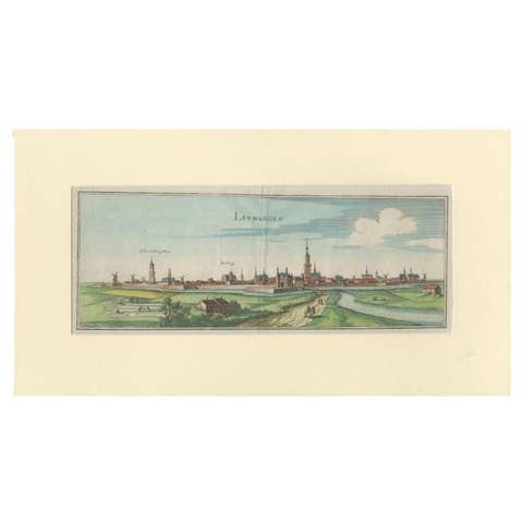
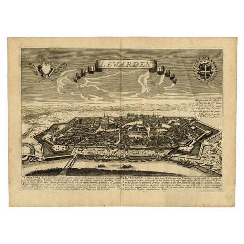
An original antique hand colored plan of Dokkum, the little fortified town in the north east of Friesland, with a profile view of the town from across the fields set along the top of the sheet and the arms of Friesland and of Dokkum in shields at either upper corner. The plan below shows the star shaped earthworks and the wet ditch that surround the town, the two windmills on the bastions, the church, the streets and the canal that runs through the middle, with the fields washed in green and yellow outside the walls. Keyed lists of buildings stand in panels down both sides and the lower margin carries the line Corrigent. S.A.H. et S.G.
Dokkum is the northernmost walled town of the Netherlands and the place where the English missionary Saint Boniface was killed in 754. Its seventeenth century defenses, built in the Dutch manner with low earth bastions and a broad wet ditch, survive almost complete to this day, which makes this plan unusually easy to walk around with. Plans of this kind were published in Amsterdam as part of the town books that recorded every city of the Low Countries.
Town plans of the Dutch provinces sell to people from those towns, and Friesland holds its own particularly strongly. Dokkum is a well loved place, the turning point of the Elfstedentocht skating race, and a colored plan of it is the obvious present for anybody connected with the town. The combination of a profile view above and a plan below makes the sheet work as a picture as well as a document.
Light uneven toning, browner towards the edges. Handling soiling along the top edge. Scattered light foxing in the margin. Slight wear at the top right corner.
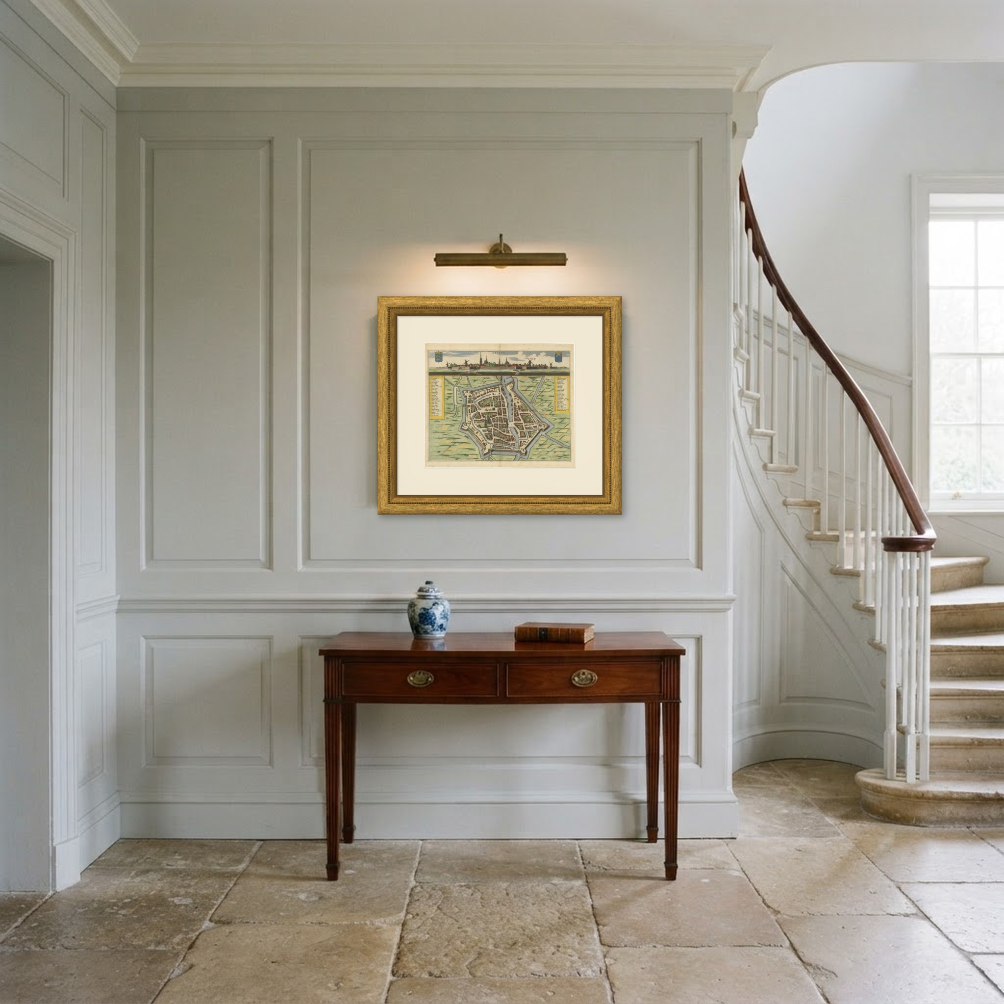
This is an original antique print, not a modern reproduction. This item is sold unframed. Any framed or interior images are shown for presentation and inspiration only, unless the listing explicitly states that the item is sold framed.