Traversing the Volcanic Frontier: A South Australian Expedition of 1844
€ 270
One of a kind: this is the sheet in the photographs. Ships from Langweer, the Netherlands.
Date
1844
Sheet size
21.3 × 34.3 cm (8.4 × 13.5 in)
Condition
Good
Reference
BG-13699-2
Condition
Good. Light paper with folds as issued. One fold supported by archival tape. Minor browning, especially around the edges and in the two images. Tight margin in the top and some creasing. Study the images carefully.
About this sheet
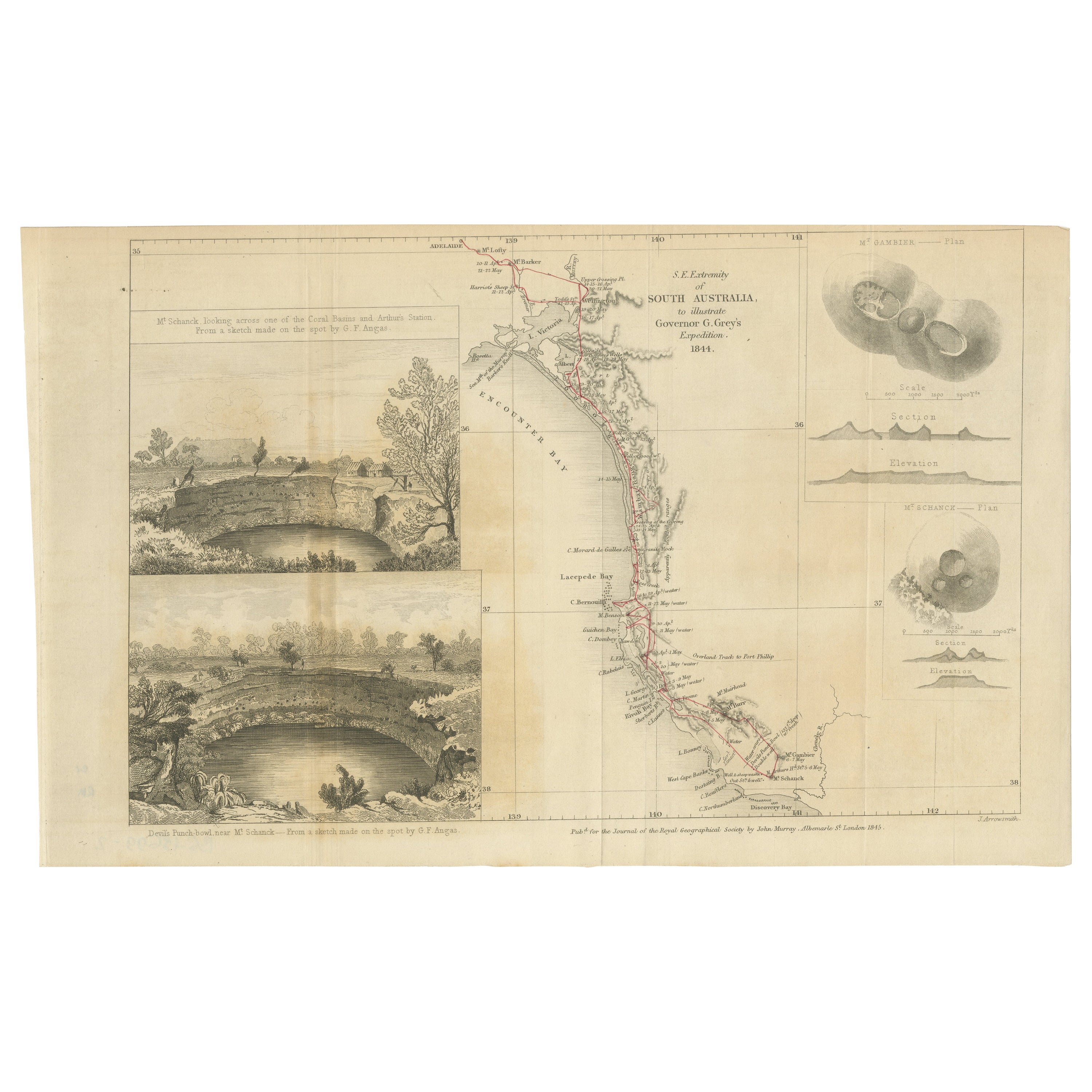
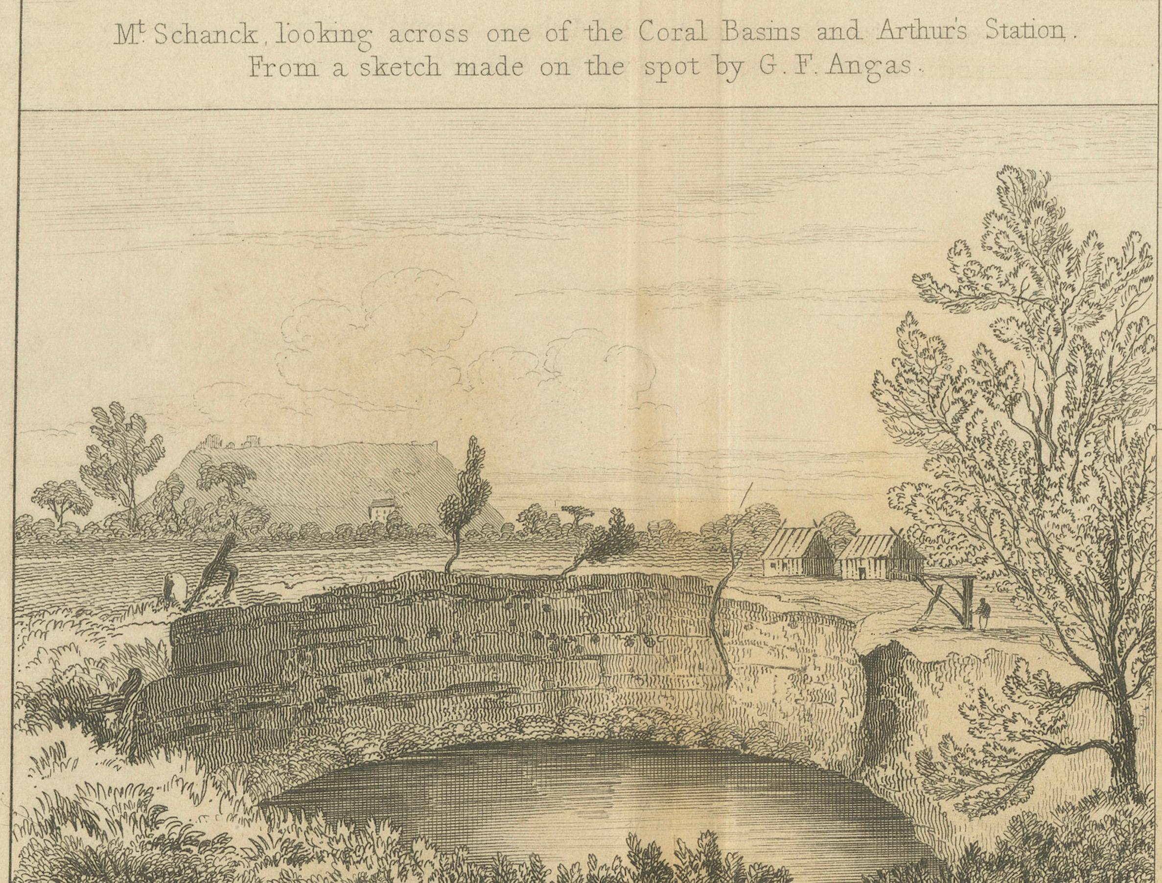
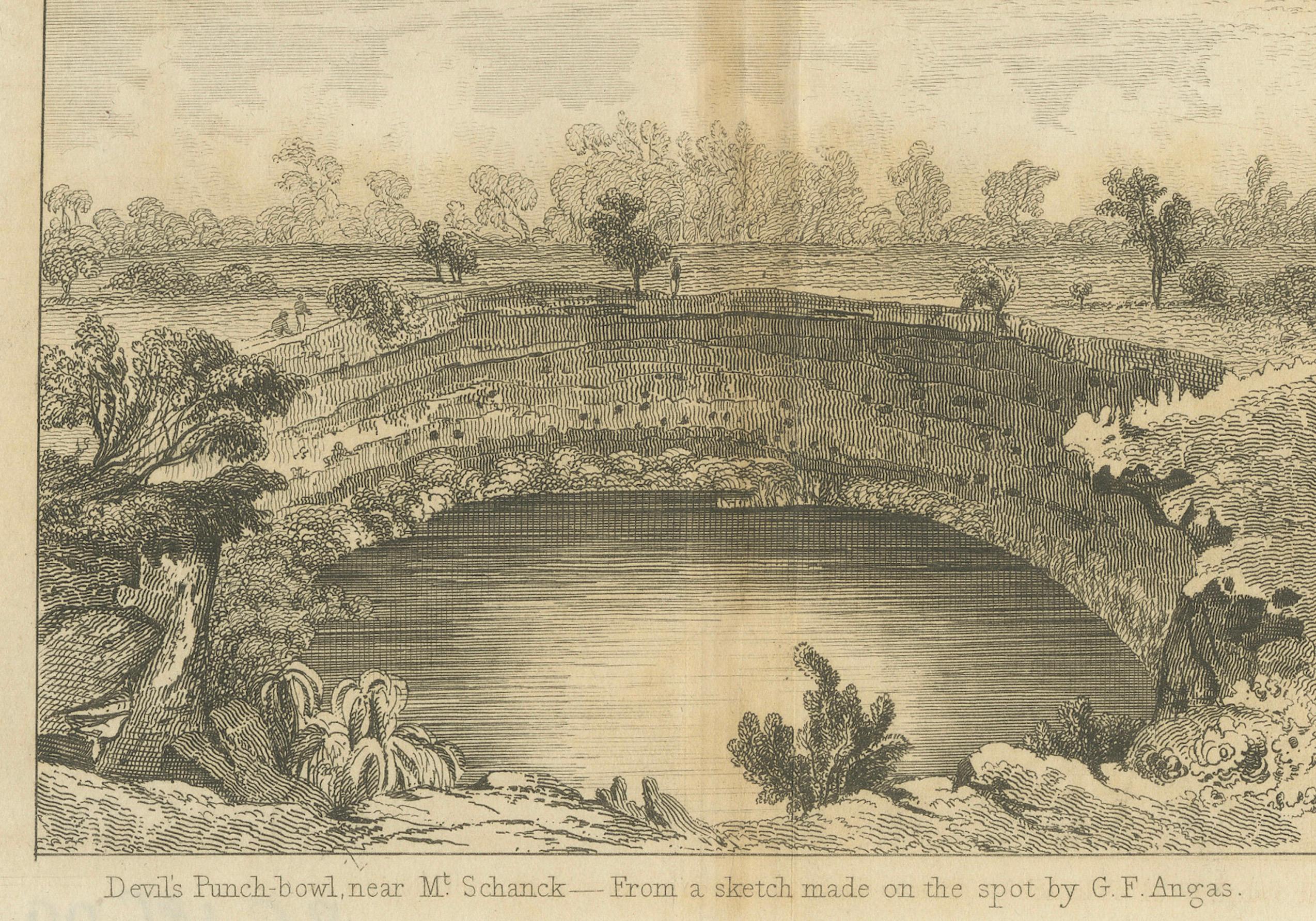
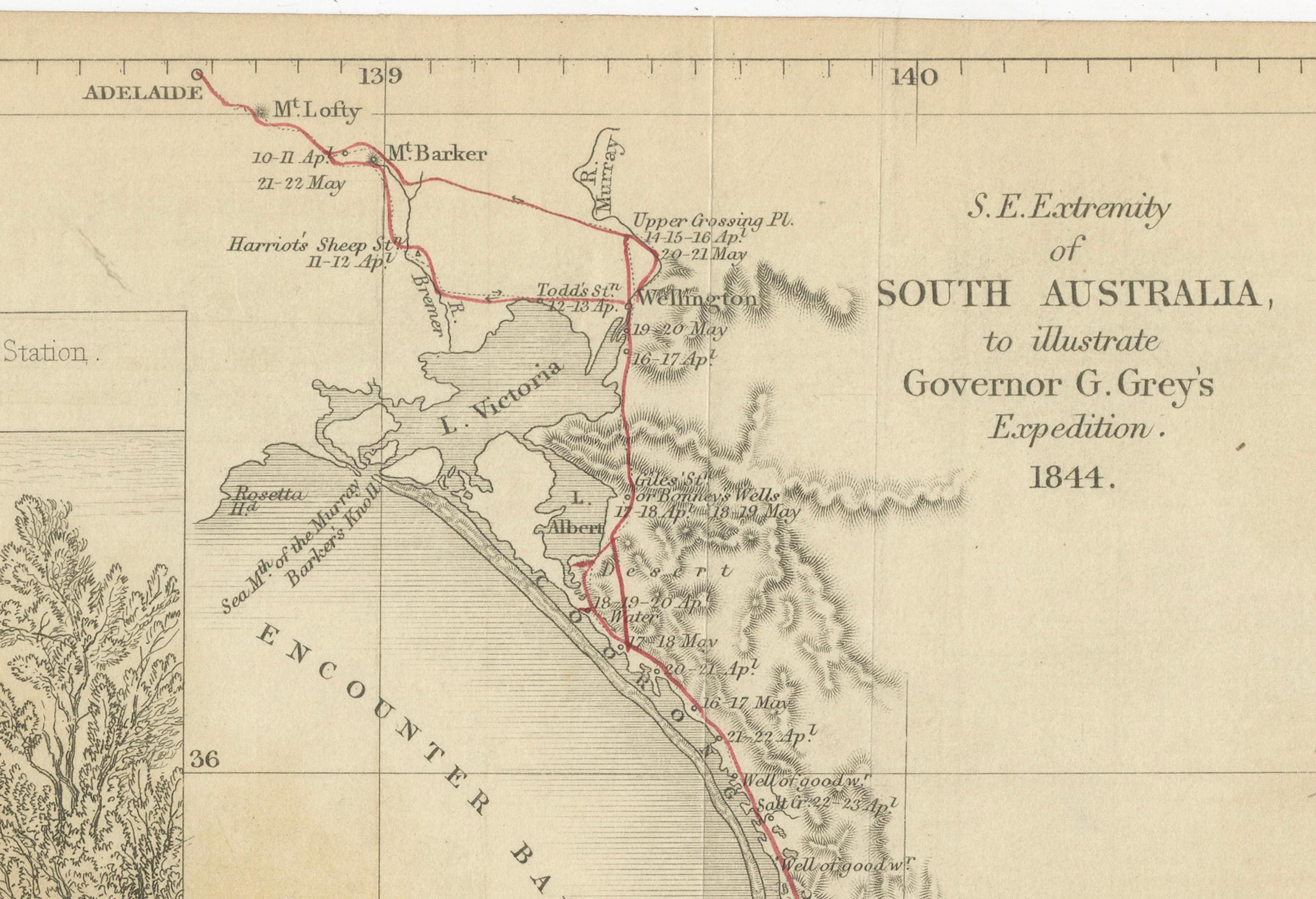
This is a historical document and part of a map and illustration from an expedition. The text indicates it is from South Australia to illustrate Governor G. Grey's Expedition in 1841. It includes detailed sketches of landscapes and geological formations, such as Mount Schank and Devil's Punchbowl near Mount Schank, based on sketches by G.F. Angas.
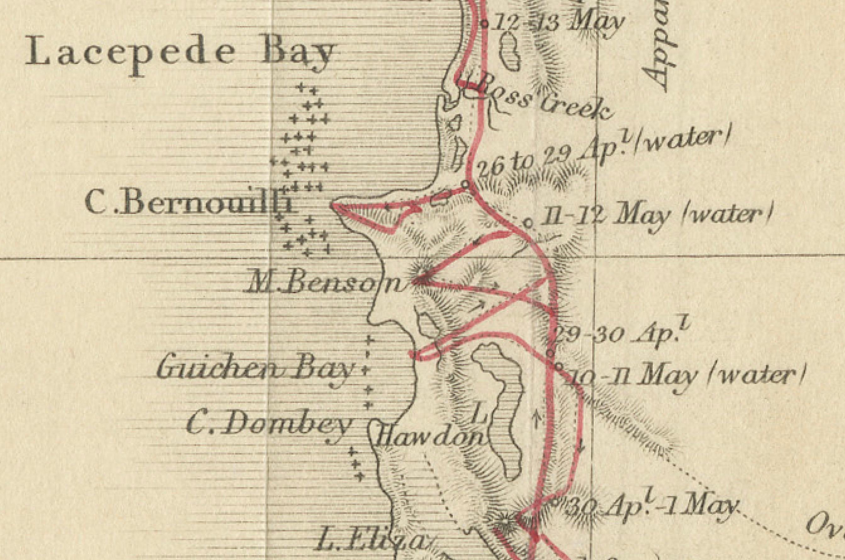
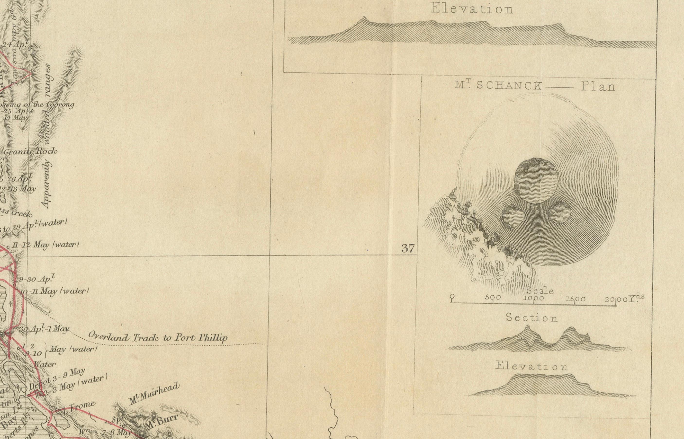
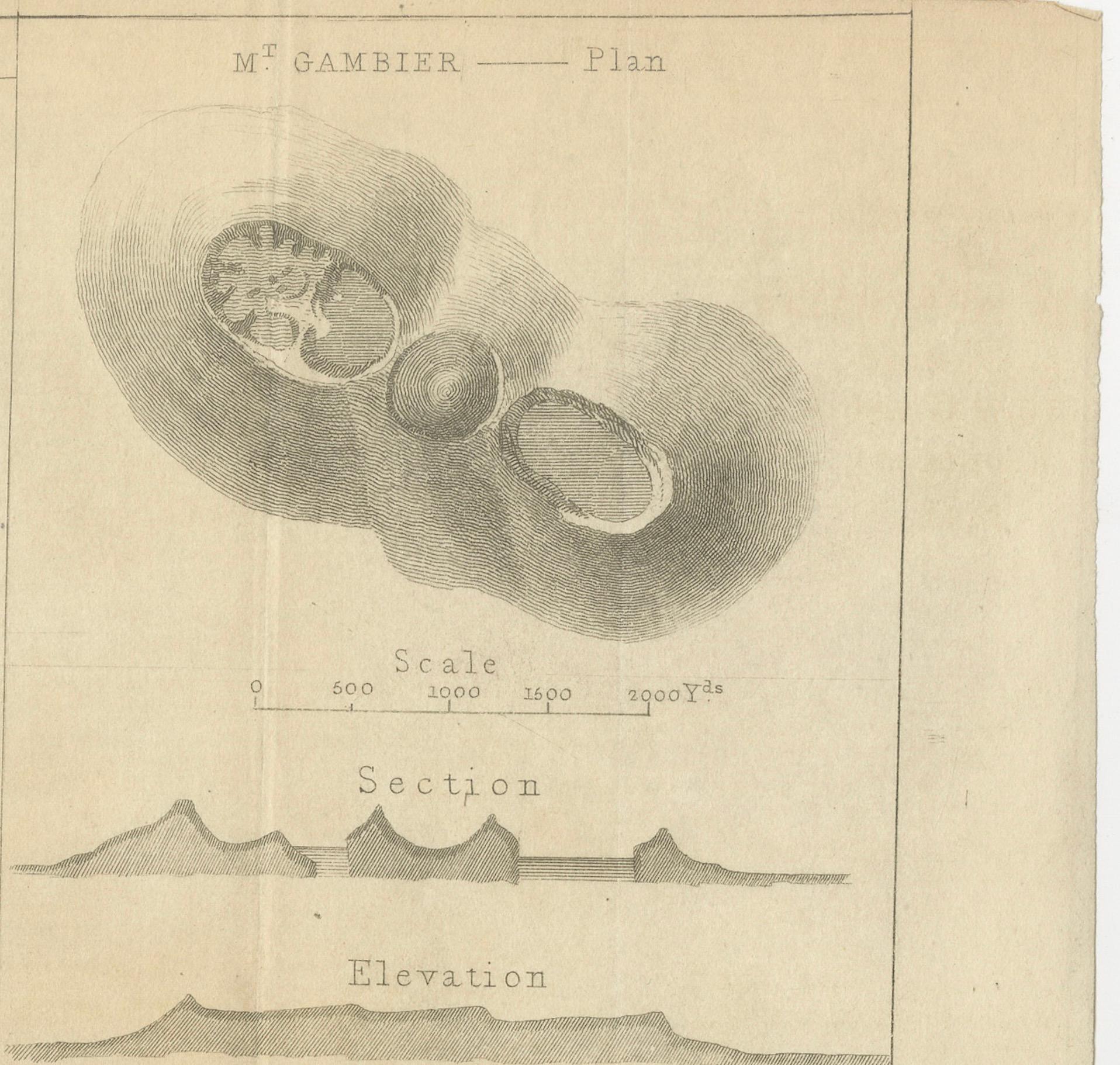
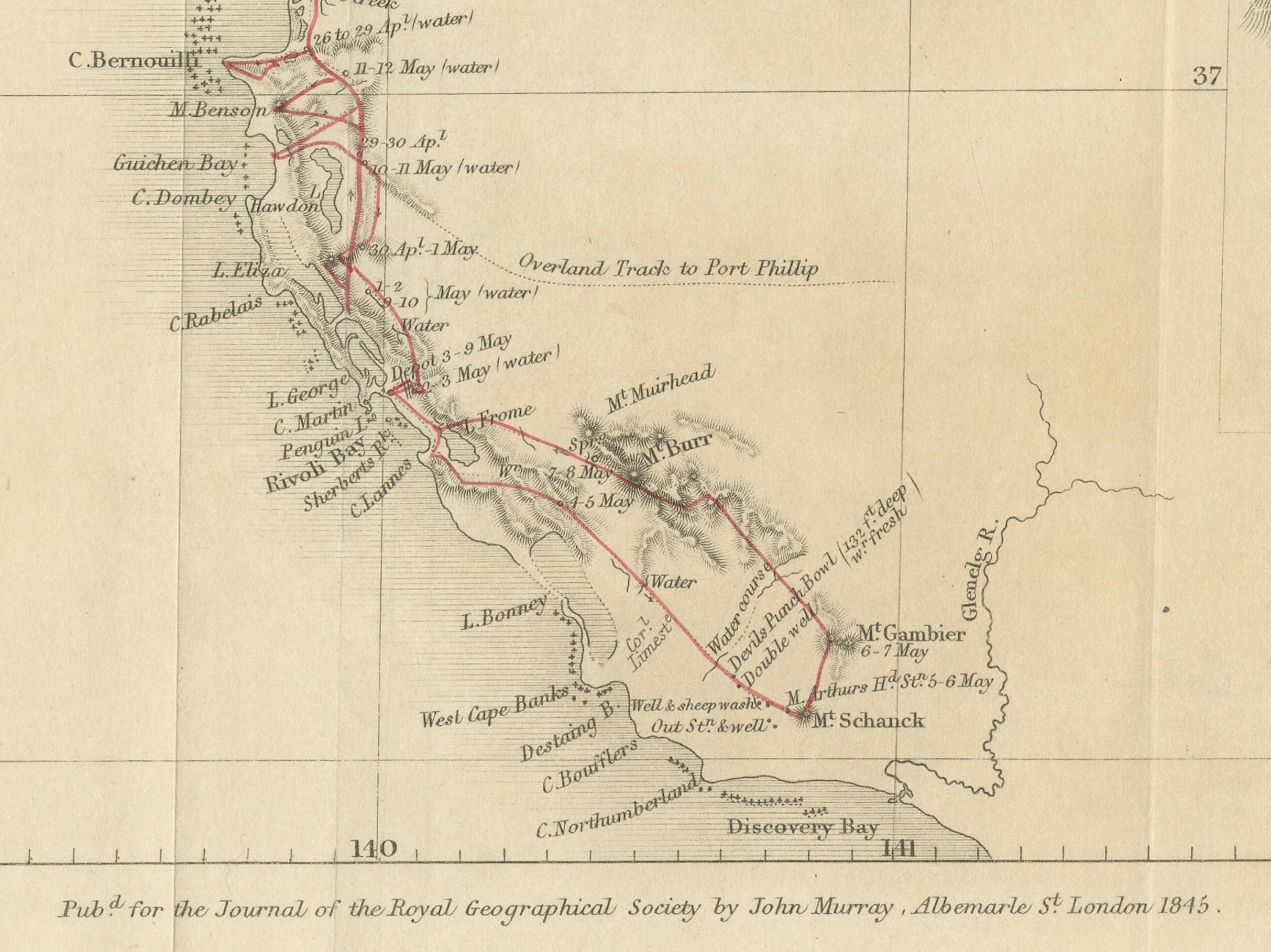
The map portion outlines a specific route with geographical names and landmarks, which are marked along the path of the expedition. On the right side of the document, there are detailed plans and sections of Mount Gambier and Mount Schank, showing their elevation and geological structure.
Such documents are valuable for understanding the history of exploration, geology, and cartography in Australia, particularly in the mid-19th century. Governor George Grey's expeditions were significant in the early European exploration of Australia, and the illustrations by George French Angas, a notable painter and lithographer, add a visual understanding of the terrain and significant natural landmarks they encountered.
Governor George Grey's expeditions, particularly the one illustrated here, were part of his broader exploratory work in Australia. Before his 1844 expedition in South Australia, Grey had undertaken significant explorations in Western Australia between 1837 and 1840. During these earlier expeditions, he traversed regions of Australia that were previously unexplored by Europeans, with the hope of discovering major rivers or inlets and assessing the land for its potential for colonization.
In the 1844 expedition in South Australia, Grey explored the southeastern extremity of the region, detailing his route along the coast from Encounter Bay to Discovery Bay, near Adelaide. The maps and illustrations created during this expedition, such as this one, included notations of significant geographical features, watering spots, and the routes taken. This particular expedition seemed to focus on areas with volcanic activity, as indicated by the detailed plans and elevations of Mount Schanck and Mount Gambier, as well as the sketches of the Devil's Punchbowl, which Grey described as filled with freshwater and nearly unfathomable.
Grey's expeditions contributed significantly to the understanding of the Australian landscape, especially in regions that were poorly documented at the time. His work helped to lay the groundwork for future settlement and development in these areas.