About this sheet
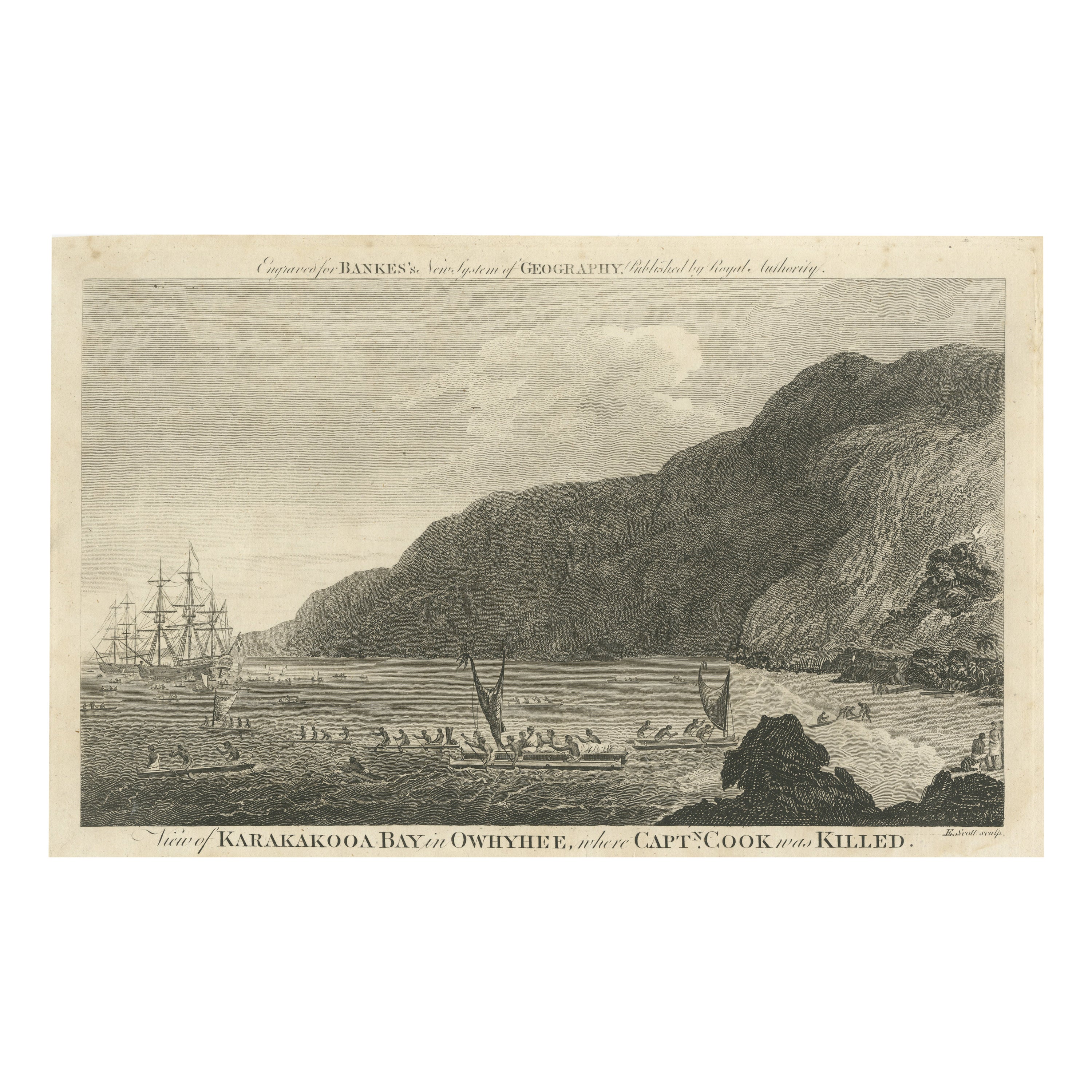
Copper engraving from Thomas Bankes’s “New System of Geography” published by Royal Authority c.1775
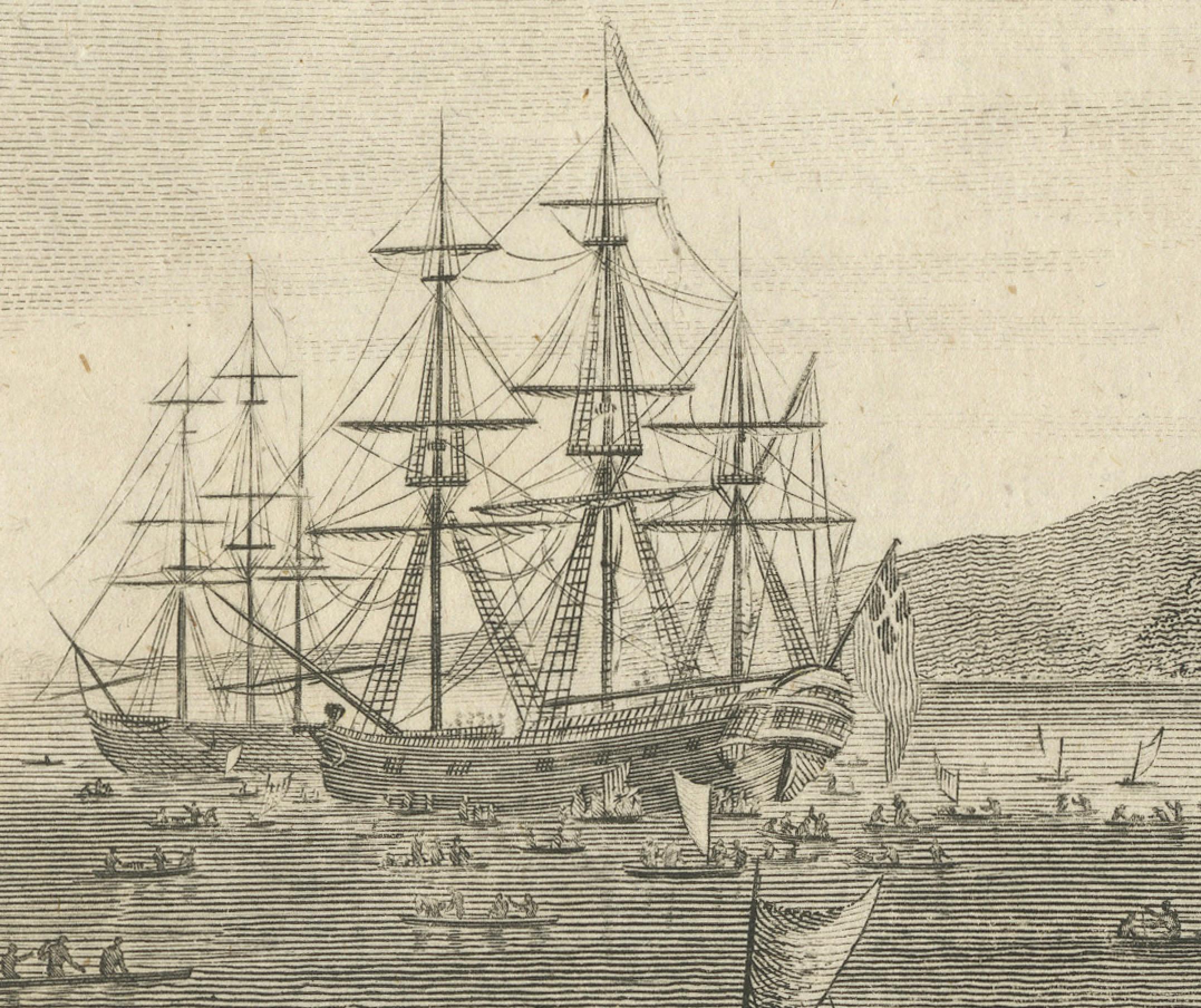
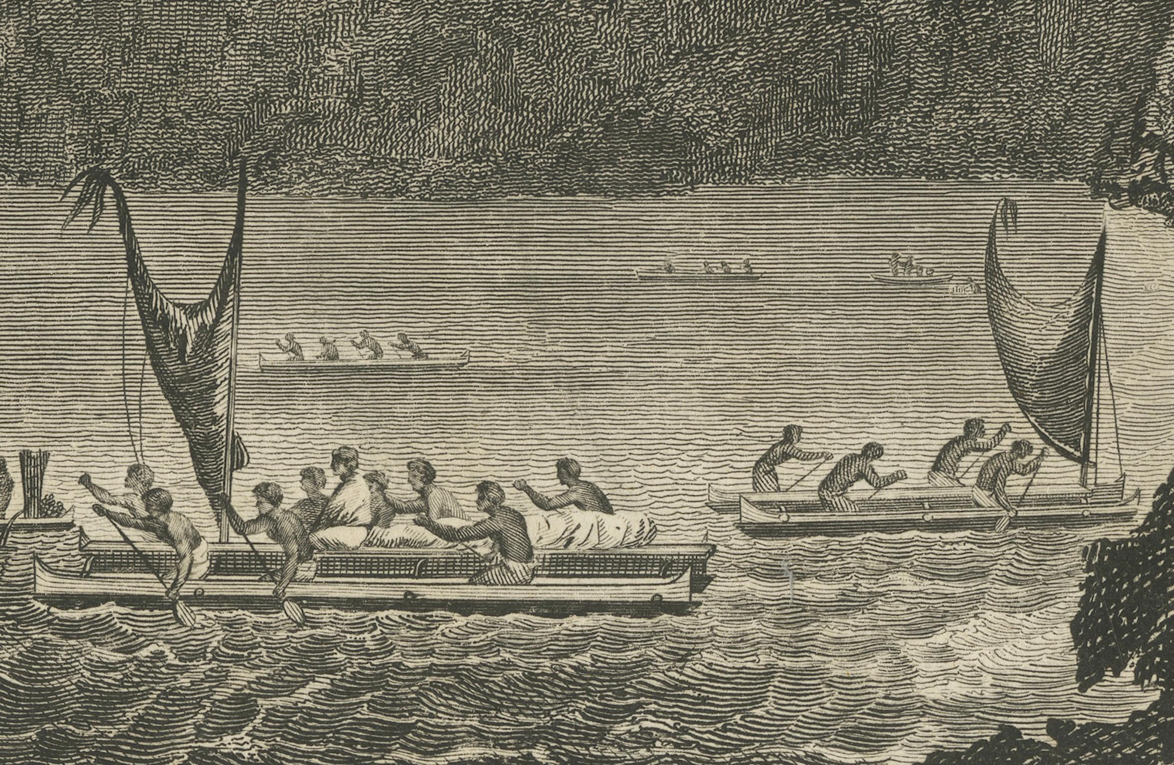
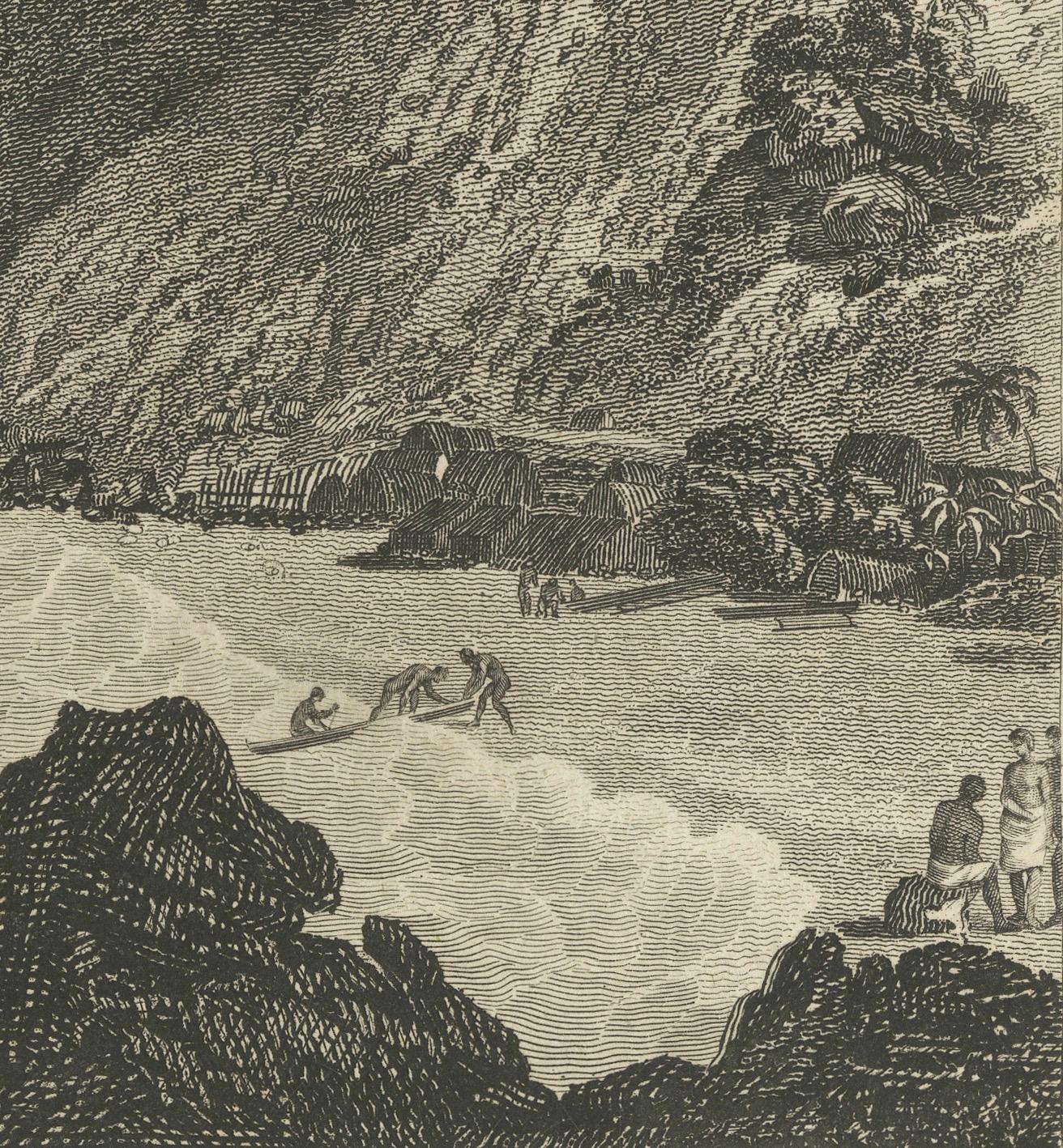
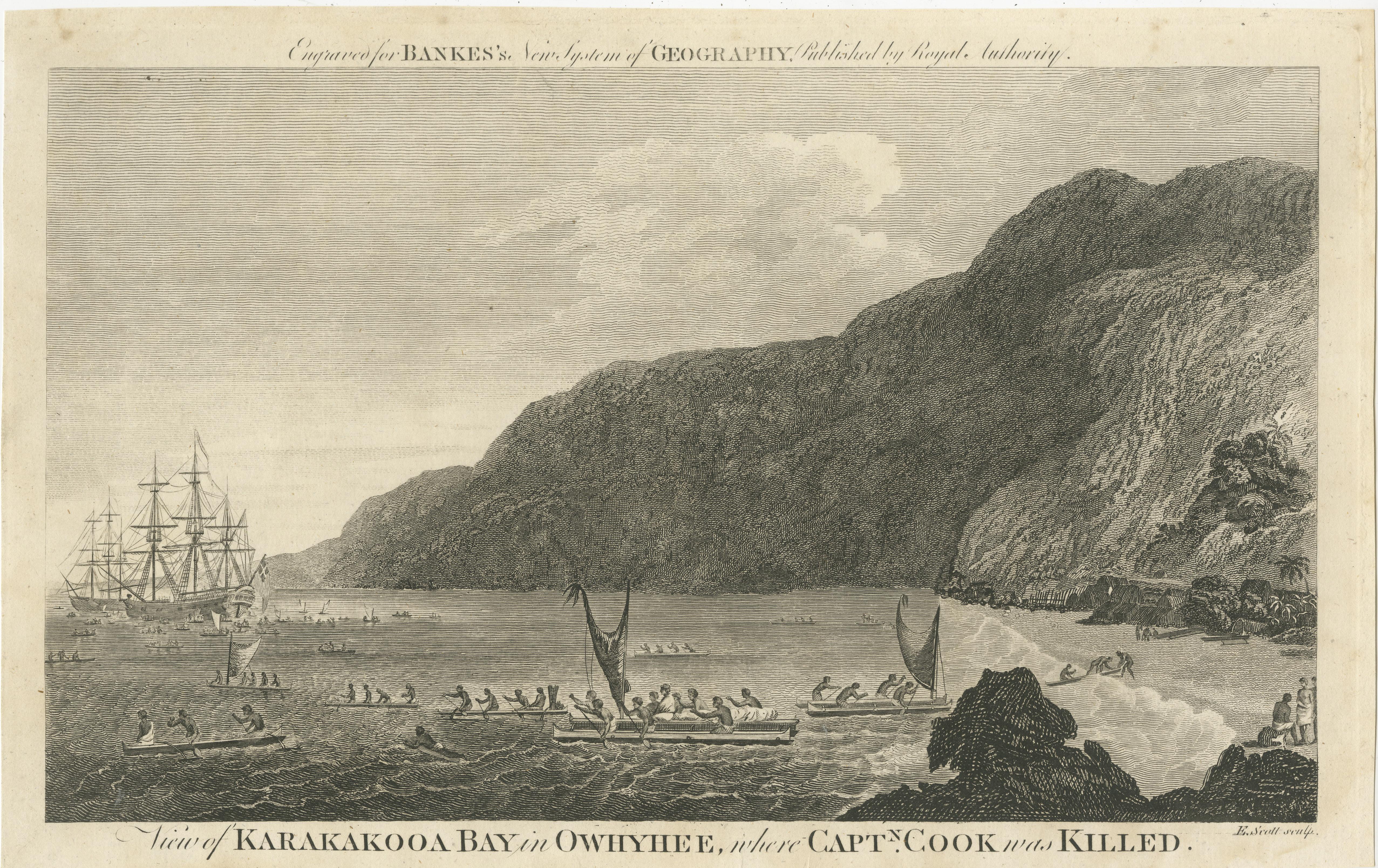
This engraving for sale depicts a scene of Karakakooa Bay in Owyhee (Hawaii), where Captain James Cook was killed. The image includes a number of canoes on the water and a European sailing ship, indicative of the interaction between the native Hawaiians and European explorers.
From the text within the image, it is engraved for "BANKES's New System of Geography Published by Royal Authority." The engraver's name appears to be "E. Scott, sculp." which indicates that E. Scott was the engraver (the term "sculp" is short for "sculpsit," which is Latin for "he (or she) engraved it").
The term "Owyhee" is an old spelling of "Hawaii," and this spelling was commonly used in the 18th century. Captain James Cook was killed at Kealakekua Bay on the Big Island of Hawaii in 1779, which suggests that this work was likely produced sometime after that event. However, without additional information on "BANKES's New System of Geography," it's difficult to determine the exact year this particular engraving was made.
This work likely is from:
Thomas Bankes, Edward Warren Blake, and Alexander Cook’s A New Royal Authentic and Complete System of Universal Geography (hereafter Thomas Bankes’s). A massive folio volume of 990 double-columned pages, this was a popular work, running to six editions in the years from 1775 to 1797
Thomas Bankes: 18th century collector of maps and engravings and vicar of Dixton, Monmouthshire, whose New and Authentic System of Universal Geography (London, C. Cooke, ca. 1788-90) compiled views from various countries, including some detailing the voyages of Captain James Cook.
Geographers of the seventeenth and early eighteenth centuries recognized two great divisions of their discipline. These were ‘General’ or ‘Universal’ geography, which dealt with ‘the whole Earth in general, and explain[ed] its properties without regard to particular countries’.