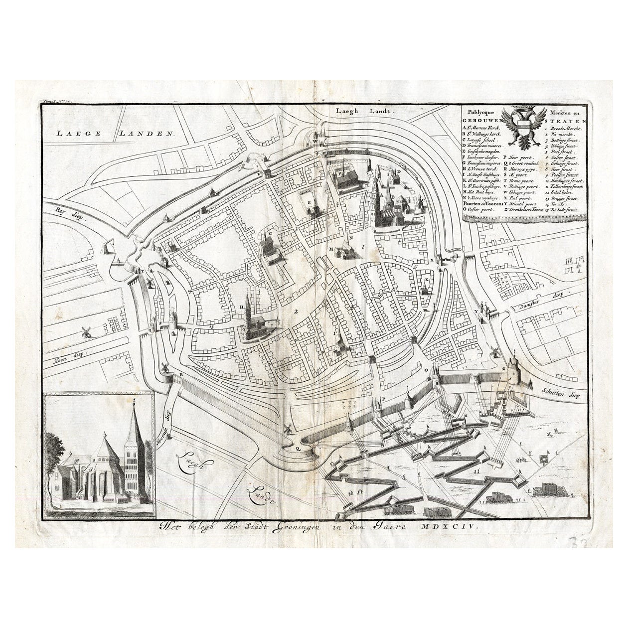
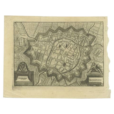
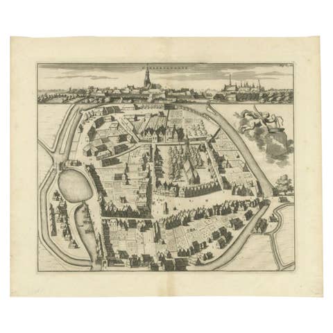
Antique Map of the Siege of Groningen by Le Clerc, 1730
€ 150
Original antique · The actual sheet photographed · Certificate of authenticity on request · Sold unframed · Worldwide shipping from € 15 (rates)
Date
1730
Sheet size
31 × 38 cm (12.2 × 15.0 in)
Condition
Good
Reference
PCT-20263
What the condition grades mean
Excellent
Bright and clean, with no faults worth mentioning.
Very good
Only light signs of age, such as faint toning.
Good
Normal signs of age for a sheet of this period: toning, some foxing, small marks or neat old repairs.
Fair
Clear faults such as staining, tears or repairs, priced to match.
Every fault we see is written in the condition note, and the whole sheet is shown uncropped in the photos.
Condition
Good, given age. A few spots in the margins. Original folds as issued. General age-related toning and/or occasional minor defects from handling. Please review the images for further condition details.
About this sheet
Plate : 'Het Belegh der Stadt Groningen in den Jaere MDXCIV '. (The siege of Groningen in the year 1594.) This plate shows the fortified city of Groningen, The Netherlands. With legend. This attractive original old antique print / plate was published in several works by Hugo de Groot ('Nederlandtsche Jaerboeken' published in 1681.), P.C. Hooft ('Nederlandsche Historien ...', published 1703-1704.), P.C. Bor ('Oorsprongk, begin, en vervolgh der Nederlandsche oorlogen', published in 1680.)or Jean Le Clerc. This print originates from: 'Histoire des Provinces-Unies des Pays Bas...', or 'Geschiedenissen der Vereenigde Nederlanden...' by Jean Le Clerc, 1723-1728 or 1730.
Artists and Engravers: The author of this work is Jean Le Clerc / Joannes Clericus (1657-1736). From Hugenot origin, he studied filosophy, hebrew and theology in Geneva and traveled in Europe. He objected the calvinistic orthodoxie and influenced by Grotius, Episcopius, Van Limborch and others, he moved to Amsterdam, where he became a Remonstrant. He became a professor at the Remonstrant seminary, a writer and publisher.