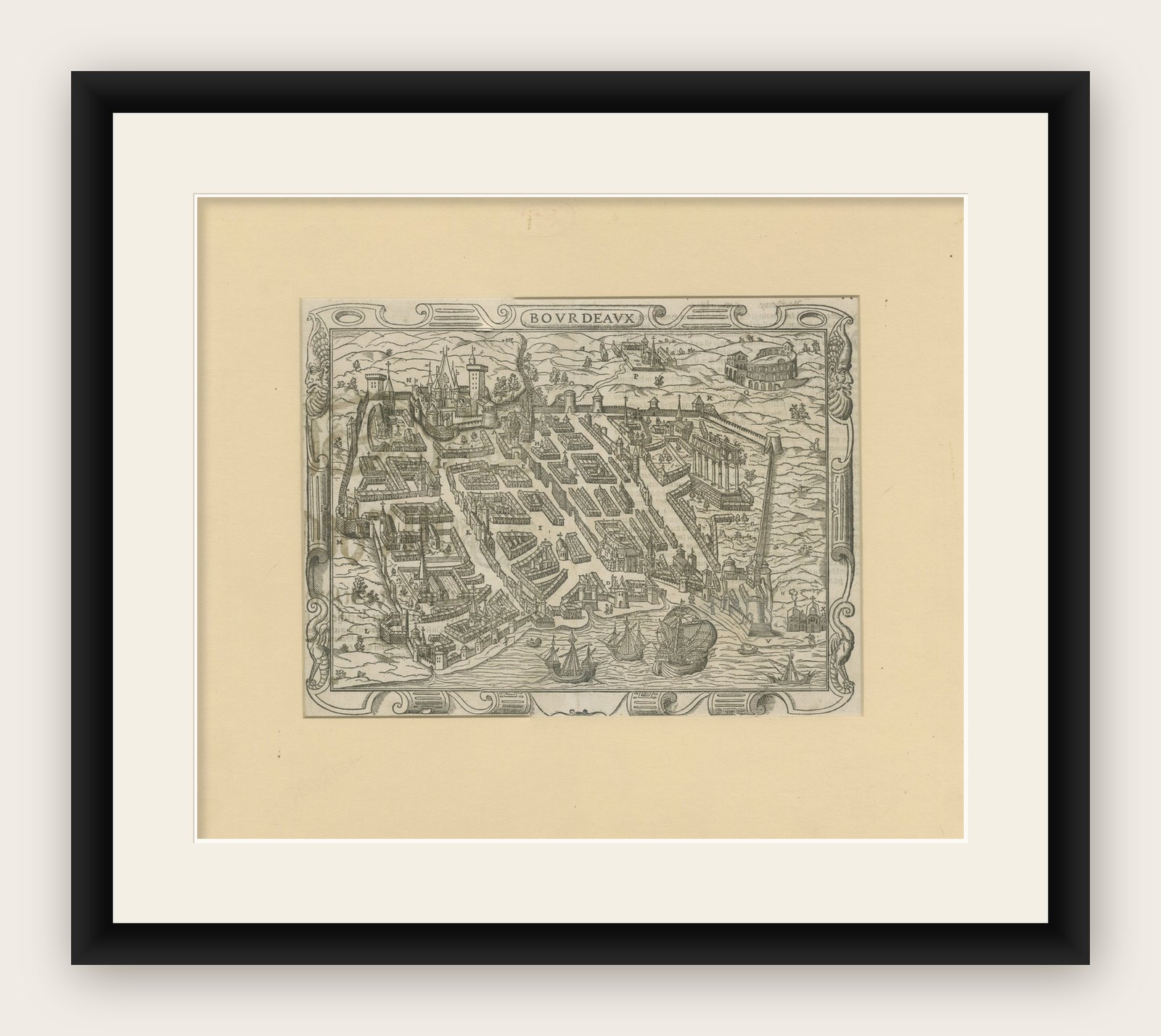
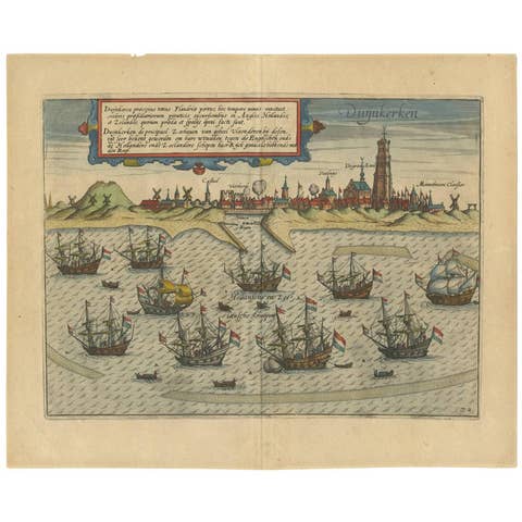
Bordeaux City View – Braun & Hogenberg Original Woodcut, ca. 1575
€ 740
Original antique · The actual sheet photographed · Certificate of authenticity on request · Sold unframed · Worldwide shipping from € 15 (rates)
Date
1575
Mapmaker / artist
Georg Braun & Frans Hogenberg, Cologne, ca. 1575
Technique
Woodcut with letterpress on verso
Sheet size
33 × 40.5 cm (13.0 × 15.9 in)
Condition
Good
Reference
BG-12875-2
What the condition grades mean
Excellent
Bright and clean, with no faults worth mentioning.
Very good
Only light signs of age, such as faint toning.
Good
Normal signs of age for a sheet of this period: toning, some foxing, small marks or neat old repairs.
Fair
Clear faults such as staining, tears or repairs, priced to match.
Every fault we see is written in the condition note, and the whole sheet is shown uncropped in the photos.
Condition
Good impression on laid paper with wide margins. Letterpress text on the reverse, with some show through on the left. Light age-toning and minor foxing in the margins. No tears or restorations. Plate mark and woodcut lines are sharp and well-defined.
About this sheet
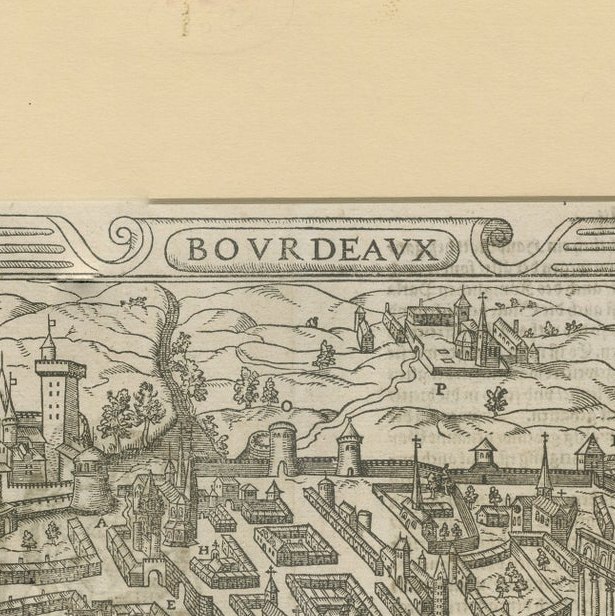
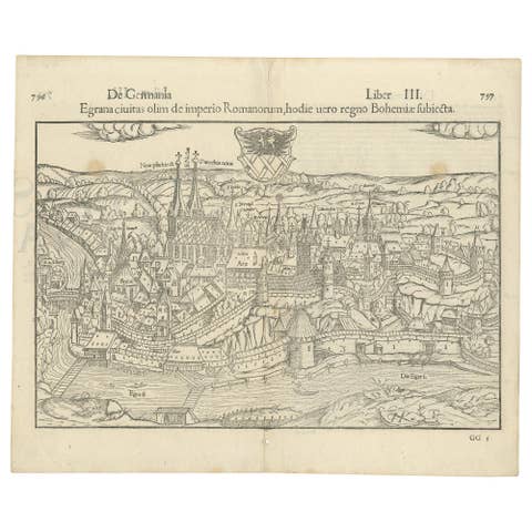
Bordeaux City View – Braun & Hogenberg Original Woodcut, ca. 1575 This detailed and highly decorative bird’s-eye view of Bordeaux, titled Bovrdeavx, originates from the renowned 16th-century city atlas Civitates Orbis Terrarum, compiled by Georg Braun and engraved by Frans Hogenberg. First published in Cologne between 1572 and 1617, the Civitates is considered the most important and comprehensive collection of early modern city views ever produced.
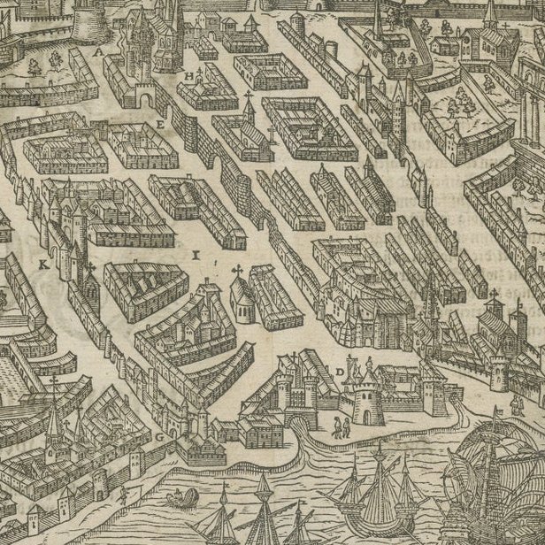
The engraving shows the French port city of Bordeaux as it appeared in the mid-16th century, viewed from the Garonne River, with ships sailing into the harbor and prominent buildings rising from the fortified city. The layout reveals the structured street plan, with marketplaces, churches, towers, and surrounding vineyards and countryside. A detailed legend in the left margin identifies key structures (A to N), including the Cathedral of Saint-André, the Grosse Cloche, and the Roman amphitheater.
Rich Renaissance-style cartouches frame the view, with stylized scrollwork and corner embellishments. The reverse side features letterpress text in Gothic type, providing a contemporary description of the city in Latin or German. This helps to authenticate the print as part of an early edition of the atlas, likely from around 1575–1580.
This map is both a beautiful decorative object and a valuable historical document, offering a rare visual insight into urban life and city planning during the Renaissance. Collectors prize Braun & Hogenberg views for their artistic merit, historical accuracy, and geographical interest.
Condition report: Good impression on laid paper with wide margins. Letterpress text on the reverse. Light age-toning and minor foxing in the margins. No tears or restorations. Plate mark and woodcut lines are sharp and well-defined. A well-preserved and authentic example of early modern cartography.
Framing tips: This piece deserves archival framing with a wide ivory or antique-white mat and a dark wood or gold-accented Renaissance-style frame. UV-protective glass is recommended to preserve the early paper and ink.