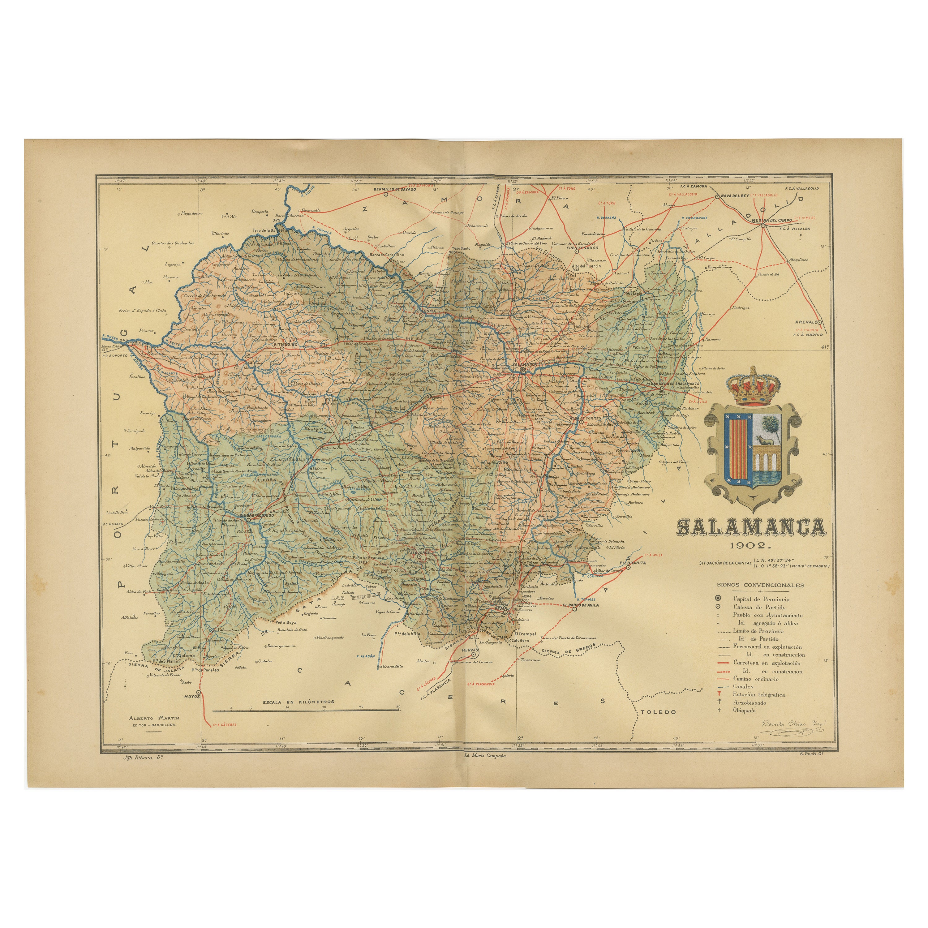
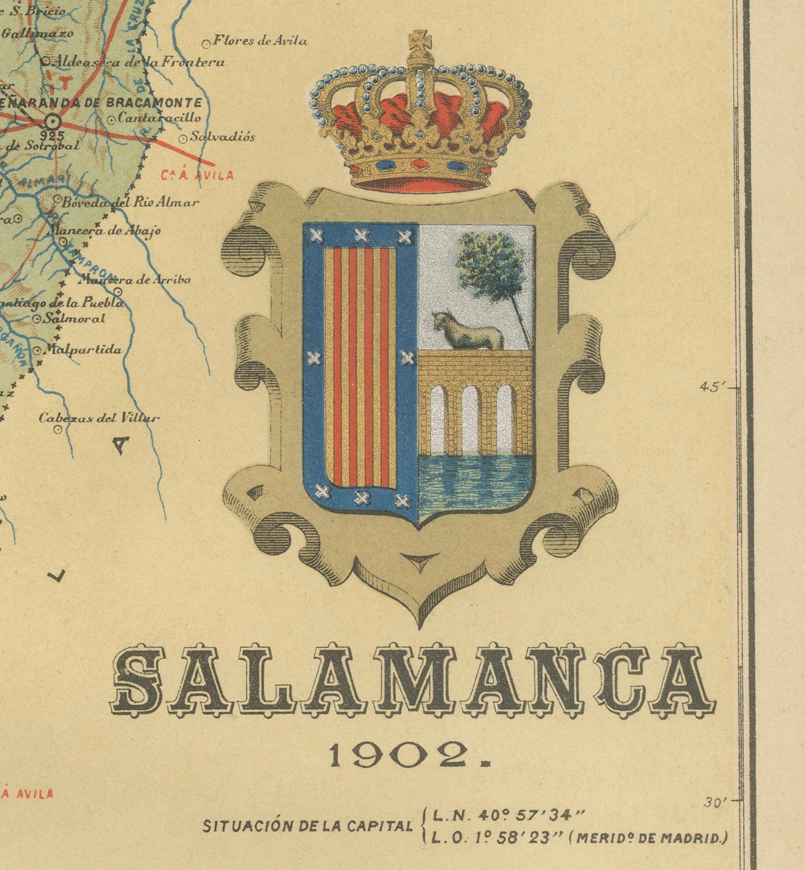
1902 Cartographic View of Salamanca: The Golden Province of Spain
€ 340
One of a kind: this is the sheet in the photographs. Ships from Langweer, the Netherlands.
Date
1902
Sheet size
37.5 × 51 cm (14.8 × 20.1 in)
Condition
Good
Reference
BG-13642-35
Condition
Good condition. Central vertical folding lines as issued. Aged paper with typically warm, yellowish-brown hue, especially around the edges. Check the images carefully.
About this sheet
This map showcases the province of Salamanca in the year 1902. Salamanca is located in the autonomous community of Castile and León in western Spain. It is bordered by the provinces of Zamora, Valladolid, Ávila, and Cáceres, and is situated close to the Portuguese border.
Salamanca is renowned for its rich cultural heritage, including the University of Salamanca, which is one of the oldest universities in Europe and contributes to the province's reputation as a center of learning and education. The province features a varied landscape with mountains, such as the Sierra de Francia, and the Duero and Tormes rivers providing natural beauty and resources.
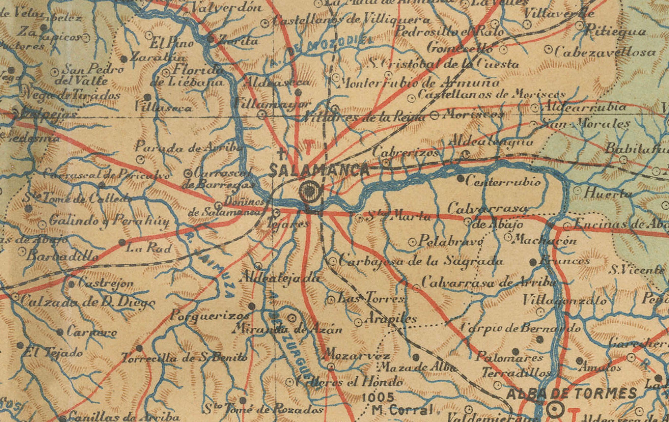
The historical city of Salamanca, the province's capital, is known for its golden sandstone architecture, which has earned it the nickname "La Dorada" (The Golden City). It's a UNESCO World Heritage site, replete with historic buildings, including two cathedrals, the Casa de las Conchas, and the Plaza Mayor, which is one of the most beautiful squares in Spain.
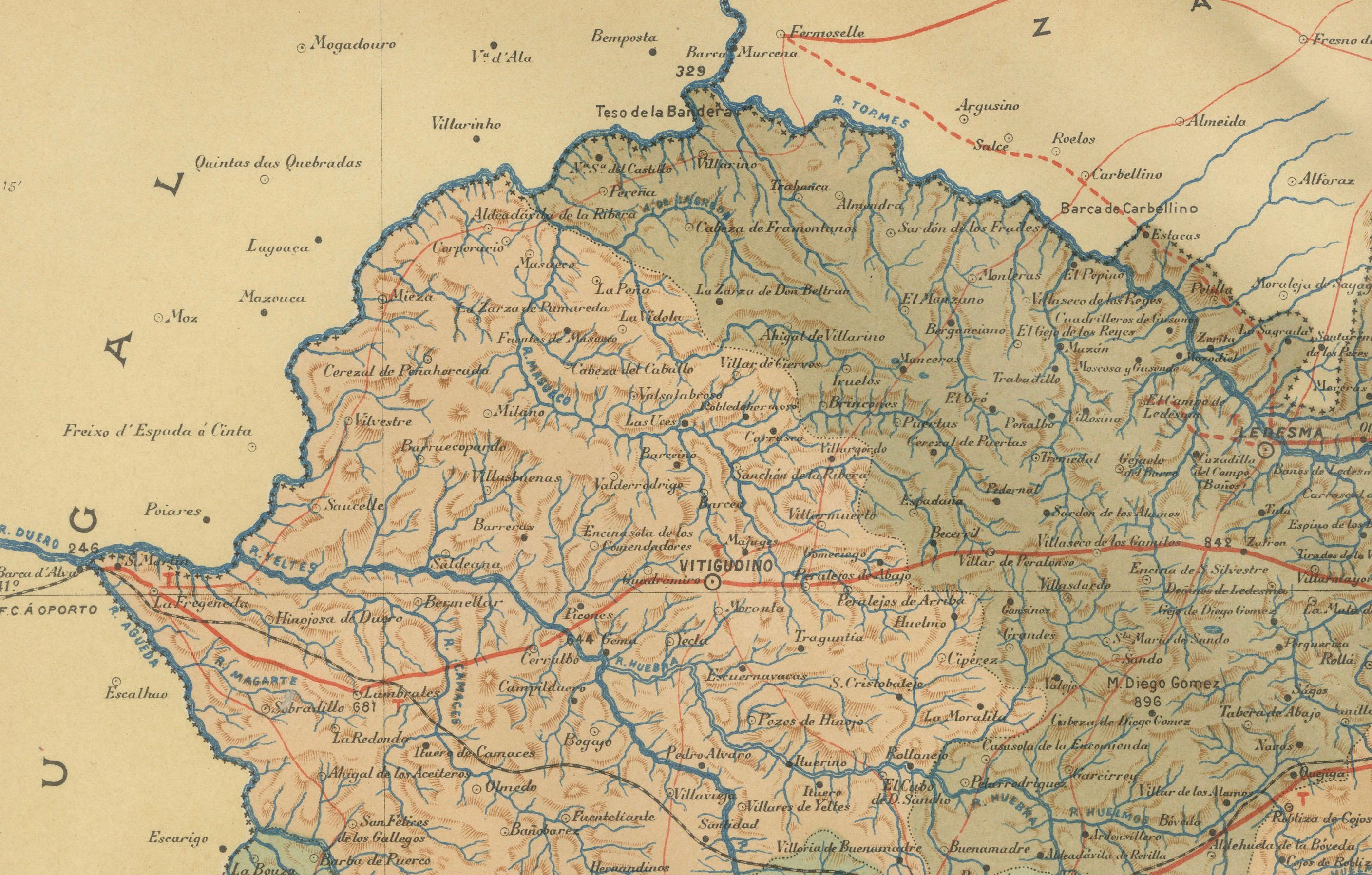
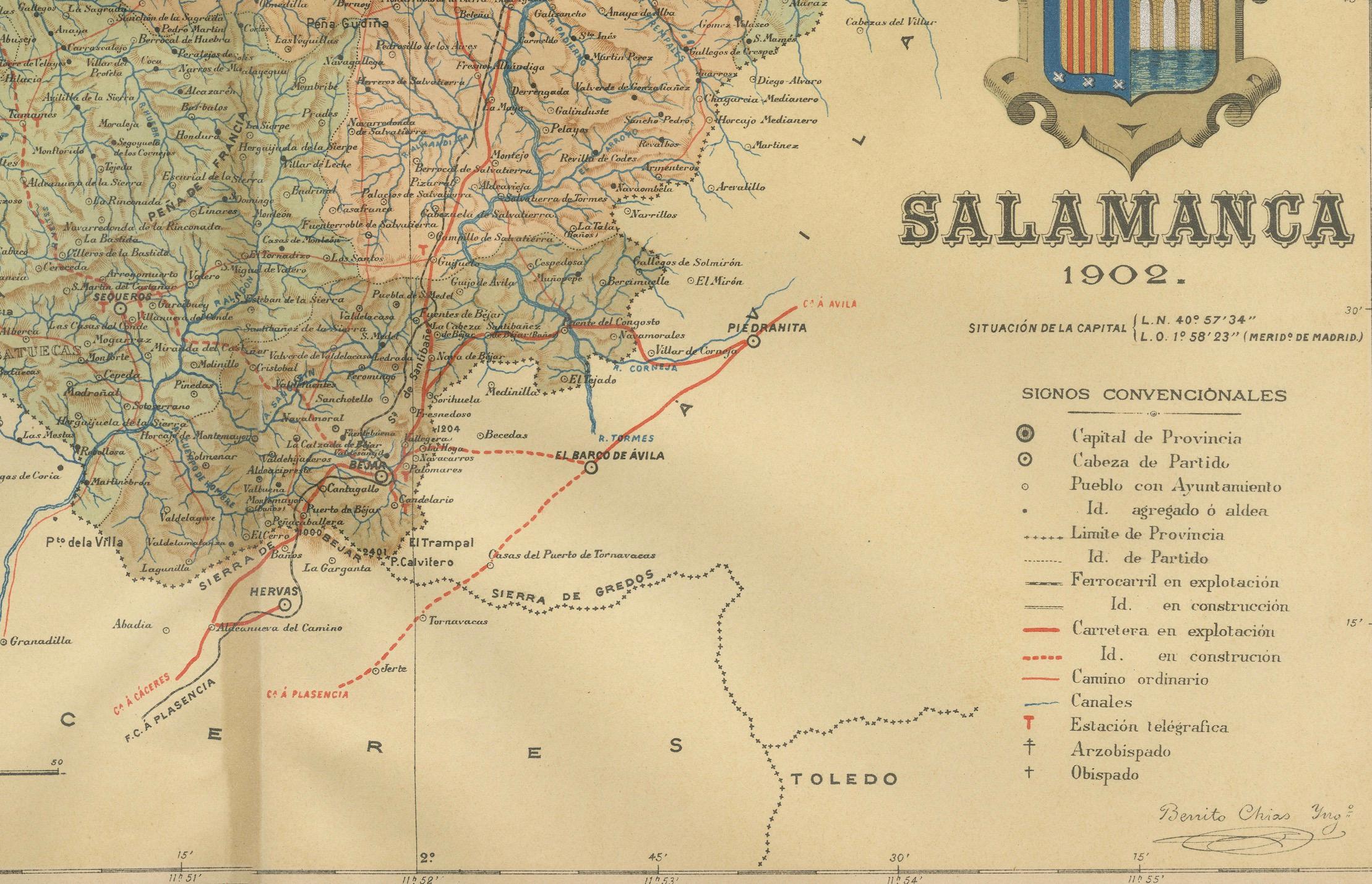
The map details the geography of the province with its road networks, railway lines, and natural features like rivers and mountain ranges, as they existed in the early 20th century.