Antique Caribbean Island Group Panorama - Dutch West Indies Seascape, 1888
€ 240
Original antique · The actual sheet photographed · Certificate of authenticity on request · Sold unframed · Worldwide shipping from € 15 (rates)
Date
1888
Sheet size
19 × 28 cm (7.5 × 11.0 in)
Condition
Good
Reference
BG-14171-13
What the condition grades mean
Excellent
Bright and clean, with no faults worth mentioning.
Very good
Only light signs of age, such as faint toning.
Good
Normal signs of age for a sheet of this period: toning, some foxing, small marks or neat old repairs.
Fair
Clear faults such as staining, tears or repairs, priced to match.
Every fault we see is written in the condition note, and the whole sheet is shown uncropped in the photos.
Condition
Good original condition. Light overall age toning throughout the sheet. Very minor scattered foxing visible in the margins. No tears or losses observed. Image areas remain clean and well preserved.
About this sheet
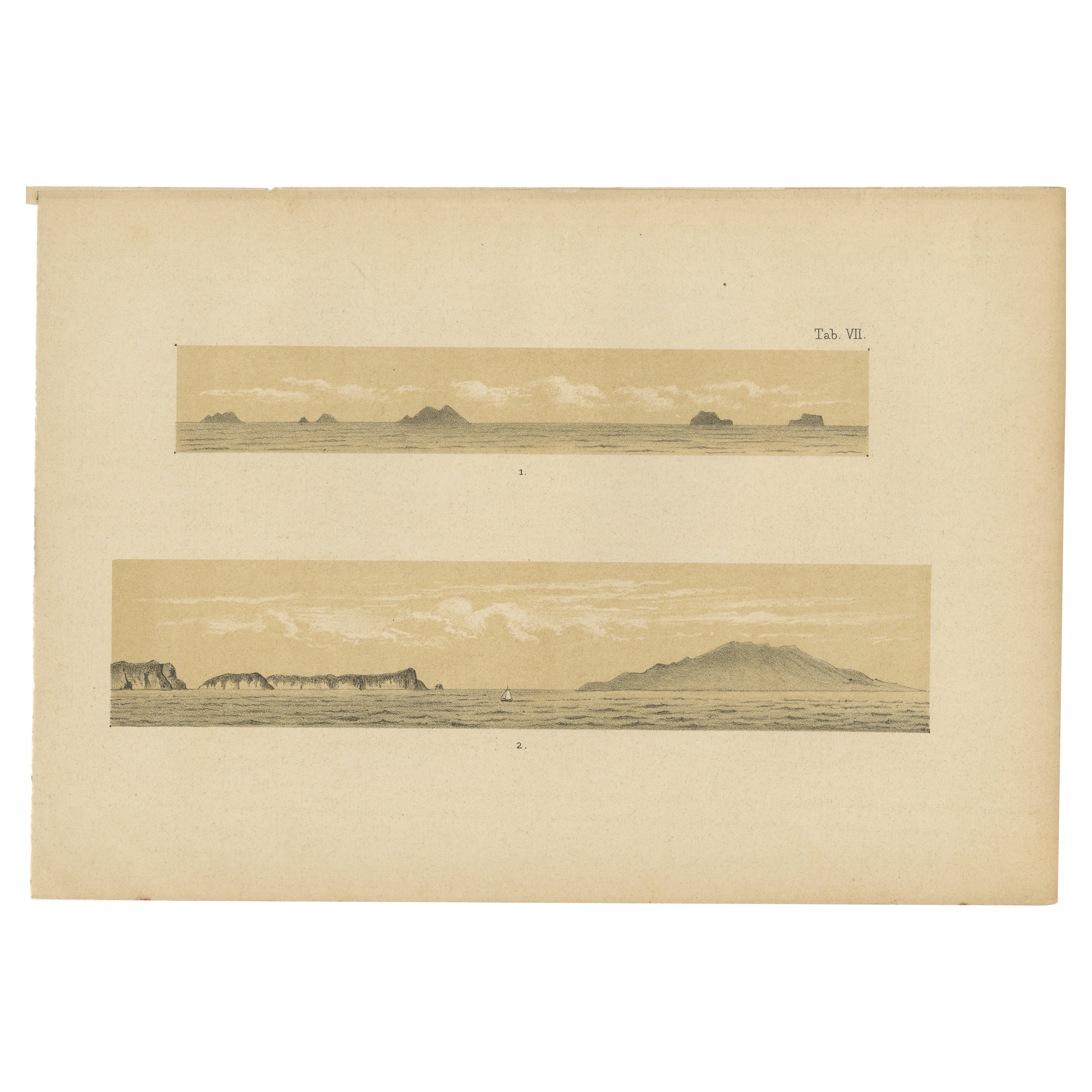
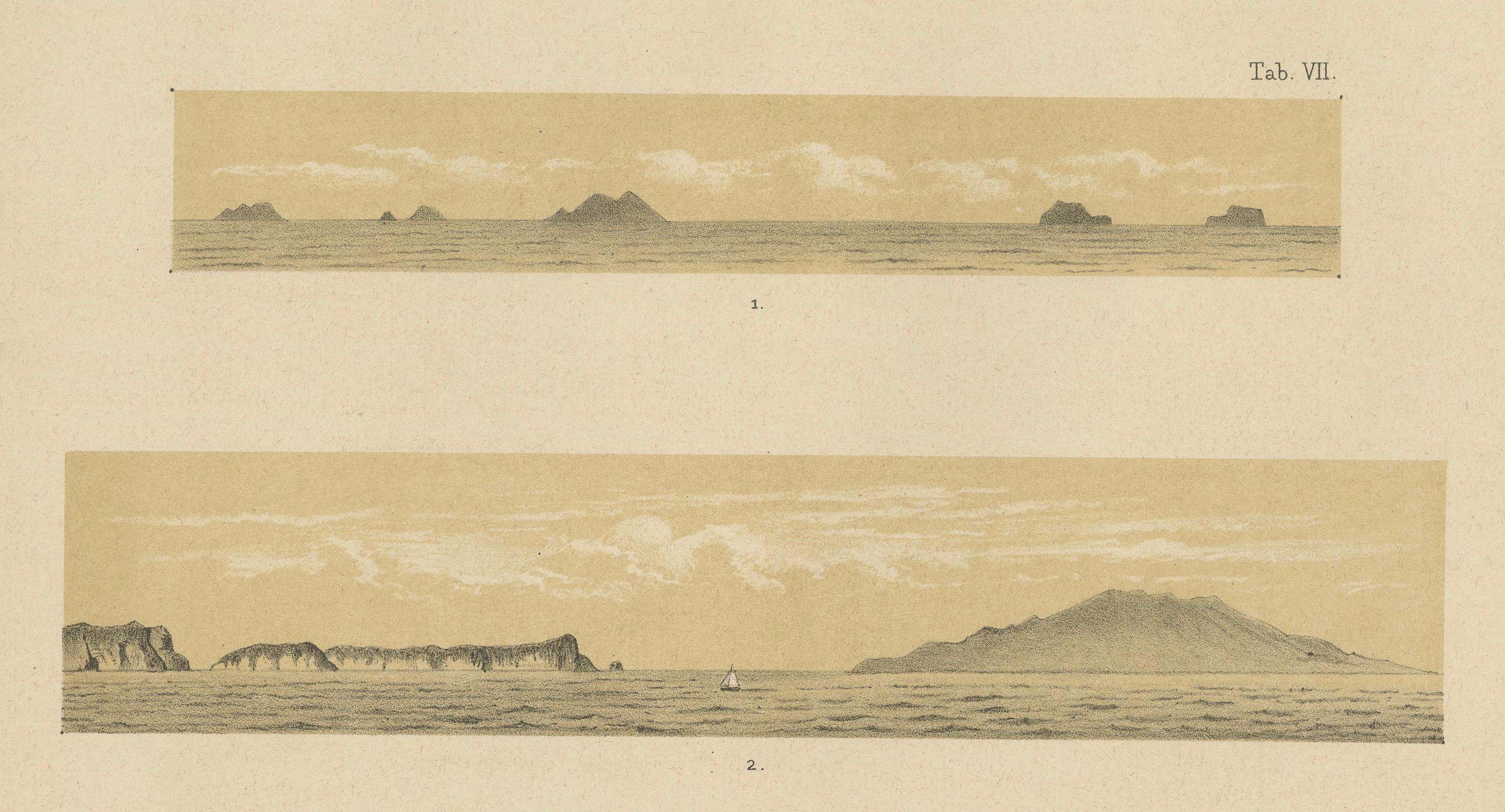
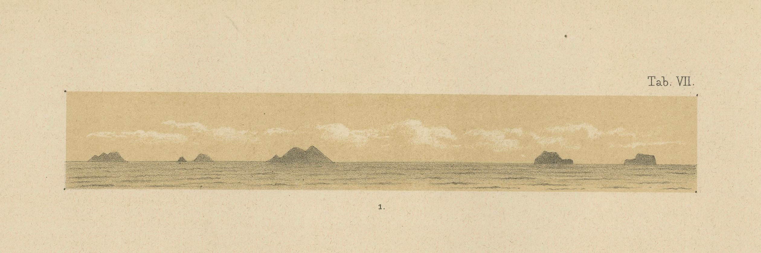
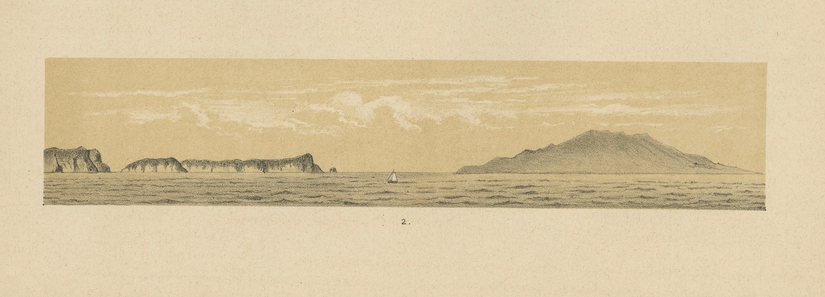
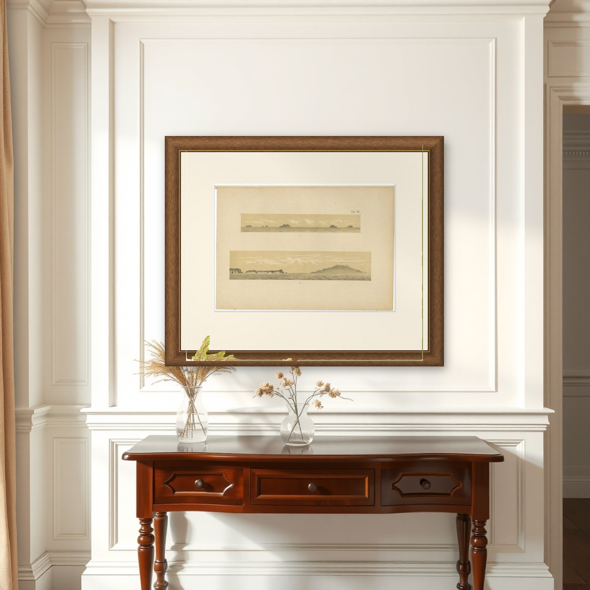
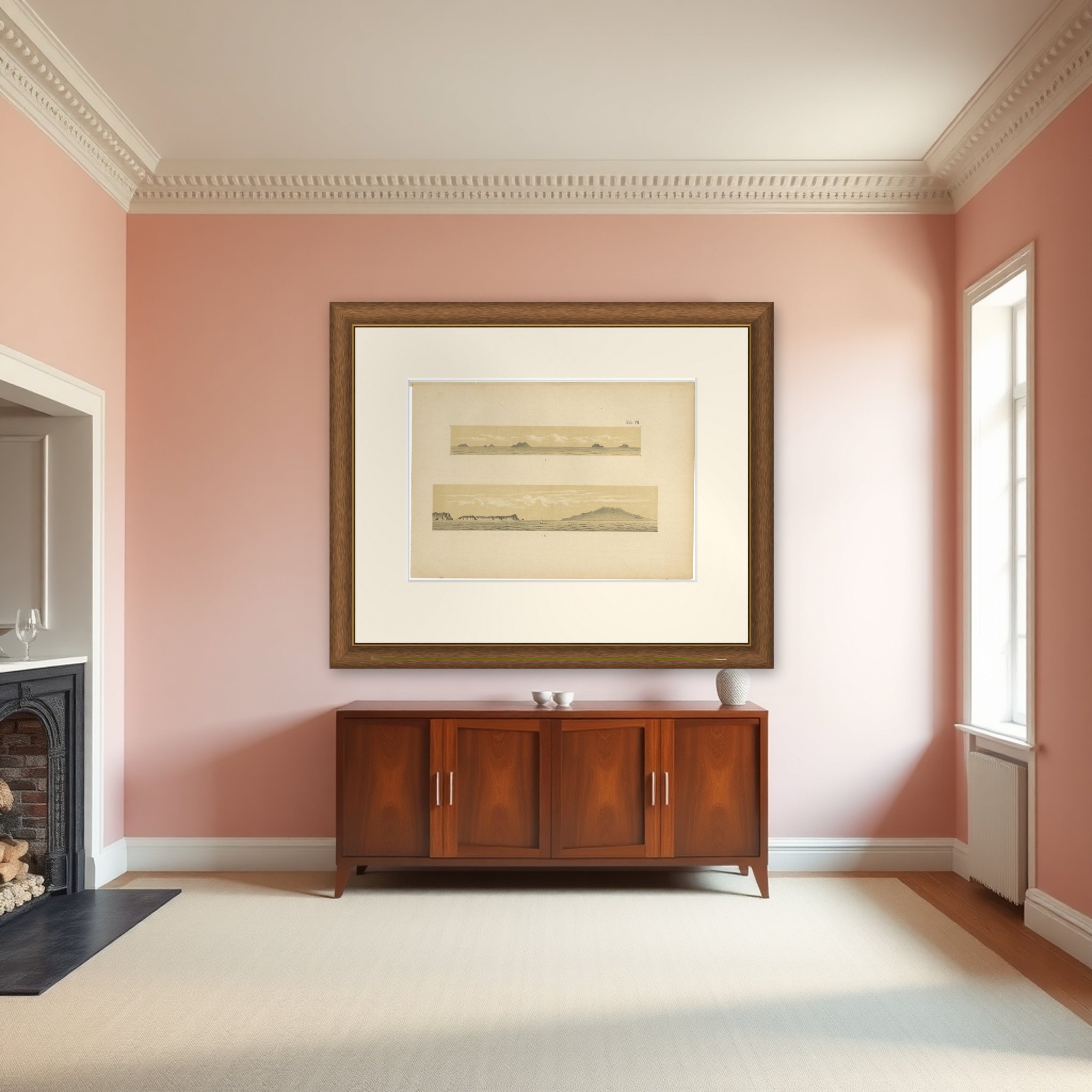
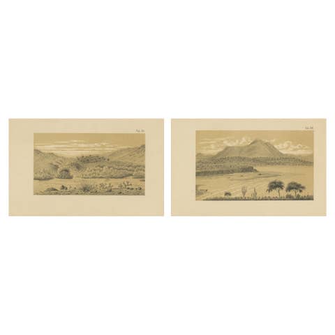
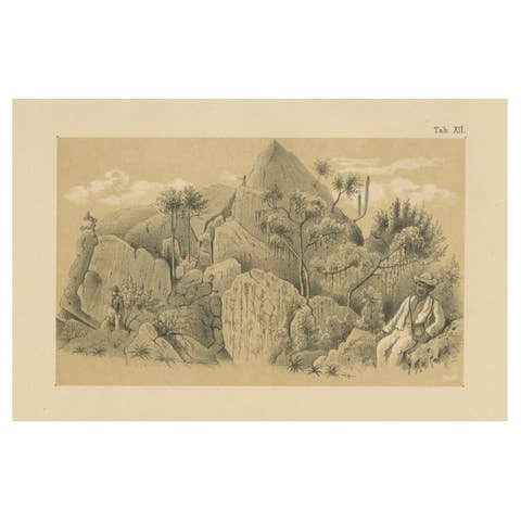
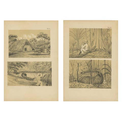
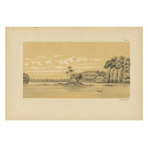
Two island profiles seen from the sea, an original lithograph from Karl Martin's Bericht uber eine Reise nach Niederlandisch West-Indien, published at Leiden by E. J. Brill in 1888. The plate is lettered "Tab. VII" at the upper right and is printed in gray with a buff tint stone, with the two views numbered 1 and 2.
View 1 is a long, narrow strip showing a row of low rocky islets and small peaks rising from a flat sea under scattered clouds. View 2, below it, is a wider panorama in which a line of steep, flat-topped cliffs at the left is separated by open water from a broad, dome-shaped island at the right, with a single small sailing boat in the middle distance. Fine horizontal hatching describes the water and the sky.
Profile views of this kind were drawn so that islands and coasts could be recognized from a ship and compared with the geological observations in the report. The old description places the group between Trinidad and the Venezuelan mainland. Martin, a professor of geology at Leiden, included such views among the plates of his expedition report.