Views of St. Denis and St. Paul, Île de Bourbon – Antique French Engraving, 1790
€ 340
Original antique · The actual sheet photographed · Certificate of authenticity on request · Sold unframed · Worldwide shipping from € 15 (rates)
Date
1790
Mapmaker / artist
Portier, France, c.1790
Technique
Engraving
Sheet size
14.8 × 20 cm (5.8 × 7.9 in)
Condition
Good
Reference
BG-14078-19
What the condition grades mean
Excellent
Bright and clean, with no faults worth mentioning.
Very good
Only light signs of age, such as faint toning.
Good
Normal signs of age for a sheet of this period: toning, some foxing, small marks or neat old repairs.
Fair
Clear faults such as staining, tears or repairs, priced to match.
Every fault we see is written in the condition note, and the whole sheet is shown uncropped in the photos.
Condition
Condition report: Very good condition with a strong plate mark and crisp impression. Light toning along the fold and faint marginal foxing. Paper is stable and well-preserved.
About this sheet
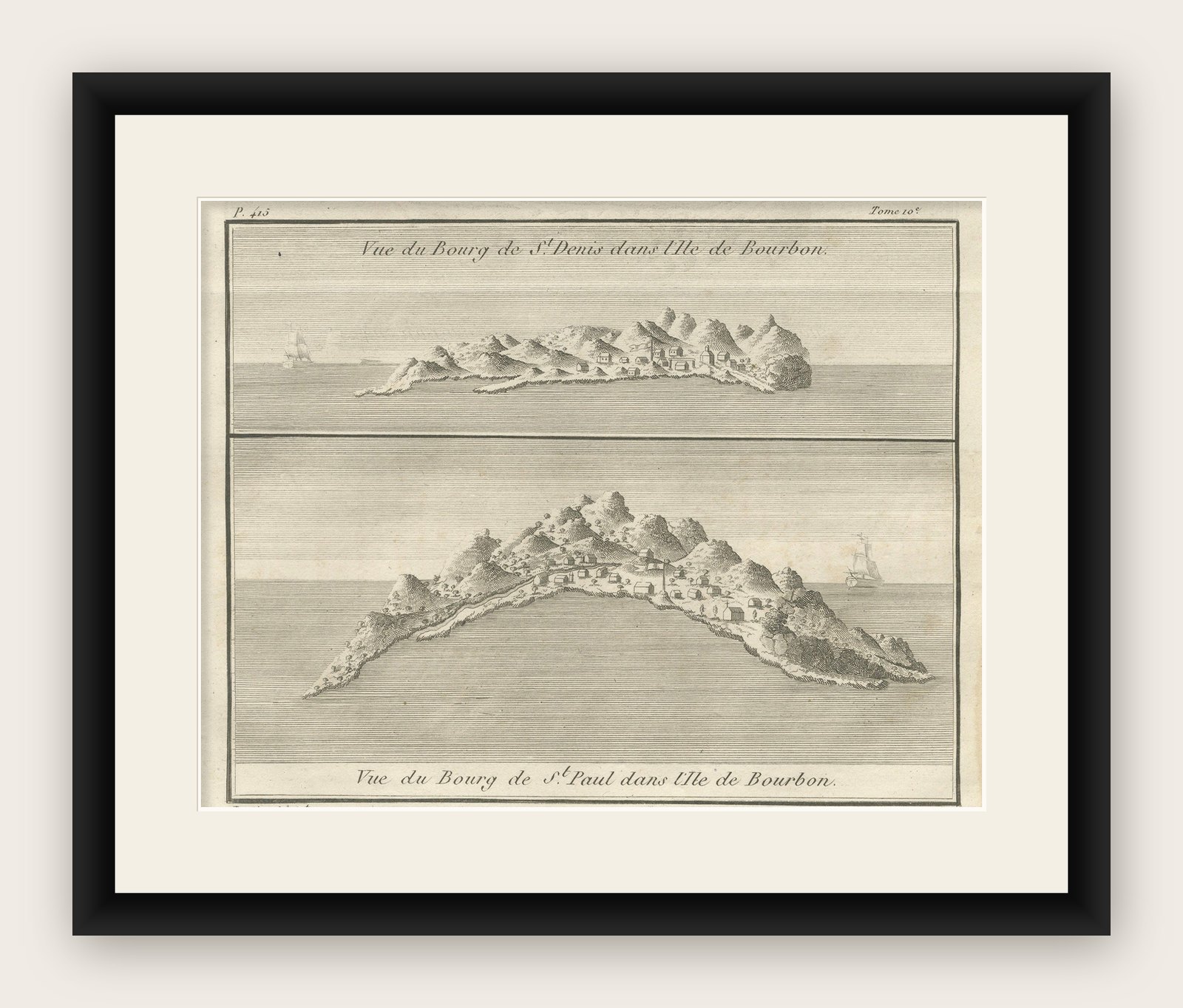
Views of St. Denis and St. Paul, Île de Bourbon – Antique French Engraving by Portier, c.1790
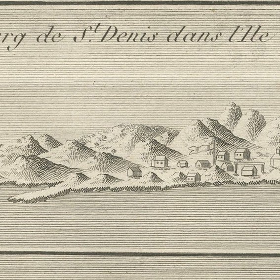
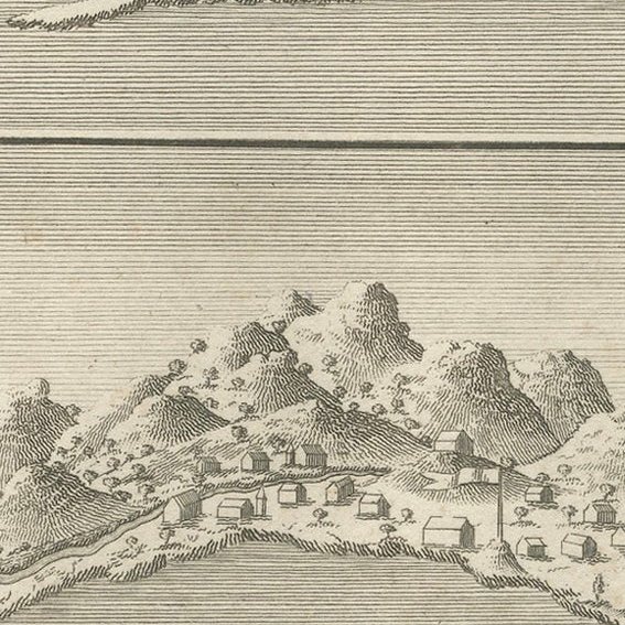
This antique French engraving by Portier, produced around 1790, presents two coastal views of settlements on Île de Bourbon, the 18th-century name for present-day Réunion in the Indian Ocean. The upper panel depicts the “Vue du Bourg de St. Denis,” while the lower shows the “Vue du Bourg de St. Paul,” each captured from an offshore perspective.
In the view of St. Denis, the settlement is nestled along a rugged coastline backed by steep, jagged mountains. A few ships sail offshore, indicating the island’s role as a stopover for maritime trade between Europe, Africa, and Asia. The St. Paul view features a broader sweep of the coastline, with more visible buildings lining the shore and a ship anchored in the calm waters beyond.
Île de Bourbon was a strategic French colony in the 18th century, prized for its sugar and coffee production as well as its position along East Indies trade routes. Portier’s engravings combine artistic charm with topographical accuracy, offering valuable insight into the early colonial landscape of Réunion. The fine hachuring and horizontal line shading effectively convey the island’s dramatic volcanic terrain and the surrounding sea.
Such coastal profile engravings were often included in illustrated travel accounts, missionary reports, and geographical works of the period, serving as visual references for navigators and scholars alike.
Condition report: Very good condition with a strong plate mark and crisp impression. Light toning along the fold and faint marginal foxing. Paper is stable and well-preserved.
Framing tips: This engraving would look striking in a horizontal frame to preserve the original layout, with a cream archival mat to complement the warm paper tone. A dark wood or black frame would enhance the fine linework.