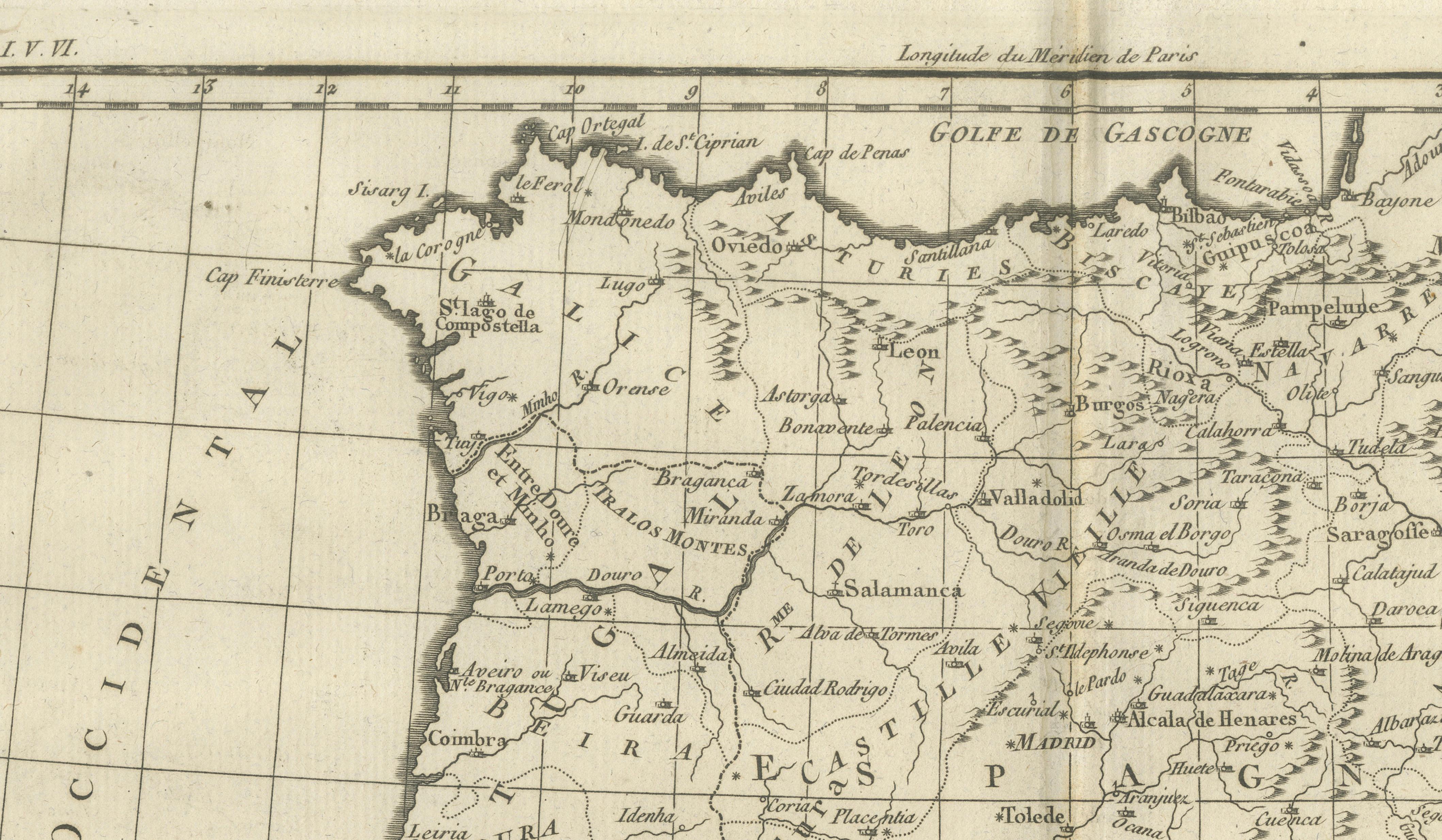
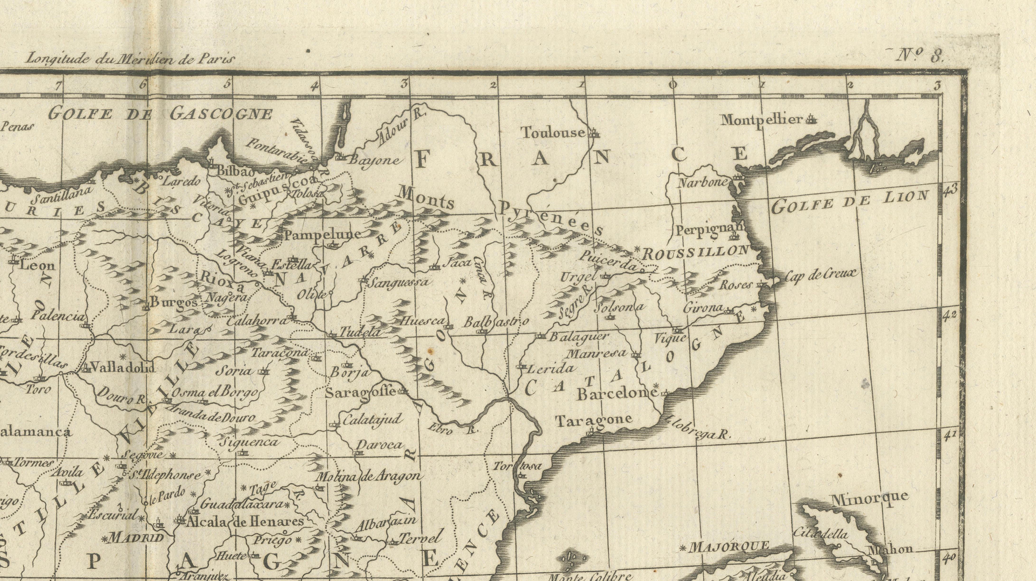
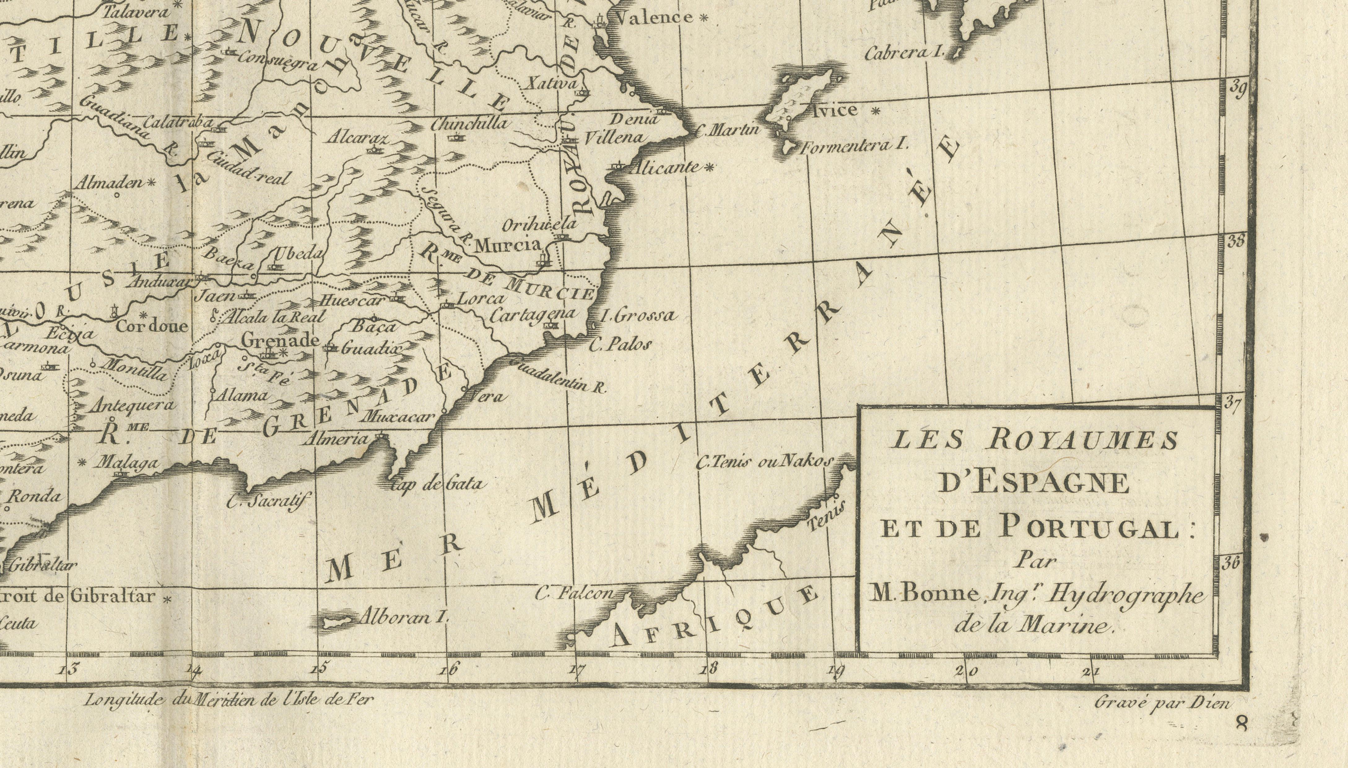
Spain & Portugal Map – Iberian Peninsula by Bonne c.1780
€ 280
One of a kind: this is the sheet in the photographs. Ships from Langweer, the Netherlands.
Date
1780
Sheet size
26 × 41 cm (10.2 × 16.1 in)
Condition
Good
Reference
BG-14105-8
Condition
Even toning. Central fold as issued. Light edge wear and small spots.
About this sheet
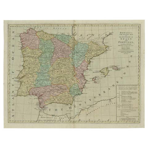
Spain & Portugal Map – Iberian Peninsula by Bonne c.1780
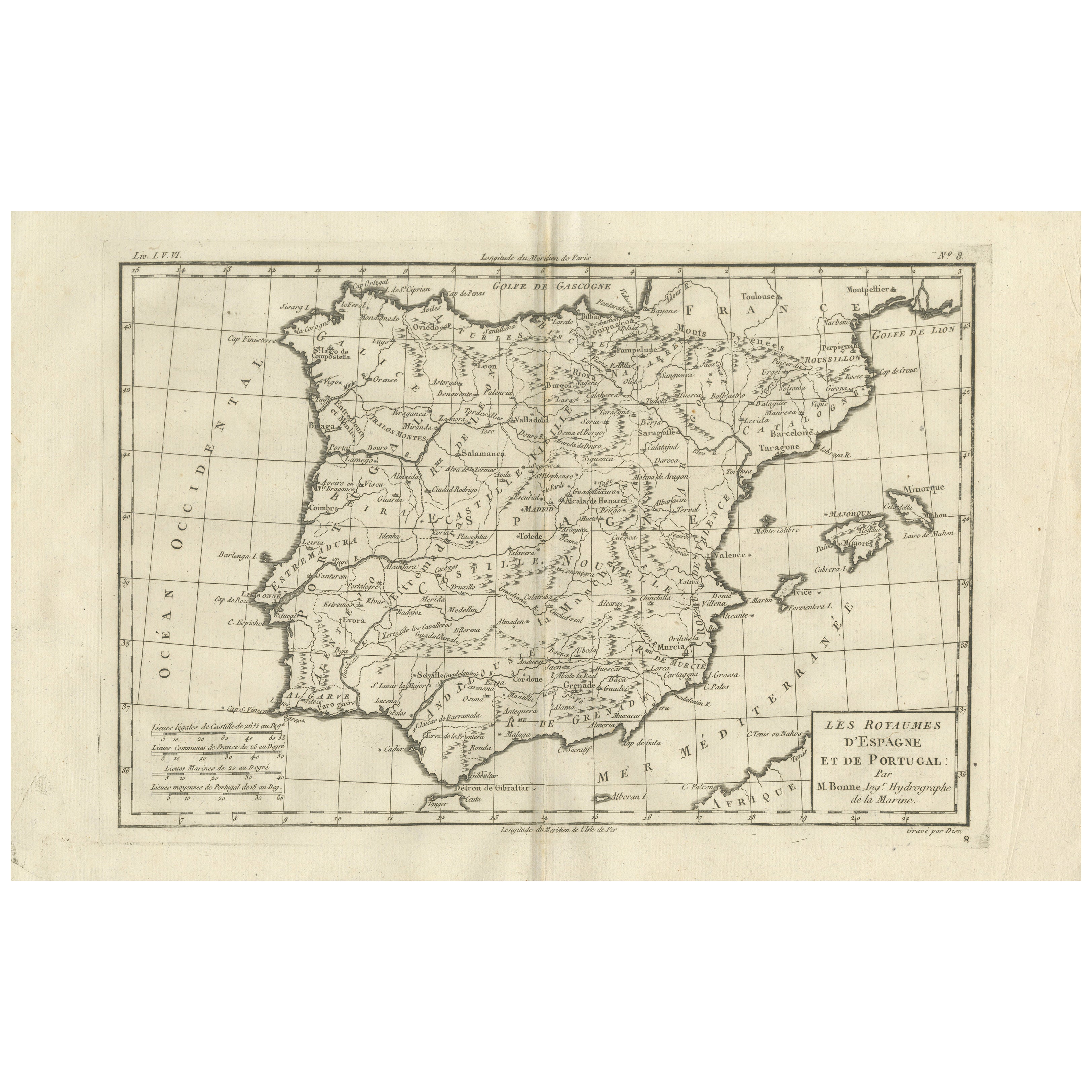
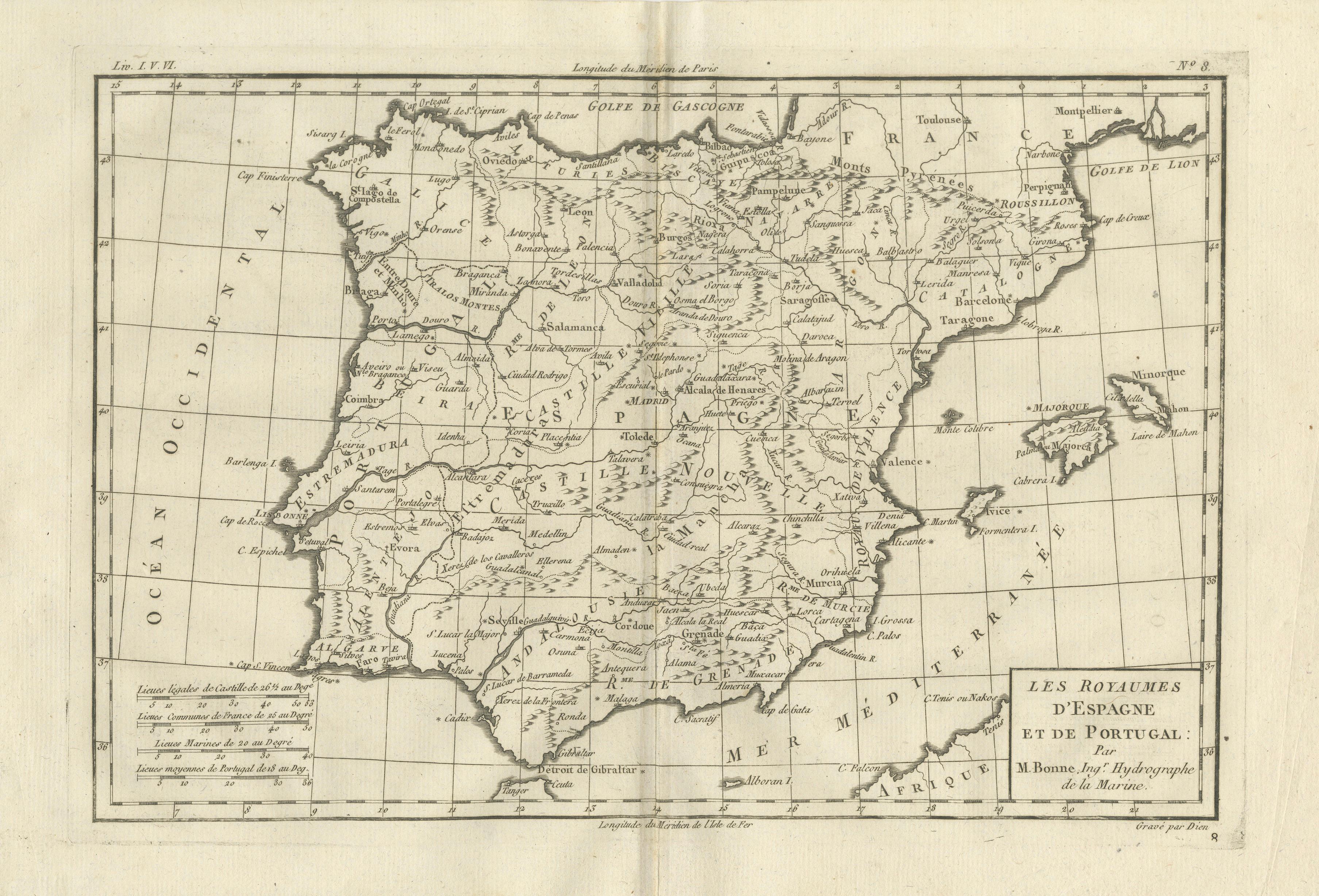
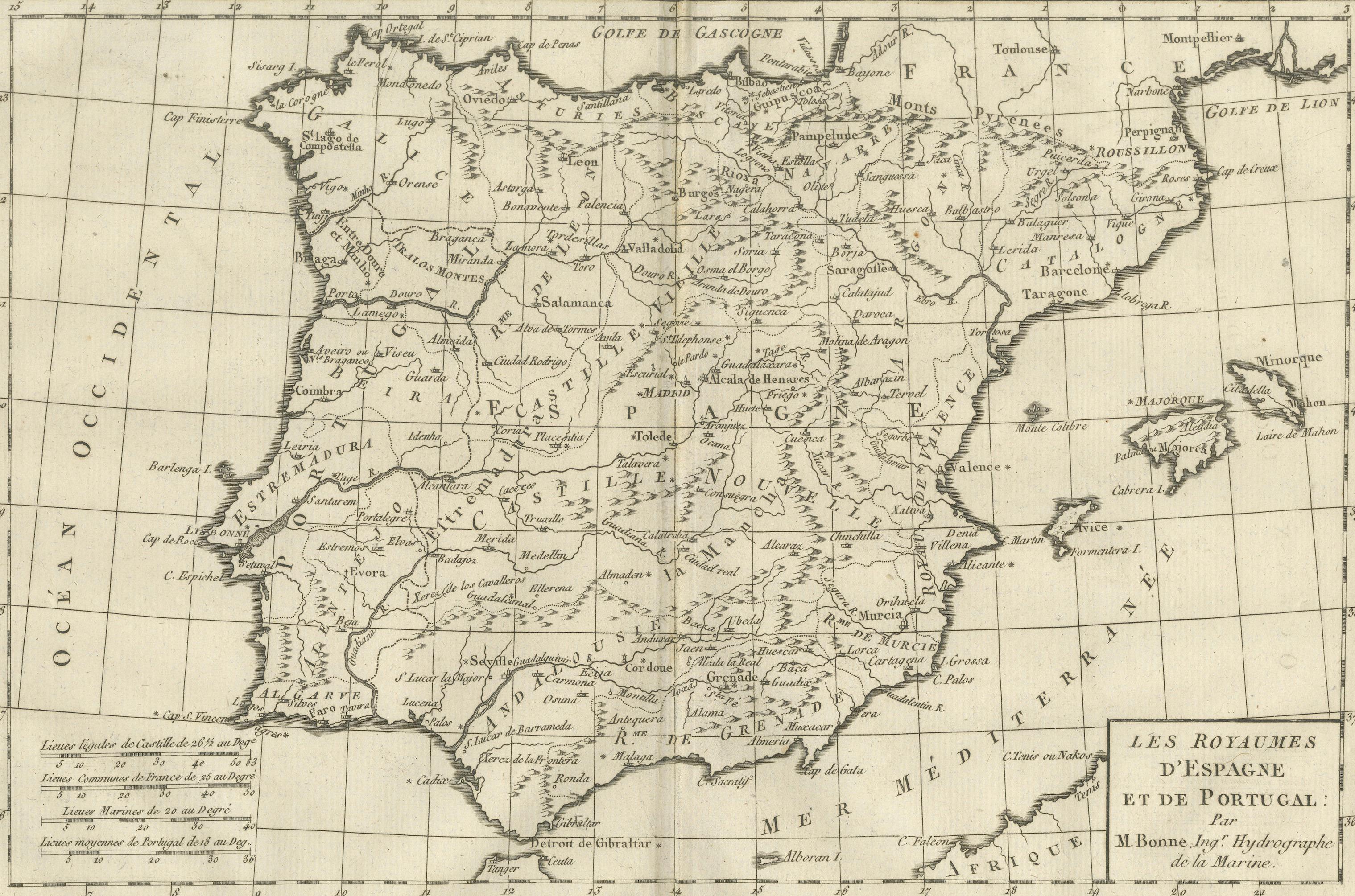
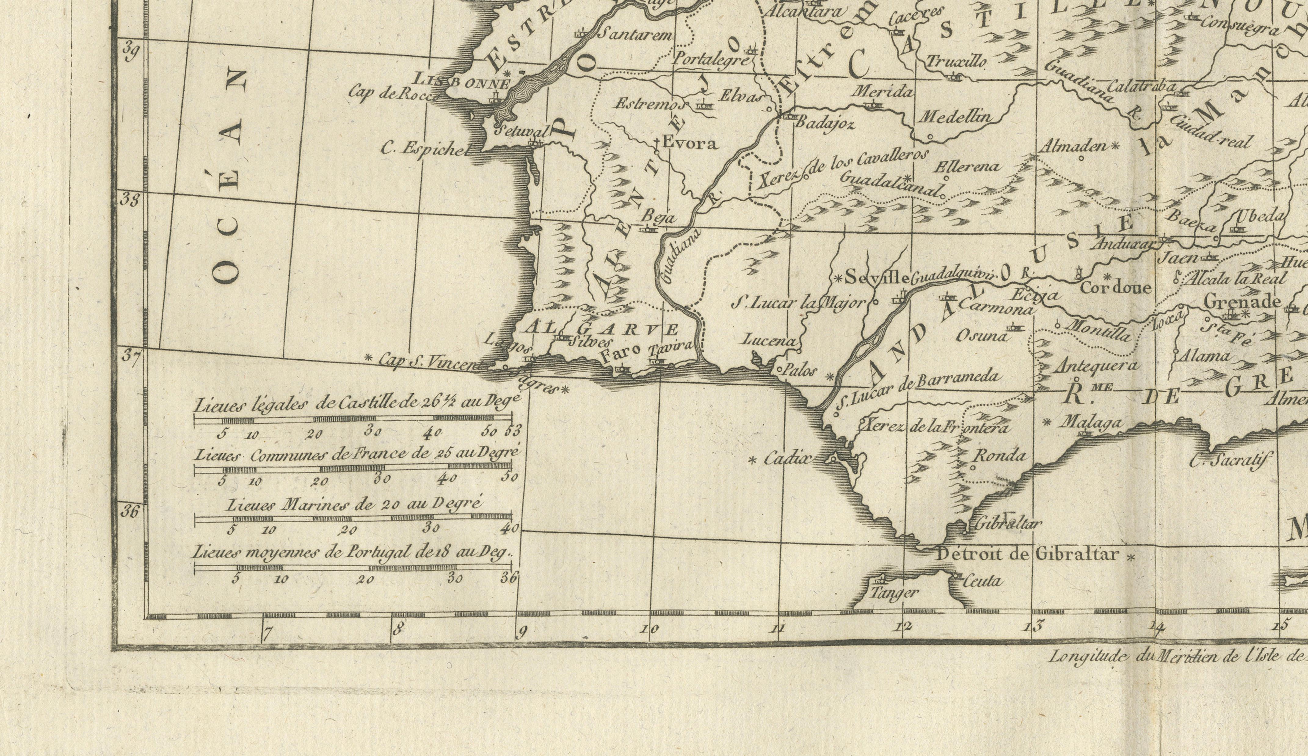
DESCRIPTION This engraved map of Spain and Portugal presents the Iberian Peninsula with clear political and geographic organization. Produced by Rigobert Bonne, it shows cities, river systems, mountain ranges, and coastlines central to Atlantic exploration and colonial administration. The map reflects Iberia’s continued strategic importance in global trade. Its sober style and balanced layout make it well suited for both historical study and interior display.
KEYWORDS Spain Portugal map, Iberian Peninsula, Lisbon Madrid Seville, Atlantic exploration routes, colonial trade hubs
CONDITION REPORT Even toning. Central fold. Light edge wear and small spots.
FRAMING TIPS Warm mat with simple gilt or walnut frame complements the elongated peninsula.
Technique: Engraving Maker: Rigobert Bonne, France, circa 1780