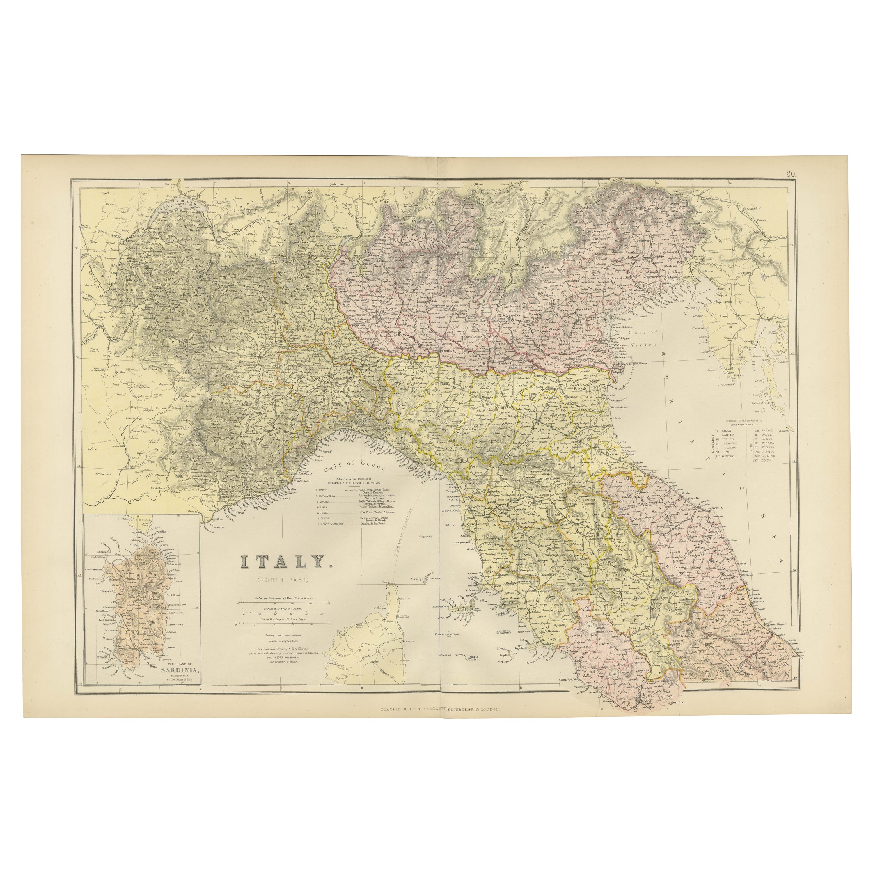
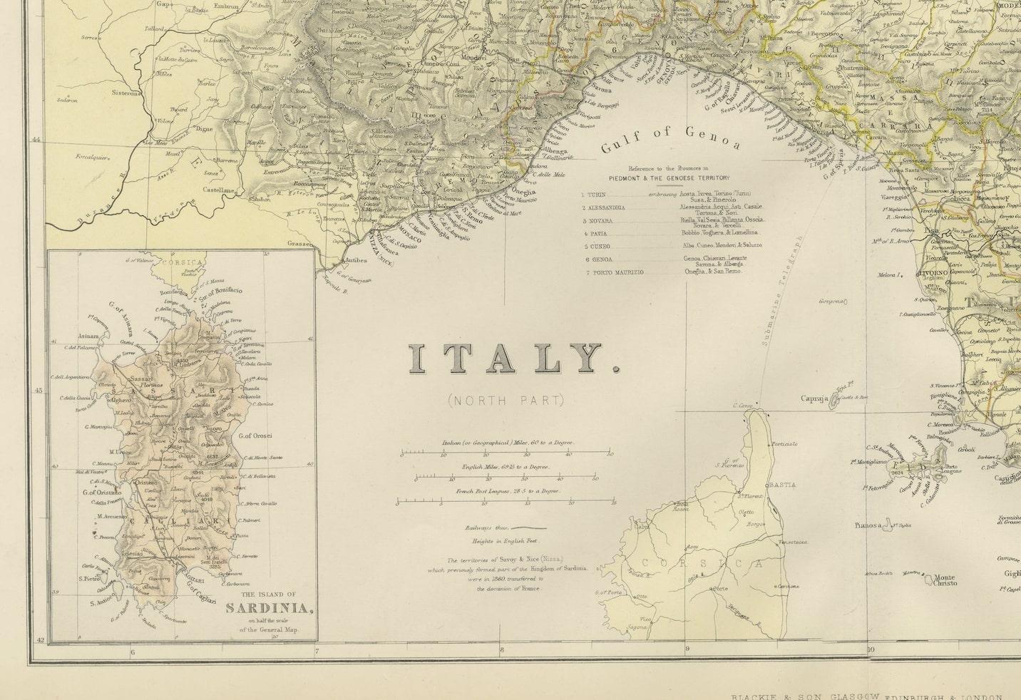
Original Antique Map of Italy with an Inset of Sardinia, 1882
€ 210
One of a kind: this is the sheet in the photographs. Ships from Langweer, the Netherlands.
Date
1882
Sheet size
38 × 57 cm (15.0 × 22.4 in)
Condition
Good
Reference
BG-13601-2-31
Condition
Good condition, folding line in the middle. The outer borders are slightly yellowish discolored due to age, but not the image. This map is ideal for framing. Study the image carefully.
About this sheet
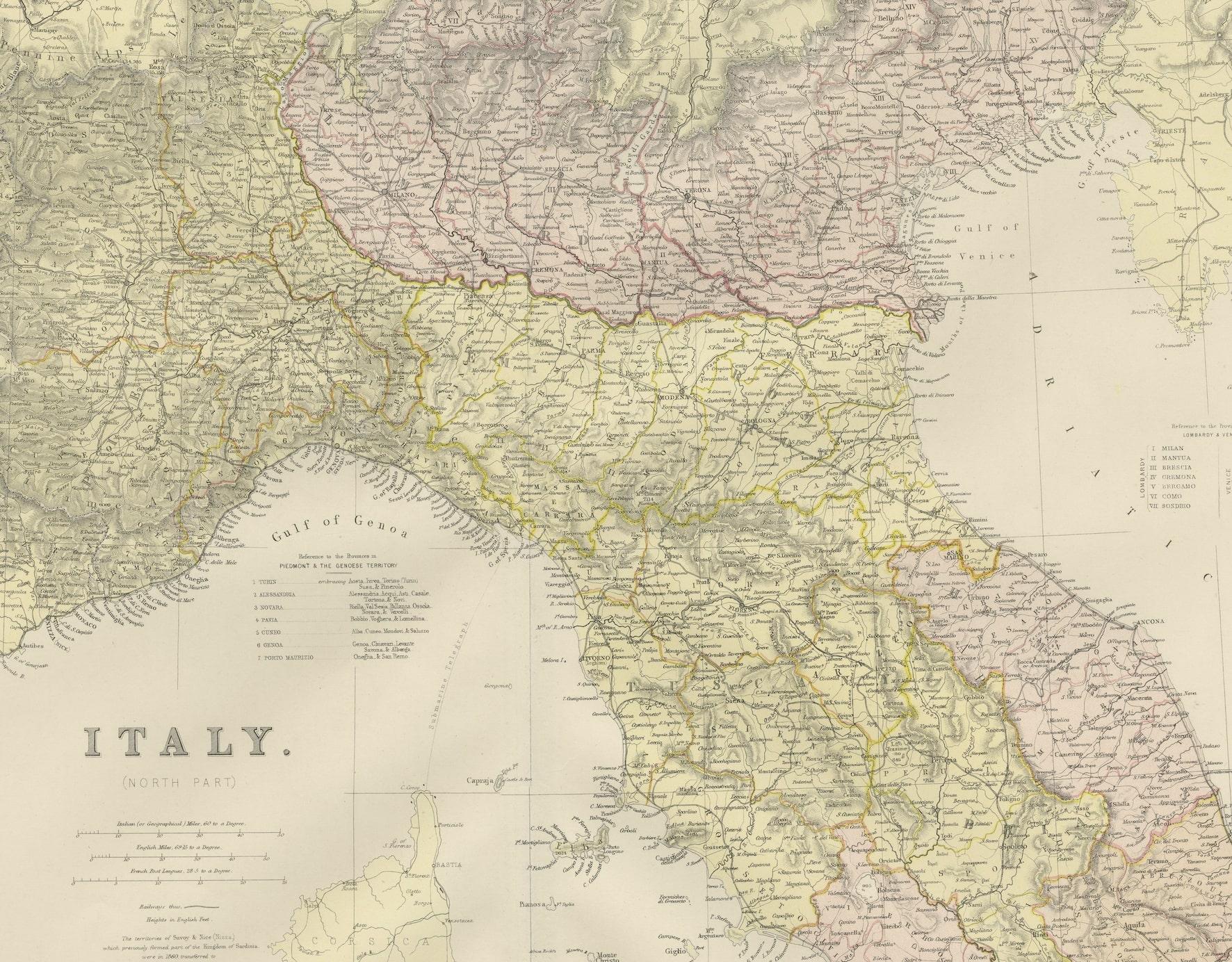
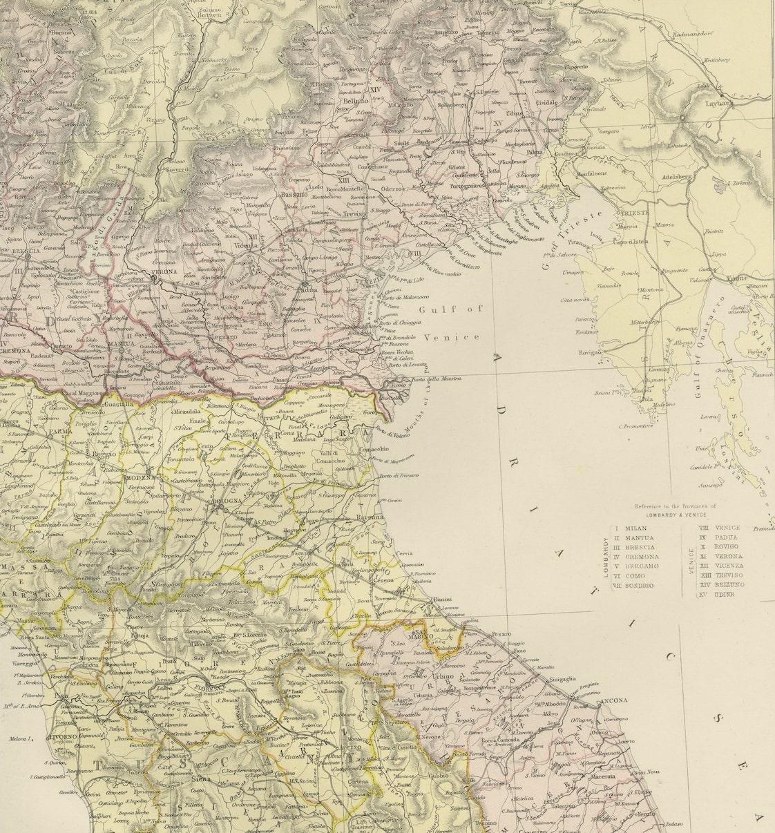
Embark on a historical odyssey with an original Antique Map of Italy from the esteemed 'Comprehensive Atlas and Geography of the World,' meticulously crafted in 1882. This captivating map intricately details the beauty of Italy's regions, capturing its cities, rivers, coastlines, and diverse landscapes with exquisite precision.
More than a map, it's a doorway to Italy's rich history and cultural heritage. Adorned with vibrant colors and intricate engravings, this piece animates the 19th-century world on your wall, inviting exploration into Italy's storied past and regional diversity.
Perfect for history aficionados, collectors, or admirers of antique artistry, this map is a conversation starter that exudes sophistication in any space. It stands as a testament to cartographic brilliance, encapsulating an era of exploration and scholarly dedication in its depiction of Italy's splendor.
Beyond its cartographic allure, it's a voyage through time awaiting a place on your home or office walls. Bring home this antique map today and let its historical charm grace your space, allowing you to traverse the captivating landscapes and cultural mosaic of beautiful Italy.