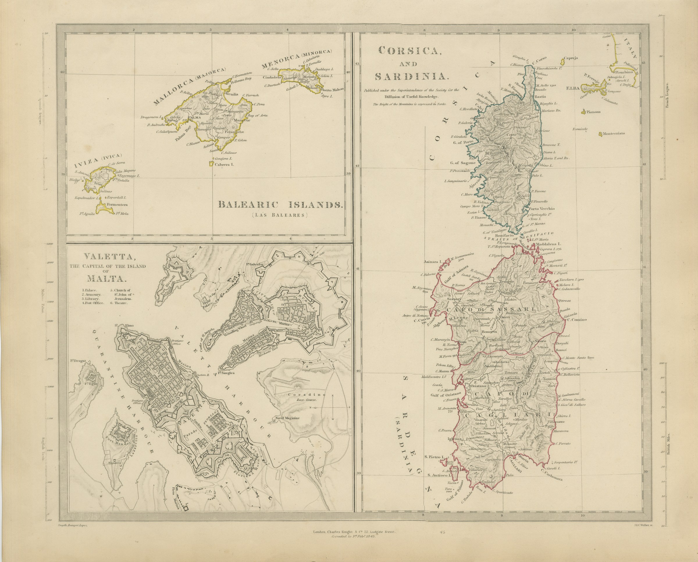
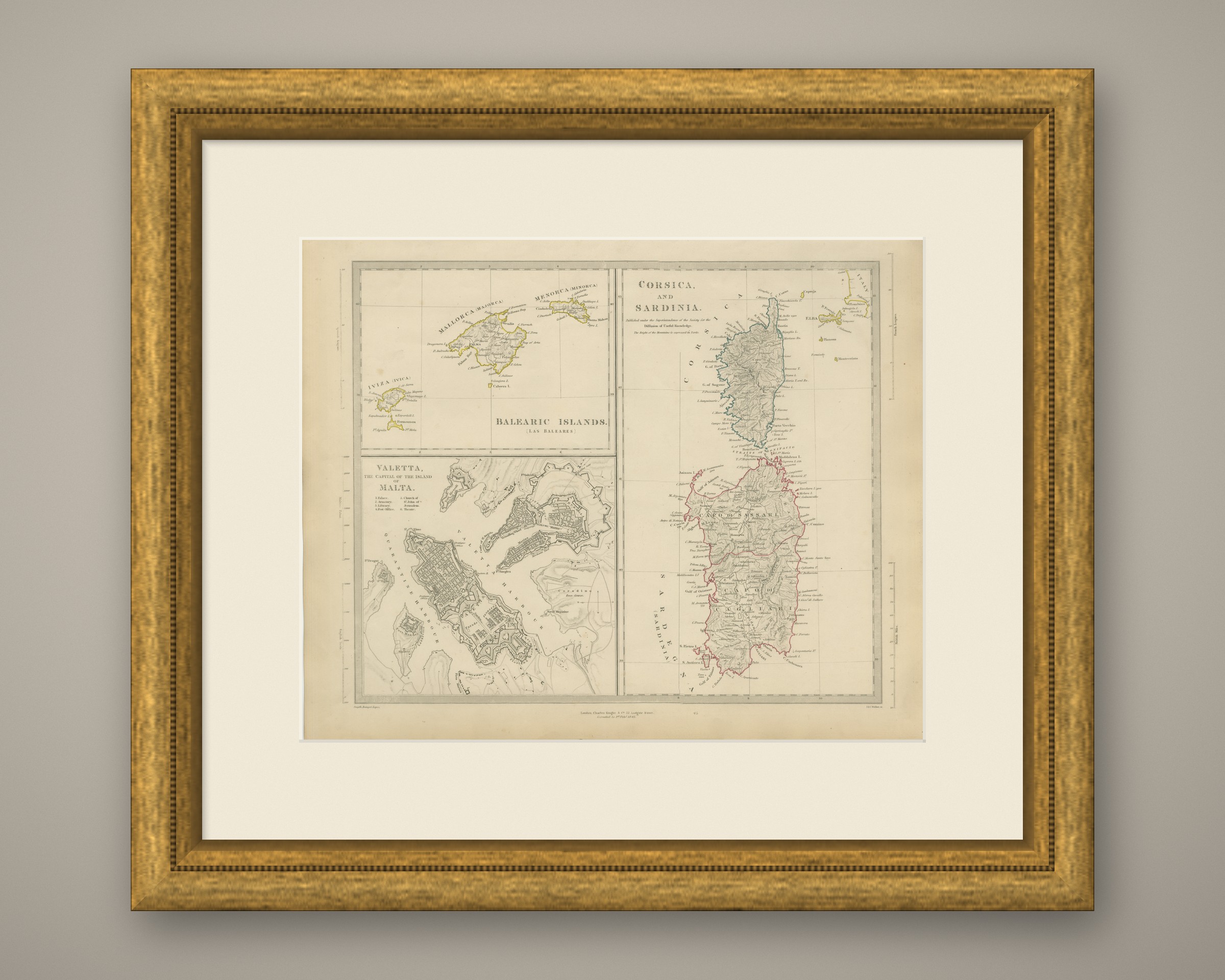
Corsica and Sardinia, Antique Map with Plan of Valetta in Malta, 1845
€ 590
Original antique · The actual sheet photographed · Certificate of authenticity on request · Sold unframed · Worldwide shipping from € 15 (rates)
Date
1845
Mapmaker / artist
Society for the Diffusion of Useful Knowledge, London; engraved by John and Charles Walker
Publisher
Charles Knight and Company, 22 Ludgate Street, London
Technique
Steel Engraving
Coloring
Original hand color
Sheet size
35 × 43.5 cm (13.8 × 17.1 in)
Condition
Good
Reference
BG-14487-2-38
What the condition grades mean
Excellent
Bright and clean, with no faults worth mentioning.
Very good
Only light signs of age, such as faint toning.
Good
Normal signs of age for a sheet of this period: toning, some foxing, small marks or neat old repairs.
Fair
Clear faults such as staining, tears or repairs, priced to match.
Every fault we see is written in the condition note, and the whole sheet is shown uncropped in the photos.
Condition
Strong age toning, the paper a warm buff, with the paper darker along the bottom and left edges and a few foxing spots in the margins. The printed image itself is clean.
About this sheet
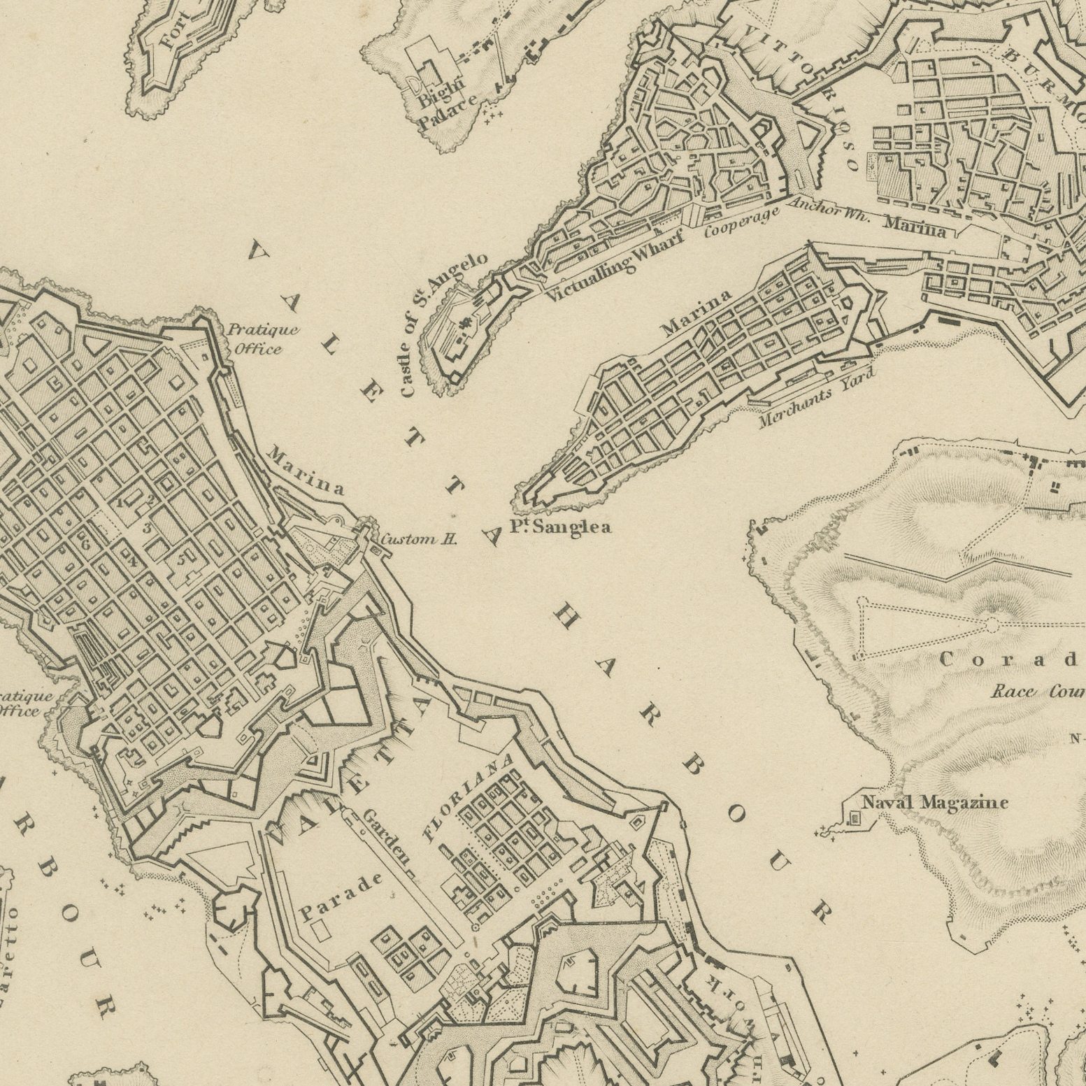
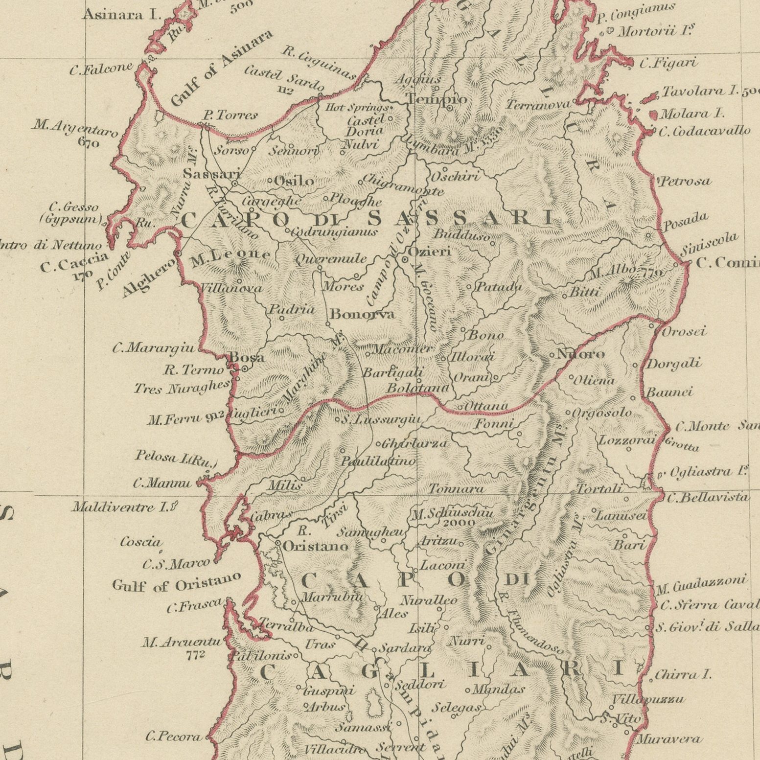
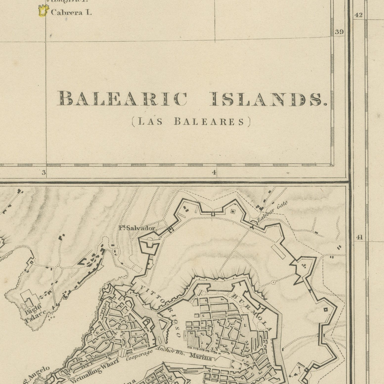
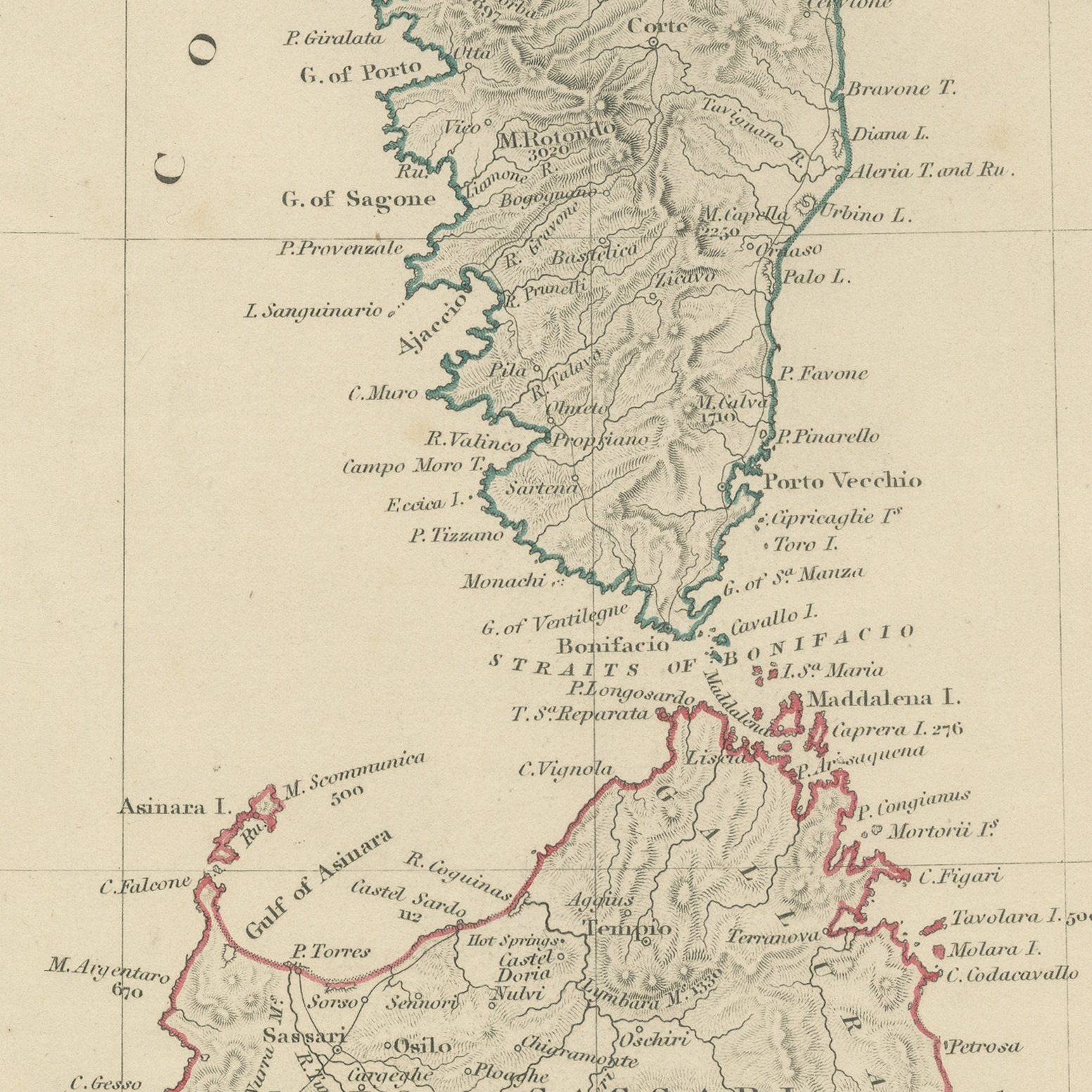
This antique map of 1845 carries three subjects on one sheet. The right hand two thirds give Corsica and Sardinia in full, each drawn in close detail with its mountains in heavy hachure and heights in yards, Corsica with Bastia, Ajaccio, Calvi and Bonifacio and Sardinia divided between the Capo di Sassari and the Capo di Cagliari, with Elba and Monte Cristo off the Italian coast beyond. The upper left corner holds an inset of the Balearic Islands, giving Mallorca, Menorca, Iviza, Formentera and Cabrera with their towns and harbors. The lower left corner holds a large engraved plan of Valetta, the capital of Malta, showing the Quarantine Harbor and the Great Harbor, the bastions of Floriana, Sanglea and Vittoriosa, the street grid of the city, and a numbered key to the Palace, the Armory, the Library, the Post Office, the Church of Saint John and the Theatre. The imprint records correction to the first of April 1845.
The plate comes from Maps of the Society for the Diffusion of Useful Knowledge, in the new edition corrected to the present time that Charles Knight and Company published at 22 Ludgate Street, London, in 1845, whose first volume covers Europe. The Society was founded in 1826 by Henry Brougham and his circle to publish useful knowledge at a low price. Its maps were issued in parts from 1829, first by Baldwin and Cradock, from 1842 by Chapman and Hall and then by Charles Knight, and the series grew to about two hundred maps. Most of them were engraved on steel by John and Charles Walker, and the outline color was applied by hand.
The imprint at the foot names Charles Knight and Company of 22 Ludgate Street, London, with the note corrected to 1 April 1845.
Strong age toning, the paper a warm buff, with the paper darker along the bottom and left edges and a few foxing spots in the margins. The printed image itself is clean.
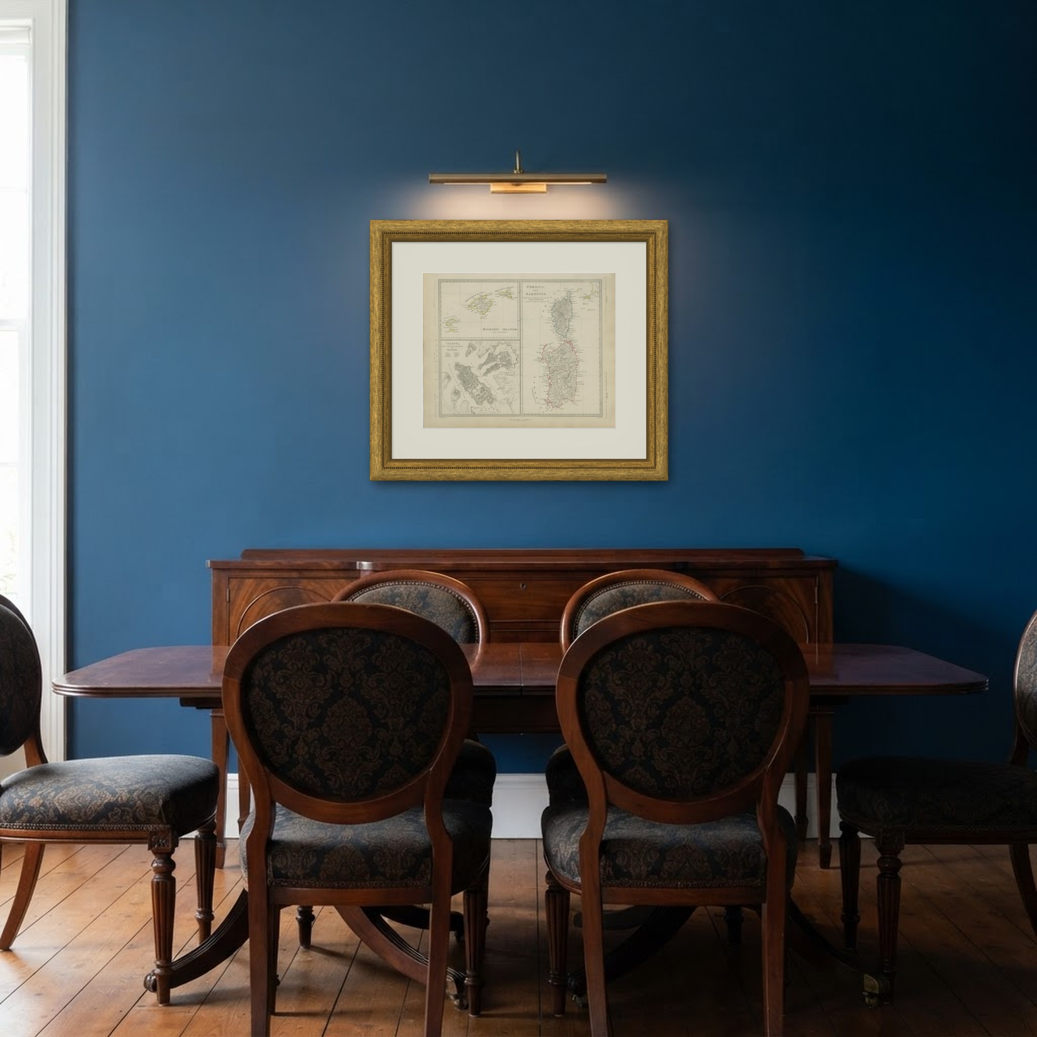
This is an original antique map, not a modern reproduction. This item is sold unframed. Any framed or interior images are shown for presentation and inspiration only, unless the listing explicitly states that the item is sold framed.