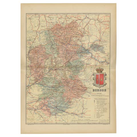
Ciudad Real 1902: A Detailed Cartographic Survey of La Mancha in Spain
€ 340
One of a kind: this is the sheet in the photographs. Ships from Langweer, the Netherlands.
Date
1902
Sheet size
37.5 × 51 cm (14.8 × 20.1 in)
Condition
Good
Reference
BG-13642-12
Condition
Good condition. Central vertical folding lines as issued. Aged paper with typically warm, yellowish-brown hue, especially around the edges. Check the images carefully.
About this sheet
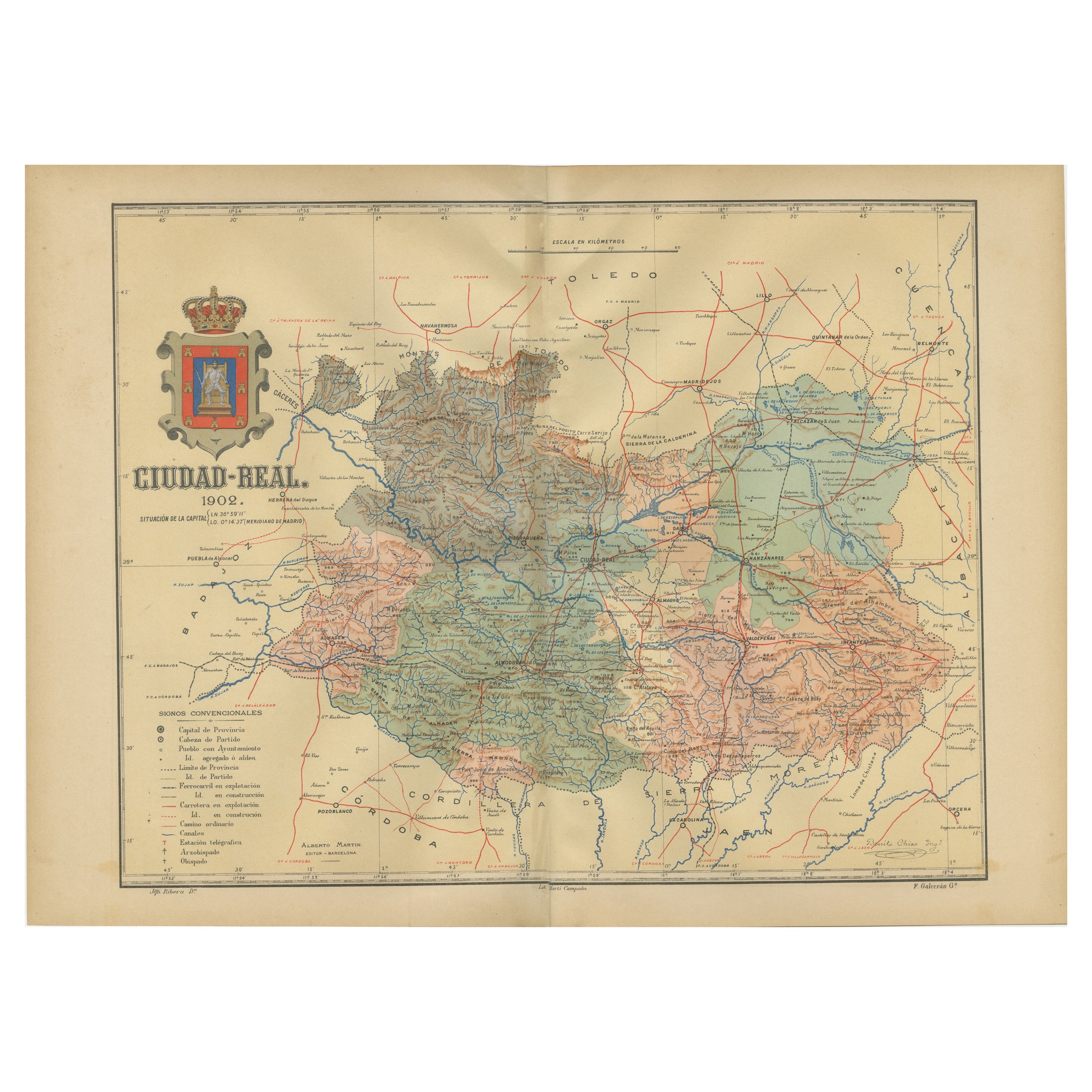
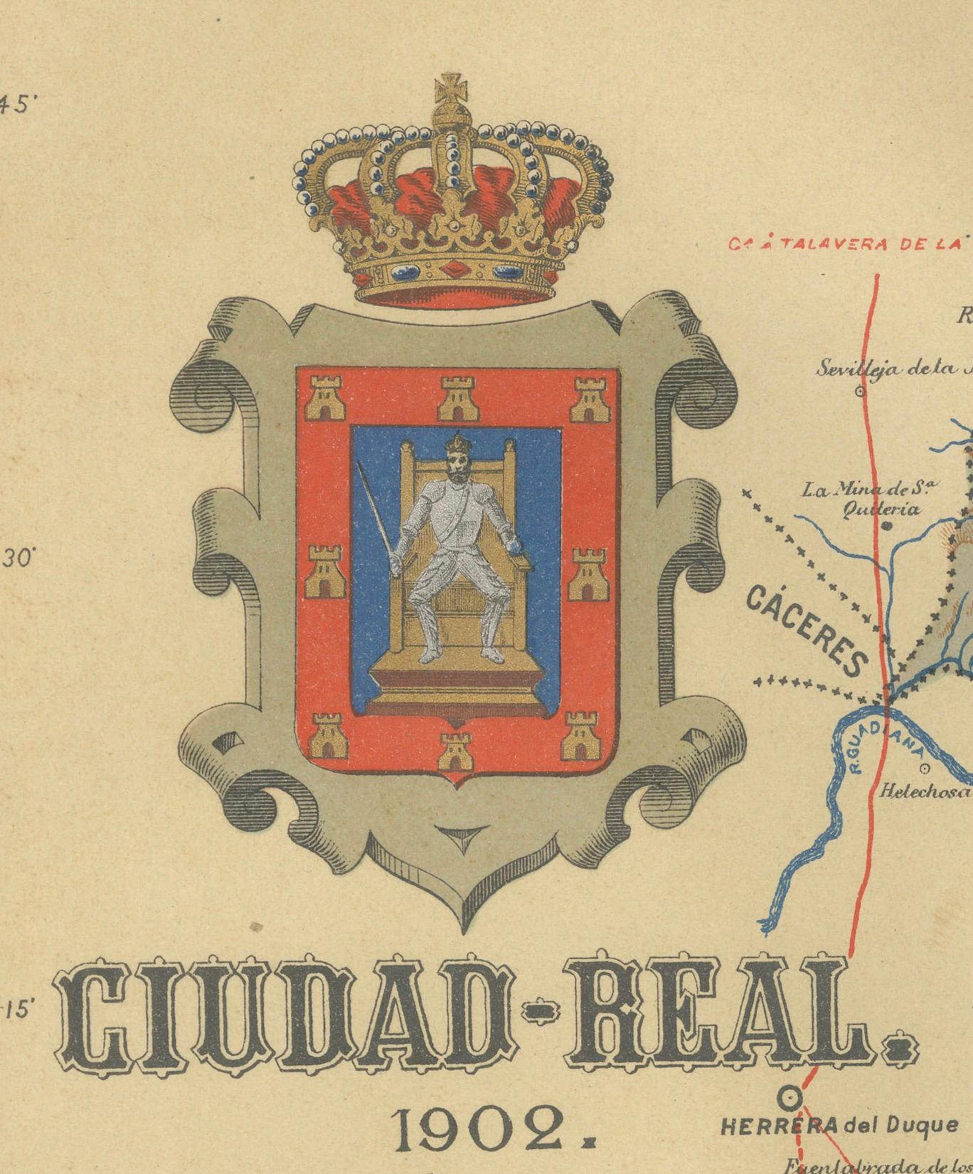
This original antitque map presents the province of Ciudad Real, located in the autonomous community of Castilla-La Mancha in central Spain, as of 1902. It includes several notable features:
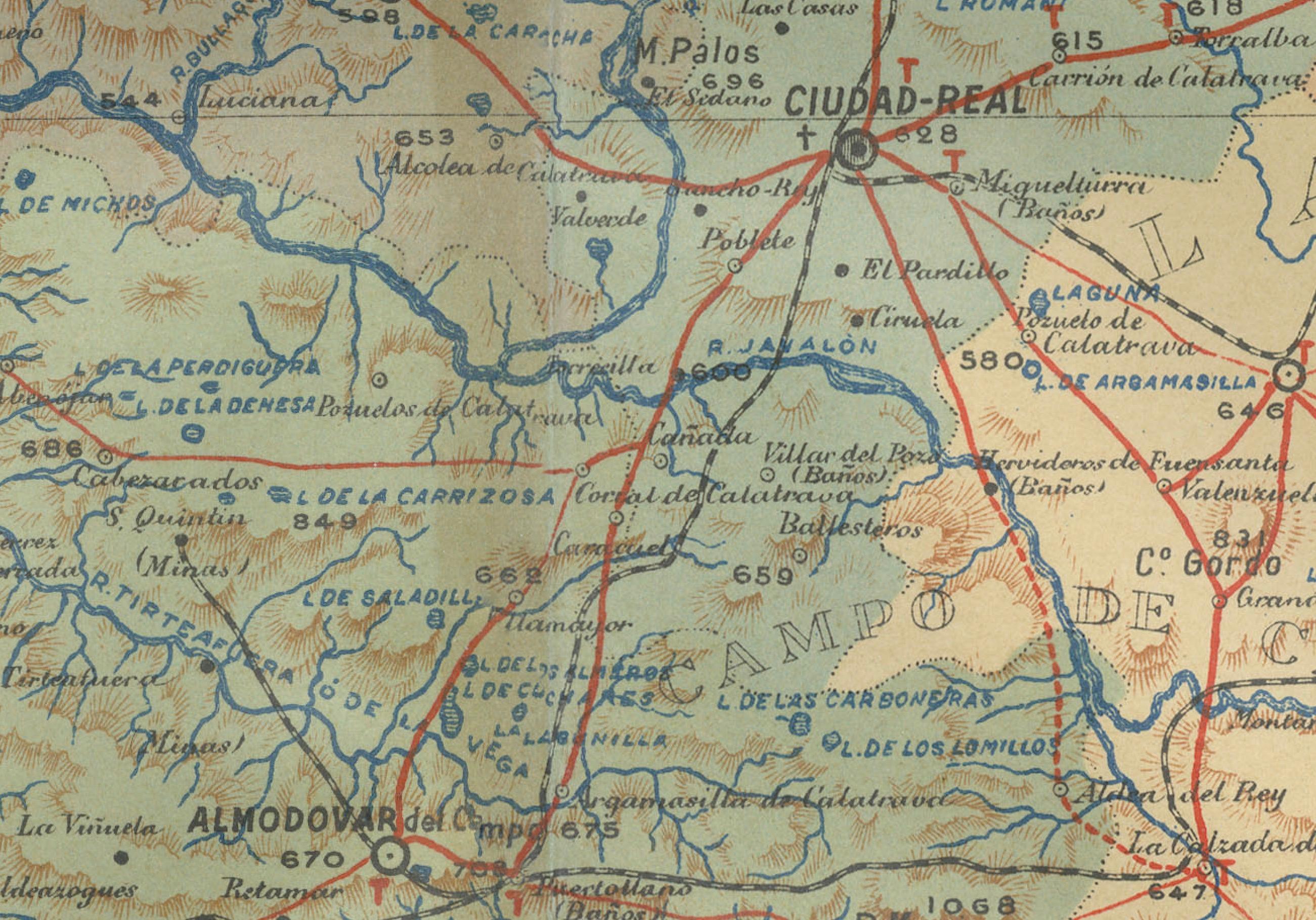
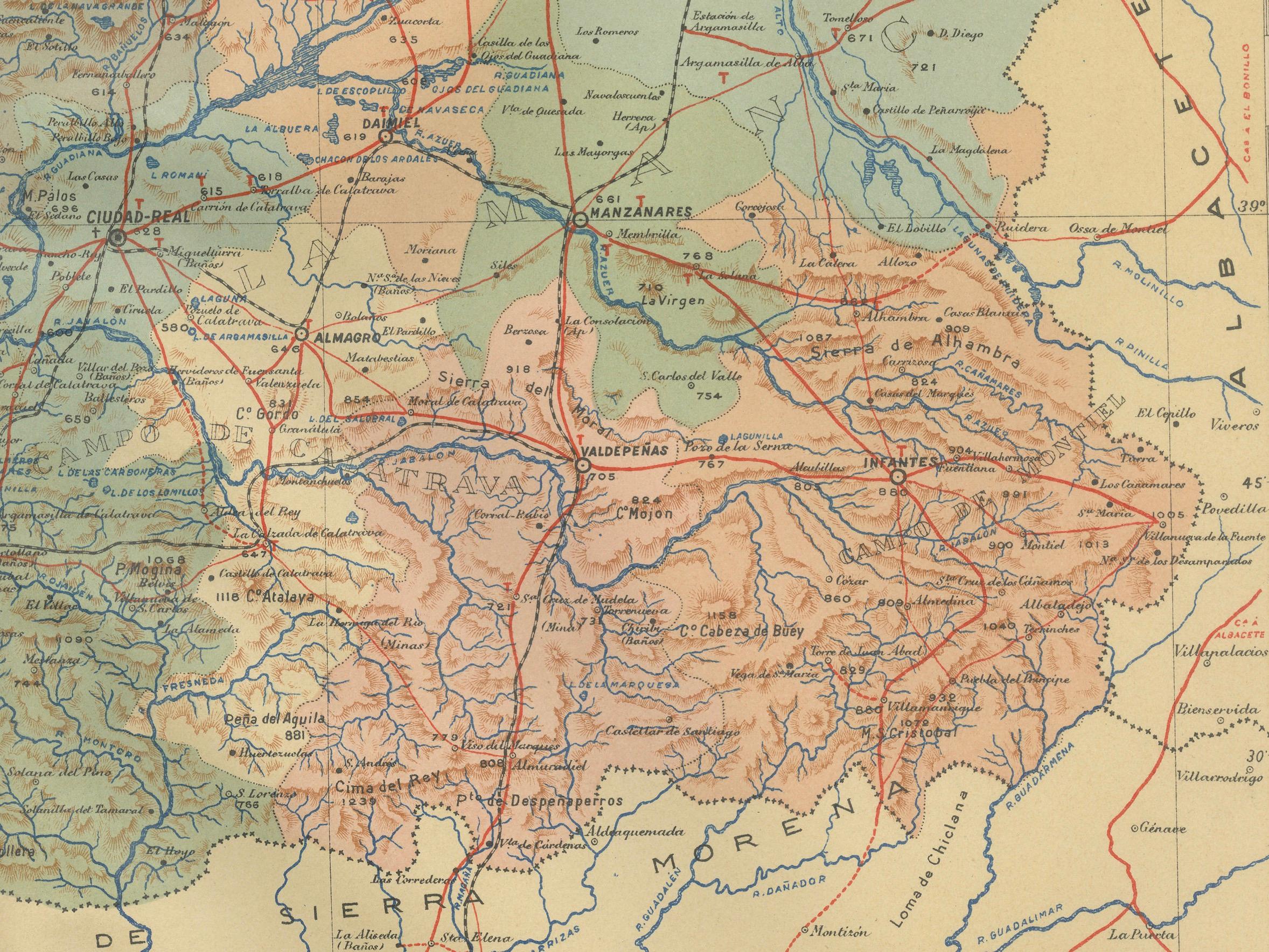
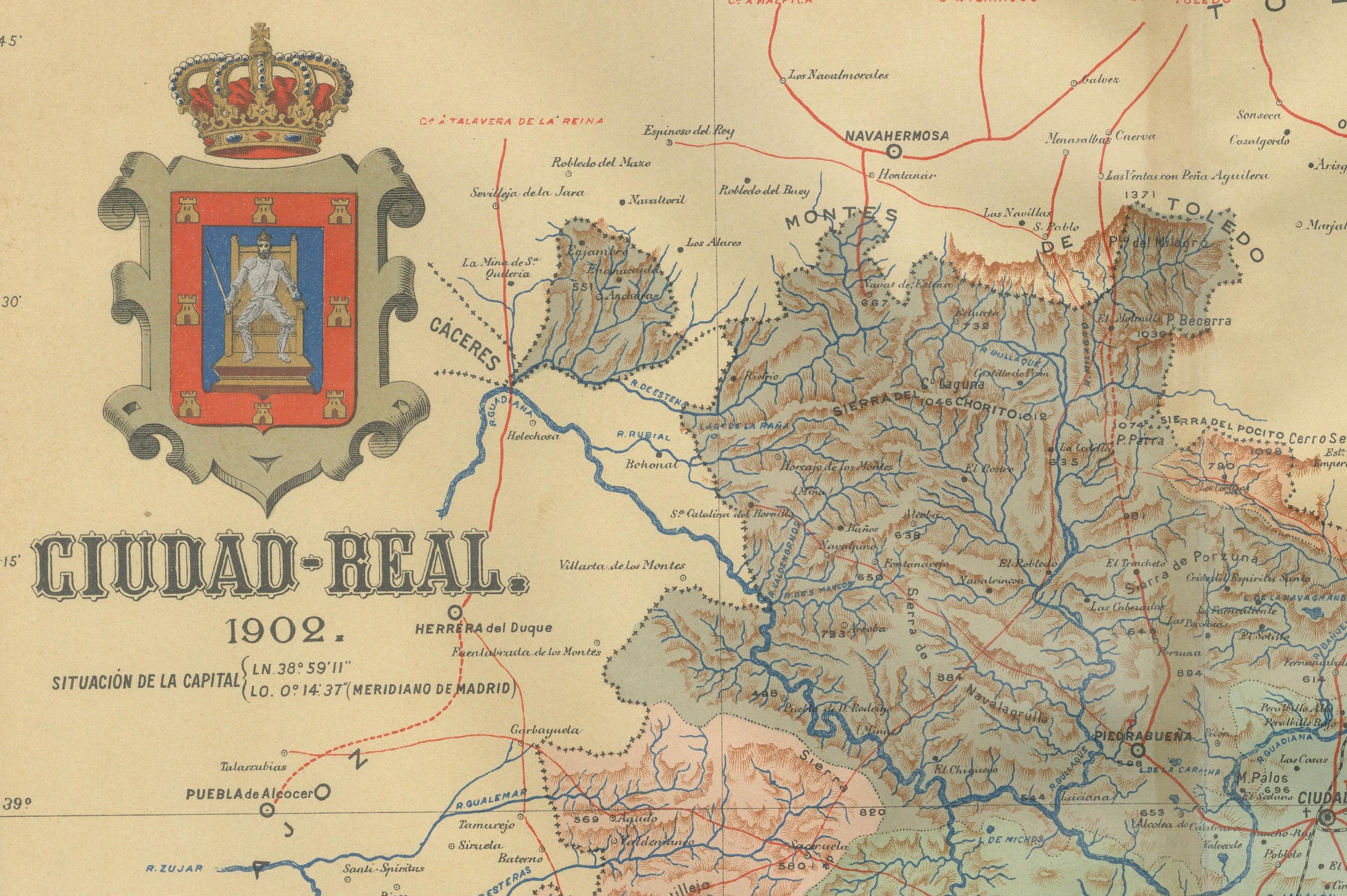
The terrain is depicted with contour lines indicating the varied landscape of the region, which includes both the plains of La Mancha and mountainous areas. Blue lines on the map likely represent rivers, such as the Guadiana, which runs through the province. Red lines show the roads and railways, indicating the infrastructure for travel and transport within the province and connections to other areas. Symbols mark the locations of cities, towns, and villages, with the provincial capital, also named Ciudad Real, presumably emphasized. Dotted lines suggest the administrative borders of Ciudad Real within Castilla-La Mancha. The map includes a legend (Signos Convencionales) that explains the symbols for provincial capitals, roads, railways, and boundaries. A scale in kilometers at the bottom allows for distance measurement.
The coat of arms of Ciudad Real is featured prominently, with a castle that represents the Castile region and a border with fleurs-de-lis, symbolizing the Bourbon dynasty in Spain. Highlighted with gold.
About the province of Ciudad Real:
Ciudad Real is part of the historical region of La Mancha, famous for its association with the novel "Don Quixote" by Miguel de Cervantes. The landscape of Ciudad Real is diverse, featuring both the flat, arid plains typical of La Mancha and more mountainous areas. The province has a rich history that includes Roman, Moorish, and medieval Christian influences, with many castles and historical sites. It is also known for its wine production and has several Denominations of Origin recognizing the quality of its products. The economy is traditionally based on agriculture, with a growing emphasis on tourism and renewable energy. Ciudad Real's natural attractions include the Tablas de Daimiel National Park, a wetland reserve, and the Cabañeros National Park, known for its Mediterranean forest and fauna.