About this sheet
Antique Roman Empire Map, Europe Mediterranean, Lapie Tardieu, 1838
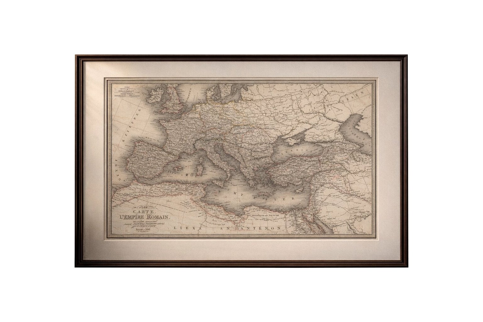

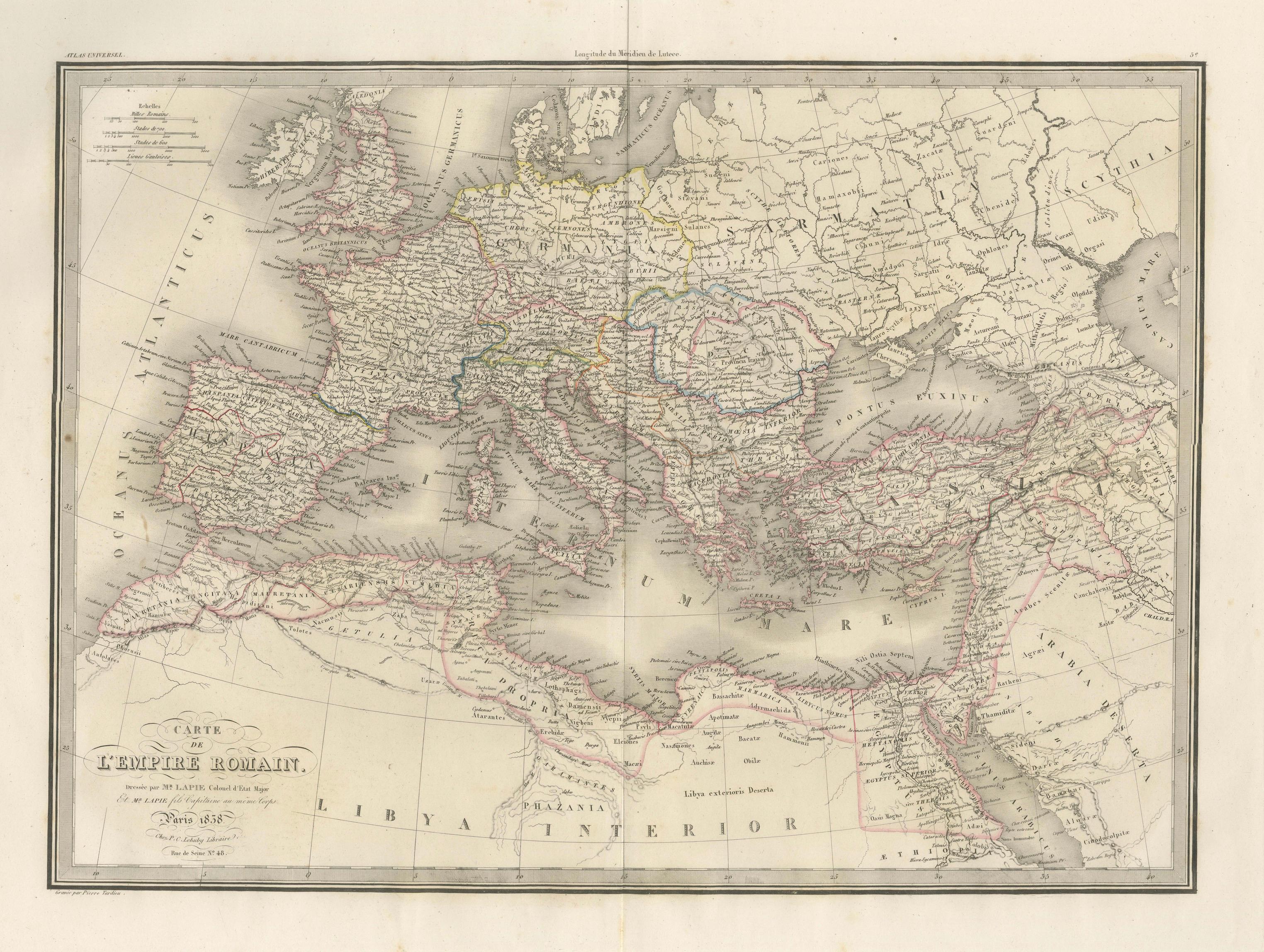
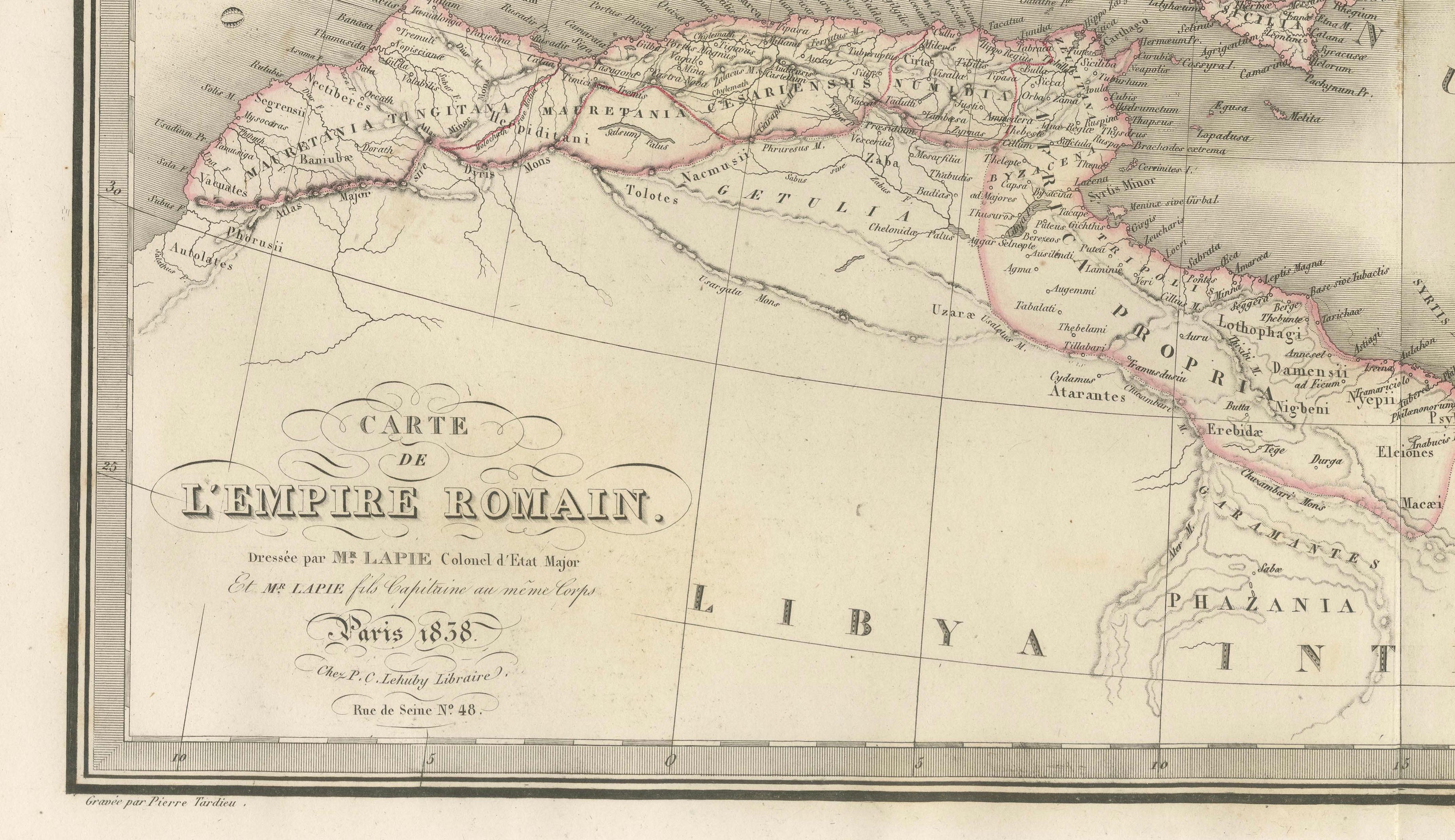
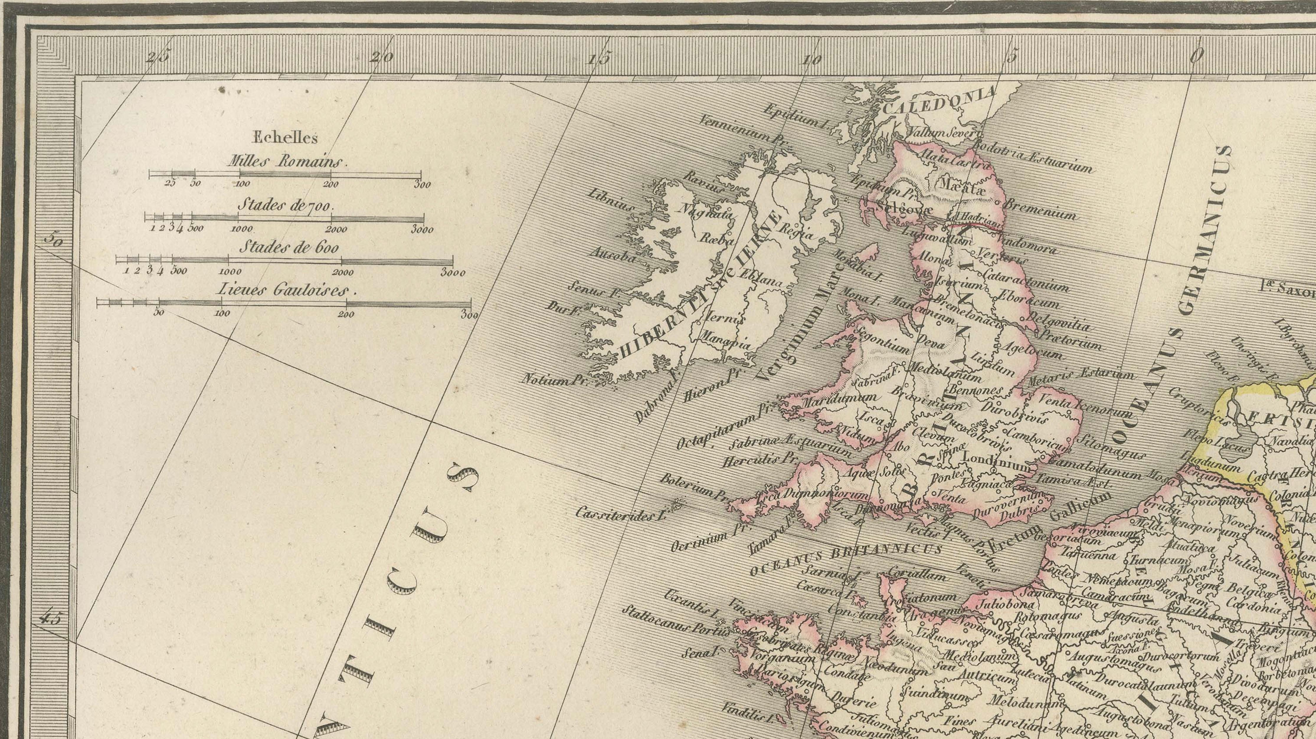
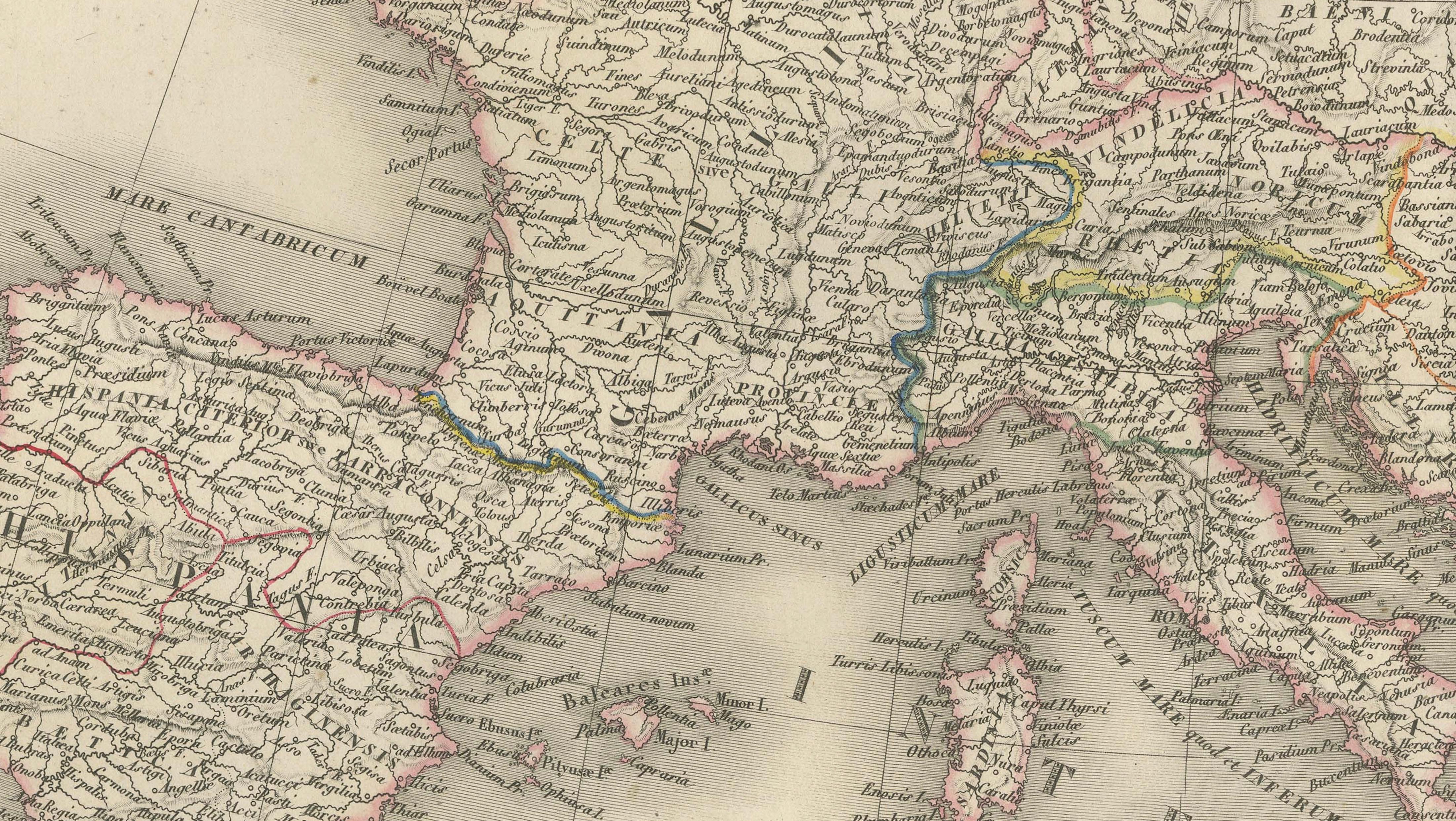
This finely engraved historical map titled *Carte de l’Empire Romain* was published in Paris in 1838 as part of the celebrated Atlas Universel de Géographie Ancienne et Moderne by the distinguished French cartographer M. Lapie. The atlas is known for its clarity, scholarly precision, and refined aesthetic, representing the high standard of French cartography in the early 19th century.
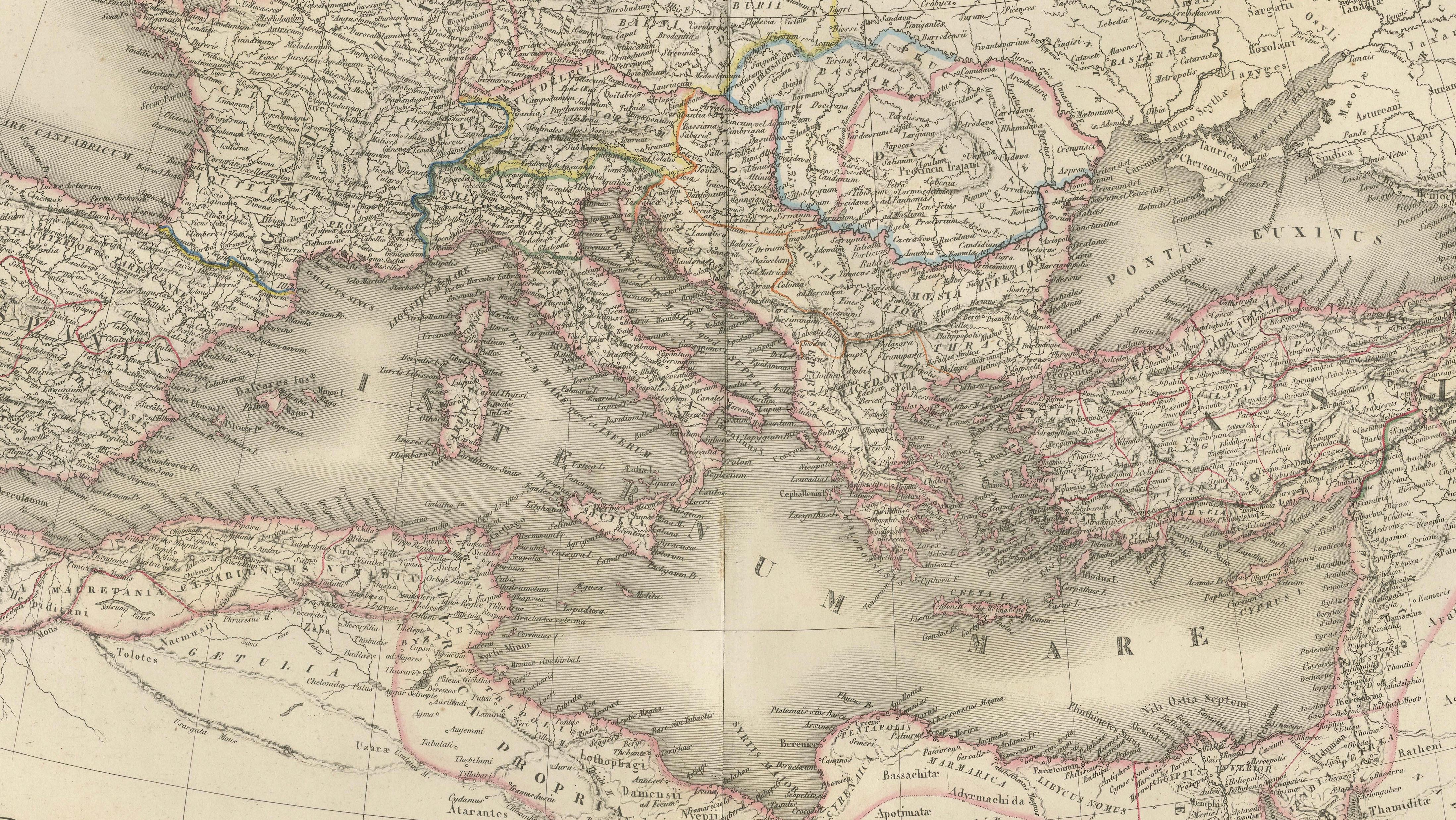
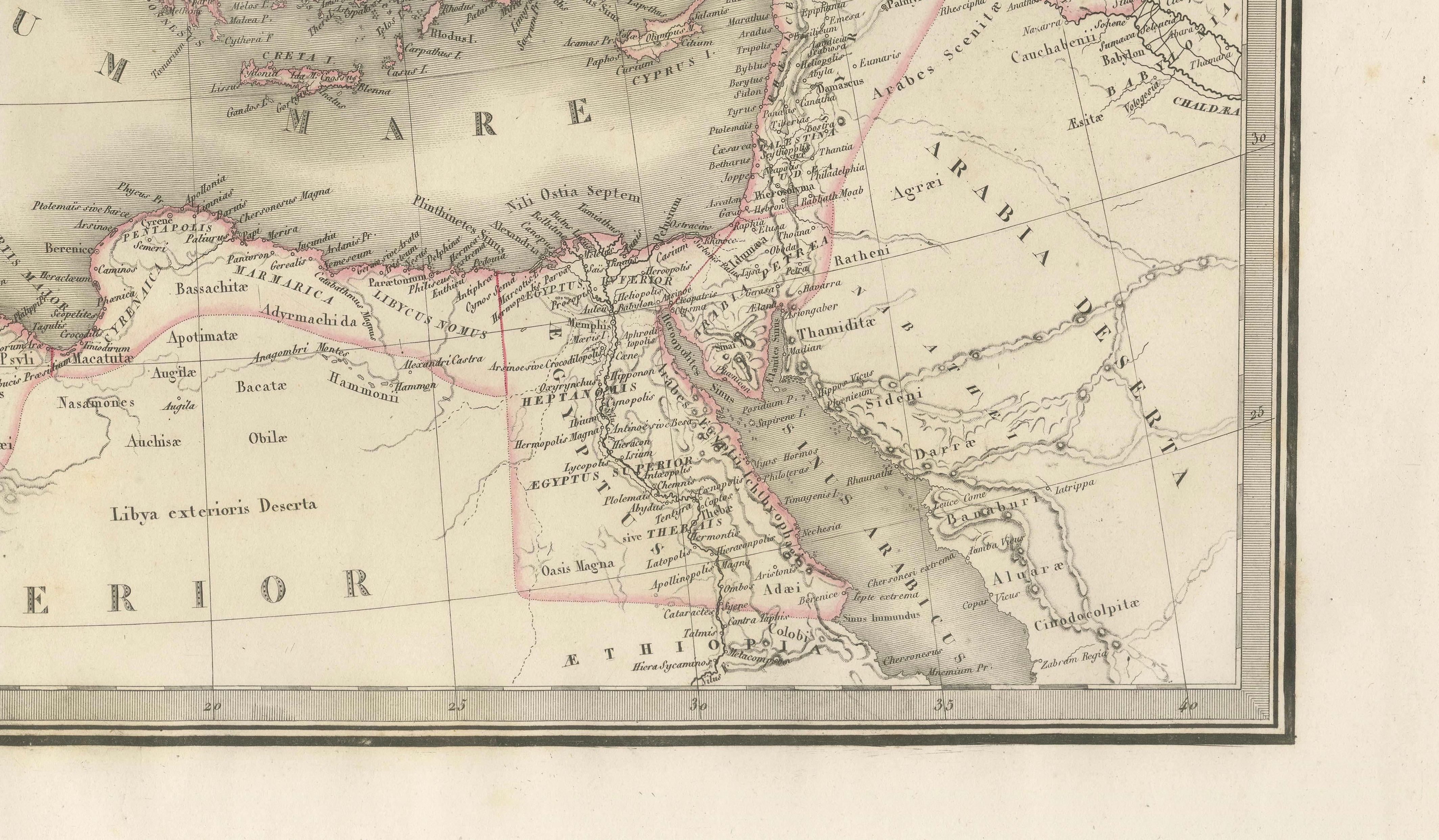
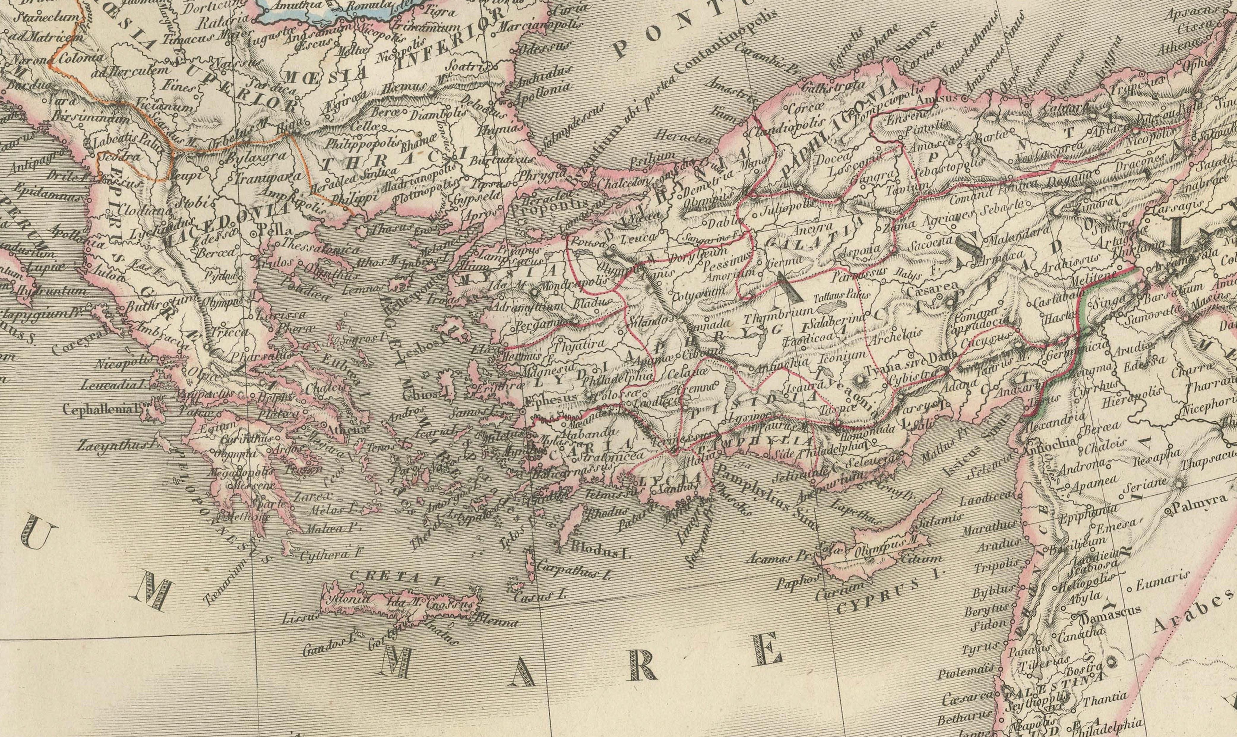
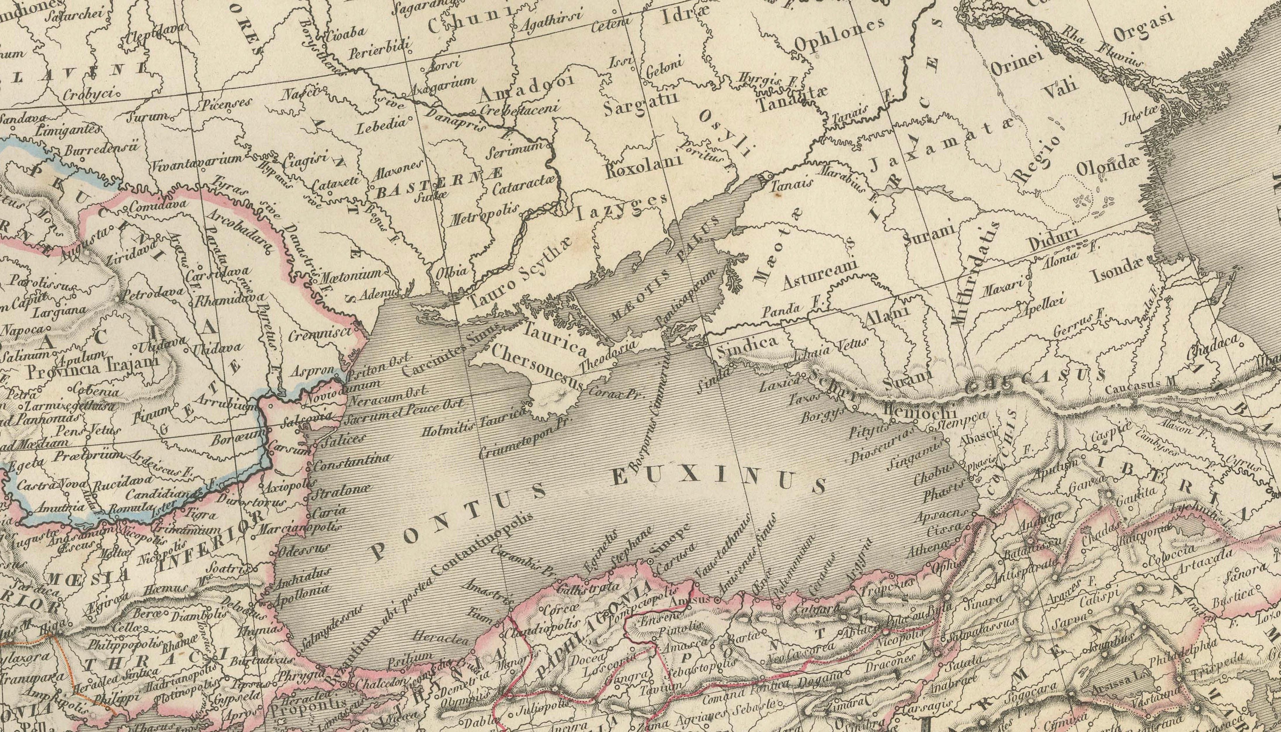
The map depicts the Roman Empire at its greatest extent, spanning across Europe, North Africa, and the Near East. The composition clearly outlines the imperial boundaries, delicately highlighted with original hand coloring, while an intricate network of cities, provinces, and ancient regions provides rich geographical and historical context. Major features such as the Mediterranean basin, the British Isles, Asia Minor, and the Levant are rendered with fine engraved detail and subtle tonal shading.
The engraving was executed by Pierre Antoine Tardieu, a respected member of the renowned Tardieu family of French engravers, known for their precision and contribution to scientific and cartographic works. His refined linework enhances both the readability and visual elegance of the map.
The balanced composition, combined with restrained color and exceptional detail, gives this sheet a timeless decorative quality. It functions equally well as a historical document and as a sophisticated interior piece, particularly suited for a study, office, or curated gallery wall.
Condition report:
Good condition overall. Light age toning and scattered foxing visible, mainly in the margins. Original center fold as issued. Paper remains strong and stable. Plate mark visible.
Framing tips:
Ideal for a dark walnut or black frame with a generous ivory or cream mat to enhance the subtle hand coloring and fine engraved detail. Particularly effective in a study, library, or as part of a curated gallery wall of historical maps.
Keywords:
antique Roman Empire map, Lapie atlas 1838, Tardieu engraving, Europe map antique, Mediterranean map 19th century, classical antiquity map, ancient Rome map, historical empire map, French atlas engraving, Roman Empire chart, antique Europe map, ancient geography print, antique historical map, 19th century map engraving, decorative antique map
Note: This map is an original antique engraving and not a reproduction. It is offered unframed. Frame shown for presentation purposes only.
Technique: Engraving with original hand coloring
Maker: M. Lapie, engraved by Pierre Antoine Tardieu, Paris, 1838