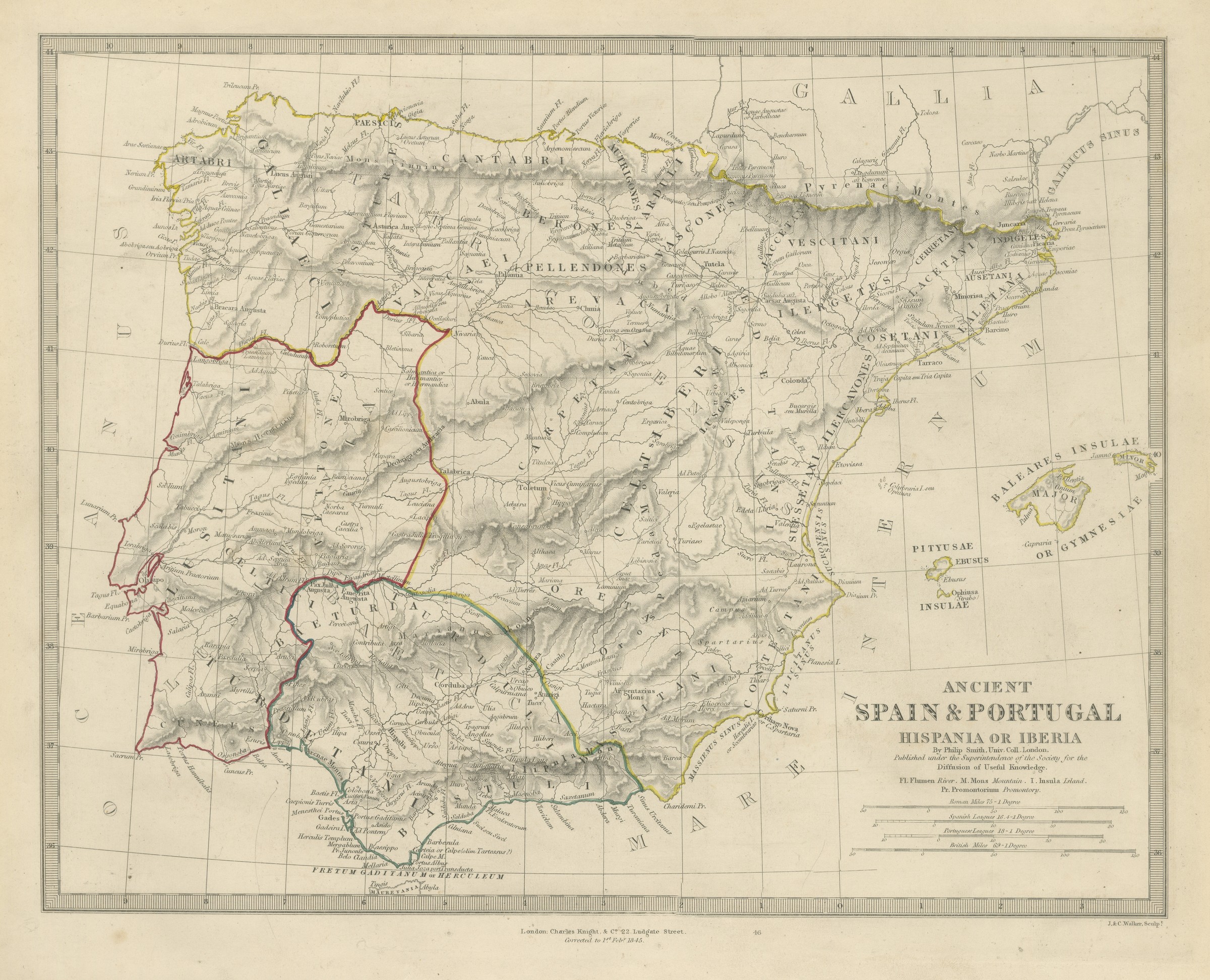
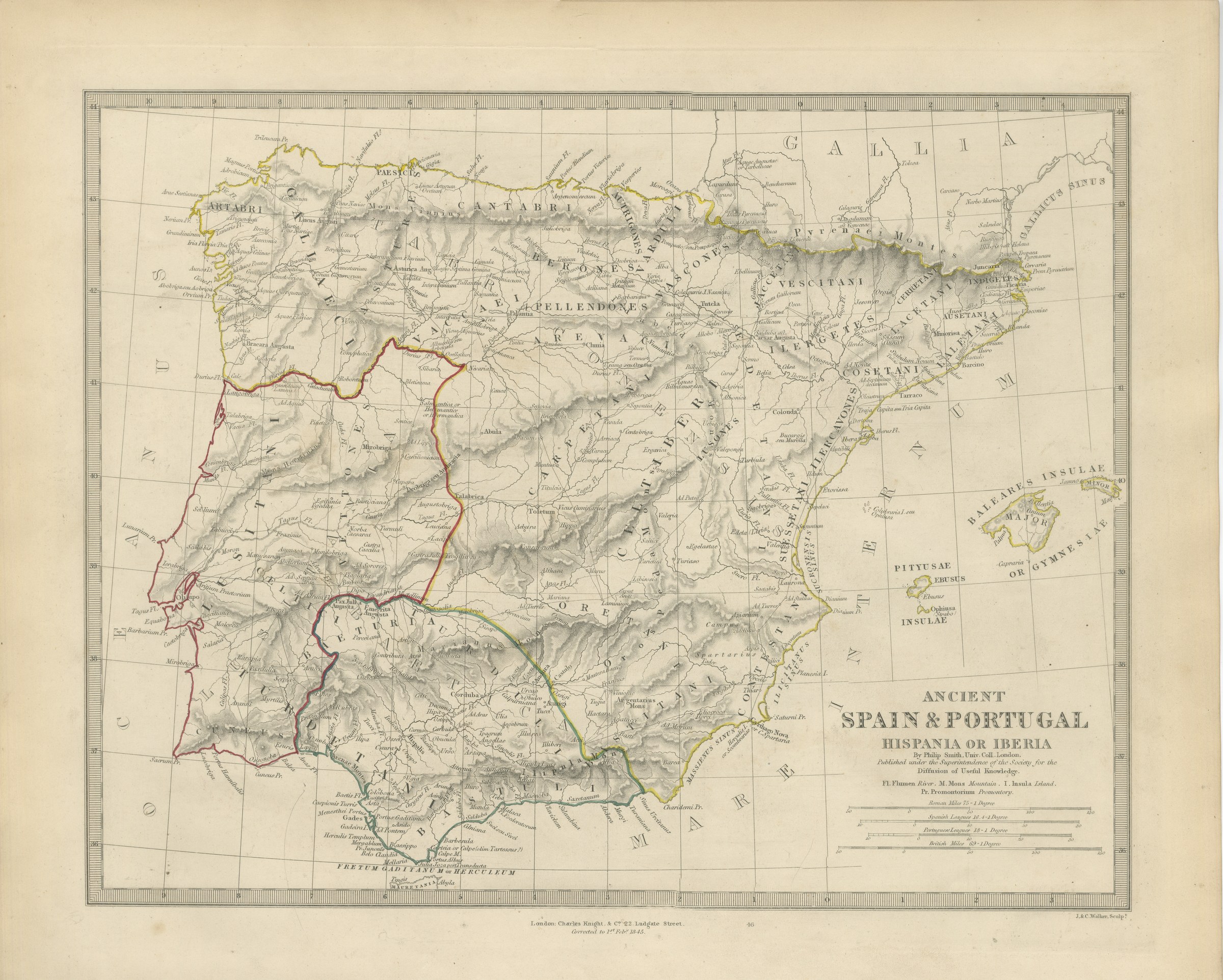
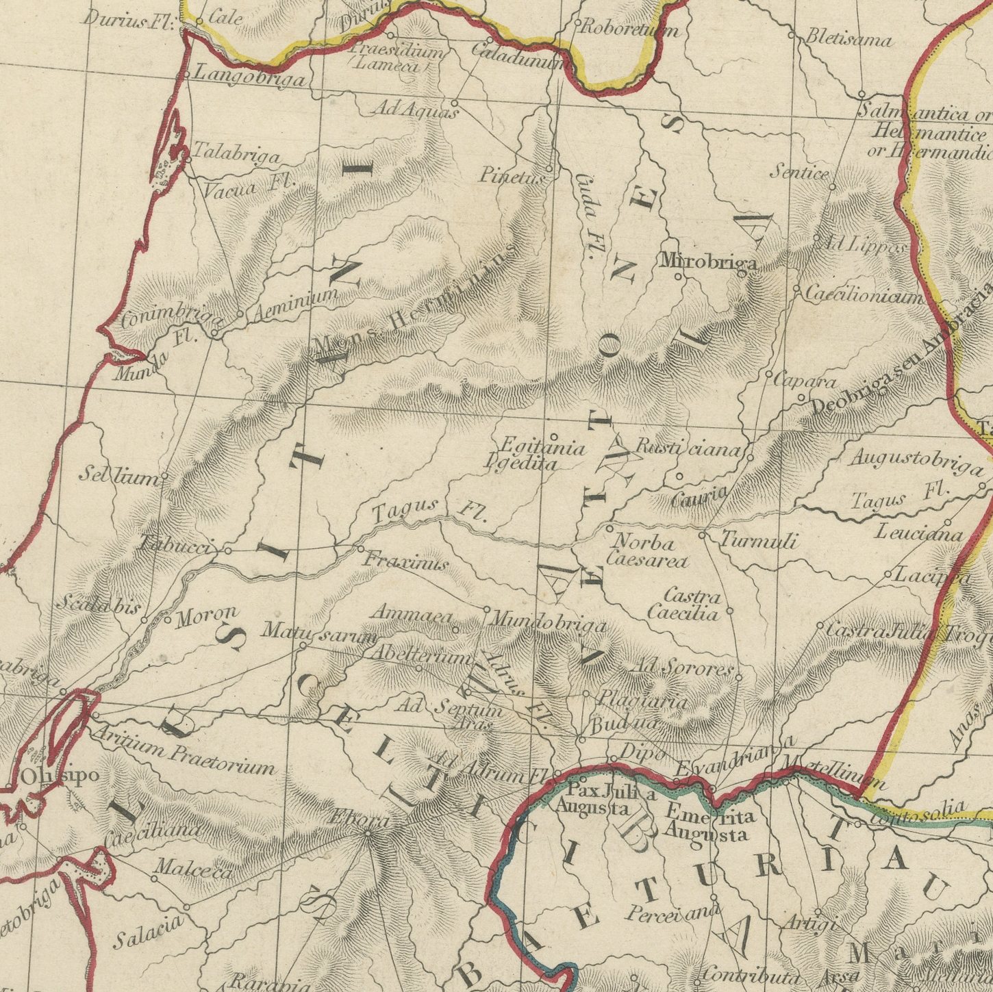
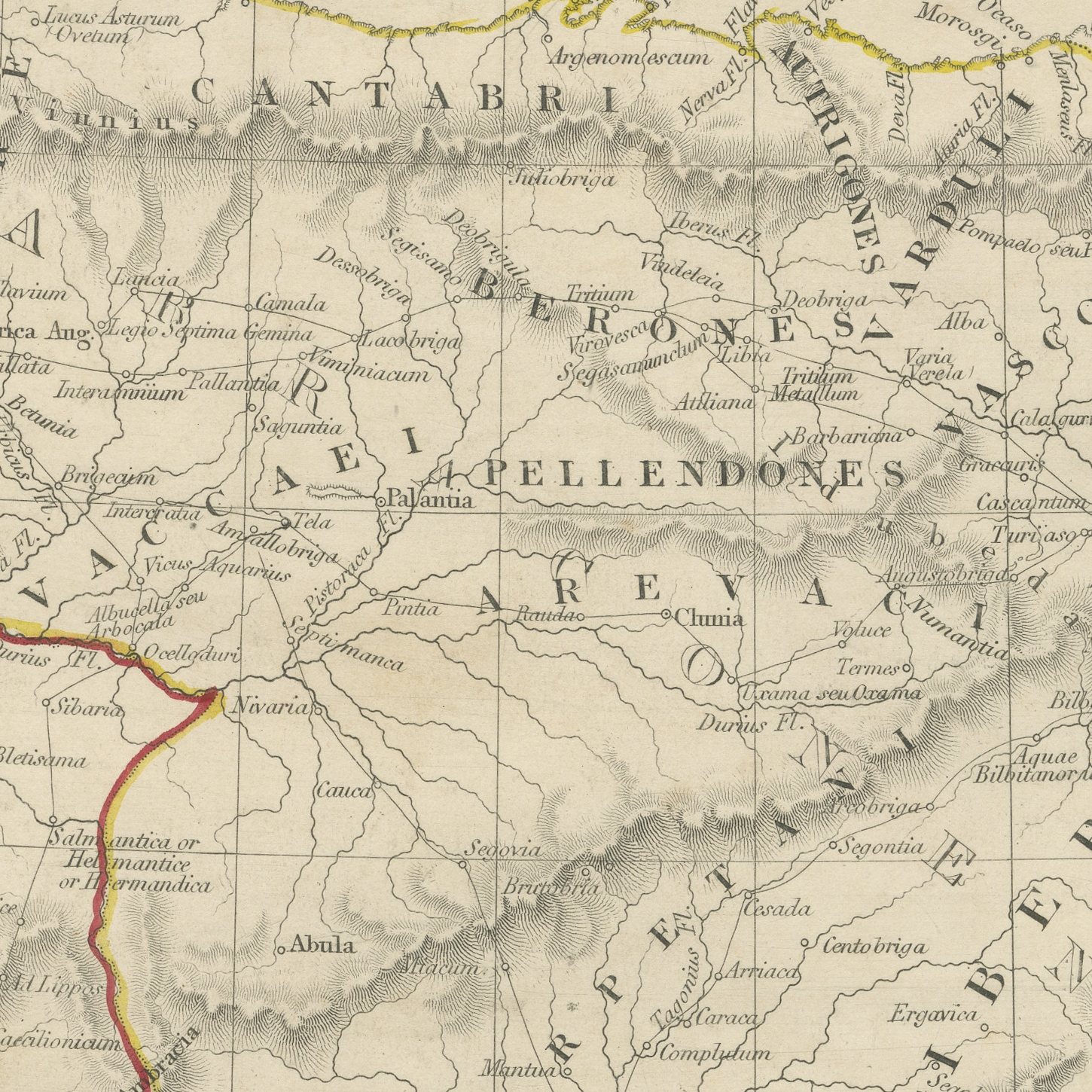
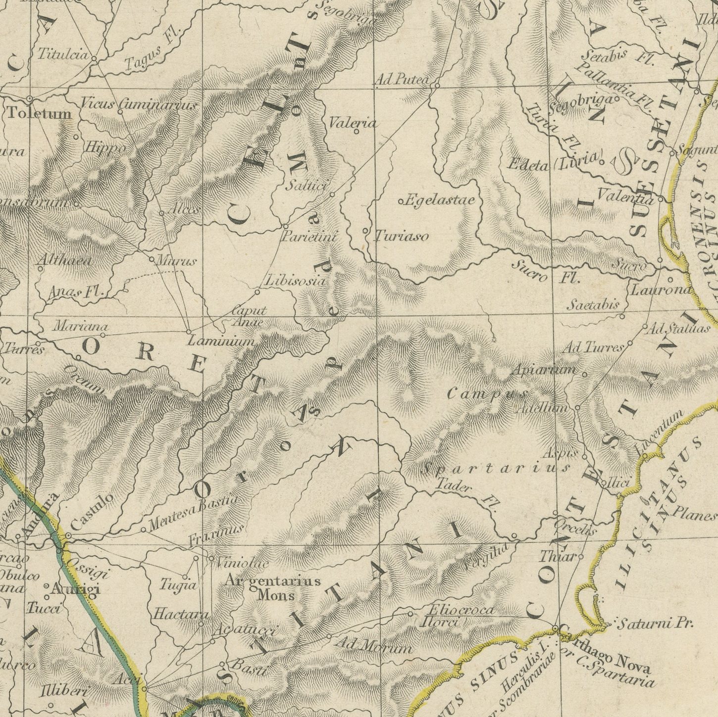
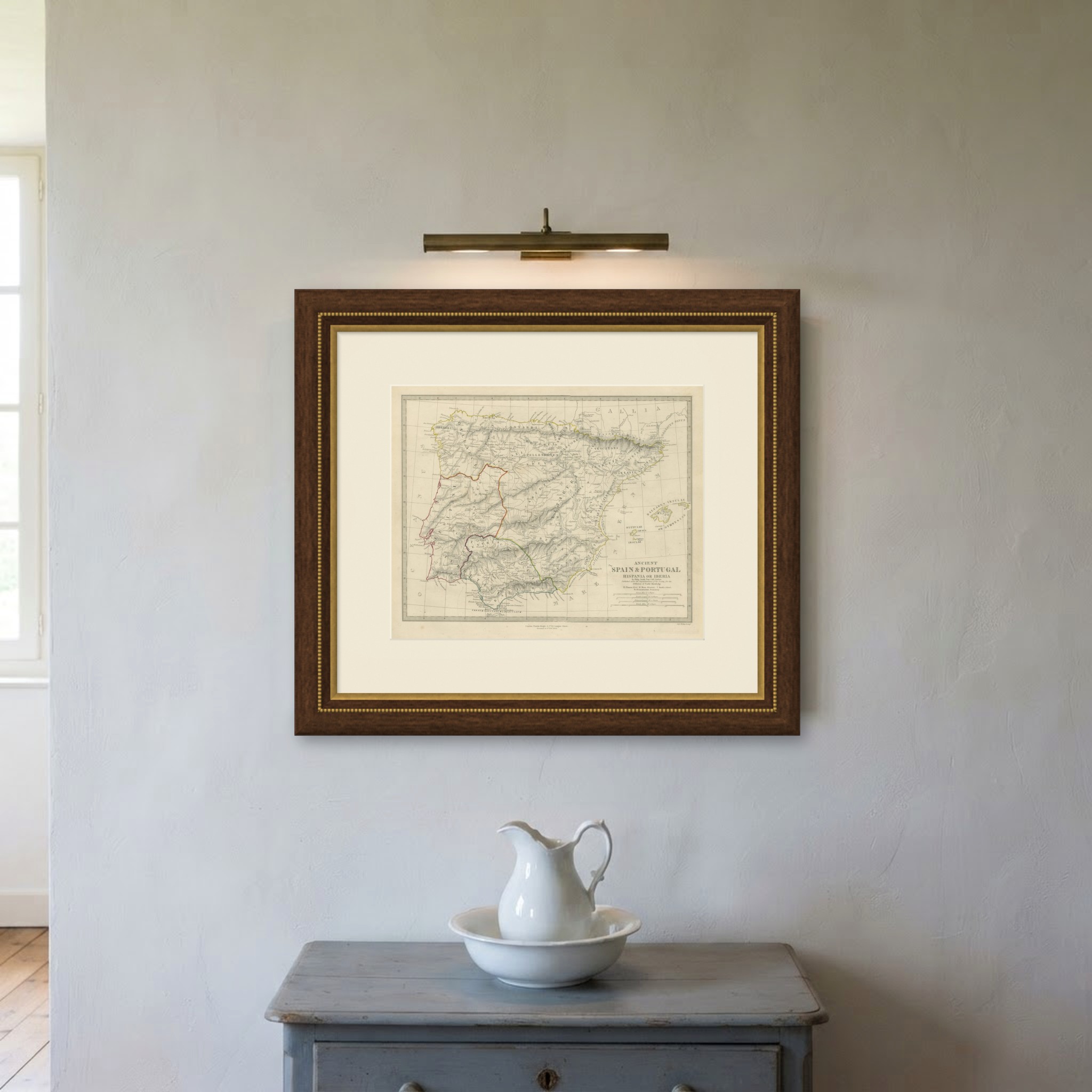
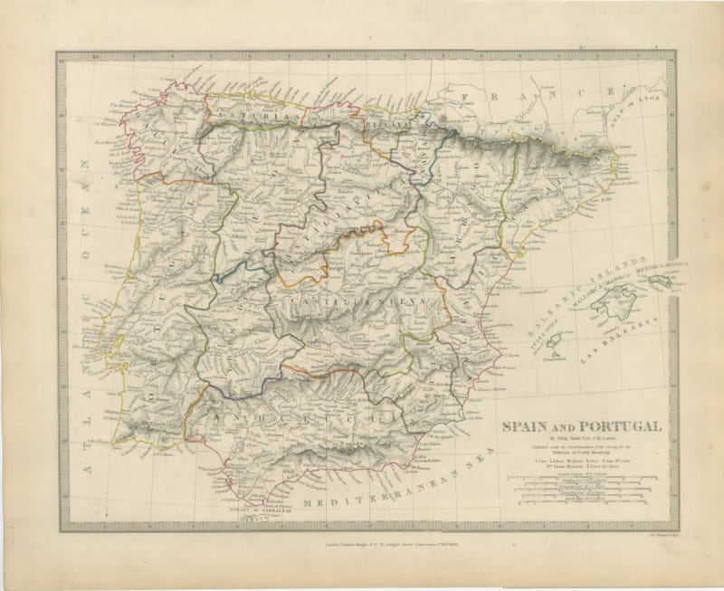
Ancient Spain and Portugal, Hispania or Iberia, Antique Map, 1844
€ 195
Original antique · The actual sheet photographed · Certificate of authenticity on request · Sold unframed · Worldwide shipping from € 15 (rates)
Date
1844
Mapmaker / artist
Society for the Diffusion of Useful Knowledge, London; engraved by John and Charles Walker
Publisher
Charles Knight and Company, 22 Ludgate Street, London
Technique
Steel Engraving
Coloring
Original hand color
Sheet size
35 × 43.5 cm (13.8 × 17.1 in)
Condition
Good
Reference
BG-14487-2-39
What the condition grades mean
Excellent
Bright and clean, with no faults worth mentioning.
Very good
Only light signs of age, such as faint toning.
Good
Normal signs of age for a sheet of this period: toning, some foxing, small marks or neat old repairs.
Fair
Clear faults such as staining, tears or repairs, priced to match.
Every fault we see is written in the condition note, and the whole sheet is shown uncropped in the photos.
Condition
Moderate overall age toning, with the paper darker along the top and left edges, foxing through the margins, one or two spots larger than the rest, stains in the margins and handling wear to the top right corner.
About this sheet
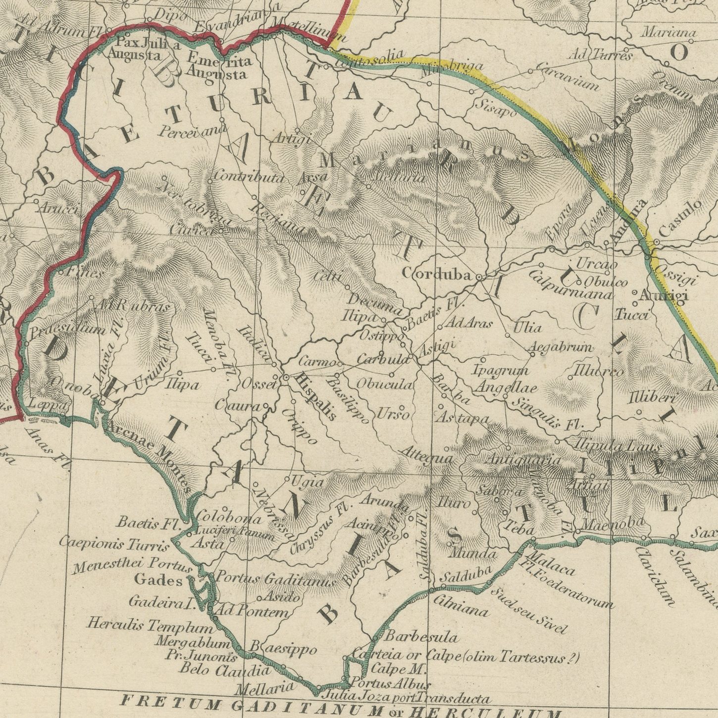
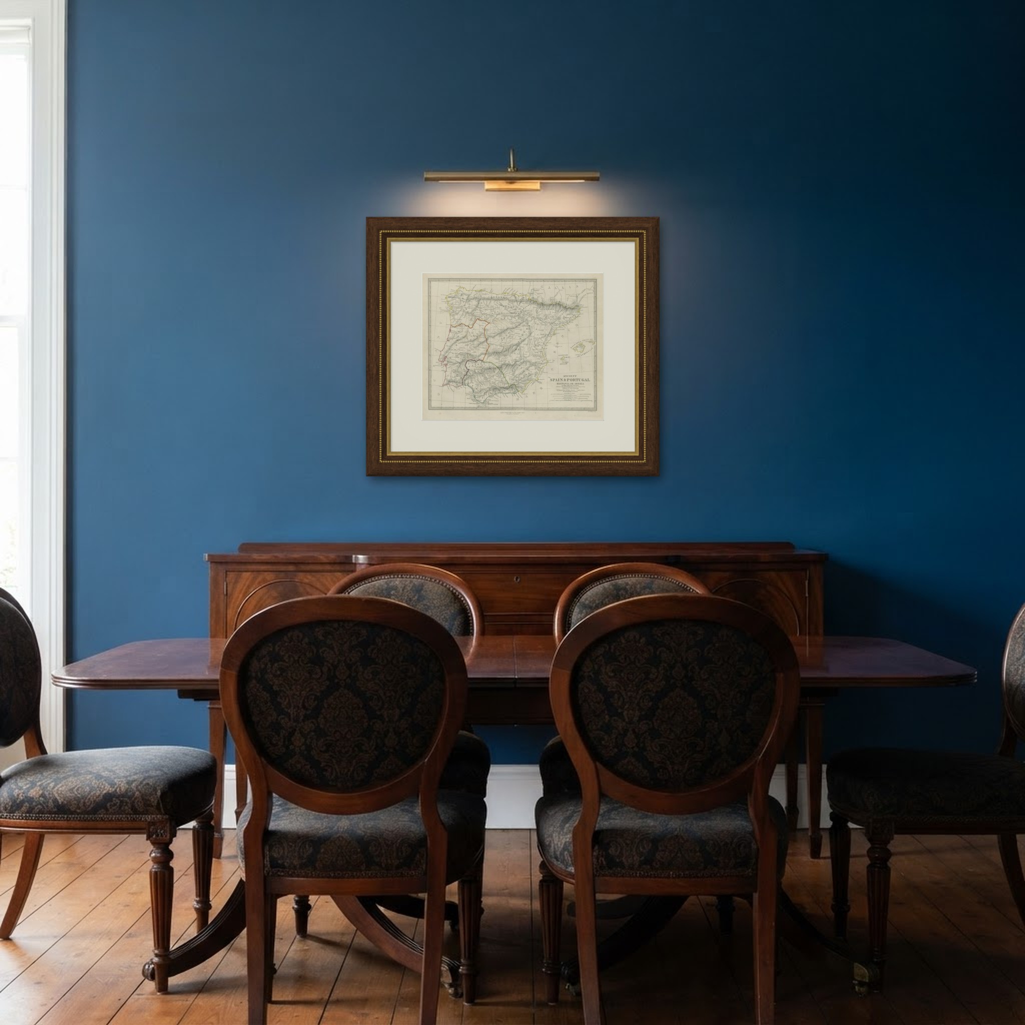
This antique classical map of the Iberian peninsula, corrected to October 1844, shows Spain and Portugal as the Romans knew them under the names Hispania and Iberia. The three great provinces of Lusitania, Baetica and Tarraconensis are divided by hand applied color in red, yellow and green, and the names of the ancient peoples are engraved across the country in open capitals, with the Cantabri and Vascones in the north, the Celtiberi in the center, the Vettones, Carpetani and Oretani in the interior and the Turdetani in the south. Every town carries its Roman name, so Tarraco, Caesaraugusta, Toletum, Emerita Augusta, Corduba, Hispalis and Gades stand where Tarragona, Zaragoza, Toledo, Merida, Cordoba, Seville and Cadiz are now. The Baleares Insulae are shown as an inset at the right, lettered also as the Pityusae or Gymnesiae. The map is credited to Philip Smith of Trinity College, London, and the scales give Roman miles, Greek stadia and British miles together.
The plate comes from Maps of the Society for the Diffusion of Useful Knowledge, in the new edition corrected to the present time that Charles Knight and Company published at 22 Ludgate Street, London, in 1845, whose first volume covers Europe. The Society was founded in 1826 by Henry Brougham and his circle to publish useful knowledge at a low price. Its maps were issued in parts from 1829, first by Baldwin and Cradock, from 1842 by Chapman and Hall and then by Charles Knight, and the series grew to about two hundred maps. Most of them were engraved on steel by John and Charles Walker, and the outline color was applied by hand.
The imprint at the foot names Charles Knight and Company of 22 Ludgate Street, London, with the note corrected to 1 October 1844.
Moderate overall age toning, with the paper darker along the top and left edges, foxing through the margins, one or two spots larger than the rest, stains in the margins and handling wear to the top right corner.
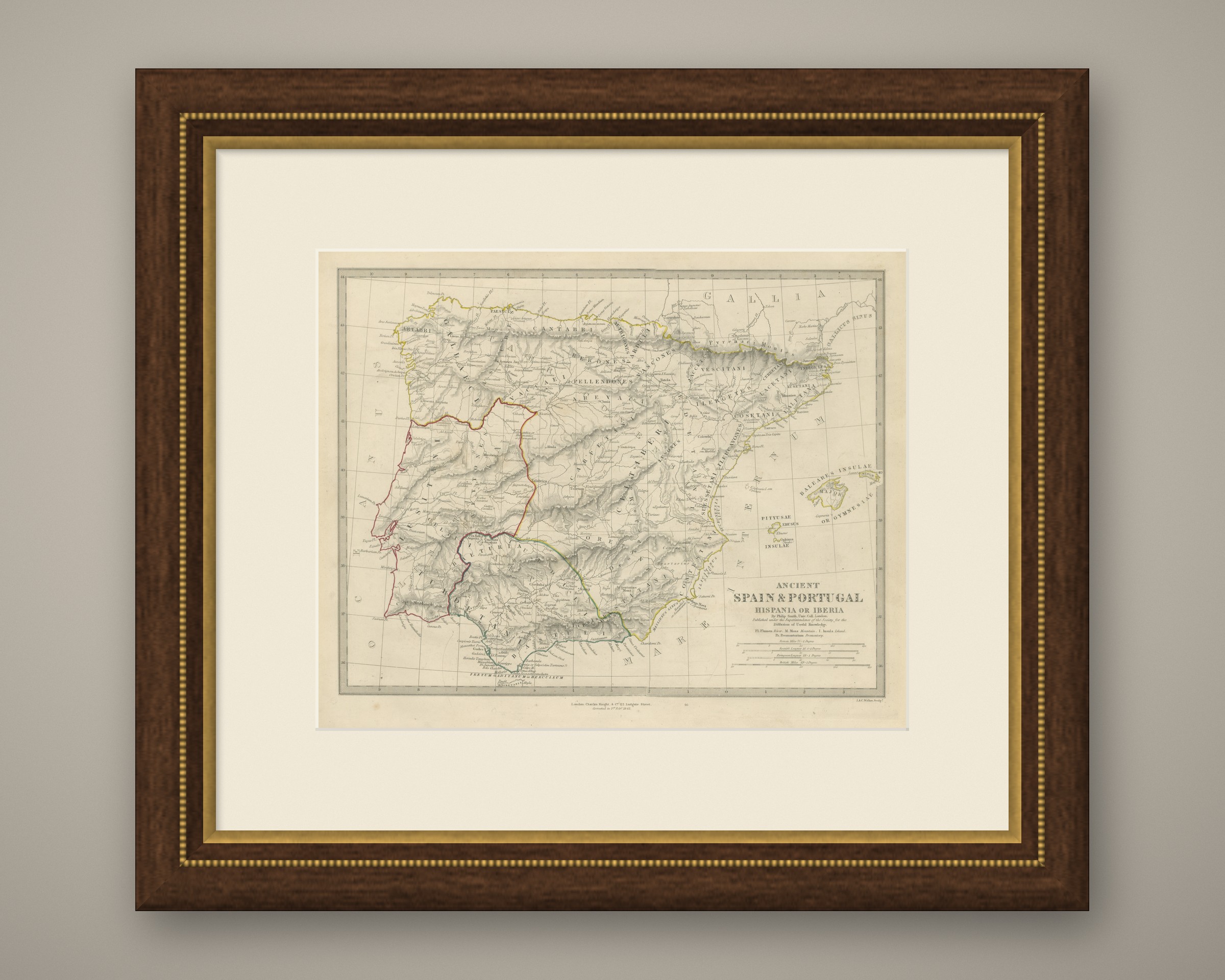
This is an original antique map, not a modern reproduction. This item is sold unframed. Any framed or interior images are shown for presentation and inspiration only, unless the listing explicitly states that the item is sold framed.