About this sheet
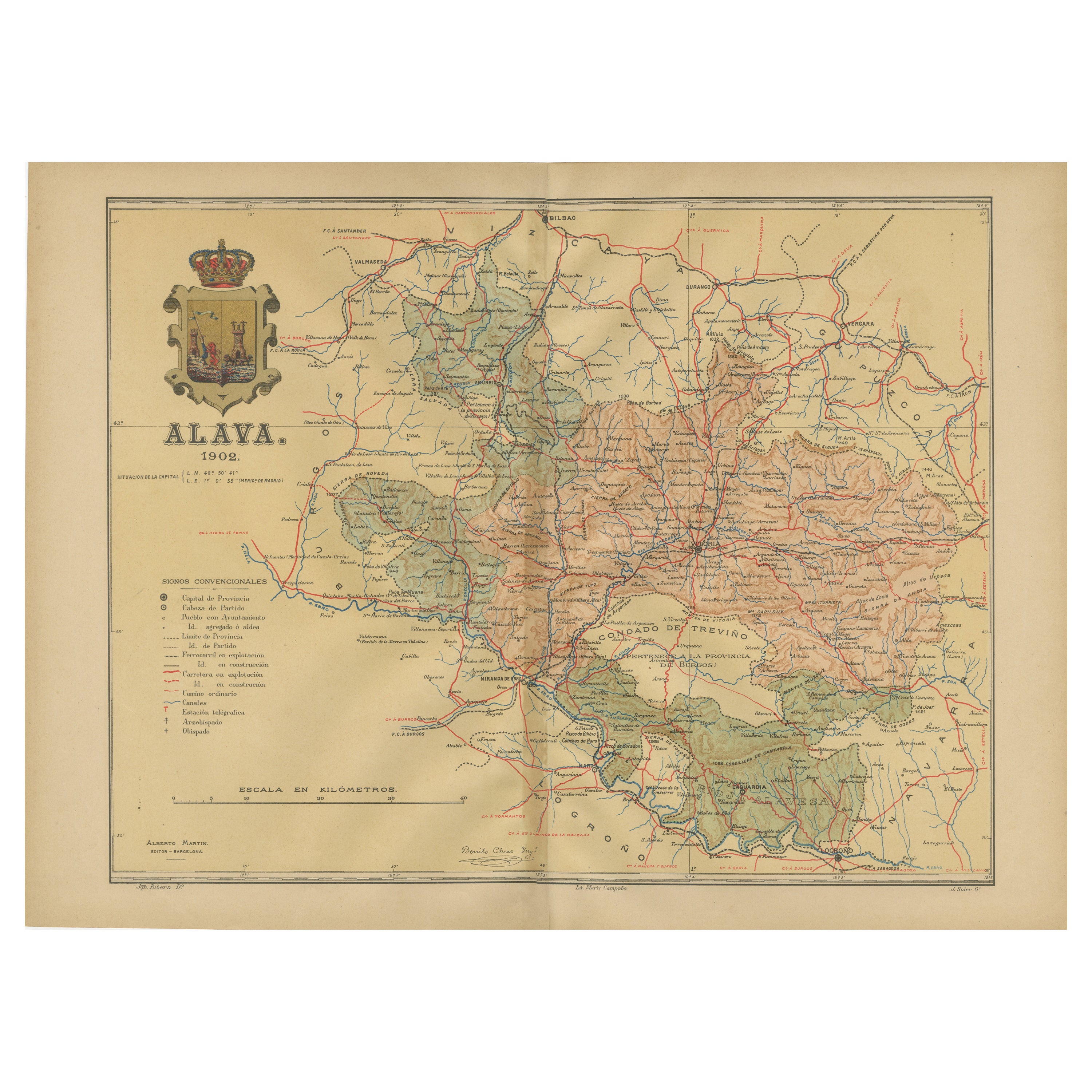
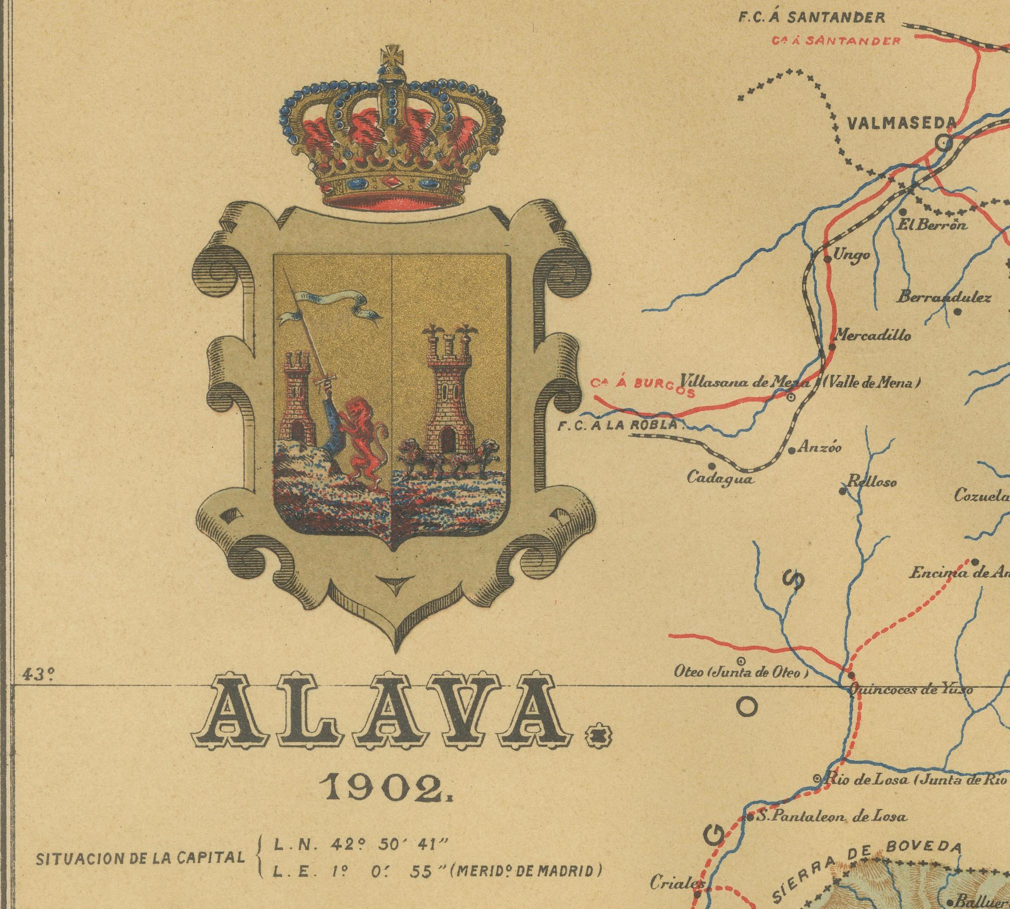
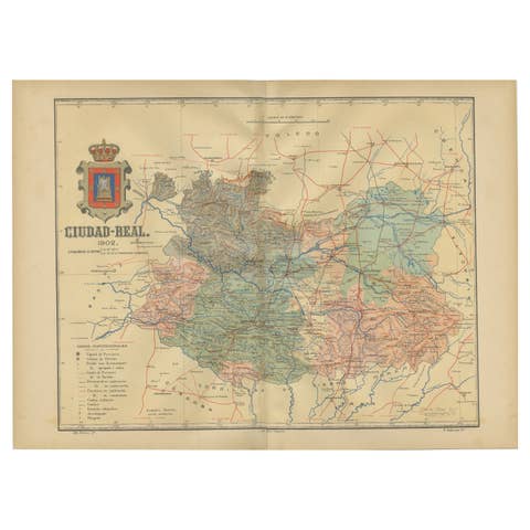
This original antique map is a historical depiction of the province of Álava (in Basque: Araba), which is one of the provinces of the Basque Country in northern Spain, as indicated by the text "Álava 1902". This particular map is part of the "Atlas Geográfico Ibero-Americano España," produced by D. Benito Chias y Carbo, a known cartographer.
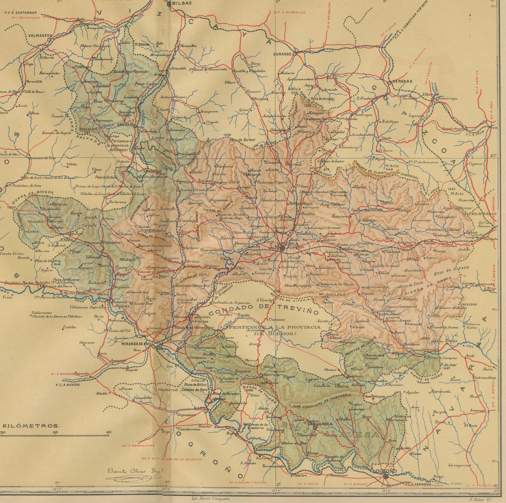
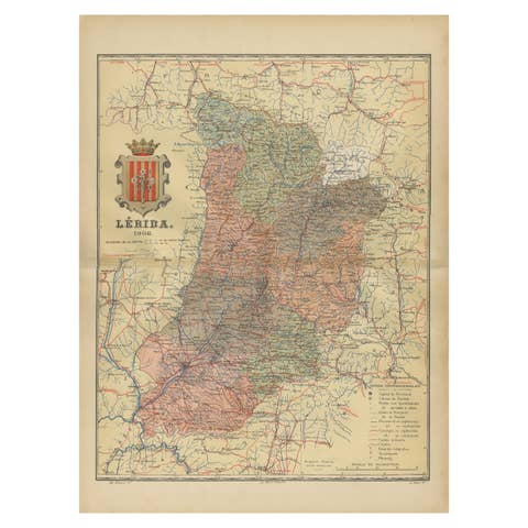
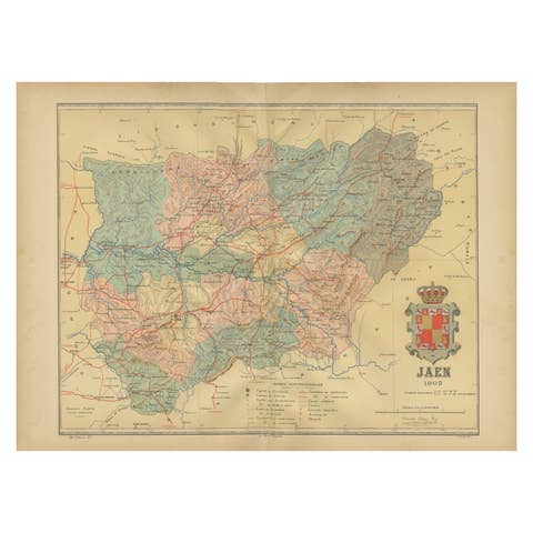
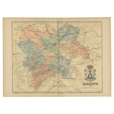
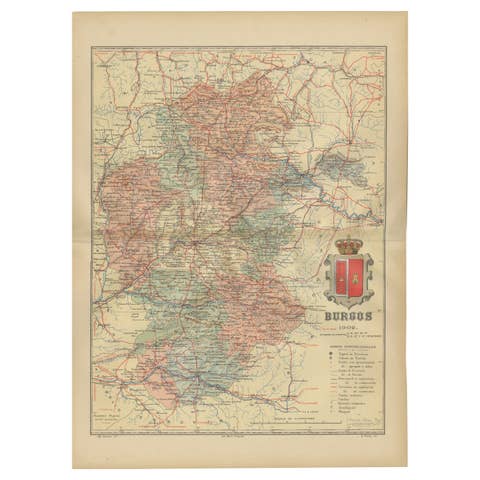
The map features various elements common to geographic maps of the period:
- **Topography**: It shows the mountainous terrain of the region through contour lines and shading, indicating elevation changes.
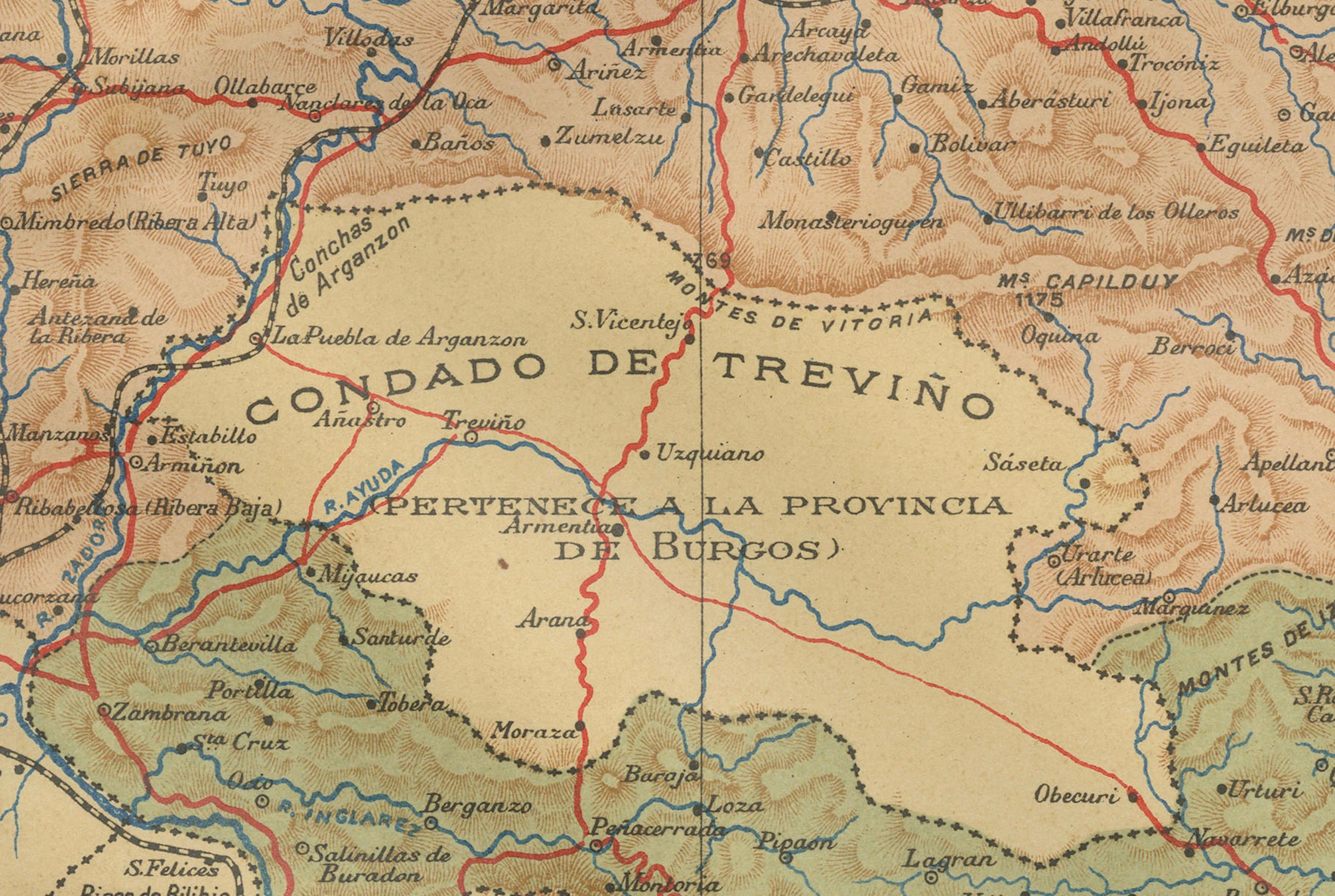
- **Political Boundaries**: There are lines that demarcate the borders of Álava, including the enclave of Treviño (Condado de Treviño).
- **Waterways**: Rivers and streams are marked in blue, with notable water bodies being labeled.
- **Transportation Networks**: Red lines indicate roads and railways, connecting major towns and cities.
- **Urban Areas**: Towns and cities are marked with circles or dots, with larger urban centers likely represented by larger symbols.
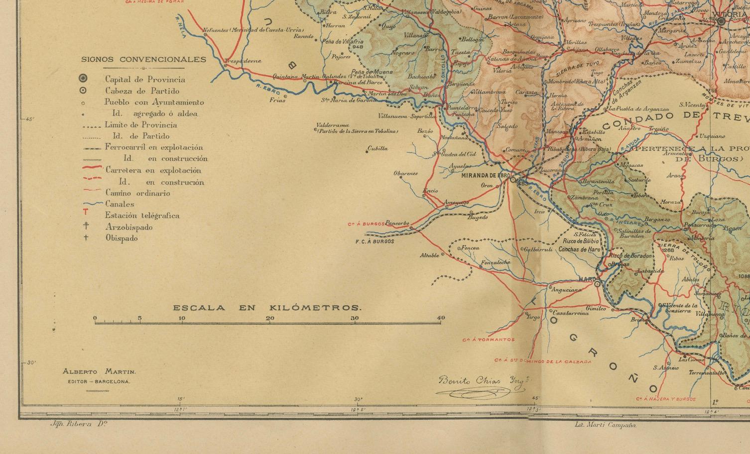
- **Annotations**: The map includes a legend (Signos Convencionales), explaining the symbols used for roads, railways, provincial and municipal boundaries, etc.
- **Scale**: The scale of the map is provided in kilometers, located at the bottom center of the map.
- **Decorative Elements**: The coat of arms of Álava is prominently displayed at the top, adding a decorative and heraldic element to the map.
This map would have been an important tool for understanding the geographic and political landscape of Álava in the early 20th century.
The coat of arms depicted in the image has several distinctive features:
- **Crown**: At the top, there is an ornate crown with a blue cap and detailed golden embellishments, suggesting a connection to royal authority.
- **Shield**: The shield below the crown is quartered, indicating it has four sections, each with its own symbol:
- **Upper Left**: Features what appears to be a tower or castle on a red background, which is a common symbol of fortitude and defense in heraldry.
- **Upper Right**: Displays another tower or castle, similar to the one on the left.
- **Lower Left**: There is a figure that resembles a lion, a common heraldic symbol representing bravery and valor.
- **Lower Right**: Also contains a lion, mirroring the image on the left.
- **Supporters**: On either side of the shield, there are figures that seem to be supporters holding the shield. These figures are not clearly visible, but they often represent guardians of the shield and are symbolic of protection and strength.
- **Compartment**: The supporters and shield rest upon a compartment, which might depict a particular landscape or foundation related to the region.
- **Mantling**: Around the shield, there appears to be decorative mantling, which in heraldry represents the protective cloth covering worn by knights over their helmets and armor.
The vibrant highlighted gold colors, the use of traditional heraldic symbols like towers and lions, and the ornate crown all contribute to a coat of arms that is rich in symbolism and indicative of the historical and cultural significance of Álava.