Charming Miniature Map of Thrace or Thrake in Southeast Europe, 1685
€ 330
Original antique · The actual sheet photographed · Certificate of authenticity on request · Sold unframed · Worldwide shipping from € 15 (rates)
Date
1685
Sheet size
13 × 13.5 cm (5.1 × 5.3 in)
Condition
Good
Reference
PCT-62049
Condition
Given age. Original folds as issued. General age-related toning and/or occasional minor defects from handling. Please review the images for further condition details.
About this sheet
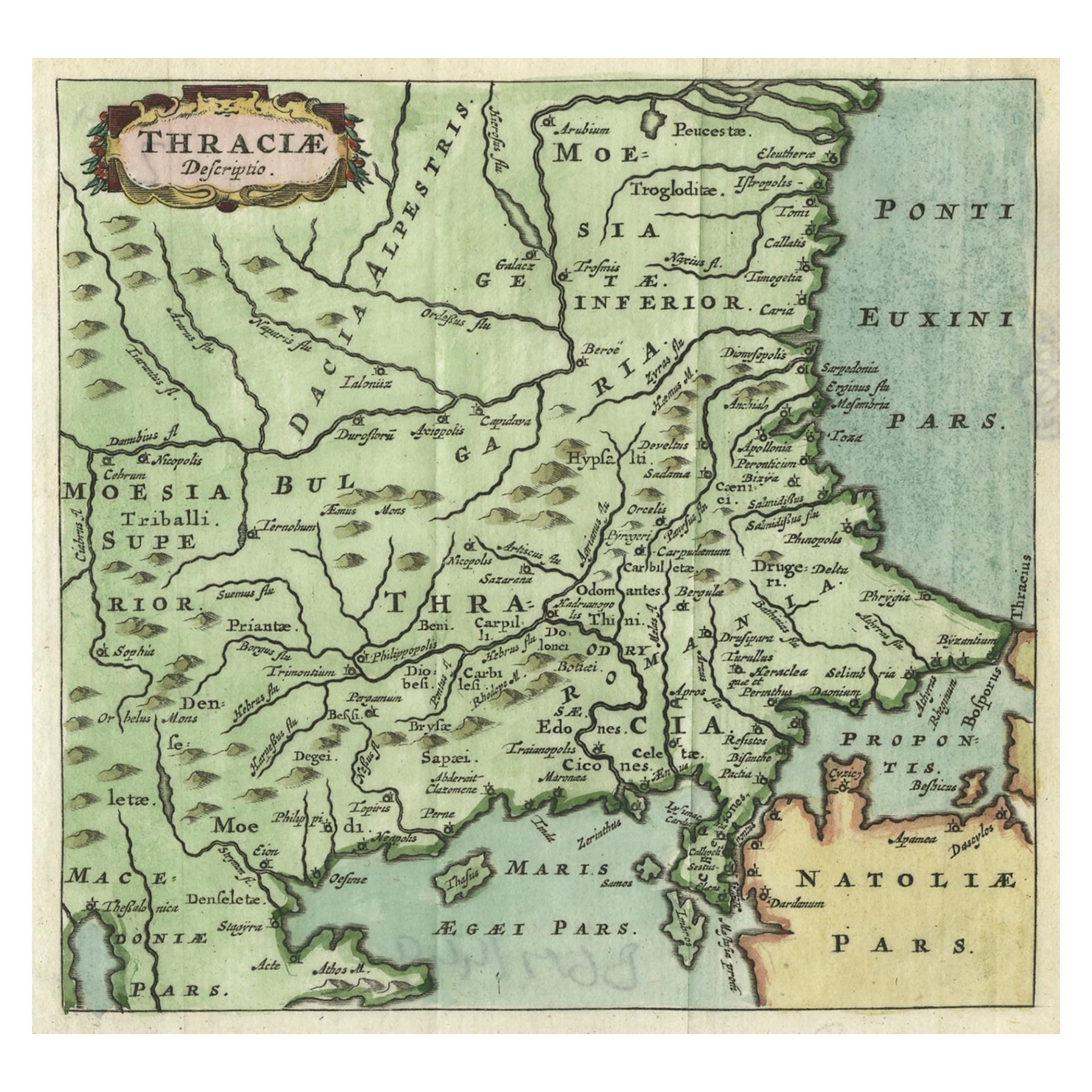
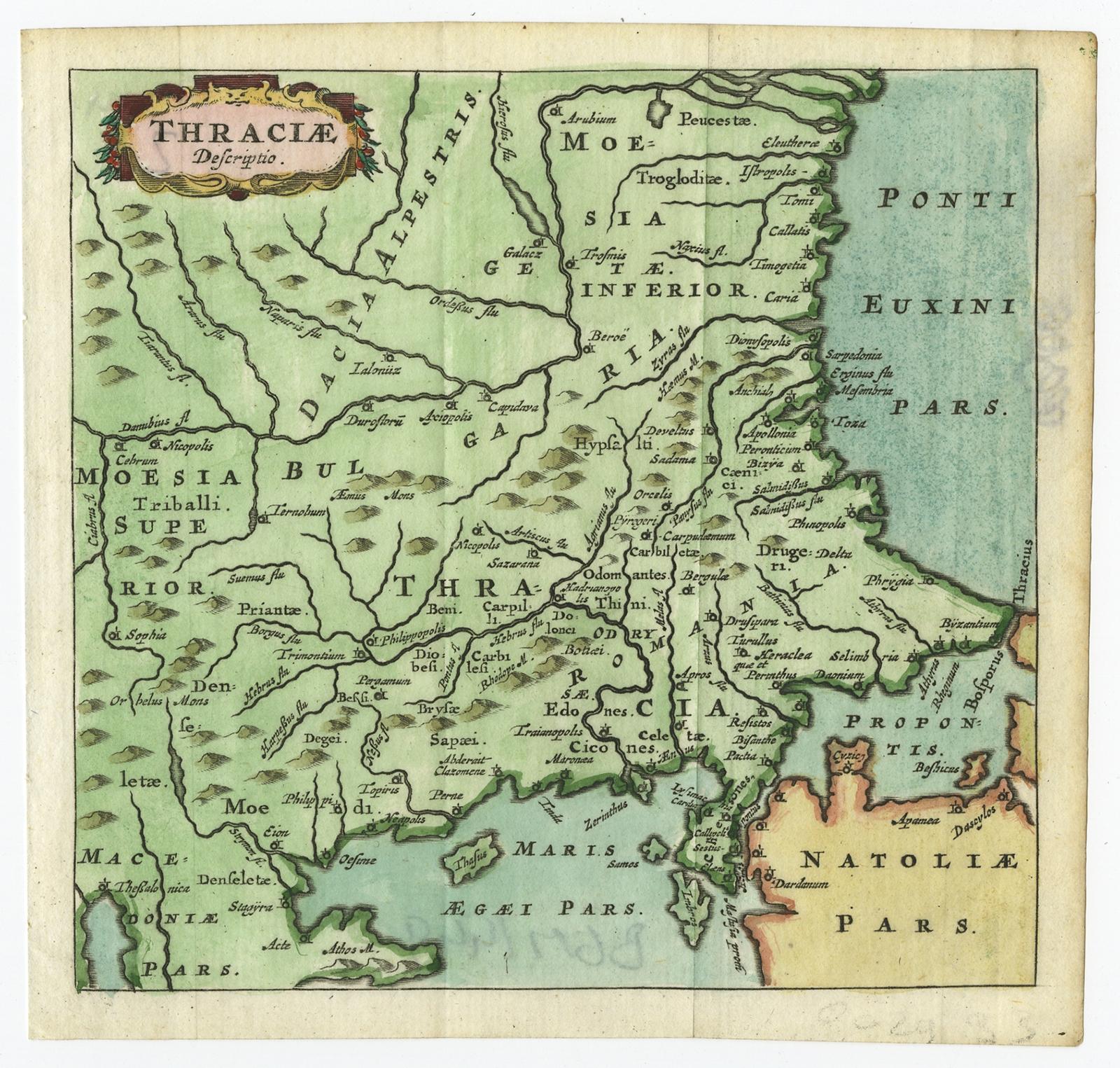
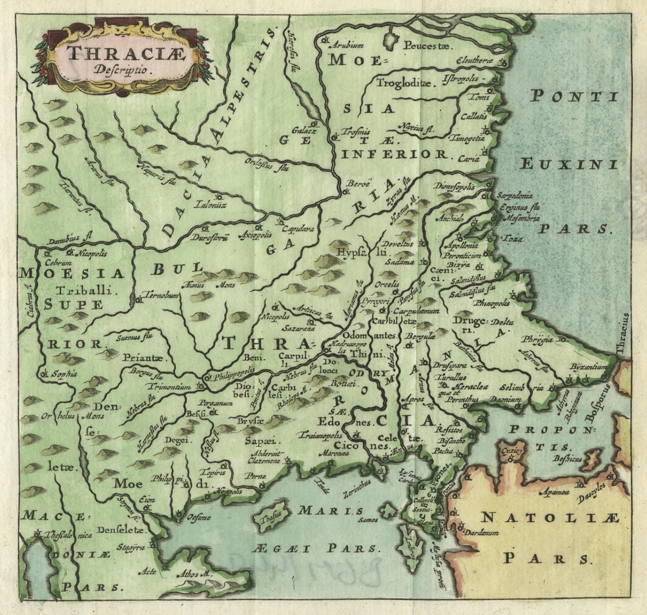
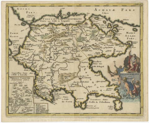
Antique map titled 'Thraciae Descriptio.'
Charming miniature map of Thrace, from the pocket atlas 'Introductionis in Universam Geographiam tam Veterem quam novam .. Acessit P. Bertii (Bertius) Brevarium Orbis Terrarum', by Ph. Cluverius (Cluver). Source unknown, to be determined.
Thrake is a geographical and historical region in Southeast Europe, now split among Bulgaria, Greece, and Turkey, which is bounded by the Balkan Mountains to the north, the Aegean Sea to the south, and the Black Sea to the east. It comprises southeastern Bulgaria (Northern Thrace), northeastern Greece (Western Thrace), and the European part of Turkey (East Thrace). The region's boundaries are based on that of the Roman Province of Thrace; the lands inhabited by the ancient Thracians extended in the north to modern-day Northern Bulgaria and Romania and to the west into the region of Macedonia.
Artists and Engravers: Philipp Cluver (1580 - 1622), early modern German geographer and historian.