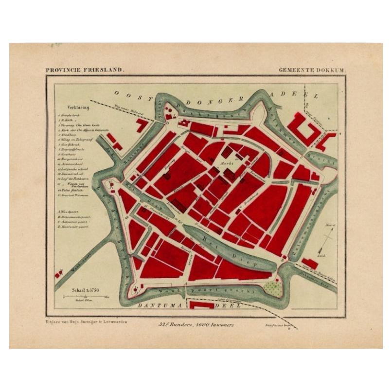
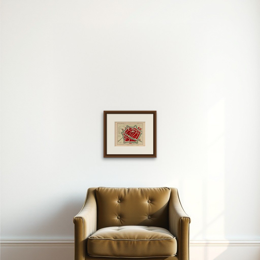
Antique Map of Dokkum a City in the North of Friesland, the Netherlands, 1868
€ 210
Original antique · The actual sheet photographed · Certificate of authenticity on request · Sold unframed · Worldwide shipping from € 15 (rates)
Date
1868
Technique
Engraved
Sheet size
19 × 25 cm (7.5 × 9.8 in)
Reference
PCT-15875
What the condition grades mean
Excellent
Bright and clean, with no faults worth mentioning.
Very good
Only light signs of age, such as faint toning.
Good
Normal signs of age for a sheet of this period: toning, some foxing, small marks or neat old repairs.
Fair
Clear faults such as staining, tears or repairs, priced to match.
Every fault we see is written in the condition note, and the whole sheet is shown uncropped in the photos.
Condition
Fine; occasional foxing as visible on the scans; sheet irregularly cut, not affecting image. Please review the images for further condition details.
About this sheet
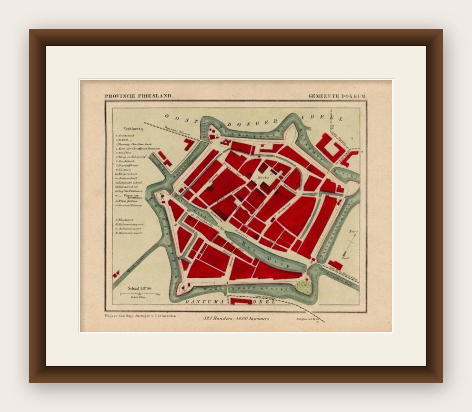
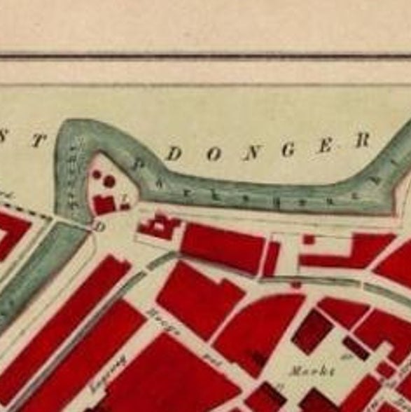
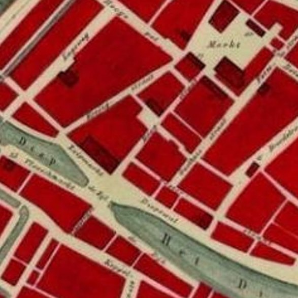
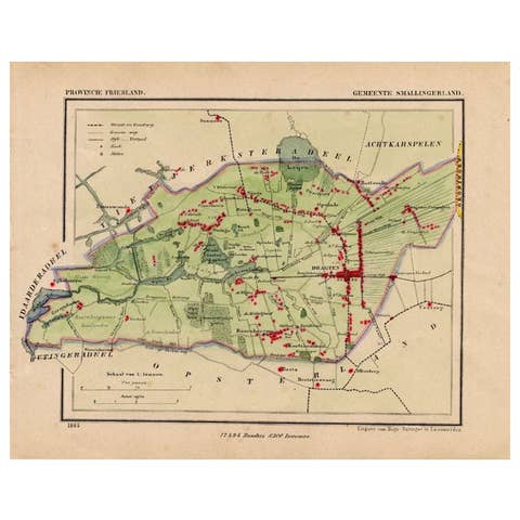
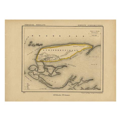
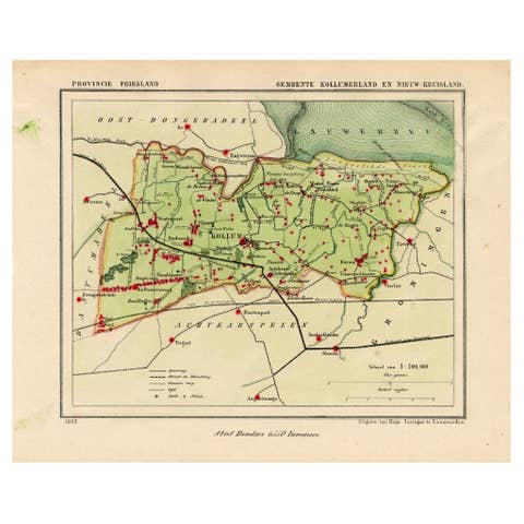
Antique map titled 'Provincie Friesland - Gemeente Dokkum'. Map of the township of Dokkum, Friesland. This map originates from 'Gemeente-Atlas van Nederland' by J. Kuyper.
The best-known event in Dokkum's history is the martyrdom of the Anglo-Saxon missionary Saint Boniface (Dutch: Bonifatius) in 754. Oliver of Cologne preached the Fifth Crusade in Dokkum in 1214 and Dokkum sent a contingent; the crescent in the coat of arms of Dokkum refers to this event. Dokkum acquired city rights in 1298. In 1572 Dokkum was sacked by the Spaniards after it had joined the Dutch Revolt. In 1597, the Admiralty of Friesland was established in Dokkum. However, it was moved to Harlingen in 1645. In 1971 the city was included in the list of Dutch 'Urban and village conservation areas'.
In 1923, when Catholics in the Netherlands were not allowed to engage in public expressions of faith such as processions, a processional park was built south-east of the city center, the Boniface park. Central in the park is the so-called Brouwersbron, the brewers' well, which Titus Brandsma and others (incorrectly) identified as the well that sprang up after the saint's martyrdom. A chapel dedicated to Boniface was built in 1934. Brandsma, a Carmelite priest who was murdered by the Nazis in Dachau in 1942, also designed the park's Stations of the Cross, which were finished in 1949.