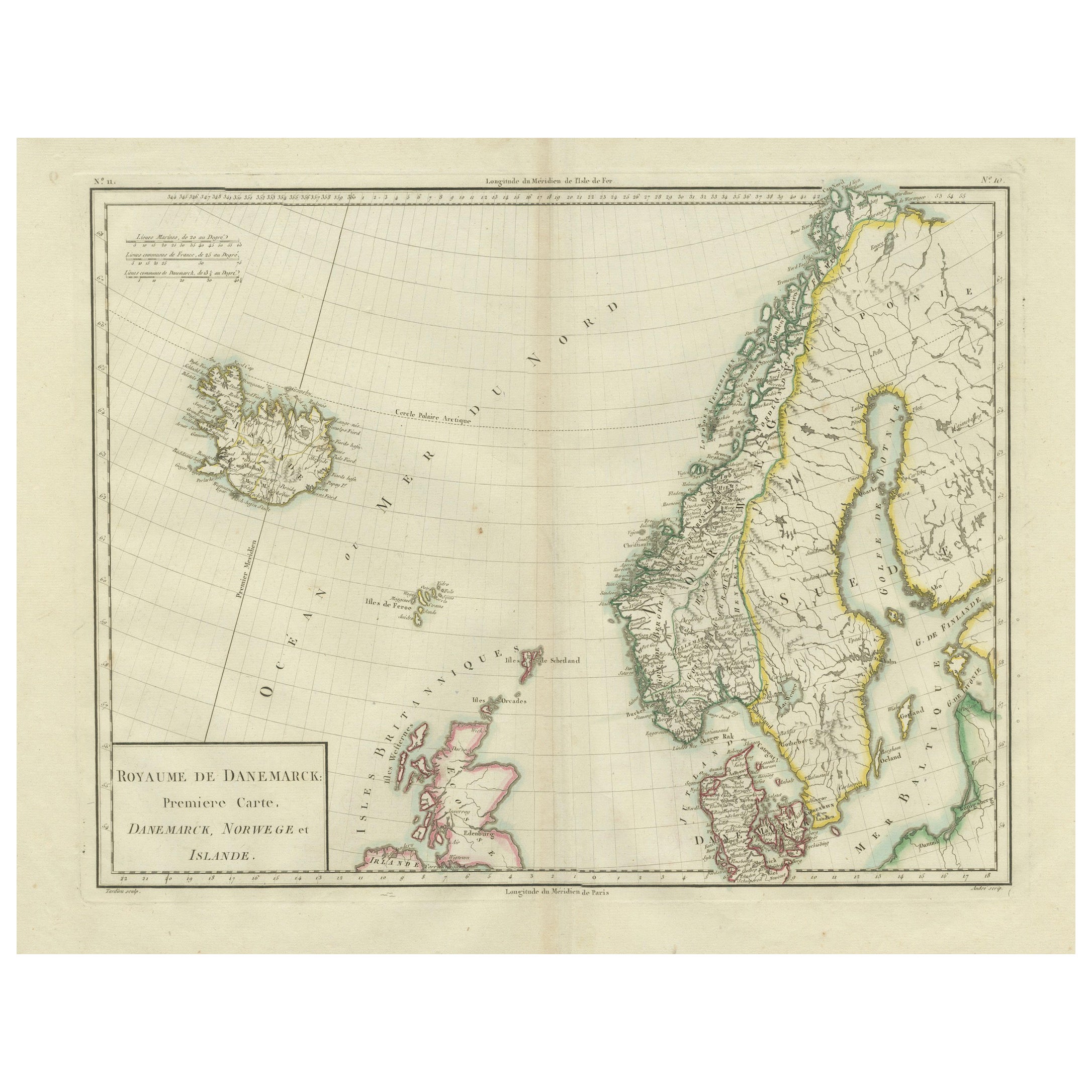
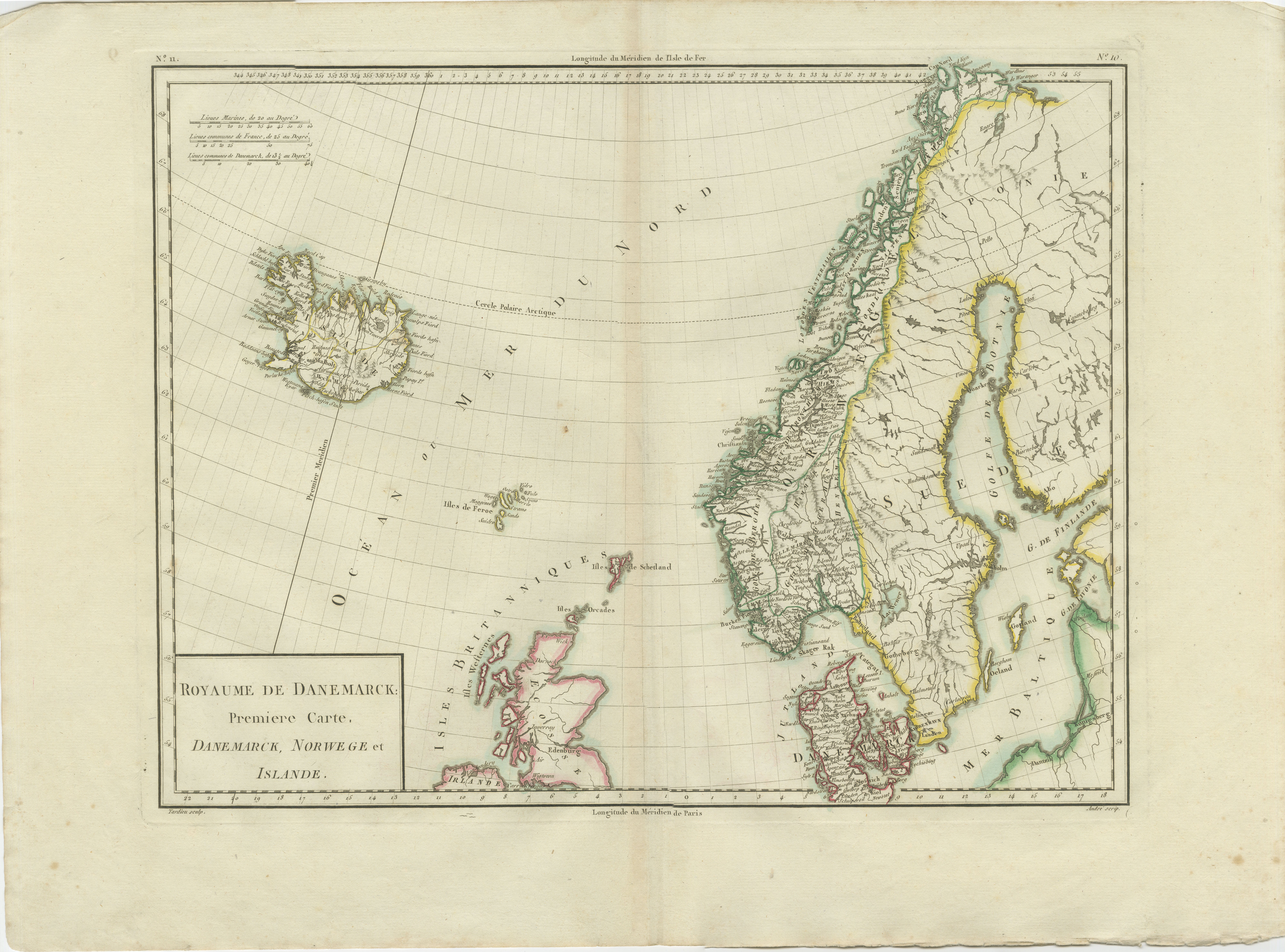
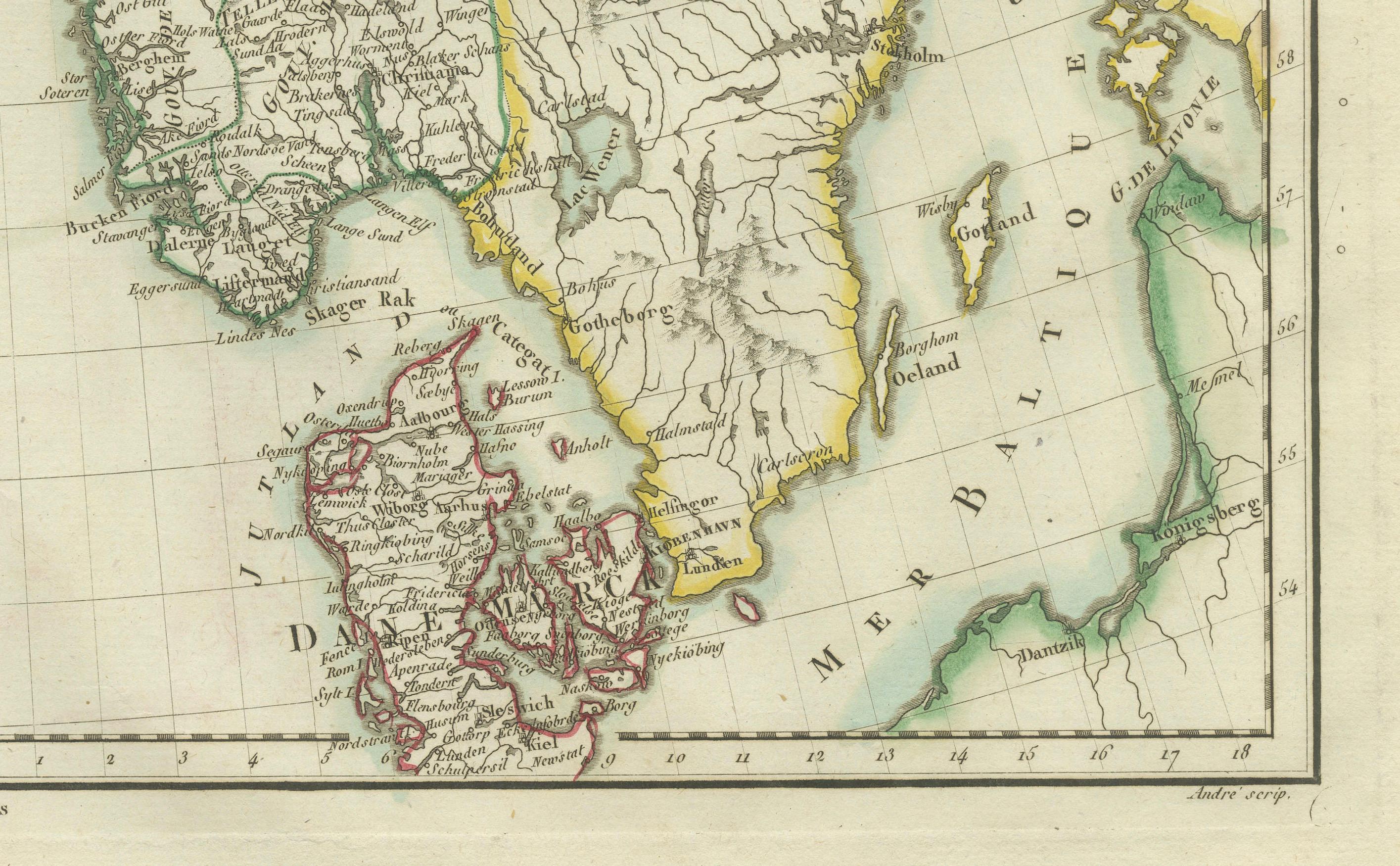
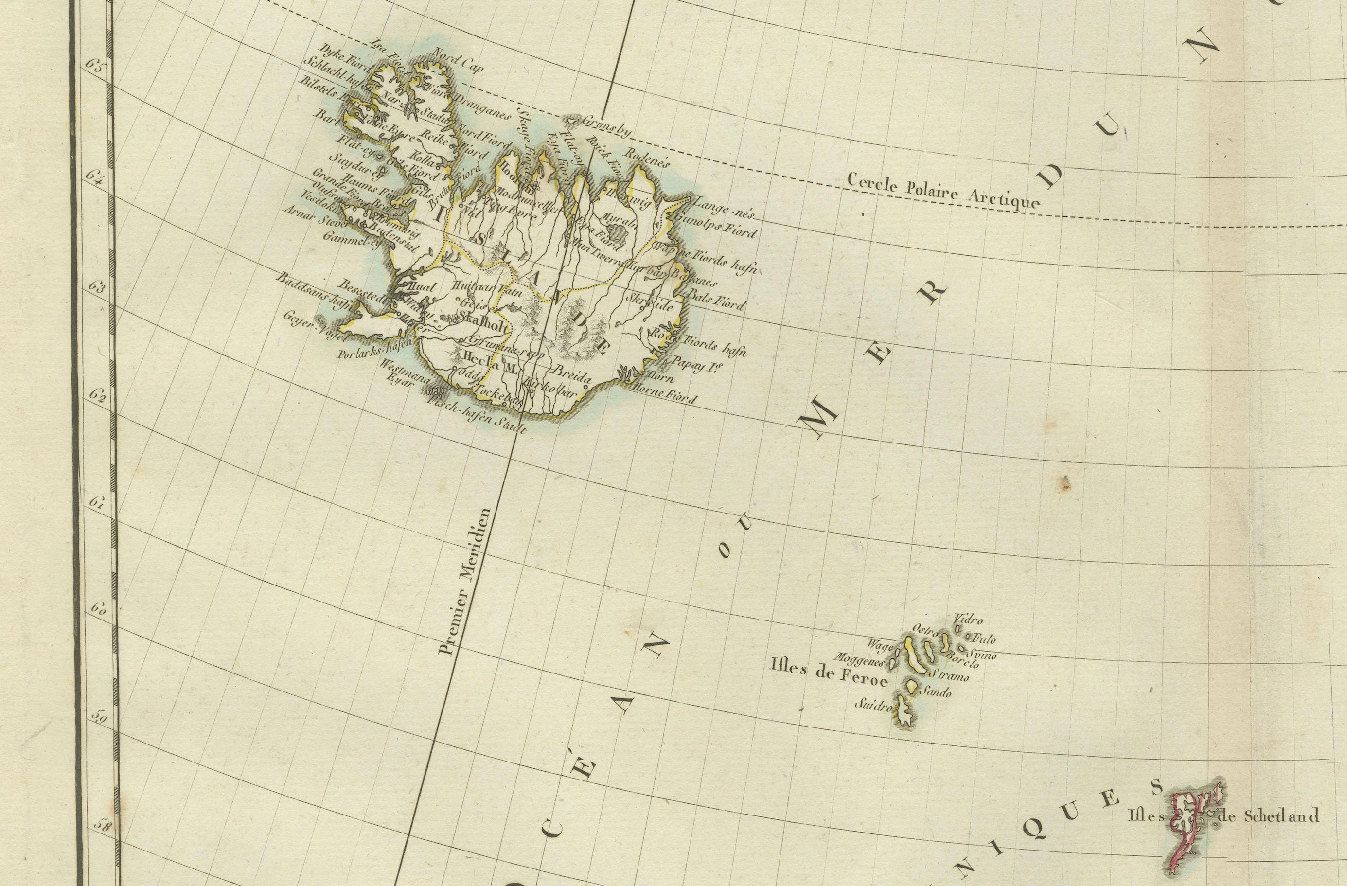
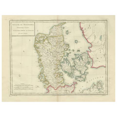
Map of Denmark, Norway & Iceland: Early 19th Century from the 1802 Tardieu Atlas
€ 480
One of a kind: this is the sheet in the photographs. Ships from Langweer, the Netherlands.
Date
1802
Sheet size
41.2 × 56.5 cm (16.2 × 22.2 in)
Condition
Good
Reference
BG-13769-7
Condition
Good condition with minor age-related wear. Hand-colored boundaries are well-preserved, enhancing the clarity of regions and features. Fold lines and edge wear are visible, with some age spots, mostly in border. Study the scans carefully.
About this sheet
Antique Map Description
Title: Royaume de Danemarck: Première Carte. Danemarck, Norwege et Islande
Publication Details:
- **Atlas Title:** Nouvel Atlas Universel de Géographie Ancienne et Moderne - **Purpose:** For the Nouvelle Edition de la Géographie de Guthrie - **Mapmakers:** P. F. Tardieu, with contributions from various geographical works - **Publisher:** Chez Hyacinthe Langlois, Libraire, quai des Augustins, n° 45 - **Year:** An X - 1802 (French Revolutionary Calendar)
Geographical Scope:
This antique map illustrates the Kingdom of Denmark, including Denmark, Norway, and Iceland, as well as parts of the British Isles and surrounding areas.
Map Features:
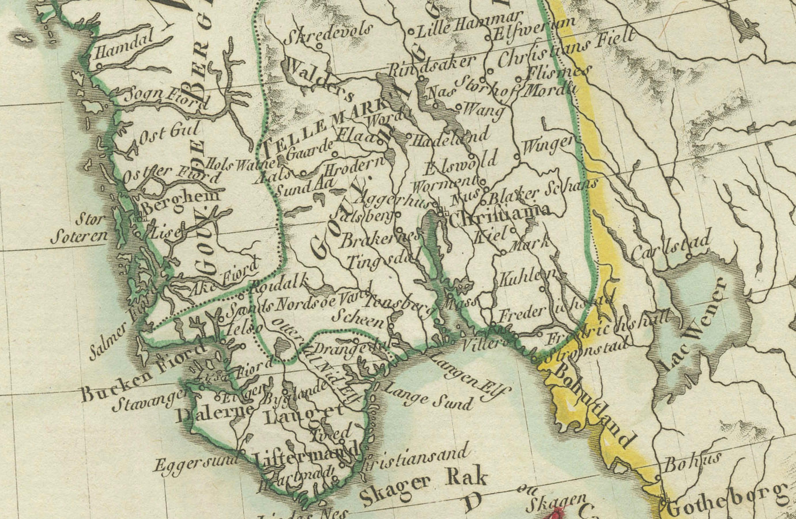
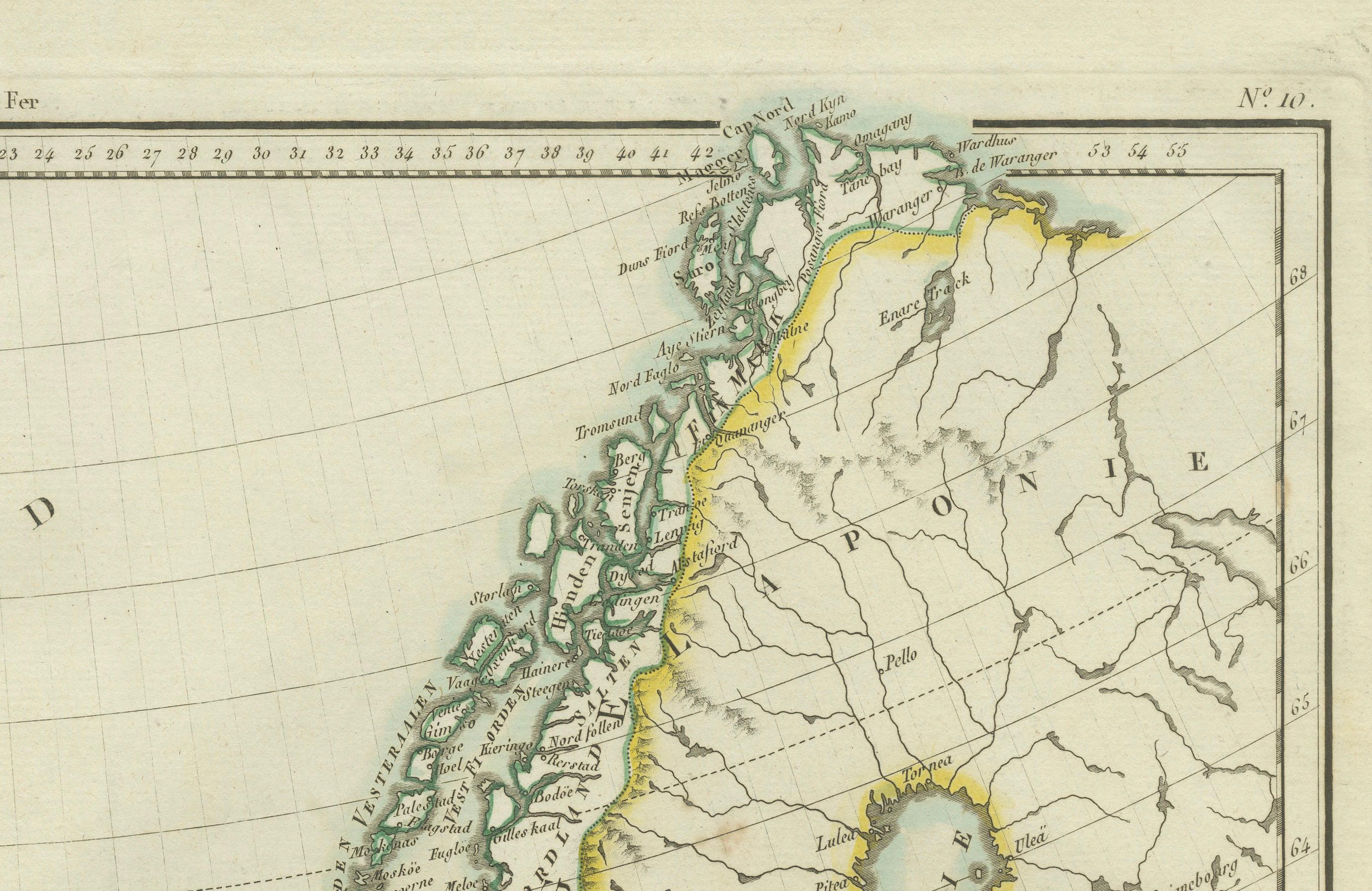
- **Regions Displayed:** Denmark, Norway, Iceland, and parts of the British Isles. - **Notable Regions and Territories:** Denmark (Danemarck), Norway (Norwege), Iceland (Islande), and parts of Scotland and the Faroe Islands. - **Seas and Bodies of Water:** North Sea (Mer du Nord), Atlantic Ocean (Ocean Atlantique), and surrounding bodies of water. - **Topographical Details:** Includes mountain ranges, rivers, and other significant geographical features as understood in the early 19th century. - **Cartographic Style:** Detailed engraving with hand-colored boundaries, emphasizing both historical accuracy and artistic presentation.
Purpose and Use:
This map serves as a detailed visual representation of the geographical and political landscape of Denmark, Norway, and Iceland, reflecting the geographical understanding and cartographic style of the early 19th century. It is part of a larger atlas that includes 60 maps, providing a comprehensive view of both ancient and modern geography as known in 1802.
Condition Report The map is in good condition with minor age-related wear. Hand-colored boundaries are well-preserved, enhancing the clarity of regions and features. Slight fold lines and edge wear are visible, with some age spots.
Coloring The hand-colored boundaries on the map highlight regions and territories, adding clarity and visual appeal, typical of early 19th-century cartographic practices.