About this sheet
Antique Map Sweden and Norway, Scandinavia, Robert de Vaugondy, 1782
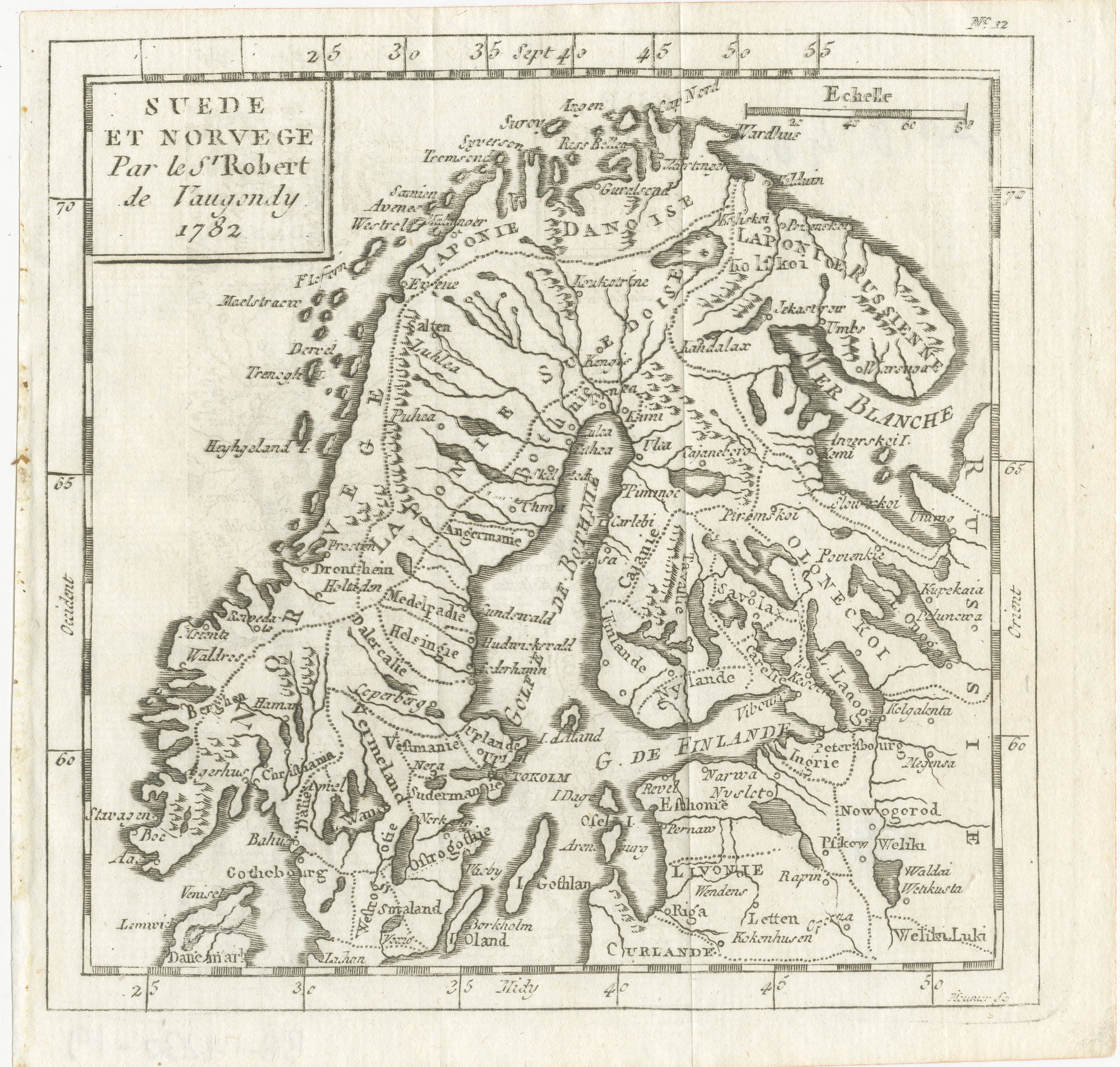
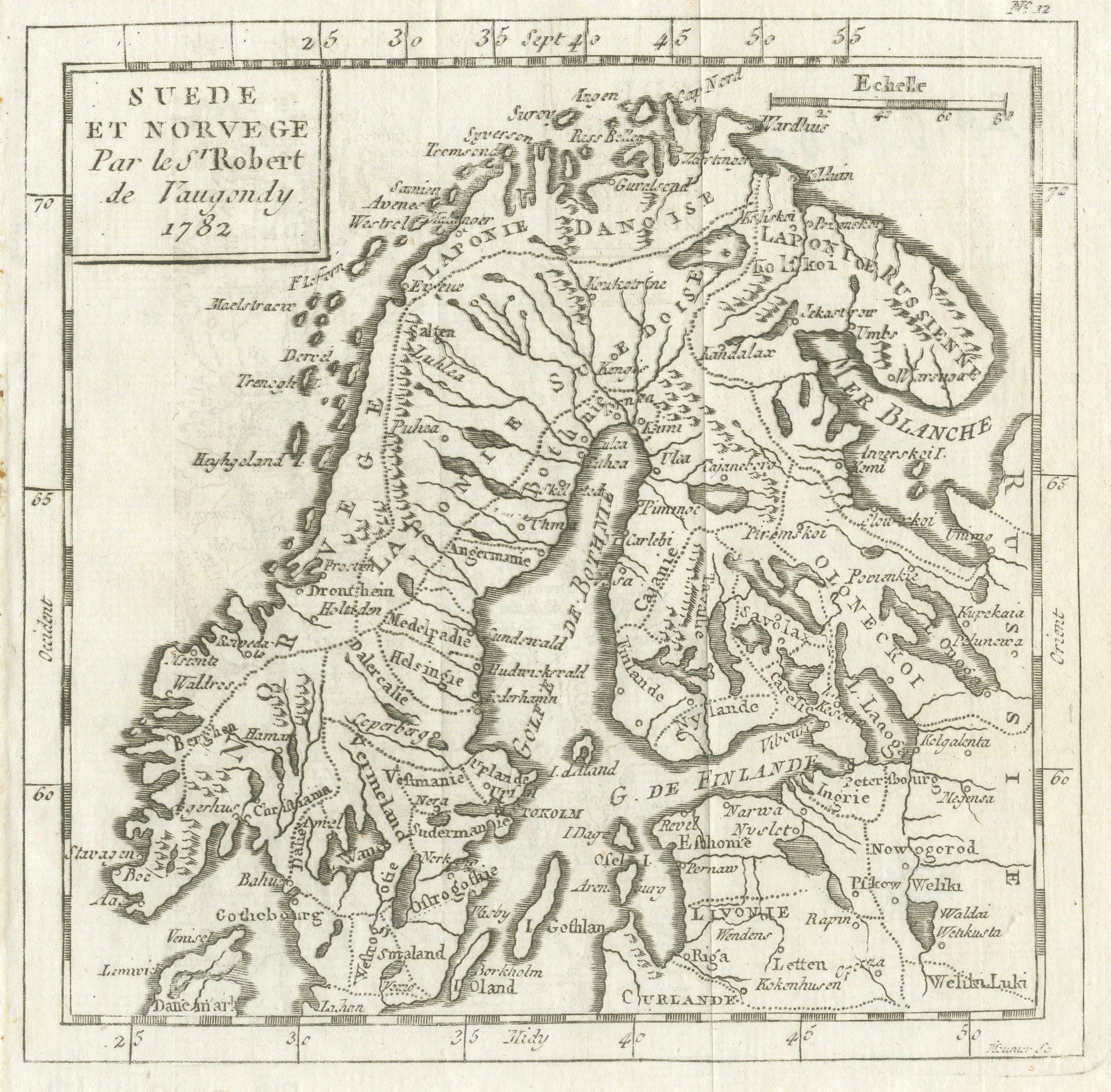
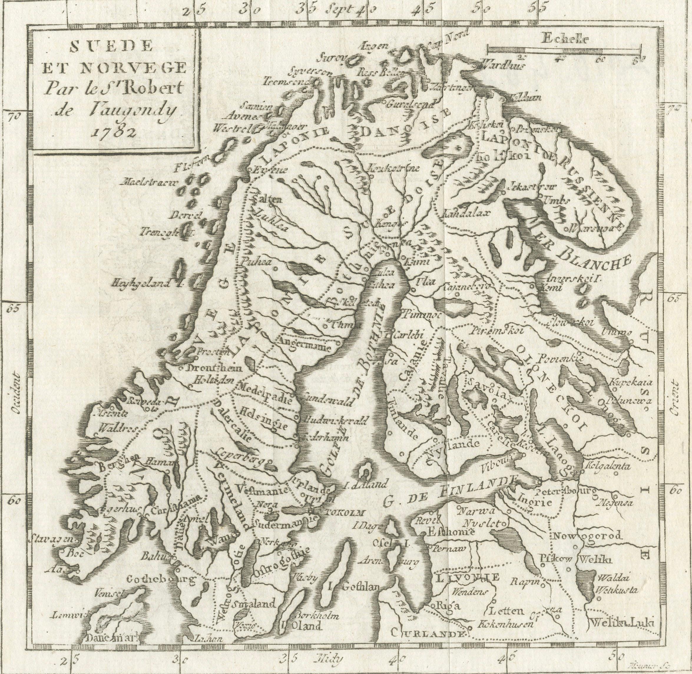
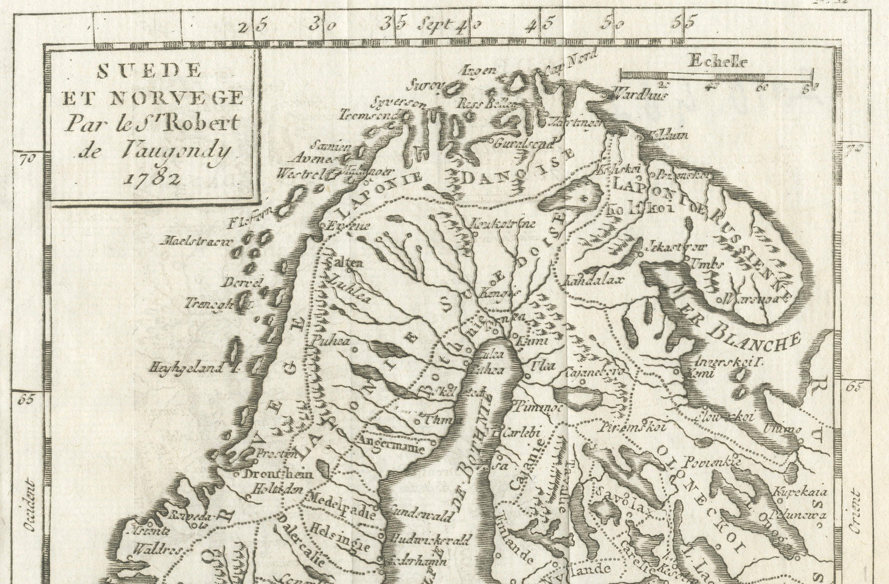
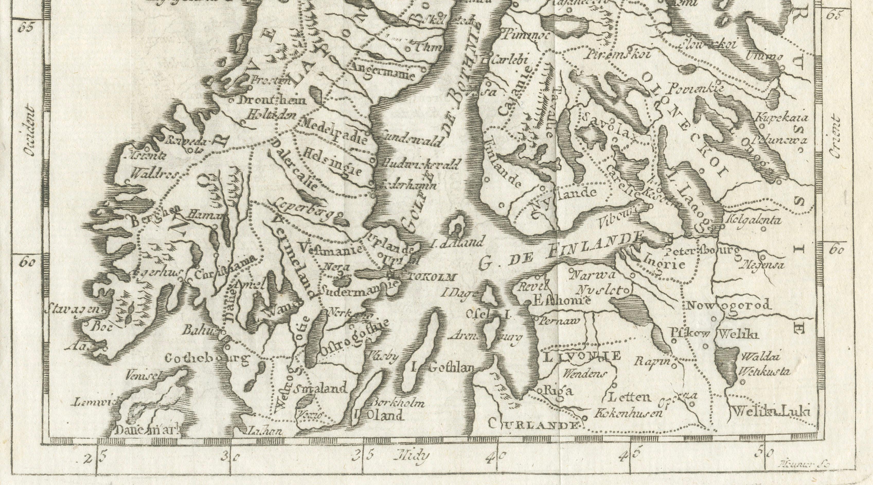
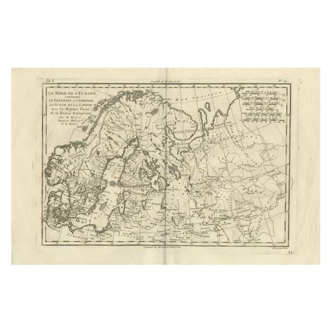
This antique copperplate engraved map titled “Suede et Norvege” presents a refined late-18th-century depiction of Scandinavia, illustrating Sweden, Norway, Finland, and adjoining Baltic and Russian territories. Issued in 1782 by the renowned French cartographer Didier Robert de Vaugondy, the map represents a later state of one of his most successful regional compositions, reflecting the growing geographic accuracy and scientific clarity characteristic of Enlightenment cartography.
Robert de Vaugondy, geographer to the King of France and among the most respected cartographers of his generation, was celebrated for synthesizing the best available geographic knowledge into clear and elegant map designs. This example demonstrates his restrained and scholarly style, emphasizing precision over ornament. Coastlines, river systems, settlements, and regional divisions are rendered with finely engraved linework, while the balanced layout provides exceptional readability and visual harmony.
The map centers on the Scandinavian peninsula, with Norway’s dramatic coastline and Sweden’s inland geography carefully delineated. Finland, the Gulf of Bothnia, the Gulf of Finland, and parts of western Russia appear to the east, reflecting the geopolitical understanding of Northern Europe in the late 18th century. Unlike earlier colored examples, this impression remains uncolored, allowing the quality of the engraving itself to take prominence and appealing particularly to collectors who appreciate the purity of the original printed state.
Printed on laid paper from a copperplate, the sheet displays the crisp impression typical of Parisian engraving workshops of the period. The absence of later hand coloring gives the map a refined monochrome aesthetic well suited to both traditional and modern interiors, while also offering collectors the flexibility to frame according to personal taste.
Maps by Robert de Vaugondy remain highly sought after for their historical importance, decorative elegance, and association with the golden age of French cartography. This example provides a sophisticated representation of Scandinavia during a period of expanding geographic knowledge and Enlightenment scholarship.
Condition: Good condition consistent with age. General age-related toning and light surface wear. Original centerfold visible as issued, with minor marginal wear and faint handling marks. The engraving remains clear and well preserved. Please study images carefully.
Framing tips: This small map is offered unframed, allowing the buyer complete freedom to select framing that suits their interior or collection style. It displays particularly well in either a classic walnut frame with an ivory mat or a minimalist gallery presentation.
Technique: Copperplate engraving
Maker: Didier Robert de Vaugondy, Paris, 1782