Original antique · The actual sheet photographed · Certificate of authenticity on request · Sold unframed · Worldwide shipping from € 15 (rates)
Date
1725
Sheet size
38 × 49 cm (15.0 × 19.3 in)
Condition
Good
Reference
PCT-21541
What the condition grades mean
Excellent
Bright and clean, with no faults worth mentioning.
Very good
Only light signs of age, such as faint toning.
Good
Normal signs of age for a sheet of this period: toning, some foxing, small marks or neat old repairs.
Fair
Clear faults such as staining, tears or repairs, priced to match.
Every fault we see is written in the condition note, and the whole sheet is shown uncropped in the photos.
Condition
General age related toning and occasional light staining from handling. Paper edge uncut and thus irregular and with occasional small tears. Please review the images for further condition details.
About this sheet
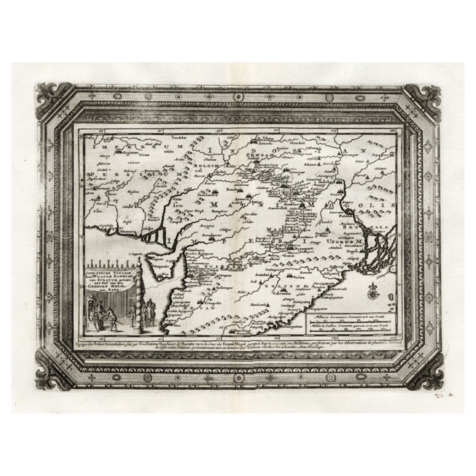
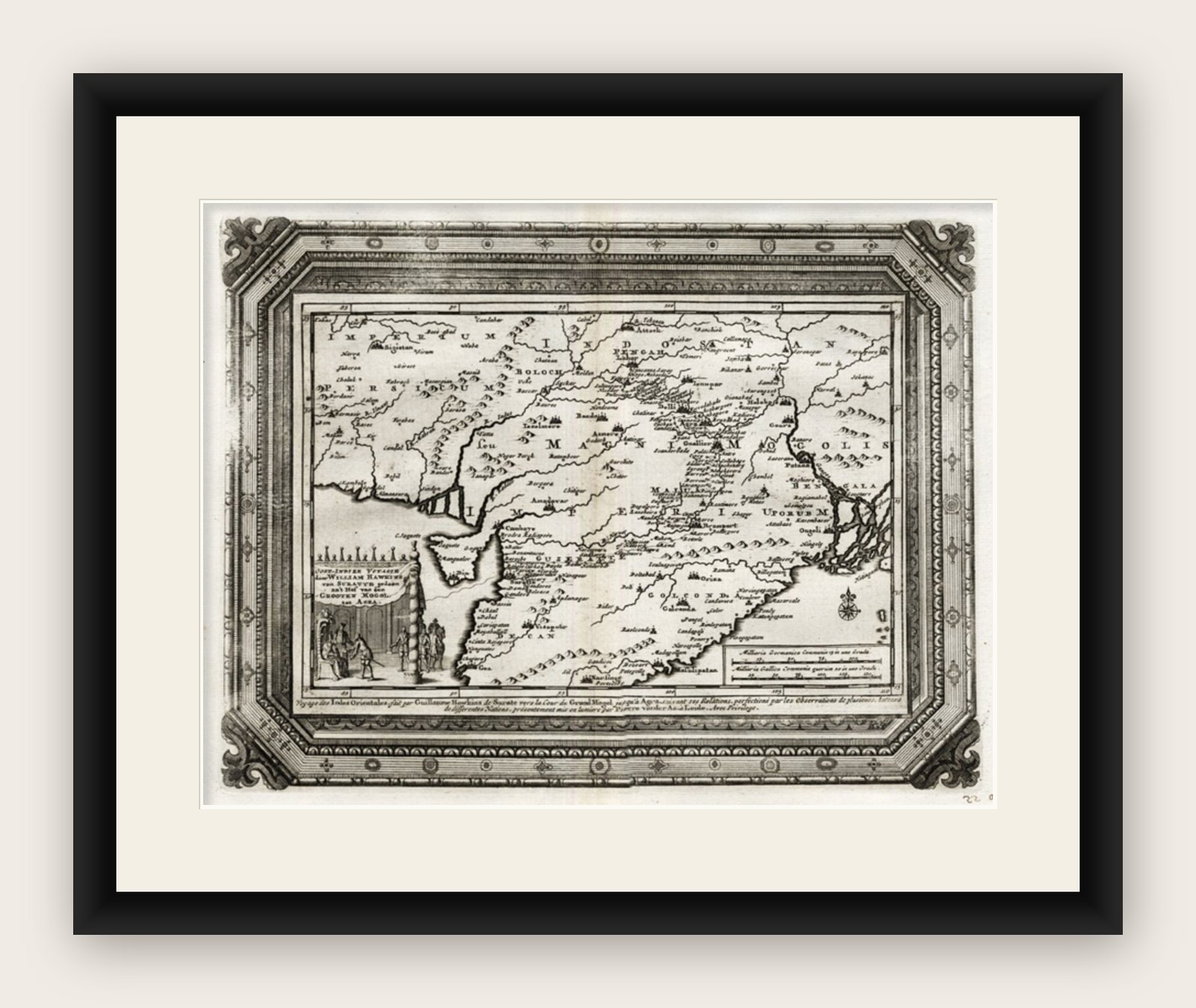
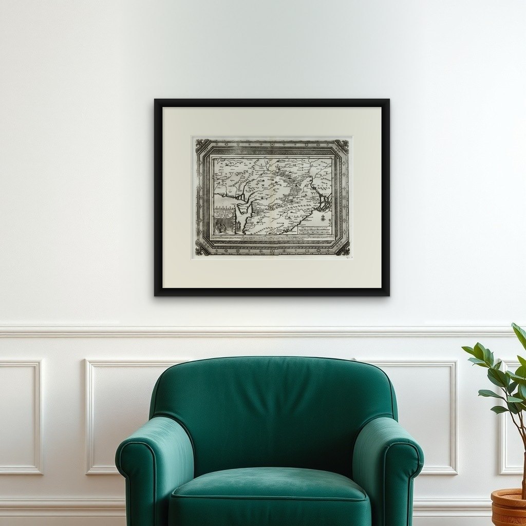
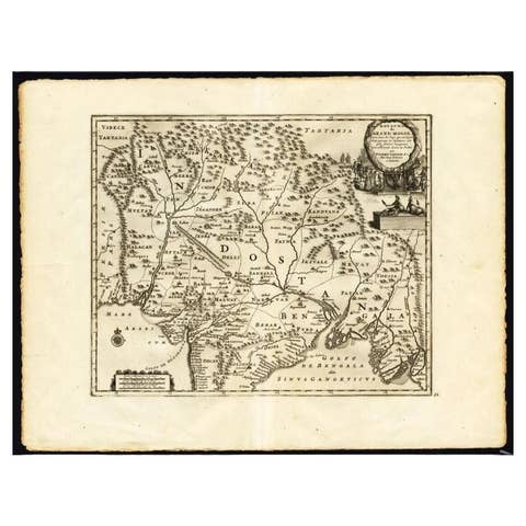
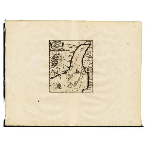
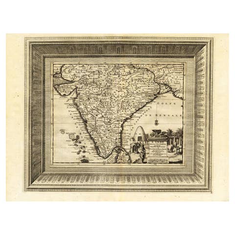
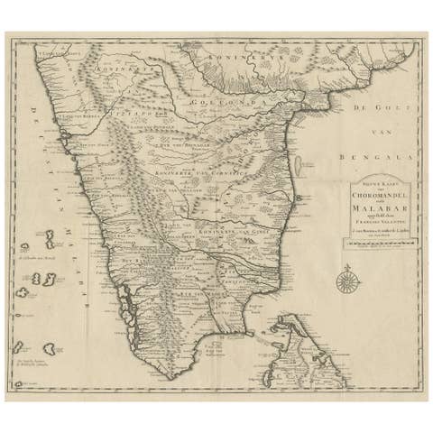
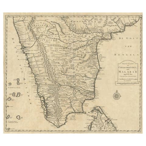
Antique map titled 'Oost-Indize Voyagie door William Hawkins van Suratte gedaan na 't Hof van den Grooten Mogol tot Agra. - Voyage des Indes Orientales fait par Guillaume Hawkins de Surate vers le Cour du Grand Mogol jesqu'a Agra (..).'
This map shows the extend of the Mughal Empire, which includes Pakistan, northern India, from Golconda to Afghanistan and eastwards to Bengal and the Ganges river. Decorative cartouche with VOC merchants at court. Extremely rare in this edition.
This plate originates from the very scarse: 'La galerie agreable du monde (...).Tome premier des Indes Orientales.', published by P. van der Aa, Leyden, c. 1725. This famous work was published in 66 parts and is the biggest print / map book ever published. Van der Aa incorporated plates by other publishers such as Blaeu, Visscher, de Wit, meurs, Halma, Mortier, Allard in this work and often added broad decorative borders. Probably the costliest and complete universal geographic work ever produced. It is said that only 100 copies were printed. Ref: Koeman Aa9; Phillips 2780 note. This plate was originally published a Dutch translation of a travel narrative. Van der Aa published 130 translations of important 15th, 16th and 17th Century Travel Narratives to the America, Africa and Asia, which were issued in 28 volumes in the early part of the 18th Century. Many of them are extremely scarse or unobtainable. The decorative borders were added and are typical for this edition.
Artists and Engravers: Pieter van der Aa (Leiden 1659-1733) was a Dutch publisher best known for preparing maps and atlases. The Galerie Agreable contains plates and maps by the best Dutch engravers: Luiken, Goeree, Mulder, Stoopendaal, de Hooghe, ao.