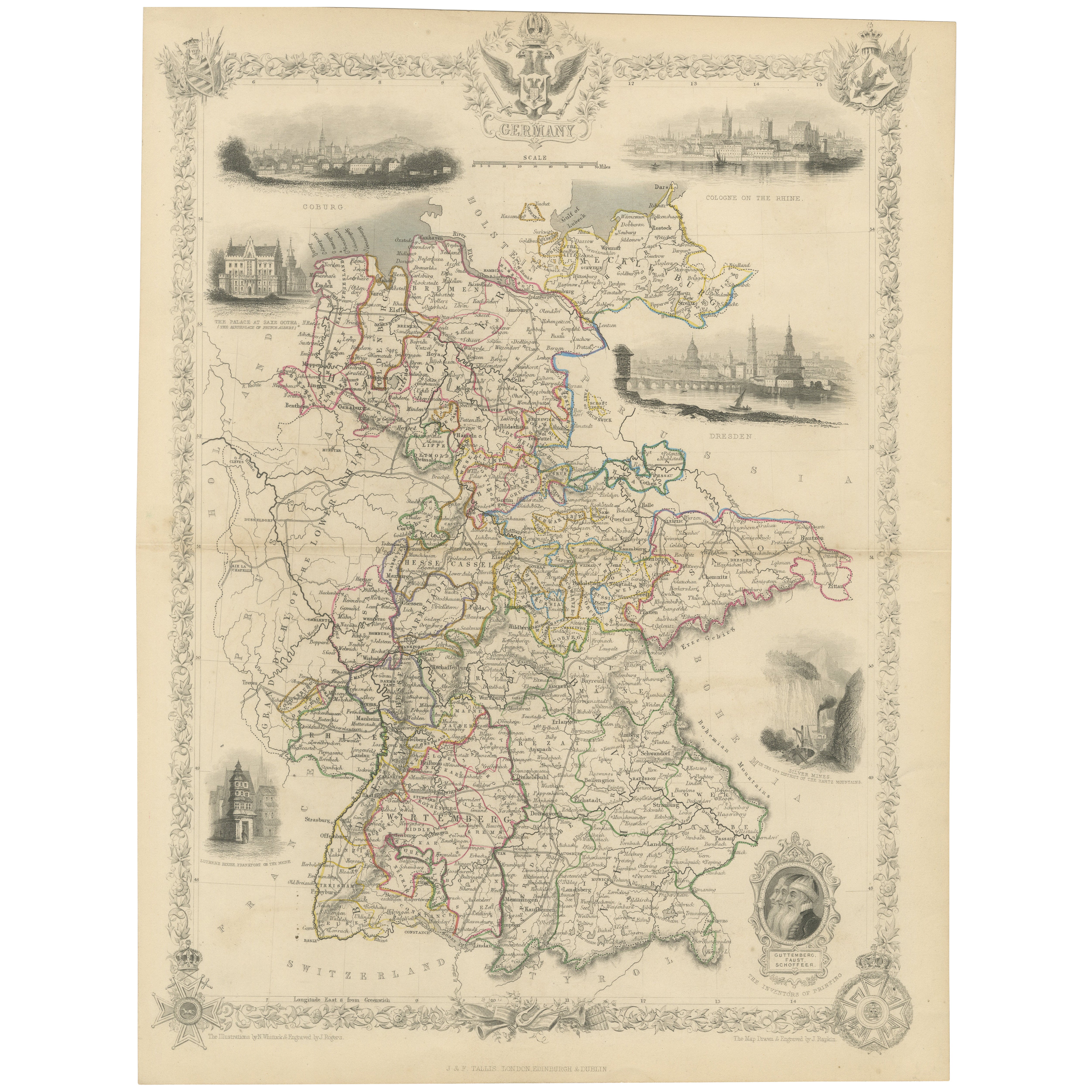
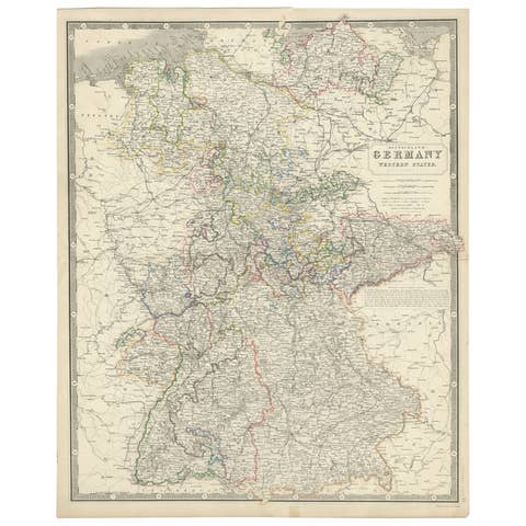
Ornate Hand-Colored Map of Germany by John Tallis with Vignettes, ca. 1850
€ 240
One of a kind: this is the sheet in the photographs. Ships from Langweer, the Netherlands.
Date
1850
Sheet size
35.2 × 26.5 cm (13.9 × 10.4 in)
Condition
Good
Reference
BG-13842-5
Condition
Slight toning and minor foxing visible, especially around the folding line. The colors are well-preserved, and the paper remains in good condition with a crisp impression, making this map a fine example of 19th-century cartographic art.
About this sheet
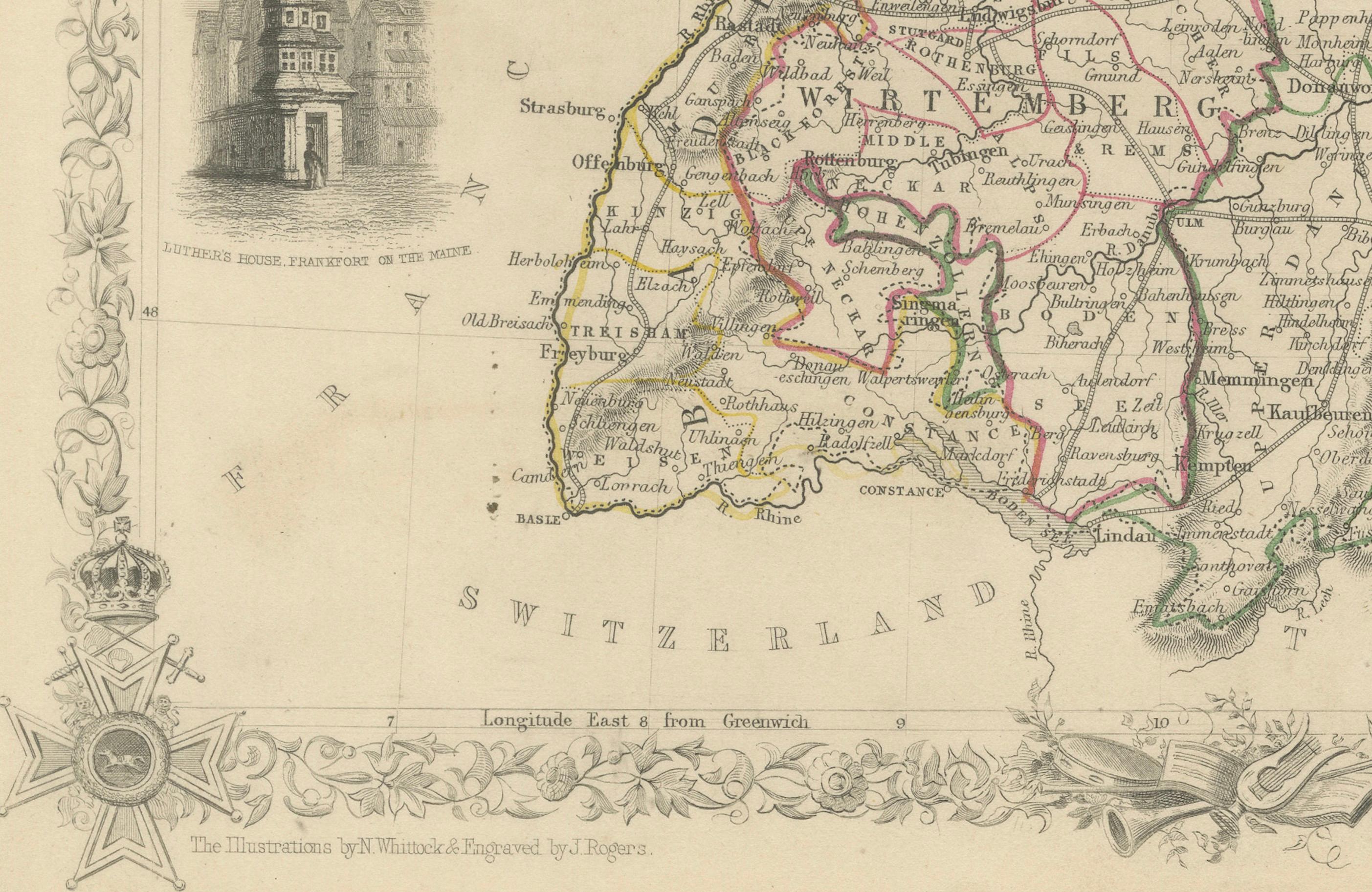
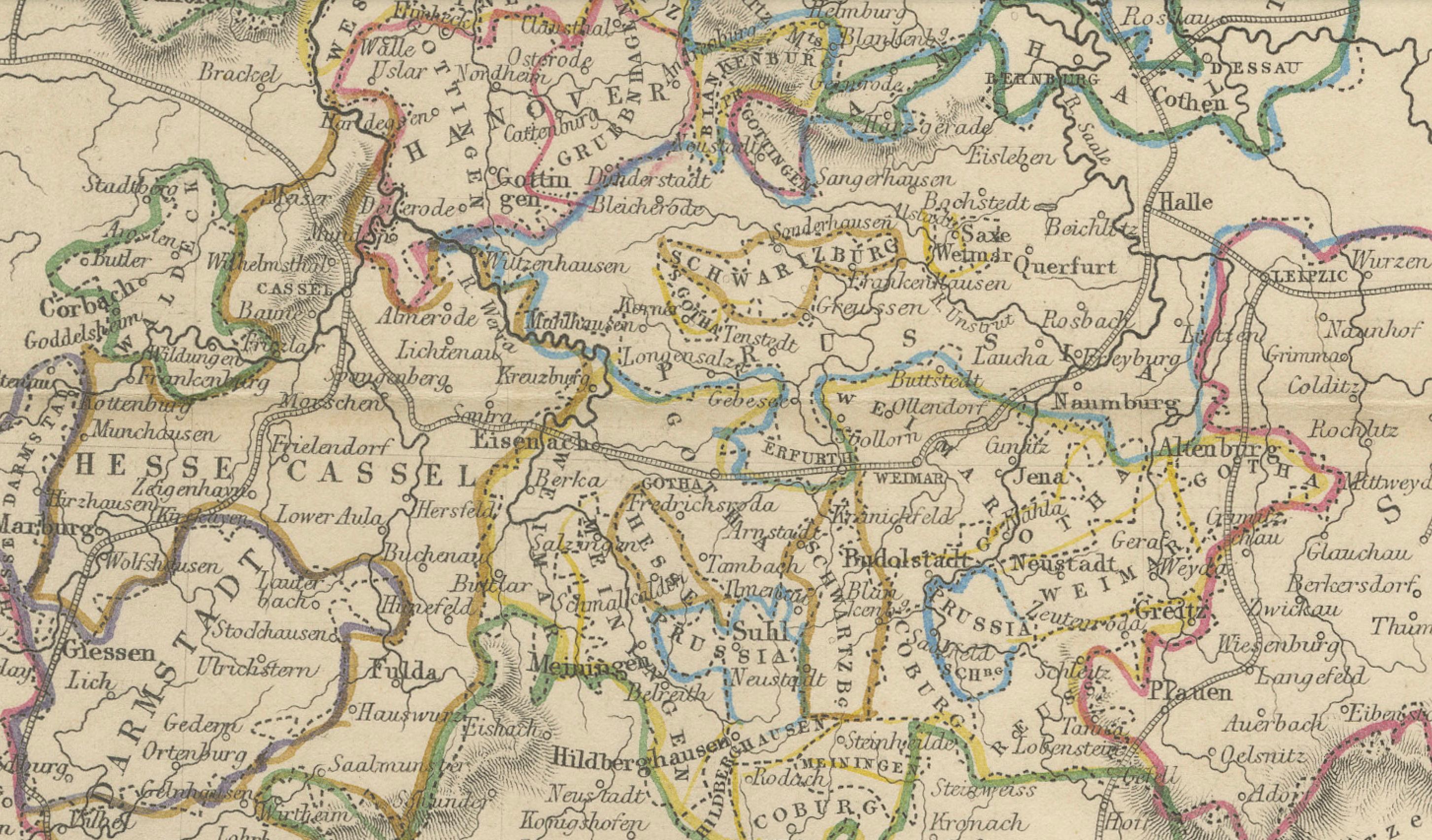
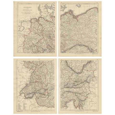
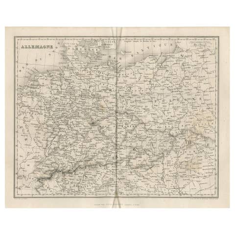
This beautifully hand-colored map of Germany, published by John Tallis & Co. around 1850, provides a comprehensive depiction of Germany's political divisions during the mid-19th century. The map is intricately engraved with notable regions outlined in different colors to distinguish political boundaries. Rich in detail, it highlights major cities, towns, and geographical features throughout the country.
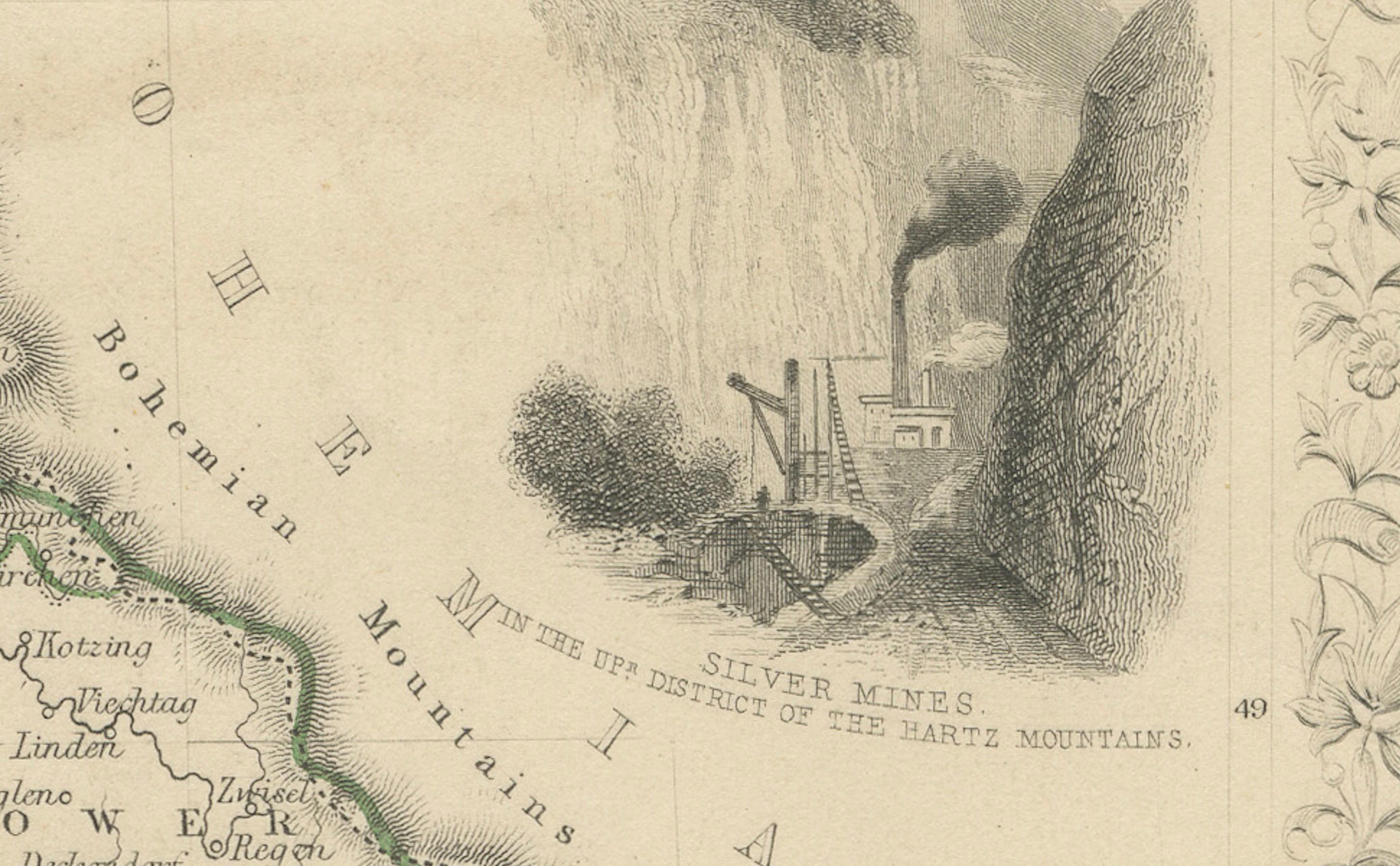
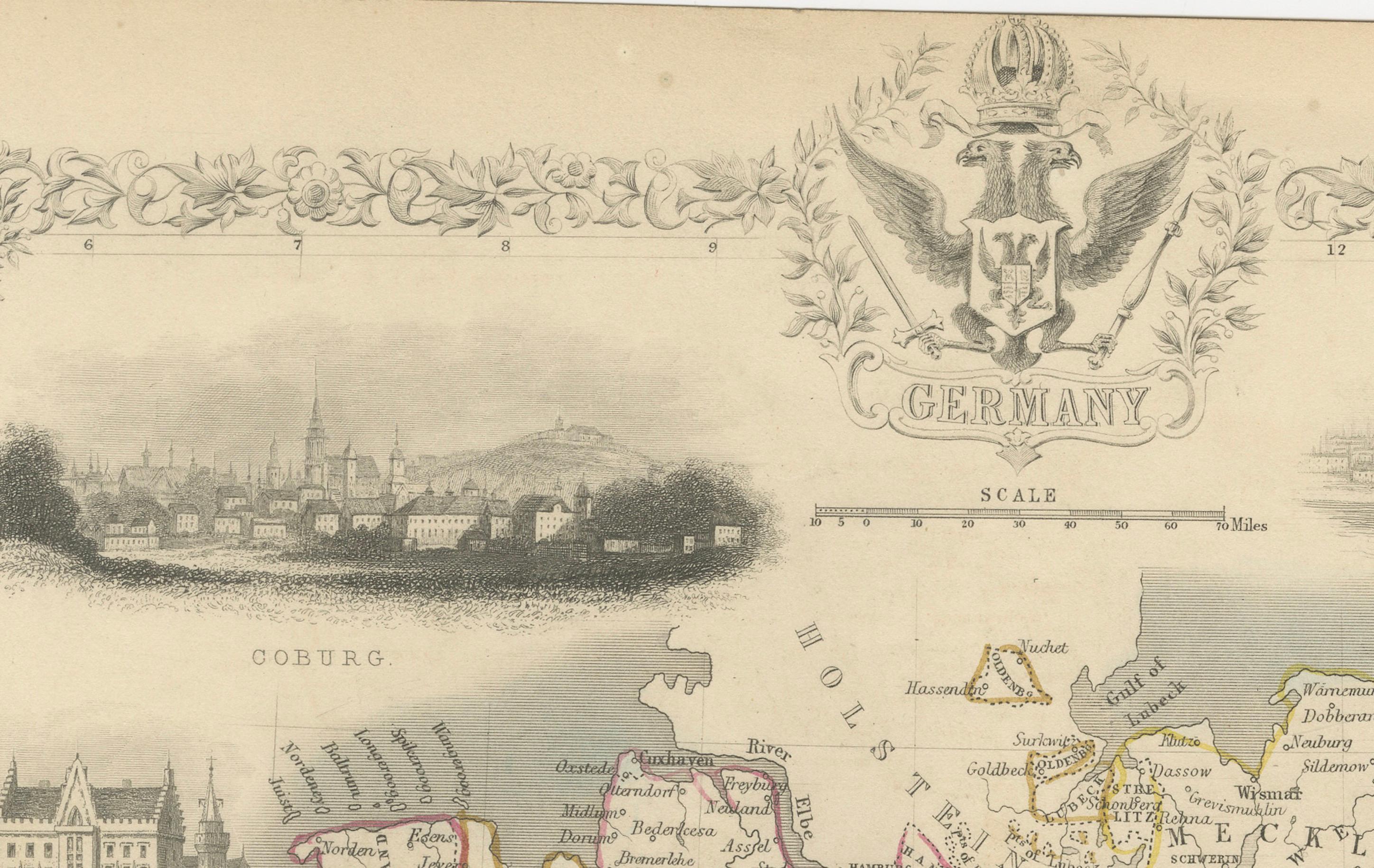
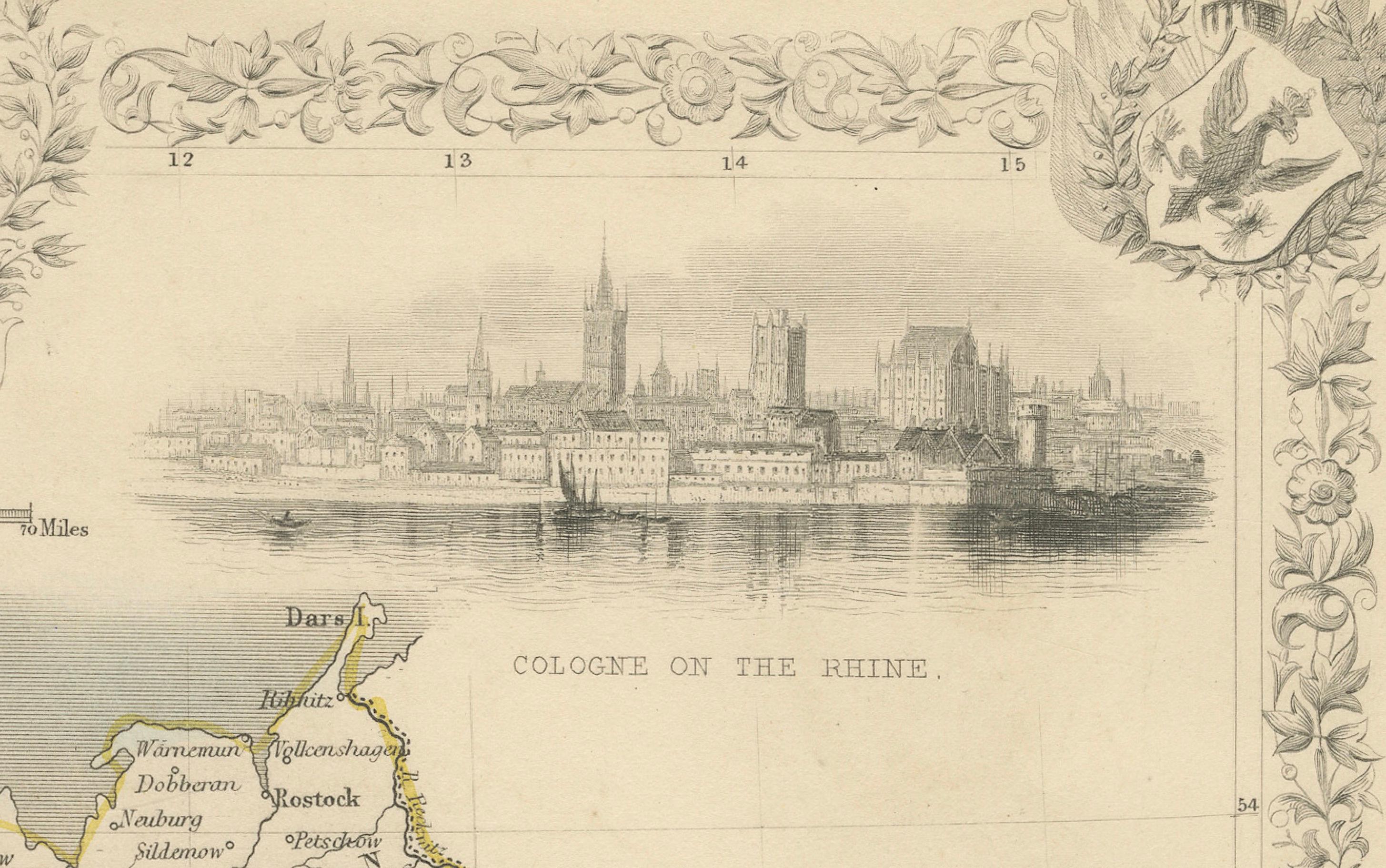
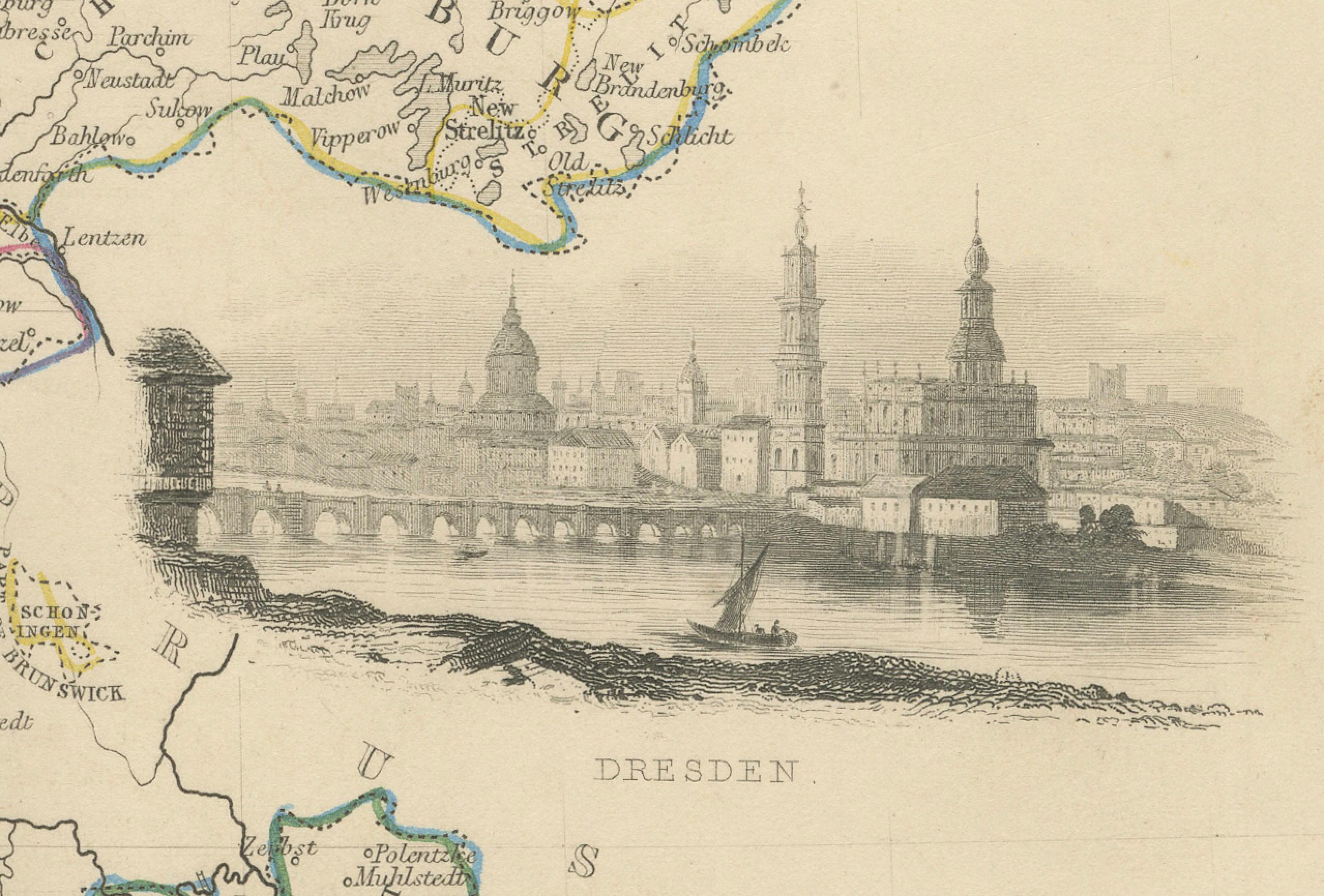
The map features decorative vignettes of key German landmarks and cities, including views of Cologne on the Rhine, Dresden, Coburg, and the Palace of the Grand Dukes in Mecklenburg Schwerin. An engraved portrait of Frederick the Great is also included, adding a historical dimension to the map. The border is adorned with elaborate floral and emblematic motifs, contributing to its artistic value.
John Tallis & Co. was known for producing highly decorative and visually engaging maps during the 19th century, often with elaborate embellishments and illustrations that made the maps both informative and attractive.
Condition report: Slight toning and minor foxing visible, especially in the margins. The colors are well-preserved, and the paper remains in good condition with a crisp impression, making this map a fine example of 19th-century cartographic art.