Hand-Colored City Plan of Cologne by Nicolas de Fer, 1705
€ 340
One of a kind: this is the sheet in the photographs. Ships from Langweer, the Netherlands.
Date
1705
Sheet size
27.3 × 40.8 cm (10.7 × 16.1 in)
Condition
Good
Reference
BG-13842-6
Condition
Condition report: Minor toning along edges, slight foxing present. The colors remain vibrant, and the paper is well-preserved with crisp details, contributing to the overall appeal of this antique map.
About this sheet
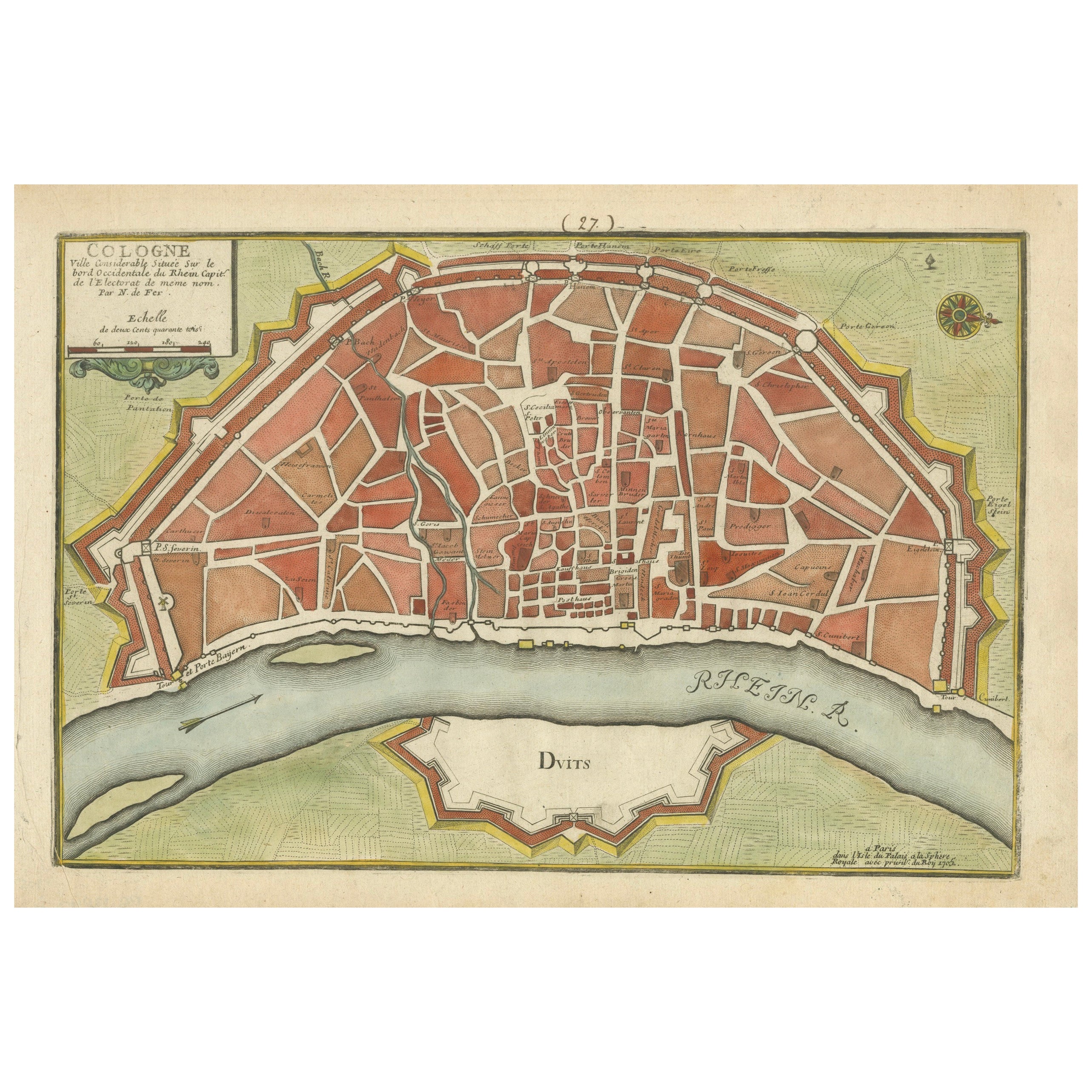
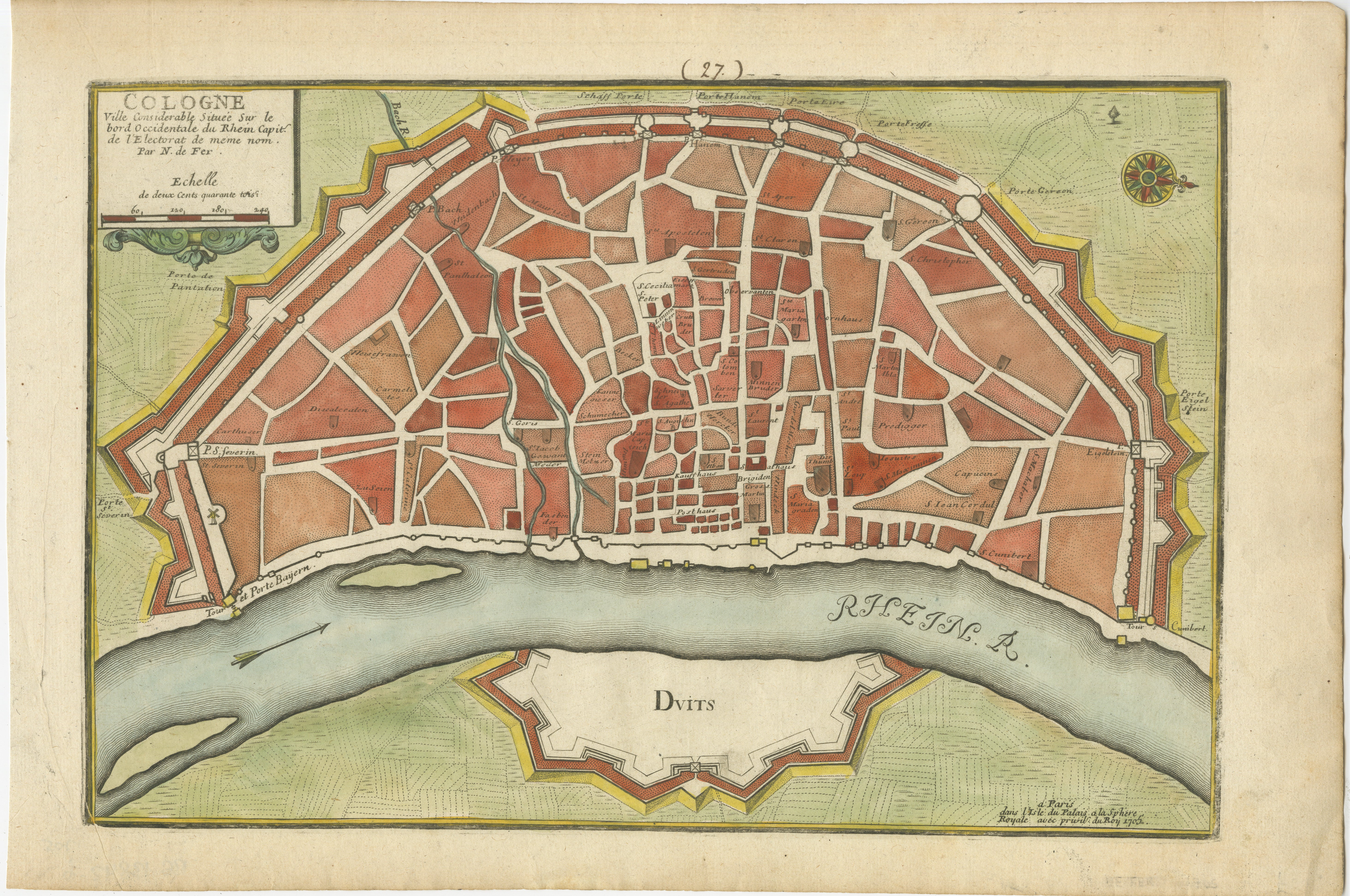
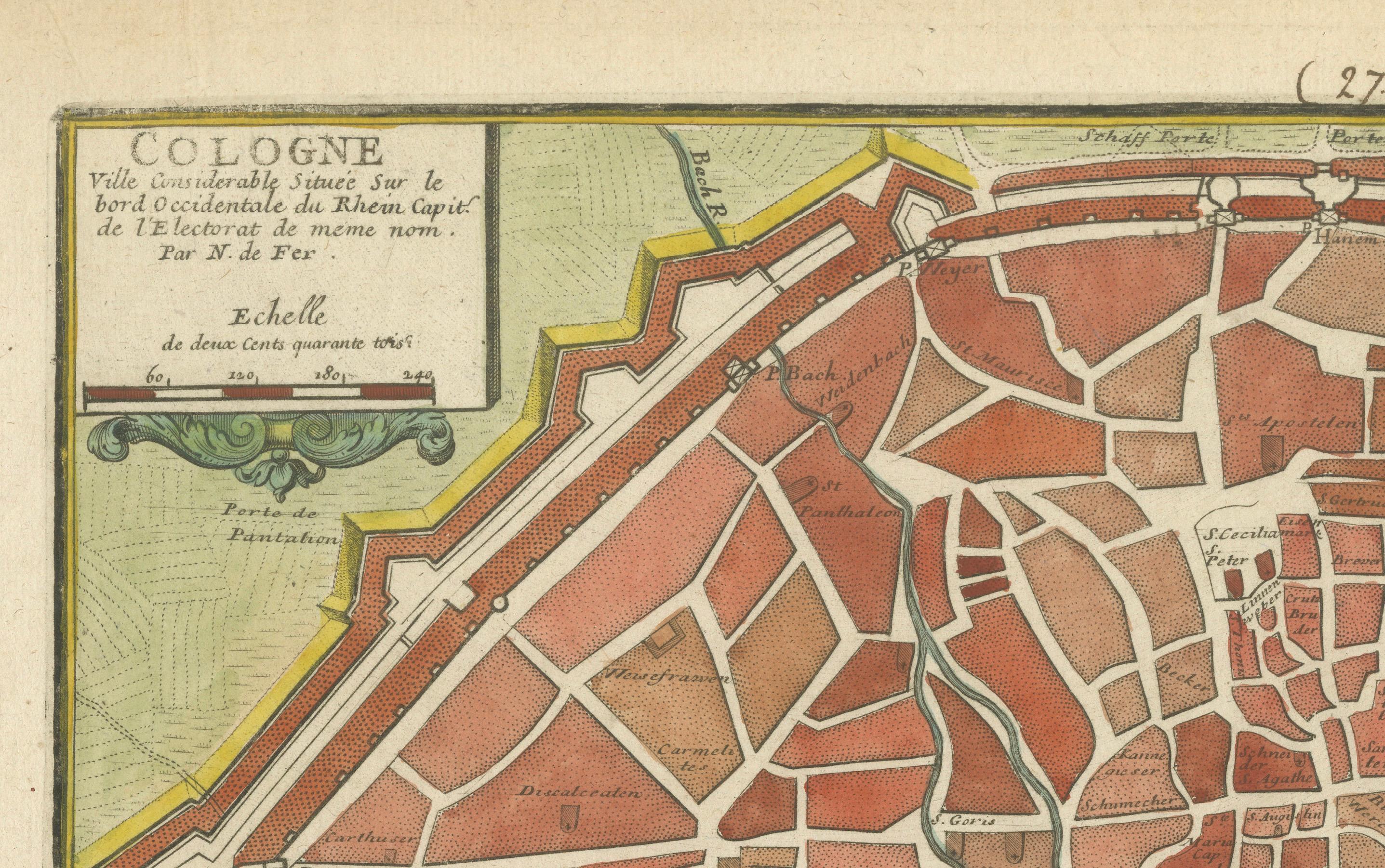
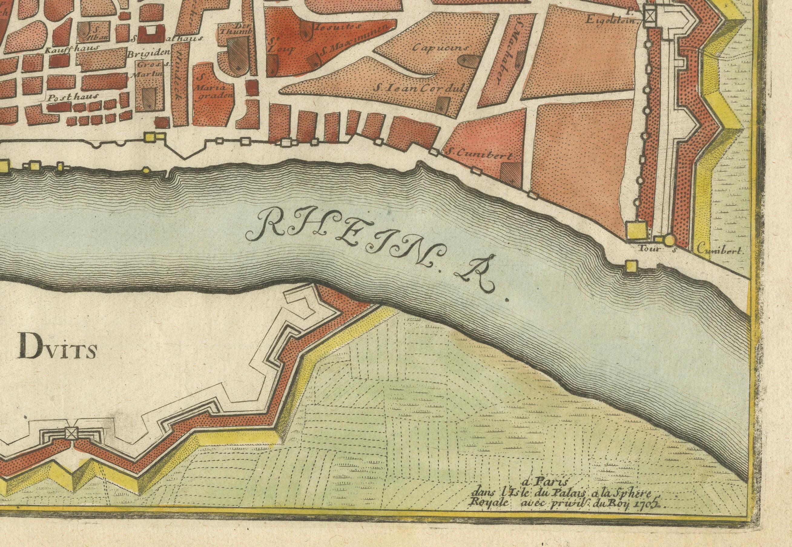
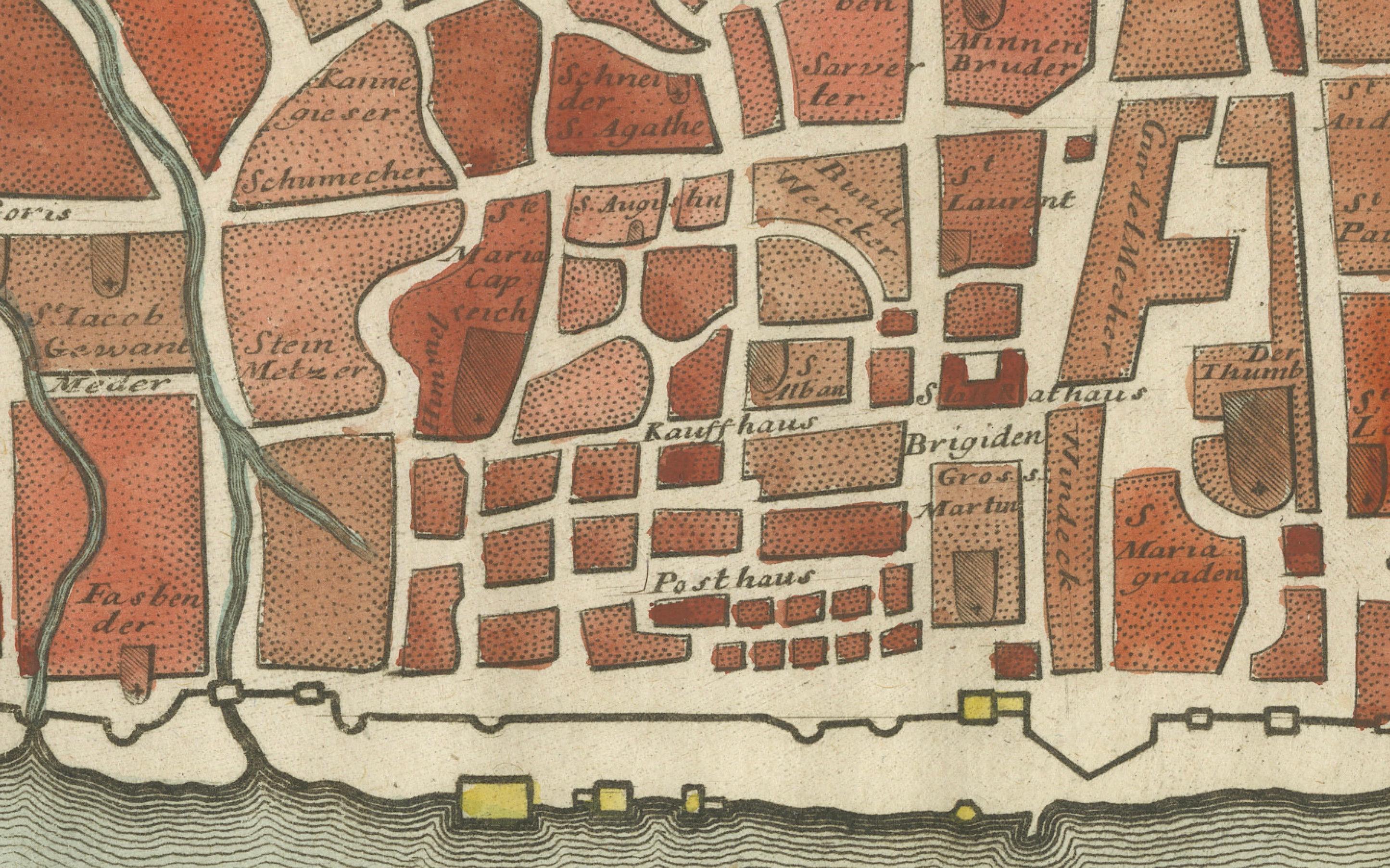
This hand-colored map, titled "Cologne Ville Considerable Situee sur le Bord Occidentale du Rhein Capit. de l'Electorat de Meme Nom," was created by Nicolas de Fer in 1705. It is a detailed city and fortification plan of Cologne, Germany, depicting its position on the western bank of the Rhine River. The map illustrates Cologne's street layout, major buildings, and fortifications, giving a thorough view of the city's structure during the early 18th century.
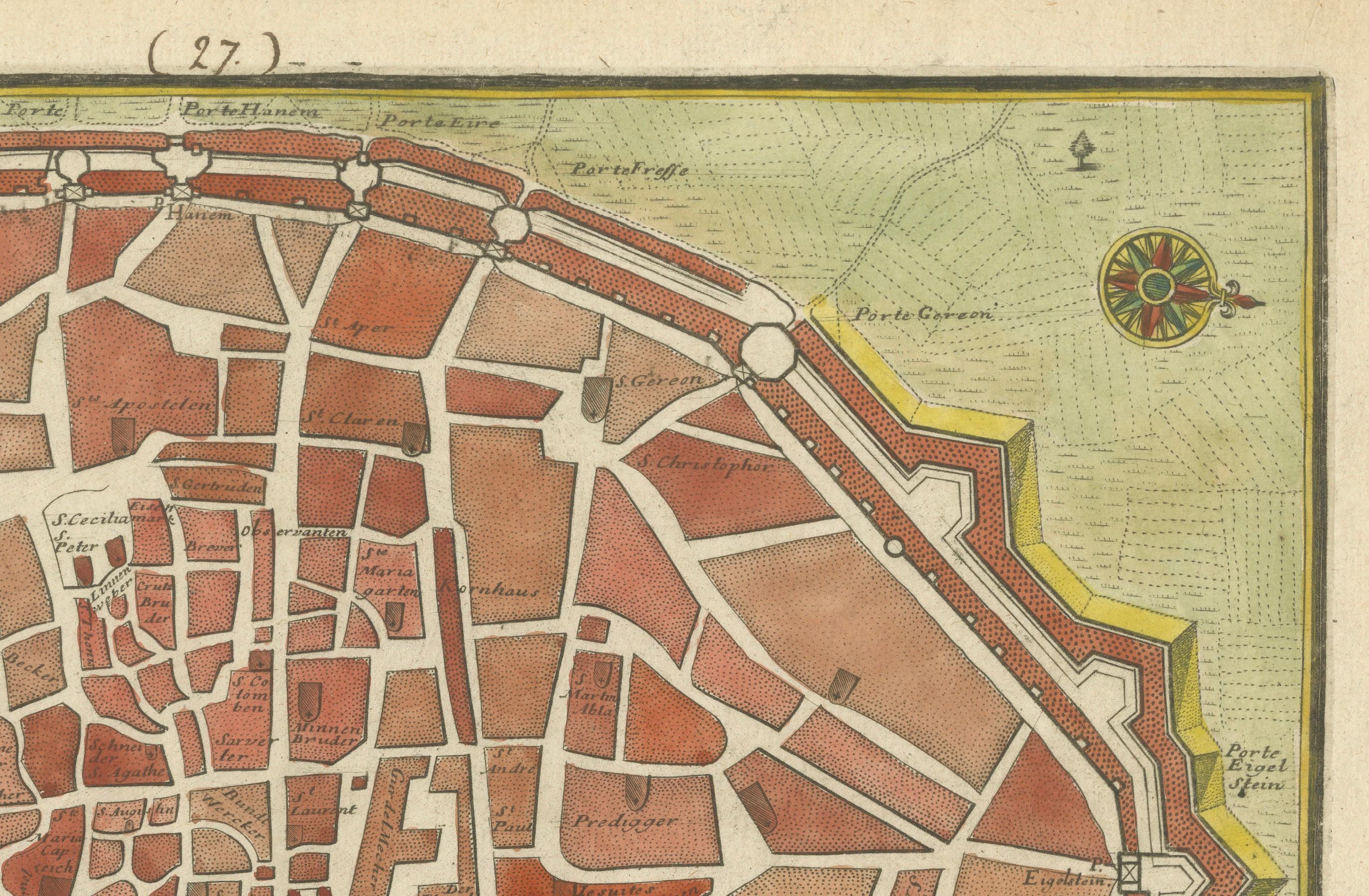
The map is adorned with a decorative title cartouche and a compass rose that orients the map with north positioned to the right. This cartographic detail not only provides practical navigation insight but also enhances the visual charm of the map. The detailed representation of churches, streets, and defensive structures offers a valuable glimpse into Cologne’s urban and defensive planning of that era.
The use of hand-coloring highlights the different areas and fortifications, enhancing the legibility and overall aesthetic appeal of the map. This historical representation by Nicolas de Fer captures the essence of Cologne as a prominent city in the Holy Roman Empire during the early 1700s.
Condition report: Minor toning along edges, slight foxing present. The colors remain vibrant, and the paper is well-preserved with crisp details, contributing to the overall appeal of this antique map.