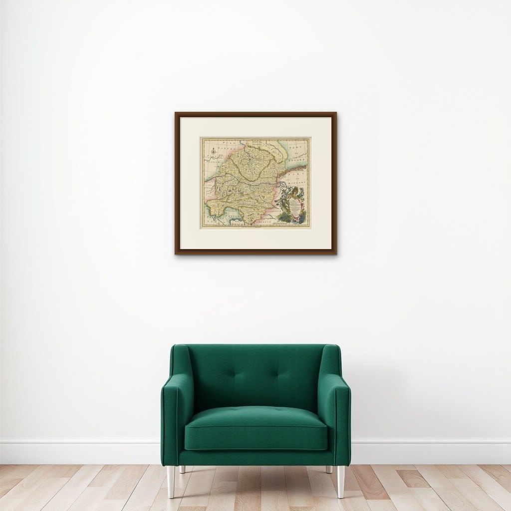
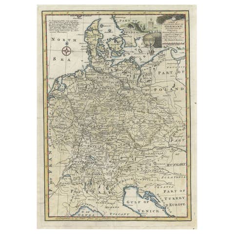
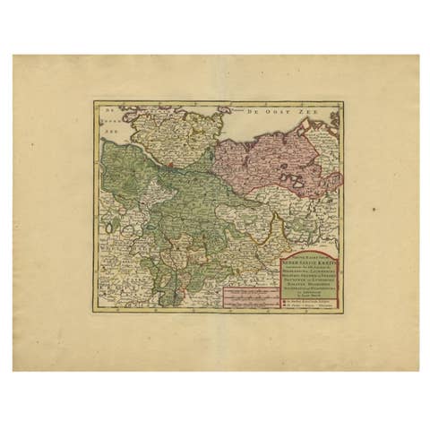
A Stunning 1744 Bowen Map: South East Germany & Queen of Hungary’s Dominions
€ 490
Original antique · The actual sheet photographed · Certificate of authenticity on request · Sold unframed · Worldwide shipping from € 15 (rates)
Date
1744
Sheet size
41 × 53 cm (16.1 × 20.9 in)
Condition
Good
Reference
BG-13842-17
What the condition grades mean
Excellent
Bright and clean, with no faults worth mentioning.
Very good
Only light signs of age, such as faint toning.
Good
Normal signs of age for a sheet of this period: toning, some foxing, small marks or neat old repairs.
Fair
Clear faults such as staining, tears or repairs, priced to match.
Every fault we see is written in the condition note, and the whole sheet is shown uncropped in the photos.
Condition
Condition report: The map is in very good condition, with vibrant original hand-coloring. Some minor toning consistent with age is present along the margins. A few vertical folding lines as issued.
About this sheet
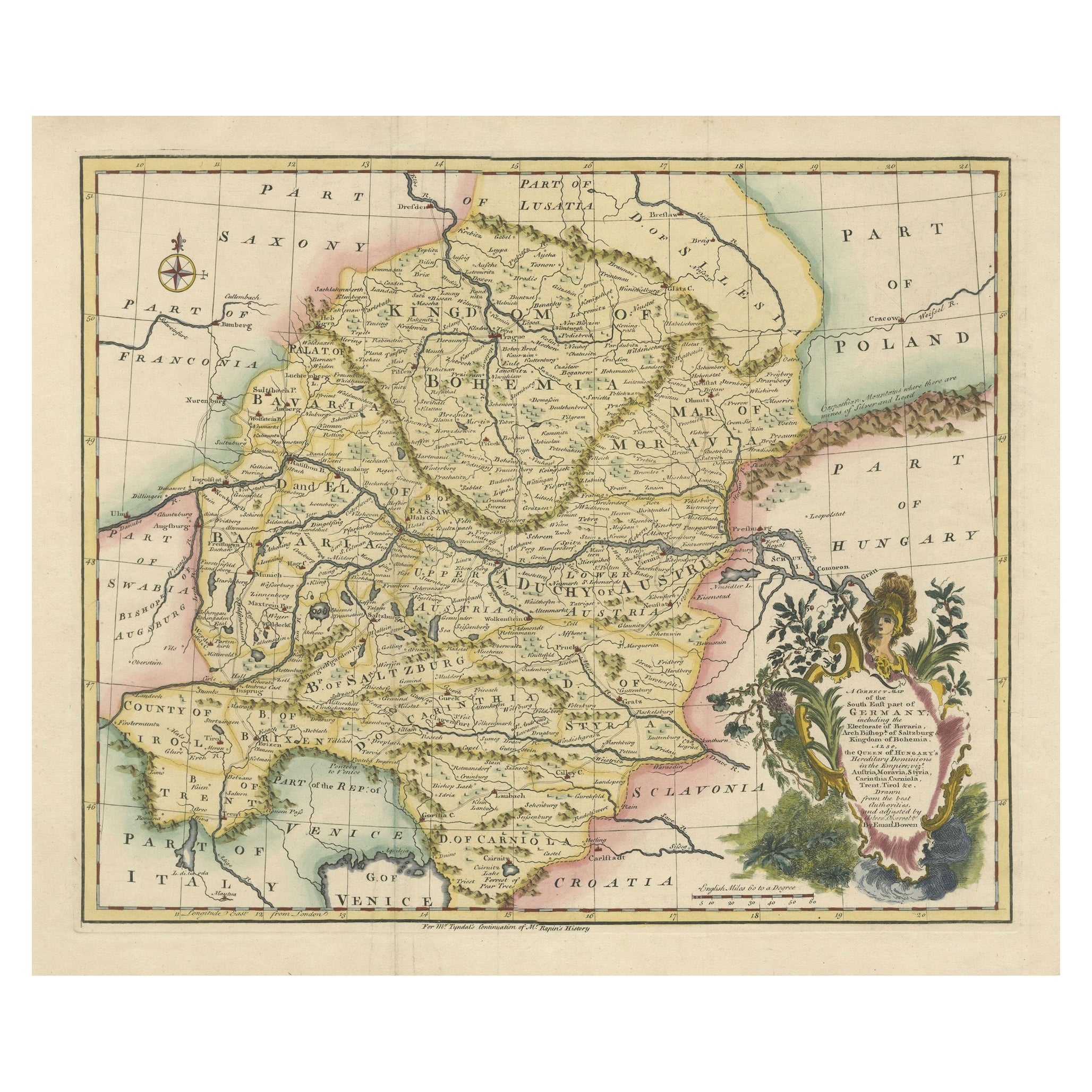
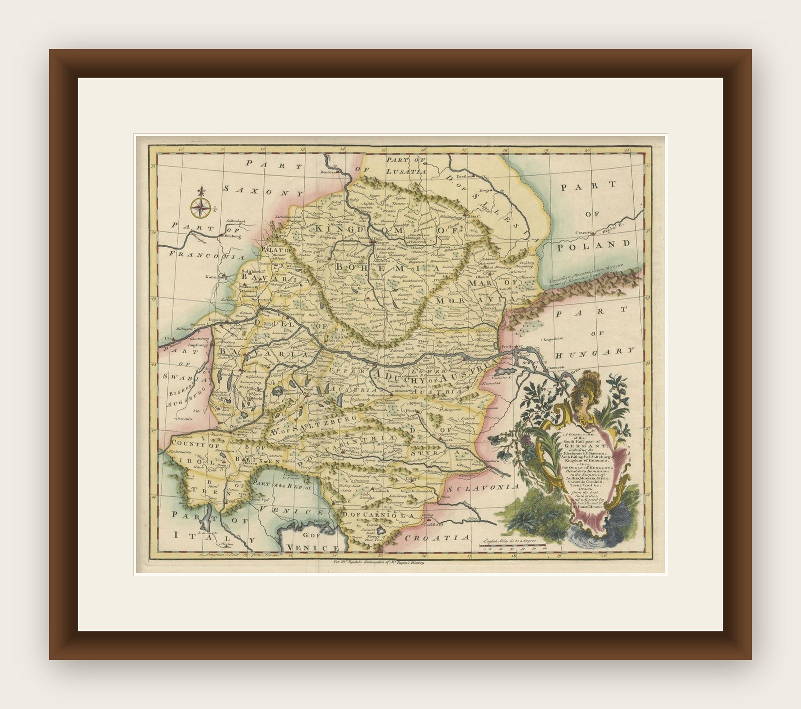
This map by Emanuel Bowen, dating to around 1744, beautifully captures the southeastern part of Germany. The detailed hand-colored map spans from the Gulf of Venice in the south, Swabia in the west, Bohemia in the north, and extends to the territories of Poland and Hungary in the east. Bowen, a renowned English engraver and cartographer, created this map during an era when territorial disputes and shifting borders were common throughout Europe. The Queen of Hungary's hereditary dominions are prominently marked, reflecting the territorial extent of the Habsburg monarchy during the period of Maria Theresa's reign.
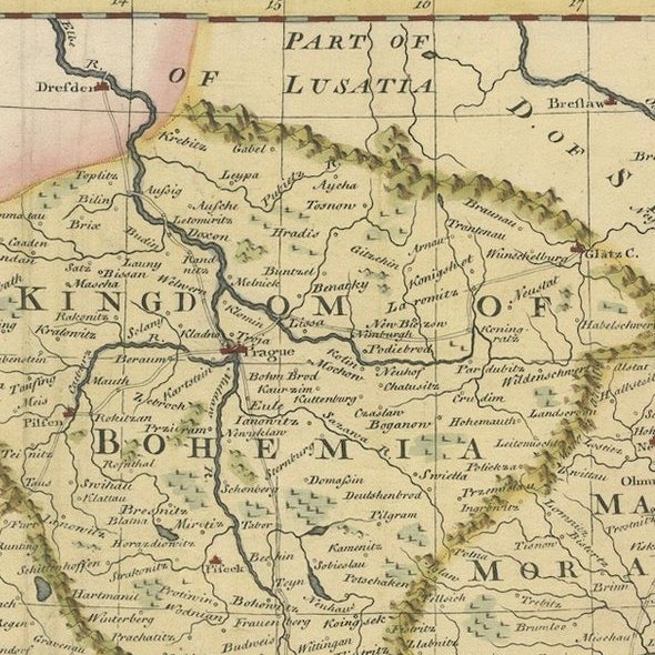
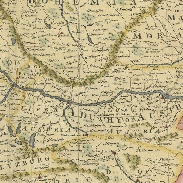
The map features finely executed geographical details, including cities, mountain ranges, rivers, and significant administrative regions. The engraved decorative cartouche is particularly attractive, adding an artistic touch to the piece with its floral and allegorical elements. Bowen was known for his precision and elaborate embellishments in cartography, which made his works highly sought after both as geographical records and decorative items.
This historical map is not just a representation of geography but a window into the political and cultural landscape of Europe in the mid-18th century. It provides context to the complex relationships between various European powers, such as the Habsburg Monarchy, Venice, and the neighboring territories. Bowen's maps were often featured in various atlases and were known for their accuracy and the richness of their decorative elements, making them valuable for collectors and history enthusiasts alike.
Condition report: The map is in very good condition, with vibrant original hand-coloring. Some minor toning consistent with age is present along the margins.