About this sheet
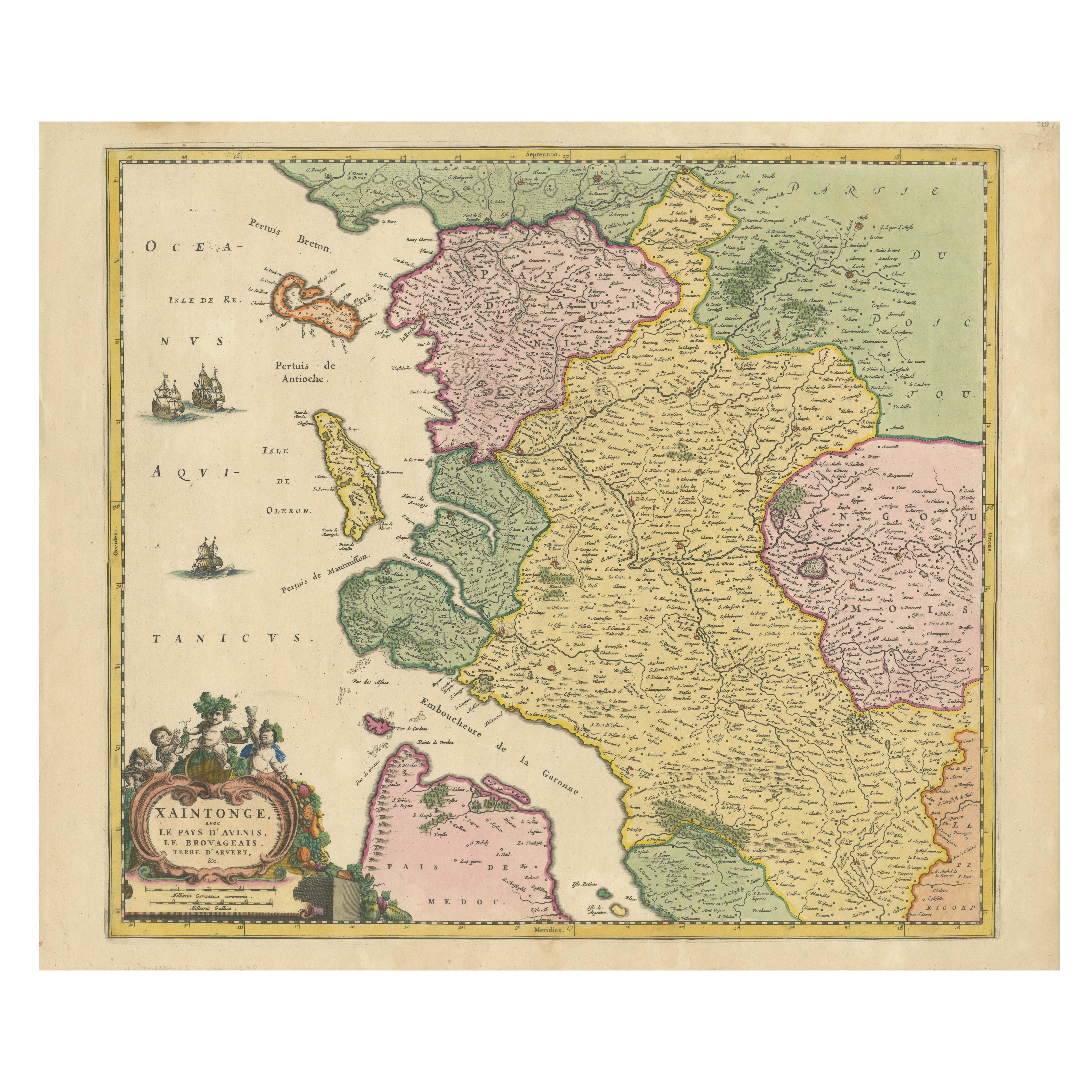
Map of Saintonge and Aunis, with Charente Coast and Cognac, 1665
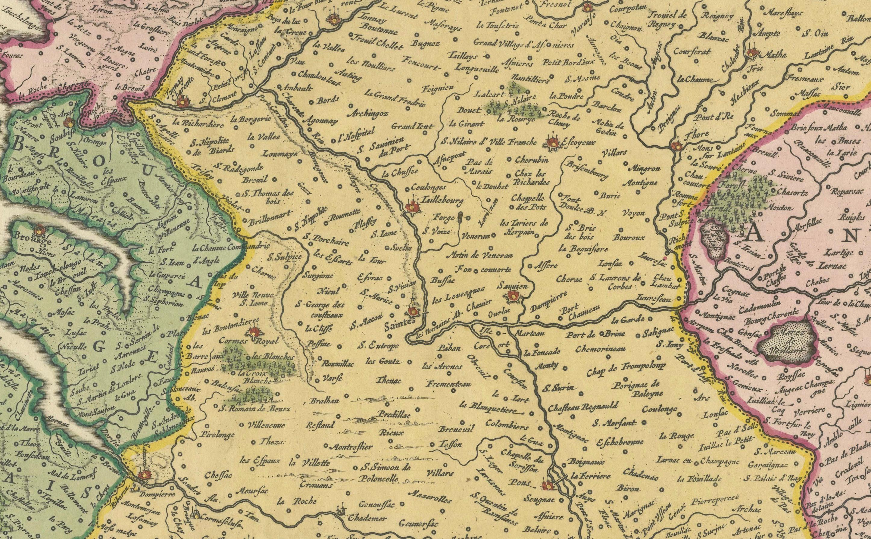
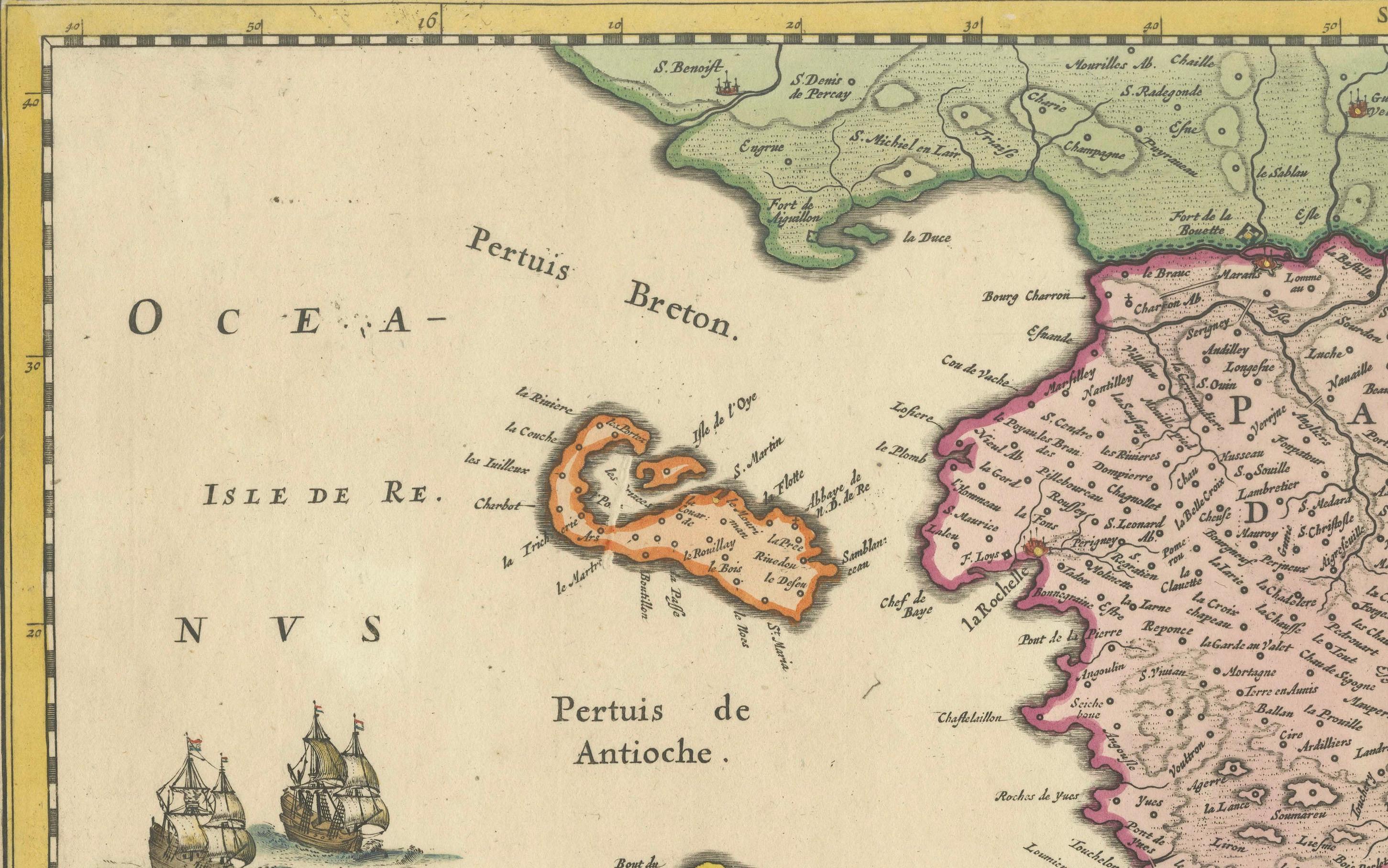
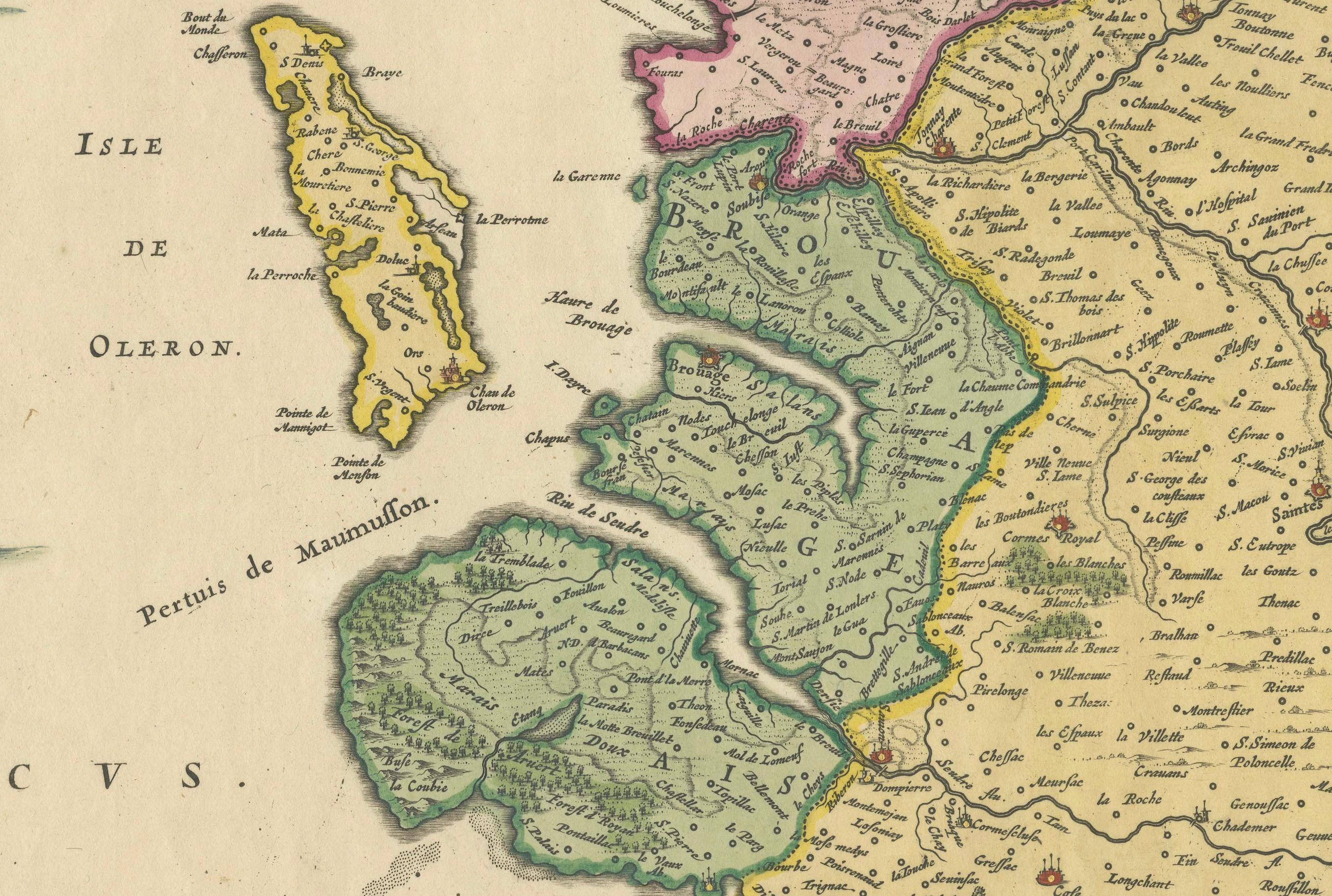
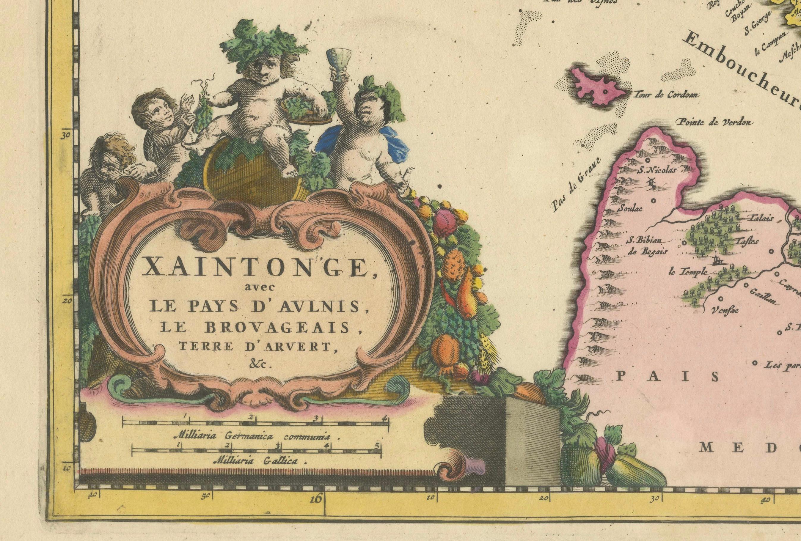
This beautifully hand-colored antique map, titled *Xaintonge, avec Le Pays D’Avlnis* (Saintonge, with the Country of Aunis), was originally published in 1665 and presents a richly detailed view of the coastal Charente-Maritime region in western France. Covering an area that includes the prominent towns of Saintes, Rochefort, Cognac, and Saint-Savinien, the map offers a rare and valuable perspective on the geography, commerce, and social fabric of the region during the 17th century.
Saintonge, located between the Atlantic coast and the rolling inland countryside, was known for its fertile farmland, vineyards, and salt marshes. Cognac, internationally famous today for its namesake brandy, is shown as an inland hub along the Charente River, while Rochefort and Saintes appear as strategic centers of military and trade activity. The map also depicts the islands of Ré and Oléron off the coast, along with key maritime passages such as the Pertuis de Maumusson and Pertuis d’Antioche.
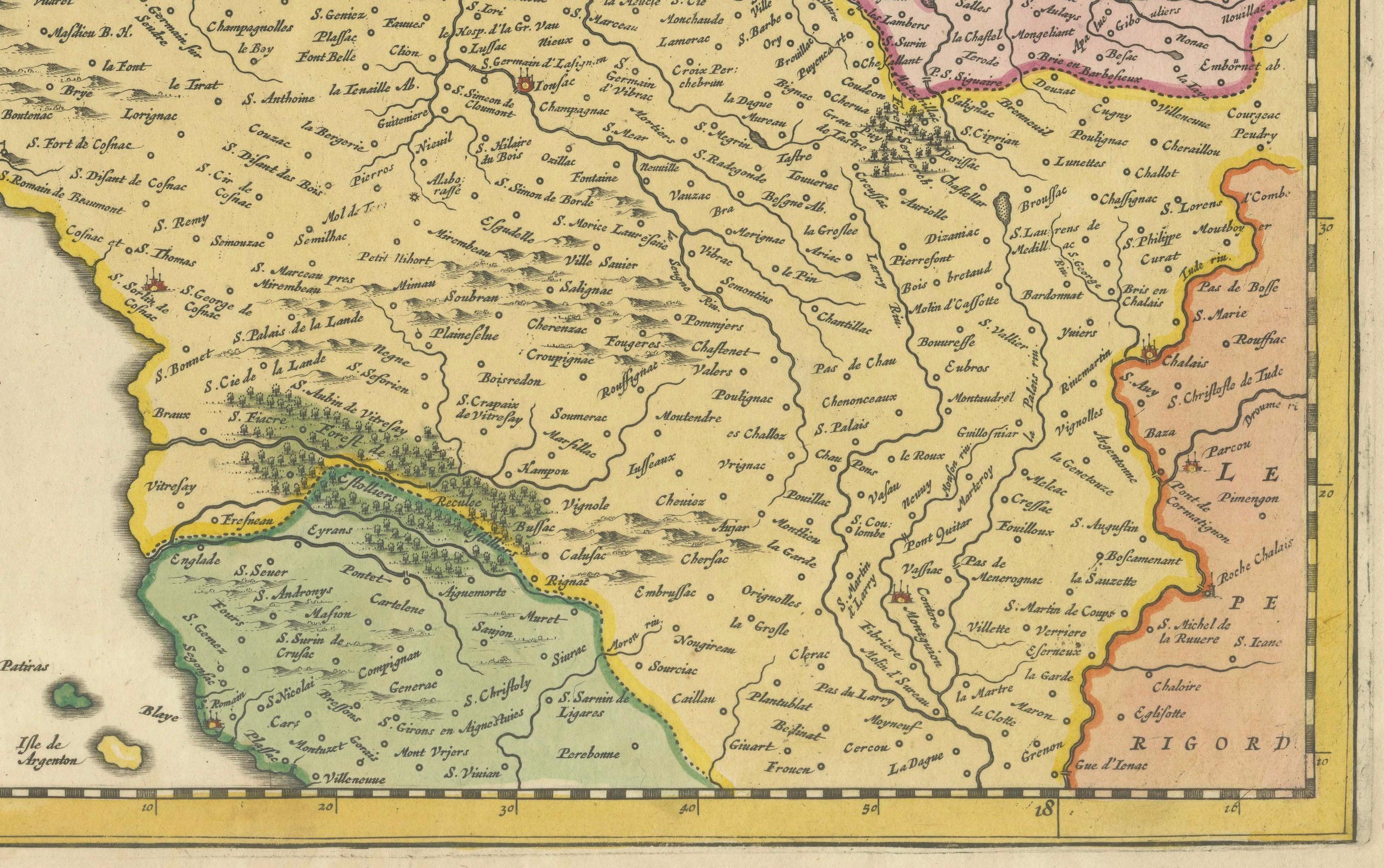
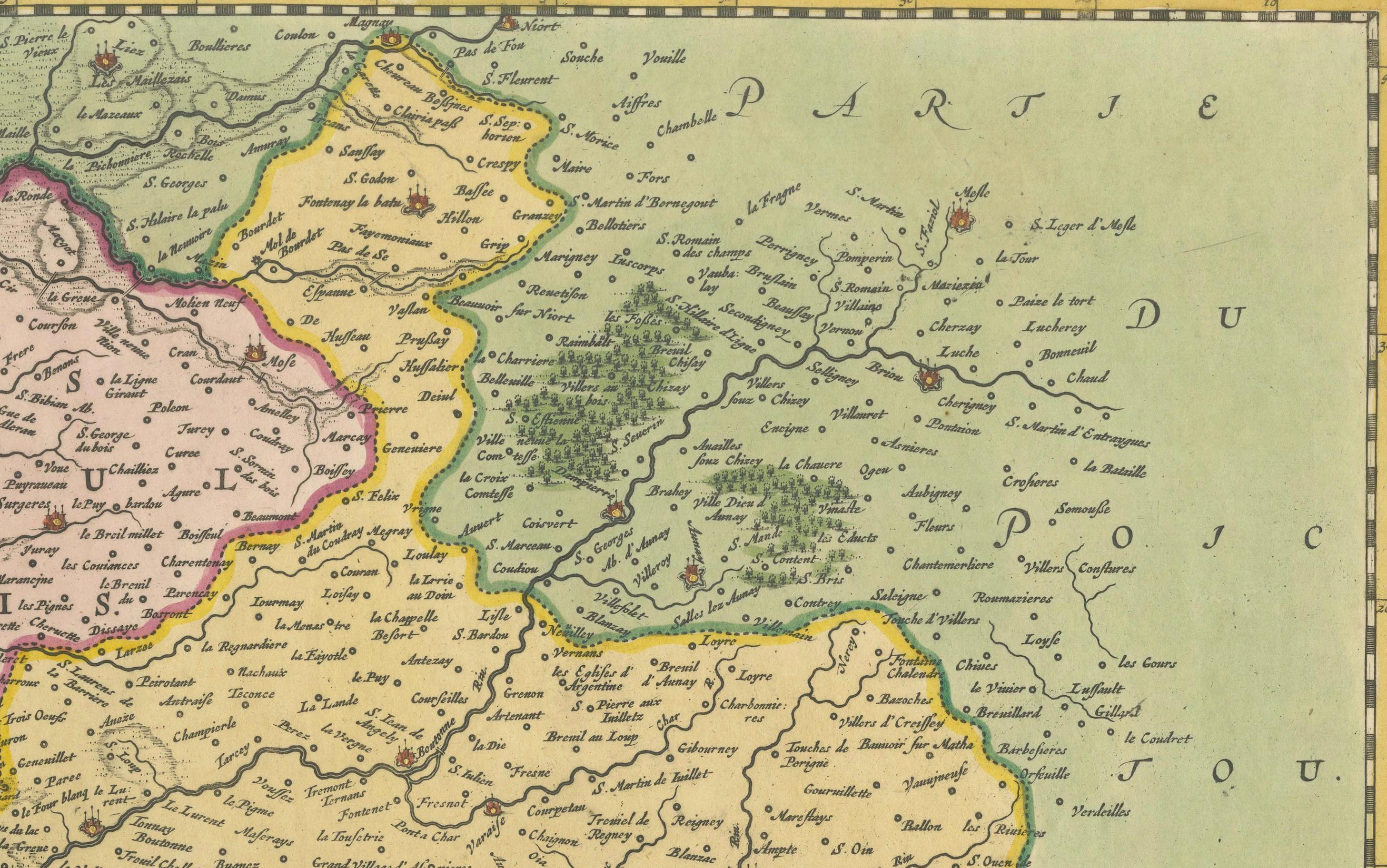
Lavishly engraved and colored, the map features detailed renderings of rivers, road networks, topographical features, and administrative boundaries. Its decorative cartouche in the lower left corner, embellished with cherubs and florals, reflects the ornate cartographic style of the mid-17th century. Sailing ships and sea monsters adorn the Atlantic waters, emphasizing the importance of the region’s naval activity and commercial ports.
This map captures the Saintonge and Aunis regions at a time when France’s monarchy maintained tight control over its provinces, but local economies, especially agricultural ones based on viticulture and wheat production, were thriving. It is not just a geographical document but also a window into the social and economic systems that shaped early modern France.
Condition Report:
Engraving with original hand coloring. Even age toning, a few small edge spots, and light centerfold as issued. Paper stable and impression clear. No tears or restorations observed.
Tips for Framing:
Use an antique-style frame in walnut or gold leaf, with a neutral cream or ivory mat. A wider mat border allows the viewer to fully appreciate the decorative cartouche and coastal detailing. UV glass is recommended to protect the hand coloring.