
Maps & PrintsBartele Gallery · Langweer
Home / Antique Maps / Europe / Western Europe / France

France · 17th century

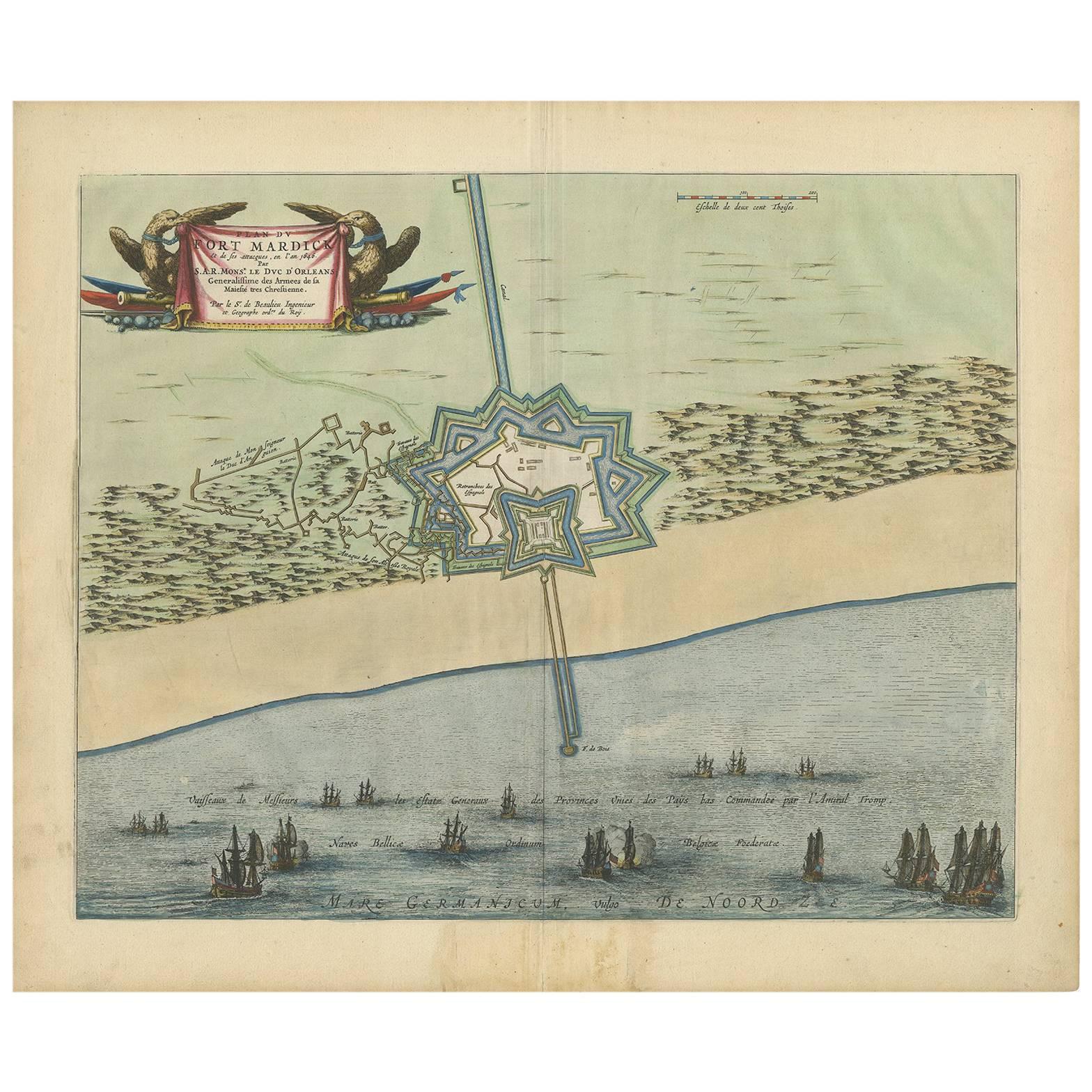
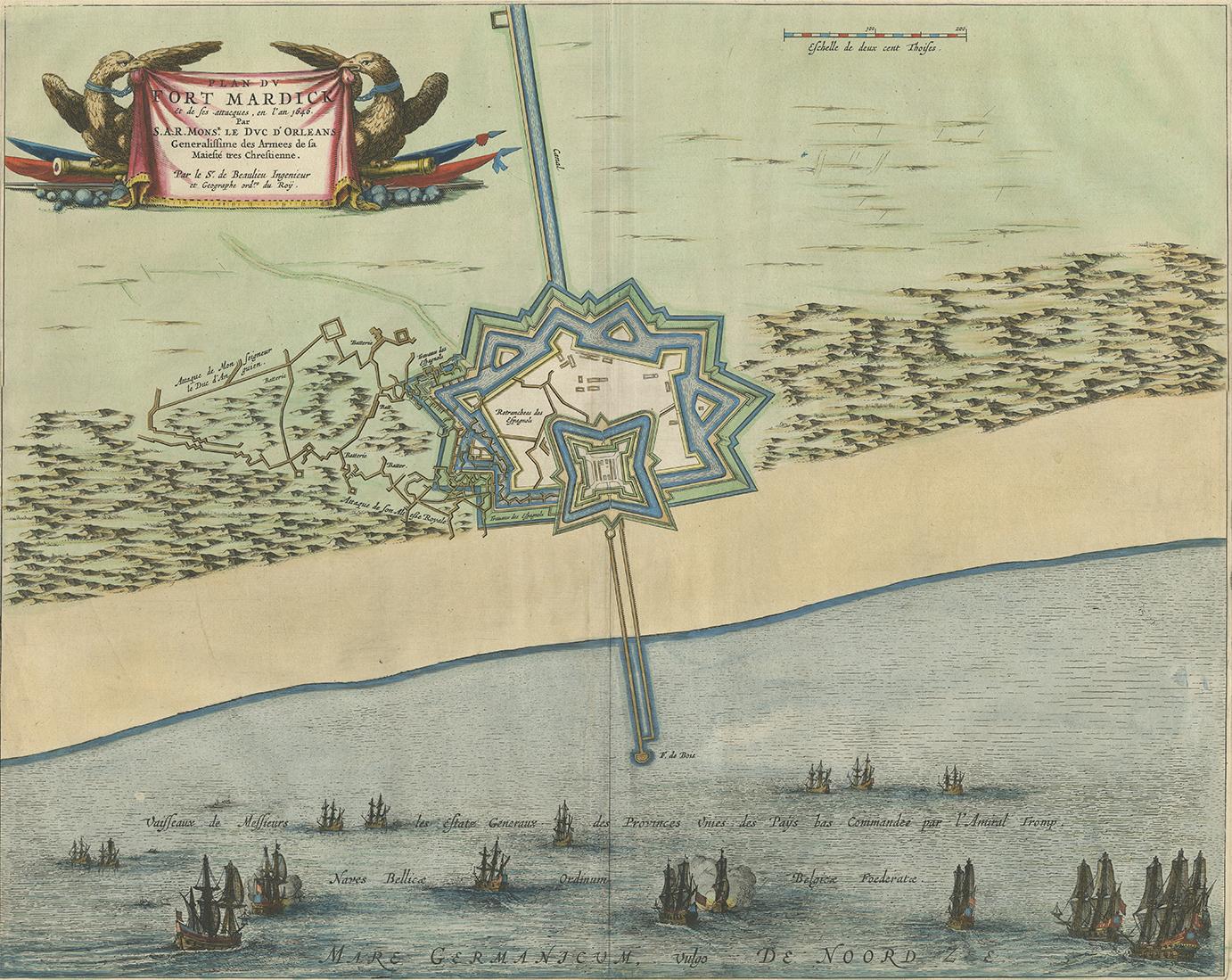
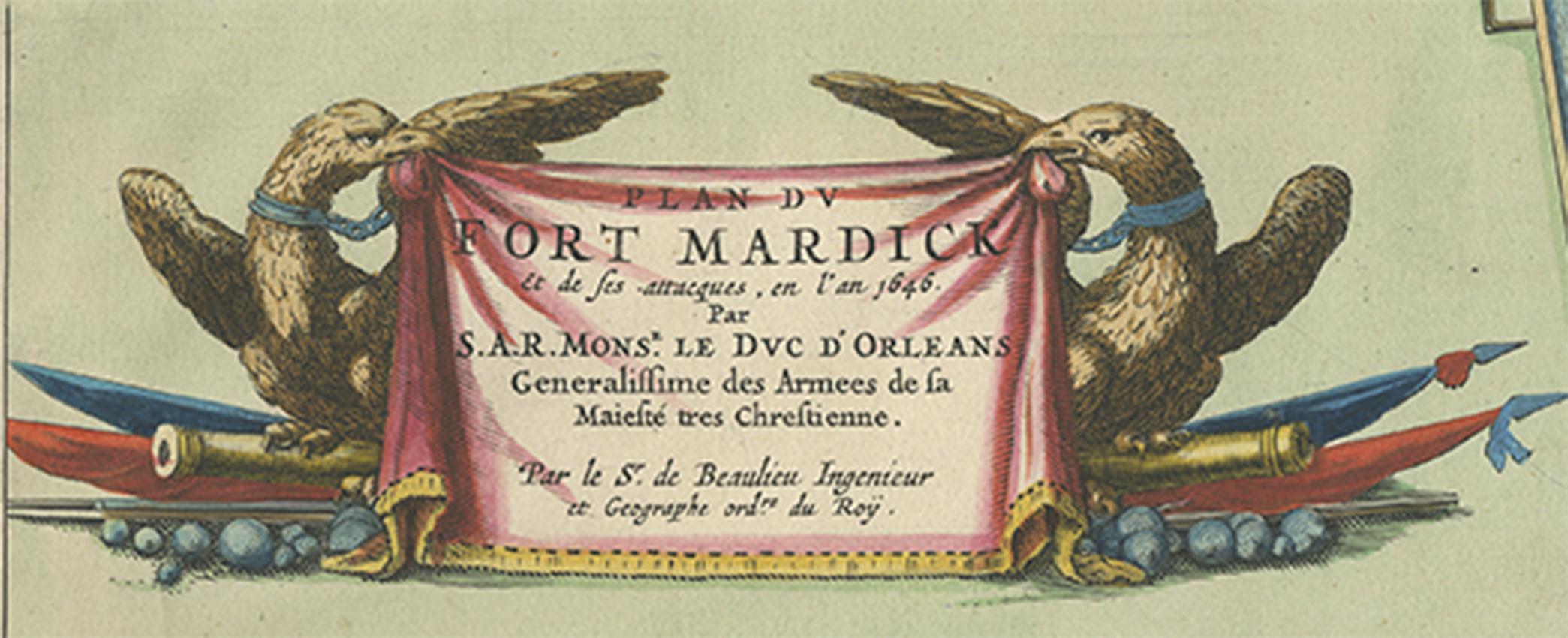
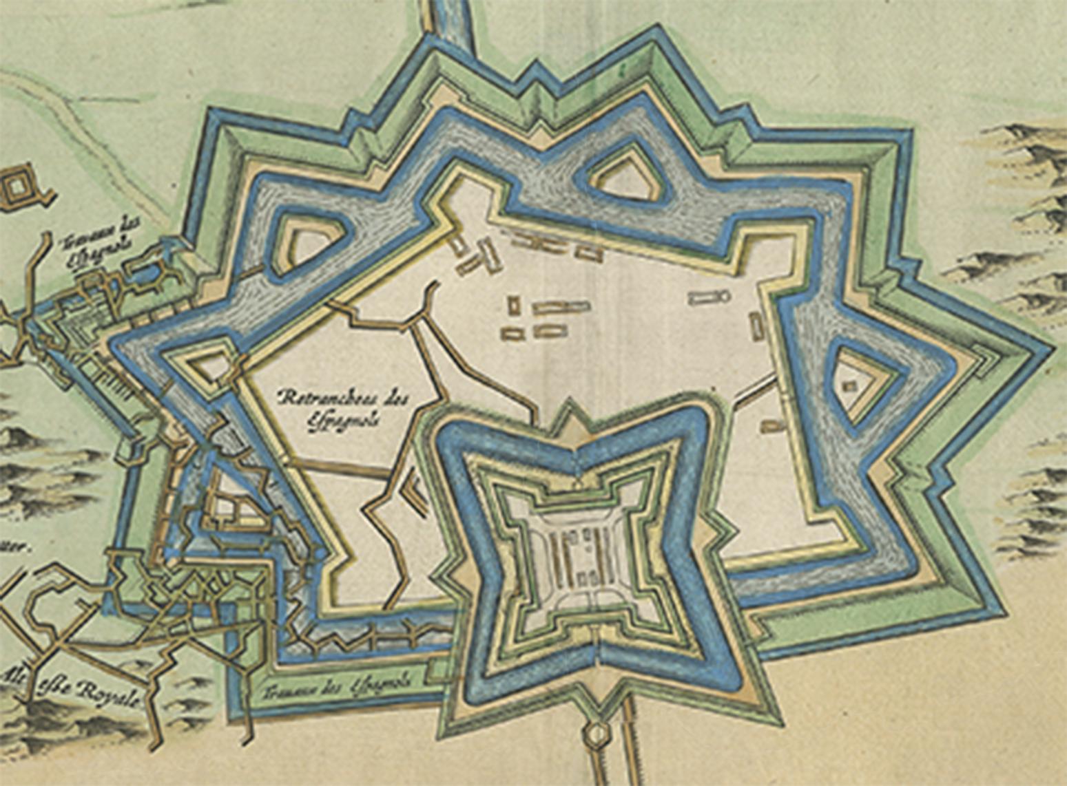
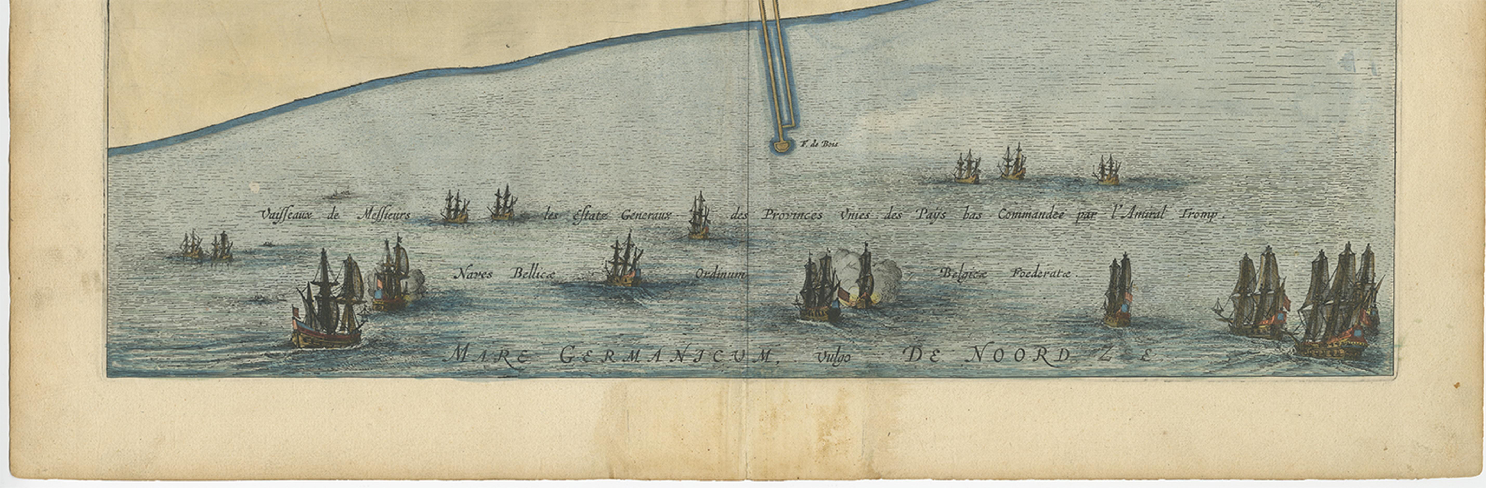
Antique Plan of Fort Mardyck Mardijk, France by S. Beaulieu, 1649

€ 493

One of a kind: this is the sheet in the photographs. Ships from Langweer, the Netherlands.

Date
1649
Sheet size
50.8 × 60.5 cm (20.0 × 23.8 in)
Condition
Good
Reference
BG-06798

Condition

Some small marginal tears. Please study image carefully.
About this sheet

Plan of Fort Mardyck (Fort Mardijk) and surroundings by Sébastian de Pontault Beaulieu. Mardyck is a former commune in the Nord department in northern France. It is an associated commune with Dunkirk since it joined the latter in 1980.

More from France

Ask about this sheet

Antique Plan of Fort Mardyck Mardijk, France by S. Beaulieu, 1649
1649 · Ref. BG-06798 · € 493
We reply by email, usually within one working day.