About this sheet
Antique Map of Tibet and Latac by D’Anville, Paris, 1737
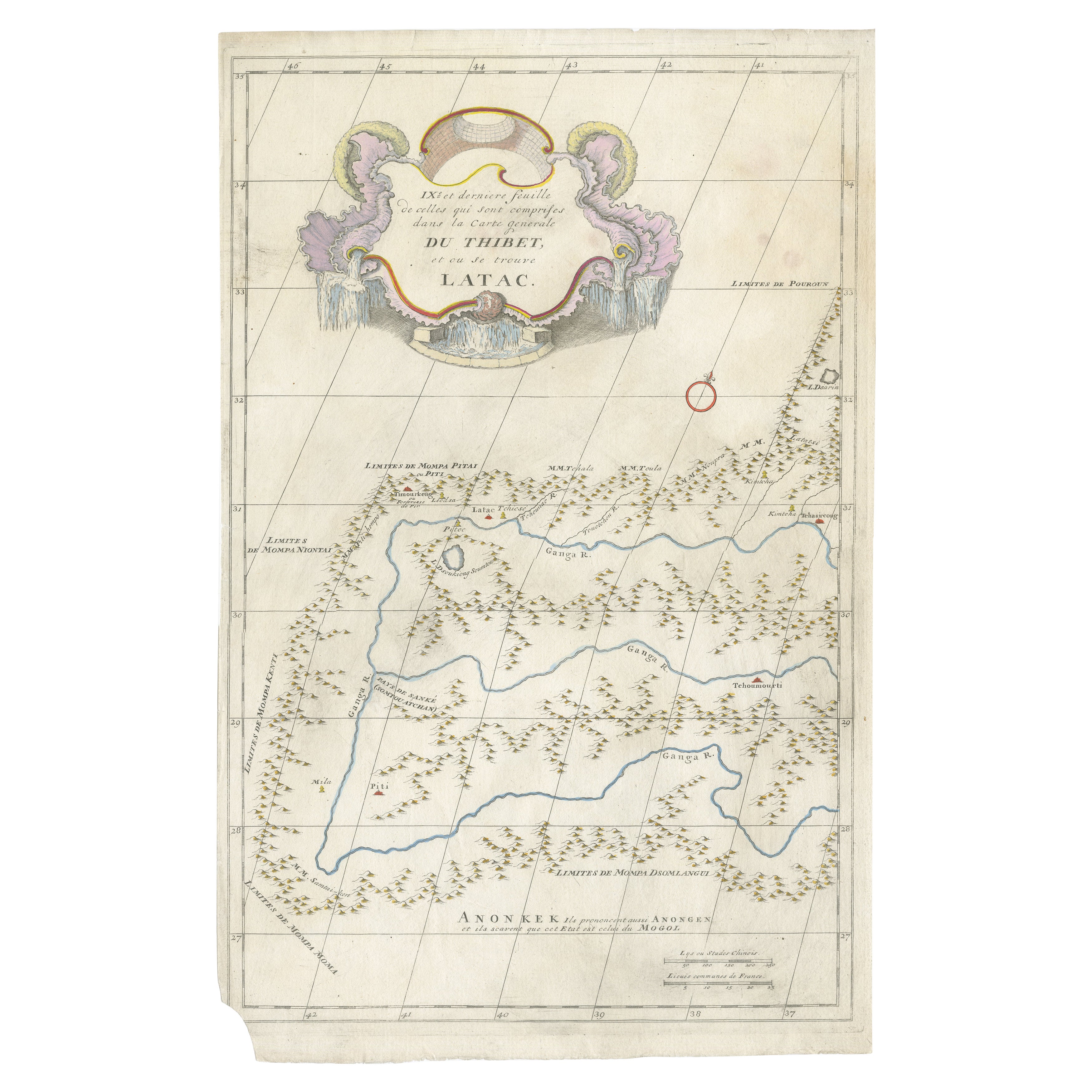
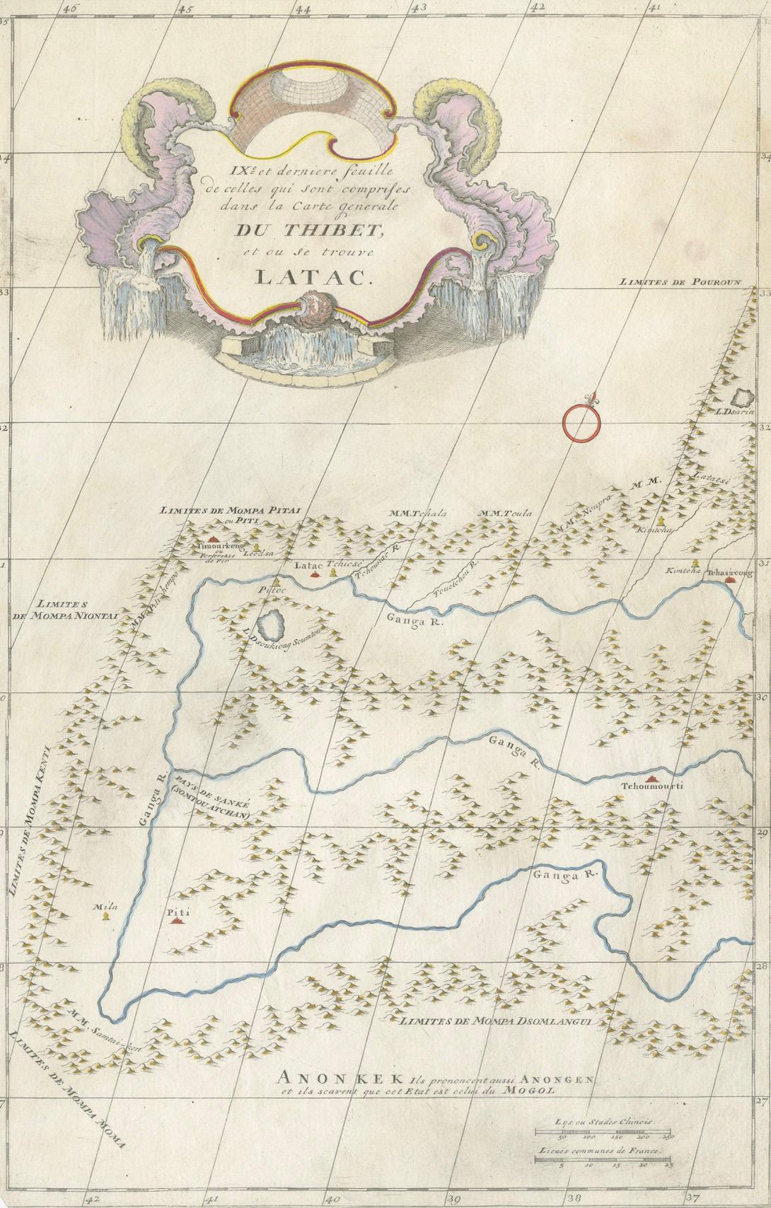
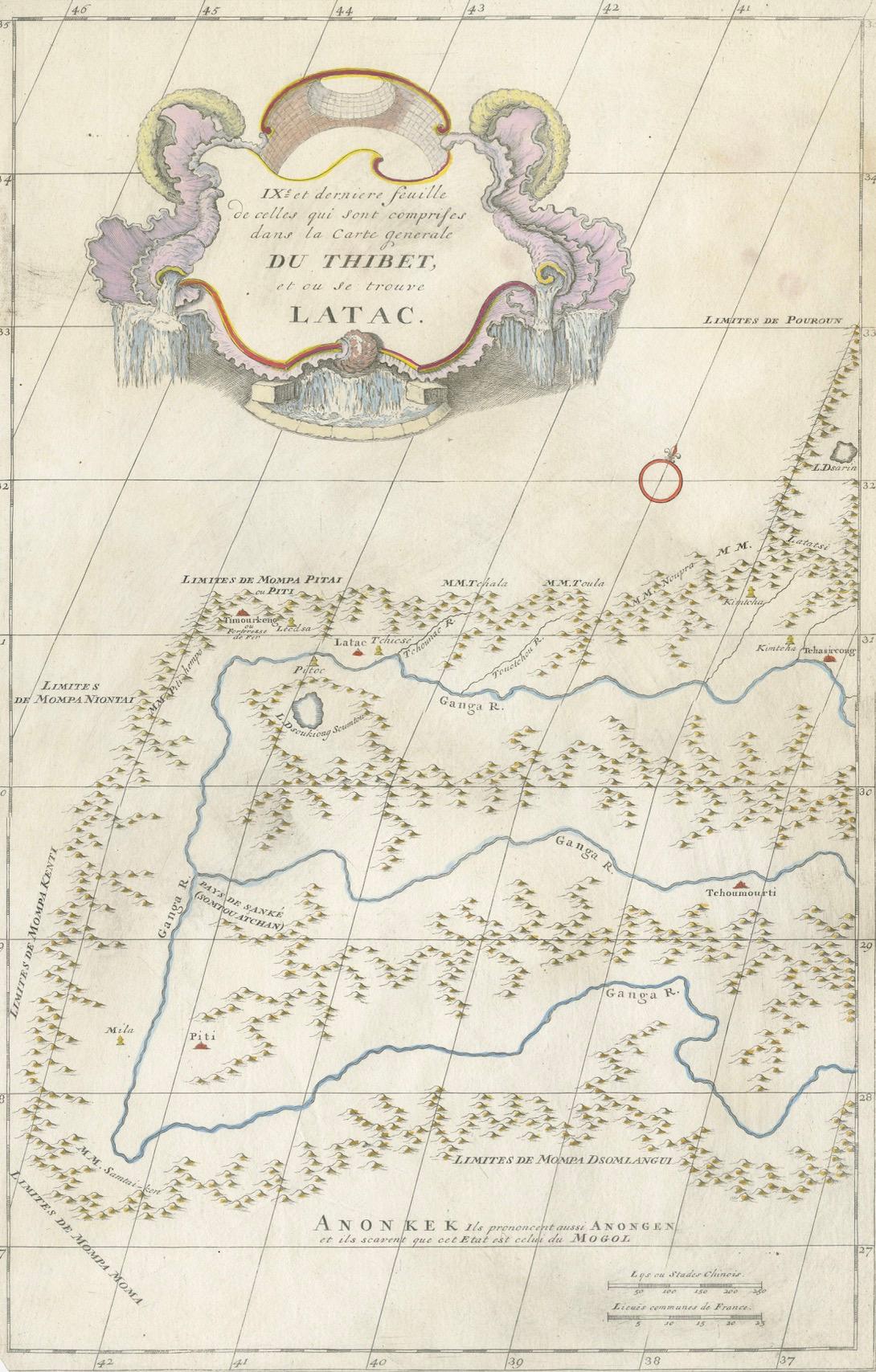
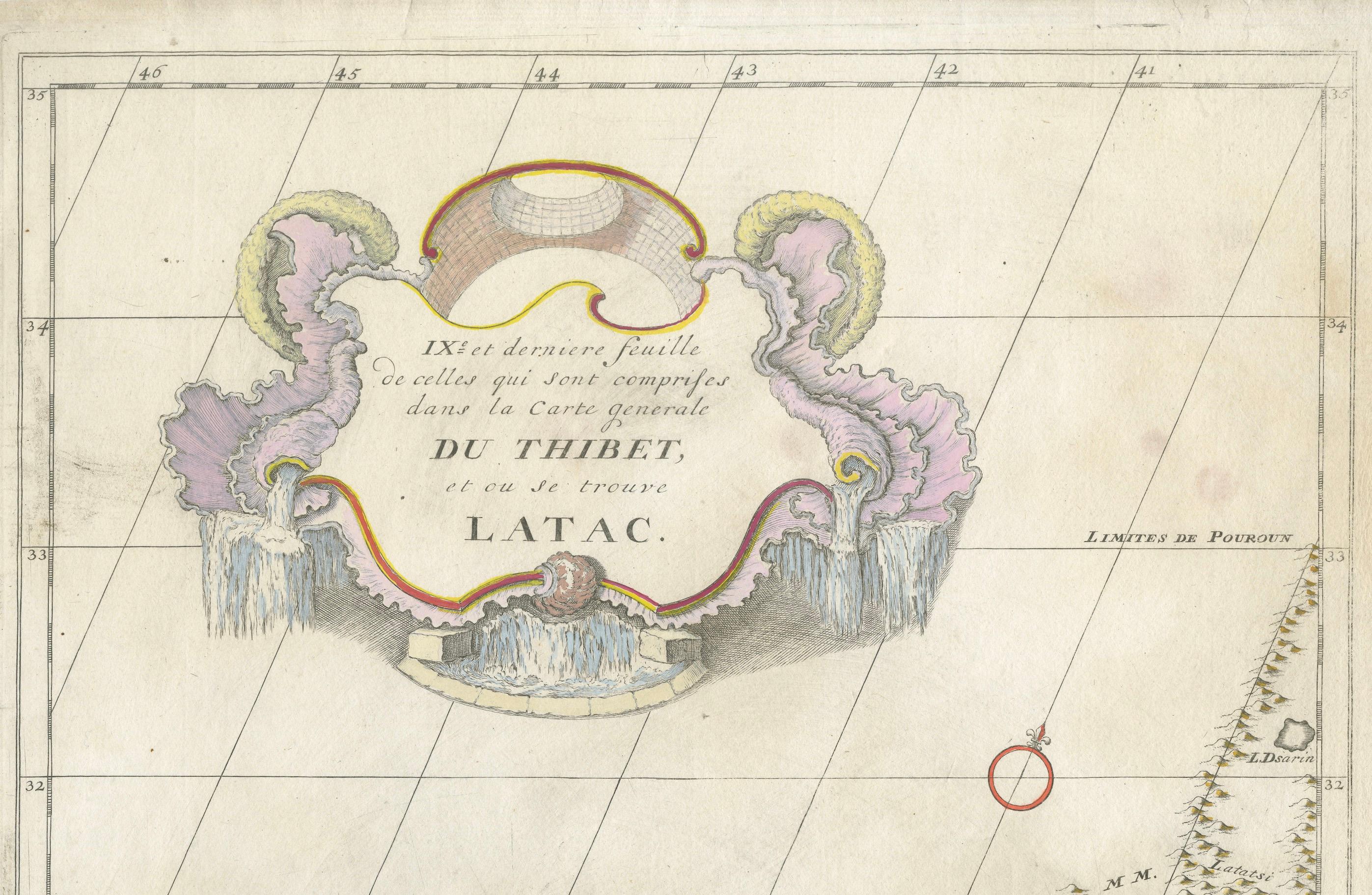
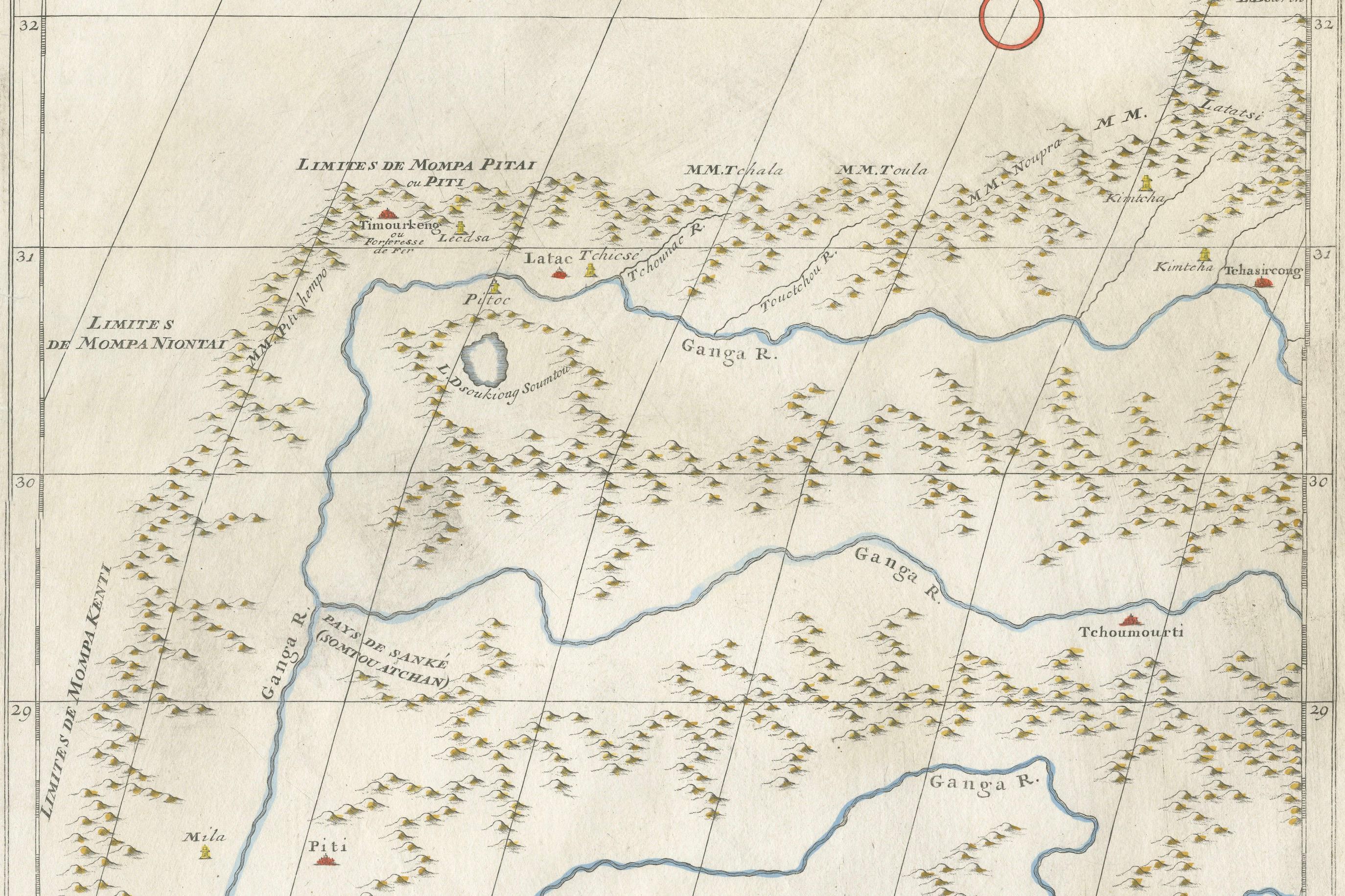
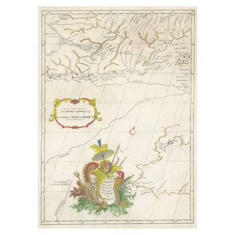
This antique engraved map is the ninth and final sheet of Jean-Baptiste Bourguignon d’Anville’s monumental Carte générale du Thibet, first published in Paris in 1737. The title cartouche reads “IXe et dernière feuille de celles qui sont comprises dans la Carte générale du Thibet, et où se trouve Latac,” marking it as the concluding portion of the larger atlas.
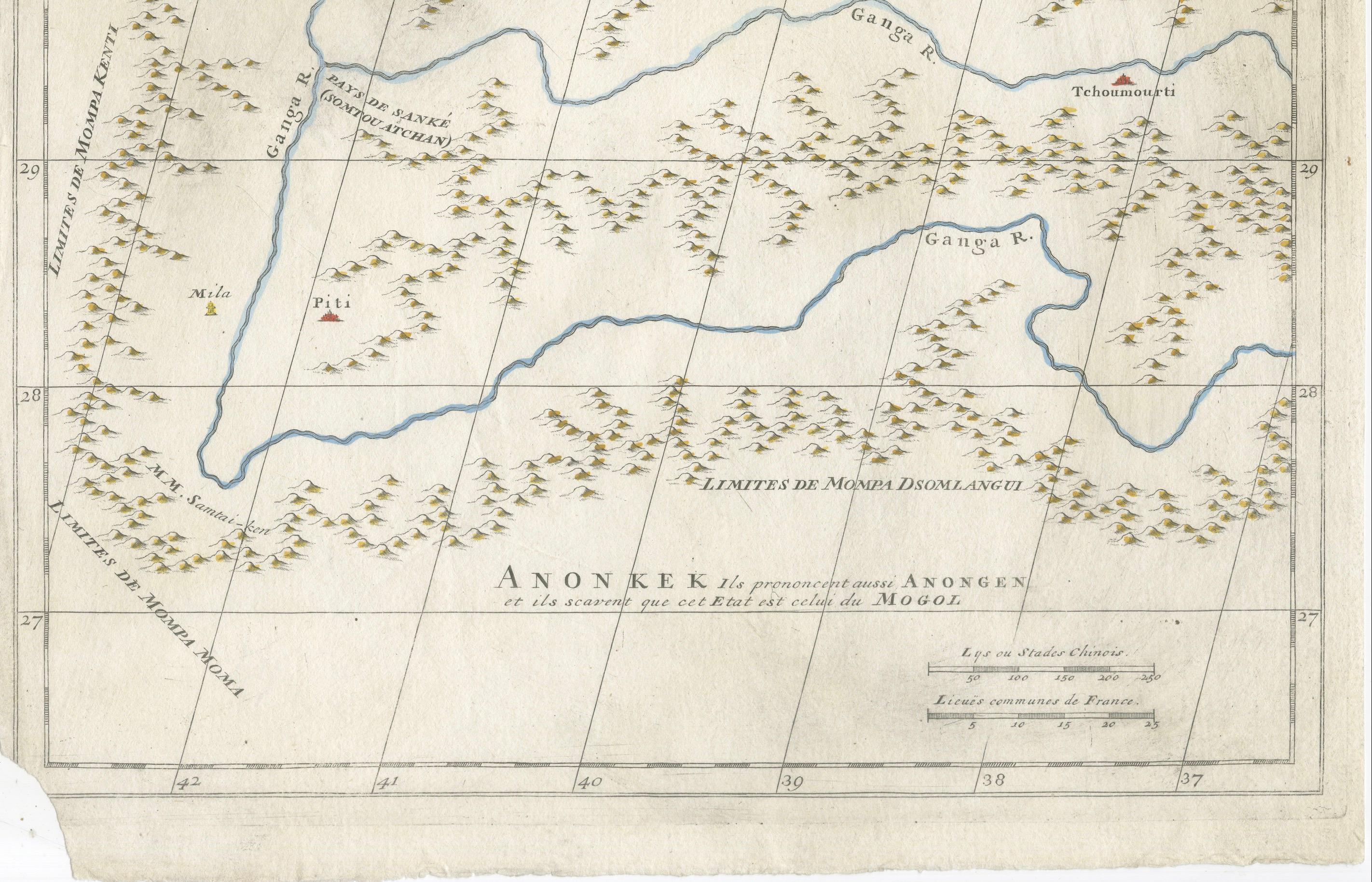
The map covers the borderlands of Tibet, Ladakh, and Mongolia, an area of great geographical and cultural significance in the 18th century. Prominently featured are the *Ganga River system*, with several branches flowing across the sheet, and key locations including Latac Volerce, Tchoumourti, Piti, and the lake labeled Rudocung Suma. Mountain ranges are depicted pictorially in shaded relief, while numerous political boundaries are noted, including Limites de Monpa Pitai, Monpa Kenti, Monpa Nontai, and Monda Dsomlangu.
The decorative rococo-style cartouche at the top, delicately hand-colored, adds elegance to the map and reflects the French engravers’ artistic sensibilities. At the bottom margin, the note Anonkeek (or Anongen) places the region within the broader dominion of the Mongol empire (Mogol), showing the cartographer’s effort to situate Tibetan territories within the political geography of Eurasia as understood at the time.
D’Anville’s maps were groundbreaking for their reliance on first-hand surveys and missionary accounts, discarding many speculative traditions that had dominated earlier European cartography. His Atlas de la Chine, de la Tartarie Chinoise et du Thibet (1737), from which this sheet originates, was based on the surveys of Jesuit missionaries commissioned by the Chinese Emperor Kangxi. As a result, these maps were among the most accurate European depictions of Central Asia of the 18th century and remained authoritative for decades.
This sheet is a fine example of 18th-century French scientific cartography, merging precise geography with decorative artistry. It represents not only a historical view of Tibet and its frontiers but also the Enlightenment spirit of exploration and knowledge.
Condition report:
Fair to Good condition with a strong, clean impression. Hand-coloring to cartouche and select details remains fresh. Light toning and faint handling marks in the margins, with a chip out of the lower left corner. Ample margins preserved.
Framing tips:
A simple dark wood or walnut frame with a wide cream or ivory mat will emphasize the map’s delicate hand-coloring and engraved detail. For a more formal presentation, a gilt frame with a subtle inner fillet would echo the elegance of the rococo cartouche.
Technique: Engraving with hand-coloring
Maker: Jean-Baptiste Bourguignon d’Anville, Paris, 1737