About this sheet
Antique Blaeu Map Mallorca Ibiza Balearic Islands, Mediterranean c1642
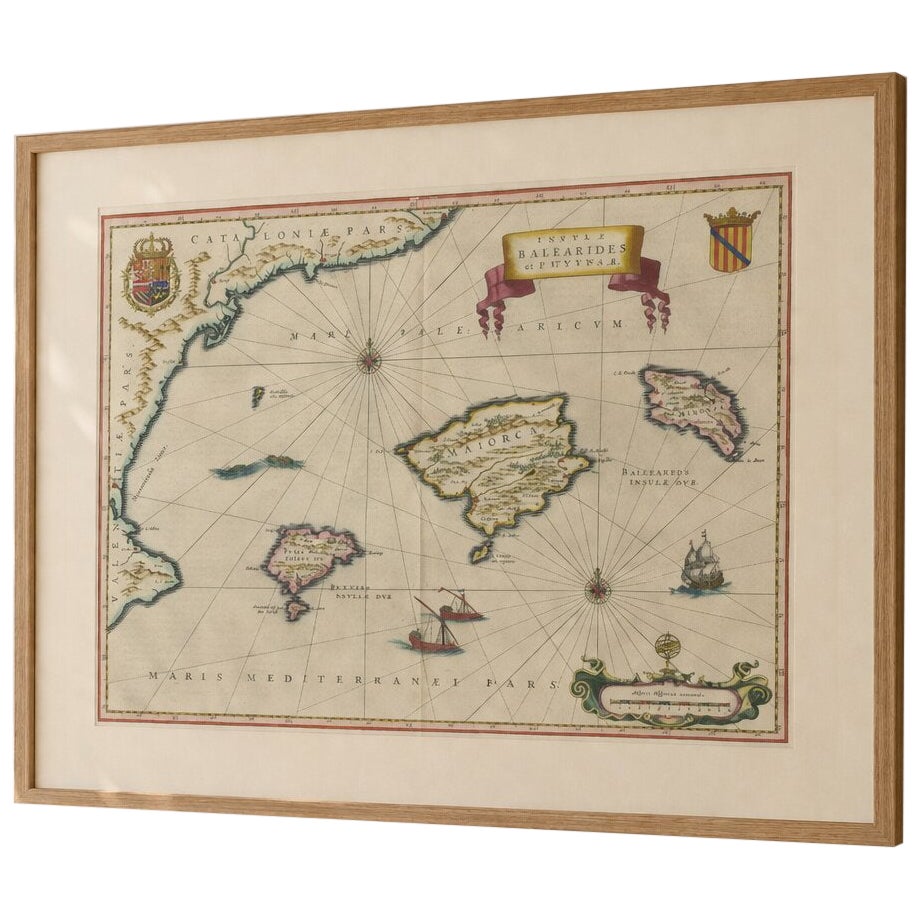
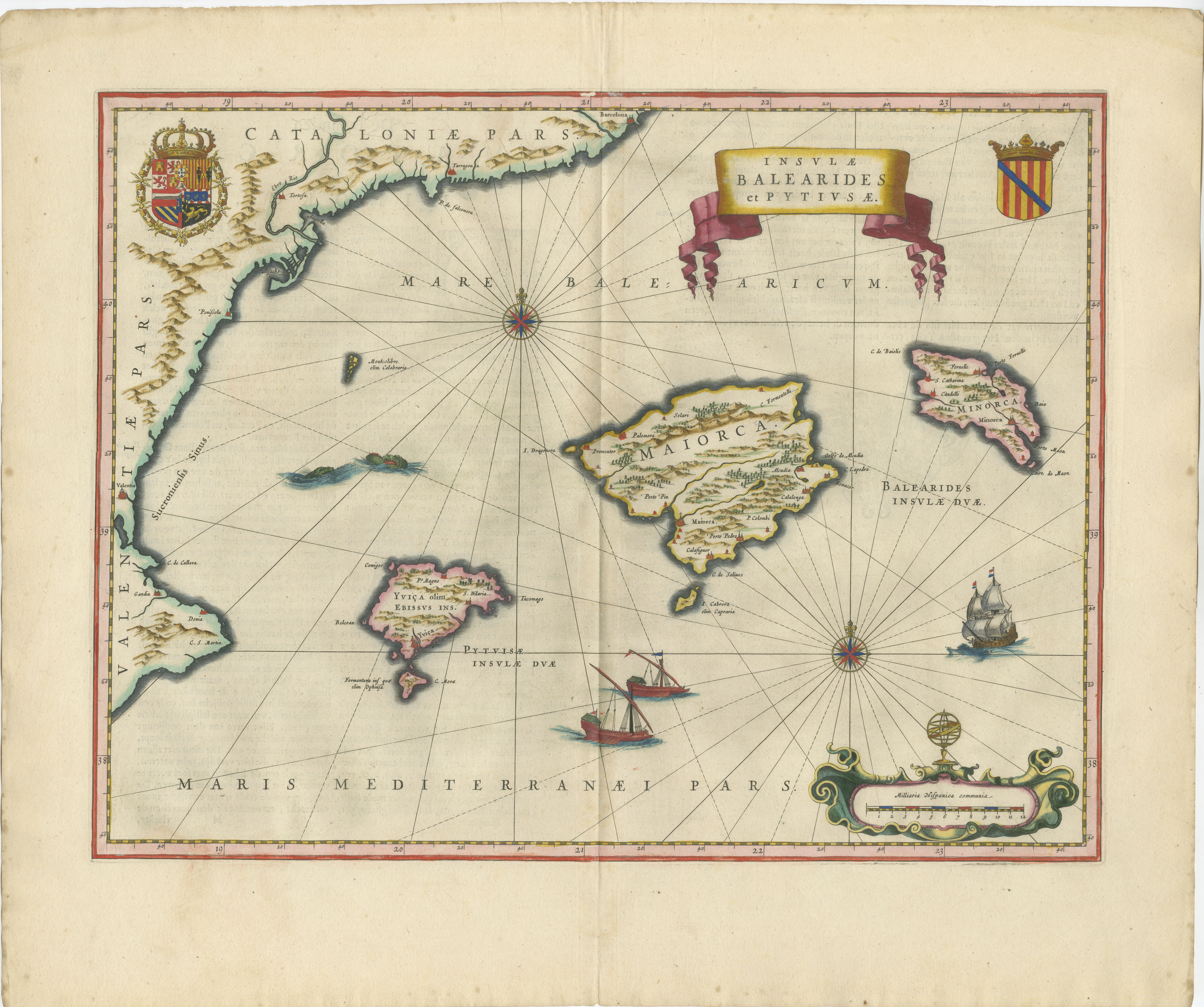
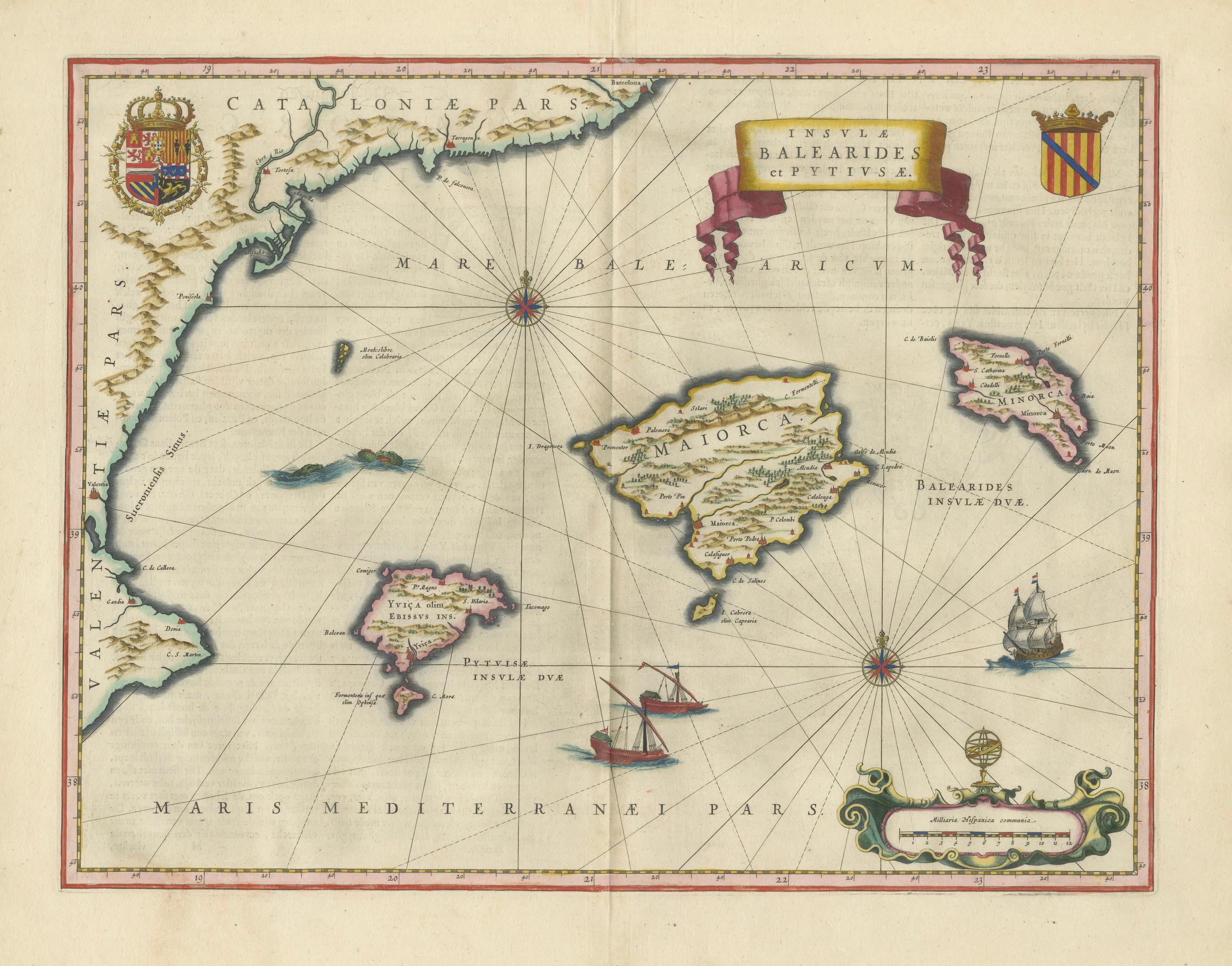
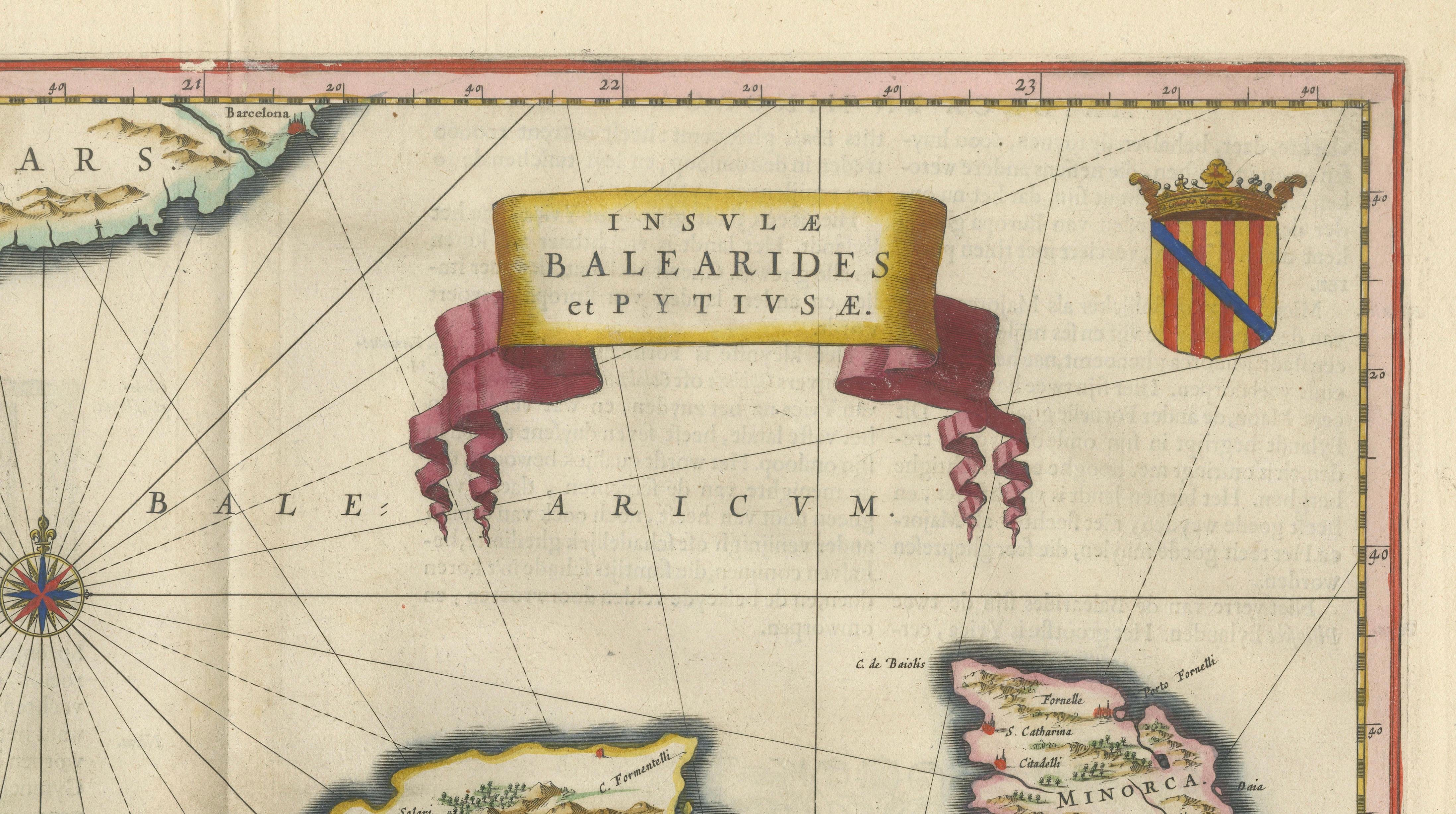
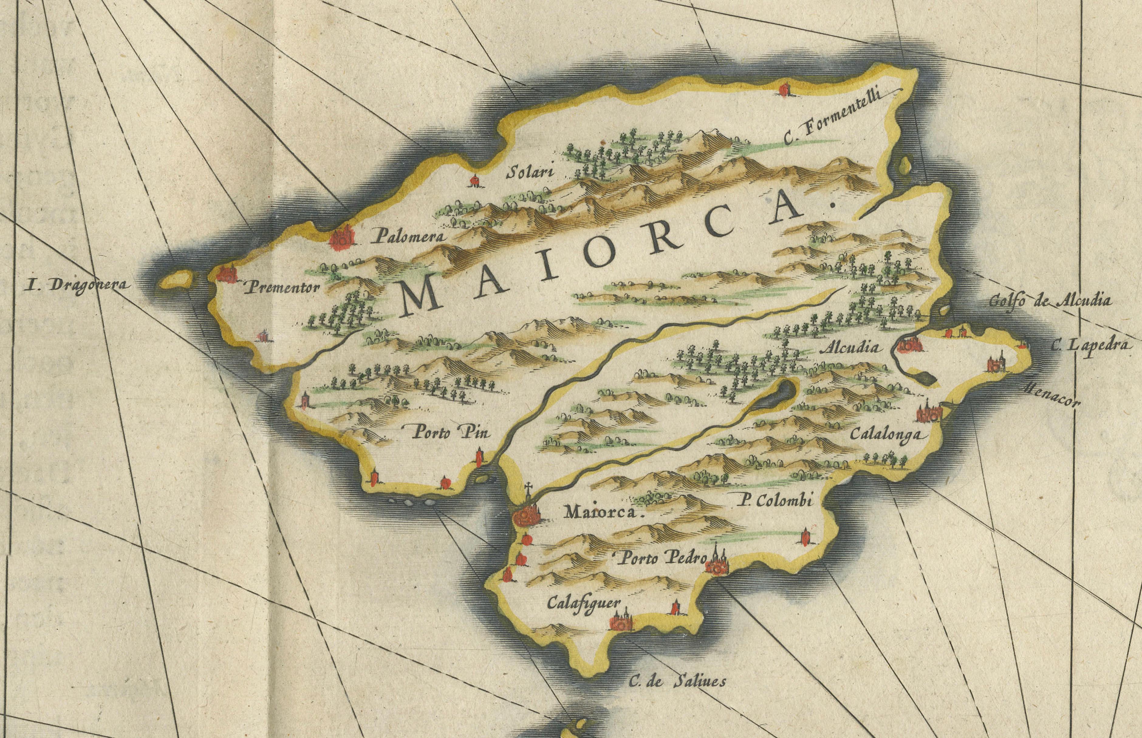
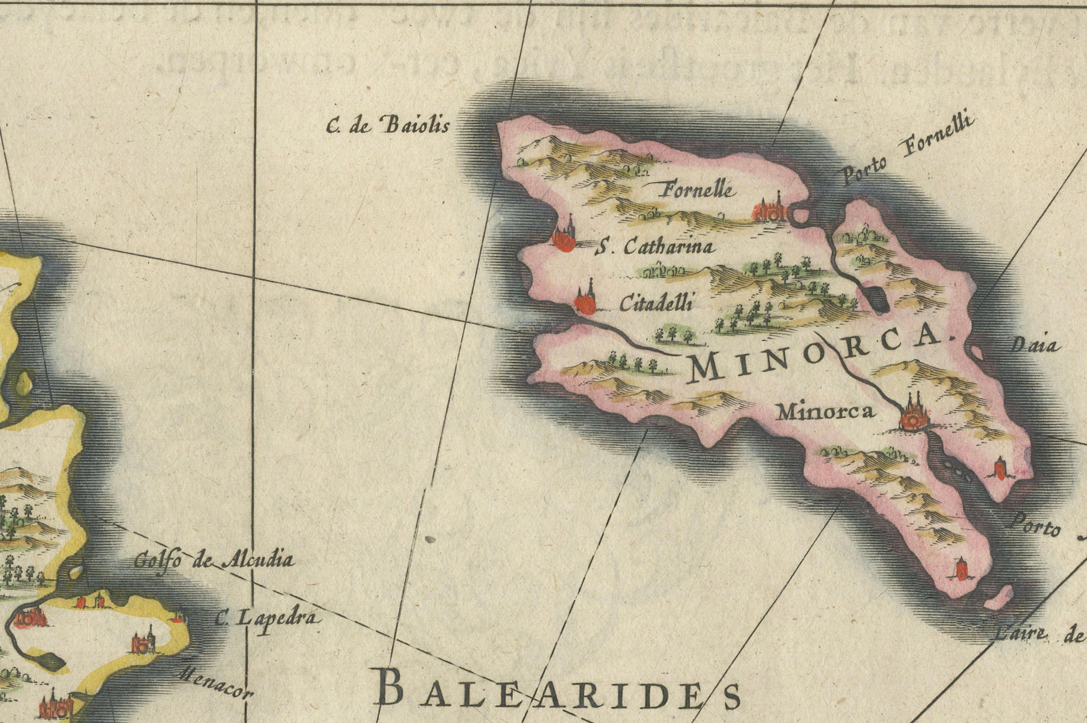
A beautifully balanced and highly decorative map of the Balearic Islands, titled Insulae Balearides et Pityusae, engraved and published by Willem Jansz. Blaeu in Amsterdam around 1642. Issued in Blaeu’s celebrated Toonneel des Aerdrycx, this map represents one of the most elegant island compositions of the Dutch Golden Age.
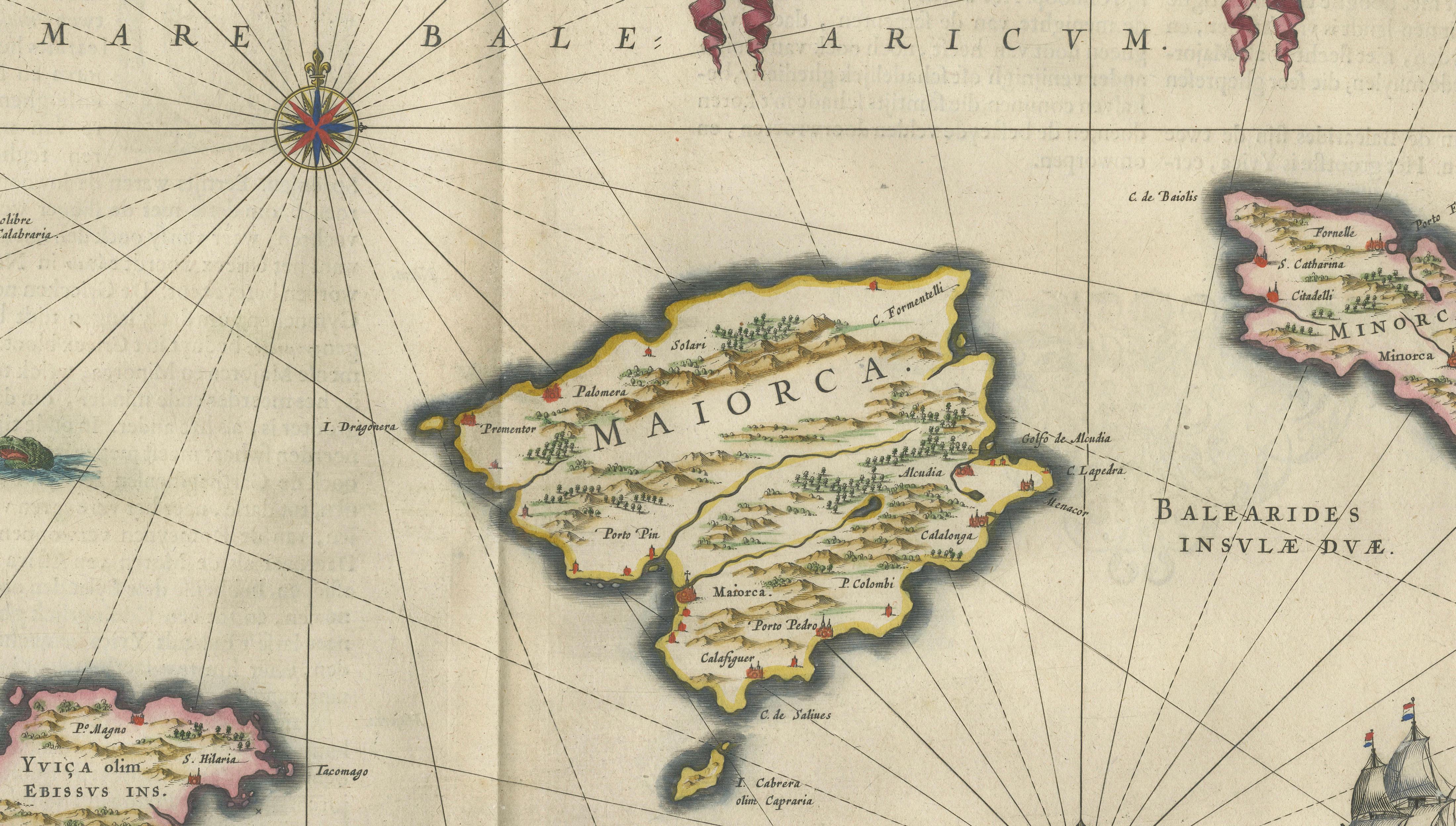
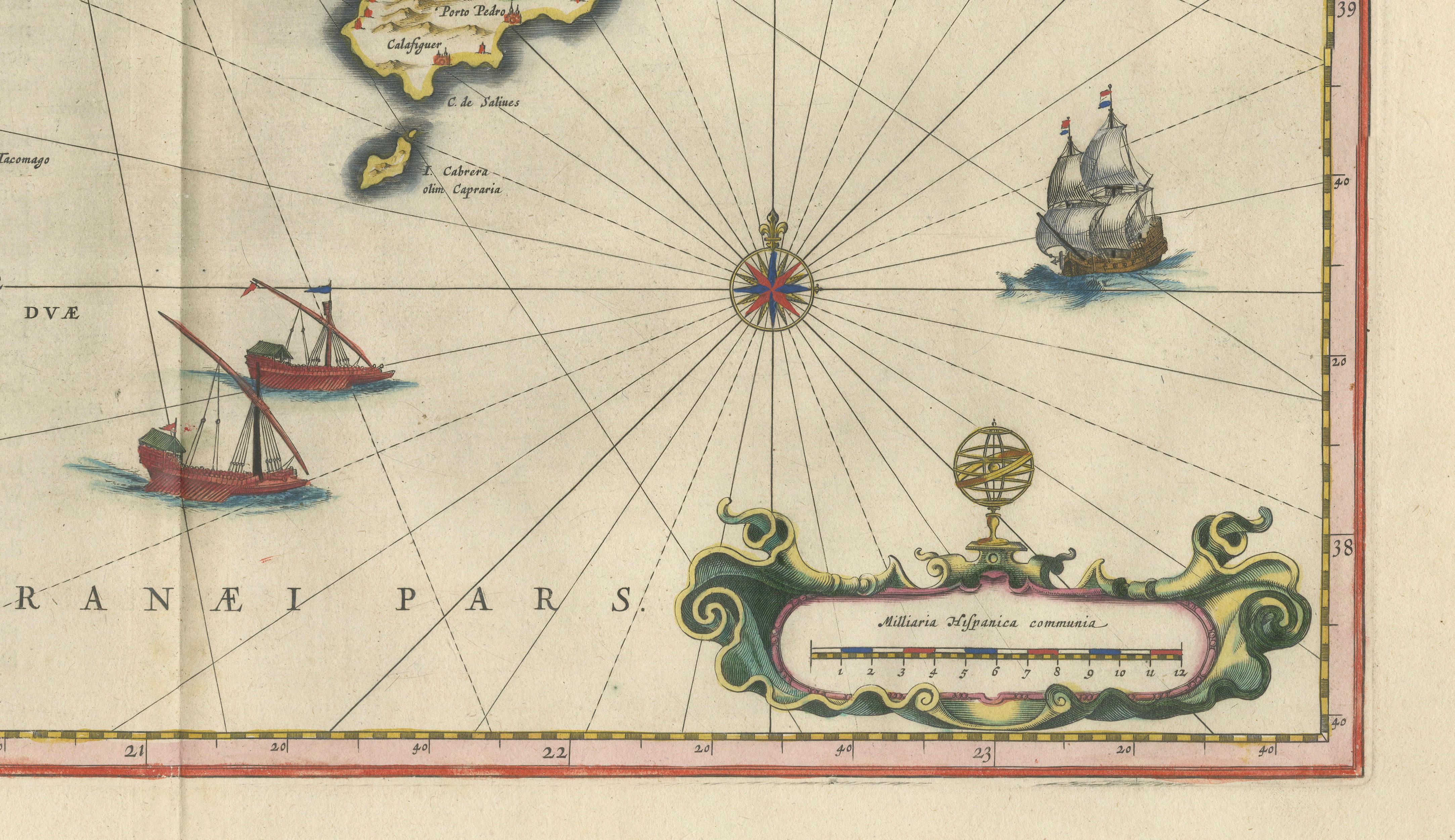
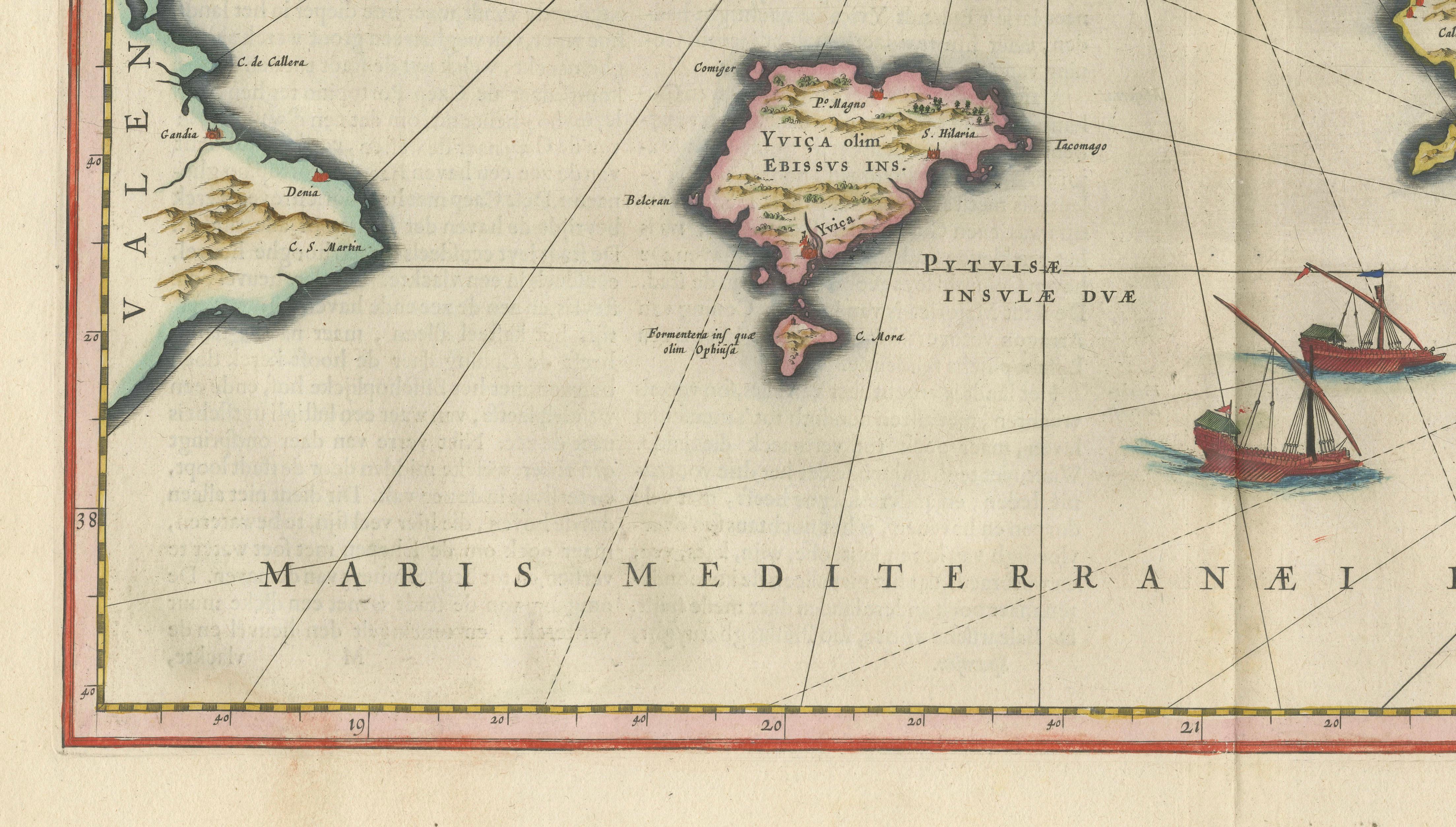
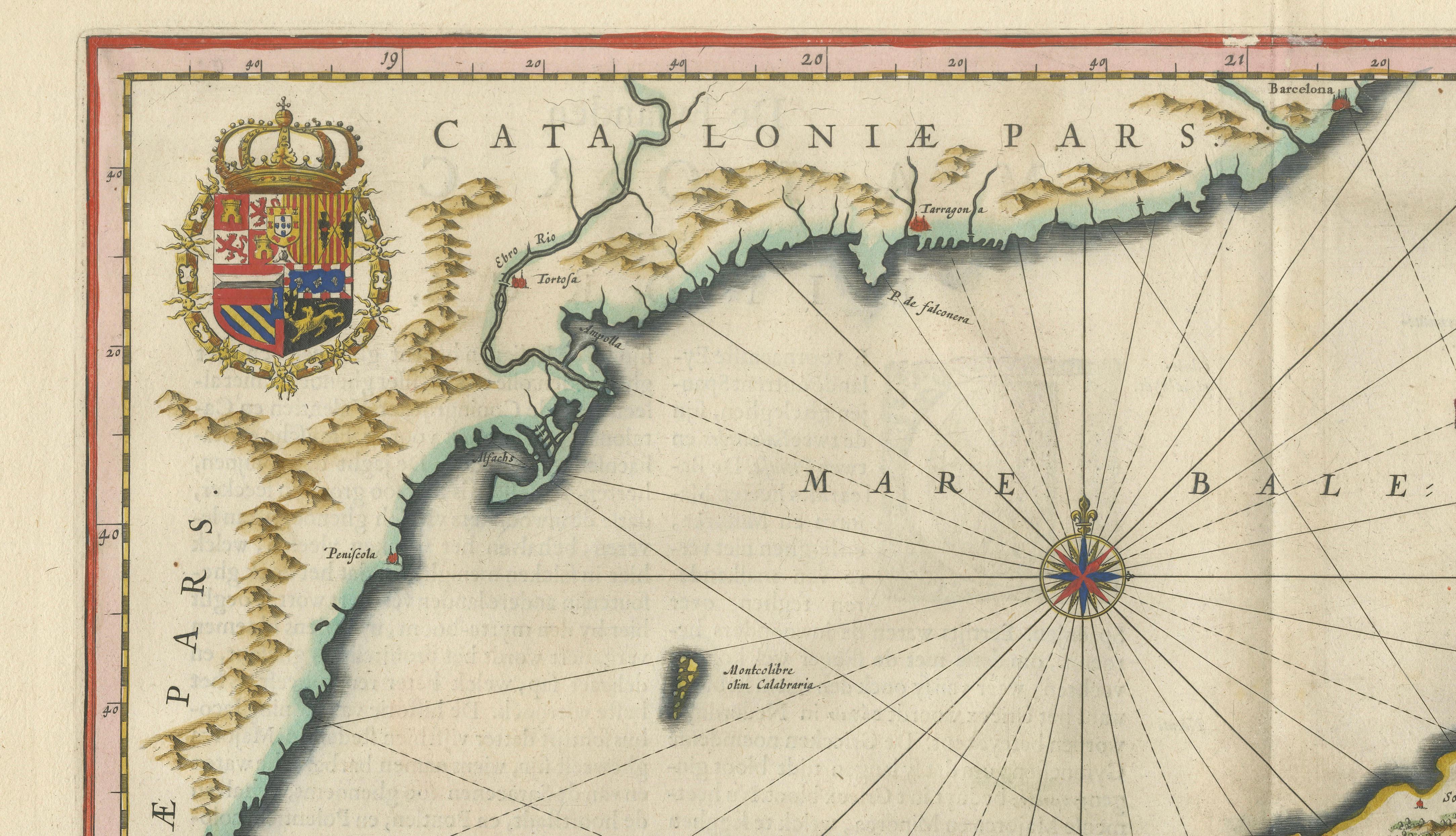
The map depicts Mallorca, Menorca, and Ibiza with remarkable clarity, set within the open waters of the Mediterranean. The surrounding coastline of Catalonia appears at left, anchoring the composition geographically while allowing the islands to take visual prominence. Blaeu’s engraving captures not only the geography but also the maritime character of the region, with delicately engraved sailing ships and finely radiating rhumb lines that animate the sea.
What makes this map particularly desirable is its exceptional balance. The islands are presented almost as individual jewels within a wide expanse of sea, creating a calm, refined composition that works beautifully in an interior setting. Mallorca is shown in great detail, with its mountainous interior and settlements carefully rendered, while Ibiza and Menorca are equally distinct and clearly labeled. The decorative elements—coat of arms, banner cartouche, and ornamental scale—are executed with Blaeu’s characteristic elegance and enhanced by original hand coloring.
This map resonates strongly with modern collectors due to the enduring appeal of the Balearic Islands. Mallorca and Ibiza remain synonymous with Mediterranean lifestyle, travel, and understated luxury, making this piece not only historically significant but also visually and emotionally engaging in a contemporary setting.
This example is an original antique engraving printed. It is not a modern reproduction. Any images showing the print framed are for visual inspiration only. The map is supplied unframed.
Condition report:
Good condition with original hand coloring. Central fold as issued. Light, even toning consistent with age. Minor edge wear and occasional faint spotting. Plate mark visible. A clean and attractive example.
Framing tips:
This map lends itself exceptionally well to a bright, coastal interior. Pair with a light oak or soft walnut frame and a wide off-white mat to enhance the open composition. Ideal as a standalone statement piece or as part of a refined coastal or Mediterranean-themed wall.
Technique: Copperplate engraving
Maker: Willem Jansz. Blaeu, Amsterdam, c.1642
Keywords:
Balearic Islands map, Mallorca map, Ibiza map, Menorca map, antique Mallorca map, antique Ibiza map, Blaeu Balearic map, Mediterranean islands map, Spain island map, Catalonia coast map, Palma Mallorca map, Balearides map, Pityusae map, Willem Blaeu map, Dutch Golden Age map, 17th century map, antique sea chart Mediterranean, nautical map ships compass rose, decorative island map, luxury coastal wall art, Mediterranean decor art, beach house art map, Miami interior wall art, Mallorca Ibiza decor, collector map Spain islands, old map Mediterranean, historic Spain islands, nautical engraving map, museum quality map, Toonneel des Aerdrycx, Blaeu atlas map, vintage Mediterranean map