About this sheet
Majestic 19th Century Map of Europe by Andriveau-Goujon - Complete Continental View - Circa 1849
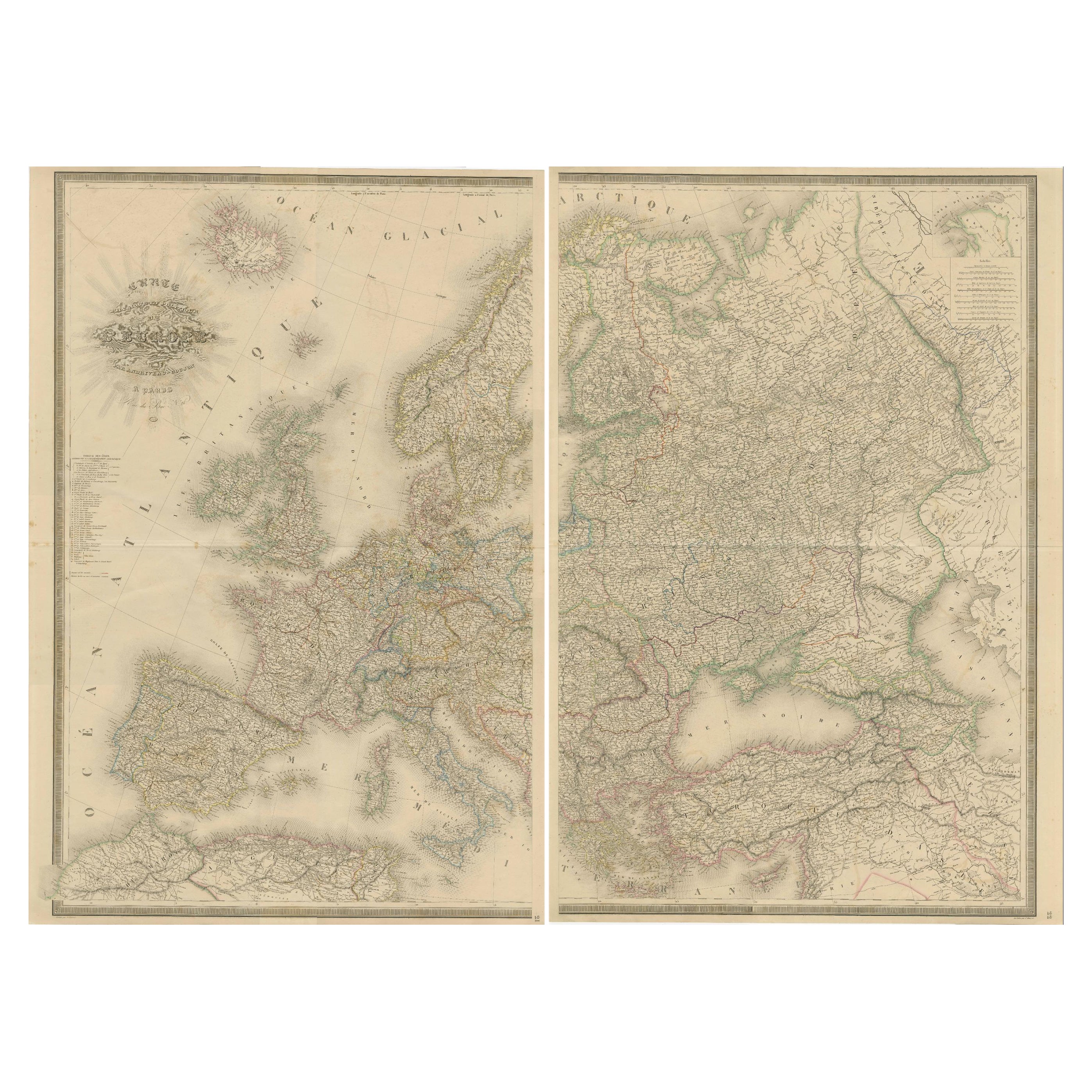
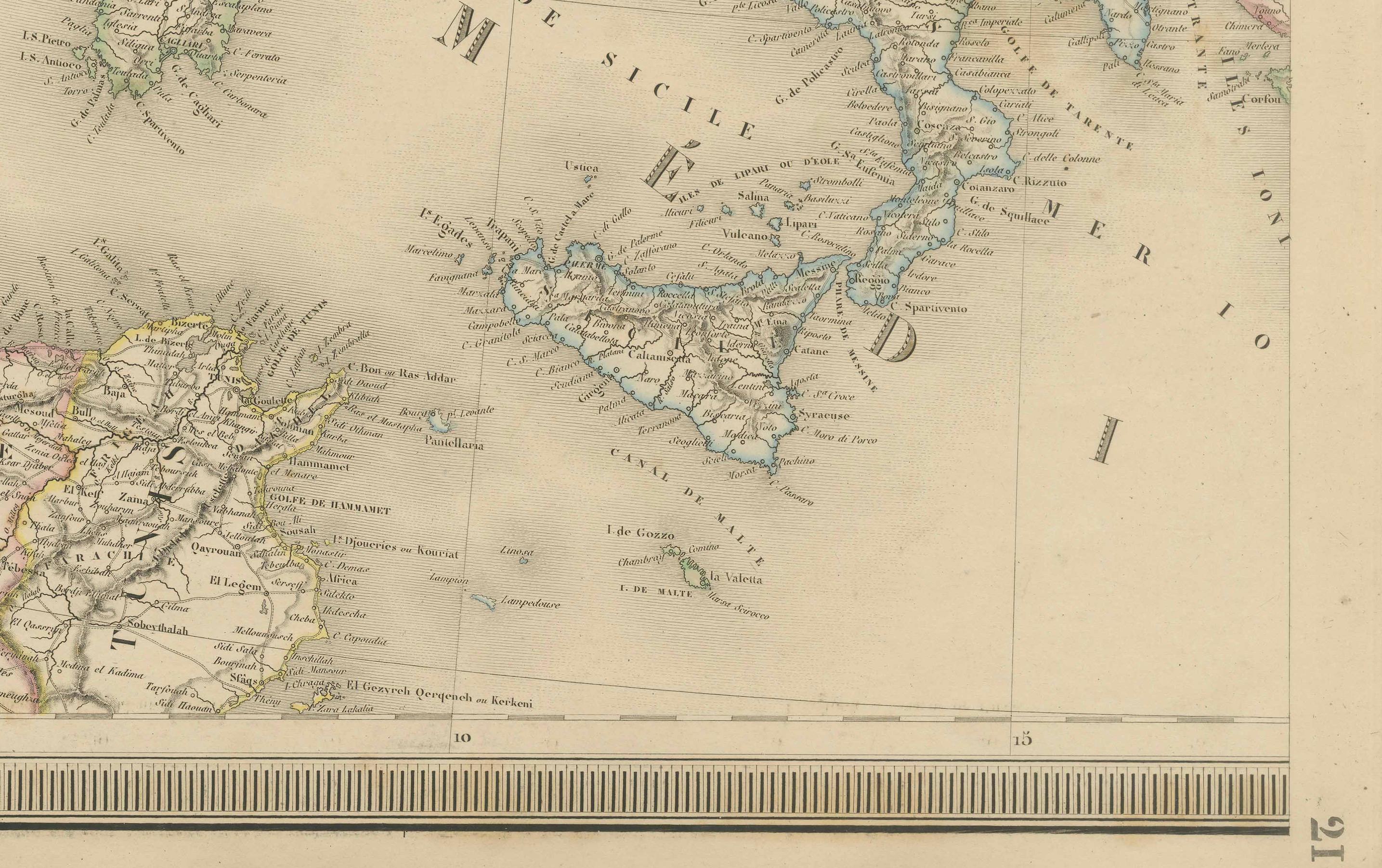
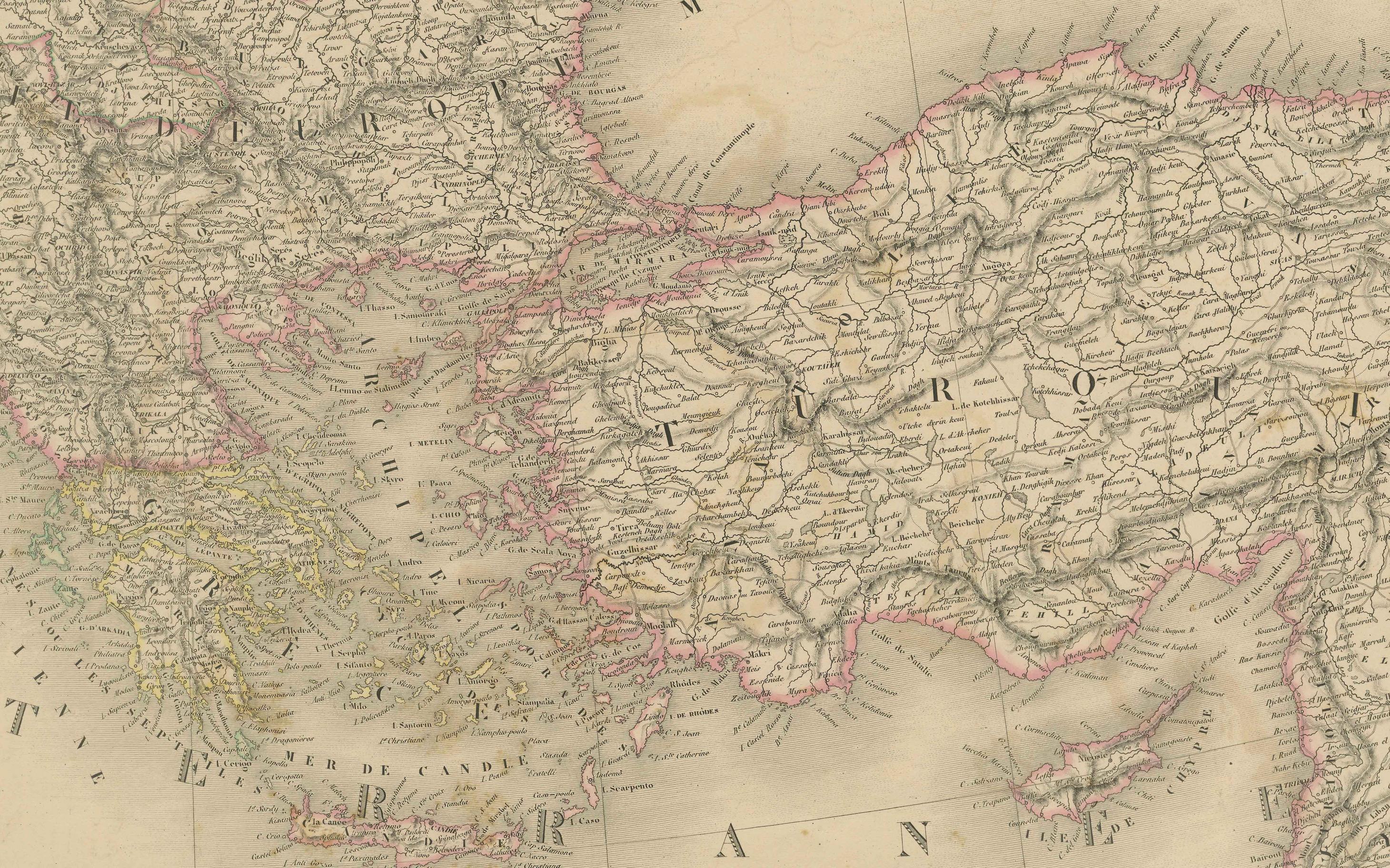
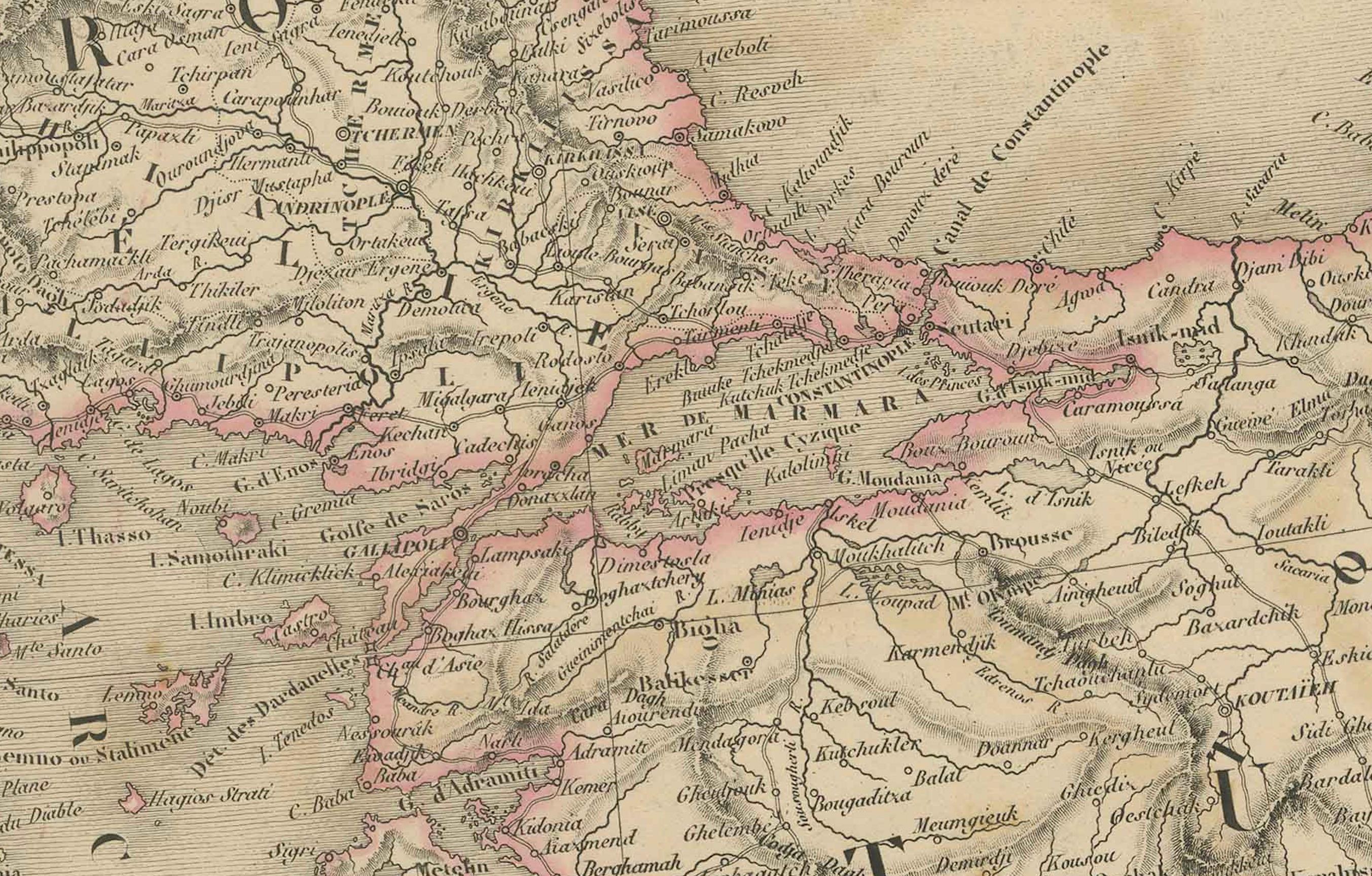
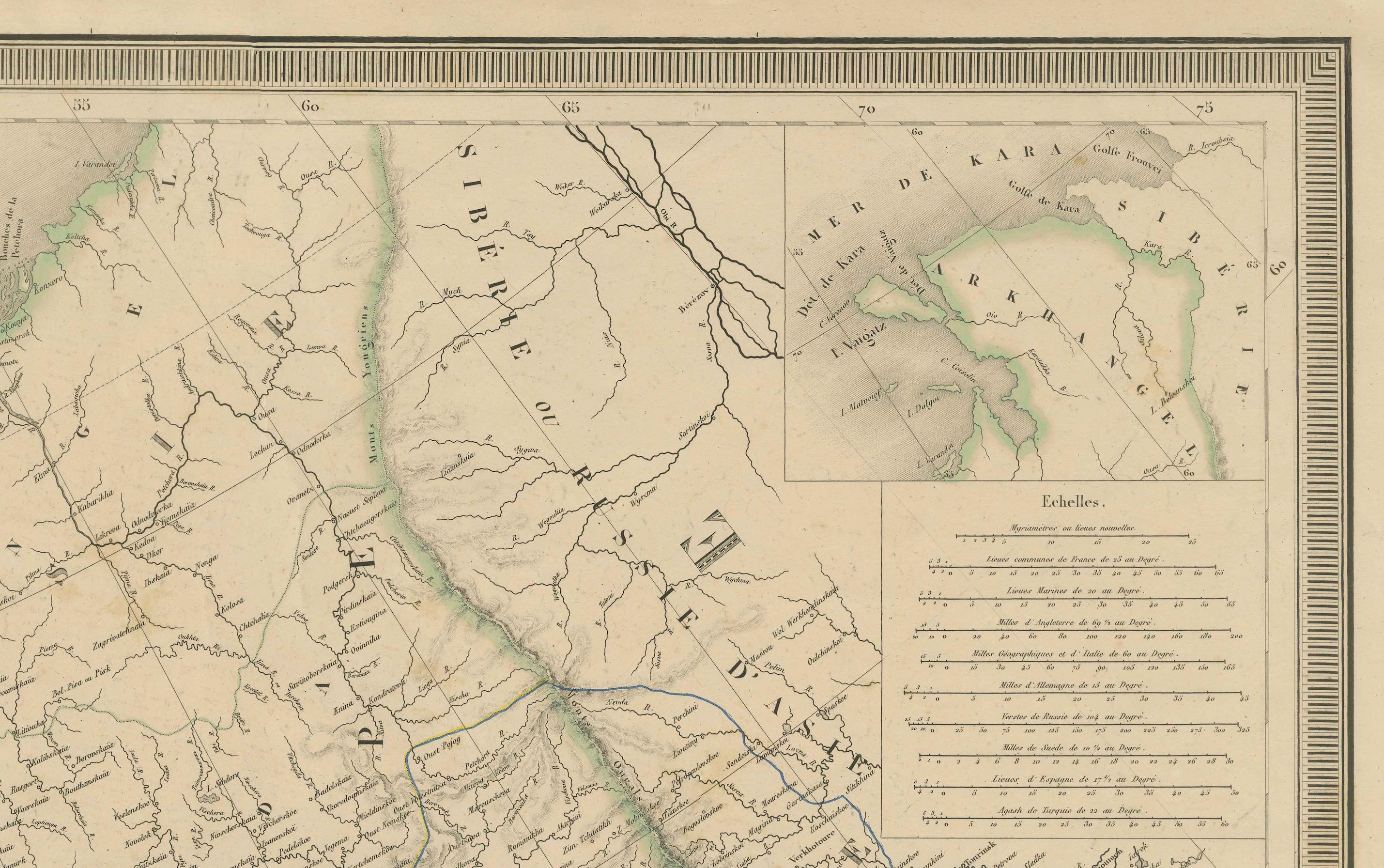
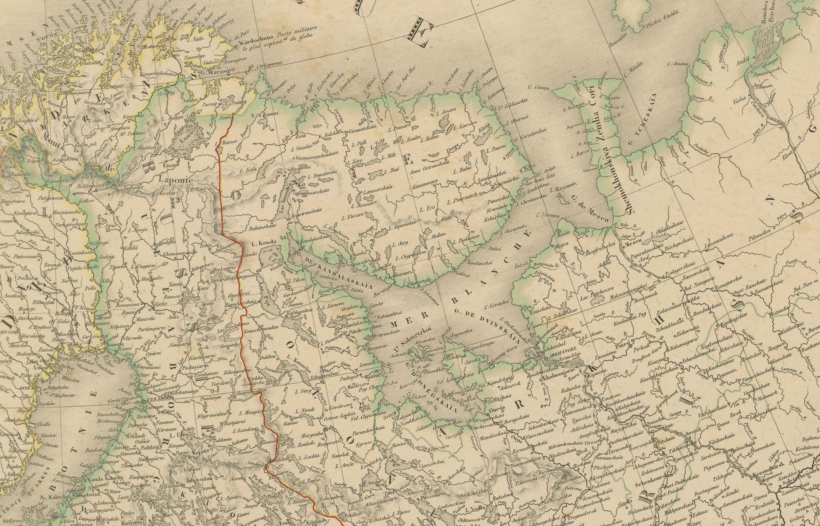
This magnificent and intricately detailed map of Europe, titled "Carte Physique et Politique de l'Europe," was created by the renowned French cartographer E. Andriveau-Goujon and published around 1849. It represents both the western and eastern sheets are loose sheets but can seamlessly be joined to form a complete and expansive view of the entire European continent. The map was engraved by P. Flahaut and published by the esteemed Parisian firm Chez J. Andriveau-Goujon as part of the celebrated "Atlas de Choix," a compilation of the best ancient and modern geographical maps carefully curated by the publisher.
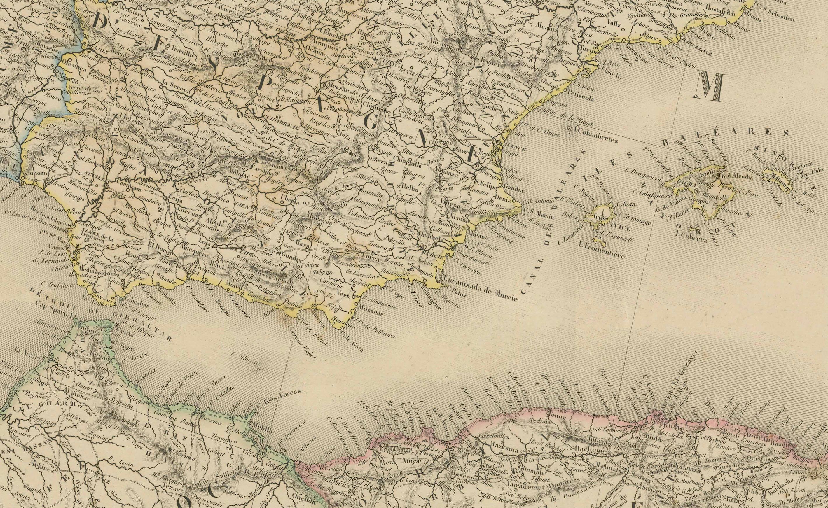
Measuring approximately 39 by 53 inches (or 99 by 134 centimeters) when combined, this map offers a remarkable portrayal of Europe as it was in the mid-19th century. The map covers the entirety of Europe, from the western coasts of Portugal and Spain to the eastern boundaries of Russia and the Caspian Sea. It also includes Iceland and parts of Northern Africa and the Middle East. The intricate and precise engraving reflects the advanced cartographic skills of the period, presenting a wealth of geographical and political information with clarity and elegance.
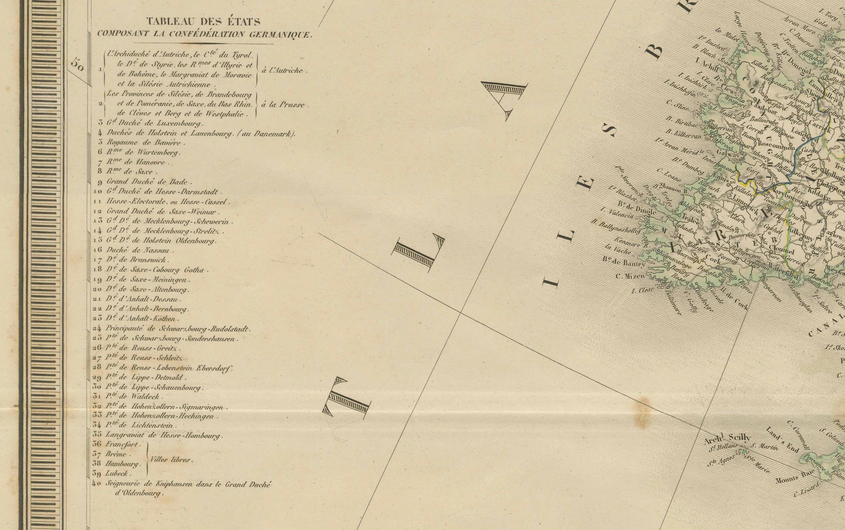
The map is beautifully hand-colored, using soft, pastel hues to delineate the various countries and regions. Each nation is distinctly shaded, allowing for easy identification of political boundaries. Rivers, mountain ranges, and significant geographical features are meticulously rendered, showcasing the natural and political landscape of Europe during the mid-19th century. The map also highlights major cities, towns, and capitals, demonstrating Andriveau-Goujon’s dedication to both scientific accuracy and practical use.
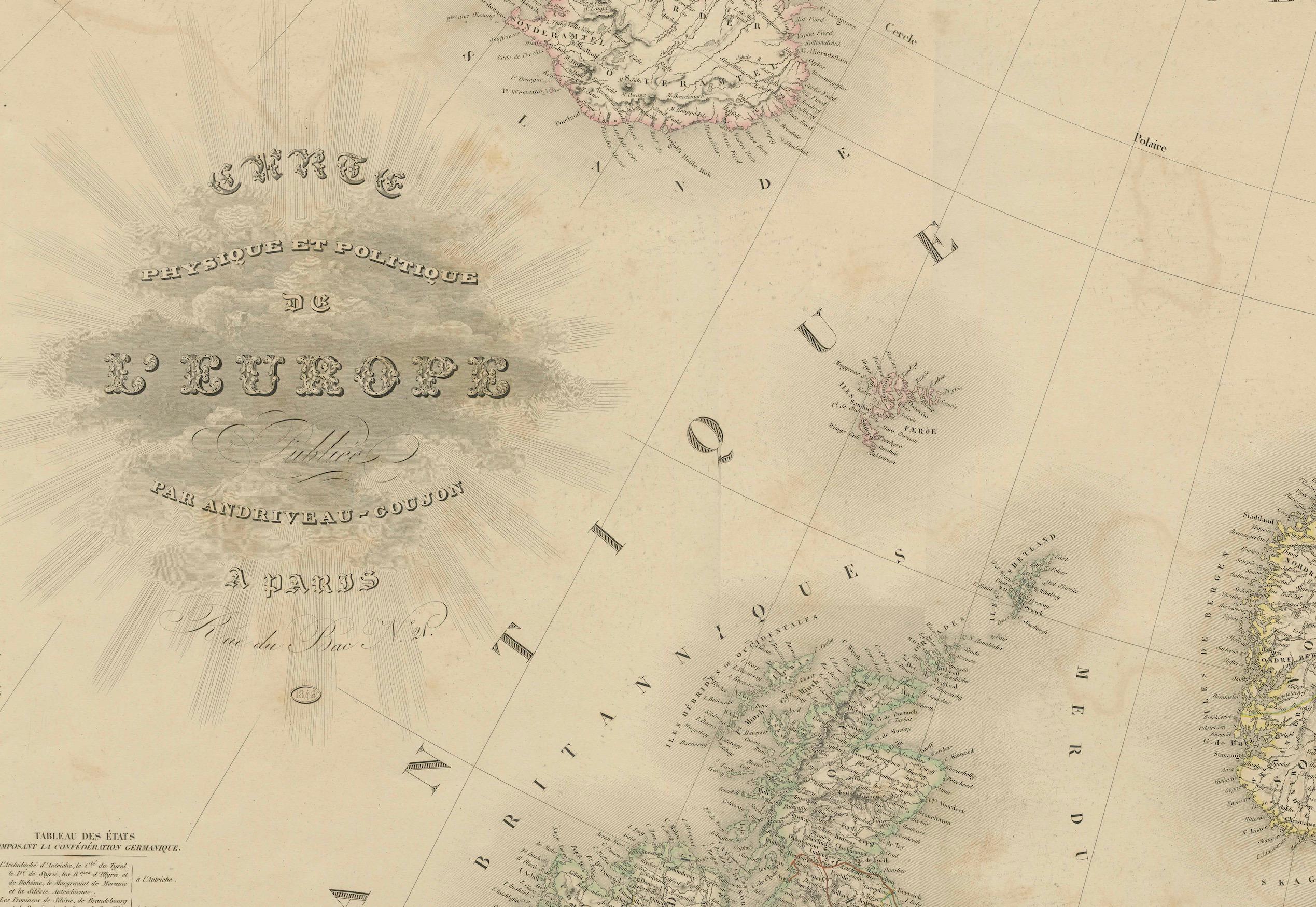
One of the most captivating aspects of this map is its detailed cartouche, located in the upper left corner of the western sheet. The cartouche bears the title "Carte Physique et Politique de l'Europe" and is elegantly decorated with ornamental flourishes that reflect the refined aesthetic standards of the period. The presence of the engraver's name, P. Flahaut, further attests to the craftsmanship and collaboration involved in producing such a grand cartographic work.
This map is a valuable historical artifact, reflecting the political realities of Europe around 1849. The mid-19th century was a time of significant territorial changes and political shifts, and this map captures the continent's complex structure with remarkable accuracy. Its dual focus on physical and political geography makes it not only a work of art but also an invaluable educational resource, offering insights into the continent’s ever-changing boundaries and diverse landscapes.
The map was produced using copperplate engraving, a highly skilled and labor-intensive technique that involved meticulously incising the design onto a copper plate. After the engraving process, the map was printed on fine-quality paper and then carefully hand-colored by skilled artisans. This combination of precision and artistic detail is characteristic of the high standards maintained by Andriveau-Goujon and his workshop.
Condition: The map is in good condition, with vibrant and well-preserved hand coloring. Some overal toning and minor fold marks are present, typical of maps of this age, but they do not detract from the overall quality and visual appeal. The paper is robust and the engraving remains crisp and clear.
Framing Tips: To present this majestic map in its full glory, consider using a classic dark wood or mahogany frame, complemented by a thin gold fillet to enhance the map's sophistication. A cream or light beige mat will create a pleasing contrast with the soft hand coloring. It is highly recommended to use UV-protective, non-reflective glass to preserve the colors and safeguard the map from environmental damage. Archival-quality framing materials will ensure that this valuable piece of cartographic history remains well-preserved for future generations.